Parking
The route starts on the B970 at Ruthven and ends at Etteridge. No dedicated car park for this one-way walk is identified; arrange lawful parking and transport between the ends.

Cairngorms National Park, SC
Follow General Wade’s road past a surviving stone bridge.
Overview
Map & elevation
Plan your hike

The highest, rockiest slopes around here are a summer buffet for grizzly bears.
Cairngorms Tour Guide
Parkwolf is a GPS audio tour guide for Cairngorms National Park. As you drive, it chimes in with what’s ahead: hidden gems, upcoming stops, history, geology, and wildlife, right through your car’s speakers.
See the Cairngorms audio tourRecorded for this trailhead
Ruthven Barracks after Culloden“Ruthven Barracks is ahead, a roofless government stronghold on a mound above Insh Marshes. Give it about half an hour if you'd like a compact stop with a powerful ending to the Jacobite story.”
Plays as you drive up to this trailhead in the Parkwolf Cairngorms Tour Guide.
More stories near here in the app
“Fantastic app with many points of information… It’s great to just turn on while you’re driving and it gives you an audio tour of the national Park. We love it!!!!”


Trail guide
Ruthven Military Road follows about 11 km (6.8 mi) of General Wade’s old military road from the B970 at Ruthven to Etteridge. It is a point-to-point walk, not a loop; allow about 3½ hours on rough, uneven track across open moor, with modest climbing. Walk it for the surviving bridge over Milton Burn, the road’s engineering, and the remains of settlements along the way. Arrange your return transport before setting out. Dogs are allowed under Scotland’s responsible-access rules; keep them under proper control around livestock and wildlife.
The route directions take walkers beneath the A9 near Ruthven, then along its hard shoulder to a road crossing before the old military road. The line reaches the A9 again at Etteridge, where the route description says crossing is too dangerous to recommend. Do not treat the old directions as a safe through-route: confirm a safe, lawful way across before attempting the full walk.
From Ruthven the route runs southwest across open Highland ground, passing Luibleathann bothy and Phones Lodge before reaching Etteridge. The old road is a rough track rather than a smooth path, with uneven ground and varying surfaces. Its 11 km is one way; the listed route does not include a return leg. Stay on the old military road instead of adding nearby forestry or road tracks.
General Wade’s military road connected Dunkeld and Inverness. The 102-mile route was built between 1728 and 1730 to move government troops through the Highlands. Ruthven Barracks, close to the northern end, were built in 1719–21 after the 1715 Jacobite rising; a stable for dragoons’ horses was added in 1734.
Look for the original humpback bridge over Milton Burn and the cross-drains that carried water off the road. Ruined homes at Milehouse of Nuide mark a once-settled stretch, while the ground between Phones and Nuide has kame-and-kettle glacial landforms. The old track curving through heather beside the bridge is the route’s most distinctive photo opportunity.
Wildlife
 159 sightingsRed DeerMost seen around 7 AMSighting map
 63 sightingsReindeerMost seen around 6 PMSighting map
 102 sightingsOspreyMost seen around 5 PMSighting map
 37 sightingsBlack GrouseMost seen around 4 AMSighting map
 72 sightingsRed GrouseMost seen around 6 PMSighting map
 82 sightingsPine MartenMost seen around 9 PMSighting map
Sighting maps show where each species has been reported across Cairngorms. Wildlife moves, so no sighting is guaranteed.
Keep exploring
 EasyInvertromie Trail, Insh Marshes4.5 km · 2 hr · 1.3 km awayHides, marsh pools and a quiet ridge make this a varied loop.
 EasyGlebe Ponds Walk, Kingussie0.5 km · 15 min · 1.4 km awayAn easy, accessible pond loop with ducks, benches and summer flowers.
 ChallengingCreag Bheag Trail5.5 km · 2.8 hr · 1.4 km awayA steep Kingussie loop to a summit shelter and wide views.
 ModerateGolf Course Circular, Kingussie4.5 km · 2 hr · 1.4 km awayFollow Gynack Burn to a Highland loch on a compact waymarked loop.
 EasyGynack Mill Trail2 km · 1 hr · 1.4 km awayA short Kingussie loop beside a burn that powered its mills.
 ModerateTom Baraidh5.5 km · 2 hr · 1.4 km awayA pinewood loop with an outlook across Kingussie.
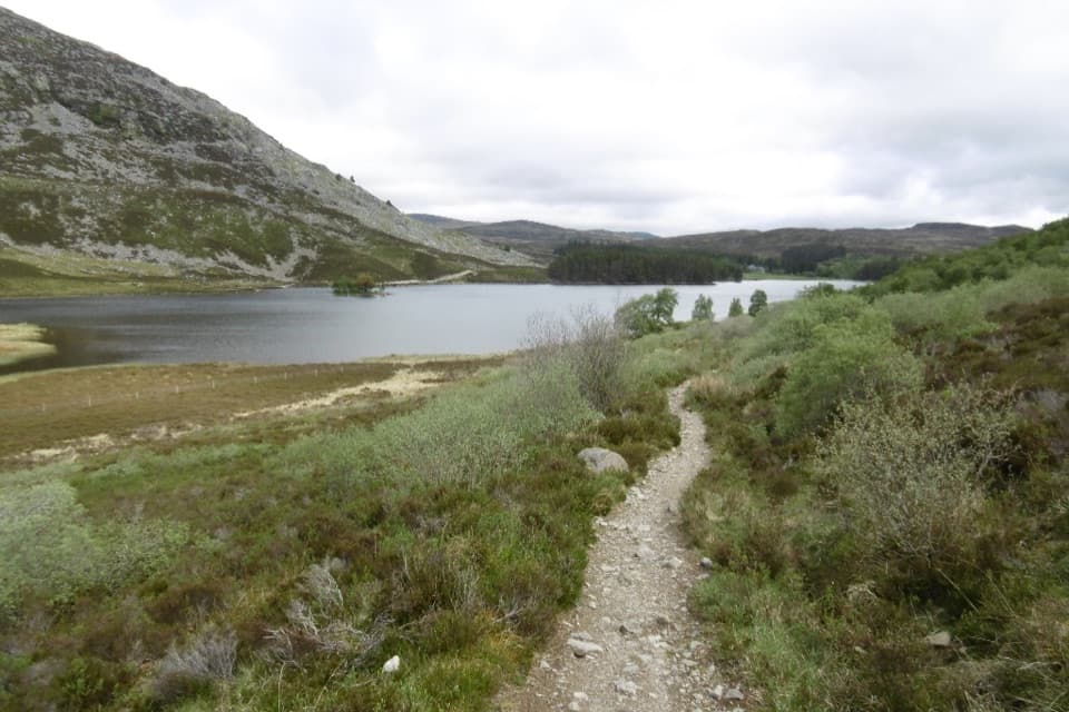 ChallengingCurlew Trail, Kingussie to Newtonmore8 km · 3.5 hr · 1.4 km awayA rough hill crossing links Kingussie and Newtonmore via Loch Gynack.
 ModerateWest Terrace Circular2.4 km · 1.5 hr · 1.4 km awayA short woodland loop with Spey valley views above Kingussie.
 Sight · 0.3 km awayRuthven BarracksCulloden's aftermath is written into these roofless barracks.
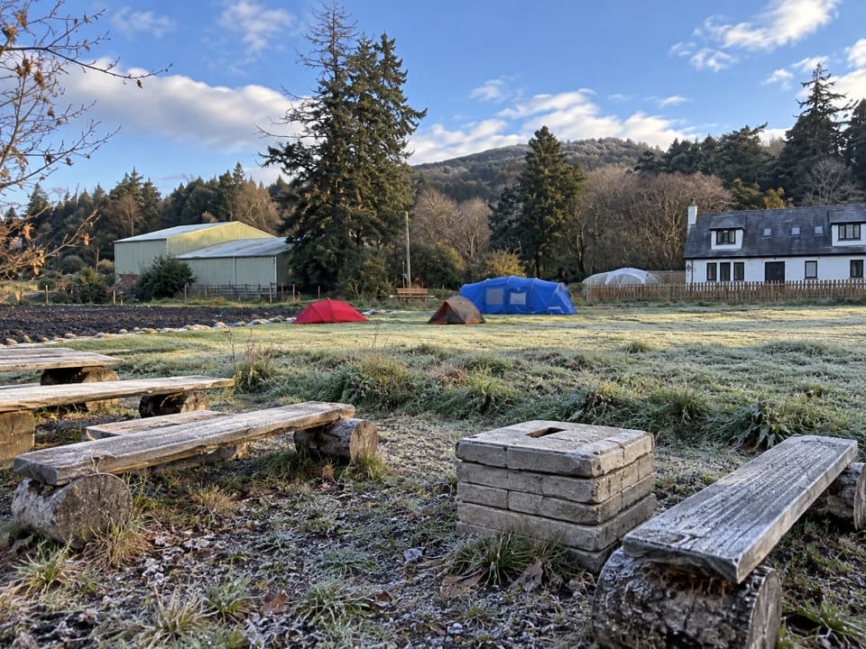 Campground · 1.3 km awayKingussie Camping & AireA practical motorhome stop beside Kingussie station.
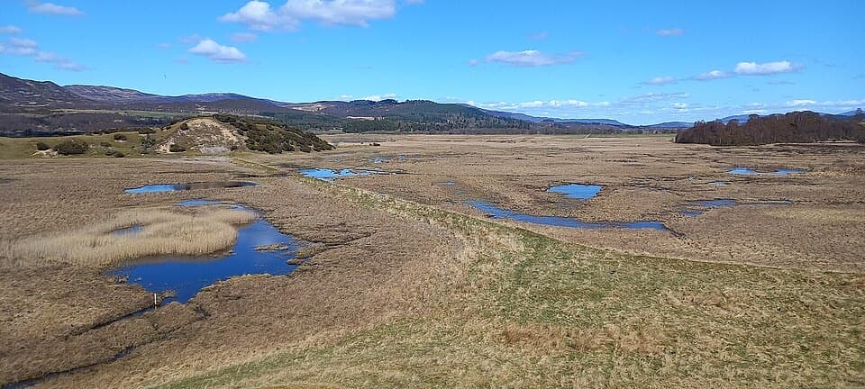 Sight · 1.3 km awayInsh MarshesA slow walk earns bird hides and wide floodplain views.
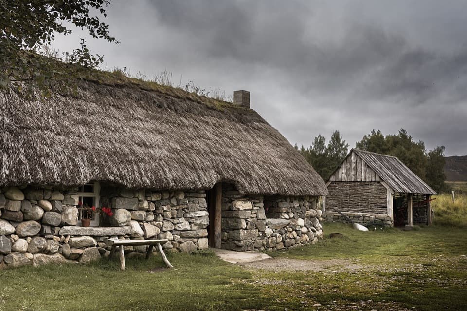 Sight · 3.3 km awayHighland Folk MuseumA reconstructed township and over 35 Highland buildings to explore.
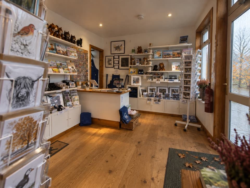 Visitor center · 4.7 km awayThe Wildcat CentrePick up a map and hunt Newtonmore’s 132 painted wildcats.
 Sight · 5 km awayClan Macpherson MuseumClan stories, Jacobite objects and music in a village museum.
 Sight · 6.3 km awayHighland Wildlife ParkSee the reserve by car, then explore the animal habitats on foot.
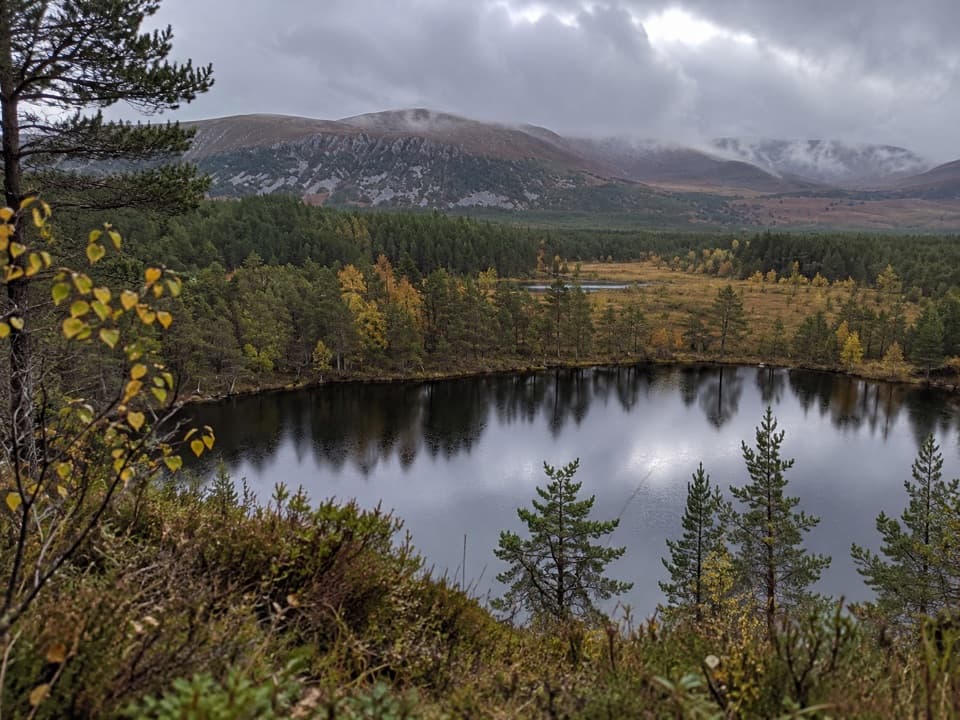 Sight · 7.8 km awayUath LochansSmall woodland lochs, with a steep climb to Strathspey views.
Parkwolf’s Cairngorms ranking

The audio tour guide for the drive, plus offline maps, trails, and wildlife heatmaps for when the signal drops.





