Parking
No specific parking site at the Aviemore start was verified; the route begins on local Aviemore roads. It ends at Glenmore by Loch Morlich, so plan onward transport or a return walk.
Cairngorms National Park, SC
A shared forest path from Aviemore to Loch Morlich’s sandy shore.
Overview
Map & elevation
Plan your hike

The highest, rockiest slopes around here are a summer buffet for grizzly bears.
Cairngorms Tour Guide
Parkwolf is a GPS audio tour guide for Cairngorms National Park. As you drive, it chimes in with what’s ahead: hidden gems, upcoming stops, history, geology, and wildlife, right through your car’s speakers.
See the Cairngorms audio tourRecorded for this trailhead
Strathspey Railway from Aviemore“You're nearing Aviemore station, where the Strathspey Railway leaves for Boat of Garten and Broomhill.”
Plays as you drive up to this trailhead in the Parkwolf Cairngorms Tour Guide.
More stories near here in the app
“Fantastic app with many points of information… It’s great to just turn on while you’re driving and it gives you an audio tour of the national Park. We love it!!!!”


Trail guide
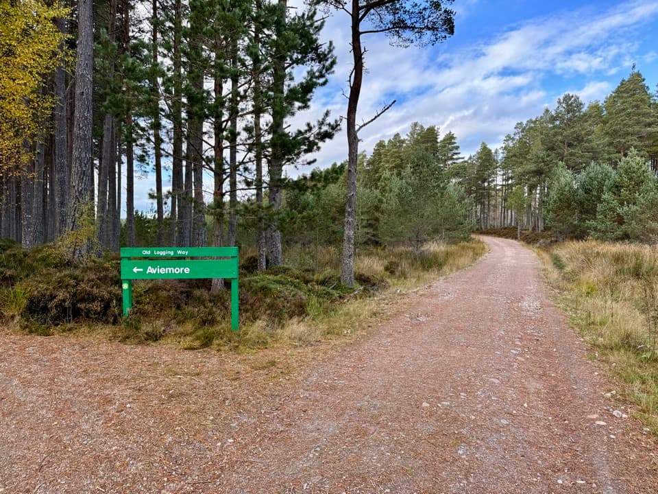
The Old Logging Way is a 6.7-mile point-to-point shared route for walking and cycling, from Aviemore to Glenmore by Loch Morlich. It runs through Inverdruie and Coylumbridge, starting on quiet town roads and surfaced paths before winding through pine forest and moorland to the loch. The published walking allowances add up to about 4 hours 15 minutes. Most of the route is surfaced and comparatively gentle, though its long final section has uneven ground and moderate zig-zag slopes.
Start in Aviemore and finish at Glenmore, so arrange onward transport or allow time to retrace the route. For a shorter outing, the first official section from Aviemore to Inverdruie is 2 km each way, about 4 km as an out-and-back. The full route has road crossings, and walkers share parts with cyclists; allow time for crossings and other path users.
The Aviemore–Inverdruie section follows quiet roads and tarmac or pavement, mostly level, then joins a shared path at the old railway bridge over the River Spey. From Inverdruie to Coylumbridge, a smooth surfaced path follows the pine-forest edge, with glimpses toward the Cairngorms, a short moderate slope and a road crossing. The final 7.2 km to Glenmore winds through pines and moorland. It is mostly surfaced, with a short forest-track stretch, narrower or uneven spots, moderate zig-zag slopes, crossings, bridges and chicane barriers.
The route follows a line once used by forestry workers. The National Park Authority points out a roughly 300-year-old “granny” Scots pine along the way, though its exact position is not specified. Red squirrels, deer and birds may be seen, but sightings are not guaranteed. At Glenmore, Loch Morlich’s sandy beach and views toward the Northern Corries make a distinct finish; the Authority also notes cafés along the route, without identifying businesses or hours.
Wildlife
 159 sightingsRed DeerMost seen around 7 AMSighting map
 63 sightingsReindeerMost seen around 6 PMSighting map
 102 sightingsOspreyMost seen around 5 PMSighting map
 37 sightingsBlack GrouseMost seen around 4 AMSighting map
 72 sightingsRed GrouseMost seen around 6 PMSighting map
 82 sightingsPine MartenMost seen around 9 PMSighting map
Sighting maps show where each species has been reported across Cairngorms. Wildlife moves, so no sighting is guaranteed.
Keep exploring
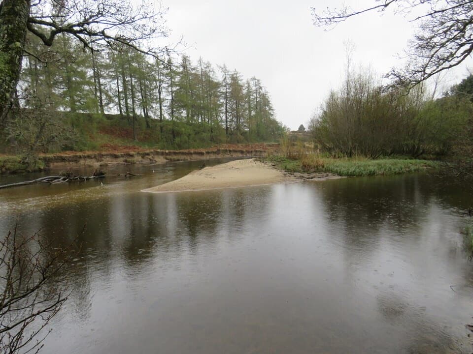 EasyRiverside Park Trail, Aviemore1.4 km · 30 min · 0.2 km awayA gentle River Spey loop for an easy half-hour walk.
 ChallengingViewpoint Trail, Craigellachie4.4 km · 2.5 hr · 0.7 km awayA sustained birchwood climb with wide views over Aviemore.
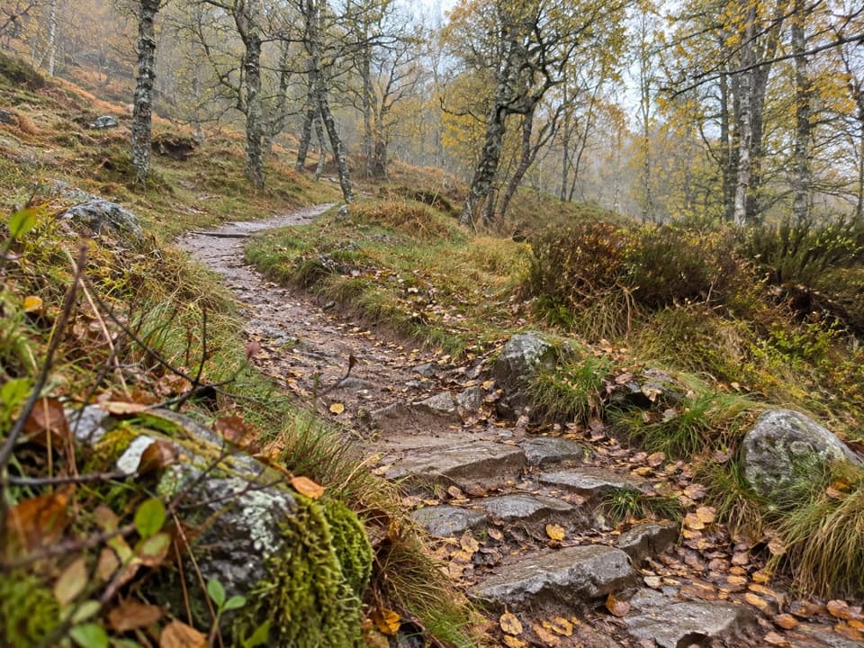 ModerateWoodland Trail, Craigellachie1 km · 20 min · 0.7 km awayA birchwood loop with spring flowers and a few steep, uneven stretches.
 EasyAviemore Orbital7.2 km · 2.5 hr · 0.7 km awayA gentle Aviemore loop through woods, town paths and the Spey
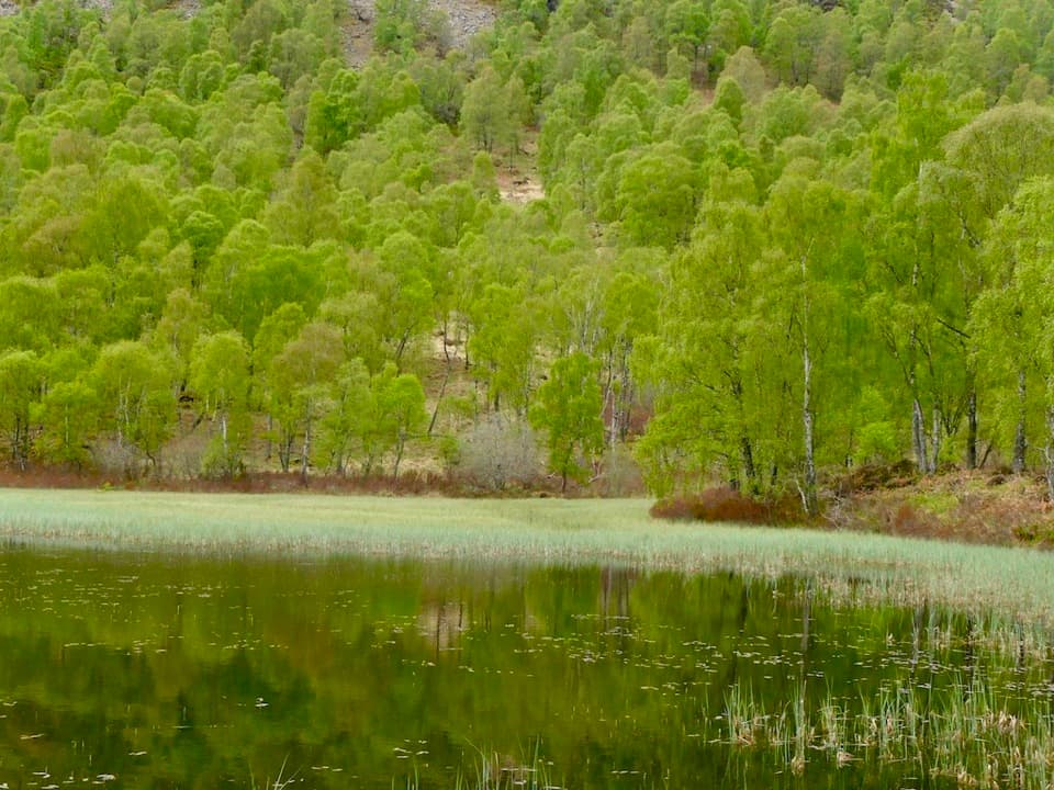 ChallengingBuzzard Trail1.8 km · 1.1 hr · 0.7 km awayA steep woodland loop above Craigellachie’s old reservoir.
 ModerateBeaver Trail, Rothiemurchus7 km · 2.3 hr · 1.6 km awayWatch for beaver signs, then detour for Loch an Eilein’s ruined castle.
 ChallengingLairig Ghru30.6 km · 10 hr · 2.6 km awayA full Cairngorms crossing over a rough, remote pass.
 EasyRothiemurchus Forest and the Iron Bridge7.6 km · 2 hr · 2.6 km awayA gentle pinewood loop to a 1912 bridge over the Am Beanaidh.
 Sight · 0.2 km awayStrathspey RailwayA vintage train runs through Speyside to TV-famous Broomhill.
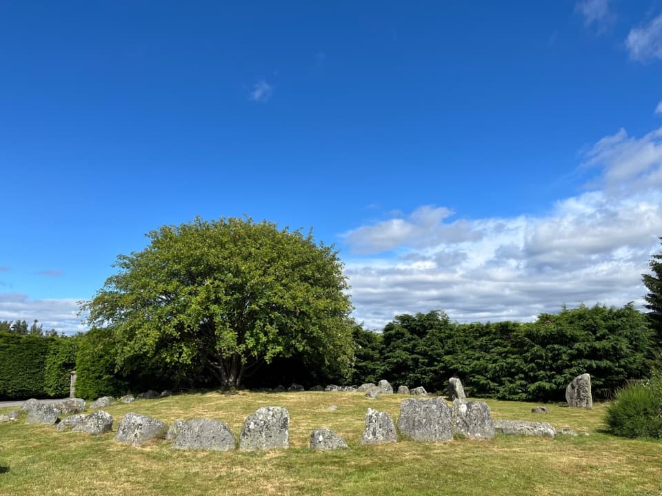 Sight · 1 km awayAviemore Ring Cairn and Stone CircleA small prehistoric circle in Aviemore’s unexpected village setting.
 Sight · 1.3 km awayCairngorm BreweryA small Aviemore taproom for trying local ales and taking favourites home.
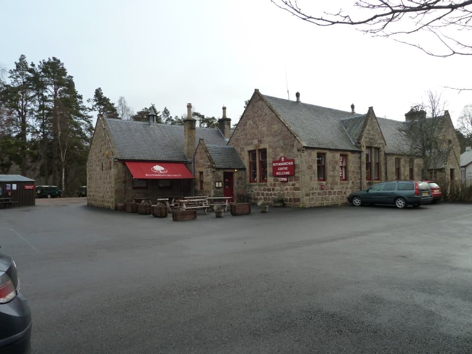 Visitor center · 1.7 km awayRothiemurchus CentreCoffee, estate food and a handy start to local walks.
 Campground · 2.4 km awayOakwood Caravan & Camping ParkOak-shaded camping, with Aviemore a 20–30-minute walk away.
 Campground · 2.6 km awayRothiemurchus Camp and Caravan ParkA pinewood base for tents, caravans and nearby walks.
 Sight · 4.2 km awayLoch an EileinAn island castle makes this easy loch loop memorable.
 Campground · 5.7 km awayDalraddy Holiday ParkA forested camping base with Thai food and activity options.
Parkwolf’s Cairngorms ranking

The audio tour guide for the drive, plus offline maps, trails, and wildlife heatmaps for when the signal drops.



