Parking
Start at the Burn O’Vat visitor-centre car park on the B9119, reached from the A93 at the reserve turn. Cross the road to the marked Little Ord start; the main lot has dedicated disabled bays.

Cairngorms National Park, SC
A woodland loop past a Pictish cross and two abandoned villages.
Overview
Map & elevation
Plan your hike

The highest, rockiest slopes around here are a summer buffet for grizzly bears.
Cairngorms Tour Guide
Parkwolf is a GPS audio tour guide for Cairngorms National Park. As you drive, it chimes in with what’s ahead: hidden gems, upcoming stops, history, geology, and wildlife, right through your car’s speakers.
See the Cairngorms audio tourRecorded for this trailhead
Burn O’Vat’s Hidden Chamber“Burn O'Vat is coming up, where a narrow crack opens into a round granite chamber with a stream running through it.”
Plays as you drive up to this trailhead in the Parkwolf Cairngorms Tour Guide.
More stories near here in the app
“Fantastic app with many points of information… It’s great to just turn on while you’re driving and it gives you an audio tour of the national Park. We love it!!!!”


Trail guide
Little Ord Trail is a 3.44-mile (5.5 km) loop with a short out-and-back access leg from the Burn O’Vat visitor-centre car park. Cross the B9119, follow the archaeology circuit through woodland and over Esker Ridge, then pass Kinord Cross, the Loch Kinord shore and the old settlements before returning the way you came to the loop. Allow 1.5 to 2 hours. Pick this one for a history-rich woodland walk; it is separate from both the full Loch Kinord circuit and the Vat Trail.
The trail begins across the road from the car park. Its firm path gets narrow and uneven in places, with roots, short moderate slopes and two gates; there are occasional seats. It rises over Esker Ridge, opens into a meadow and drops toward Kinord Cross. From there, the path follows part of Loch Kinord, where gaps in the trees reveal the water and its islands. It later turns inland, crossing a clearing with traces of an Iron Age settlement and the remains of Old Kinord, then returns over the ridge and retraces the access leg.
Esker Ridge is a low ridge of sand and gravel laid down by meltwater beneath glacial ice. The shallow kettle holes beside it formed where buried blocks of ice melted as the last ice sheet retreated. Those dips and rises explain why this otherwise modest woodland walk keeps changing shape underfoot.
Kinord Cross is a carved Pictish stone more than a thousand years old. Loch Kinord’s crannog was a hut built on a platform over the water; a nearby island once held a castle visited by Scottish kings. The inland clearing holds the ground traces of an Iron Age village, while Old Kinord preserves the remains of a 19th-century settlement. The cross is the route’s standout close-up photo subject; the lochside also gives intermittent views toward the islands.
Birch and aspen woodland and two lochs make this a good place to watch for birds. Spring brings willow warblers and swallows; winter brings flocks of finches and waterbirds, including goldeneye. Dogs are allowed, but from April through July keep them on a short lead or under close control while birds breed around the lochs. Toilets are near the visitor centre and open year-round, with occasional perch seating on the trail. No food outlet or drinking-water point was identified. For a much shorter outing from the same car park, the separate Vat Trail visits the glacier-carved pothole.
Wildlife
 159 sightingsRed DeerMost seen around 7 AMSighting map
 63 sightingsReindeerMost seen around 6 PMSighting map
 102 sightingsOspreyMost seen around 5 PMSighting map
 37 sightingsBlack GrouseMost seen around 4 AMSighting map
 72 sightingsRed GrouseMost seen around 6 PMSighting map
 82 sightingsPine MartenMost seen around 9 PMSighting map
Sighting maps show where each species has been reported across Cairngorms. Wildlife moves, so no sighting is guaranteed.
Keep exploring
 ModerateThe Vat Trail1 km · 45 min · At the trailheadA short woodland loop to a granite bowl and a loch view.
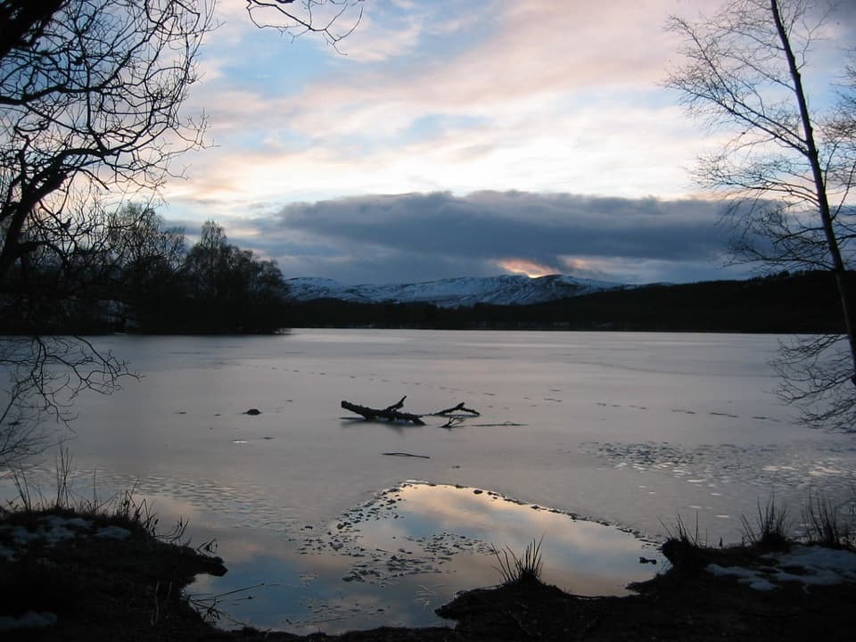 ModerateLoch Kinord Trail6.4 km · 2.5 hr · At the trailheadFour miles of loch shore, birch woodland and Pictish history.
 ModerateParkin’s Moss Trail3.2 km · 1.5 hr · At the trailheadA short loop takes you onto the raised bog by boardwalk.
 ModerateTwo Lochans Trail, Cambus o’May2.5 km · 1 hr · 3 km awayA forest loop past two glacial lochans and old quarry stone.ModerateLochside Trail, Cambus o’May0.8 km · 15 min · 3 km awayA short lochan loop with an esker and Dee valley views.ModeratePine Tree Trail, Cambus o’May4.3 km · 1.5 hr · 3 km awayA yellow-marked loop linking two lochans and three bridges.
 ChallengingMount Keen via Glen Tanar29.3 km · 9 hr · 5.9 km awayA long pinewood approach to Scotland’s most easterly Munro.
 EasyJuniper Viewpoint Path, Glen Tanar0.6 km · 20 min · 6 km awayA quick, steep climb to a view across Glen Tanar.Sight · 0.4 km awayBurn O’VatA narrow crack opens into an 18-metre granite chamber with a waterfall.
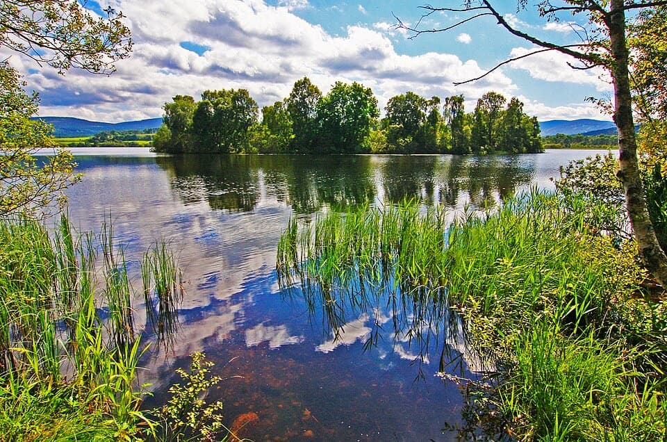 Sight · 1.7 km awayLoch KinordA lochside circuit links wooded islands and Pictish carving.
 Sight · 2.3 km awayCambus o’May Suspension BridgeCross the Dee on a white 1905 suspension bridge
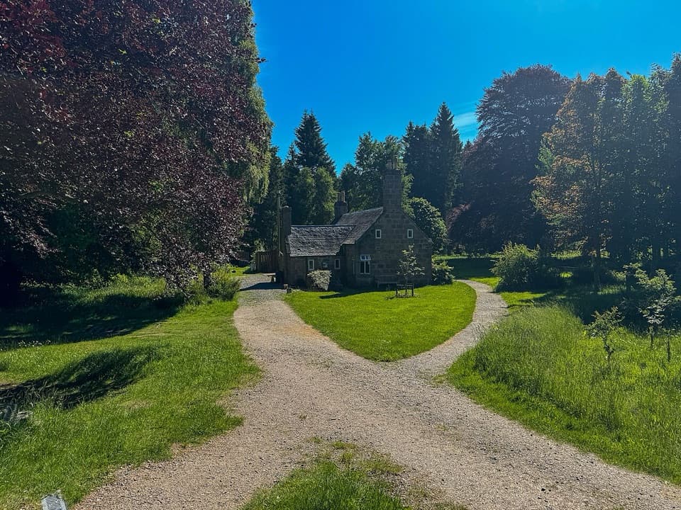 Visitor center · 6.1 km awayGlen Tanar Visitor CentreRanger advice and heritage displays make a useful start to glen walks.
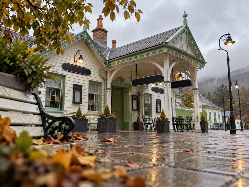 Sight · 7 km awayBallater Old Royal StationA replica royal carriage, station history and a café under one roof.
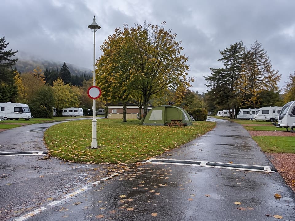 Campground · 7.4 km awayBallater Caravan ParkPitch beside the Dee, then walk into Ballater.
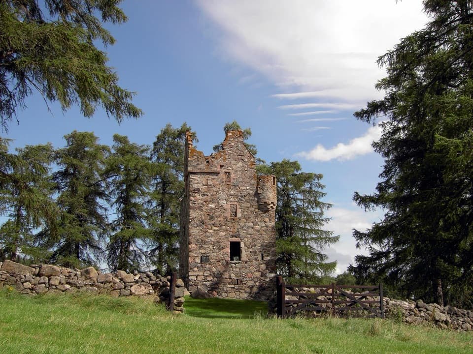 Sight · 8.9 km awayKnock CastleA roofless Gordon tower above Ballater, with a surviving spiral stair.
 Sight · 13.4 km awayGairnshiel BridgeA humpback stone arch beside the modern A939 crossing.
Parkwolf’s Cairngorms ranking

The audio tour guide for the drive, plus offline maps, trails, and wildlife heatmaps for when the signal drops.





