Parking
Start at Burn O’ Vat visitor-centre car park, across the B9119 from the marked trail entrance. Cross the road to start and again on the return. The level, hard-surfaced car park has dedicated disabled bays; toilets are nearby.
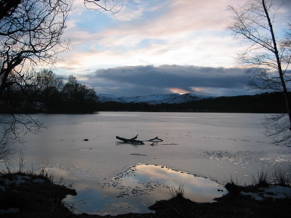
#25 of 260 trails in Cairngorms
Cairngorms National Park, SC
Four miles of loch shore, birch woodland and Pictish history.
Overview
Map & elevation
Plan your hike

The highest, rockiest slopes around here are a summer buffet for grizzly bears.
Cairngorms Tour Guide
Parkwolf is a GPS audio tour guide for Cairngorms National Park. As you drive, it chimes in with what’s ahead: hidden gems, upcoming stops, history, geology, and wildlife, right through your car’s speakers.
See the Cairngorms audio tourRecorded for this trailhead
Burn O’Vat’s Hidden Chamber“Burn O'Vat is coming up, where a narrow crack opens into a round granite chamber with a stream running through it.”
Plays as you drive up to this trailhead in the Parkwolf Cairngorms Tour Guide.
More stories near here in the app
“Fantastic app with many points of information… It’s great to just turn on while you’re driving and it gives you an audio tour of the national Park. We love it!!!!”


Trail guide
Loch Kinord Trail is the circular 4-mile (6.5 km) walk from Burn O’ Vat visitor centre, through birch woodland, along the loch shore and back through the reserve. NatureScot allows about 2½ hours. It’s a good half-day walk if you want water, trees and archaeology together; there’s also a shorter 45-minute option in the reserve for a brief visit.
NatureScot classifies the trail as strenuous. Much of the path is firm, but it narrows around exposed roots and uneven ground, with short moderate slopes and occasional mud after rain. The effort comes from four miles on rougher ground than the modest elevation change suggests. There are occasional seats along the way.
Cross the B9119 from the visitor-centre car park and follow the blue-and-white duck markers. At a small stone chapel, take the left-hand fork downhill to the loch shore; the right branch leads toward Dinnet and leaves this circuit. The path follows the water before a marked turn inland and a return through birch woodland.
From the shore, look across to Crannog Island and Castle Island. The smaller island holds the remains of an Iron Age crannog, a dwelling built on a platform in the water; the larger island is a former castle site. The shore is the walk’s best stretch for seeing the islands clearly.
The inland return passes Kinnord Cross, a Pictish carved stone more than 1,000 years old, then crosses a low esker ridge left by meltwater. The loch basins were shaped by ice during the last Ice Age.
Spring and winter are especially good for birds. In winter, look for whooper swans and geese; otters live here but are hard to spot. From April through July, keep dogs on a short lead or under close control while birds breed on the lochs. Toilets are a short walk from the visitor centre, and two picnic benches are reached by a surfaced path; no food service was identified.
Wildlife
 159 sightingsRed DeerMost seen around 7 AMSighting map
 63 sightingsReindeerMost seen around 6 PMSighting map
 102 sightingsOspreyMost seen around 5 PMSighting map
 37 sightingsBlack GrouseMost seen around 4 AMSighting map
 72 sightingsRed GrouseMost seen around 6 PMSighting map
 82 sightingsPine MartenMost seen around 9 PMSighting map
Sighting maps show where each species has been reported across Cairngorms. Wildlife moves, so no sighting is guaranteed.
Keep exploring
 ModerateParkin’s Moss Trail3.2 km · 1.5 hr · At the trailheadA short loop takes you onto the raised bog by boardwalk.
 ModerateThe Vat Trail1 km · 45 min · At the trailheadA short woodland loop to a granite bowl and a loch view.
 EasyLittle Ord Trail5.5 km · 1.8 hr · At the trailheadA woodland loop past a Pictish cross and two abandoned villages.
 ModerateTwo Lochans Trail, Cambus o’May2.5 km · 1 hr · 3 km awayA forest loop past two glacial lochans and old quarry stone.ModerateLochside Trail, Cambus o’May0.8 km · 15 min · 3 km awayA short lochan loop with an esker and Dee valley views.ModeratePine Tree Trail, Cambus o’May4.3 km · 1.5 hr · 3 km awayA yellow-marked loop linking two lochans and three bridges.
 ChallengingMount Keen via Glen Tanar29.3 km · 9 hr · 5.9 km awayA long pinewood approach to Scotland’s most easterly Munro.
 EasyJuniper Viewpoint Path, Glen Tanar0.6 km · 20 min · 6 km awayA quick, steep climb to a view across Glen Tanar.Sight · 0.5 km awayBurn O’VatA narrow crack opens into an 18-metre granite chamber with a waterfall.
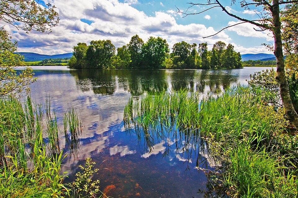 Sight · 1.7 km awayLoch KinordA lochside circuit links wooded islands and Pictish carving.
 Sight · 2.3 km awayCambus o’May Suspension BridgeCross the Dee on a white 1905 suspension bridge
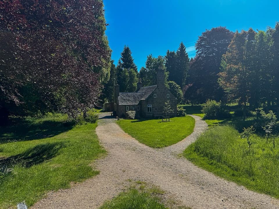 Visitor center · 6.1 km awayGlen Tanar Visitor CentreRanger advice and heritage displays make a useful start to glen walks.
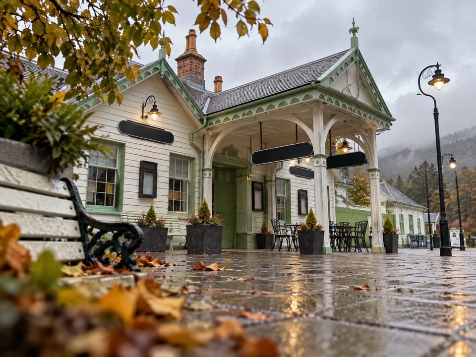 Sight · 7 km awayBallater Old Royal StationA replica royal carriage, station history and a café under one roof.
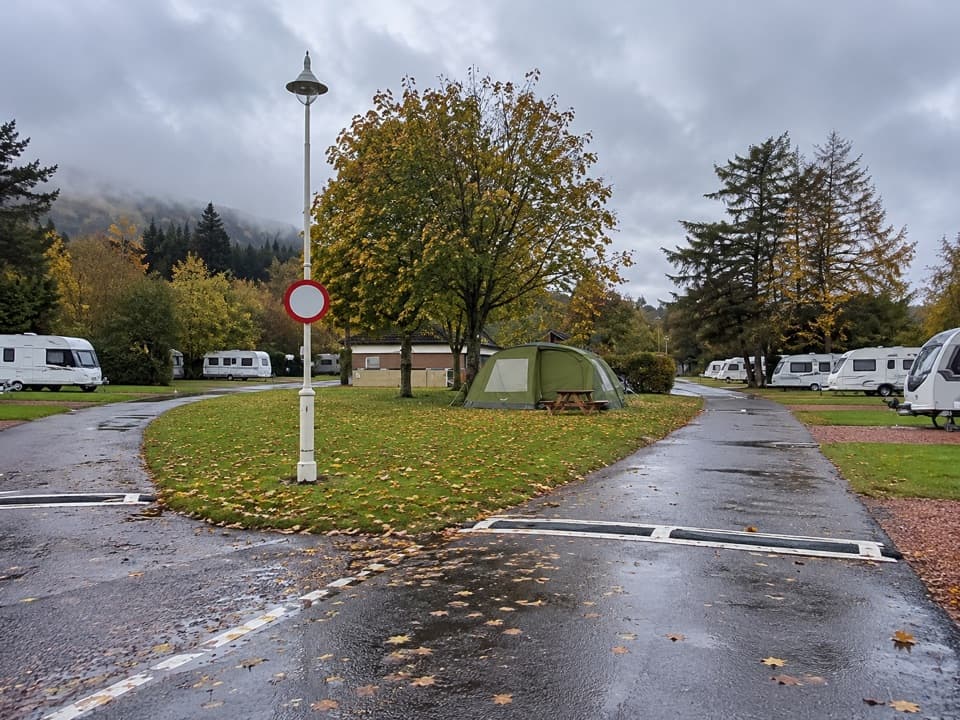 Campground · 7.4 km awayBallater Caravan ParkPitch beside the Dee, then walk into Ballater.
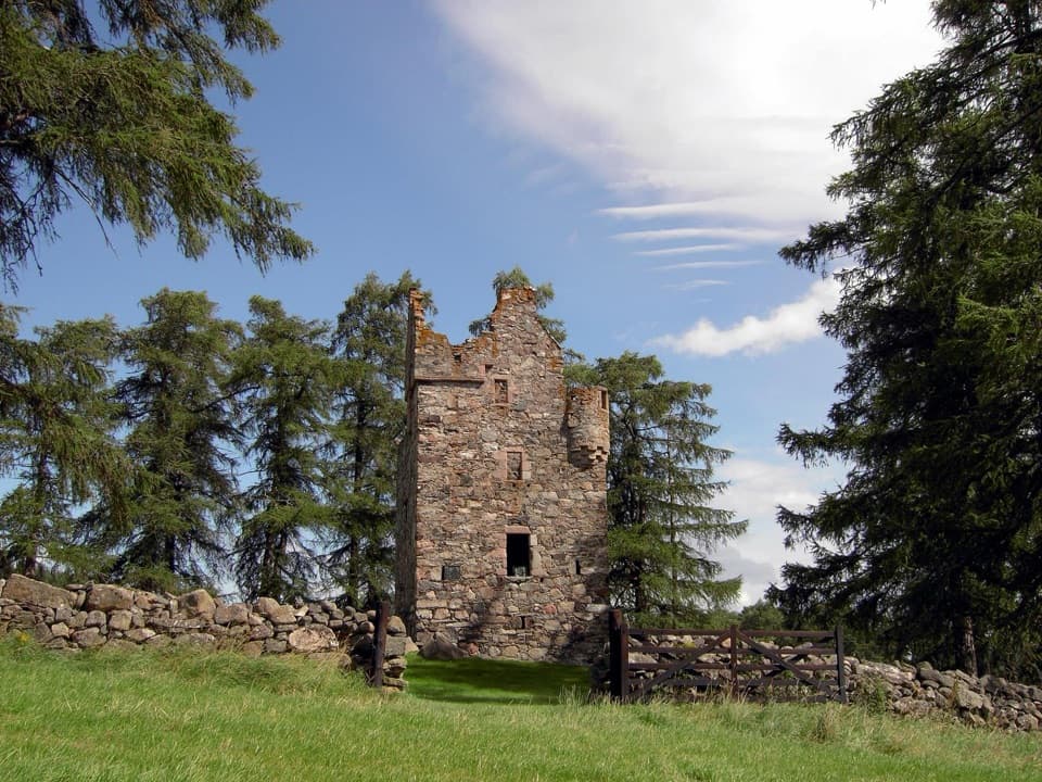 Sight · 8.9 km awayKnock CastleA roofless Gordon tower above Ballater, with a surviving spiral stair.
 Sight · 13.5 km awayGairnshiel BridgeA humpback stone arch beside the modern A939 crossing.
Parkwolf’s Cairngorms ranking

The audio tour guide for the drive, plus offline maps, trails, and wildlife heatmaps for when the signal drops.





