Parking
Use the paid Cambus o’ May forestry car park on the north side of the A93 between Ballater and Dinnet; the information board is the trail start.

Cairngorms National Park, SC
A yellow-marked loop linking two lochans and three bridges.
Overview
Map & elevation
Plan your hike

The highest, rockiest slopes around here are a summer buffet for grizzly bears.
Cairngorms Tour Guide
Parkwolf is a GPS audio tour guide for Cairngorms National Park. As you drive, it chimes in with what’s ahead: hidden gems, upcoming stops, history, geology, and wildlife, right through your car’s speakers.
See the Cairngorms audio tourRecorded for this trailhead
Cambus o’May Forest and its Lochans“The entrance to Cambus o'May Forest is coming up. For a walk among pines and small lochs, I'd choose the red-marked Two Lochans Trail, a mile-and-a-half loop taking about an hour.”
Plays as you drive up to this trailhead in the Parkwolf Cairngorms Tour Guide.
More stories near here in the app
“Fantastic app with many points of information… It’s great to just turn on while you’re driving and it gives you an audio tour of the national Park. We love it!!!!”


Trail guide
Pine Tree Trail is a 4.3 km (about 2.7 mile) loop through the pinewoods at Cambus o’ May. It is the longest of the three marked circuits here, passing two forest lochans and three bridges. Allow about 1½ hours. Choose it for an easy-to-follow forest walk with a little climb, water views and a glimpse of Deeside from the opening ridge.
Start at the information board in the forestry car park and follow the yellow-banded posts. The path climbs along a low birch-covered ridge, with views up Deeside to your left. The first lochan sits down to the right; stay straight at the next right-hand fork, then cross a forestry track. The route runs beneath power lines for a while before entering the pines again. At a small wooden footbridge beside a stone bridge, keep straight on the yellow route; the red trail turns away to the right.
Later, turn right along a track and take the yellow-marked path to the right at the next post. The red trail eventually joins from the right; continue ahead, then bear left at the next junction and cross a wooden footbridge. The second lochan appears on your right. After the tiny stone bridge, a picnic table looks over the water. From there, turn left at the next junction and left again onto a track. Follow it toward a barrier, then turn right onto the waymarked path back to the car park.
Red squirrels, capercaillie and black grouse live in this pine forest. The route passes two small lochans, with the table beside the second one making a good place to pause. This is important ground-nesting bird habitat, so keep dogs close at heel or on a lead.
The route is rated moderate, with about 50 m of ascent. The surface is uneven gravel with some rocky and muddy stretches, exposed roots and a few steeper slopes. The bridges are part of the walk, so take care where roots and rough ground meet the crossings. The 4.3 km figure is for the whole loop.
The paid Cambus o’ May forestry car park is on the north side of the A93 between Ballater and Dinnet; start at the information board. There is a picnic area, but no public toilets at the site; the nearest are in Ballater and Aboyne. No food outlet or drinking-water point is listed at the car park, so bring what you need. If this loop is more than you want, the same car park has the 1 km Lochside Trail and 2.5 km Two Lochans Trail.
Wildlife
 159 sightingsRed DeerMost seen around 7 AMSighting map
 63 sightingsReindeerMost seen around 6 PMSighting map
 102 sightingsOspreyMost seen around 5 PMSighting map
 37 sightingsBlack GrouseMost seen around 4 AMSighting map
 72 sightingsRed GrouseMost seen around 6 PMSighting map
 82 sightingsPine MartenMost seen around 9 PMSighting map
Sighting maps show where each species has been reported across Cairngorms. Wildlife moves, so no sighting is guaranteed.
Keep exploring
ModerateLochside Trail, Cambus o’May0.8 km · 15 min · At the trailheadA short lochan loop with an esker and Dee valley views.ModerateTwo Lochans Trail, Cambus o’May2.5 km · 1 hr · At the trailheadA forest loop past two glacial lochans and old quarry stone. EasyLittle Ord Trail5.5 km · 1.8 hr · 3 km awayA woodland loop past a Pictish cross and two abandoned villages.
 ModerateThe Vat Trail1 km · 45 min · 3 km awayA short woodland loop to a granite bowl and a loch view.
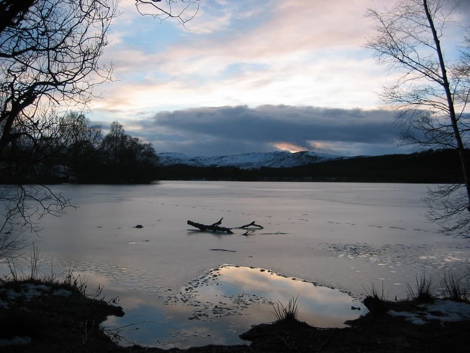 ModerateLoch Kinord Trail6.4 km · 2.5 hr · 3 km awayFour miles of loch shore, birch woodland and Pictish history.
 ModerateParkin’s Moss Trail3.2 km · 1.5 hr · 3 km awayA short loop takes you onto the raised bog by boardwalk.
 ModerateRiverside Walk, Ballater3.7 km · 1.5 hr · 4 km awayA short Dee-side loop with mountain views and one steep, uneven stretch.
 ModerateCraig Coillich and Pannanich Woods4.2 km · 1.8 hr · 4 km awayA steep woodland climb to a cairn above Ballater.
 Sight · 1.7 km awayCambus o’May Suspension BridgeCross the Dee on a white 1905 suspension bridgeSight · 2.6 km awayBurn O’VatA narrow crack opens into an 18-metre granite chamber with a waterfall.
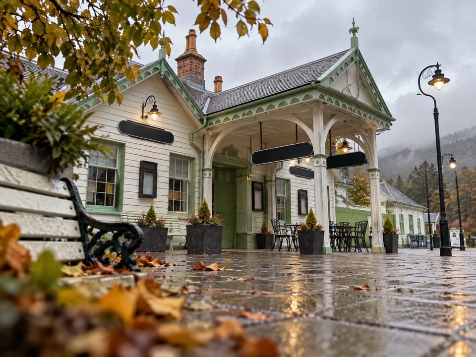 Sight · 4 km awayBallater Old Royal StationA replica royal carriage, station history and a café under one roof.
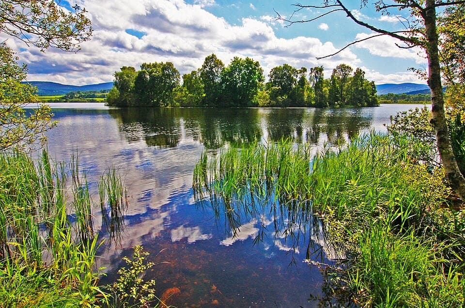 Sight · 4.2 km awayLoch KinordA lochside circuit links wooded islands and Pictish carving.
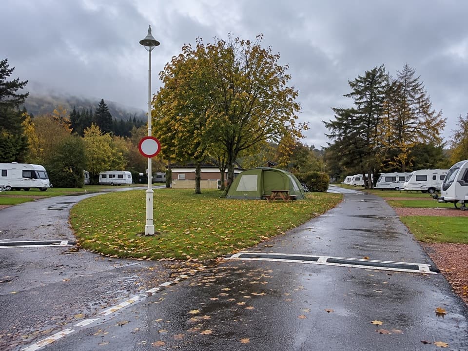 Campground · 4.4 km awayBallater Caravan ParkPitch beside the Dee, then walk into Ballater.
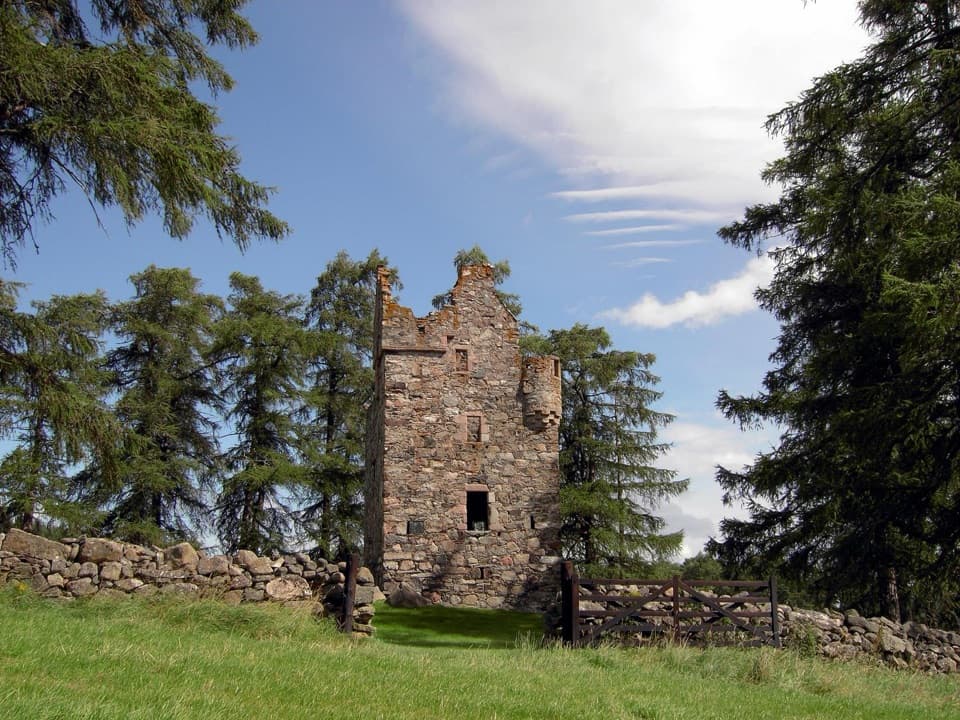 Sight · 5.9 km awayKnock CastleA roofless Gordon tower above Ballater, with a surviving spiral stair.
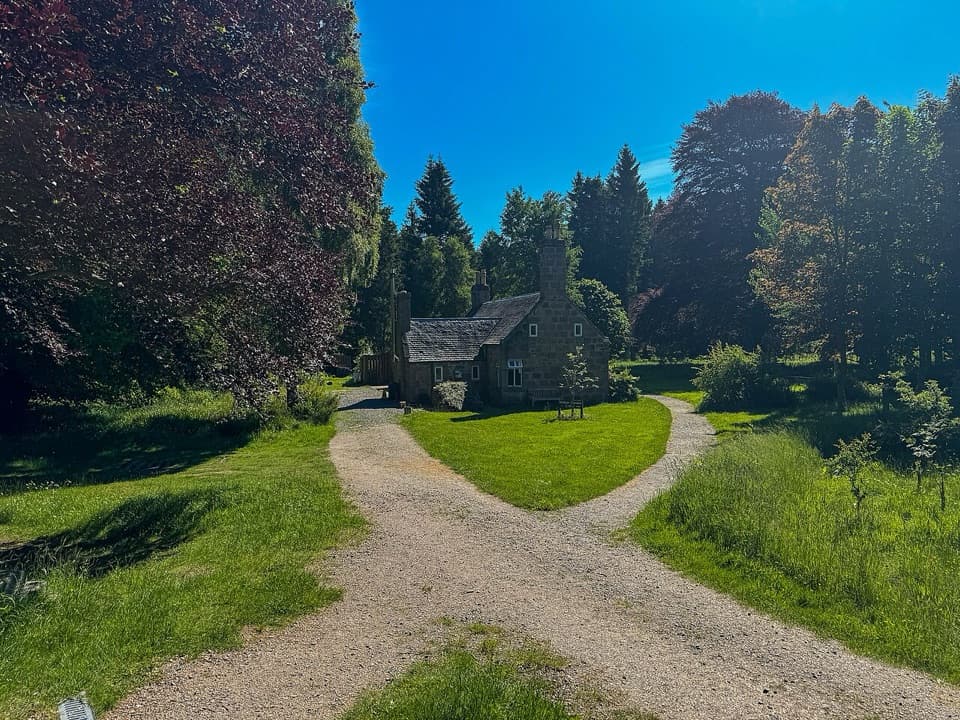 Visitor center · 7.8 km awayGlen Tanar Visitor CentreRanger advice and heritage displays make a useful start to glen walks.
 Sight · 11.2 km awayGairnshiel BridgeA humpback stone arch beside the modern A939 crossing.
Parkwolf’s Cairngorms ranking

The audio tour guide for the drive, plus offline maps, trails, and wildlife heatmaps for when the signal drops.





