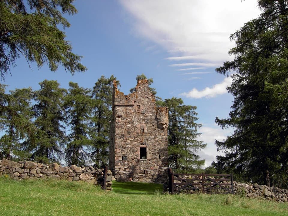
The Vat Trail in Cairngorms National Park

#11 of 260 trails in Cairngorms

Cairngorms National Park, SC

The Vat Trail

A short woodland loop to a granite bowl and a loch view.

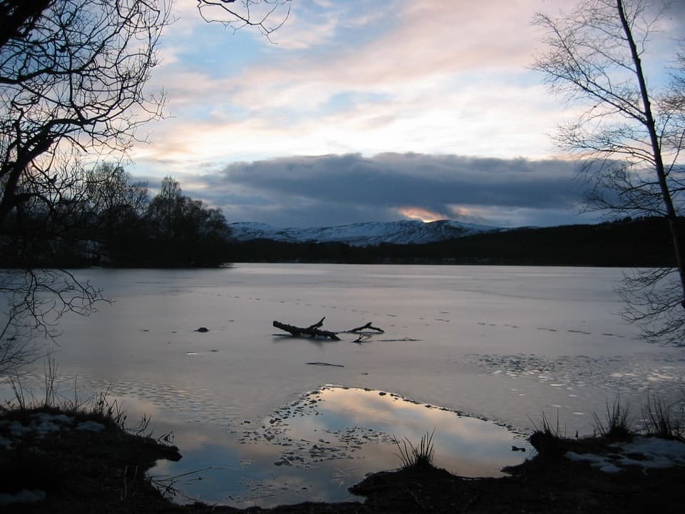
Photo: Wikimedia Commons
Length
1km
Time
45min
Elev. change
17m
Difficulty
Moderate
  • Loop
  • Dogs allowed
  • High point 205 m

Hear the audio tour

Burn O’Vat’s Hidden Chamber

Overview

About The Vat Trail

Why go

  • The granite bowl and loch viewpoint make a short outing feel varied.

Heads up

  • Slippery stepping stones and a steep, narrow return make the full loop strenuous.

Map & elevation

The route

Loading the Cairngorms map
Full map
Elevation188–205 m
TrailheadBurn o’ Vat Visitor Centre car park57.08486, -2.94324
Keep this map with you offline in the Parkwolf app

Plan your hike

Before you go

Parking

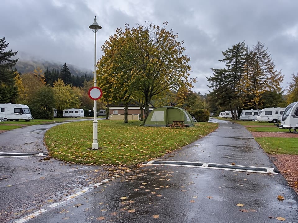
Use the Burn o’ Vat Visitor Centre car park, the start shown for the reserve trails. Dedicated accessible bays are available. The fee and capacity for ordinary day visits are not stated; check the signs at the car park. Clarack parking by Dinnet village is a separate access point.

Safety

The Vat entrance uses uneven stepping stones and boulders that can be slippery; high water may make the passage impossible. The full loop has steep, narrow sections and steps. Dogs are allowed, but from April through July keep them on a short lead or under close control to protect nesting birds.

3 active Cairngorms alerts

  • CautionStorm Boelo high windsStorm Boelo will bring extremely windy weather to the Cairngorms; take extra care and limit time outdoors. - The Park Authority expects the very windy weather to last until Monday 26 October.Official details
  • ClosureGlenmore wildfire closures and dangerous treesWildfire damage has closed Allt Mor car park and the path to Sugarbowl/Utsi’s Bridge; keep out of the closed area.Official details
See all 3 alerts
A park ranger sits on a dash-mounted phone, talking, as Parkwolf’s Tour Guide plays “Army Cutworm Moths: A Grizzly Bear Buffet” on Grand Loop Road below Dunraven Pass in Yellowstone
Parkwolf Tour GuideThe highest, rockiest slopes around here are a summer buffet for grizzly bears.

Cairngorms Tour Guide

Your drive to The Vat Trail, narrated.

Parkwolf is a GPS audio tour guide for Cairngorms National Park. As you drive, it chimes in with what’s ahead: hidden gems, upcoming stops, history, geology, and wildlife, right through your car’s speakers.

See the Cairngorms audio tour

Recorded for this trailhead

Burn O’Vat’s Hidden Chamber
0:00 / 0:33
“Burn O'Vat is coming up, where a narrow crack opens into a round granite chamber with a stream running through it.”

Plays as you drive up to this trailhead in the Parkwolf Cairngorms Tour Guide.

More stories near here in the app

  • Loch Kinord’s Built Island
  • The Cross by Loch Kinord
  • Cambus o’May Suspension Bridge
  • A River Left as a Ridge
  • 298 audio storiesacross Cairngorms’s roads, triggered by GPS as you drive
  • Wildlife heatmapsfor Red Deer, Reindeer, Osprey, and 13 more
  • Works offlinemaps, 260 trails, 90 places, and audio download before you lose signal
  • CarPlay readysimple controls built for the drive
★★★★★
“Fantastic app with many points of information… It’s great to just turn on while you’re driving and it gives you an audio tour of the national Park. We love it!!!!”
JMJamesApp Store review
Download Parkwolf on the App StoreGet Parkwolf on Google Play

4.7 from 8,600+ ratings

Trail guide

Hiking The Vat Trail

A short loop with a rough finishThe Vat Trail is a short loop from Burn o’ Vat Visitor Centre through woodland to the Vat and a…

The Vat Trail is a short loop from Burn o’ Vat Visitor Centre through woodland to the Vat and a viewpoint over the lochs. The mapped circuit is about 0.6 miles (1 km); plan around 45 minutes, plus time inside the Vat. The lower path is firm with one moderate slope near the start, but the full return has steep, narrow sections and steps. NatureScot grades the trail strenuous. For an easier walk, take the lower path to the Vat and retrace it instead of following the full loop to the viewpoint.

Entering the VatThe approach follows Vat Burn through trees, then narrows near the rock basin.

The approach follows Vat Burn through trees, then narrows near the rock basin. Uneven stepping stones lead through a tight gap into the Vat; they can be slippery, and high water can make the passage impossible. The bowl opens into a sandy, boulder-strewn floor enclosed by tall granite walls. A stream runs through it, with a small waterfall when the flow is high enough.

A bowl carved by meltwaterThe Vat is a giant granite pothole carved by glacial meltwater around 20,000 years ago.

The Vat is a giant granite pothole carved by glacial meltwater around 20,000 years ago. From inside, the walls rise around you, so include the boulder-filled streambed in a photo if the rocks are safe to cross. Take care at the narrow entrance and on the wet stones.

The upper returnThe full loop crosses a bridge and climbs through narrow woodland on steps and steep ground…

The full loop crosses a bridge and climbs through narrow woodland on steps and steep ground before opening at a viewpoint over the reserve lochs. It then descends to the visitor centre. This is the part that makes the full circuit a more demanding outing than the short distance suggests; the lower there-and-back option skips it.

Wildlife and facilitiesAcross the reserve, spring brings wood anemones and celandine, while dragonflies and…

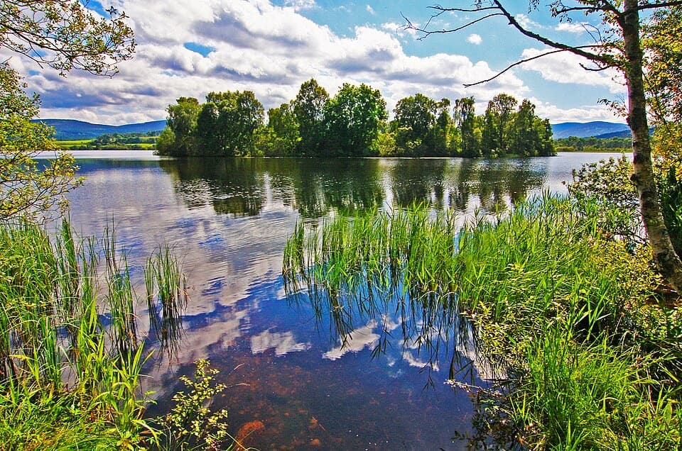
Across the reserve, spring brings wood anemones and celandine, while dragonflies and damselflies are active in summer. Ospreys sometimes feed on the lochs, and otters are an occasional winter possibility. The visitor-centre car park is the trailhead, with dedicated accessible bays. Toilets are open year-round, and two wheelchair-accessible picnic benches sit beside a surfaced track. Dogs are allowed, but from April through July keep them on a short lead or under close control while birds breed and raise young on the lochs.

Wildlife

Wildlife in Cairngorms

All Cairngorms wildlife maps

Sighting maps show where each species has been reported across Cairngorms. Wildlife moves, so no sighting is guaranteed.

Keep exploring

Near The Vat Trail

See it all on the map

Trails that start nearby

Places near the trailhead

Parkwolf’s Cairngorms ranking

Top-rated trails in Cairngorms

All 260 trails
  1. 1Loch an Eilein CircuitEasy · 5 km
  2. 2Lairig GhruChallenging · 30.6 km
  3. 3Ben Macdui and Cairn Gorm CircuitChallenging · 19.8 km
  4. 4Loch Morlich TrailModerate · 5.6 km
  5. 5Meall a’ Bhuachaille CircuitChallenging · 8 km
  6. 6Loch Muick CircuitModerate · 12.5 km

Take Parkwolf to Cairngorms.

The audio tour guide for the drive, plus offline maps, trails, and wildlife heatmaps for when the signal drops.

4.7 from 8,600+ ratings

Download Parkwolf on the App StoreGet Parkwolf on Google Play