Parking
Start at Syncline Trailhead at the end of Upheaval Dome Road. A restroom is available at the trailhead.

Canyonlands National Park, UT
A strenuous 9.2-mile out-and-back into Upheaval Dome's crater floor.
Overview
Map & elevation
Plan your hike

The highest, rockiest slopes around here are a summer buffet for grizzly bears.
Canyonlands Tour Guide
Parkwolf is a GPS audio tour guide for Canyonlands National Park. As you drive, it chimes in with what’s ahead: hidden gems, upcoming stops, history, geology, and wildlife, right through your car’s speakers.
See the Canyonlands audio tourRecorded for this trailhead
Upheaval Dome“You're coming up on the Upheaval Dome trailhead, for a short, steep hike to a basin of folded rock. Choose the first overlook for a six-tenths-of-a-mile round trip, allowing about an hour over uneven rock and steps.”
Plays as you drive up to this trailhead in the Parkwolf Canyonlands Tour Guide.
More stories near here in the app
“Fantastic app with many points of information… It’s great to just turn on while you’re driving and it gives you an audio tour of the national Park. We love it!!!!”


Trail guide
Upheaval Crater Trail is a rugged 9.2-mile out-and-back from Syncline Trailhead to the crater floor. It follows the southern Syncline route for about 3.3 miles before joining the crater spur; the endpoint is roughly 4.6 miles from the road. Turn back at the wooden trail-end sign and retrace your steps. Budget about 7–8 hours. This is a strenuous day; the short Upheaval Dome overlooks and the full Syncline Loop are different outings.
The first stretch crosses open red rock on single-track. Around 0.85 mile in, the trail drops steeply into Syncline Valley on loose switchbacks, then works through boulders and washes. There’s a dry waterfall crossing near mile 1.6; look for the small rock step and cairns on the far side. Cairns can be sparse, so bring a detailed map and be ready to navigate. The same steep grade becomes a long climb on the way back.
At about mile 3.1, take the branch toward Upheaval Canyon. Roughly 0.3 mile later, stay on the crater route at the next junction. Cairned steps and scrambling skirt another dry waterfall before the trail enters a broad sandy wash between two bent rock columns. Keep right where the wash divides to remain in the wider canyon.
The route ends at a wooden sign inside Upheaval Dome, about 4.6 miles from the trailhead. Here the rock layers are more contorted and shift from rusty red toward darker gray. The paired columns at the wash entrance frame the change in rock and make a useful on-route view. At the signed end, the folded geology fills the wash around you.
Upheaval Dome is roughly three miles across, with a central uplifted dome surrounded by downwarped rock layers. Geologists still debate how it formed. One explanation is a rising mass of ancient salt; the other is a meteorite impact about 60 million years ago. Recent research supports the impact theory, but the story is not settled. From the wash, the folded layers close in around the route, making the deformation easy to read.
Start at Syncline Trailhead at the end of Upheaval Dome Road; there’s a restroom at the trailhead, but no potable water along the hiking trails. The park recommends at least 1 liter of water per person per hour and does not recommend the Syncline route during peak summer heat. Pets aren’t allowed on hiking trails. The loose descent, sparse markers and long return climb make this a poor choice if you want an easy crater viewpoint.
Wildlife
 48 sightingsBighorn SheepMost seen around 7 AMSighting map
 47 sightingsMule DeerMost seen around 7 AMSighting map
 12 sightingsCoyoteMost seen around 7 PMSighting map
 30 sightingsWestern RattlesnakeMost seen around 7 PMSighting map
 18 sightingsTurkey VultureMost seen around 11 AMSighting map
 18 sightingsWild TurkeyMost seen around 7 AMSighting map
Sighting maps show where each species has been reported across Canyonlands. Wildlife moves, so no sighting is guaranteed.
Keep exploring
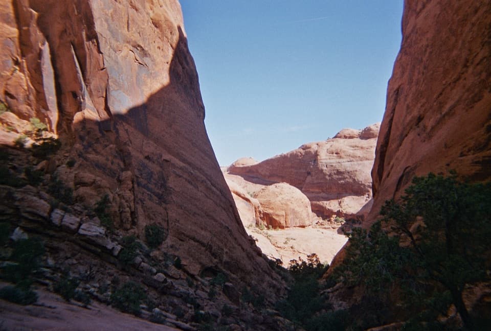 ChallengingSyncline Loop Trail8.1 mi · 6 hr · At the trailheadA demanding loop of steep descents, sand and boulder scrambles.
 ModerateUpheaval Dome Overlooks Trail1.2 mi · 1.5 hr · 0.1 mi awayA short, steep climb to colorful folded rock and canyon views.
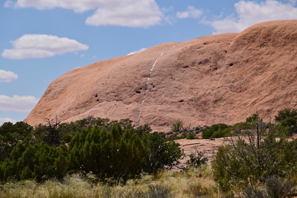 ModerateWhale Rock Trail0.8 mi · 1 hr · 0.6 mi awayA short slickrock scramble to broad Island in the Sky views.
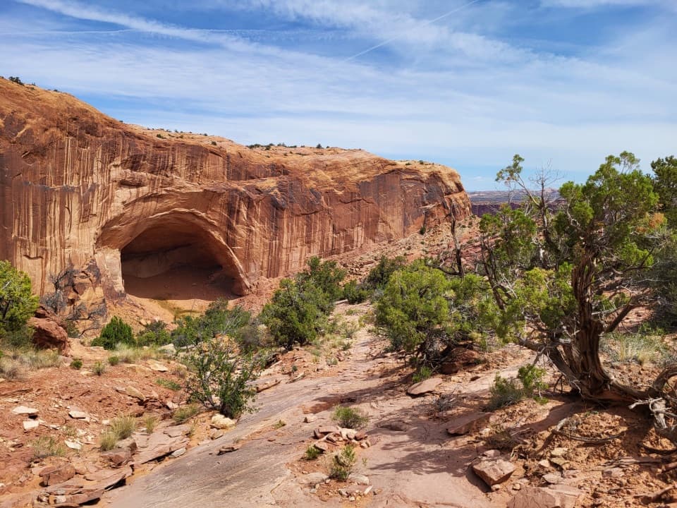 ChallengingAlcove Spring Trail11.2 mi · 6.5 hr · 0.9 mi awayFull-day canyon descent to Alcove Spring and Moses and Zeus towers.
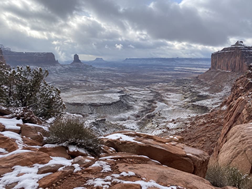 ModerateFalse Kiva Trail1.9 mi · 1.8 hr · 1 mi awayA rough, cairned descent to wide views over Holeman Canyon.
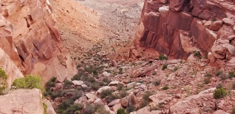 ChallengingWilhite Trail11.4 mi · 7 hr · 2.2 mi awayStrenuous 11.4-mile out-and-back to White Rim Road through Holeman Basin.
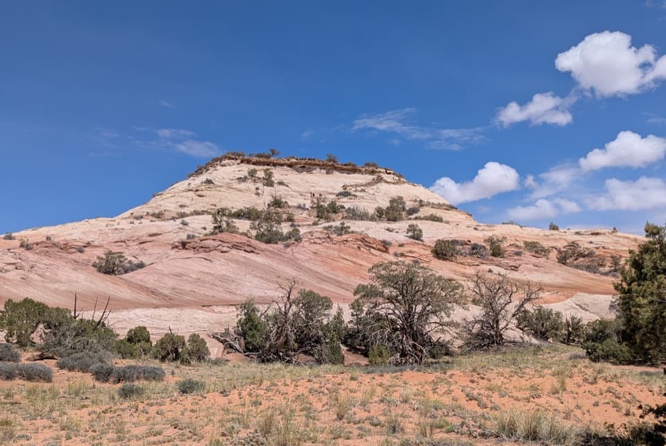 ModerateAztec Butte Trail1.4 mi · 1.8 hr · 3.3 mi awayTwo slickrock scrambles: one for canyon views, one for granaries.
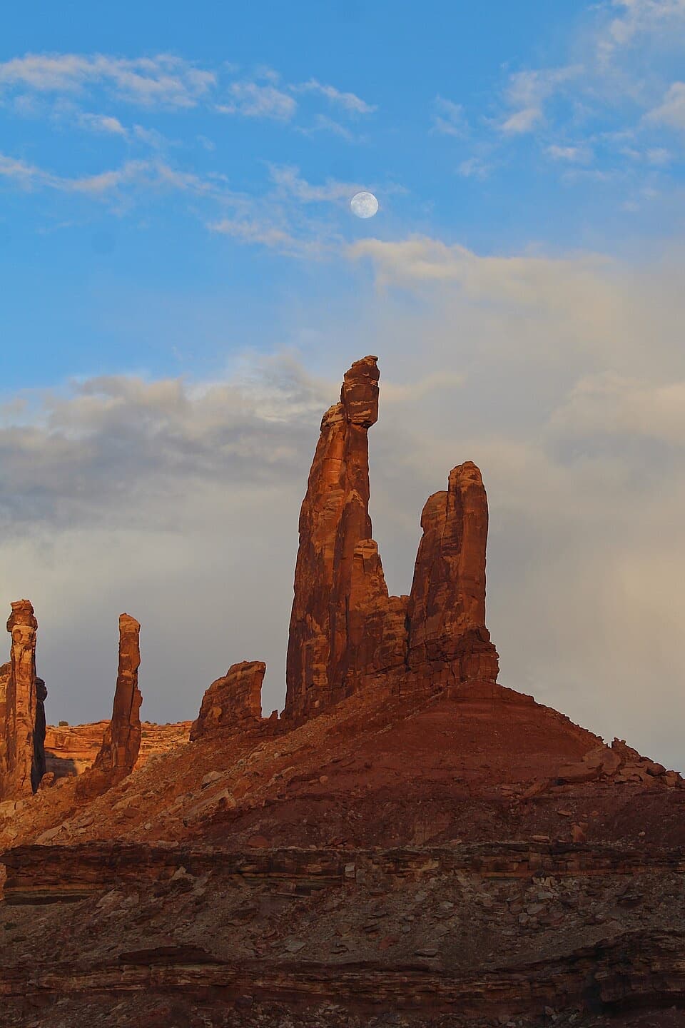 ModerateMoses and Zeus Trail1.3 mi · 1.5 hr · 3.4 mi awayTwo sandstone towers reward a short, rough hike into Taylor Canyon.
 Sight · 0.2 mi awayUpheaval DomeA three-mile-wide geologic mystery, seen from two steep overlooks.Sight · 0.5 mi awayWhale RockWhale-shaped slickrock, a short scramble, and a wide-open top.
 Sight · 3.3 mi awayAztec Butte GranariesTwo 900-year-old granaries tucked beneath a protective rock overhang.Sight · 3.5 mi awayMoses and Zeus TowersTwo desert towers make a memorable detour for backcountry explorers.
 Campground · 3.6 mi awayWillow Flat CampgroundA quiet, no-frills base near Green River Overlook and dark skies.
 Sight · 3.9 mi awayGreen River OverlookSee the Green River as a thin line 1,300 feet below.
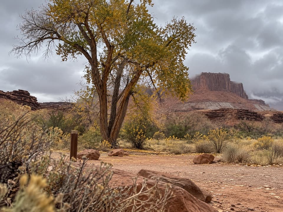 Campground · 4.3 mi awayPotato Bottom Camping AreaA remote overnight for a long, demanding White Rim trip.
 Sight · 4.3 mi awayMesa ArchFamous for sunrise glow; the canyon view is worth a later stop.
Parkwolf’s Canyonlands ranking

The audio tour guide for the drive, plus offline maps, trails, and wildlife heatmaps for when the signal drops.




