Parking
Park at the Upheaval Dome trailhead parking area. The restroom and picnic area are at the trailhead.

#8 of 63 trails in Canyonlands
Canyonlands National Park, UT
A short, steep climb to colorful folded rock and canyon views.
Overview
Map & elevation
Plan your hike

The highest, rockiest slopes around here are a summer buffet for grizzly bears.
Canyonlands Tour Guide
Parkwolf is a GPS audio tour guide for Canyonlands National Park. As you drive, it chimes in with what’s ahead: hidden gems, upcoming stops, history, geology, and wildlife, right through your car’s speakers.
See the Canyonlands audio tourRecorded for this trailhead
Upheaval Dome“You're coming up on the Upheaval Dome trailhead, for a short, steep hike to a basin of folded rock. Choose the first overlook for a six-tenths-of-a-mile round trip, allowing about an hour over uneven rock and steps.”
Plays as you drive up to this trailhead in the Parkwolf Canyonlands Tour Guide.
More stories near here in the app
“Fantastic app with many points of information… It’s great to just turn on while you’re driving and it gives you an audio tour of the national Park. We love it!!!!”


Trail guide
Upheaval Dome Overlooks is a 1.2-mile out-and-back from the Upheaval Dome trailhead to the second overlook and back. The first overlook comes after a short, steep climb; continue on the cairned route for a second view of the dome and Upheaval Canyon. Plan on about 1.5 hours for the full walk. The first overlook is a good 0.6-mile round-trip option if you have less time or would rather skip the rougher second leg; it still gives you a clear view into the folded basin and the geology exhibits there.
Within minutes of leaving the parking area, the trail crosses the very challenging Syncline Trail. That is a separate loop around Upheaval Dome, not the route to these overlooks. Follow the Upheaval Dome Overlooks route at the crossing. The first overlook is the natural place to turn around; if you keep going, follow the cairns toward the second. Leave cairns in place rather than moving or adding them.
At the first overlook, the basin opens below in red, cream, and gray folds. The second overlook takes you farther over uneven ground, up and down a rocky hill and stone steps, and adds Upheaval Canyon to the view. The dome is the main draw on both legs, but the second viewpoint gives you another angle and a broader look at the surrounding canyon country. If the rough footing sounds like more than you want, the first overlook delivers the shorter version without committing to the full route.
Upheaval Dome spans about three miles across. In the center, rock has been pushed upward into an anticline, or dome, and the surrounding layers bend down into a syncline. The exposed formations are out of their usual order: older Organ Rock Shale, White Rim Sandstone, and Moenkopi rocks are jumbled in the core, while younger Chinle, Wingate, Kayenta, and Navajo layers sit farther out. Once you spot the folded bands, the view reads less like a colorful basin and more like a cutaway of rock that was buried deep below the surface.
Geologists still debate how it formed. One explanation is salt moving upward beneath the rock; the other is a meteorite impact roughly 60 million years ago. Current evidence favors the impact idea, though questions remain. The National Park Service estimates that the meteorite may have been about one-third of a mile across. Erosion has since exposed rocks that once lay thousands of feet underground, which is why the two viewpoints show such a dramatic jumble.
The park rates both overlook walks moderate. The first climb is short but steep; the continuation is rough and uneven, with a rocky hill and stone steps. The second route is not wheelchair accessible. There is no potable water on the hiking trails; the Island in the Sky Visitor Center sells water. A restroom and picnic area are at the trailhead. Dogs are not allowed on the trail, though service animals are. Winter snow or ice can affect the rocky sections, and the park recommends traction devices in those conditions.
At the first overlook, keep the colored layers and central dome together in the frame so the folds read as one landform. From the second, include Upheaval Canyon with the dome for a wider view of the setting.
Wildlife
 48 sightingsBighorn SheepMost seen around 7 AMSighting map
 47 sightingsMule DeerMost seen around 7 AMSighting map
 12 sightingsCoyoteMost seen around 7 PMSighting map
 30 sightingsWestern RattlesnakeMost seen around 7 PMSighting map
 18 sightingsTurkey VultureMost seen around 11 AMSighting map
 18 sightingsWild TurkeyMost seen around 7 AMSighting map
Sighting maps show where each species has been reported across Canyonlands. Wildlife moves, so no sighting is guaranteed.
Keep exploring
 ChallengingUpheaval Crater Trail9.2 mi · 7.5 hr · 0.1 mi awayA strenuous 9.2-mile out-and-back into Upheaval Dome's crater floor.
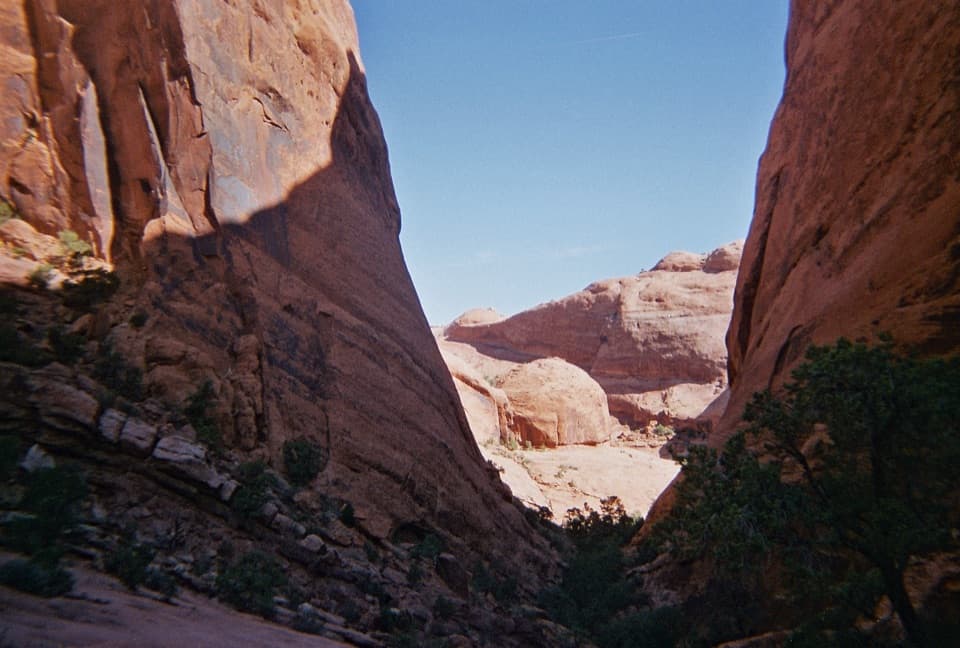 ChallengingSyncline Loop Trail8.1 mi · 6 hr · 0.1 mi awayA demanding loop of steep descents, sand and boulder scrambles.
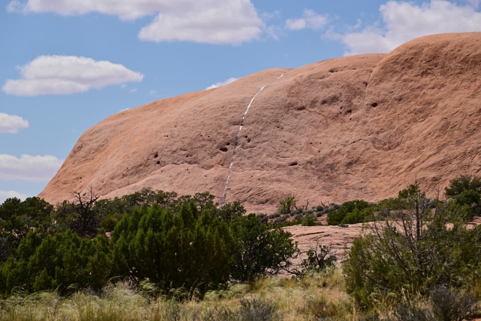 ModerateWhale Rock Trail0.8 mi · 1 hr · 0.7 mi awayA short slickrock scramble to broad Island in the Sky views.
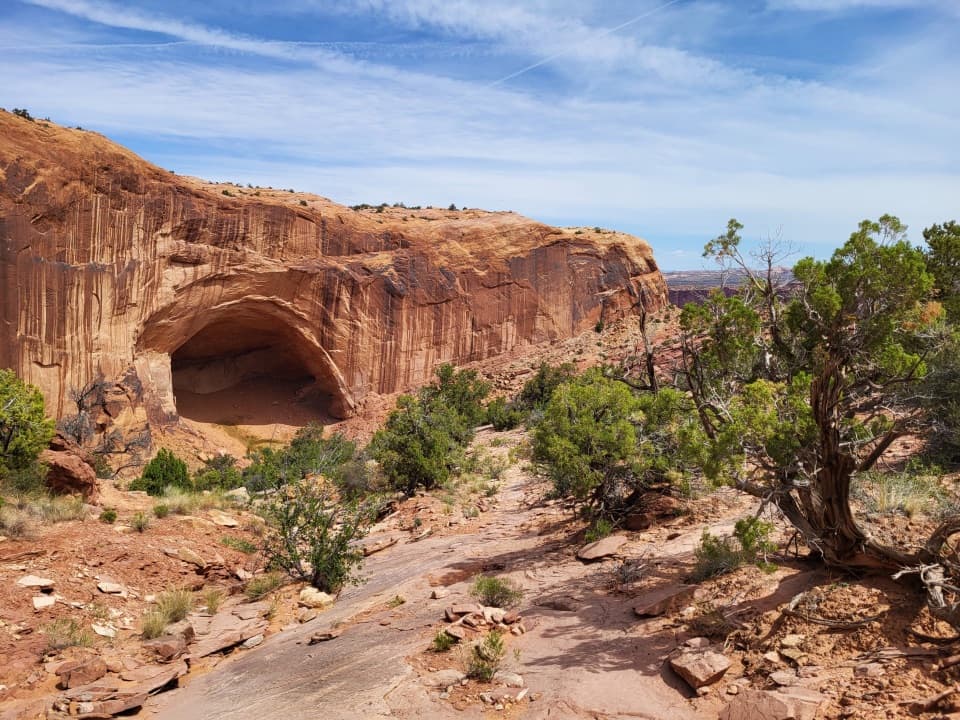 ChallengingAlcove Spring Trail11.2 mi · 6.5 hr · 1 mi awayFull-day canyon descent to Alcove Spring and Moses and Zeus towers.
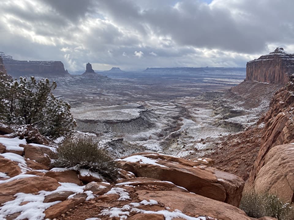 ModerateFalse Kiva Trail1.9 mi · 1.8 hr · 1 mi awayA rough, cairned descent to wide views over Holeman Canyon.
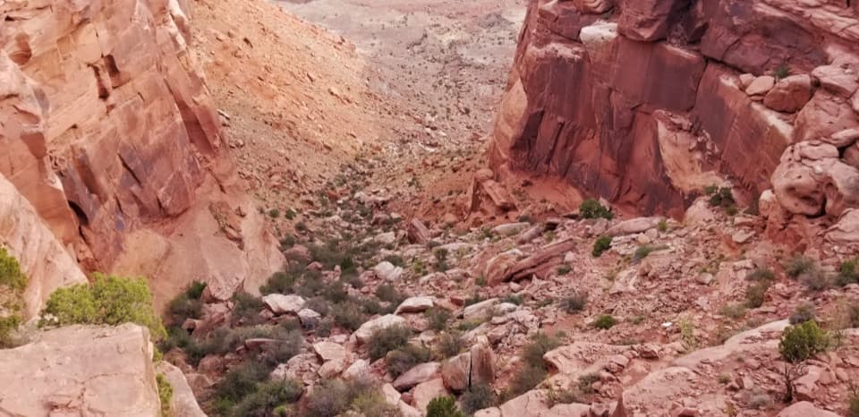 ChallengingWilhite Trail11.4 mi · 7 hr · 2.2 mi awayStrenuous 11.4-mile out-and-back to White Rim Road through Holeman Basin.
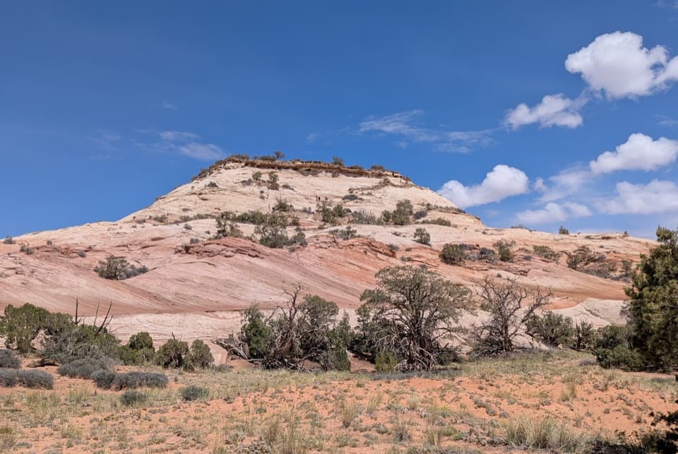 ModerateAztec Butte Trail1.4 mi · 1.8 hr · 3.3 mi awayTwo slickrock scrambles: one for canyon views, one for granaries.
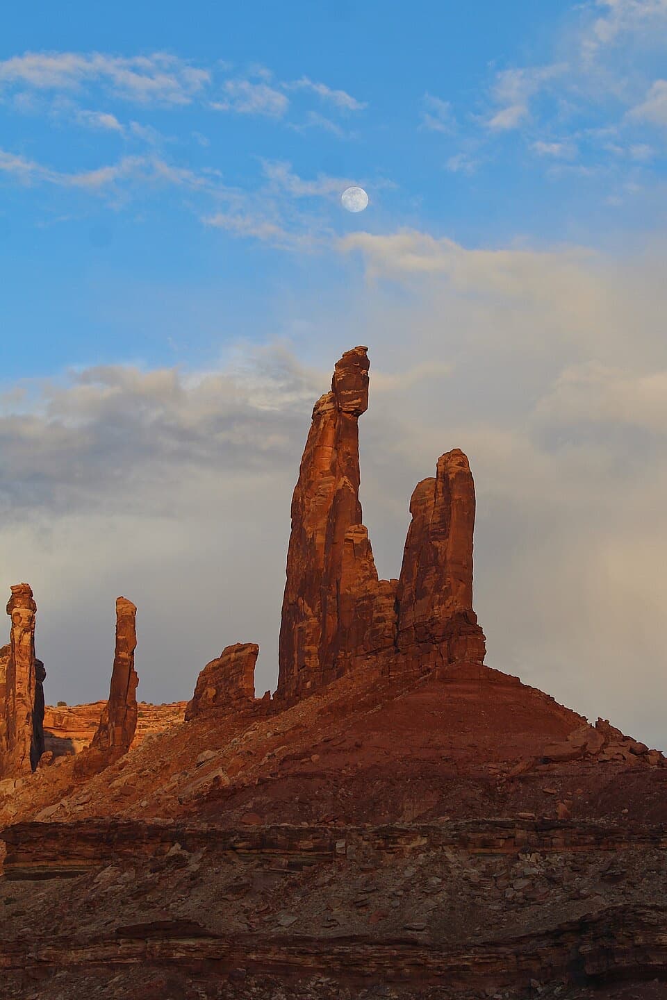 ModerateMoses and Zeus Trail1.3 mi · 1.5 hr · 3.5 mi awayTwo sandstone towers reward a short, rough hike into Taylor Canyon.
 Sight · 0.3 mi awayUpheaval DomeA three-mile-wide geologic mystery, seen from two steep overlooks.Sight · 0.5 mi awayWhale RockWhale-shaped slickrock, a short scramble, and a wide-open top.
 Sight · 3.3 mi awayAztec Butte GranariesTwo 900-year-old granaries tucked beneath a protective rock overhang.Sight · 3.5 mi awayMoses and Zeus TowersTwo desert towers make a memorable detour for backcountry explorers.
 Campground · 3.6 mi awayWillow Flat CampgroundA quiet, no-frills base near Green River Overlook and dark skies.
 Sight · 3.9 mi awayGreen River OverlookSee the Green River as a thin line 1,300 feet below.
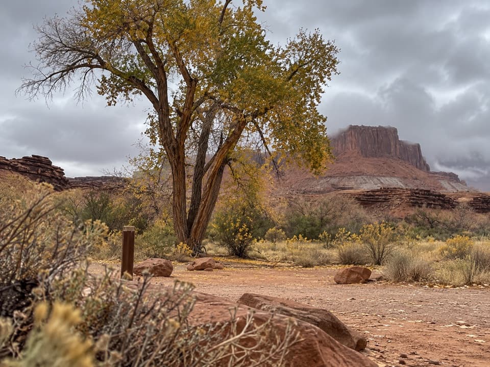 Campground · 4.2 mi awayPotato Bottom Camping AreaA remote overnight for a long, demanding White Rim trip.
 Sight · 4.3 mi awayMesa ArchFamous for sunrise glow; the canyon view is worth a later stop.
Parkwolf’s Canyonlands ranking

The audio tour guide for the drive, plus offline maps, trails, and wildlife heatmaps for when the signal drops.




