Fins Trail through Ernie’s Country in Canyonlands National Park

Canyonlands National Park, UT

Fins Trail through Ernie’s Country

A remote cairned crossing through fins, sandy flats and narrow canyons.

Length
8.1mi
Time
8hr
Elev. change
413ft
Difficulty
Challenging
  • No dogs
  • High point 5,335 ft
Parkwolf audio tour43 stories across Canyonlands’s roads

Overview

About Fins Trail through Ernie’s Country

Why go

  • One crossing links Main Flat, Sweet Alice Canyon, the Fins and The Chute.
  • The route moves from broad sandy washes into narrow slickrock country.

Heads up

  • Cairns and tread are intermittent, with junctions that are easy to miss.
  • Remote 4WD access and separate trailheads make logistics demanding.

Map & elevation

The route

Loading the Canyonlands map
Full map
Elevation4,921–5,335 ft
TrailheadErnie’s Country East Trailhead near the Dollhouse38.15073, -109.95107
Keep this map with you offline in the Parkwolf app

Plan your hike

Before you go

Parking

The unmarked Ernie’s Country East Trailhead is near the Doll House campsites on a designated Maze four-wheel-drive road. The route ends at the unmarked Fins Trailhead near Mother and Child; arrange a shuttle or include it in a longer backcountry itinerary. Confirm current road conditions with the park.

Safety

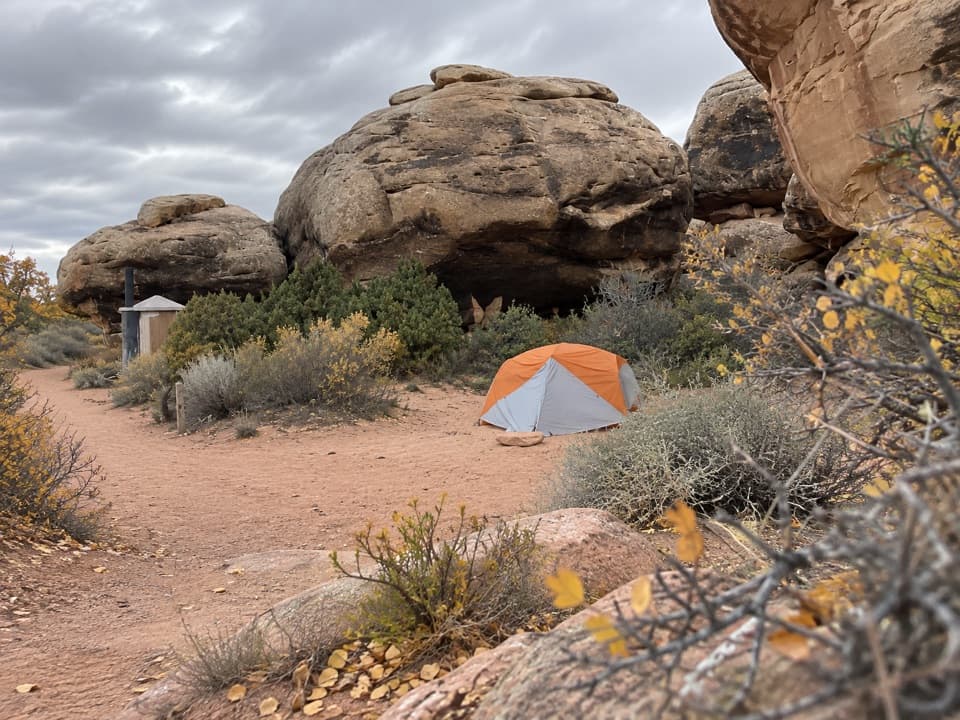
Intermittent tread, missed cairns, loose sand, steep slickrock and a narrow gully demand strong navigation and scrambling experience. Long open stretches have little shade. The Maze has no food, fuel or potable water; do not rely on springs without checking first and treating water. Overnight trips require a backcountry permit; pets are prohibited.

2 active Canyonlands alerts

  • ClosureRain-damaged Needles backcountry roads impassableRecent rains have made several Needles backcountry roads impassable; do not drive these routes.Official details
  • CautionMaze access roads require high-clearance 4WDOnly use high-clearance 4WD to reach Hans Flat or Horseshoe Canyon in The Maze; low-clearance vehicles are not recommended on these damaged, rutted, muddy routes.Official details
Canyonlands alerts
A park ranger sits on a dash-mounted phone, talking, as Parkwolf’s Tour Guide plays “Army Cutworm Moths: A Grizzly Bear Buffet” on Grand Loop Road below Dunraven Pass in Yellowstone
Parkwolf Tour GuideThe highest, rockiest slopes around here are a summer buffet for grizzly bears.

Canyonlands Tour Guide

Your drive to Fins Trail through Ernie’s Country, narrated.

Parkwolf is a GPS audio tour guide for Canyonlands National Park. As you drive, it chimes in with what’s ahead: hidden gems, upcoming stops, history, geology, and wildlife, right through your car’s speakers.

See the Canyonlands audio tour
  • 43 audio storiesacross Canyonlands’s roads, triggered by GPS as you drive
  • Wildlife heatmapsfor Bighorn Sheep, Mule Deer, Coyote, and 13 more
  • Works offlinemaps, 63 trails, 65 places, and audio download before you lose signal
  • CarPlay readysimple controls built for the drive
★★★★★
“Fantastic app with many points of information… It’s great to just turn on while you’re driving and it gives you an audio tour of the national Park. We love it!!!!”
JMJamesApp Store review
Download Parkwolf on the App StoreGet Parkwolf on Google Play

4.7 from 8,600+ ratings

Trail guide

Hiking Fins Trail through Ernie’s Country

The crossingThe Fins Trail through Ernie’s Country is an 8.

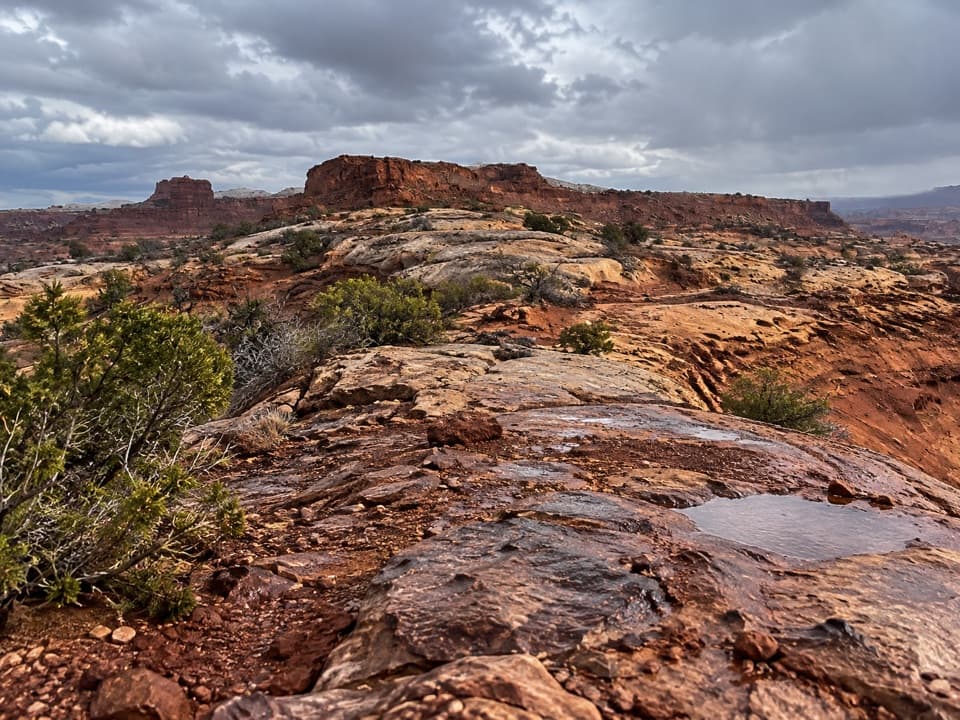
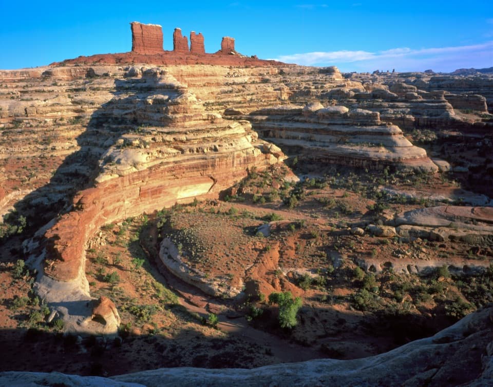
The Fins Trail through Ernie’s Country is an 8.1-mile one-way crossing from the Ernie’s Country East Trailhead near the Dollhouse to the Fins Trailhead by Mother and Child. It descends through boulders into Main Flat, follows sandy washes into Sweet Alice Canyon and Sand Tank Canyon, climbs through The Chute, then drops into Range Canyon before climbing out. The tread is intermittent and the route is marked mainly by cairns. This is a serious Maze backcountry route, not a signed day trail. Allow a full day on trail; hikers often fold it into an overnight or longer Maze itinerary. Arrange a through-hike shuttle or plan a larger backcountry route. Carry a detailed map: GPS units can mislead visitors in The Maze.

Main Flat and the FinsThe first 0.

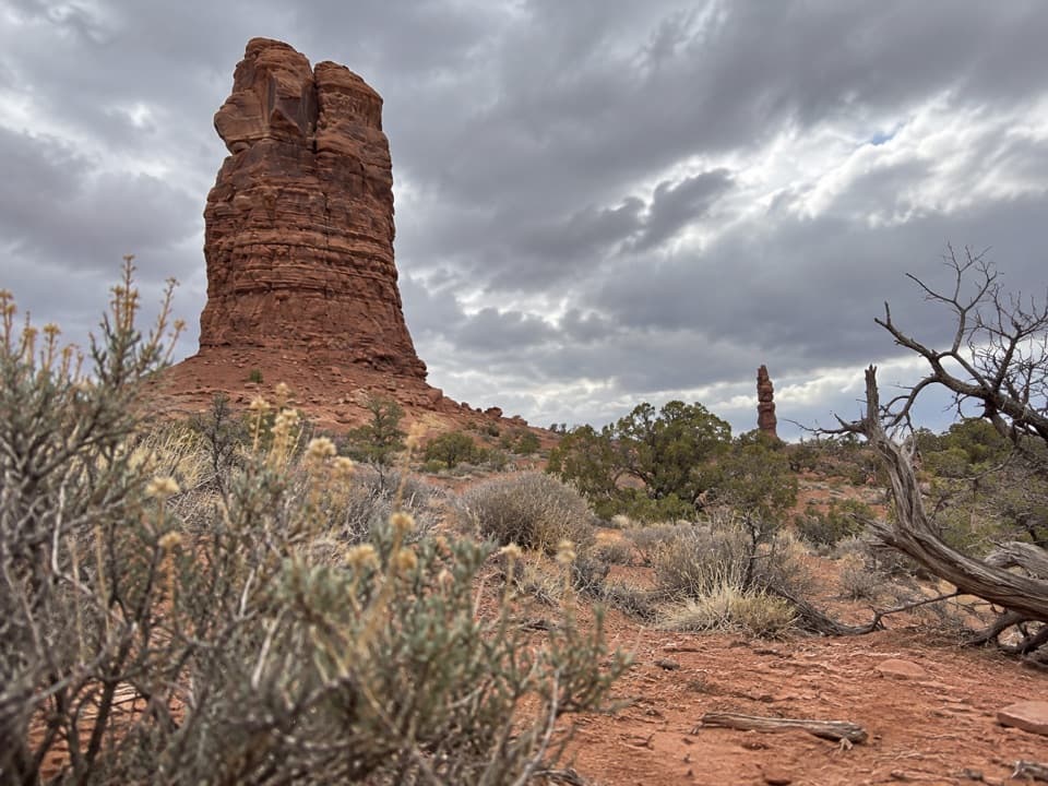
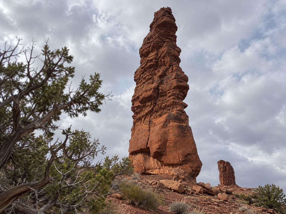
The first 0.1 mile winds down through boulders and drops about 80 feet onto Main Flat, a broad sage-covered plain roughly three miles long and a mile wide. The route uses sandy washes along the north side; about 1.5 miles of loose sand can make this stretch slow. After about 3.3 miles, it passes the end of a rocky wall; 0.4 mile later, a cairned turn leads into Sweet Alice Canyon. Tall sandstone fins rise north of the canyon. Frame one fin with the wash in front to show the scale of the landscape.

Sweet Alice and The ChuteSweet Alice Canyon continues for about 1.6 miles before the route turns into Sand Tank Canyon.

Sweet Alice Canyon continues for about 1.6 miles before the route turns into Sand Tank Canyon. Follow the cairns at both junctions: missing the Sand Tank turn can send hikers south toward the Colorado River. The path leaves the sandy washes and climbs about 240 feet over 0.9 mile through The Chute, a fault passage that narrows to roughly 18 inches before opening into a small canyon.

Range Canyon and the west endBeyond The Chute, the route drops toward the East Fork of Range Canyon, climbs a high point,…

Beyond The Chute, the route drops toward the East Fork of Range Canyon, climbs a high point, then descends about 150 feet through a steep, narrow gully. It follows a tributary wash and finishes with a roughly 0.8-mile, 320-foot slickrock climb to the Fins Trailhead. This end has the route’s more strenuous scrambling. In the opposite direction, the exit cairn out of broad Sweet Alice Canyon is easy to miss.

Water, access and permitsLou’s Spring is reached by a short spur near the west end, not by following the through-route…

Lou’s Spring is reached by a short spur near the west end, not by following the through-route itself. Its flow has varied; ask the Hans Flat Ranger Station before relying on it and treat any collected water. There is no food, fuel or potable water in The Maze, and long open stretches have little shade. Plan for cooler seasons where possible and verify water before leaving. The remote approach uses difficult four-wheel-drive roads, and the two trailheads need separate logistics. Overnight backcountry trips require a permit, and pets are prohibited in the park backcountry. A shorter 2.3-mile round trip from the Fins access to Lou’s Spring and the optional Cedar Bark Ruin spur is a separate outing, not the distance mapped here.

A grazing landscapeMain Flat was used as pasture by the Chaffin family until 1944.

Main Flat was used as pasture by the Chaffin family until 1944. Lou’s and Clell’s springs were named for Chaffin family members and developed in the 1930s. The open, sandy plain and the narrow slickrock canyons make this crossing feel like several different walks stitched together.

Wildlife

Wildlife in Canyonlands

All Canyonlands wildlife maps

Sighting maps show where each species has been reported across Canyonlands. Wildlife moves, so no sighting is guaranteed.

Keep exploring

Near Fins Trail through Ernie’s Country

See it all on the map

Trails that start nearby

Places near the trailhead

Parkwolf’s Canyonlands ranking

Top-rated trails in Canyonlands

All 63 trails
  1. 1Mesa Arch TrailEasy · 0.6 mi
  2. 2Chesler Park Loop and Joint TrailChallenging · 10.7 mi
  3. 3Druid Arch TrailChallenging · 10.8 mi
  4. 4Grand View Point TrailEasy · 1.8 mi
  5. 5Horseshoe Canyon Trail to the Great GalleryChallenging · 7 mi
  6. 6White Rim Overlook TrailEasy · 1.8 mi

Take Parkwolf to Canyonlands.

The audio tour guide for the drive, plus offline maps, trails, and wildlife heatmaps for when the signal drops.

4.7 from 8,600+ ratings

Download Parkwolf on the App StoreGet Parkwolf on Google Play