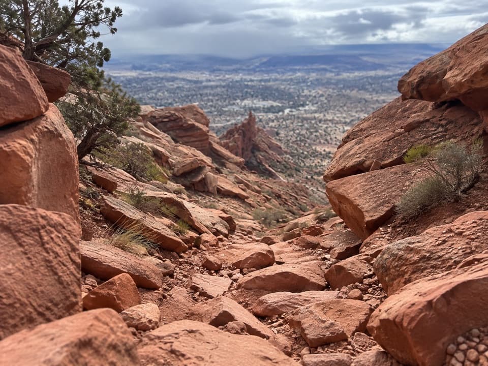
Golden Stairs Trail in Canyonlands National Park

Canyonlands National Park, UT

Golden Stairs Trail

A historic livestock trail down exposed sandstone into the Maze.

Length
4mi
Time
4.5hr
Elev. change
801ft
Difficulty
Challenging
  • No dogs
  • High point 6,060 ft
Parkwolf audio tour43 stories across Canyonlands’s roads

Overview

About Golden Stairs Trail

Why go

  • Cairned traverse across the narrow, pale China Neck
  • Open views into Ernie’s Country and down the Golden Stairs cliff

Heads up

  • Exposed drops and route finding on minimally maintained rock
  • A steep return in a remote area without water or services

Map & elevation

The route

Loading the Canyonlands map
Full map
Elevation5,259–6,060 ft
TrailheadGolden Stairs campsite trailhead38.14390, -110.08304
Keep this map with you offline in the Parkwolf app

Plan your hike

Before you go

Parking

The trailhead is beside Golden Stairs campsite, along the access road. All Maze roads require high-clearance four-wheel drive with low range. A 2024 trip report parked at the overlook about half a mile before camp, adding about a mile round trip. Check current road conditions before driving in.

Safety

This is a remote route on steep, exposed rock with cairn-based navigation; Maze trails are unmarked and minimally maintained. Expect a strenuous climb back from Dollhouse Road and do not count on finding water or services. Reaching the trailhead requires a high-clearance four-wheel-drive vehicle with low range. Pets are prohibited; overnight backcountry trips require a permit.

2 active Canyonlands alerts

  • ClosureRain-damaged Needles backcountry roads impassableRecent rains have made several Needles backcountry roads impassable; do not drive these routes.Official details
  • CautionMaze access roads require high-clearance 4WDOnly use high-clearance 4WD to reach Hans Flat or Horseshoe Canyon in The Maze; low-clearance vehicles are not recommended on these damaged, rutted, muddy routes.Official details
Canyonlands alerts
A park ranger sits on a dash-mounted phone, talking, as Parkwolf’s Tour Guide plays “Army Cutworm Moths: A Grizzly Bear Buffet” on Grand Loop Road below Dunraven Pass in Yellowstone
Parkwolf Tour GuideThe highest, rockiest slopes around here are a summer buffet for grizzly bears.

Canyonlands Tour Guide

Your drive to Golden Stairs Trail, narrated.

Parkwolf is a GPS audio tour guide for Canyonlands National Park. As you drive, it chimes in with what’s ahead: hidden gems, upcoming stops, history, geology, and wildlife, right through your car’s speakers.

See the Canyonlands audio tour
  • 43 audio storiesacross Canyonlands’s roads, triggered by GPS as you drive
  • Wildlife heatmapsfor Bighorn Sheep, Mule Deer, Coyote, and 13 more
  • Works offlinemaps, 63 trails, 65 places, and audio download before you lose signal
  • CarPlay readysimple controls built for the drive
★★★★★
“Fantastic app with many points of information… It’s great to just turn on while you’re driving and it gives you an audio tour of the national Park. We love it!!!!”
JMJamesApp Store review
Download Parkwolf on the App StoreGet Parkwolf on Google Play

4.7 from 8,600+ ratings

Trail guide

Hiking Golden Stairs Trail

Is this the hike you want?Golden Stairs Trail is a cairned out-and-back from its campsite trailhead to Dollhouse Road,…

Golden Stairs Trail is a cairned out-and-back from its campsite trailhead to Dollhouse Road, crossing China Neck before dropping into Ernie’s Country. The mapped path is about 2 miles each way, or roughly 4 miles round trip; a recorded track puts the same camp-to-road walk closer to 5. Treat the distance as approximate, and allow another mile if you start from the overlook half a mile before camp. Set aside about 4–5 hours for a hard, exposed walk. Choose it for a memorable foot route into the Maze and big open views; skip it if heights or route-finding on cairned rock will make the day miserable.

Across China NeckThe first stretch can be tricky to follow.

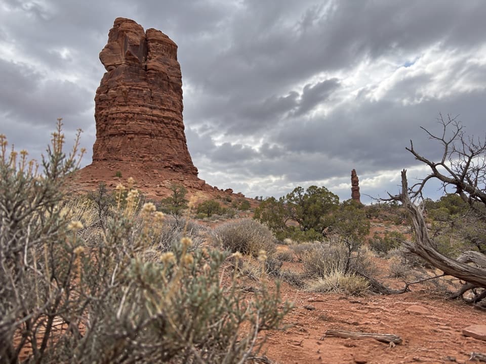
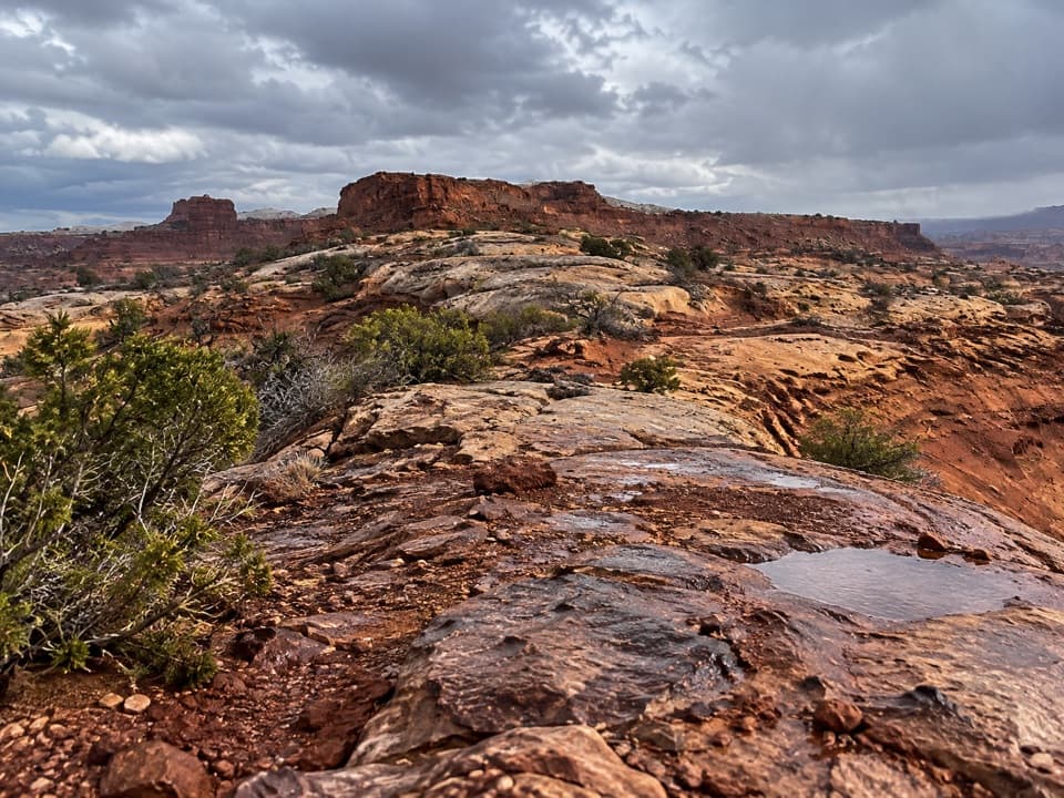
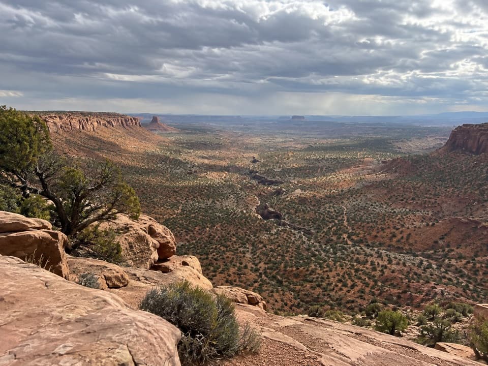
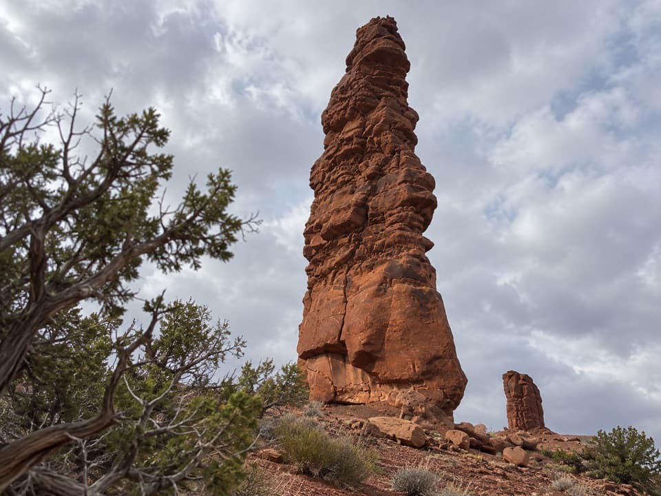
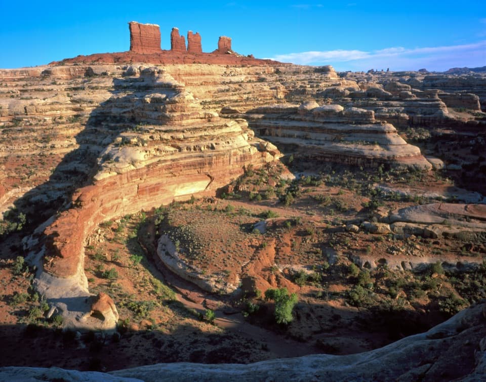
The first stretch can be tricky to follow. It reaches China Neck, a narrow white-rock causeway about six feet wide, with steep drops on both sides. Take your time here. Beyond the neck, cairns lead across an open mesa shelf with views into Ernie’s Country. About 0.7 mile from camp, the route turns right and drops over the cliff.

Down the Golden StairsThe path loses about 800 feet between camp and Dollhouse Road.

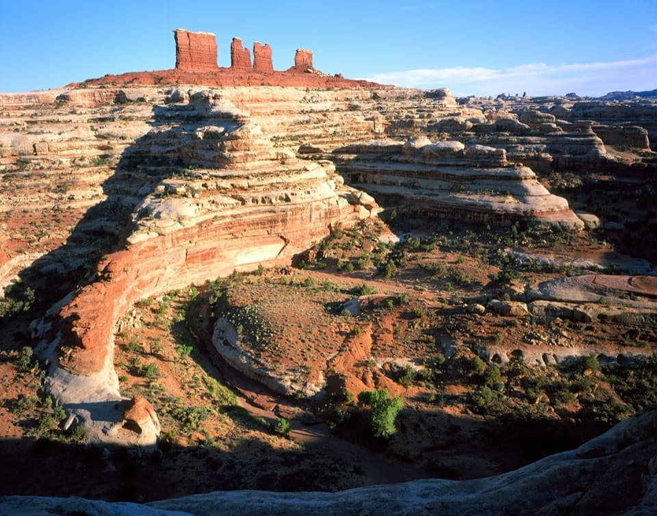
The path loses about 800 feet between camp and Dollhouse Road. The descent is steep, exposed and rocky, with sections cut into the cliff and stretches that call for scrambling. There is no continuous built trail to follow; cairns mark the line. If you lose them, backtrack to the last one rather than choosing a route across the slickrock. At the bottom, the trail reaches a wash and follows it to Dollhouse Road. Turn around there: the way back is the same route, with the full climb to camp. From a steady spot on the descent, look out toward the Mother and Child Formation, the Fins and the Needles.

A working trail through the MazeRanchers built the route around 1900 to move livestock between Ernie’s Country and Elaterite…

Ranchers built the route around 1900 to move livestock between Ernie’s Country and Elaterite Basin. China Neck takes its name from the pale rock’s porcelain-like look; the Golden Stairs are the gold-colored cliff face, which can look like a broken staircase in afternoon light.

Getting to the trailheadThe footpath starts beside Golden Stairs campsite in the Orange Cliffs Unit of Glen Canyon…

The footpath starts beside Golden Stairs campsite in the Orange Cliffs Unit of Glen Canyon National Recreation Area, outside Canyonlands National Park’s boundary but part of the Maze gateway. Reaching the camp is a serious backcountry drive: the National Park Service requires high-clearance four-wheel drive with low range on Maze roads and lists about 1.5 hours from Hans Flat. A 2024 trip report parked at the overlook about half a mile before camp, adding roughly a mile to the round trip. There is no food, fuel or potable water in the Maze. Pets are prohibited on the trail, and overnight trips require a backcountry permit.

Wildlife

Wildlife in Canyonlands

All Canyonlands wildlife maps

Sighting maps show where each species has been reported across Canyonlands. Wildlife moves, so no sighting is guaranteed.

Keep exploring

Near Golden Stairs Trail

See it all on the map

Trails that start nearby

Places near the trailhead

Parkwolf’s Canyonlands ranking

Top-rated trails in Canyonlands

All 63 trails
  1. 1Mesa Arch TrailEasy · 0.6 mi
  2. 2Chesler Park Loop and Joint TrailChallenging · 10.7 mi
  3. 3Druid Arch TrailChallenging · 10.8 mi
  4. 4Grand View Point TrailEasy · 1.8 mi
  5. 5Horseshoe Canyon Trail to the Great GalleryChallenging · 7 mi
  6. 6White Rim Overlook TrailEasy · 1.8 mi

Take Parkwolf to Canyonlands.

The audio tour guide for the drive, plus offline maps, trails, and wildlife heatmaps for when the signal drops.

4.7 from 8,600+ ratings

Download Parkwolf on the App StoreGet Parkwolf on Google Play