Parking
Park at the Environmental Education Center, 111 North Pamet Road, Truro. Cross North Pamet Road to reach the mapped trail access. No activity fee is listed for this hike; a park entrance fee may apply.
#9 of 32 trails in Cape Cod
Cape Cod National Seashore, MA
Two summit spurs give you Atlantic and cranberry-bog views.
Overview
Map & elevation
Plan your hike

The highest, rockiest slopes around here are a summer buffet for grizzly bears.
Cape Cod Tour Guide
Parkwolf is a GPS audio tour guide for Cape Cod National Seashore. As you drive, it chimes in with what’s ahead: hidden gems, upcoming stops, history, geology, and wildlife, right through your car’s speakers.
See the Cape Cod audio tourRecorded for this trailhead
Pamet Area and Bearberry Hill“You're approaching the Pamet Area trail access, where I'd choose Bearberry Hill for two quite different views. Allow forty-five minutes to an hour, with steep grades, log steps and sandy footing near the overlooks.”
Plays as you drive up to this trailhead in the Parkwolf Cape Cod Tour Guide.
More stories near here in the app
“Fantastic app with many points of information… It’s great to just turn on while you’re driving and it gives you an audio tour of the national Park. We love it!!!!”


Trail guide
Bearberry Hill Overlook Trail is a short out-and-back above the Pamet valley. Visiting both summit spurs and retracing to the Pamet Area access maps to about 0.5 mile total; allow 45 minutes to an hour for the sandy climb and both viewpoints. From the Environmental Education Center parking area at 111 North Pamet Road, cross the road to the trail. At the signed junction, take the east summit spur first, return to the fork, then follow the west summit spur before retracing the approach. The published mileage is inconsistent: park information also lists a 1.2-mile out-and-back to Bearberry Hill, which does not match this mapped two-overlook line. Follow the trail markers if you want to continue farther into the Pamet trail network.
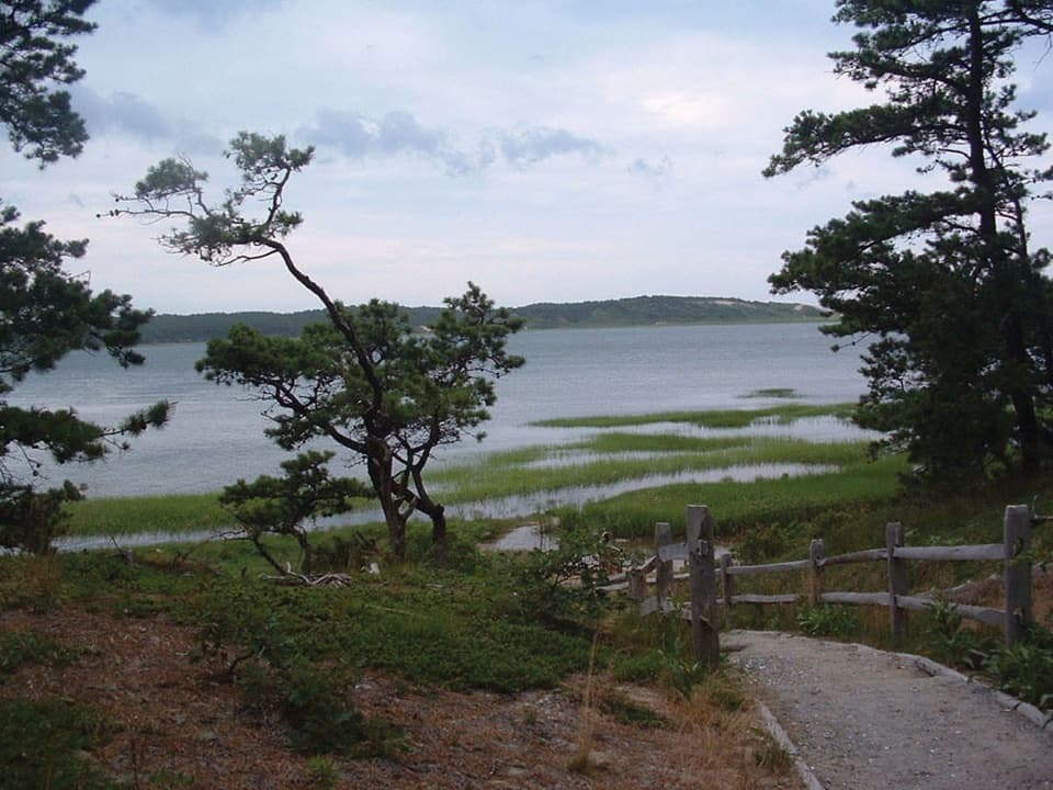
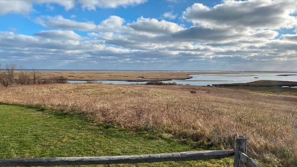
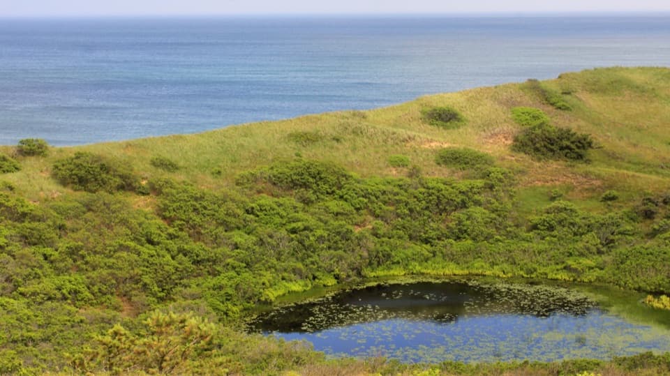
The east spur is sandy and open, with wind-shaped pitch pines and bayberry around the rise. The view opens toward Ballston Beach and the Atlantic. It is the place to frame a little of the scrub in front of the ocean, so the picture still feels like the Cape rather than a blank horizon.
The west summit ends at a small platform looking over the cranberry bog and pond, with the old Bog House below. It is worth taking both branches: the east summit is broad and coastal, while the west one shows the tucked-away valley and the remains of its working landscape.
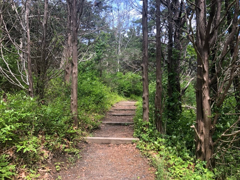
The approach climbs gently through pine and oak before the grade steepens near the overlooks. The trail has a firm surface overall, but there are log steps and sandy footing on the summit spurs. Wet weather can leave muddy patches. The route is short, though the steeper finish makes it a moderate walk rather than a level leg-stretcher.
Bearberry, sometimes called hog cranberry, is a low evergreen shrub in the heath family; the red berries gave the hill its name. Pitch pine, scrub oak, bayberry and beach plum grow along the route. From the west platform, the 1830s Bog House is a reminder of the commercial cranberry harvest here. The building was restored by the Friends of Cape Cod National Seashore, and outdoor exhibits explain the area's trail markers and glacial terrain.
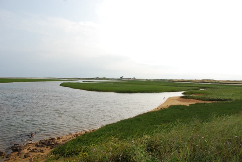
The Pamet River starts in marshland south of the hill. In 1991, waves from the Perfect Storm cut a roughly 100-foot breach through the dune behind nearby Ballston Beach, temporarily isolating much of Truro and all of Provincetown. It is a striking bit of local history to keep in mind while looking across this low, narrow landscape.
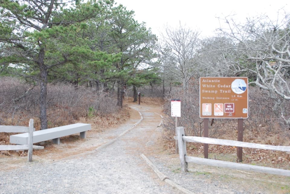
There are no restrooms on the Pamet Area Trails, and food or drinking water on the route was not found. No activity fee is listed for this hike, though a park entrance fee may apply. Pets are not allowed on these walking trails.
Wildlife
 461 sightingsGray SealMost seen around 11 AMSighting map
 85 sightingsCoyoteMost seen around 6 AMSighting map
 300 sightingsRed FoxMost seen around 7 PMSighting map
 49 sightingsWhite-tailed DeerMost seen around 6 AMSighting map
 264 sightingsHorseshoe CrabMost seen around 8 PMSighting map
 74 sightingsGreat Blue HeronMost seen around 6 PMSighting map
Sighting maps show where each species has been reported across Cape Cod. Wildlife moves, so no sighting is guaranteed.
Keep exploring
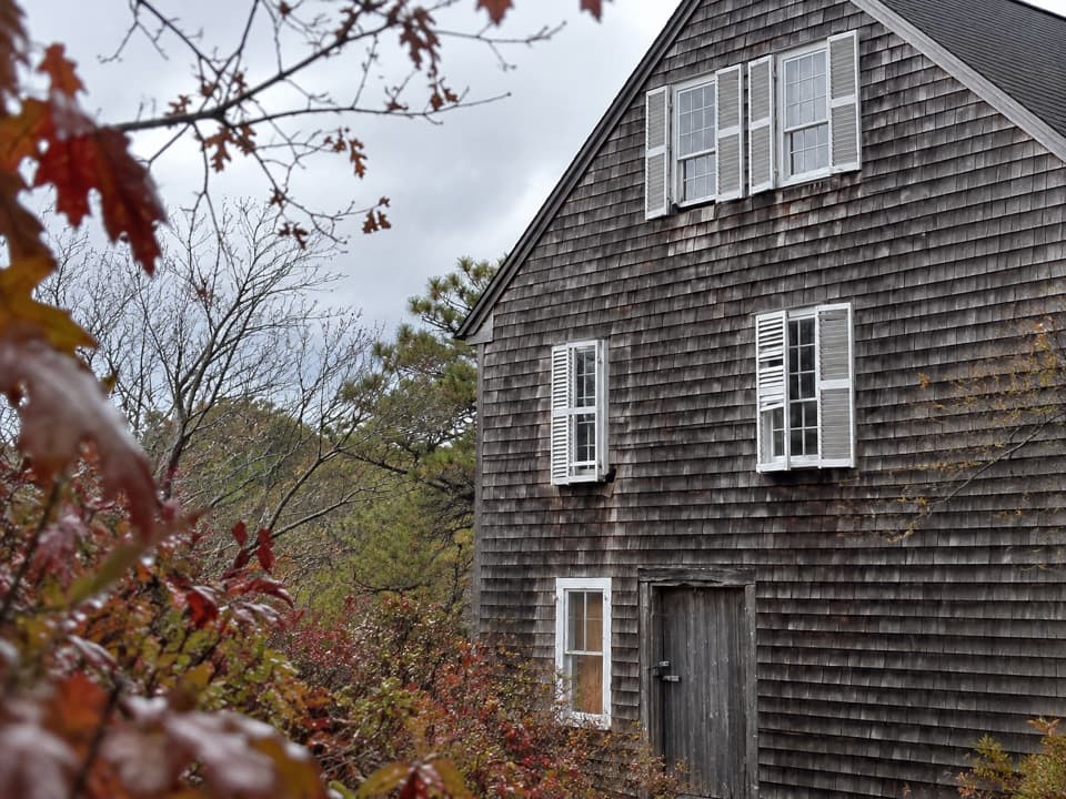 ModeratePamet Cranberry Bog Trail1.8 mi · 1.3 hr · At the trailheadA woodland walk to the former cranberry Bog House
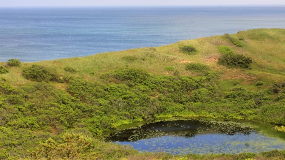 ModerateHiggins Hollow Loop3.1 mi · 2 hr · At the trailheadLow hills, an ocean overlook, and a cranberry boghouse.
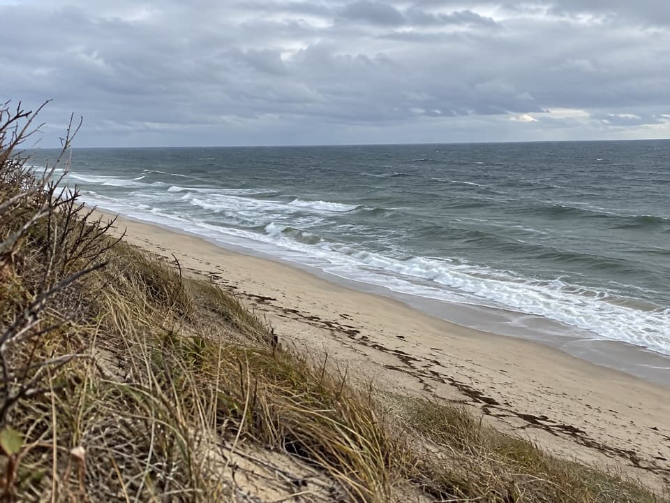 ModerateGreat Dunes Trail2.6 mi · 1.8 hr · 1.6 mi awayA shaded approach opens to an Atlantic bluff above the waves.
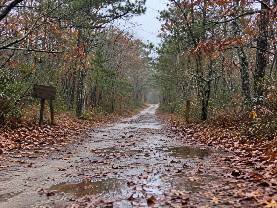 EasyOld Fox Bottom Road1.8 mi · 1 hr · 2 mi awayA Cold War fire road ends at an eroding Atlantic bluff.
 ModerateWoods Walk at Highlands Center1 mi · 30 min · 2.6 mi awayA mile-long woods loop with a Cold War backstory.
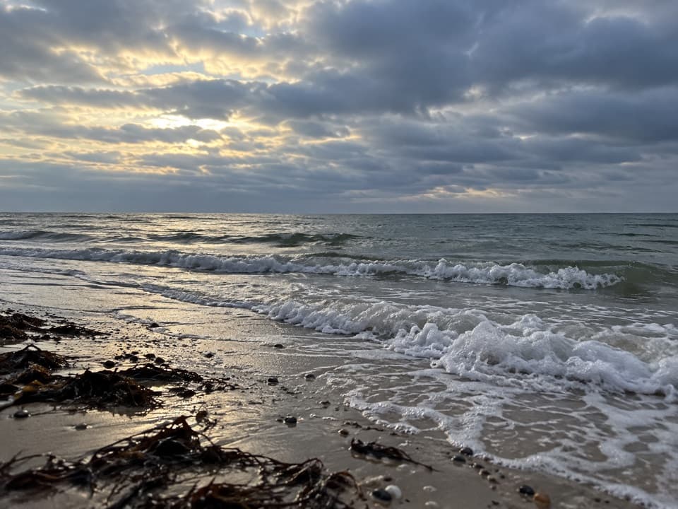 EasyRyder Beach Loop3.1 mi · 1.5 hr · 3.8 mi awayA bay loop pairs rail history, open shore, and sandy roads.
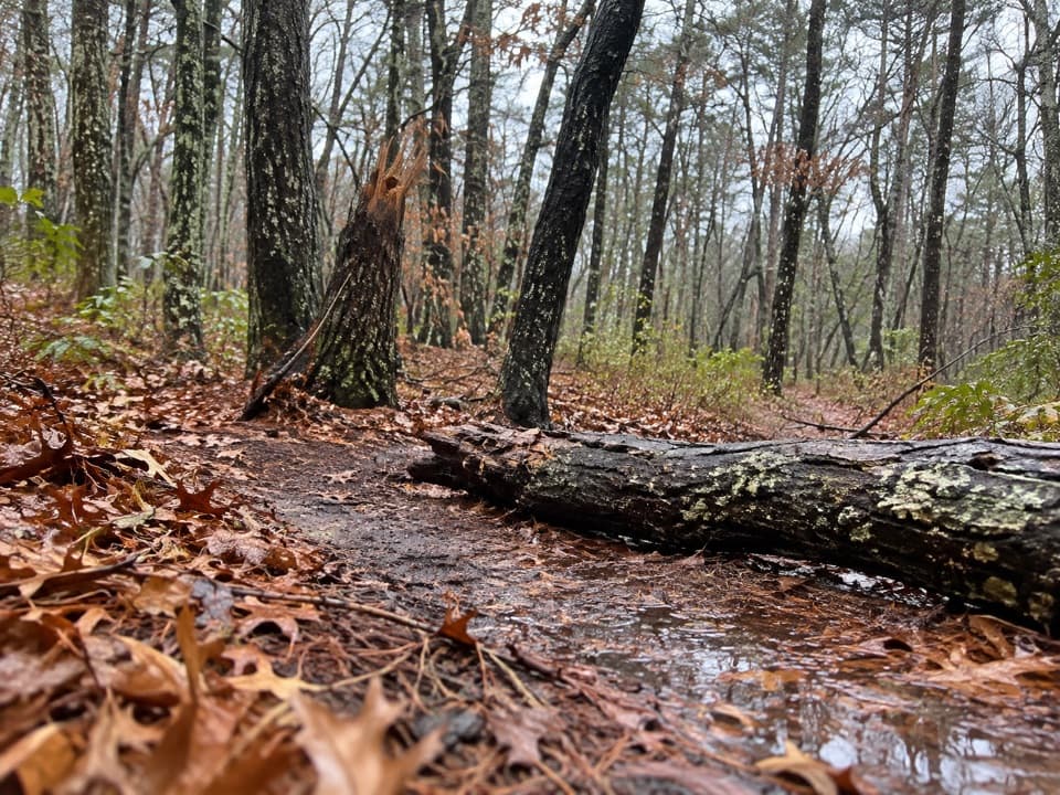 EasyAround Dyer Pond Loop1.3 mi · 40 min · 4.2 mi awayA compact loop circles a freshwater pond through Wellfleet woods.
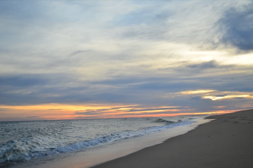 ModerateHead of the Meadow Beach and Bike Trail Loop4.5 mi · 2.5 hr · 4.4 mi awayA beach walk, sandy cut-through, and paved return.
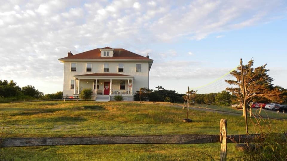 Lodging · 0.1 mi awayTruro HostelSleep in a former Coast Guard station near Ballston Beach.
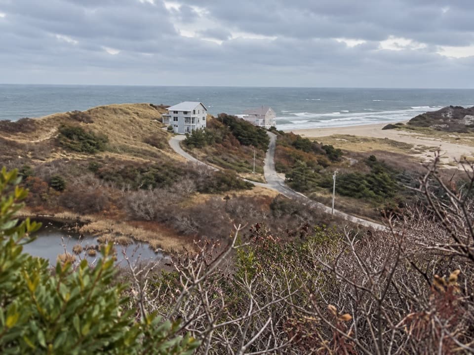 Sight · 0.1 mi awayBearberry Hill OverlooksTwo hilltop spurs trade steep steps for beach and bog views.
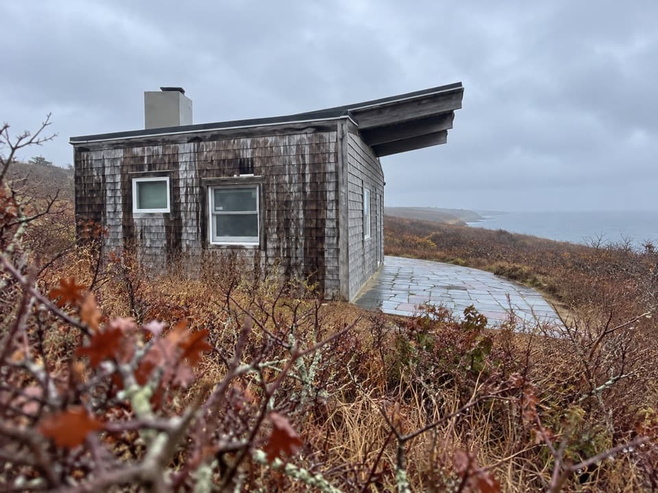 Sight · 0.2 mi awayPamet Cranberry Bog HouseA weathered link to Truro's cranberry-growing past.
 Beach · 0.3 mi awayBallston BeachWalk a broad Atlantic shore and discover a vanished resort.
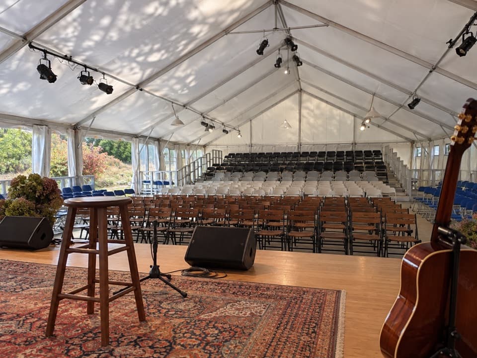 Sight · 2.6 mi awayPayomet Performing Arts CenterClose-up shows under canvas, but access is event-only.
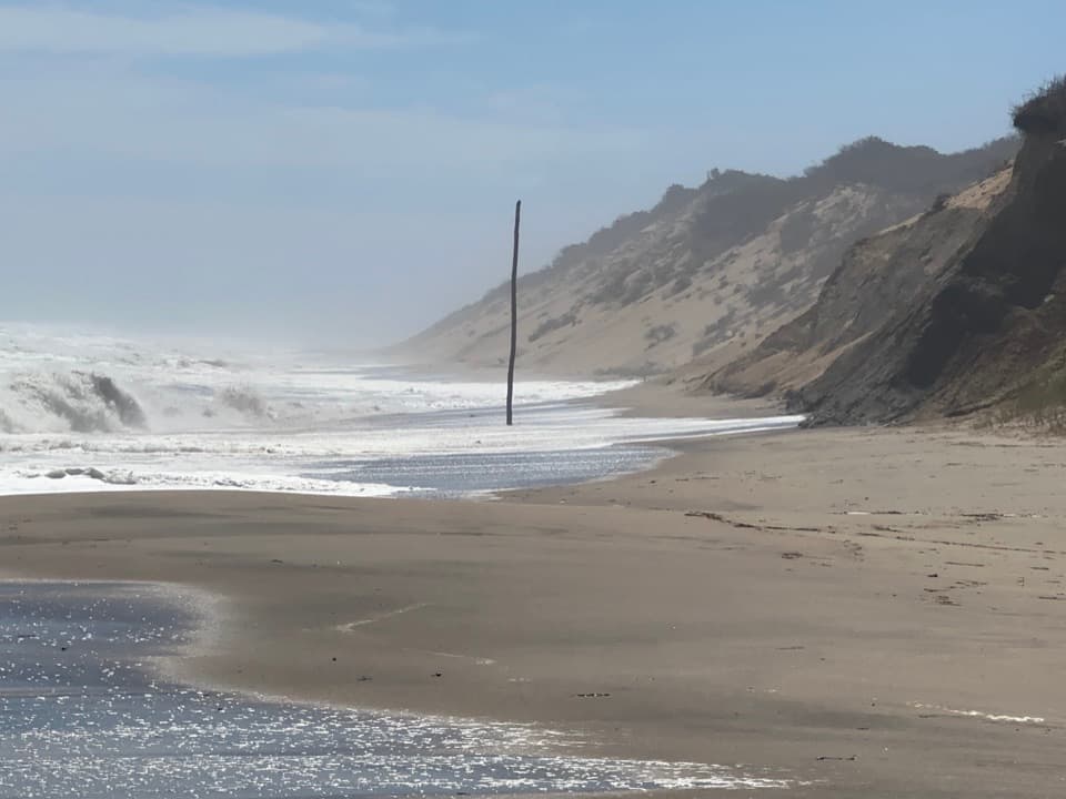 Beach · 3.1 mi awayNewcomb Hollow BeachA gentler dune descent leads to a wide, surfy Atlantic shore.
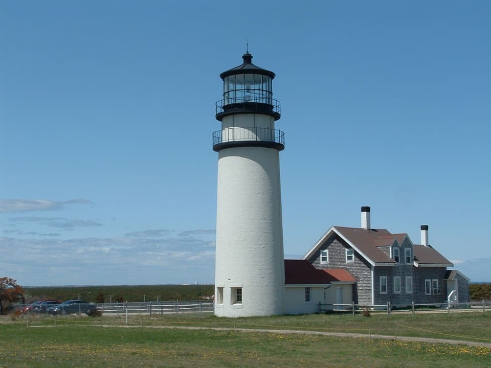 Sight · 3.2 mi awayHighland LightClimb the 1857 lighthouse moved 450 feet inland from the cliff.
 Sight · 3.2 mi awayHighland LinksA nine-hole links course with Atlantic views and a lighthouse beside it.
Parkwolf’s Cape Cod ranking

The audio tour guide for the drive, plus offline maps, trails, and wildlife heatmaps for when the signal drops.