Best time to visit
There’s no bad season for scenery, but your best visit is whenever the wind cooperates. Build flexibility into your plans, check conditions before departure, and aim your beach walks and hikes for calmer windows.

Beach · Channel Islands National Park
Windswept white-sand beach and main gateway to Santa Rosa Island
Overview
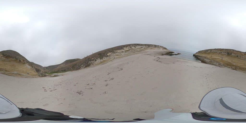
Bechers Bay is the windswept, white‑sand gateway to Santa Rosa Island. You come ashore at the pier here and step right into big‑sky coastal scenery, historic ranch remnants, and a network of hikes that fan out from the bay. It feels remote and elemental in the best way—nothing flashy, just miles of beach and rolling island hills.
Map
Local know-how
Pack windproof layers and sun protection—exposure here is real.
Check park alerts for area closures and sensitive habitats before you go.
Private aircraft cannot land; maintain a 1,000‑foot minimum overflight altitude.
If arriving by boat, review shore access rules and respect closed zones.
Bring all food and water; there are no services at the bay.
Plan your stop

The highest, rockiest slopes around here are a summer buffet for grizzly bears.
Channel Islands Tour Guide
Parkwolf is a GPS audio tour guide for Channel Islands National Park. As you drive, it chimes in with what’s ahead: hidden gems, upcoming stops, history, geology, and wildlife, right through your car’s speakers.
See the Channel Islands audio tourRecorded for this place
Bechers Bay: The Gateway to Santa Rosa Island“You’re about to arrive at Bechers Bay, the main gateway to Santa Rosa Island. This is where you’ll come ashore, stepping onto a huge, windswept white-sand beach that really sets the tone for the whole island.”
Plays as you drive up to Bechers Bay in the Parkwolf Channel Islands Tour Guide.
More stories near here in the app
“Fantastic app with many points of information… It’s great to just turn on while you’re driving and it gives you an audio tour of the national Park. We love it!!!!”


Guide
Expect a classic Channel Islands mix along the shore and near the pier. Seabirds work the coastline, and you may spot marine mammals—seals and sea lions—in the waters and from shore. The island as a whole supports unique species, so keep your eyes open as you hike from the bay.
This is a bring‑everything kind of spot. There’s no store, no restaurant, and no gas—plan to be self‑sufficient. A developed campground (Water Canyon Campground) sits roughly a mile‑plus from the pier, but count on minimal facilities and check current details before you go.
Wind is the defining factor here. It can be strong and persistent, shaping everything from your beach time to whether you’ll want to attempt on‑the‑water activities. Dress for exposure with layers that cut the wind.
The name has bounced around in records—appearing as Beechers/Bechers and even “N.W. Anchorage”—and likely traces back (misspelled) to 19th‑century explorer Sir Edward Belcher. The pier remains the main landing, while the nearby airstrip—once used for visitor flights—no longer serves public travel.
Wildlife
 2,232 sightingsIsland FoxMost seen around 6 PMSighting map
 282 sightingsHumpback WhaleMost seen around 9 AMSighting map
 79 sightingsBlue WhaleMost seen around 7 AMSighting map
 101 sightingsGrey WhaleMost seen around 8 AMSighting map
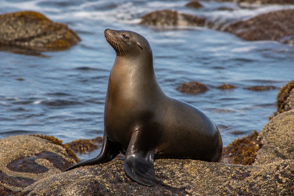 364 sightingsCalifornia Sea LionMost seen around noonSighting map
 105 sightingsBald EagleMost seen around 5 PMSighting map
Sighting maps show where each species has been reported across Channel Islands. Wildlife moves, so no sighting is guaranteed.
Keep exploring
 ChallengingCarrington Point Trail8 mi · 4 hr · 1.2 mi awayStrenuous, windswept out-and-back from Bechers Bay to wildlife-rich Carrington Point
 EasyBechers Bay Coastal Trail2 mi · 1.3 hr · 1.2 mi awayEasy coastal-bluff walk from the Bechers Bay pier to the airstrip junction
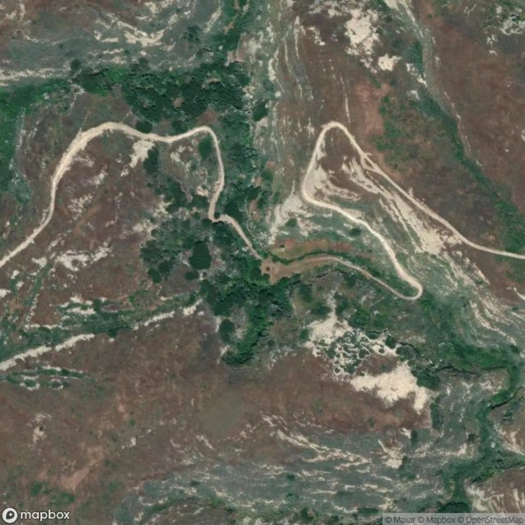 ChallengingLobo Canyon Trail9.6 mi · 6 hr · 1.2 mi awaySculpted sandstone canyon to a wild, lonely Santa Rosa coast
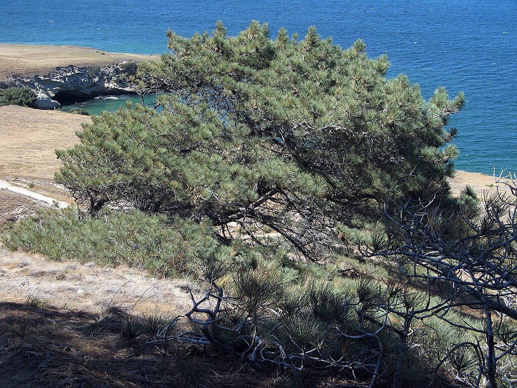 ChallengingTorrey Pines Grove Loop7.5 mi · 4.5 hr · 1.2 mi awayA strenuous Santa Rosa Island loop through the rare Torrey pine grove
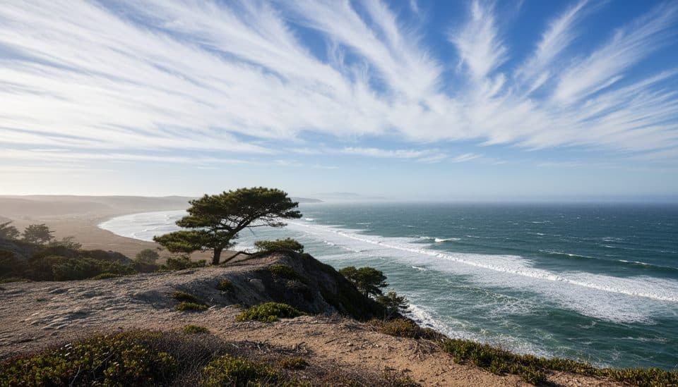 ModerateTorrey Pines Trail5 mi · 2.5 hr · 1.2 mi awayModerate Santa Rosa Island walk to the rare Torrey pine grove
 ChallengingSkunk Point Trail12 mi · 6 hr · 1.2 mi awayExposed Santa Rosa Island road, pine, beach, and tidepool hike to Skunk Point
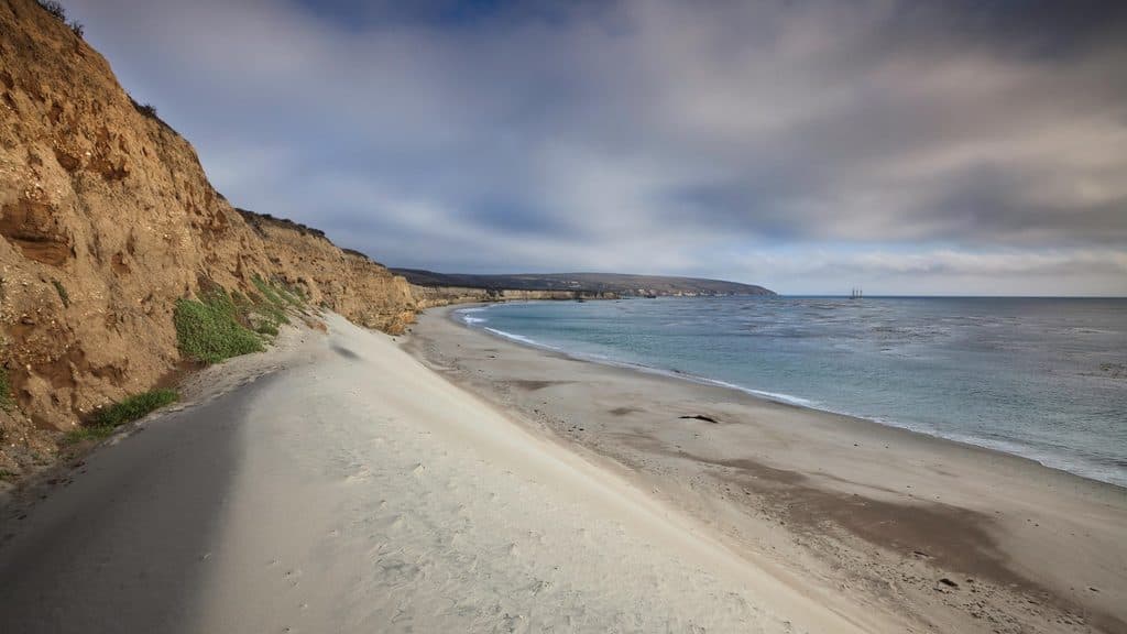 EasyWater Canyon Beach Trail3 mi · 1.5 hr · 1.2 mi awayEasy island walk from the Bechers Bay pier to a broad white-sand beach
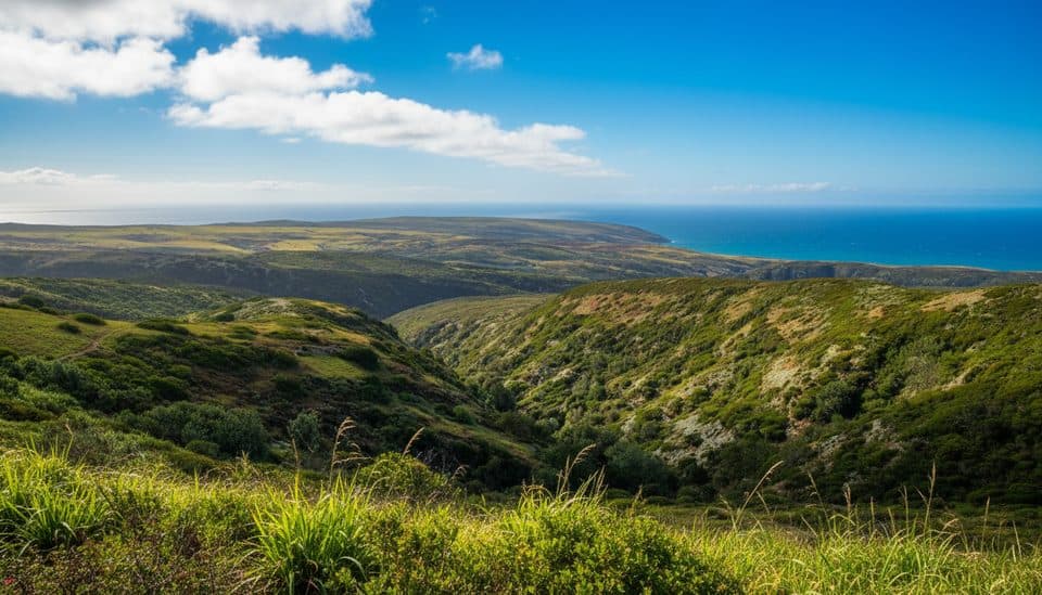 ChallengingBlack Mountain Trail8 mi · 4.5 hr · 1.2 mi awayStrenuous island summit climb through oak woodland to wide ocean and island views
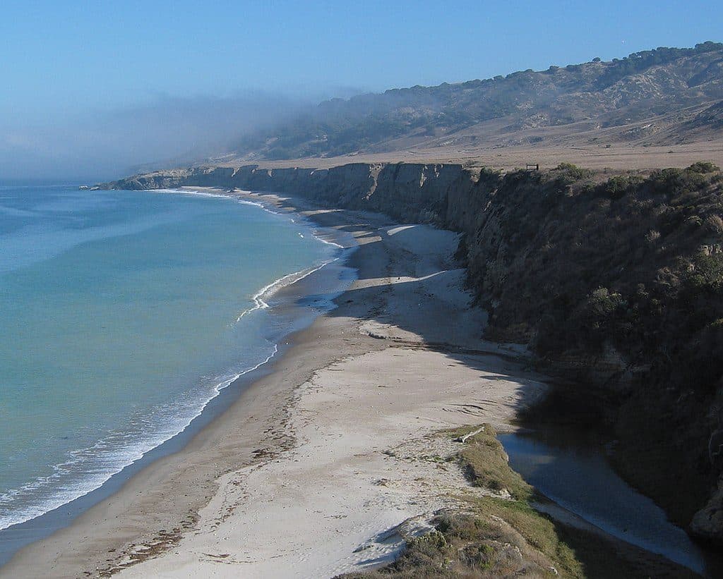 Beach · 0.4 mi awayWater Canyon BeachRemote 2-mile white-sand beach with wind and solitude
 Sight · 0.8 mi awayTorrey Pines Overlook (Santa Rosa Island)Rare island pines meet sweeping ocean-and-canyon views
 Campground · 0.9 mi awayWater Canyon CampgroundWind-sheltered island basecamp steps from Water Canyon Beach
 Sight · 1.1 mi awayTorrey Pines GroveRare island grove of ancient Torrey pines with coastal views
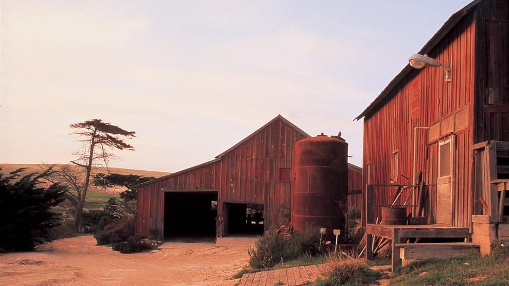 Sight · 1.3 mi awayVail and Vickers RanchHistoric island ranch complex with exterior views and quiet picnic lawn
 Beach · 3.2 mi awaySkunk PointRemote white-sand point with dunes, tidepools, and shorebirds
 Sight · 3.4 mi awaySanta Rosa IslandRemote island of wild beaches, Torrey pines, and foxes
 Sight · 4 mi awayLobo CanyonRemote, sculpted sandstone canyon that spills onto a wild coast
Parkwolf’s Channel Islands ranking

The audio tour guide for the drive, plus offline maps, trails, and wildlife heatmaps for when the signal drops.


