Pros & cons
PROS
- Rare native Torrey pine grove with ancient, wind‑sculpted trees
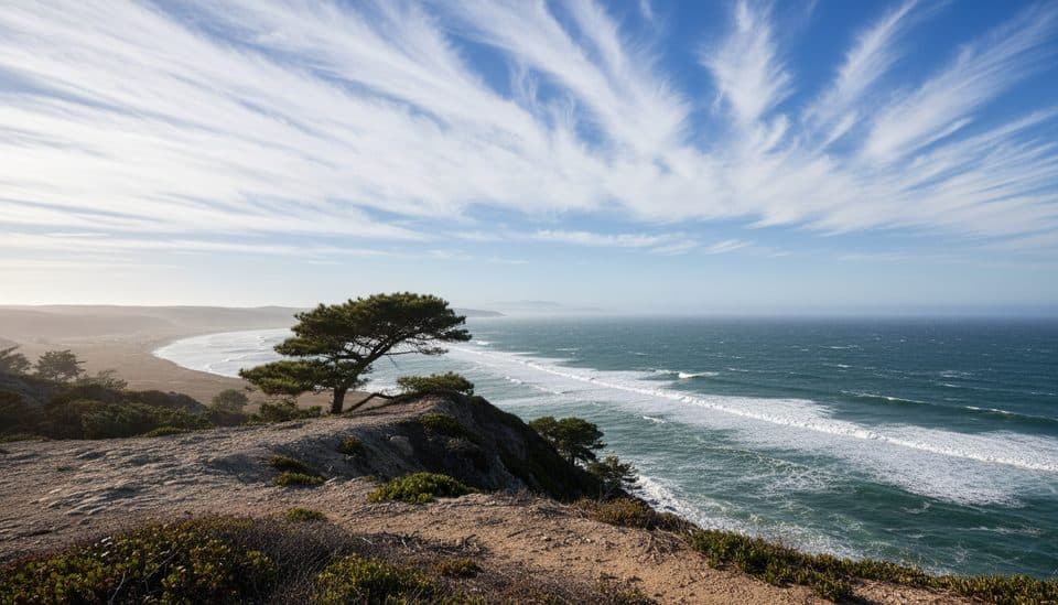
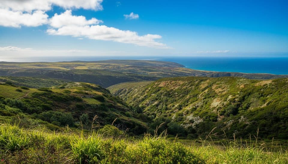
- Big views over canyons, interior ridges, and the Pacific
- Usually quiet and uncrowded
CONS
- Long, exposed hike with wind and strong sun
- No services along the route or at the overlook
Overview
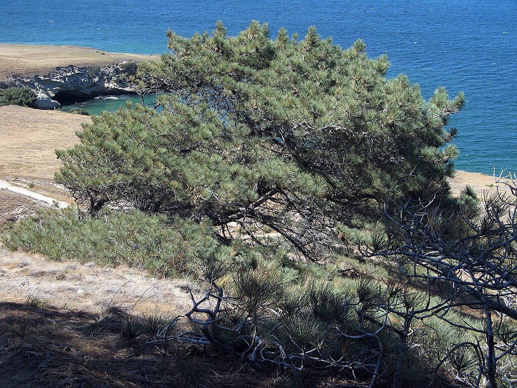
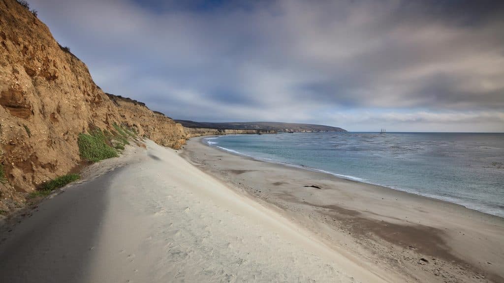
This overlook peers into one of California’s rarest natural scenes: the Santa Rosa Island grove of Torrey pines. These trees grow natively in only two places on Earth, and the island’s grove includes venerable, gnarled pines that feel both wild and ancient. The setting is classic Santa Rosa—breezy, open hills and canyons giving way to ocean on nearly every horizon.
What You'll See
Expect a striking contrast of deep-green pines against tawny slopes, with sweeping panoramas of the island’s rugged interior, steep canyons, and broad Pacific vistas. The grove itself is the star: twisted, wind‑shaped Torrey pines clustered along ridges, with needles carpeting the ground and a hush that’s rare on the mainland.
The Hike
Most visitors reach the overlook via a loop from the Bechers Bay pier area—about 7.5 miles round trip—with moderate to strenuous effort due to distance and some steeper sections. A shorter option is roughly 5 miles to the base of the pines. Two common approaches: follow the flatter coastal road for a more direct view of the grove, or take the loop that climbs the grove’s western edge for bigger vistas before descending the steeper east side. The route is fully exposed—plan for wind and sun.
Wildlife
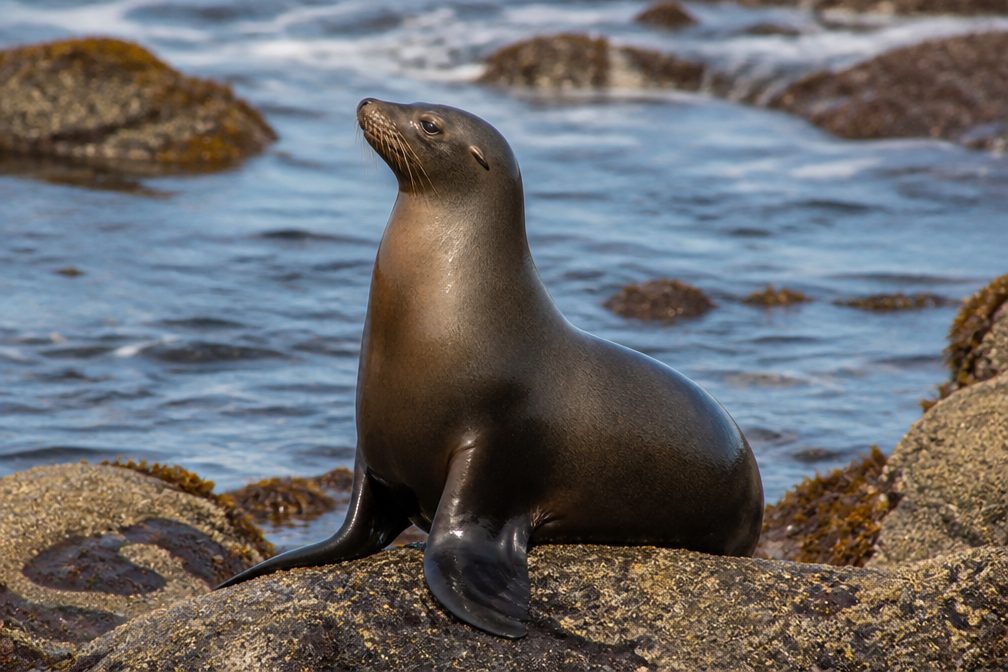
Birders may spot seasonal visitors like California quail in the cooler months, and the broader island supports unique native species. Keep your eyes open along the trail and near the grove edges.
Know Before You Go
This is a remote, undeveloped viewpoint. There are no restrooms, water, or other facilities at the overlook or along the trail. Access on Santa Rosa Island is by foot from Bechers Bay after arriving by boat or plane, and island roads are not open for public driving. Bring all essentials and stay on established paths to protect the fragile grove and surrounding habitat.
Best Time to Visit
Crowds are rarely an issue here. Because the trail is exposed to wind and sun, early or late in the day offers gentler light and more comfortable temperatures. If the forecast calls for strong winds, add extra layers and plan accordingly.

Where it is
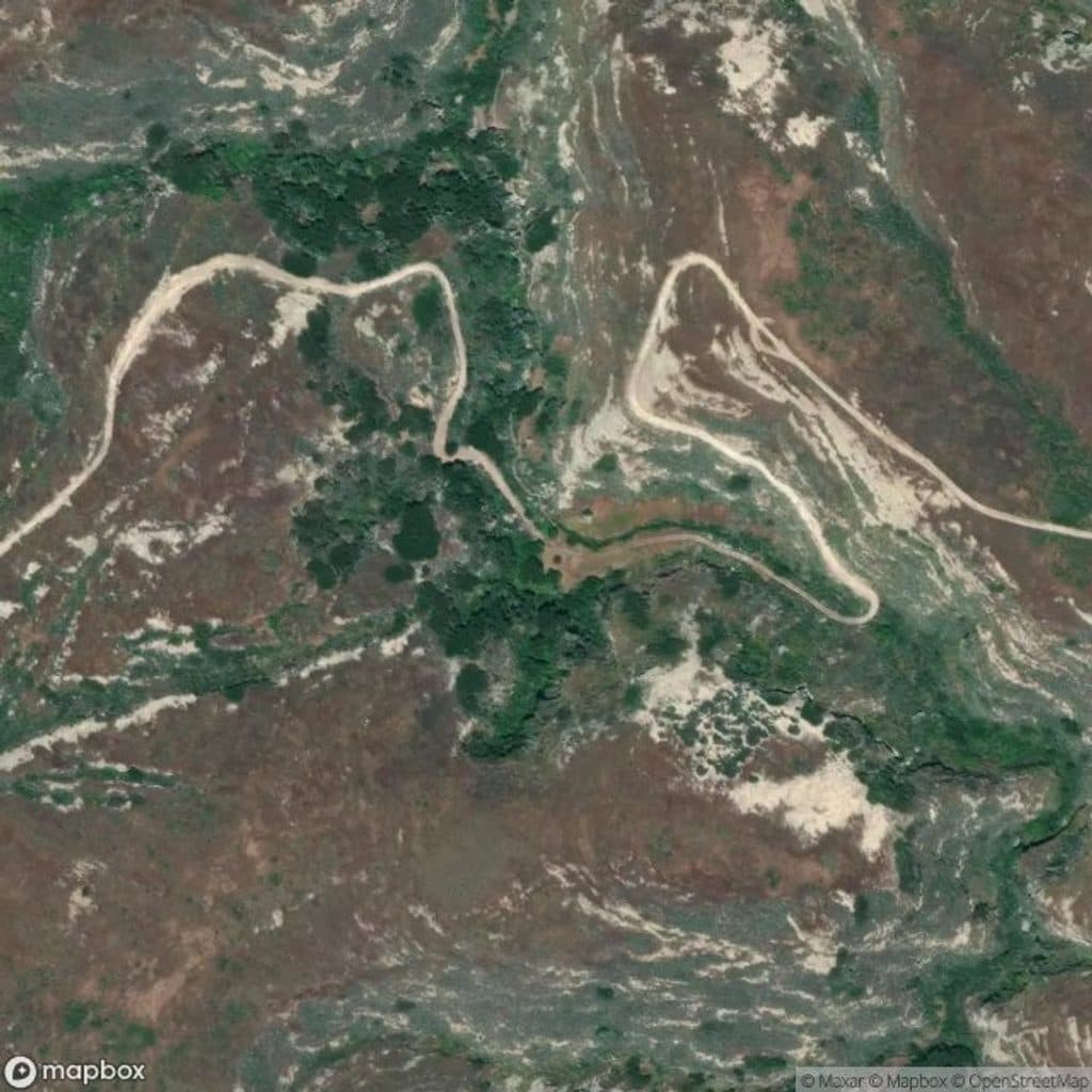
33.9855, -120.0264Tips for Torrey Pines Overlook (Santa Rosa Island)
- 01Carry all the water and food you’ll need; there are no services.
- 02Choose the loop via the grove’s west side for the best vistas, then descend east.
- 03Pack sun protection and a wind layer—the route is fully exposed.
- 04Start from the Bechers Bay pier area and allow ample time for the 7.5‑mile loop.
- 05Stay on signed trails to protect the fragile Torrey pine habitat.
Amenities
Near Torrey Pines Overlook (Santa Rosa Island)
All places →All trails →
0.3 mi awayTorrey Pines GroveRare island grove of ancient Torrey pines with coastal views
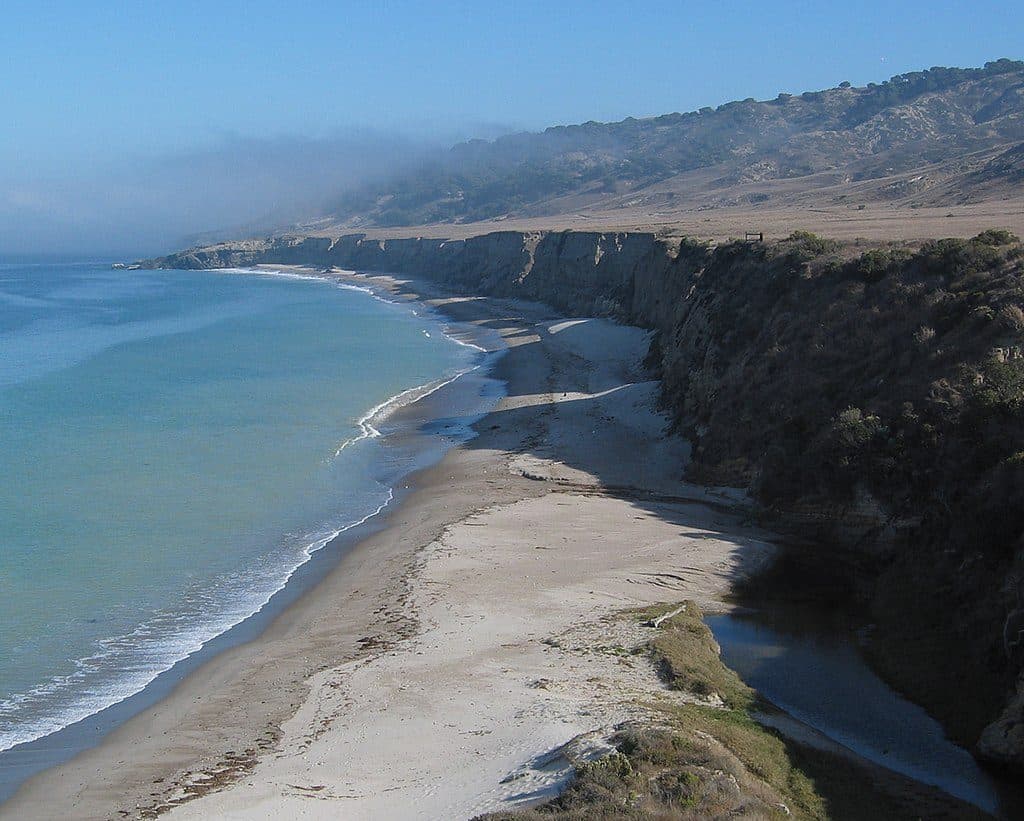
0.9 mi awayWater Canyon BeachRemote 2-mile white-sand beach with wind and solitudeRestroom · Picnic Table
1.3 mi awayBlack Mountain TrailWindy ridge climb to Santa Rosa’s big-sky summit and ocean panoramasChallenging · 8 mi · 4.5 hr
1.3 mi awayCherry Canyon TrailShaded canyon to breezy bay views, steps from the Santa Rosa pierEasy · 3.5 mi · 1.8 hr
1.3 mi awayWater Canyon CampgroundWind-sheltered island basecamp steps from Water Canyon BeachCampground · Restroom
2 mi awayCarrington Point TrailWindswept bluff walk to wildlife rich views at Santa Rosa’s tipModerate · 5 mi · 3.5 hr
2 mi awayBechers Bay Coastal TrailGentle bluff stroll from the pier with big Bechers Bay viewsEasy · 2 mi · 1.3 hr
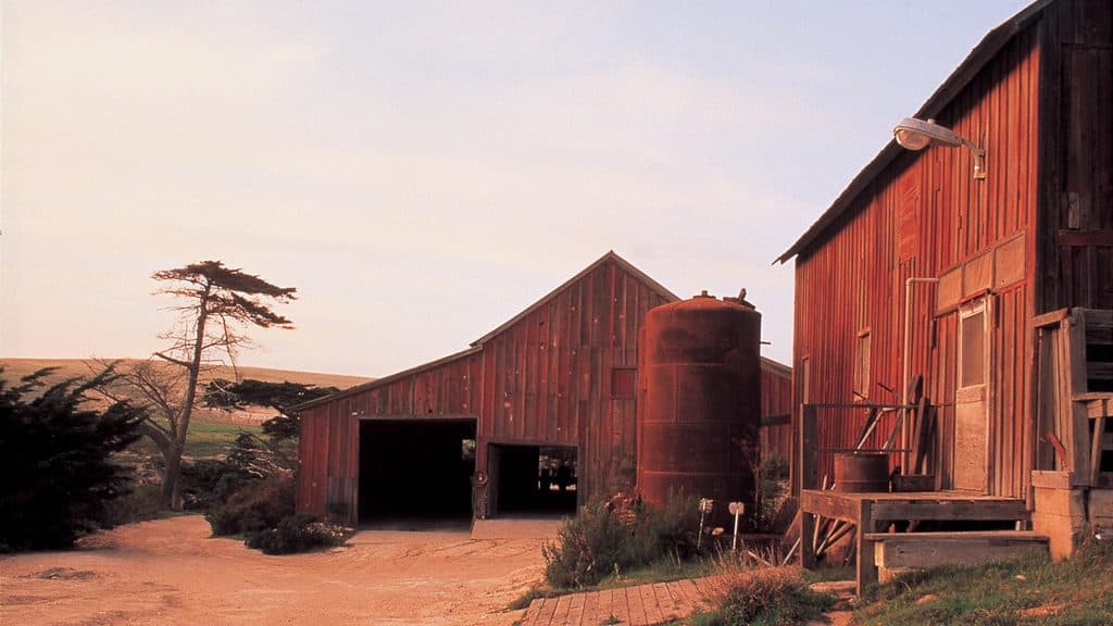
2.1 mi awayVail and Vickers RanchHistoric island ranch complex with exterior views and quiet picnic lawnExhibit