Pros & cons
PROS
- Quick access from the pier with nearby restrooms and picnic area
- Connects easily to Water Canyon Campground and beach
CONS
- Proximity to the active airstrip can break the wilderness vibe
- Some adjacent beaches/dunes close seasonally for nesting plovers
No car parking; start at the Bechers Bay pier landing by the historic ranch complex. Day visitors typically arrive by boat; restrooms and a picnic area are near the ranch.
Strong coastal winds, full sun exposure, and occasional small-plane activity near the airstrip; respect seasonal beach/dune closures for nesting snowy plovers.
Overview
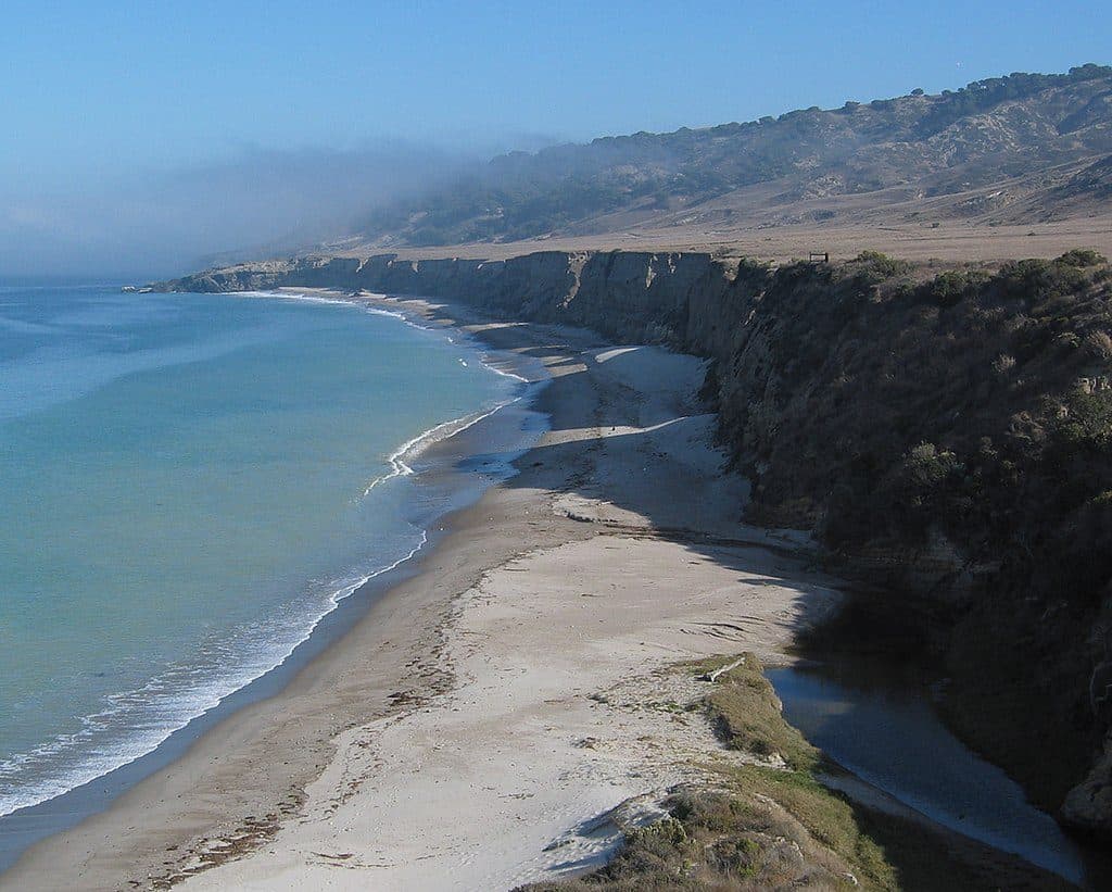
This is the island warm-up lap: an easy, mostly flat out-and-back along the coastal bluffs of Bechers Bay on Santa Rosa Island. It runs roughly 2.0 miles total, round trip, from the Bechers Bay pier area to the airstrip junction and back. Expect big ocean views, breeze-in-your-face walking, and quick access to the ranch area, Water Canyon Campground, and Water Canyon Beach.
What You’ll See
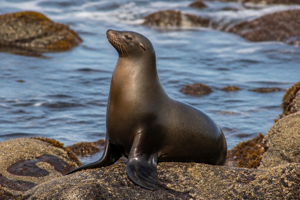
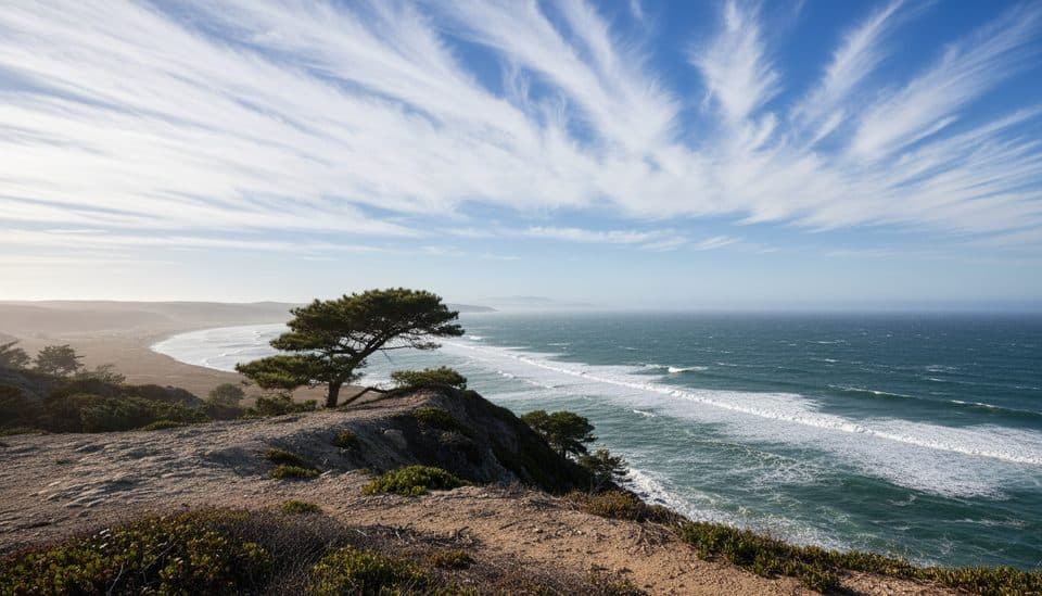
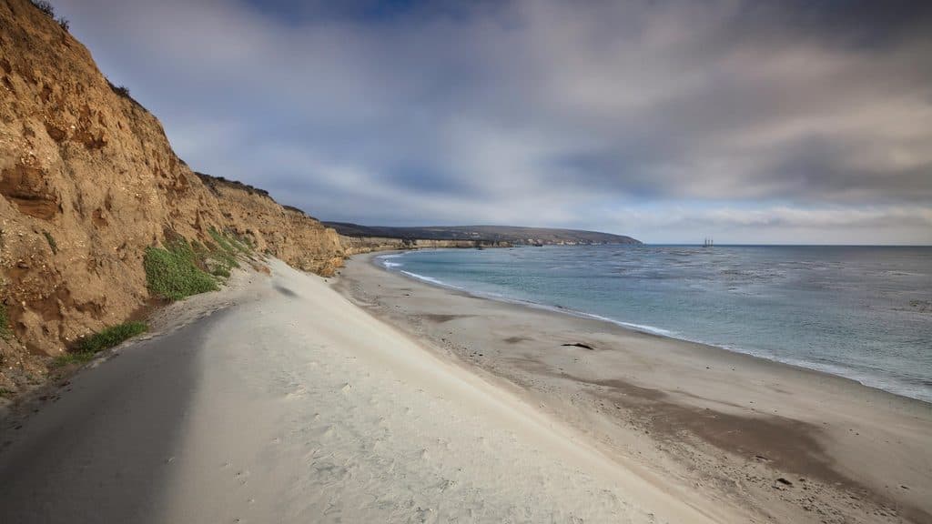
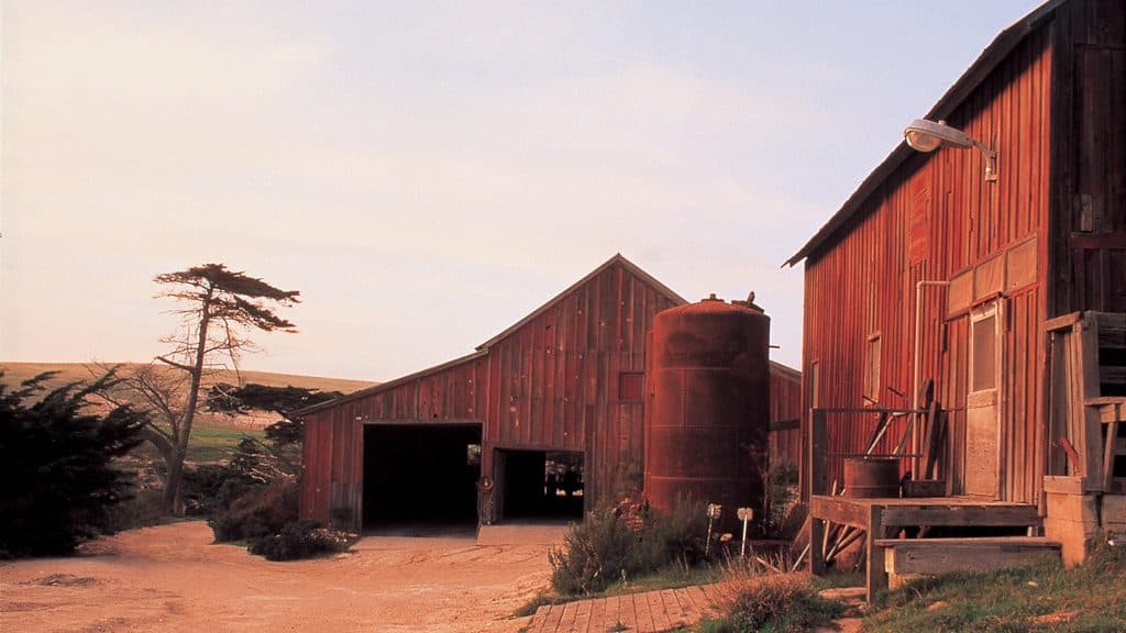
The route tracks low coastal bluffs above white-sand beaches with panoramic views across Bechers Bay. Keep an eye out for seabirds riding the wind and marine mammals offshore. You’ll also pass near the historic ranch complex (picnic area and restrooms nearby) and skirt the island’s active airstrip near the turnaround. The scenery is more about sweeping seascape than deep backcountry—exactly the point if you want a relaxed coastal ramble.
Trail Experience
The path is straightforward, wide, and generally flat—good for most abilities and ideal for stretching your legs after the boat ride. Wind is part of the experience here, especially in spring, though the bay’s shape and low hills offer some shelter. Navigation is simple along the bluffs and connector roads, but it’s still smart to carry a map.
Best Time to Hike
Year-round works. Spring and early summer are your sweet spot for wildflowers and milder temps, with typically strong northwest winds more common in spring. Morning light flatters the bluffs and bay; afternoons can be windier. Note that some nearby beaches and dunes (not on the trail itself) may be closed March 1–September 15 to protect nesting snowy plovers.
Tips & Tricks
- Bring sun protection—shade is scarce—and pack layers for brisk coastal wind.
- Binoculars pay off for bird and marine mammal watching.
- Respect any posted beach/dune closures and stay on designated routes.
- Expect occasional small-plane activity near the airstrip junction.
Is It Worth It?
Yes—if you’re after an easy, scenic intro to Santa Rosa. It’s not the island’s most dramatic outing, but it’s a low-effort, high-view payoff that fits perfectly for day visitors and campers. If you’re chasing a longer, wilder adventure, use this as a warm-up and plan a bigger hike elsewhere on the island.
Where it starts
34.0084, -120.0470Wildlife on this trail
Near Bechers Bay Coastal Trail
All places →All trails →
0 mi awayCarrington Point TrailWindswept bluff walk to wildlife rich views at Santa Rosa’s tipModerate · 5 mi · 3.5 hr
0.2 mi awayVail and Vickers RanchHistoric island ranch complex with exterior views and quiet picnic lawnExhibit
1.1 mi awayWater Canyon CampgroundWind-sheltered island basecamp steps from Water Canyon BeachCampground · Restroom
1.2 mi awayWater Canyon BeachRemote 2-mile white-sand beach with wind and solitudeRestroom · Picnic Table
1.2 mi awayBlack Mountain TrailWindy ridge climb to Santa Rosa’s big-sky summit and ocean panoramasChallenging · 8 mi · 4.5 hr
1.2 mi awayCherry Canyon TrailShaded canyon to breezy bay views, steps from the Santa Rosa pierEasy · 3.5 mi · 1.8 hr
2 mi awayTorrey Pines Overlook (Santa Rosa Island)Rare island pines meet sweeping ocean-and-canyon viewsScenic Viewpoint
17.4 mi awayPoint Bennett TrailRemote, ranger-led epic to roaring seal and sea lion coloniesChallenging · 16 mi · 6 hr