Parking
There is no public on-island parking. Arrive by authorized boat at the Bechers Bay pier; arrange transportation before departure.
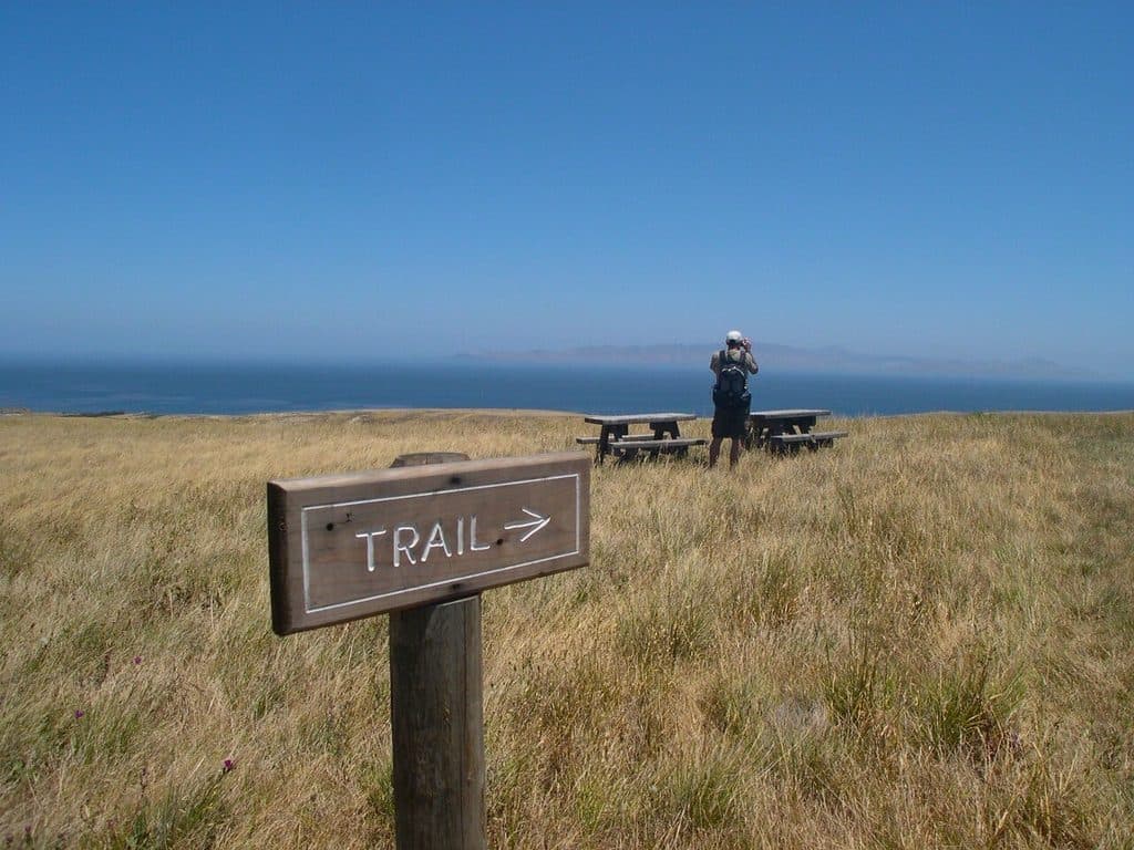
Channel Islands National Park, CA
Moderate loop through Cherry Canyon to Bechers Bay views from the Santa Rosa Island pier
Overview
Cherry Canyon Trail is a moderate 3.5-mile round-trip loop from the Bechers Bay pier on Santa Rosa Island. The route follows the island’s ranch-road and trail system into Cherry Canyon, where seasonal creek habitat and native vegetation give way to open coastal-terrace views across Bechers Bay.
Cherry Canyon is a rewarding island loop with modest elevation, a seasonal creek corridor, historic ranch context, and broad Bechers Bay views. It is an approachable hike, but the remote boat access and exposed island conditions require preparation.
 Parkwolf’s verdictBottom Line
Map & elevation
Plan your hike

The highest, rockiest slopes around here are a summer buffet for grizzly bears.
Channel Islands Tour Guide
Parkwolf is a GPS audio tour guide for Channel Islands National Park. As you drive, it chimes in with what’s ahead: hidden gems, upcoming stops, history, geology, and wildlife, right through your car’s speakers.
See the Channel Islands audio tourRecorded for this trailhead
Santa Rosa Island's Water Canyon Campground“You're nearing the Water Canyon Campground, the only established campsite on Santa Rosa Island.”
Plays as you drive up to this trailhead in the Parkwolf Channel Islands Tour Guide.
More stories near here in the app
“Fantastic app with many points of information… It’s great to just turn on while you’re driving and it gives you an audio tour of the national Park. We love it!!!!”


Trail guide
The loop passes historic ranch-area scenery before entering Cherry Canyon, a sheltered corridor with riparian vegetation and a seasonal creek. Higher sections open onto broad views of the Santa Rosa coast and neighboring islands. The island’s native wildlife, including the Santa Rosa Island fox, is part of the experience; observe it from a distance and never feed wildlife.
Plan on 3.5 miles total from the pier. This is a closed loop: the stored line follows the full continuous visitor traversal from the pier through the Cherry Canyon and Telephone Road corridor and back through the Bechers Bay ranch area. Branches toward Black Mountain, the campground, and Water Canyon Beach are separate extensions and are not included in this route.
Wildlife
 2,232 sightingsIsland FoxMost seen around 6 PMSighting map
 282 sightingsHumpback WhaleMost seen around 9 AMSighting map
 79 sightingsBlue WhaleMost seen around 7 AMSighting map
 101 sightingsGrey WhaleMost seen around 8 AMSighting map
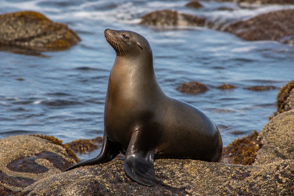 364 sightingsCalifornia Sea LionMost seen around noonSighting map
 105 sightingsBald EagleMost seen around 5 PMSighting map
Sighting maps show where each species has been reported across Channel Islands. Wildlife moves, so no sighting is guaranteed.
Keep exploring
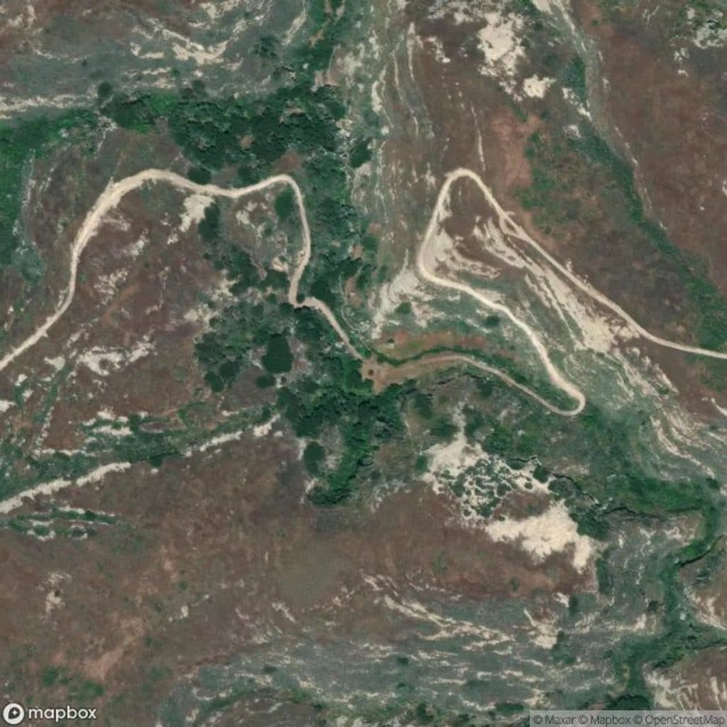 ChallengingLobo Canyon Trail9.6 mi · 6 hr · At the trailheadSculpted sandstone canyon to a wild, lonely Santa Rosa coast
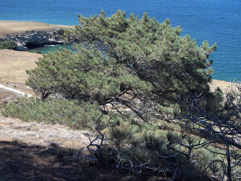 ChallengingTorrey Pines Grove Loop7.5 mi · 4.5 hr · At the trailheadA strenuous Santa Rosa Island loop through the rare Torrey pine grove
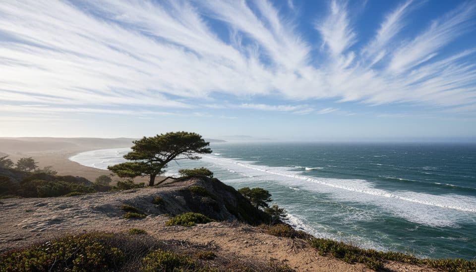 ModerateTorrey Pines Trail5 mi · 2.5 hr · At the trailheadModerate Santa Rosa Island walk to the rare Torrey pine grove
 ChallengingSkunk Point Trail12 mi · 6 hr · At the trailheadExposed Santa Rosa Island road, pine, beach, and tidepool hike to Skunk Point
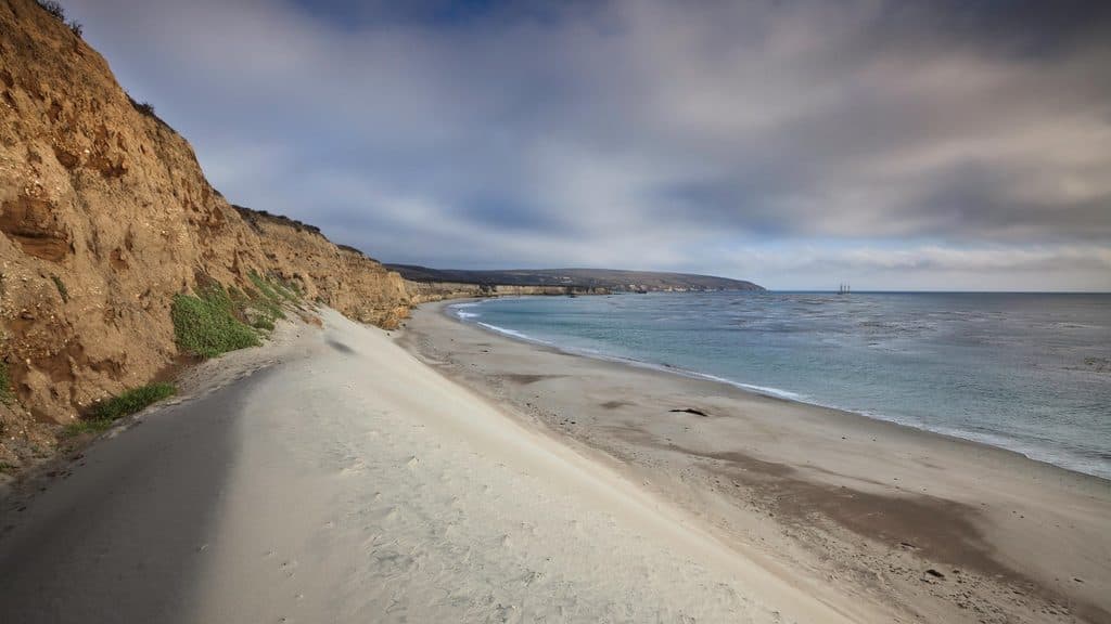 EasyWater Canyon Beach Trail3 mi · 1.5 hr · At the trailheadEasy island walk from the Bechers Bay pier to a broad white-sand beach
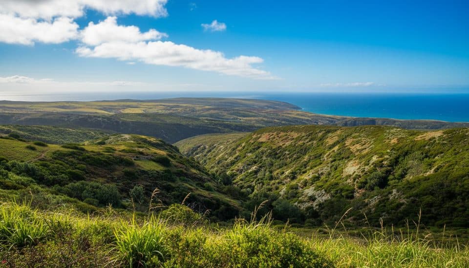 ChallengingBlack Mountain Trail8 mi · 4.5 hr · At the trailheadStrenuous island summit climb through oak woodland to wide ocean and island views
 ChallengingCarrington Point Trail8 mi · 4 hr · 0.1 mi awayStrenuous, windswept out-and-back from Bechers Bay to wildlife-rich Carrington Point
 EasyBechers Bay Coastal Trail2 mi · 1.3 hr · 0.1 mi awayEasy coastal-bluff walk from the Bechers Bay pier to the airstrip junction
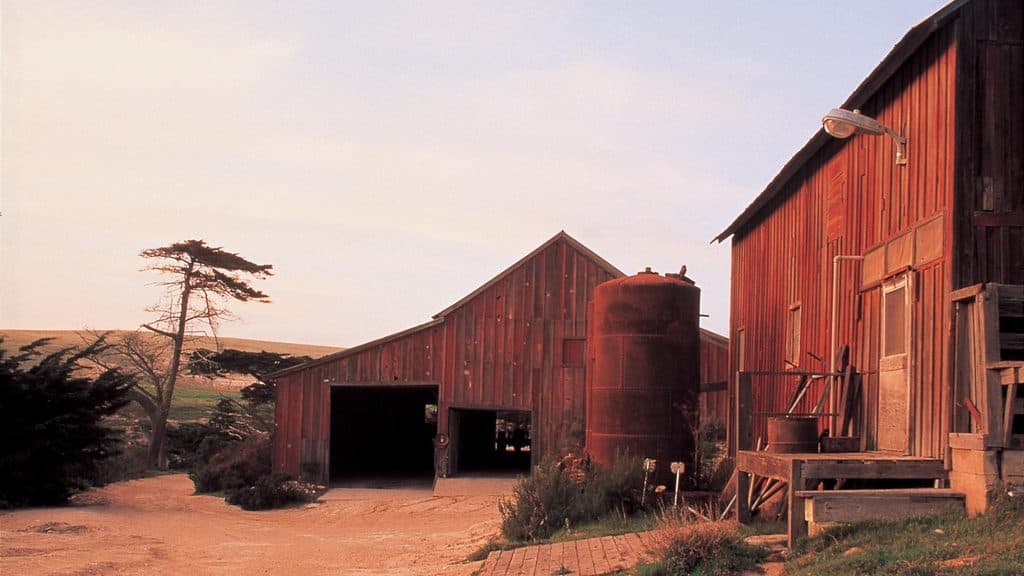 Sight · 0.2 mi awayVail and Vickers RanchHistoric island ranch complex with exterior views and quiet picnic lawn
 Campground · 1.1 mi awayWater Canyon CampgroundWind-sheltered island basecamp steps from Water Canyon Beach
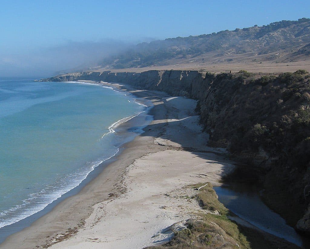 Beach · 1.2 mi awayWater Canyon BeachRemote 2-mile white-sand beach with wind and solitude
 Beach · 1.2 mi awayBechers BayWindswept white-sand beach and main gateway to Santa Rosa Island
 Sight · 2 mi awayTorrey Pines Overlook (Santa Rosa Island)Rare island pines meet sweeping ocean-and-canyon views
 Sight · 2.3 mi awayTorrey Pines GroveRare island grove of ancient Torrey pines with coastal views
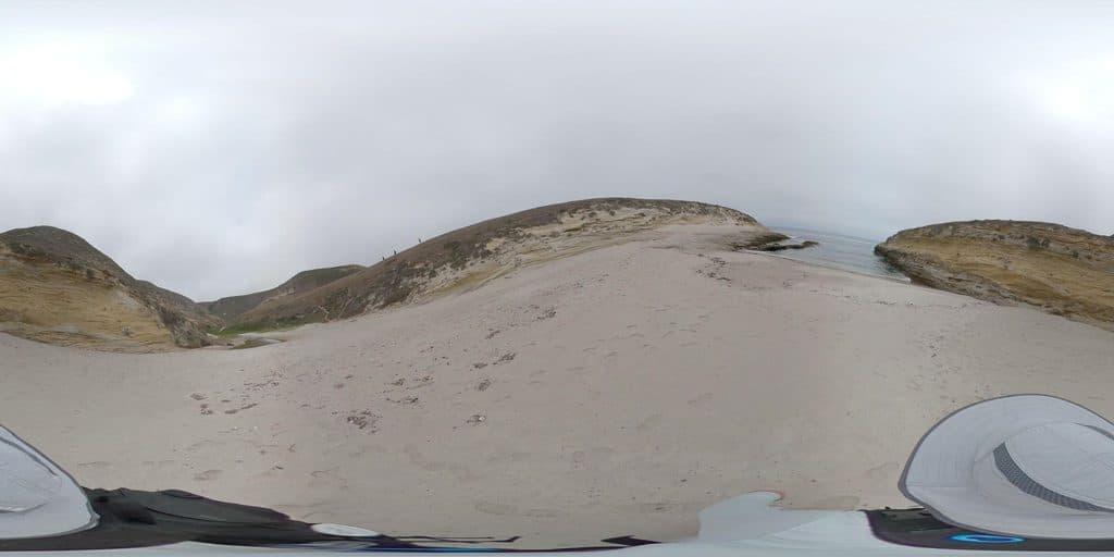 Sight · 2.9 mi awayLobo CanyonRemote, sculpted sandstone canyon that spills onto a wild coast
 Sight · 3.2 mi awaySanta Rosa IslandRemote island of wild beaches, Torrey pines, and foxes
Parkwolf’s Channel Islands ranking
The audio tour guide for the drive, plus offline maps, trails, and wildlife heatmaps for when the signal drops.


