Parking
Start from the resort back parking area at Bonneville Hot Springs Trailhead. The resort offers daily public parking passes, but asks hikers to contact the front desk for trail parking availability and details before arriving.
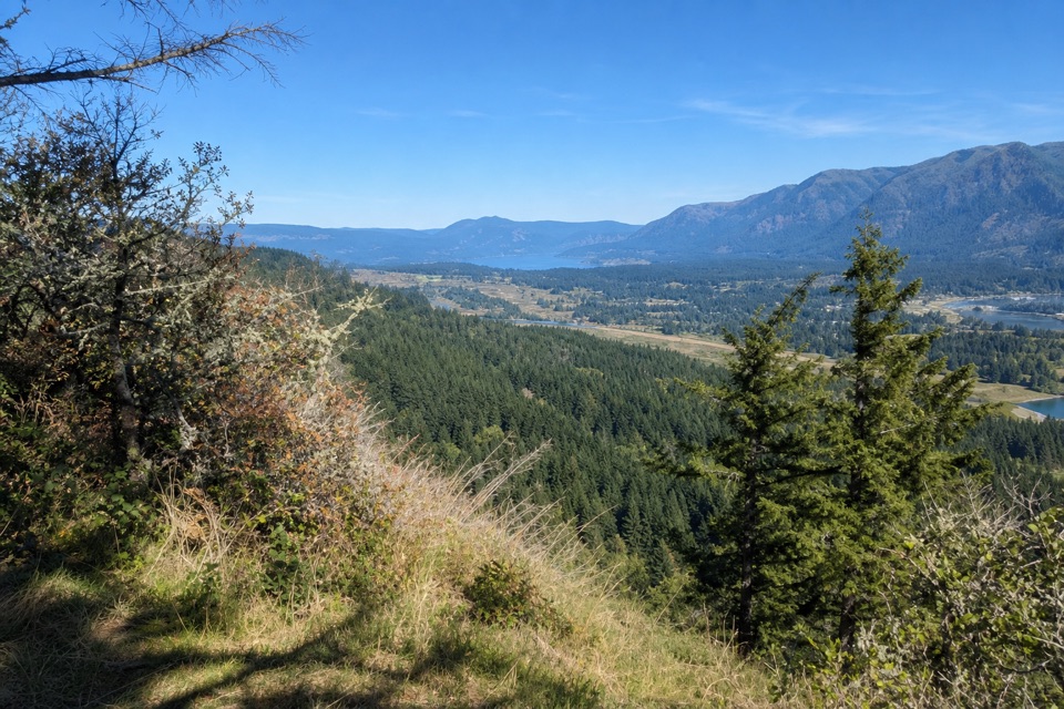
Columbia River Gorge National Scenic Area, OR · WA
A wooded climb to a summit clearing with Columbia River Gorge views.
Overview
Map & elevation
Plan your hike

The highest, rockiest slopes around here are a summer buffet for grizzly bears.
Columbia River Gorge Tour Guide
Parkwolf is a GPS audio tour guide for Columbia River Gorge National Scenic Area. As you drive, it chimes in with what’s ahead: hidden gems, upcoming stops, history, geology, and wildlife, right through your car’s speakers.
Recorded for this area
Fort Cascades Historic Site“You're approaching Fort Cascades Historic Site, where a mile-and-a-half riverside loop traces a vanished portage town.”
Plays on the road 0.7 mi from the trailhead in the Parkwolf Columbia River Gorge Tour Guide.
More stories near here in the app
“Fantastic app with many points of information… It’s great to just turn on while you’re driving and it gives you an audio tour of the national Park. We love it!!!!”


Trail guide
Aldrich Butte Trail is a 3.5-mile out-and-back from Bonneville Hot Springs Trailhead to the summit clearing, with about 1,095 feet of climbing. Allow roughly 2.5–3 hours. It suits hikers after a wooded climb with a Columbia River Gorge payoff; the mileage is short, but the ascent and uneven tread make it a real workout.
From the resort's back parking area, cross a plank bridge and climb through alder, fir, vine maple, cobbles and small logs. Wet-season mud is common. Plank and log bridges cross small streams and Carpenters Creek; a duckweed pond and seasonal pool sit beside the path. An opening at Carpenters Meadow looks toward Sacaquawea and Papoose Rocks and Table Mountain. Turn right when the trail reaches Aldrich Butte Road. At Carpenters Lake, stay left past the Two Chiefs Trail branch, then keep left again at the Table Mountain junction for Aldrich Butte; the other branch climbs toward the Pacific Crest Trail and Table Mountain.
The old road climbs through hemlock and Douglas-fir to a clearing with a concrete marker, stonework and garage foundation from the World War II aircraft-warning station built to protect Bonneville Dam. The true summit lies just west of the clearing. For the broad Gorge view, step out to the steep, open south-facing meadow; the view west is blocked. Hiker parking is on resort property. Public day passes are offered, but the resort asks hikers to check with the front desk about availability and details before arriving.
Wildlife
 267 sightingsBald EagleMost seen around 7 AMSighting map
 51 sightingsBlack BearMost seen around 7 PMSighting map
 136 sightingsAmerican PikaMost seen around 8 AMSighting map
 16 sightingsWapitiMost seen around 7 AMSighting map
 195 sightingsMule DeerMost seen around 7 AMSighting map
 74 sightingsChinook SalmonMost seen around 6 PMSighting map
Sighting maps show where each species has been reported across Columbia River Gorge. Wildlife moves, so no sighting is guaranteed.
Keep exploring
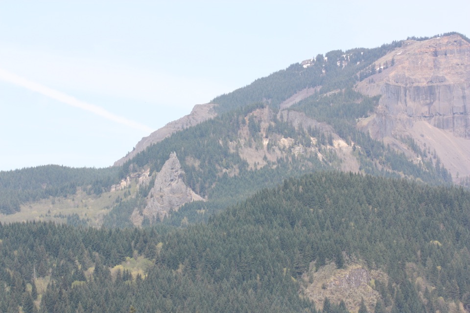 ChallengingTable Mountain – Heartbreak Ridge Loop8 mi · 6 hr · 0.1 mi awaySteep talus leads to sheer Gorge cliffs and a hard-earned summit.
 EasyFort Cascades Trail1.5 mi · 1 hr · 0.8 mi awayA level riverside loop through a vanished portage town.
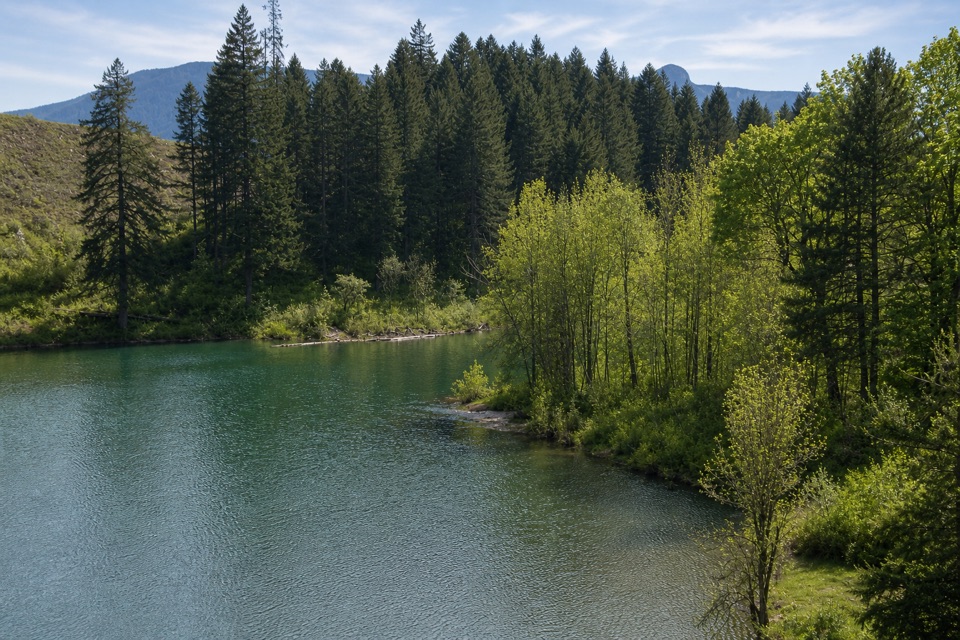 ModerateGillette Lake5.3 mi · 3 hr · 1.3 mi awayA forest climb to blue-green water and landslide ponds.
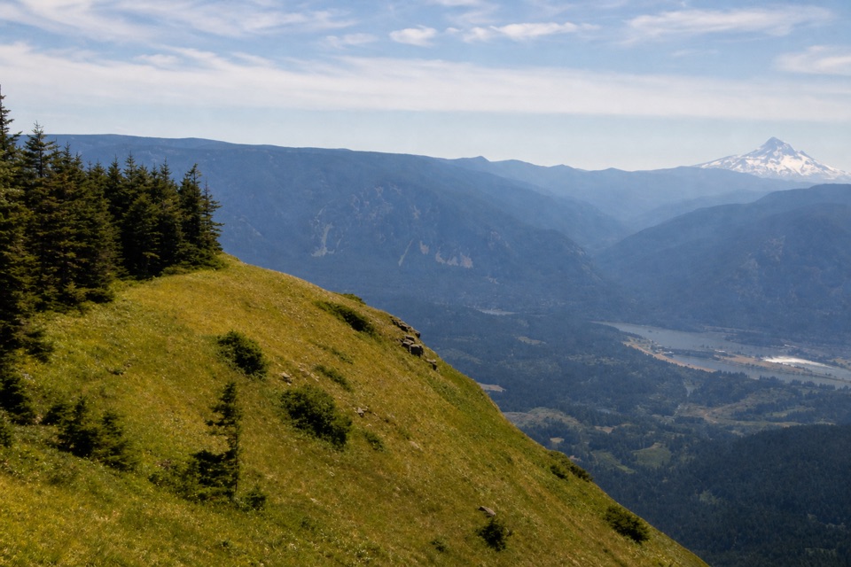 ChallengingTable Mountain from Bonneville Trailhead15.5 mi · 11 hr · 1.3 mi awayA hard climb to sheer cliffs above the Columbia Gorge.
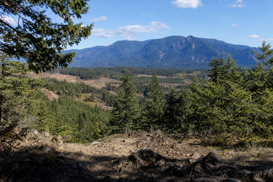 ModerateGreenleaf Overlook7.9 mi · 4.5 hr · 1.3 mi awayFollow the PCT to a mossy perch above the Bonneville Slide.
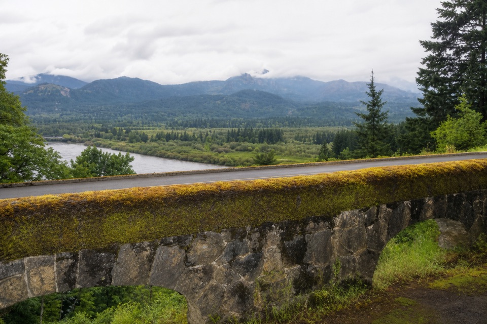 EasyTooth Rock Loop2.1 mi · 1.5 hr · 1.6 mi awayStone viaduct, river views, and a rough old road back.
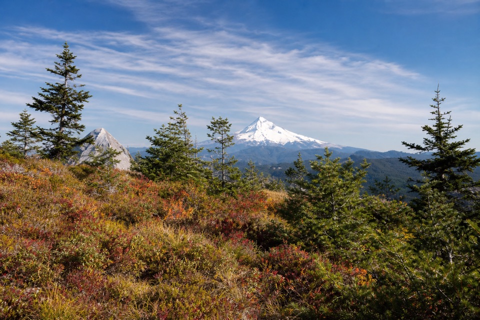 ChallengingTanner Butte Trail17.9 mi · 11.5 hr · 1.6 mi awayA long climb to old firetower remains and a Mount Hood view.
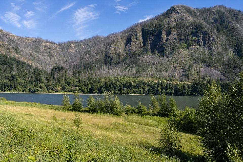 EasyStrawberry Island Loop4 mi · 2.5 hr · 1.7 mi awayA meadow in the river’s narrow middle, framed by both Gorge walls.
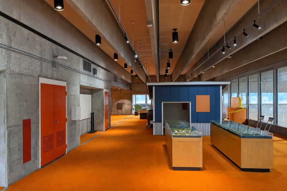 Visitor center · 1.3 mi awayWashington Shore Visitor CenterA fish ladder window and an 85-foot view into a powerhouse.
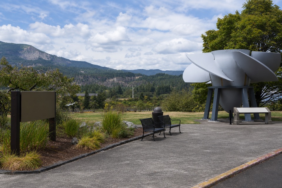 Visitor center · 1.3 mi awayBradford Island Visitor CenterFish ladder viewing and hydropower history under one roof.
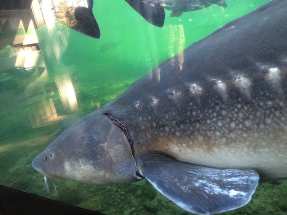 Sight · 1.5 mi awayBonneville Fish HatcherySee Herman through an underwater viewing window.
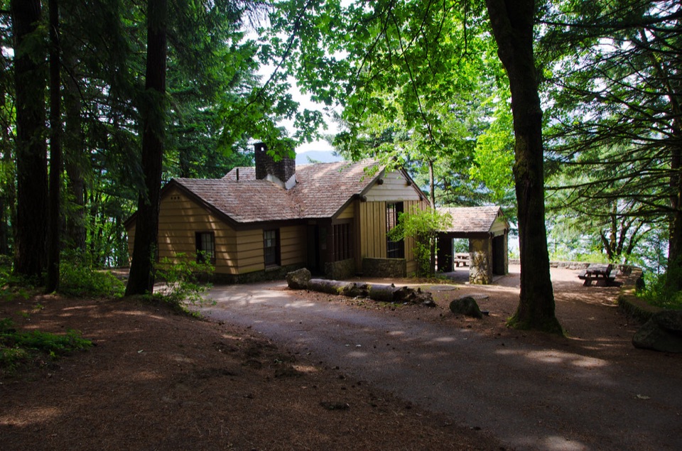 Campground · 1.7 mi awayEagle Creek Overlook Group CampgroundA CCC-built group campground with a bluff view of Bonneville Dam.
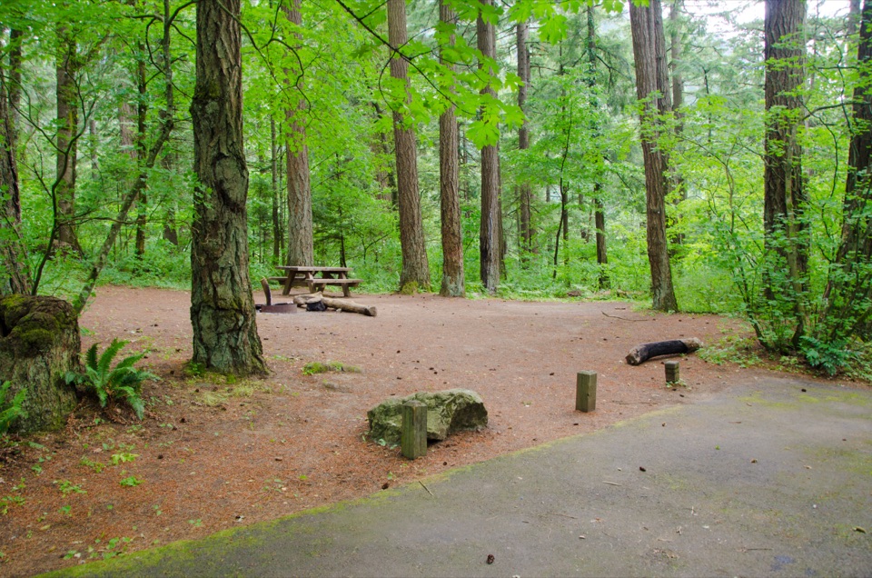 Campground · 1.9 mi awayEagle Creek CampgroundA shady 1916 campground at the foot of the Eagle Creek Trail.
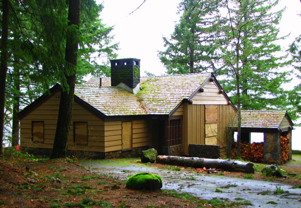 Picnic area · 2 mi awayEagle Creek Day Use AreaA historic picnic site where salmon return to the creek each fall.
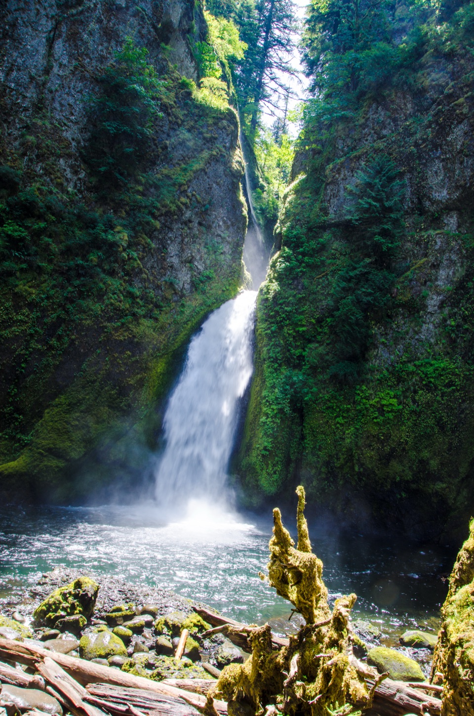 Sight · 2.6 mi awayWahclella FallsA short canyon walk ends at a two-tiered plunge pool.
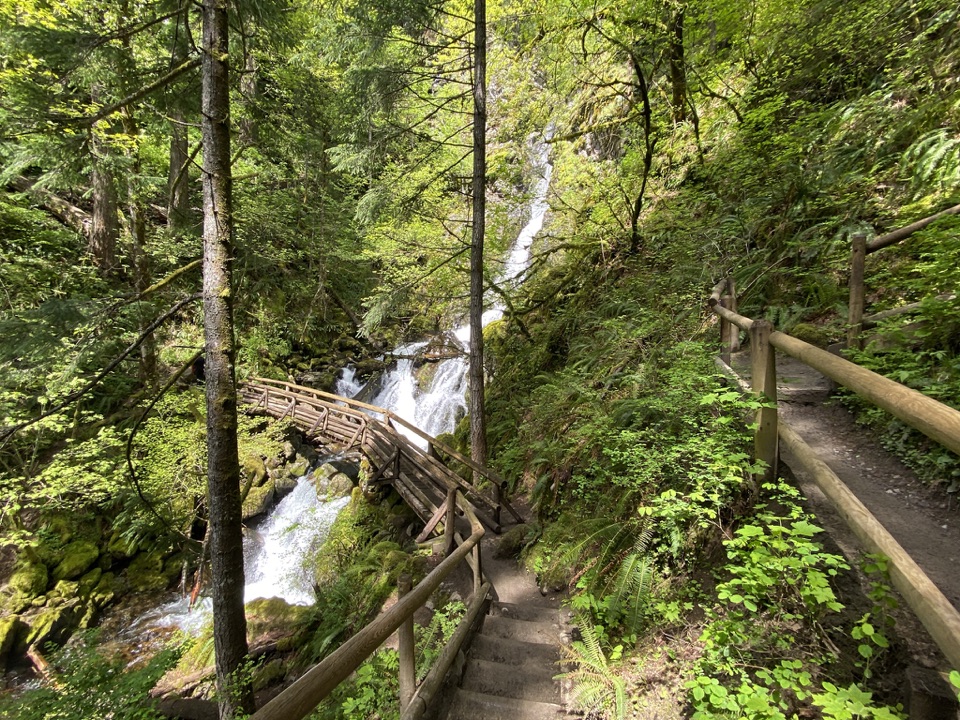 Sight · 2.8 mi awayRodney Falls & Pool of the WindsA waterfall pours through a narrow rock chamber into a spray-filled pool.
Parkwolf’s Columbia River Gorge ranking

The audio tour guide for the drive, plus offline maps, trails, and wildlife heatmaps for when the signal drops.





