Parking
Use the Wyeth/Gorton Creek Trailhead lot at the far end of Wyeth Campground. Follow the campground signs to the trailhead parking area; the Forest Service reports room for about ten cars. A valid recreation pass is required.
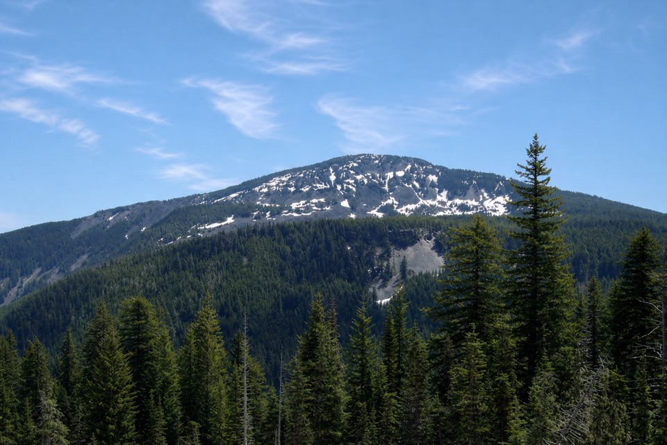
Columbia River Gorge National Scenic Area, OR · WA
A steep ridge loop with North Lake and wide Gorge views.
Overview
Map & elevation
Plan your hike

The highest, rockiest slopes around here are a summer buffet for grizzly bears.
Columbia River Gorge Tour Guide
Parkwolf is a GPS audio tour guide for Columbia River Gorge National Scenic Area. As you drive, it chimes in with what’s ahead: hidden gems, upcoming stops, history, geology, and wildlife, right through your car’s speakers.
Recorded for this trailhead
Wyeth Campground and Trails“You're approaching the turnoff for Wyeth Campground, a small wooded base beside the paved Historic Columbia River Highway State Trail. I'd choose it if you've brought a bike: the ride starts right by camp.”
Plays as you drive up to this trailhead in the Parkwolf Columbia River Gorge Tour Guide.
More stories near here in the app
“Fantastic app with many points of information… It’s great to just turn on while you’re driving and it gives you an audio tour of the national Park. We love it!!!!”


Trail guide
Green Point Ridge is a 15-mile loop from Wyeth/Gorton Creek Trailhead, following Wyeth Trail to North Lake, then using #423 and #418 to loop back to Wyeth. It gains about 5,000 feet, including nearly 3,840 feet in the first four miles. Allow 10 to 12 hours; this is a hard day for experienced hikers, not a quick ridge walk.
Wyeth Trail climbs forested switchbacks, with occasional Gorge openings. Past the high junction, continue through brushy upper basin to North Lake. North Lake Trail #423 links the lake to Green Point Ridge Trail #418; the mostly wooded ridge has a steeper climb and a short east spur above the lake. From the spur, frame North Lake below Mt. Defiance. Farther south, the ridge opens toward Mt. Hood and Rainy Lake. Follow #418 to Wyeth Trail and retrace the shared approach.
Start at the far end of Wyeth Campground, where the lot holds about ten cars; a recreation pass is required. The Forest Service says the trail is usually accessible from May. A major stream crossing comes soon after the trailhead and can be difficult seasonally. Near North Lake, brush and flagging or cairns make footing and navigation less straightforward. Wilderness rules apply; dogs must stay within sight and voice control, and be leashed in developed areas.
Wildlife
 267 sightingsBald EagleMost seen around 7 AMSighting map
 51 sightingsBlack BearMost seen around 7 PMSighting map
 136 sightingsAmerican PikaMost seen around 8 AMSighting map
 16 sightingsWapitiMost seen around 7 AMSighting map
 195 sightingsMule DeerMost seen around 7 AMSighting map
 74 sightingsChinook SalmonMost seen around 6 PMSighting map
Sighting maps show where each species has been reported across Columbia River Gorge. Wildlife moves, so no sighting is guaranteed.
Keep exploring
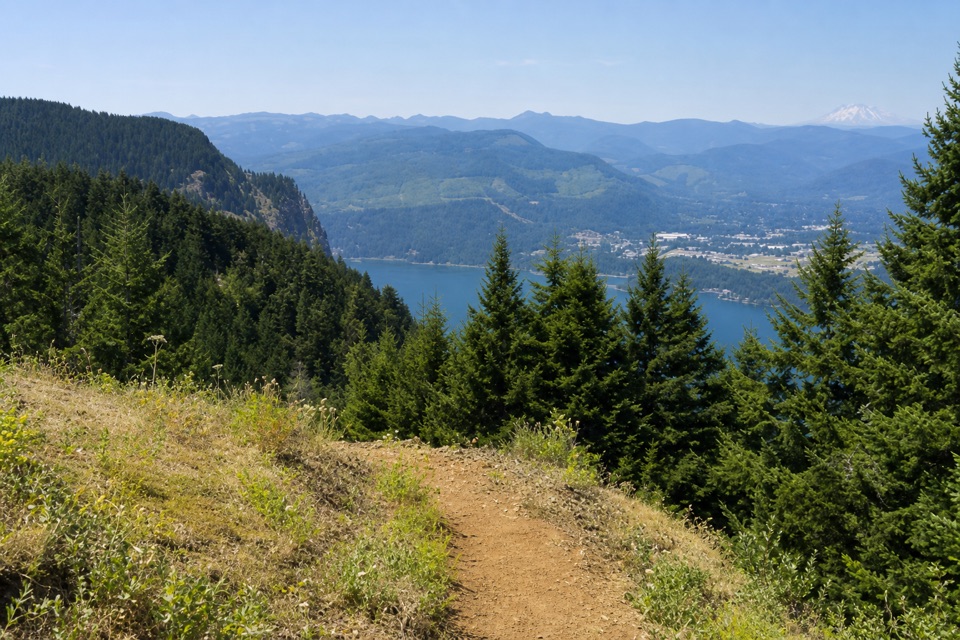 ChallengingNorth Lake via Wyeth Trail12.5 mi · 9 hr · At the trailheadA steep climb through fire-opened slopes ends at a headwater lake.
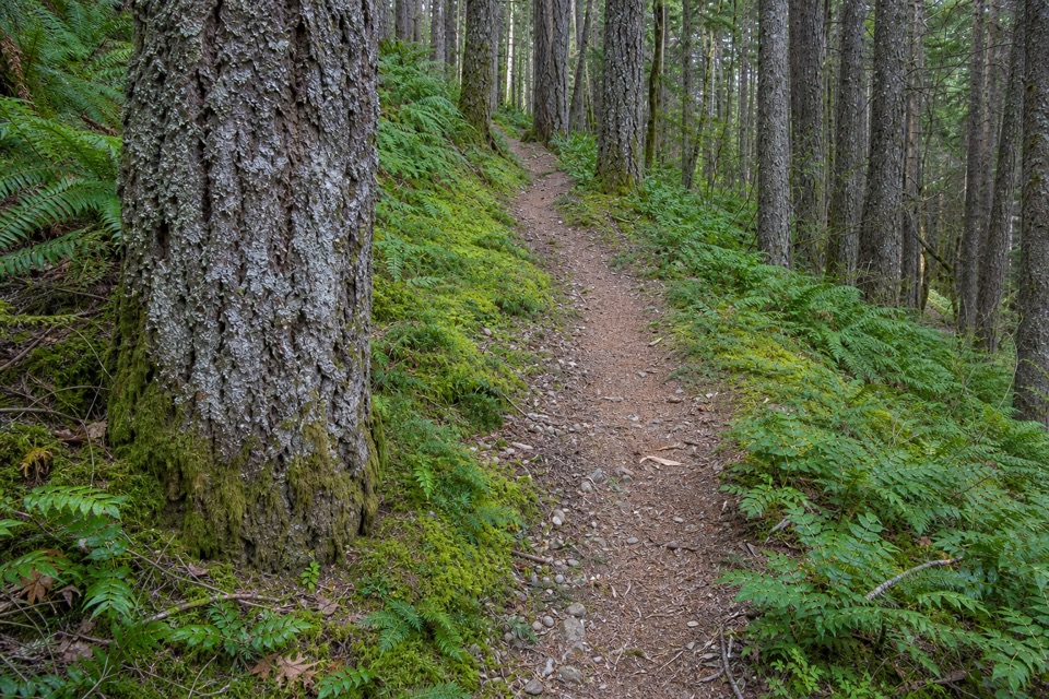 ChallengingWyeth Trail #4117.3 mi · 8 hr · At the trailheadA steep 7.3-mile climb from old forest into Eagle Creek fire scar.
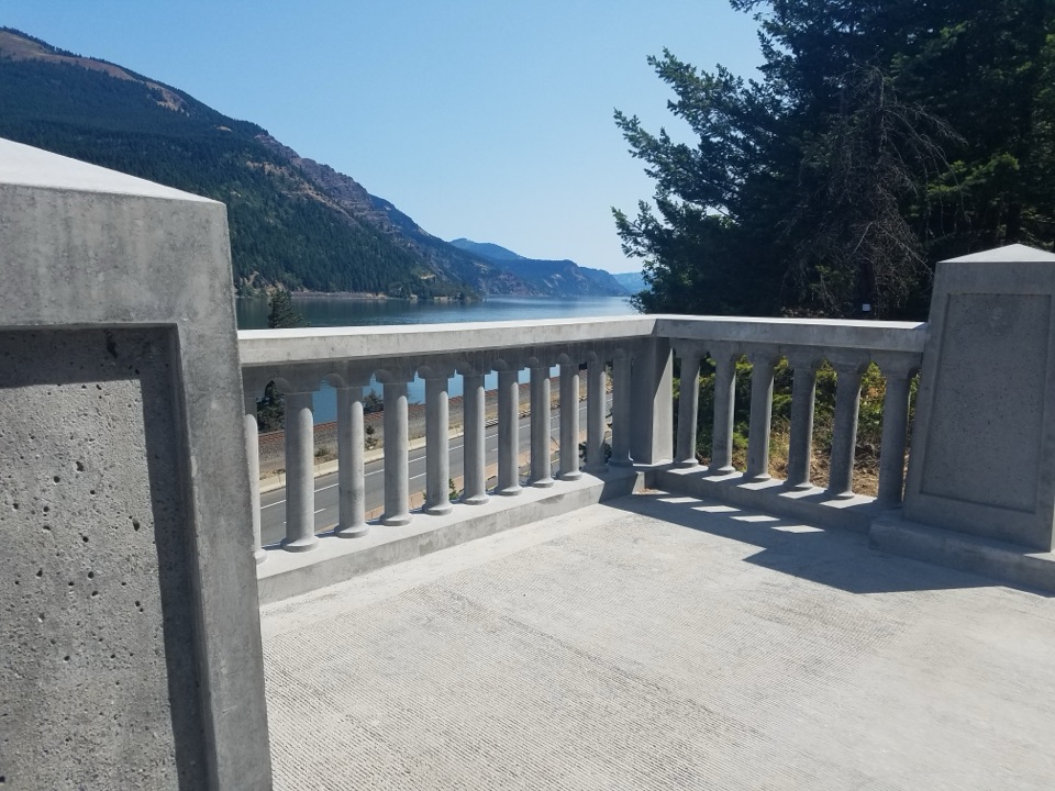 EasyHistoric Columbia River Highway State Trail: Wyeth to Viento5.8 mi · 2.8 hr · 0.2 mi awaySix paved miles past viaducts and waterfalls along the Gorge.
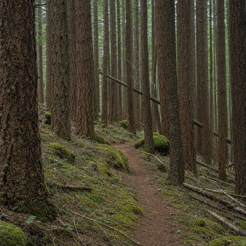 ChallengingDeadwood Trail #4220.5 mi · 1.3 hr · 1.3 mi awayA faint wilderness link between two longer routes.
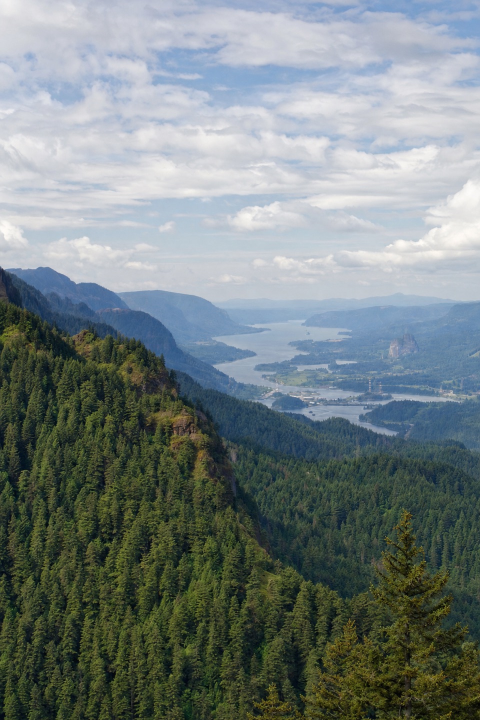 ChallengingNick Eaton Trail4.1 mi · 4 hr · 2.7 mi awayA steep, fire-scarred climb to a rocky ridge high above the Gorge.
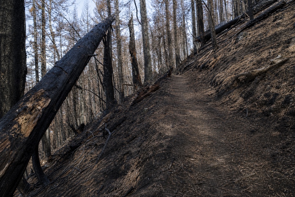 ChallengingGorton Creek Trail #4089.1 mi · 12 hr · 2.8 mi awayA steep one-way wilderness route with brushy tread beyond Deadwood.
 ChallengingDog Mountain Loop6.9 mi · 5 hr · 3.2 mi awaySpring balsamroot and a serious climb above the Columbia.
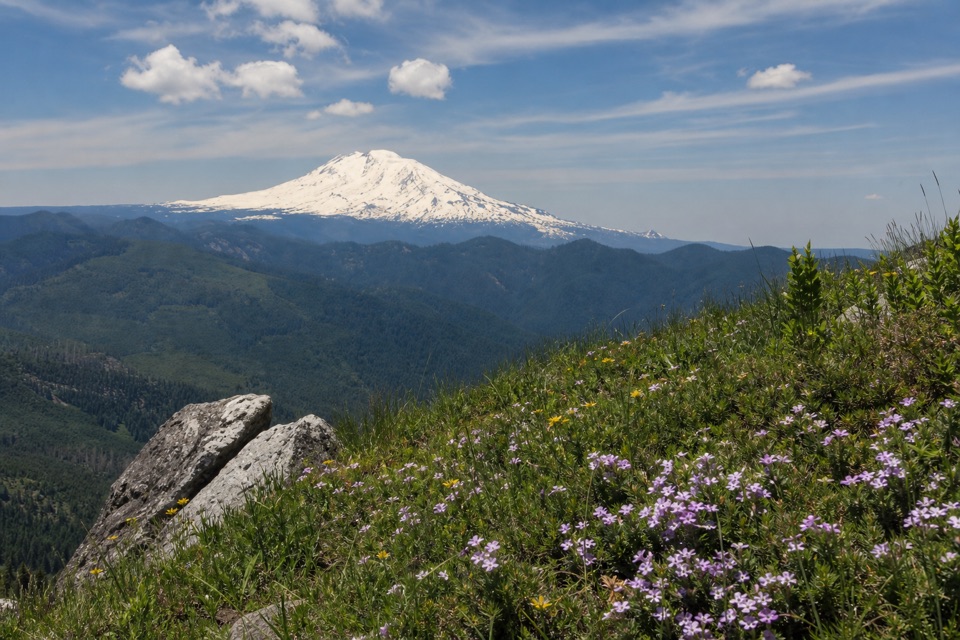 ChallengingAugspurger Mountain Trail12.5 mi · 9 hr · 3.2 mi awayThe summit is wooded; keep going to the open ridge.
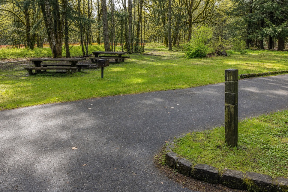 Campground · 0.1 mi awayWyeth CampgroundPaved bike trail rides start right beside this wooded campground.
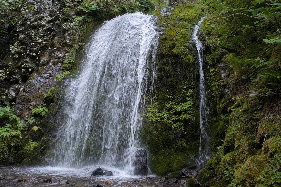 Sight · 3.2 mi awayLancaster FallsThe trail-side view catches only the lowest cascade.
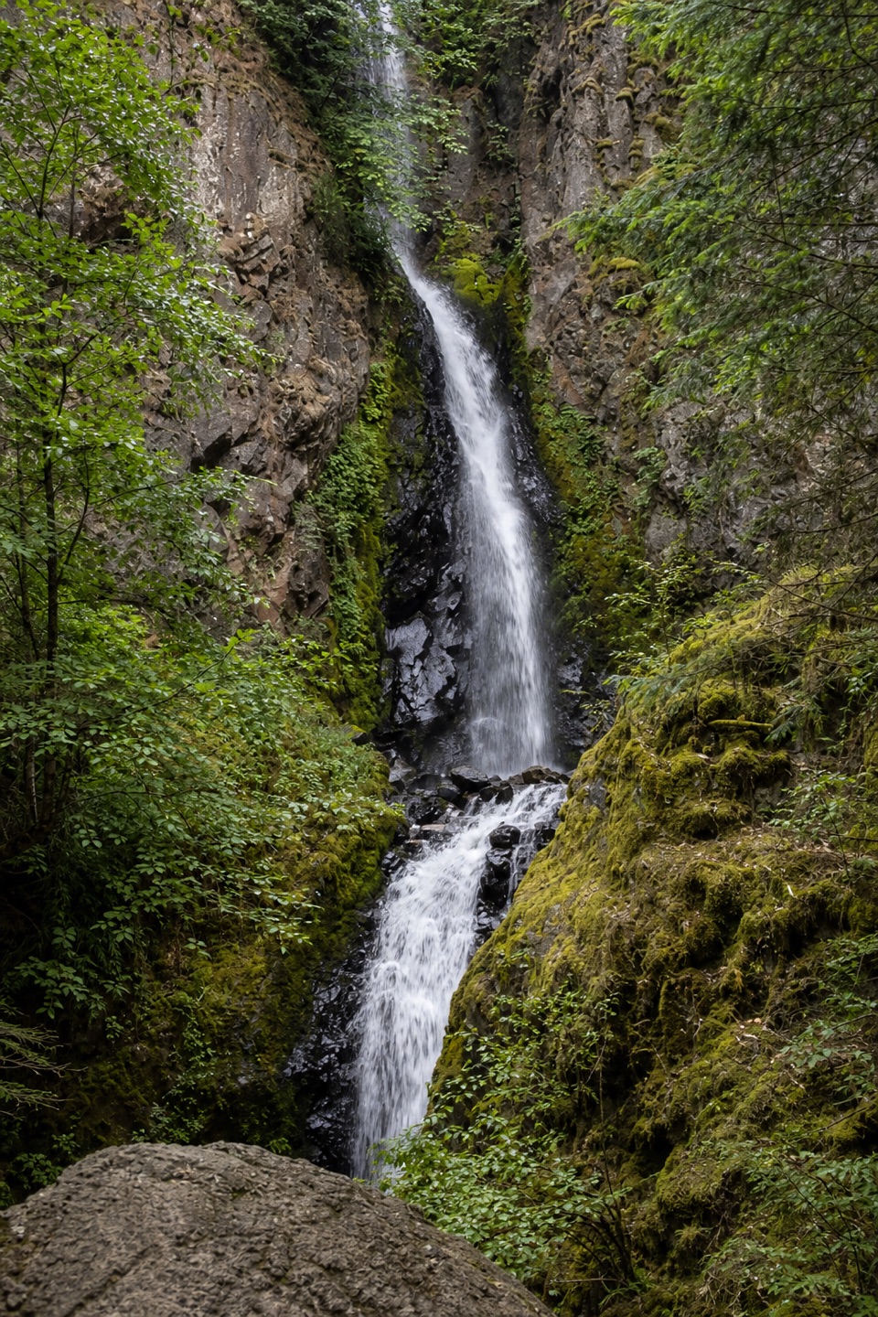 Sight · 3.4 mi awayHole-in-the-Wall FallsA paved path reaches a waterfall created to save the highway.
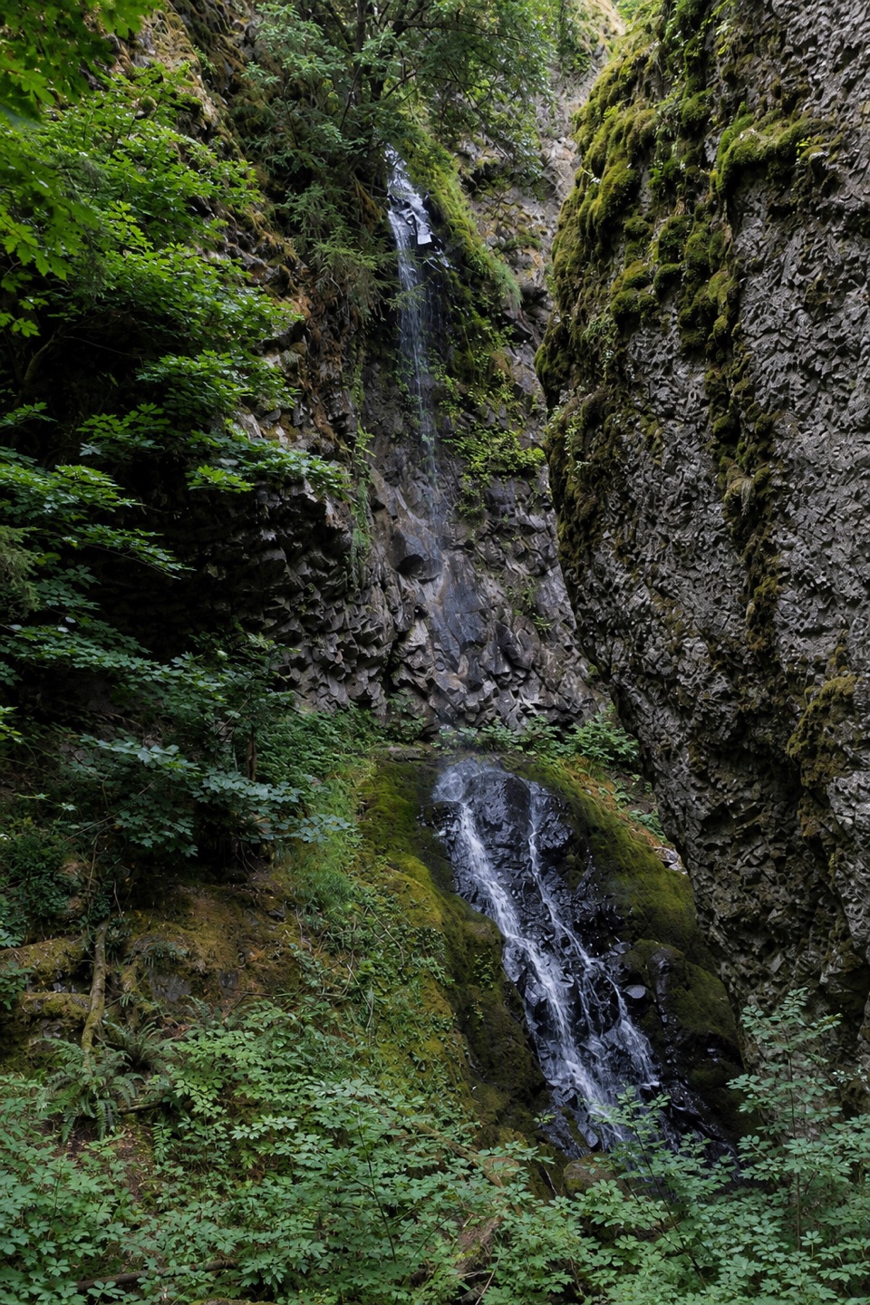 Sight · 3.6 mi awayCabin Creek FallsA two-tier fall threads through a mossy basalt cleft.
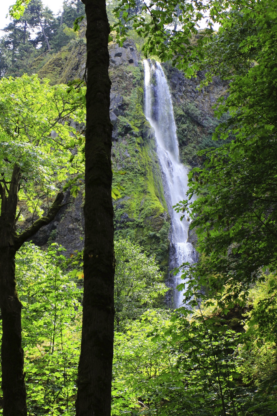 Sight · 4 mi awayStarvation Creek FallsA short walk to a waterfall with a story of snowbound trains.
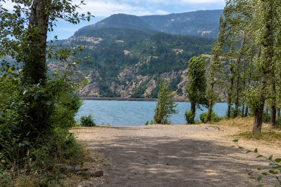 Campground · 4.9 mi awayViento State Park & CampgroundCamp beside the Columbia, with an accessible trail to waterfalls.
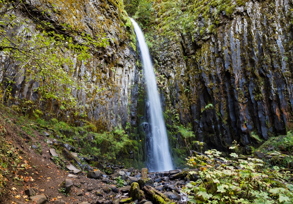 Sight · 5.1 mi awayDry Creek FallsA basalt cleft waterfall beside old concrete diversion works.
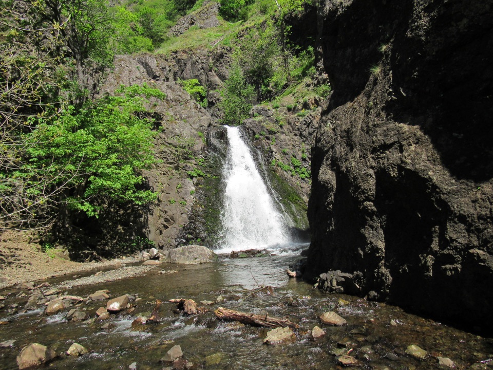 Sight · 5.1 mi awayDog Creek FallsA quick roadside stop for a waterfall and its small canyon.
Parkwolf’s Columbia River Gorge ranking

The audio tour guide for the drive, plus offline maps, trails, and wildlife heatmaps for when the signal drops.




