Parking
Start at Wyeth Trailhead just west of Wyeth Campground, where parking is free. Viento State Park is the east end and has fee-required day-use parking. This is a point-to-point route, so arrange a ride back or walk the route twice.
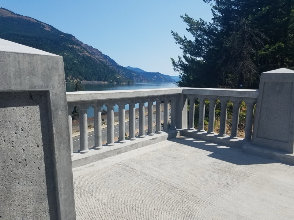
Columbia River Gorge National Scenic Area, OR · WA
Six paved miles past viaducts and waterfalls along the Gorge.
Overview
Map & elevation
Plan your hike

The highest, rockiest slopes around here are a summer buffet for grizzly bears.
Columbia River Gorge Tour Guide
Parkwolf is a GPS audio tour guide for Columbia River Gorge National Scenic Area. As you drive, it chimes in with what’s ahead: hidden gems, upcoming stops, history, geology, and wildlife, right through your car’s speakers.
Recorded for this trailhead
Mitchell Point Tunnel“Up ahead is the access for Mitchell Point Tunnel, a short paved walk through the cliff rather than a drive-through tunnel. Five arched windows frame the Columbia and Washington hills.”
Plays as you drive up to this trailhead in the Parkwolf Columbia River Gorge Tour Guide.
More stories near here in the app
“Fantastic app with many points of information… It’s great to just turn on while you’re driving and it gives you an audio tour of the national Park. We love it!!!!”


Trail guide
The Mitchell Point segment of the Historic Columbia River Highway State Trail is a 5.8-mile point-to-point walk from Wyeth Trailhead to Viento State Park. Its paved shared-use path passes forest, a talus slope, a long viaduct and several waterfalls. Allow about two and a half to three hours one way; without a ride from Viento, walking back makes it about 11.6 miles total.
For its first mile the route threads through trees, then crosses Shellrock Mountain’s talus slope behind rockfall fences. It climbs east over the 500-foot-long Summit Creek Viaduct and the Mossy Road, a stretch of historic highway that spent decades moss-covered before being cleared. The Lindsey Creek Bench Cut opens onto the Columbia Gorge; later come Hole-in-the-Wall Falls, Cabin Creek Falls and Starvation Creek Falls. Hole-in-the-Wall pours from a diversion tunnel. Starvation Creek, about 4.6 miles from Wyeth, has a restroom and picnic tables. At the concrete overlook, frame the river through the pillars.
Start at Wyeth Trailhead, just west of Wyeth Campground, with free parking, a vault toilet and water fill. Viento is the east end and has fee-required day-use parking; arrange a pickup or walk back. Bicycles and permitted e-bikes share the pavement, and sections run beside I-84. Dogs are allowed on a leash no longer than six feet.
Wildlife
 267 sightingsBald EagleMost seen around 7 AMSighting map
 51 sightingsBlack BearMost seen around 7 PMSighting map
 136 sightingsAmerican PikaMost seen around 8 AMSighting map
 16 sightingsWapitiMost seen around 7 AMSighting map
 195 sightingsMule DeerMost seen around 7 AMSighting map
 74 sightingsChinook SalmonMost seen around 6 PMSighting map
Sighting maps show where each species has been reported across Columbia River Gorge. Wildlife moves, so no sighting is guaranteed.
Keep exploring
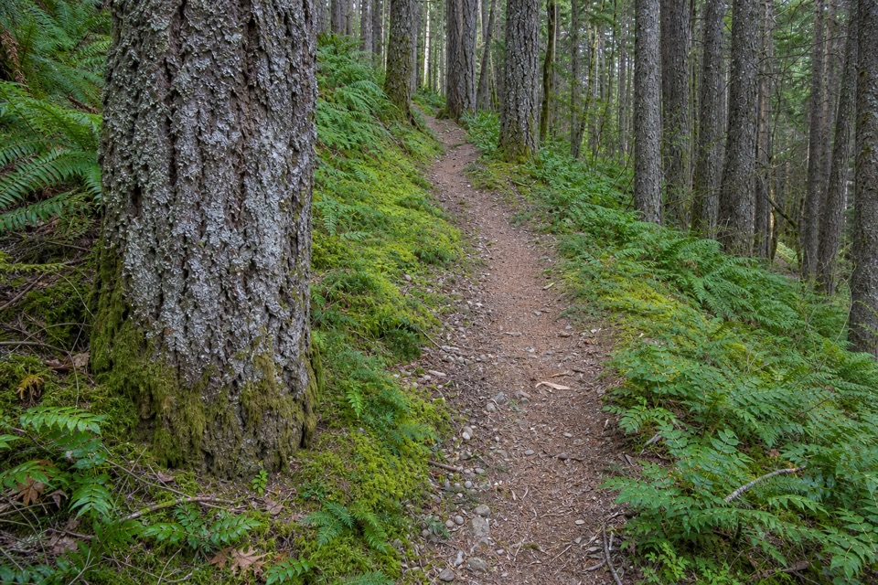 ChallengingWyeth Trail #4117.3 mi · 8 hr · 0.1 mi awayA steep 7.3-mile climb from old forest into Eagle Creek fire scar.
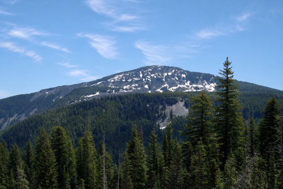 ChallengingGreen Point Ridge Loop15 mi · 11 hr · 0.2 mi awayA steep ridge loop with North Lake and wide Gorge views.
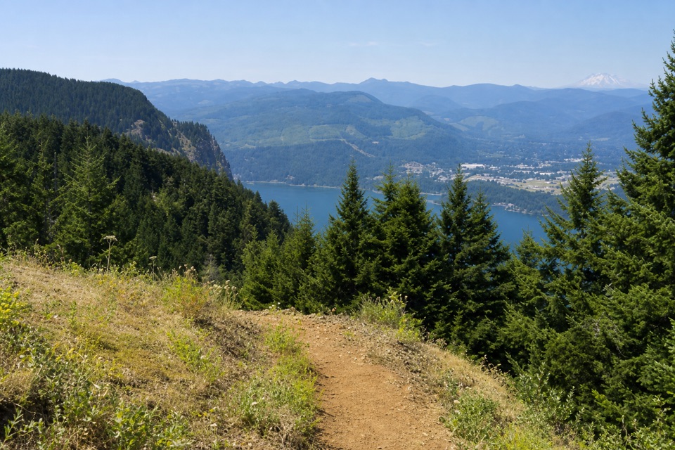 ChallengingNorth Lake via Wyeth Trail12.5 mi · 9 hr · 0.2 mi awayA steep climb through fire-opened slopes ends at a headwater lake.
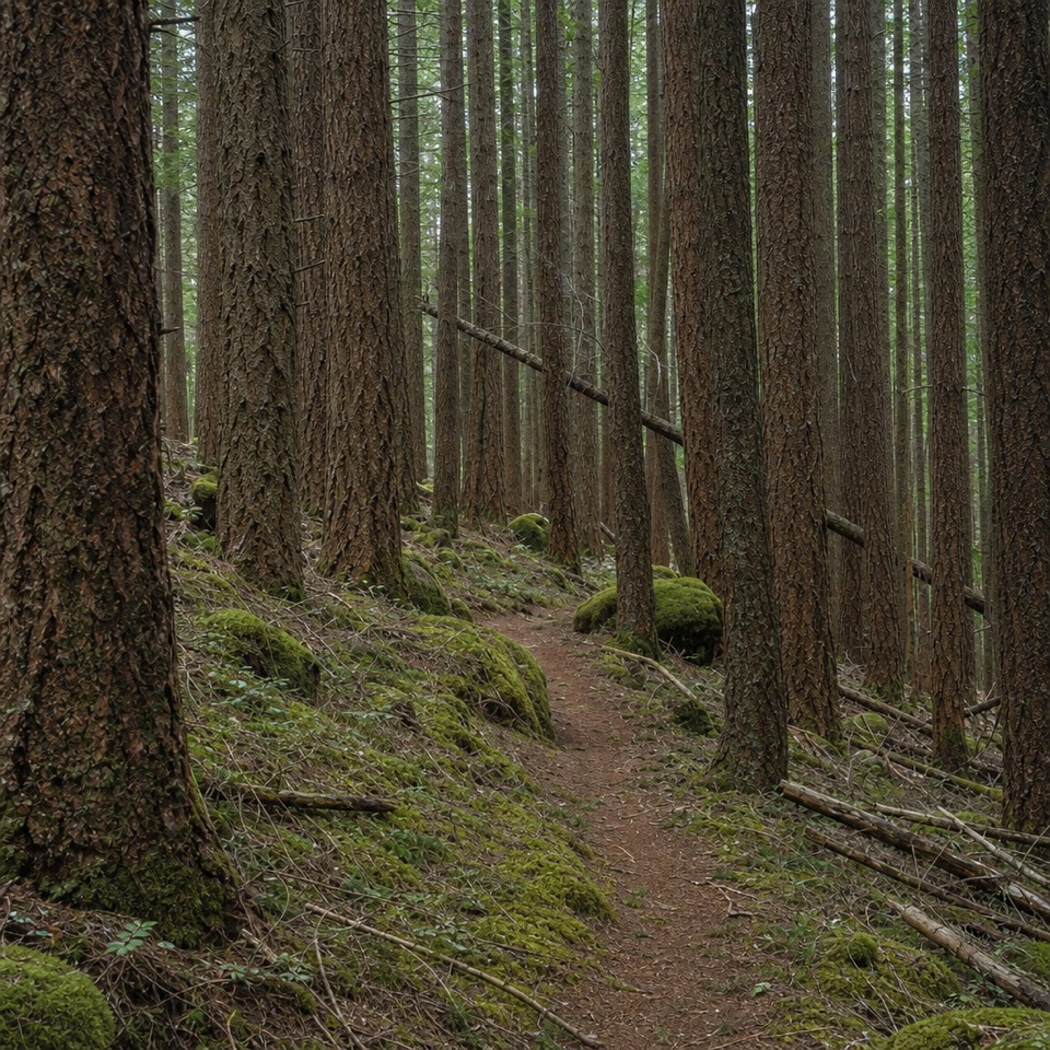 ChallengingDeadwood Trail #4220.5 mi · 1.3 hr · 1.3 mi awayA faint wilderness link between two longer routes.
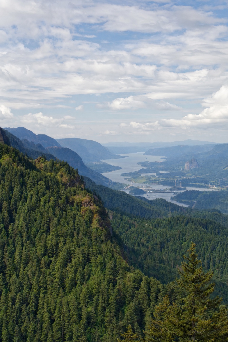 ChallengingNick Eaton Trail4.1 mi · 4 hr · 2.7 mi awayA steep, fire-scarred climb to a rocky ridge high above the Gorge.
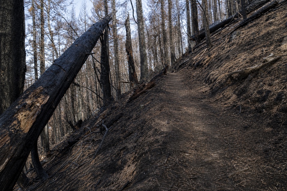 ChallengingGorton Creek Trail #4089.1 mi · 12 hr · 2.8 mi awayA steep one-way wilderness route with brushy tread beyond Deadwood.
 ChallengingDog Mountain Loop6.9 mi · 5 hr · 3.2 mi awaySpring balsamroot and a serious climb above the Columbia.
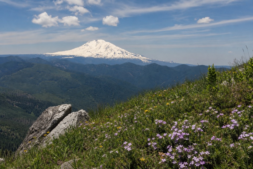 ChallengingAugspurger Mountain Trail12.5 mi · 9 hr · 3.2 mi awayThe summit is wooded; keep going to the open ridge.
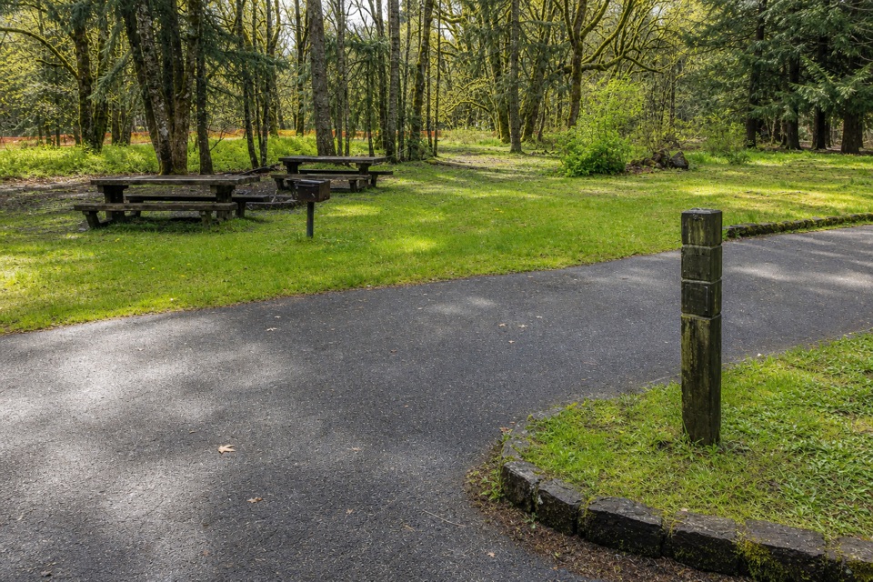 Campground · 0.1 mi awayWyeth CampgroundPaved bike trail rides start right beside this wooded campground.
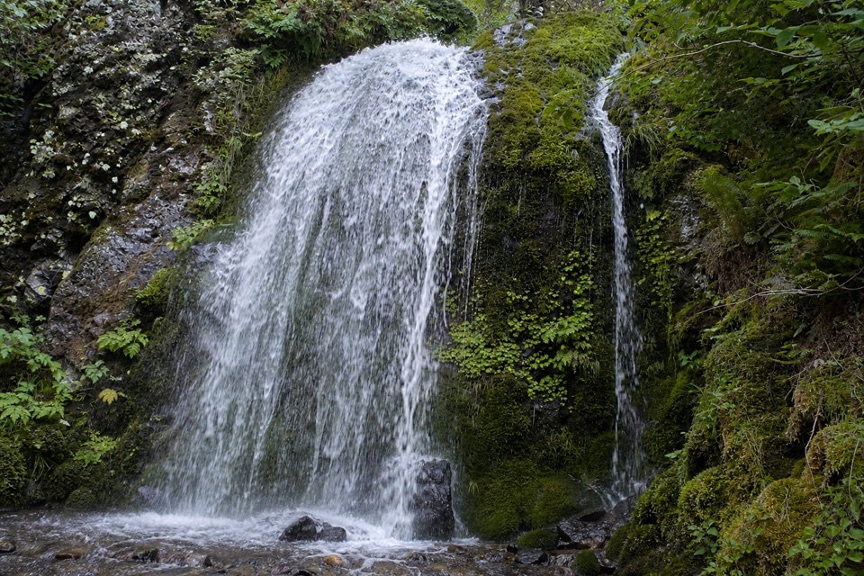 Sight · 3.3 mi awayLancaster FallsThe trail-side view catches only the lowest cascade.
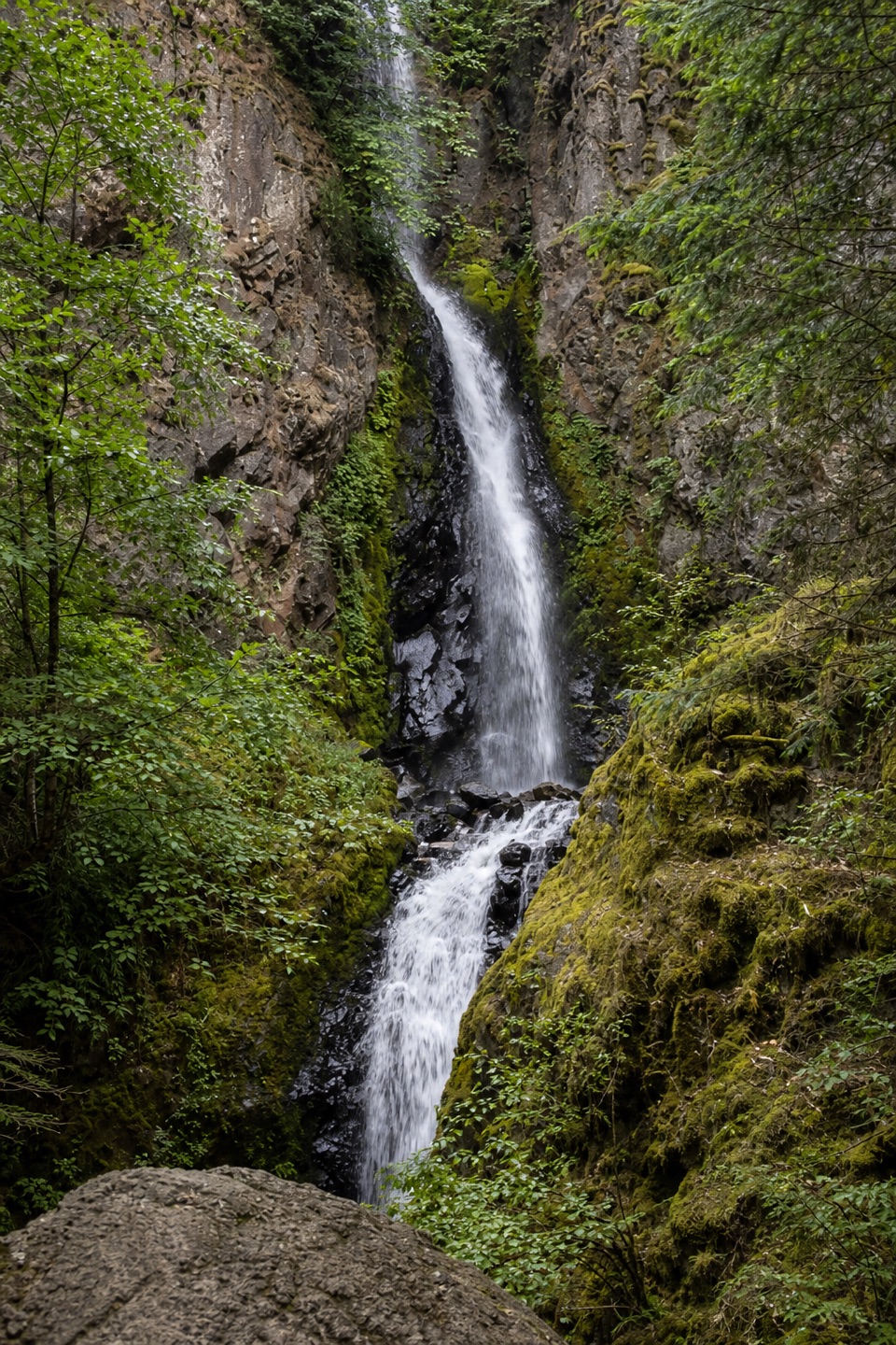 Sight · 3.5 mi awayHole-in-the-Wall FallsA paved path reaches a waterfall created to save the highway.
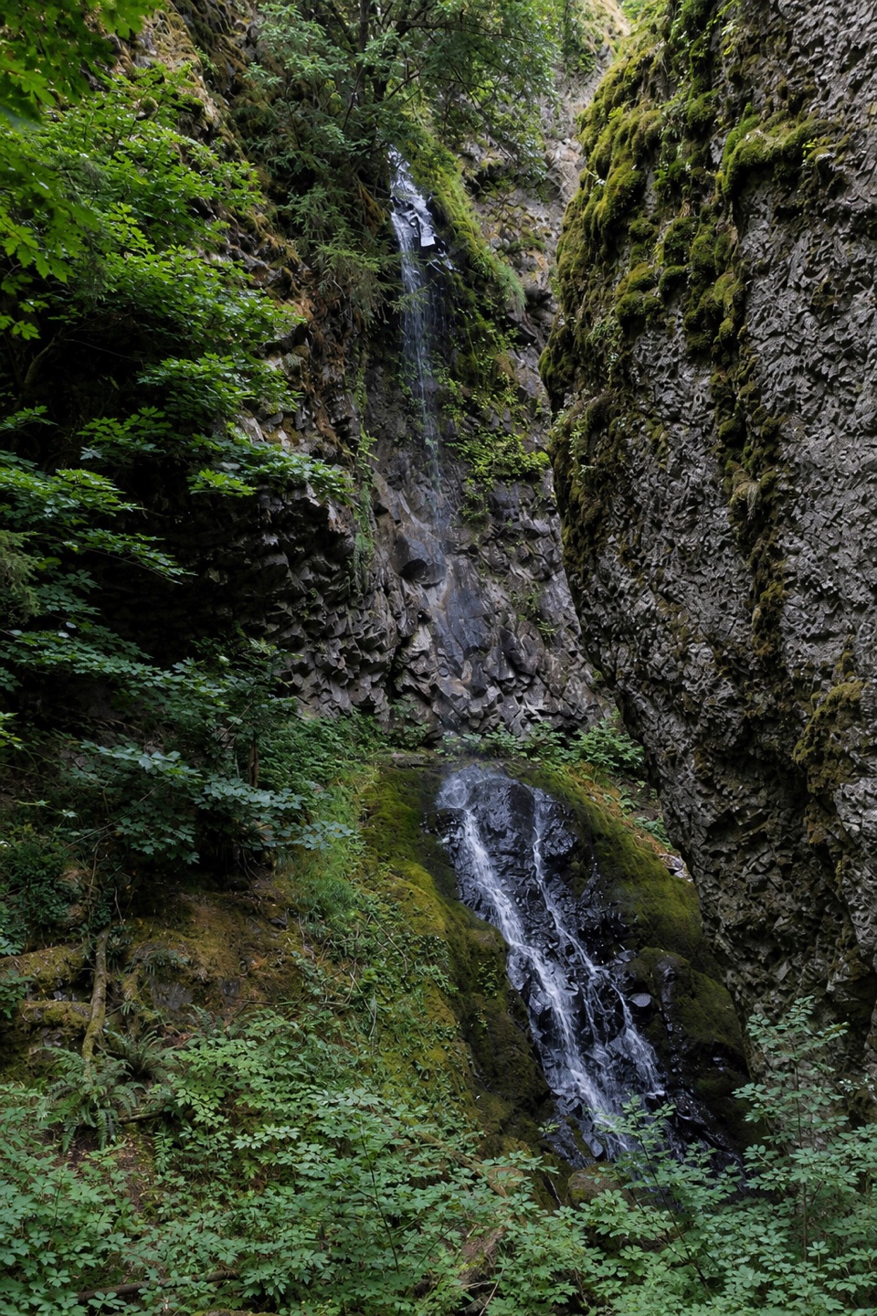 Sight · 3.7 mi awayCabin Creek FallsA two-tier fall threads through a mossy basalt cleft.
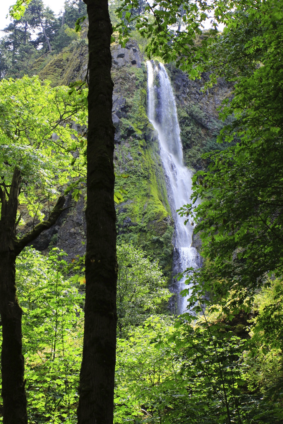 Sight · 4.1 mi awayStarvation Creek FallsA short walk to a waterfall with a story of snowbound trains.
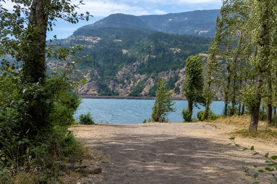 Campground · 5 mi awayViento State Park & CampgroundCamp beside the Columbia, with an accessible trail to waterfalls.
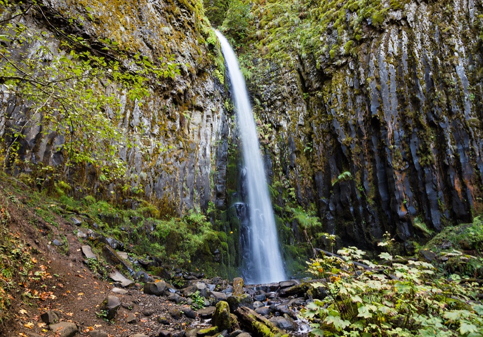 Sight · 5 mi awayDry Creek FallsA basalt cleft waterfall beside old concrete diversion works.
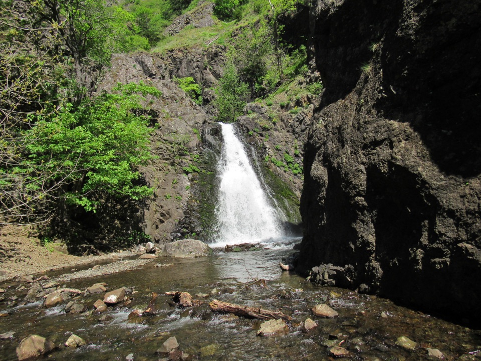 Sight · 5.1 mi awayDog Creek FallsA quick roadside stop for a waterfall and its small canyon.
Parkwolf’s Columbia River Gorge ranking

The audio tour guide for the drive, plus offline maps, trails, and wildlife heatmaps for when the signal drops.




