Wyeth Trail #411 in Columbia River Gorge National Scenic Area

Columbia River Gorge National Scenic Area, OR · WA

Wyeth Trail #411

A steep 7.3-mile climb from old forest into Eagle Creek fire scar.

Length
7.3mi
Time
8hr
Elev. change
3,812ft
Difficulty
Challenging
  • Dogs allowed
  • High point 4,075 ft

Hear the audio tour

Wyeth Campground and Trails

Overview

About Wyeth Trail #411

Why go

  • The shift from deep forest to open Gorge views keeps the climb varied.
  • North Lake and its historic outlet wall make a memorable landmark.

Heads up

  • About 4,000 feet of climbing makes this a hard full-day route.
  • The point-to-point route needs a shuttle or a longer return itinerary.

Map & elevation

The route

Loading the Columbia River Gorge map
Full map
Elevation262–4,075 ft
TrailheadWyeth/Gorton Creek Trailhead45.68765, -121.77186
Keep this map with you offline in the Parkwolf app

Plan your hike

Before you go

Parking

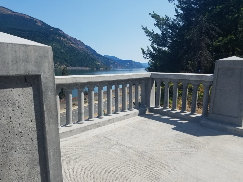
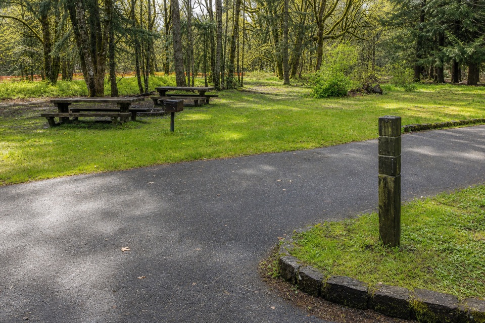
Wyeth/Gorton Creek Trailhead is at the back of Wyeth Campground, reached from I-84 Exit 51 via Wyeth Road; keep right past the first two campground loops. A day-use fee or valid recreation pass is required. The other end is the Mount Defiance South Trailhead on Forest Road 2820 (Dead Point Road), a rough, dusty road with a 4–5-car pullout; plan the shuttle before hiking. From October to May the campground gate is closed, so hikers walk in from the Historic Columbia River Highway trailhead.


Safety

Hard, sustained climbing with about 4,000 feet of gain; steep switchbacks, loose scree, creek crossings and poison oak along parts of the tread.

8 active Columbia River Gorge alerts

  • ClosureEagle Creek Fire area closureMentions Eagle Creek Fire, referenced in this guideDo not enter Oneonta Gorge or the specified trail sections because hazards remain following the Eagle Creek Fire.Official details
  • CautionAircraft and drone restrictions at developed recreation sitesAircraft and drone landings, drop-offs, and pickups are prohibited at six high-use developed recreation sites to protect visitor safety.Official details
See all 8 alerts
A park ranger sits on a dash-mounted phone, talking, as Parkwolf’s Tour Guide plays “Army Cutworm Moths: A Grizzly Bear Buffet” on Grand Loop Road below Dunraven Pass in Yellowstone
Parkwolf Tour GuideThe highest, rockiest slopes around here are a summer buffet for grizzly bears.

Columbia River Gorge Tour Guide

Your drive to Wyeth Trail #411, narrated.

Parkwolf is a GPS audio tour guide for Columbia River Gorge National Scenic Area. As you drive, it chimes in with what’s ahead: hidden gems, upcoming stops, history, geology, and wildlife, right through your car’s speakers.

Recorded for this trailhead

Wyeth Campground and Trails
0:00 / 0:26
“You're approaching the turnoff for Wyeth Campground, a small wooded base beside the paved Historic Columbia River Highway State Trail. I'd choose it if you've brought a bike: the ride starts right by camp.”

Plays as you drive up to this trailhead in the Parkwolf Columbia River Gorge Tour Guide.

More stories near here in the app

  • The Dots Beneath a Sword Fern
  • The Color on Bare Rock
  • A Bridge Over Land
  • The Slug’s Scraping Teeth
  • 217 audio storiesacross Columbia River Gorge’s roads, triggered by GPS as you drive
  • Wildlife heatmapsfor Bald Eagle, Black Bear, American Pika, and 13 more
  • Works offlinemaps, 111 trails, 78 places, and audio download before you lose signal
  • CarPlay readysimple controls built for the drive
★★★★★
“Fantastic app with many points of information… It’s great to just turn on while you’re driving and it gives you an audio tour of the national Park. We love it!!!!”
JMJamesApp Store review
Download Parkwolf on the App StoreGet Parkwolf on Google Play

4.7 from 8,600+ ratings

Trail guide

Hiking Wyeth Trail #411

The one-way routeWyeth Trail 411 is a 7.

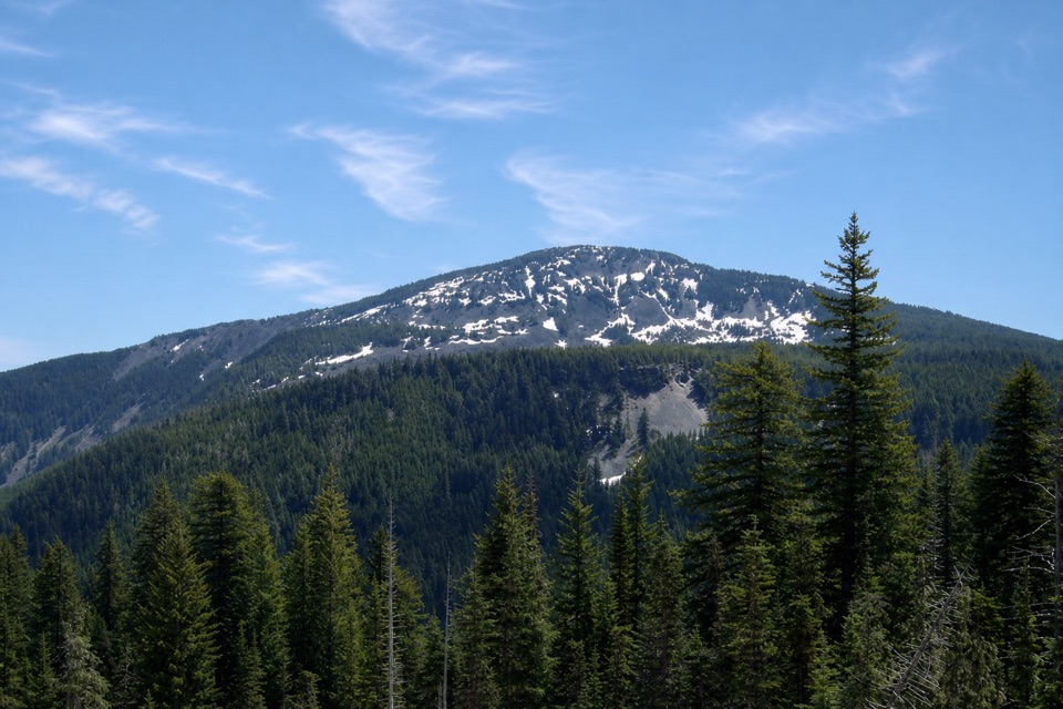
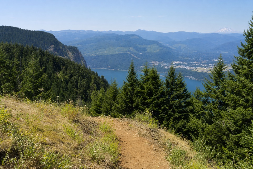
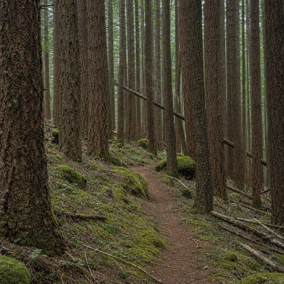
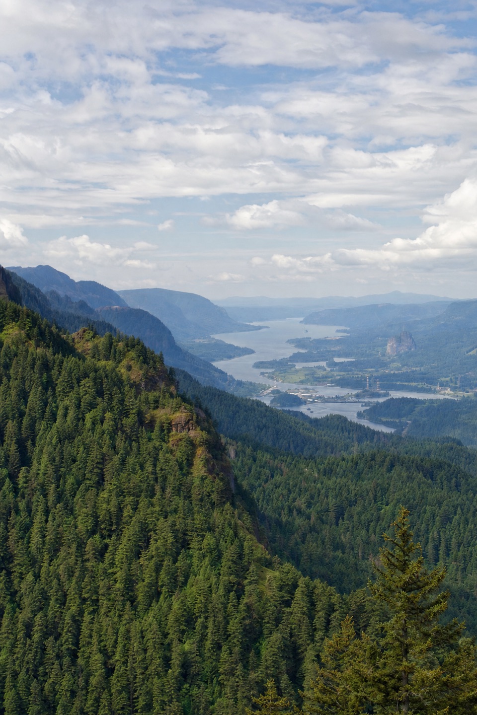
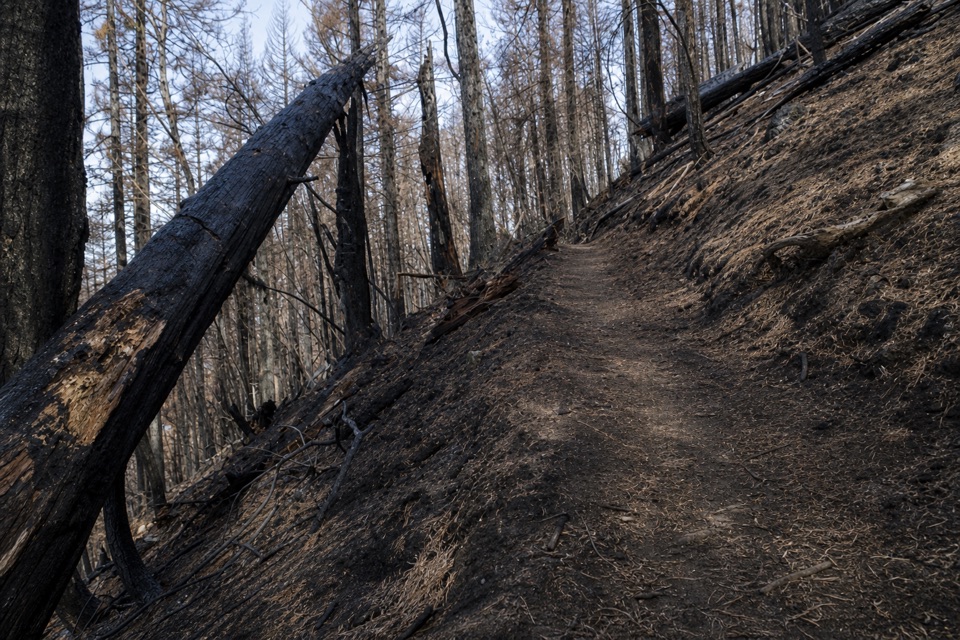
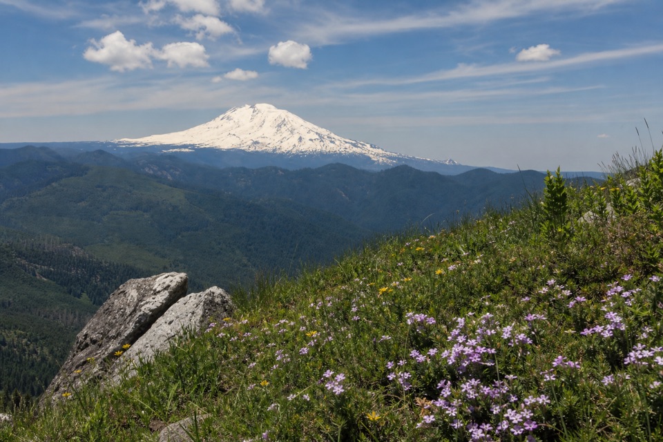
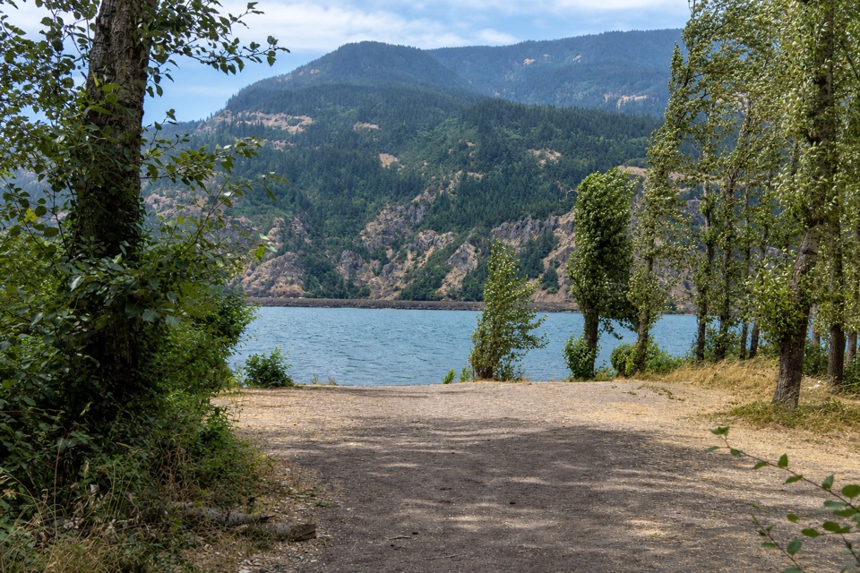
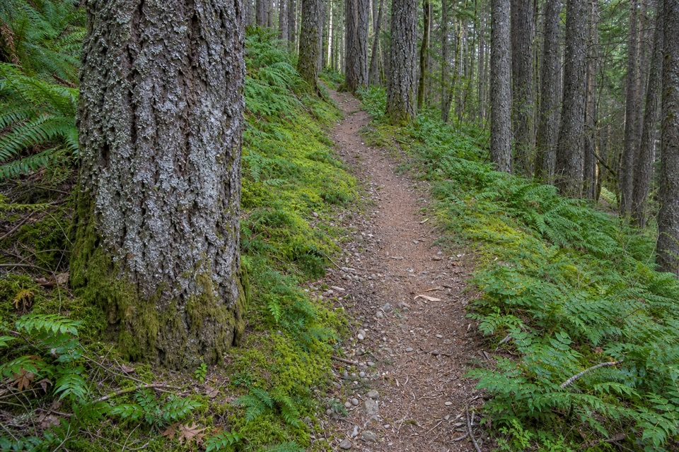
Wyeth Trail #411 is a 7.3-mile point-to-point hike from Wyeth/Gorton Creek Trailhead to Mount Defiance South Trailhead. It gains about 4,000 feet and reaches roughly 4,100 feet, so allow a full day; my typical estimate is 7–9 hours with stops. The first mile climbs through Douglas-fir and bigleaf maple, then the trail enters Mark O. Hatfield Wilderness and heads into the Eagle Creek Fire scar. With the canopy opened, the trail earns wide views across the Columbia Gorge toward Washington, Mount St. Helens and Mount Adams.

From burn to lakeExpect sustained climbing on an old road bed and long switchbacks.

Expect sustained climbing on an old road bed and long switchbacks. The route crosses a small scree slope and creek and spring areas, with brush and poison oak beside parts of the tread. Past Green Point Ridge, the route leaves the fire zone for silver-fir and noble-fir woods, crosses talus with a view toward Mount Defiance, and drops through older conifers before climbing past Lindsey Creek to North Lake. The trail continues beyond the lake to its southern end. North Lake's earthen outlet wall was built in the early twentieth century to raise it as a log pond; flumes once carried timber to Stanley-Smith Lumber Mill at Kingsley.

Access and effortThe full route is one-way, not a loop.

The full route is one-way, not a loop. Plan a vehicle shuttle between the campground start and the Mount Defiance South pullout on Forest Road 2820. The road is rough and dusty, with a 4–5-car pullout. Without a shuttle, the commonly described North Lake turnaround is a 12.8-mile out-and-back with 4,220 feet of gain. Reach the start from I-84 Exit 51 via Wyeth Road, then keep right past the first two campground loops. A day-use fee or valid recreation pass is required. From October through May, the campground gate is closed and hikers walk in from the Historic Columbia River Highway trailhead. Dogs are allowed on leash.

Wildlife

Wildlife in Columbia River Gorge

All Columbia River Gorge wildlife maps

Sighting maps show where each species has been reported across Columbia River Gorge. Wildlife moves, so no sighting is guaranteed.

Keep exploring

Near Wyeth Trail #411

See it all on the map

Trails that start nearby

Places near the trailhead

Parkwolf’s Columbia River Gorge ranking

Top-rated trails in Columbia River Gorge

All 111 trails
  1. 1Eagle Creek Trail #440 to Tunnel FallsChallenging · 11.7 mi
  2. 2Multnomah Falls Trail to the TopModerate · 2.4 mi
  3. 3Multnomah–Wahkeena Falls LoopChallenging · 4.8 mi
  4. 4Dog Mountain LoopChallenging · 6.9 mi
  5. 5Angel's Rest TrailModerate · 4.8 mi
  6. 6Cape Horn Loop TrailChallenging · 6.5 mi

Take Parkwolf to Columbia River Gorge.

The audio tour guide for the drive, plus offline maps, trails, and wildlife heatmaps for when the signal drops.

4.7 from 8,600+ ratings

Download Parkwolf on the App StoreGet Parkwolf on Google Play