
All Columbia River Gorge trails
111 trails
 1Eagle Creek Trail #440 to Tunnel FallsFollow Eagle Creek past cliffside falls to a tunnel behind the water.
 2Multnomah Falls Trail to the TopClimb eleven switchbacks to a wooden overlook over the upper falls
 3Multnomah–Wahkeena Falls LoopA steep loop links Multnomah and Wahkeena with hidden cascades.
 4Dog Mountain LoopSpring balsamroot and a serious climb above the Columbia.
 5Angel's Rest TrailA steep climb to a rocky bluff above the Columbia Gorge.
 6Cape Horn Loop TrailWaterfalls and river views reward a steep, varied Gorge loop.
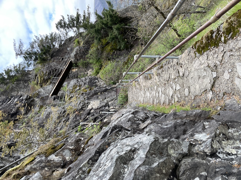 7Beacon Rock TrailFifty switchbacks turn a short climb into a Gorge overlook.
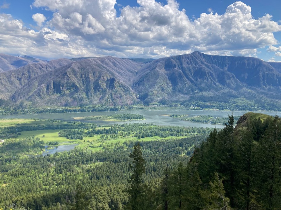 8Hamilton Mountain Summit LoopWaterfalls first, then a steep ridge climb and a big Gorge view.
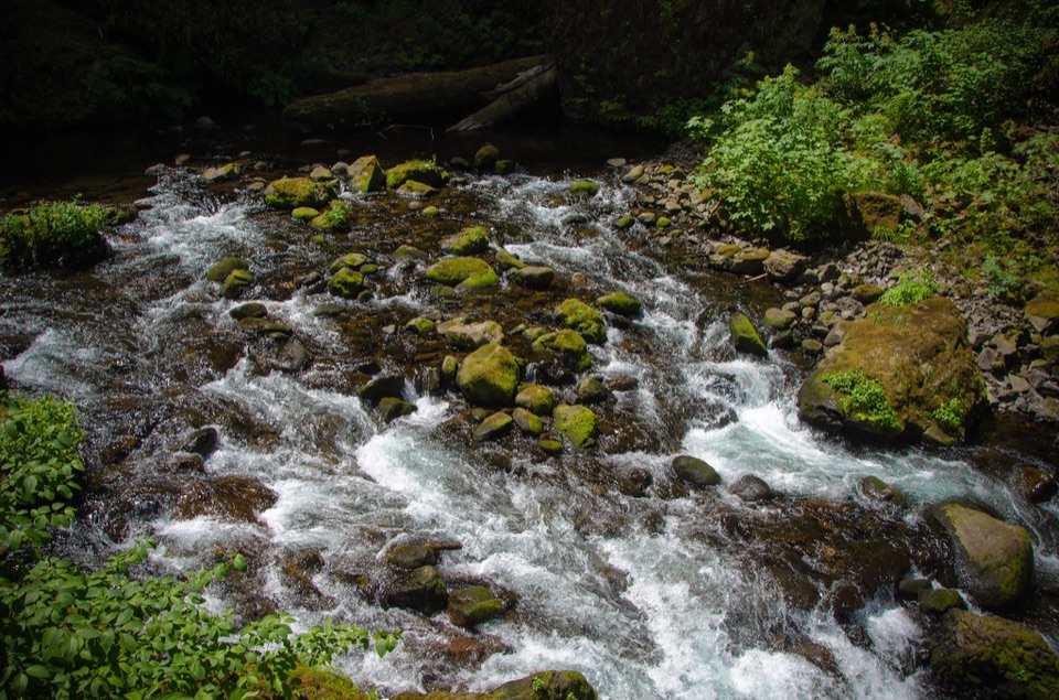 9Wahclella Falls TrailA shady creek walk, two waterfalls, and a real loop.
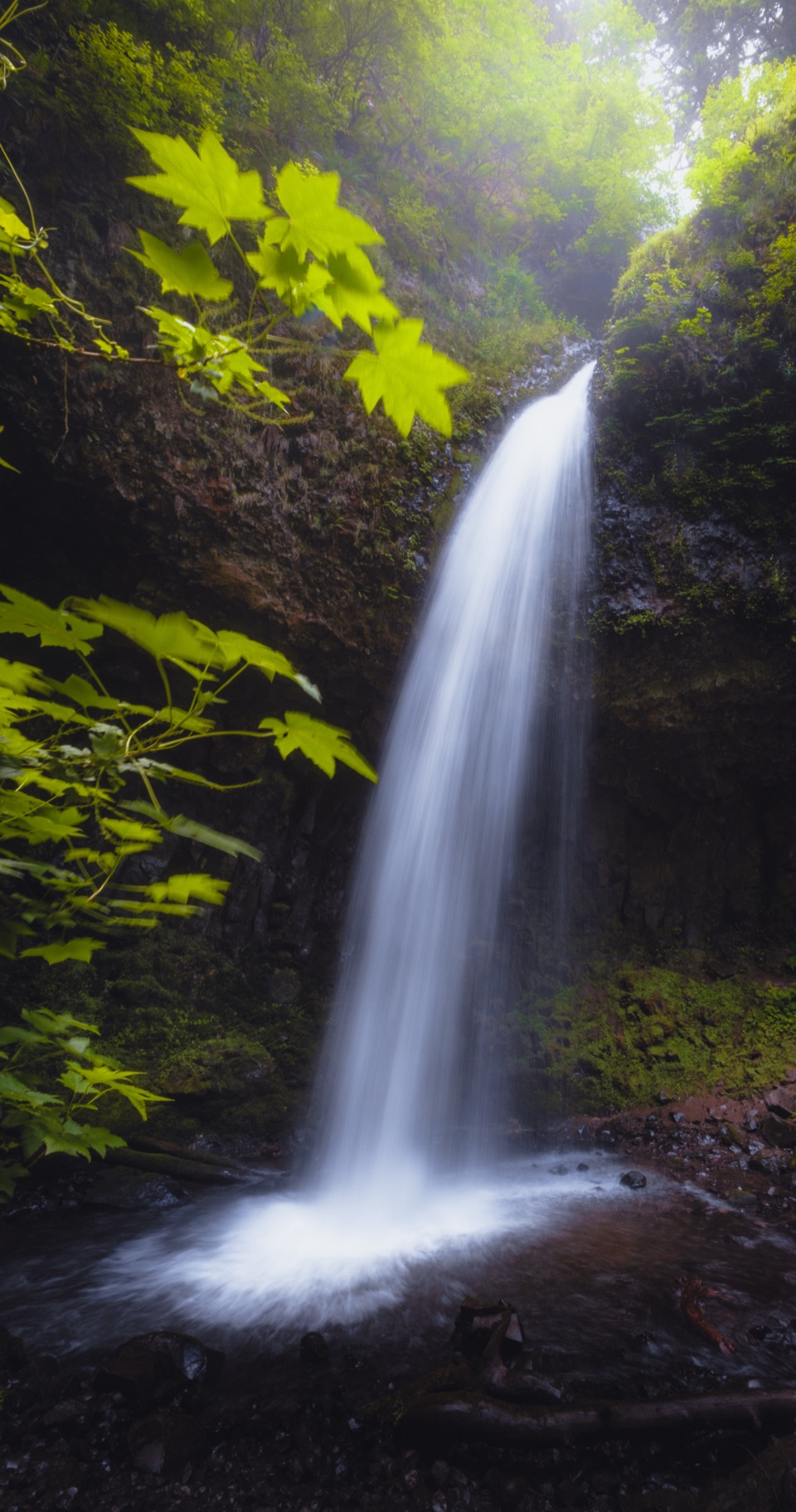 10Latourell Falls LoopFollow Latourell Creek to two waterfalls and a hidden upper drop.
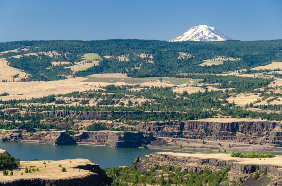 11Tom McCall Point TrailSpring flowers lead to a windy bluff with big Gorge views.
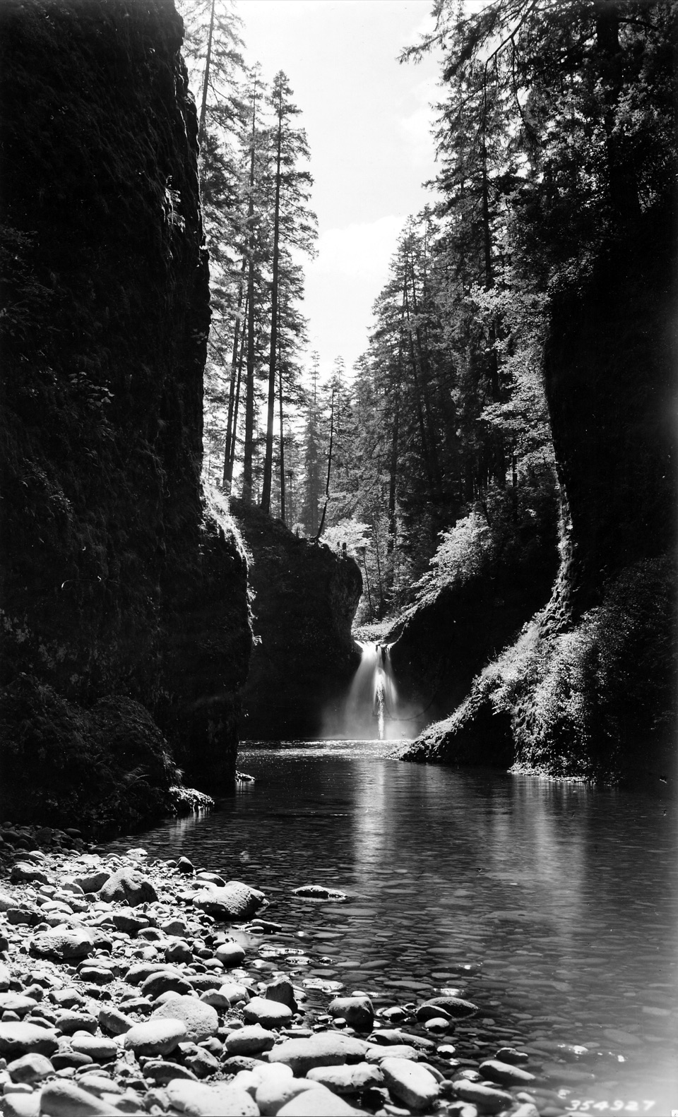 12Eagle Creek to Punch Bowl FallsA narrow, cabled path above Eagle Creek leads to the falls.
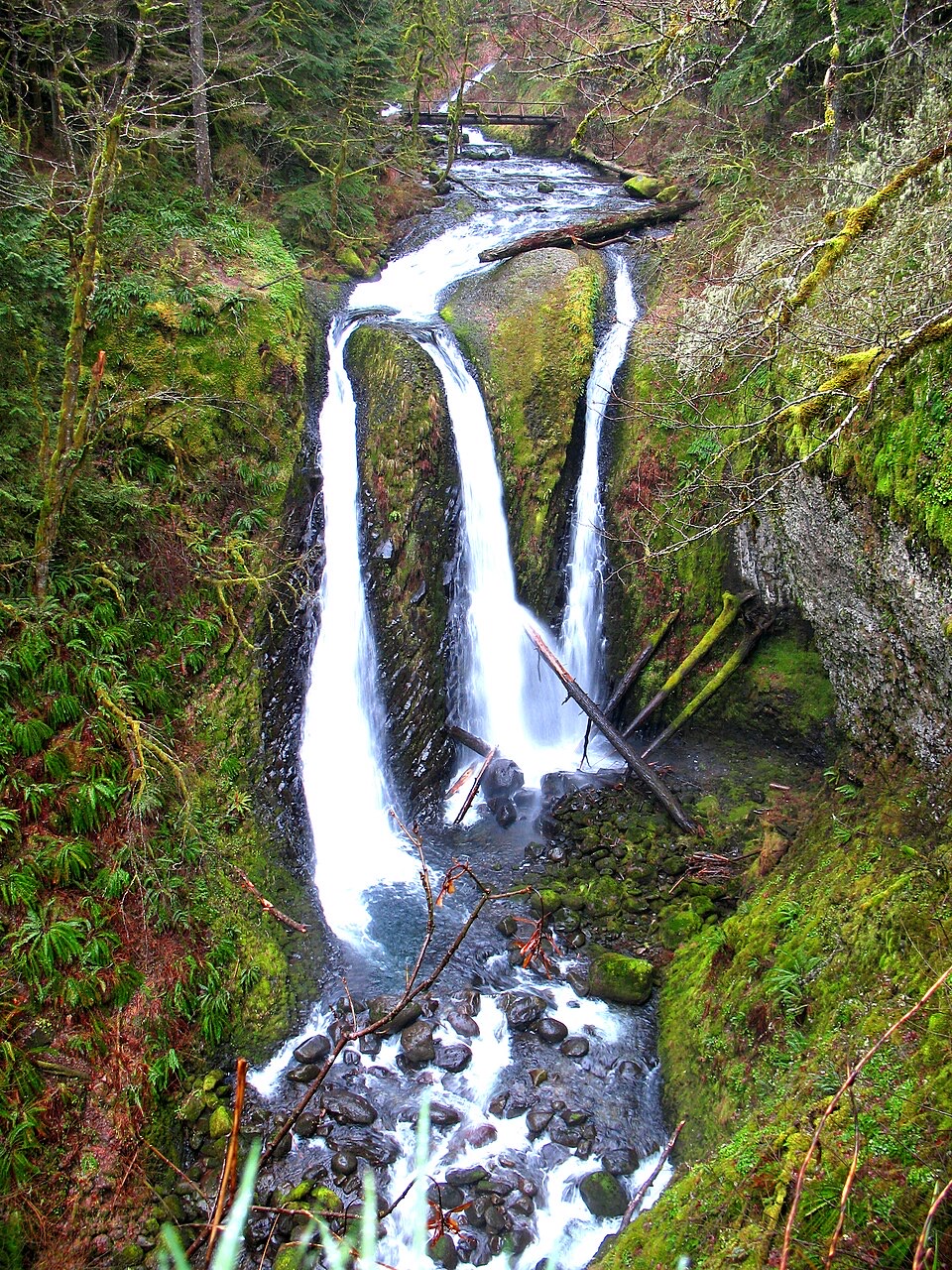 13Oneonta Trail to Triple FallsThree falls reward a rocky, exposed climb above Oneonta Creek.
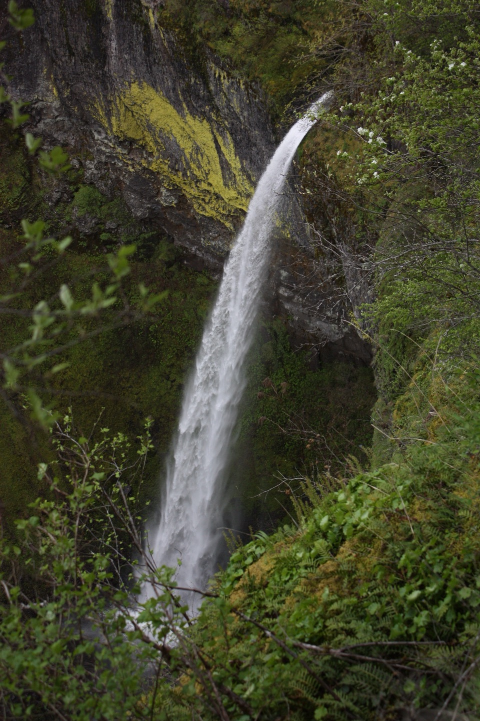 14Elowah Falls TrailA short, steep walk ends below a 213-foot waterfall.
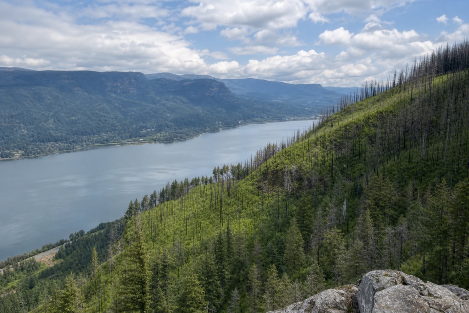 15Angel's Rest to Devil's Rest LoopA long Gorge loop from river views to a quieter forest summit.16Horsetail, Ponytail, & Triple FallsWalk behind one waterfall on your way to two more.
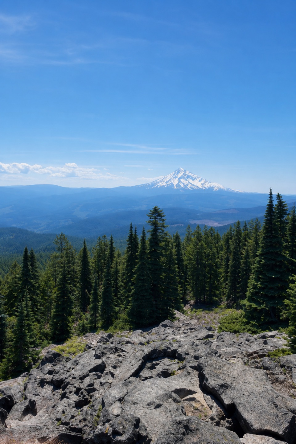 17Mount Defiance Trail to the SummitClimb 4,900 feet for the Gorge's highest summit.
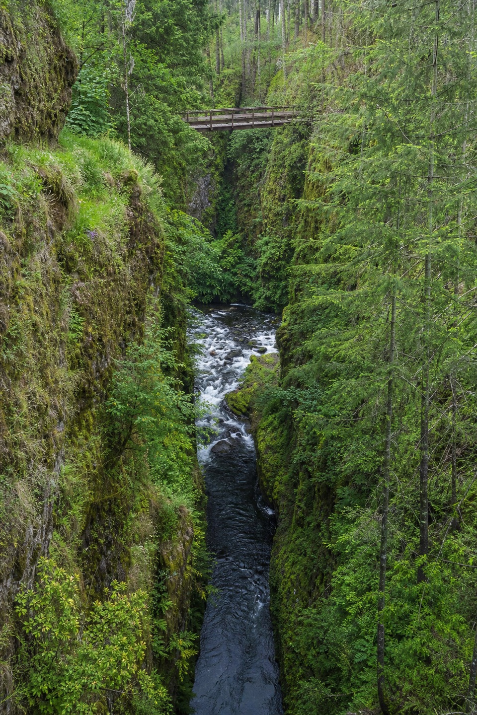 18Eagle Creek to High BridgeCabled cliff passages lead to waterfalls and a bridge over the gorge.
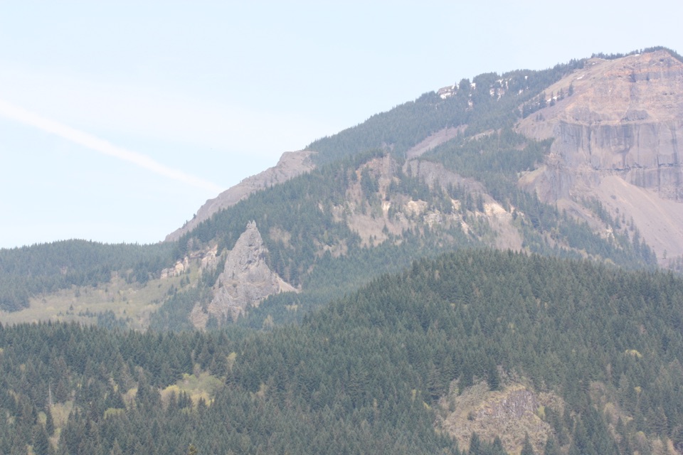 19Table Mountain – Heartbreak Ridge LoopSteep talus leads to sheer Gorge cliffs and a hard-earned summit.
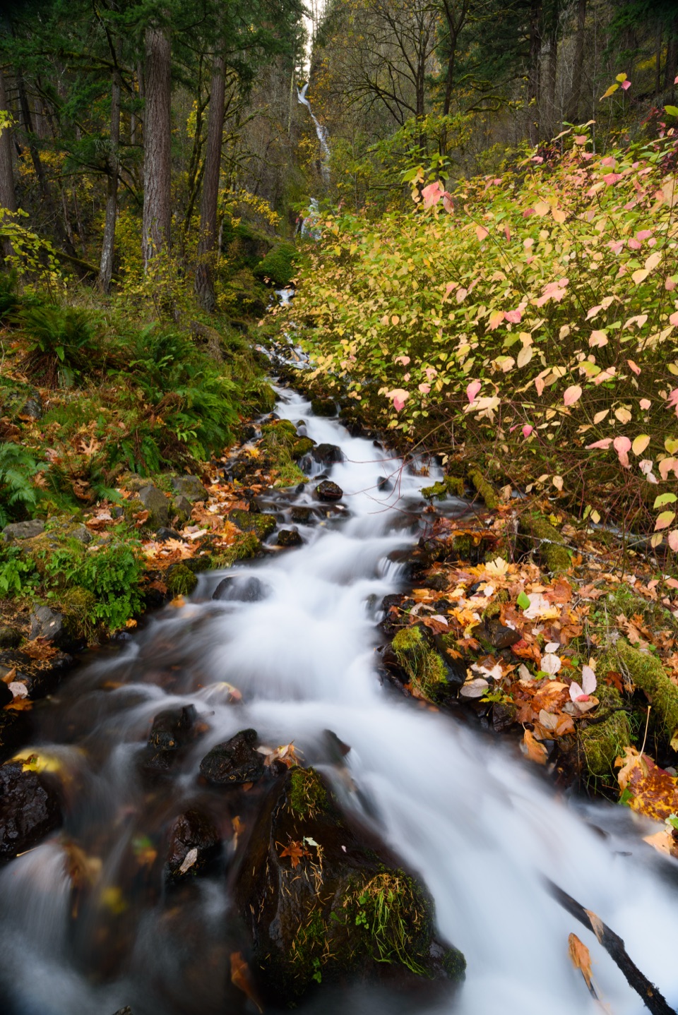 20Wahkeena Falls Trail to Lemmons ViewpointA stone bridge, plunging falls, and a Gorge overlook on one climb.
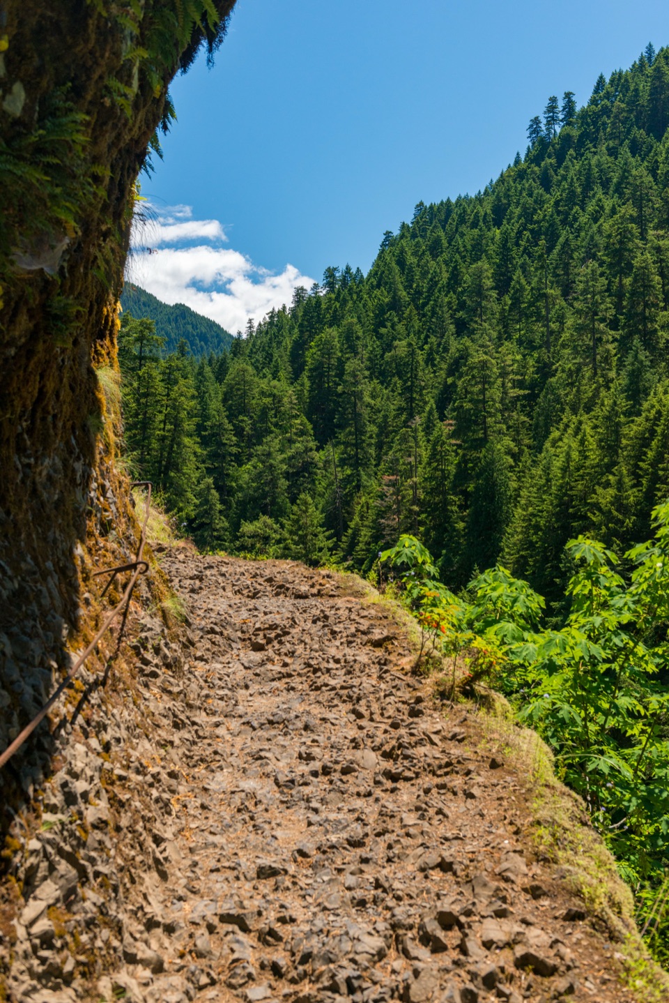 21Eagle Creek Trail #440 to Wahtum LakeFollow Eagle Creek’s cliffside trail to a high-country lake.
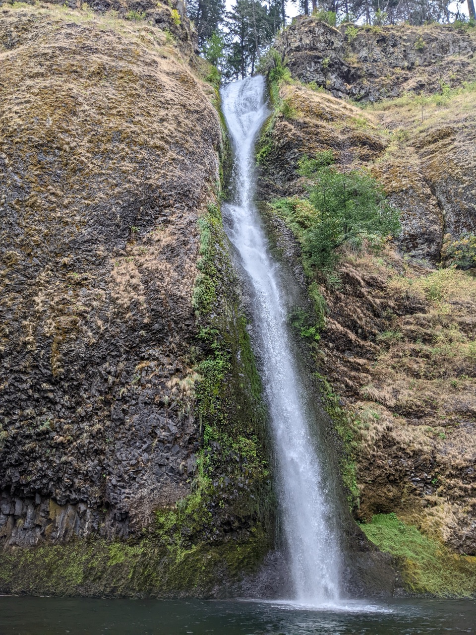 22Horsetail Falls LoopWalk behind Ponytail Falls, then follow Oneonta Creek back.
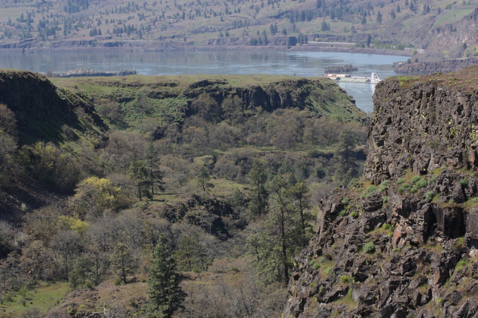 23Rowena Plateau LoopIce Age ponds, spring flowers and two big views from the plateau.
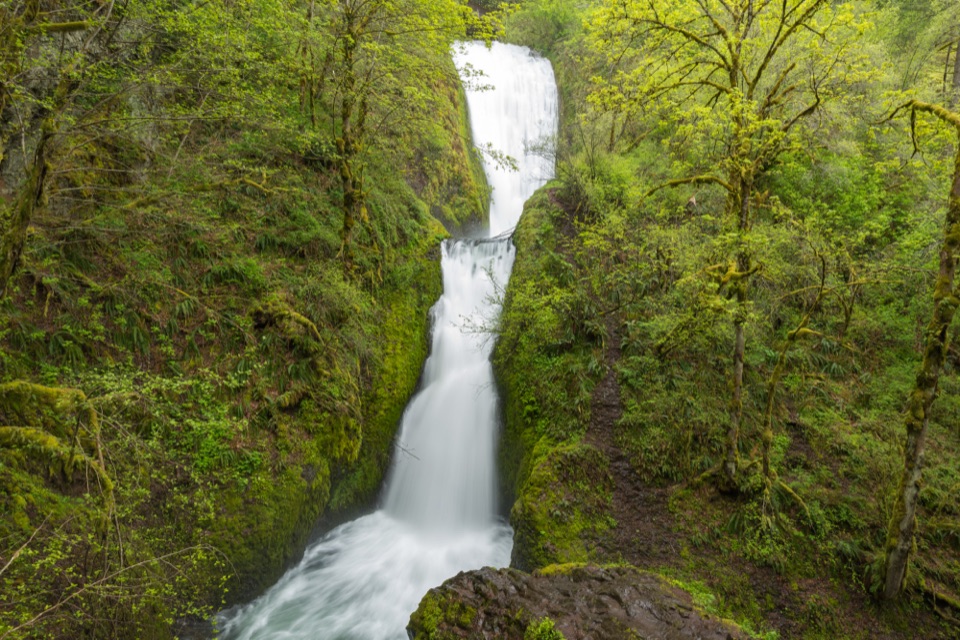 24Bridal Veil Falls TrailA two-tier waterfall waits beyond ninety steps and a shady creek.
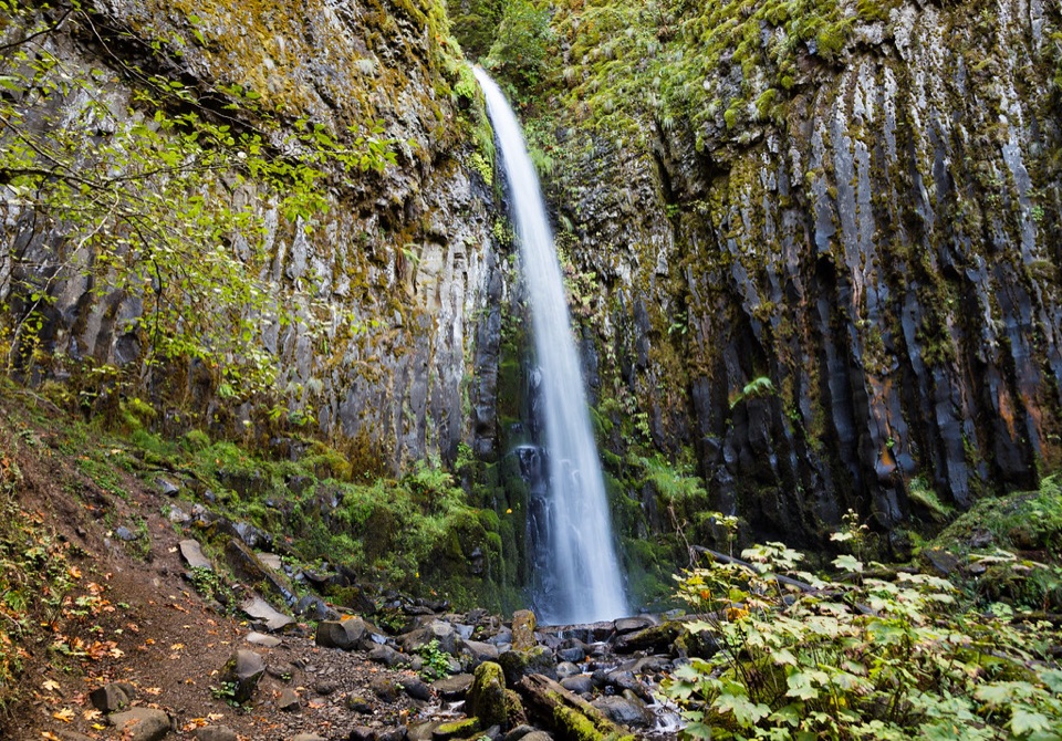 25Dry Creek Falls via the Pacific Crest TrailA steady PCT climb ends at a basalt-framed cascade.
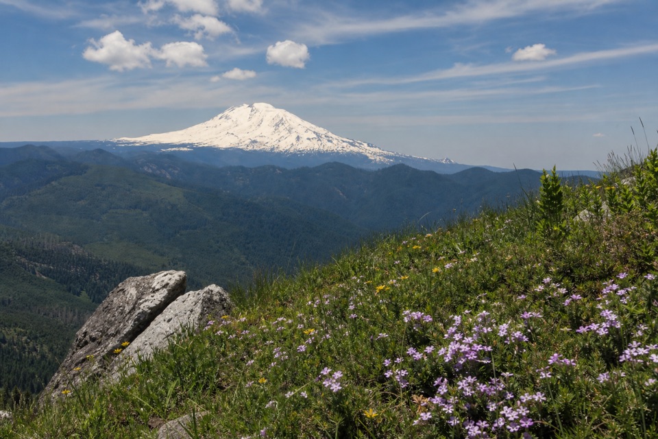 26Augspurger Mountain TrailThe summit is wooded; keep going to the open ridge.
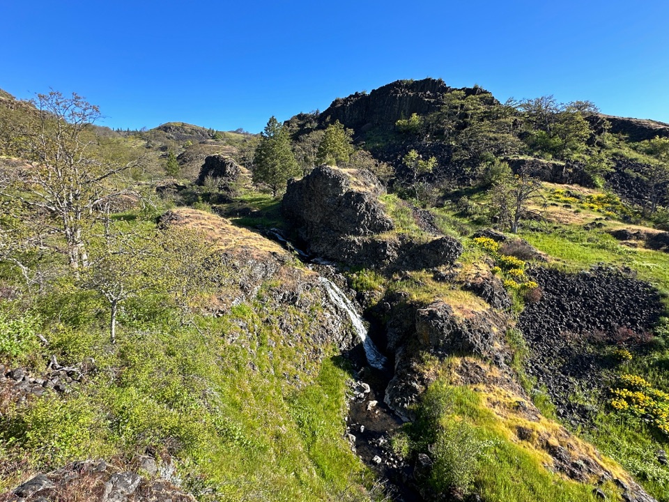 27Catherine Creek LabyrinthA basalt maze, a creekside waterfall, and a viewpoint worth the climb.
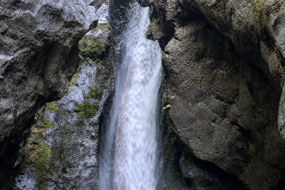 28Hardy Falls and Rodney Falls TrailThree falls, two viewpoints, and no need to climb the summit.
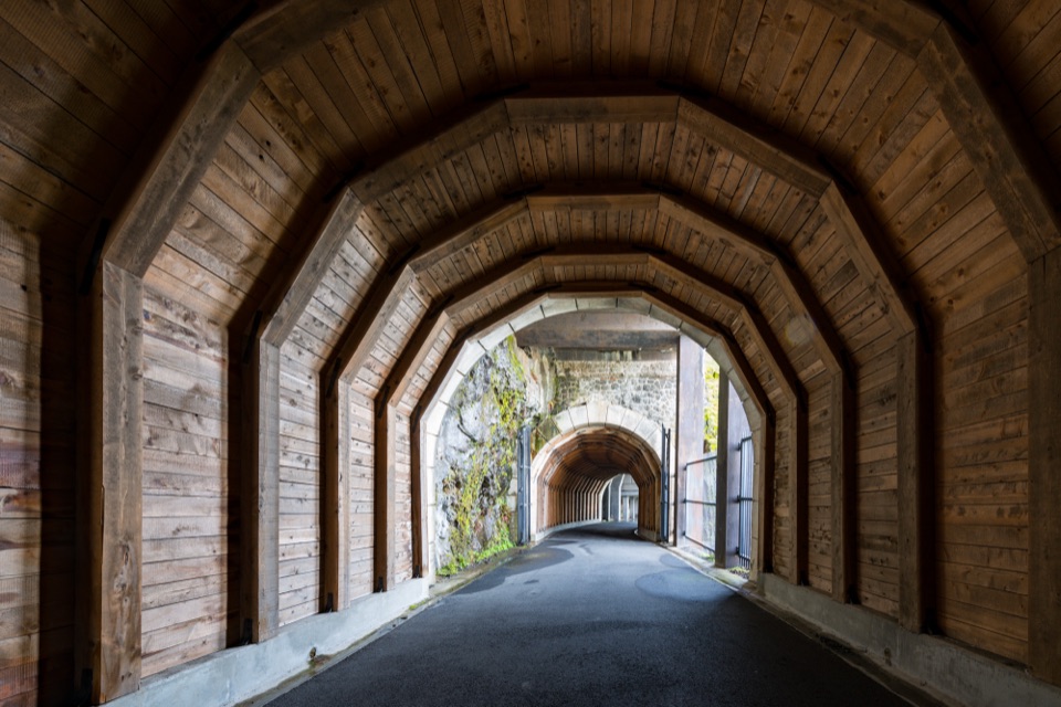 29Historic Columbia River Highway State Trail — Twin Tunnels SegmentWalk the old highway through twin tunnels with framed river views.
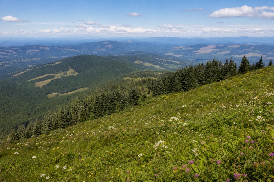 30Silver Star Mountain – Ed’s Trail LoopScramble past a natural arch for five Cascade volcanoes
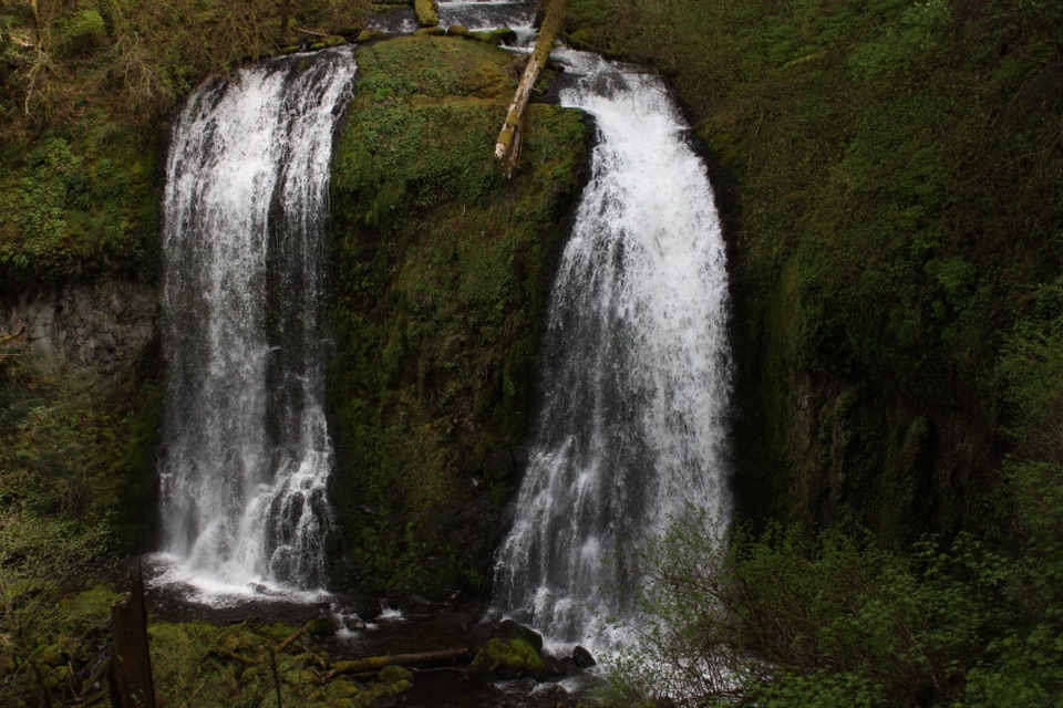 31Upper McCord Creek FallsTwo falls, open Gorge views, and a steep cliffside climb.
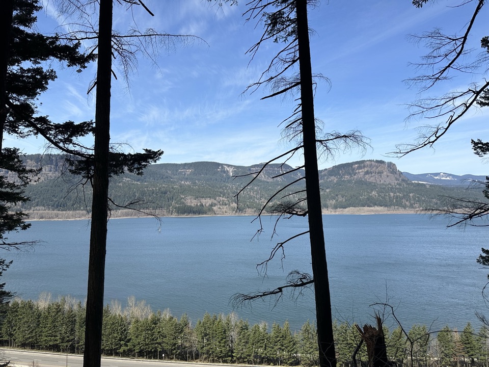 32Larch Mountain Trail #441Falls crowds fade into a quiet creek and ridge climb.
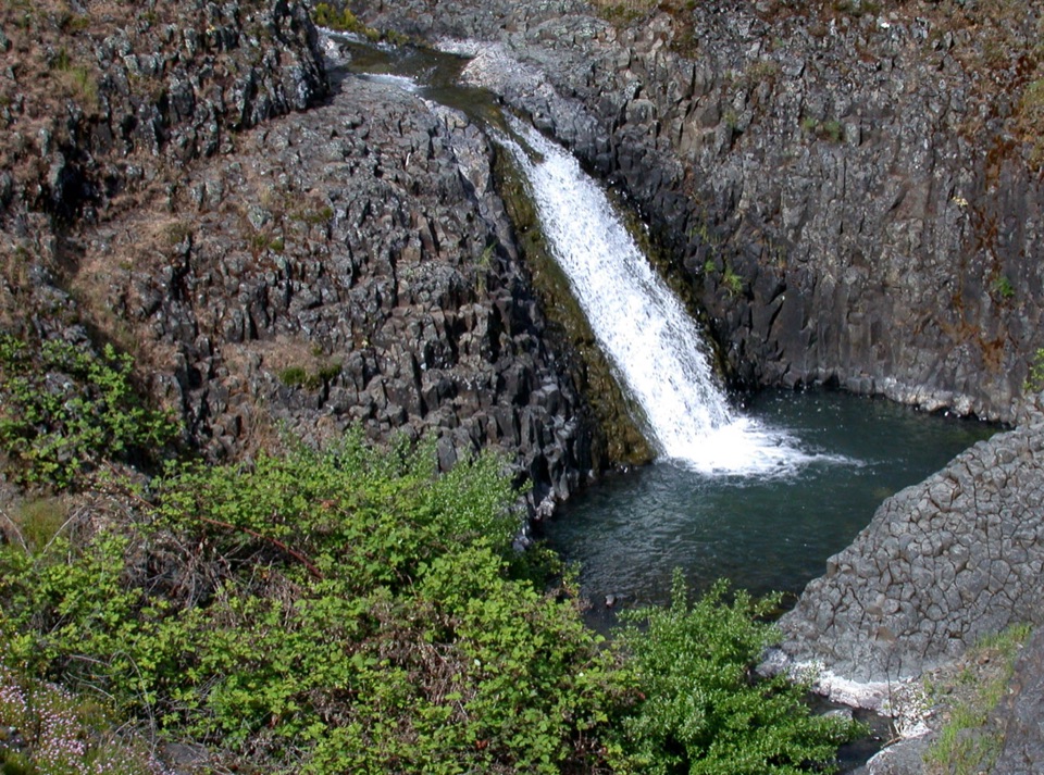 33Catherine Creek Interpretive TrailA paved mile through wildflower slopes to the Catherine Creek Falls view.
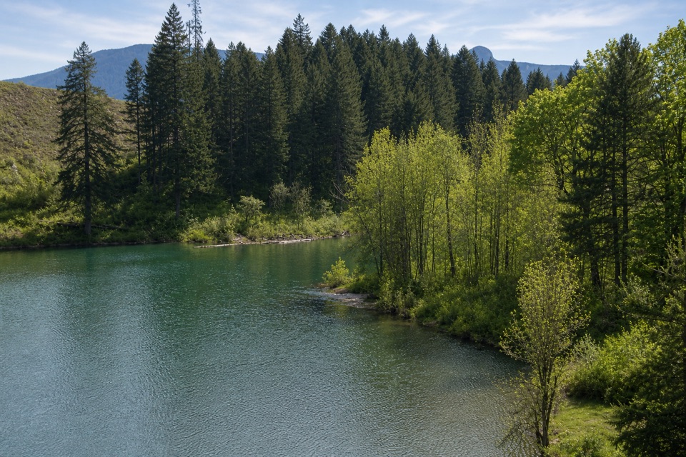 34Gillette LakeA forest climb to blue-green water and landslide ponds.
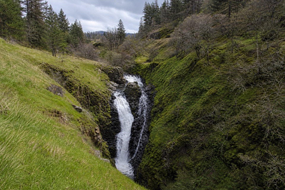 35Mosier Creek FallsA quick town walk to an 80-foot, two-tiered waterfall.
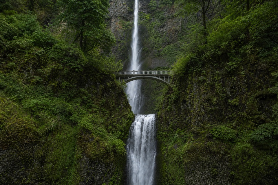 36Multnomah Falls to Sherrard Point via Larch Mountain TrailFour waterfalls, a creek gorge, and a hard summit climb.
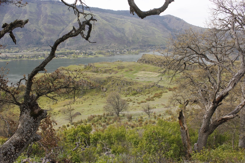 37Lyle Cherry Orchard TrailAn old orchard and spring blooms above the Columbia.
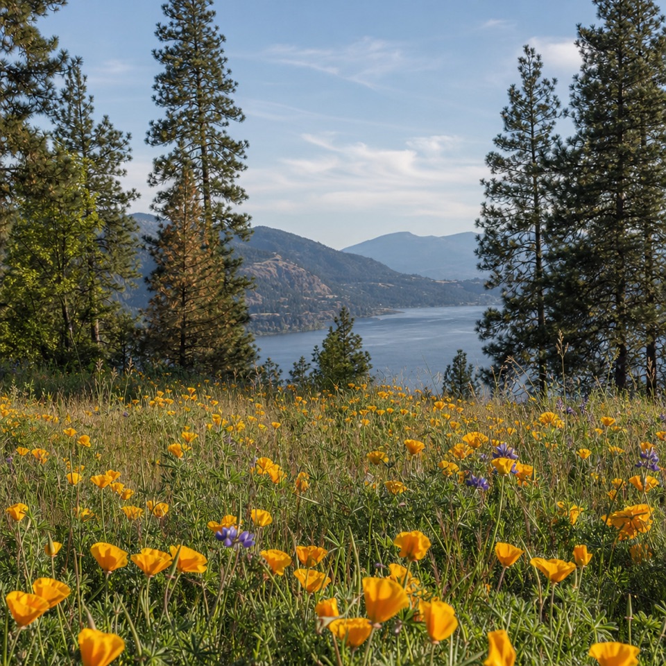 38Mosier Plateau TrailA creekside waterfall, spring flowers, then a steep climb to Gorge views.
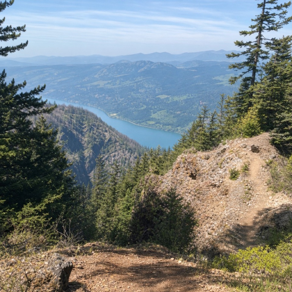 39Nesmith Point TrailA steep climb to an old lookout and wide Gorge views.
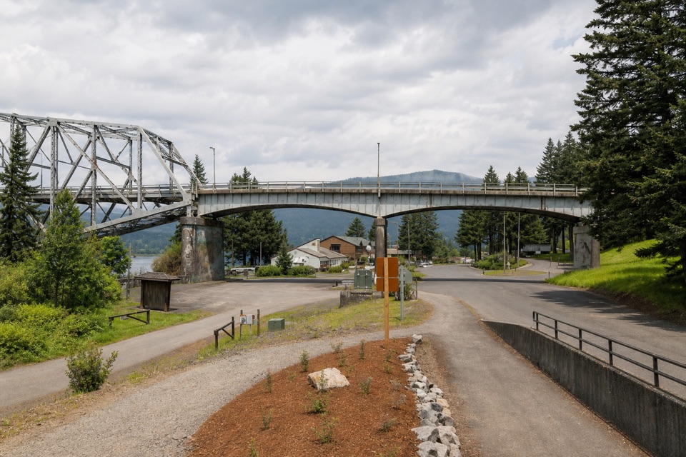 40Historic Columbia River Highway State Trail: Bonneville SegmentPaved Gorge miles, old bridges, and Ruckel Creek's easy-to-miss falls.
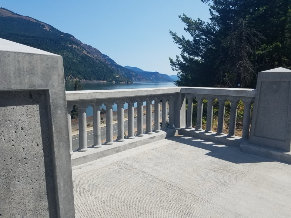 41Historic Columbia River Highway State Trail: Wyeth to VientoSix paved miles past viaducts and waterfalls along the Gorge.
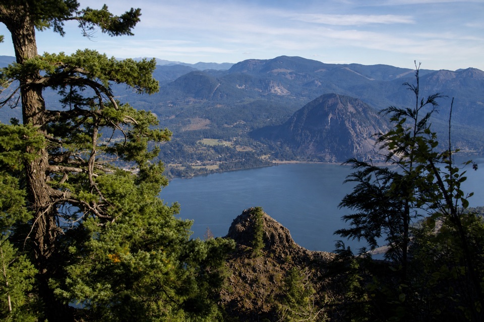 42Indian Point LoopA hard Gorge loop with Indian Point and Mount Hood views.
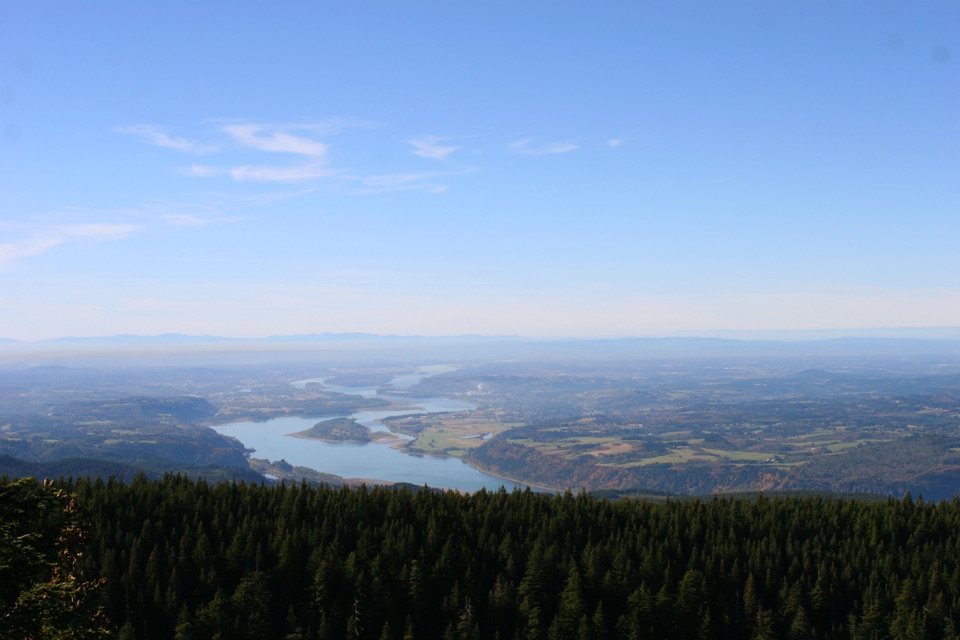 43Larch Mountain Crater LoopA crater loop through old forest to a volcanic summit view.
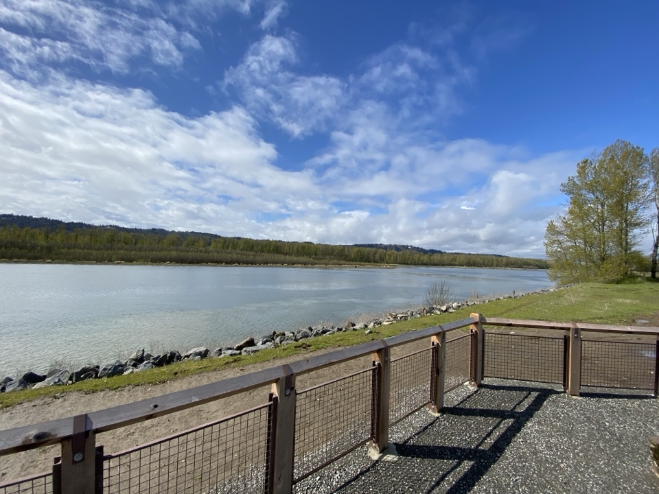 44Gibbons Creek Wildlife Art TrailA flat levee loop with herons, hidden art, and two bridges.
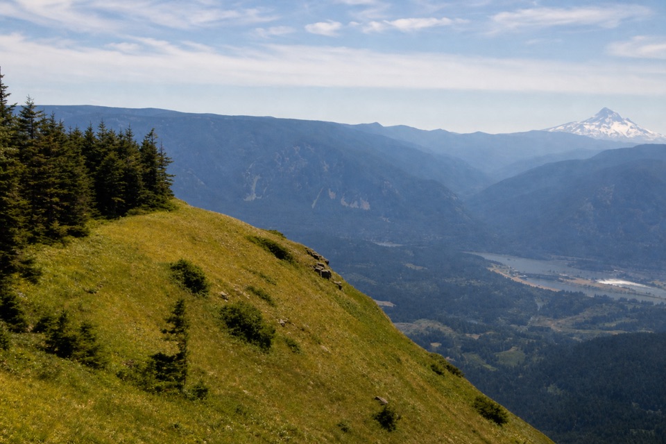 45Table Mountain from Bonneville TrailheadA hard climb to sheer cliffs above the Columbia Gorge.
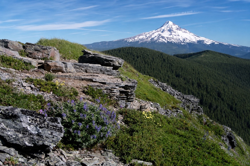 46Chinidere Mountain LoopA lake loop that climbs to a rocky Cascade lookout.
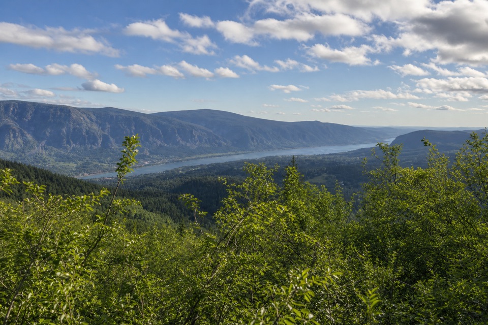 47Hardy Ridge LoopA steep forest climb opens onto a rocky crest above the Gorge.
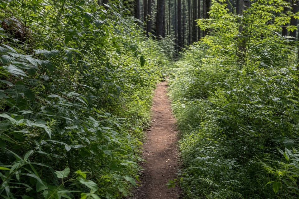 48Herman Creek Trail #406A full-day climb through old growth to the Pacific Crest Trail.
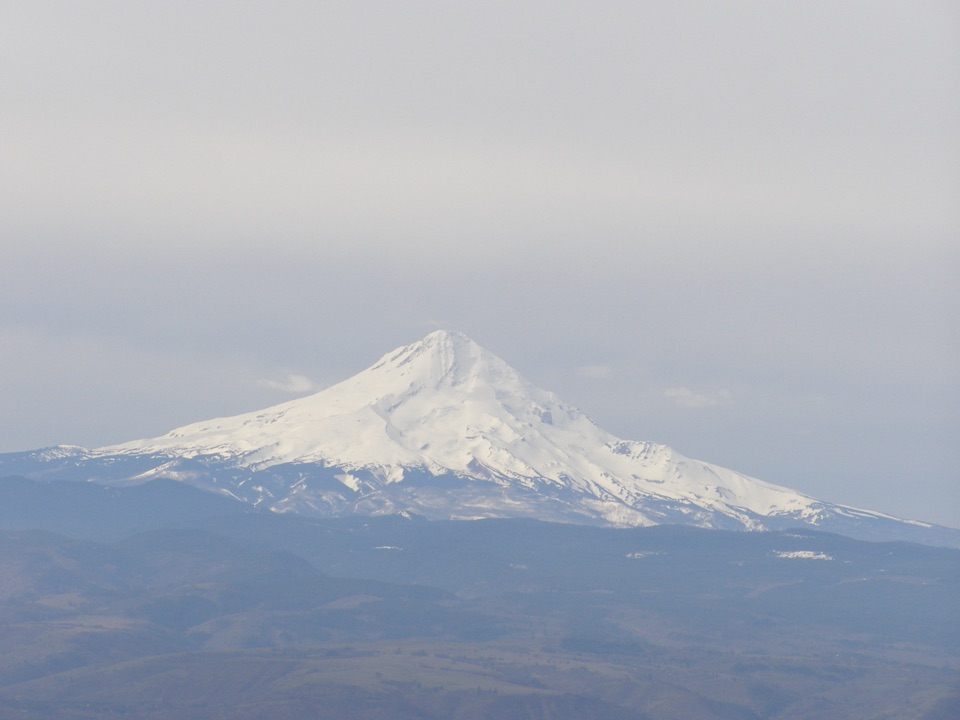 49Stacker Butte TrailA bare gravel climb opens onto wide Gorge and volcano views.
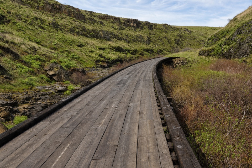 50Klickitat Trail — Swale CanyonRocky railbed, trestles, and a creek-side turnaround.
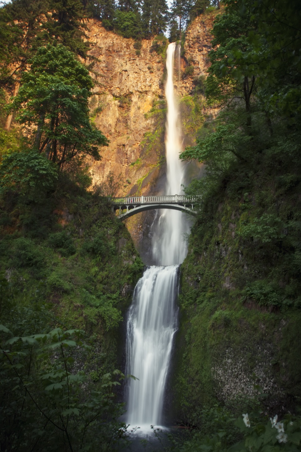 51Multnomah Falls–Franklin Ridge LoopBig waterfalls down low, a rugged ridge crossing, and a long climb.
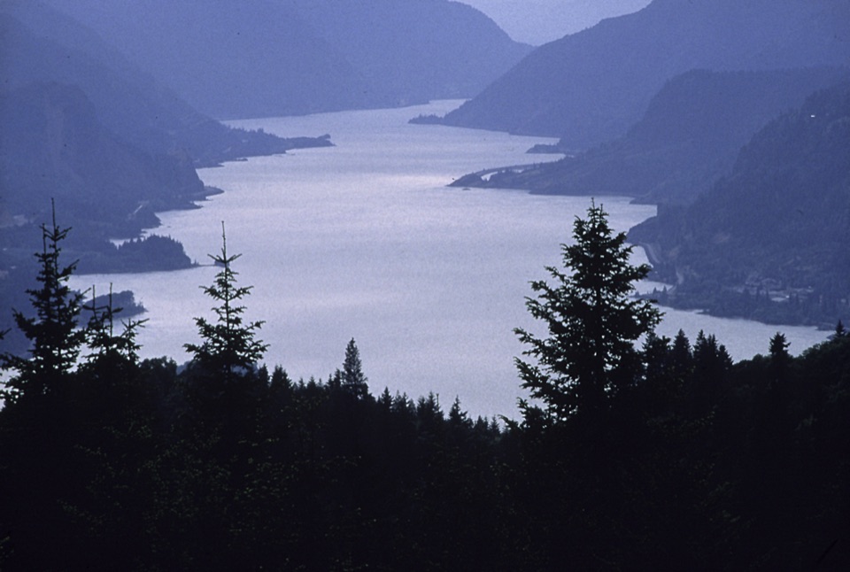 52Benson Plateau LoopA long climb earns the high plateau and a Larch Mountain view.
 53Multnomah Falls to Devil’s RestFalls, creek cascades, and a wooded summit reward the long climb.
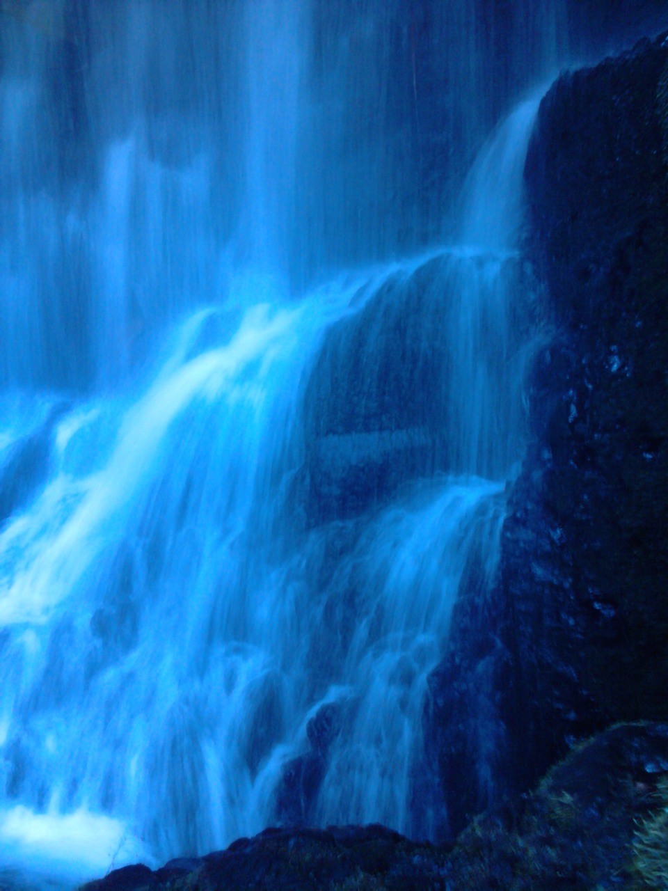 54Starvation Ridge LoopThree waterfalls and a ridge view reward a steep little loop.55Oneonta Trail #424Waterfalls first, then a steep climb all the way to Larch Mountain.
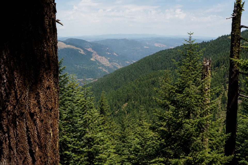 56Nick Eaton Ridge LoopA full-day climb earns a ridge meadow view.
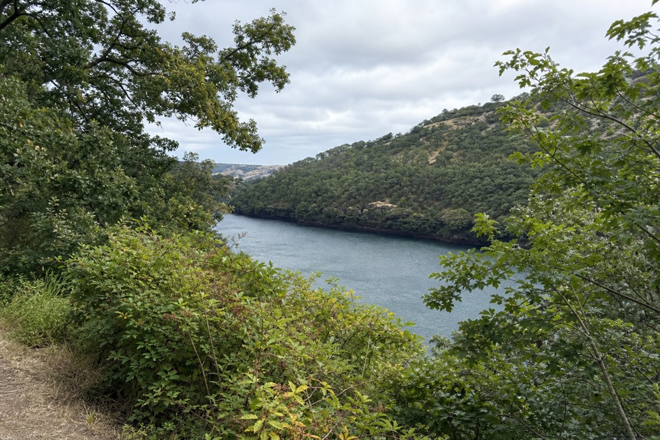 57Balfour-Klickitat LoopA short paved loop to a bird blind above the Klickitat.
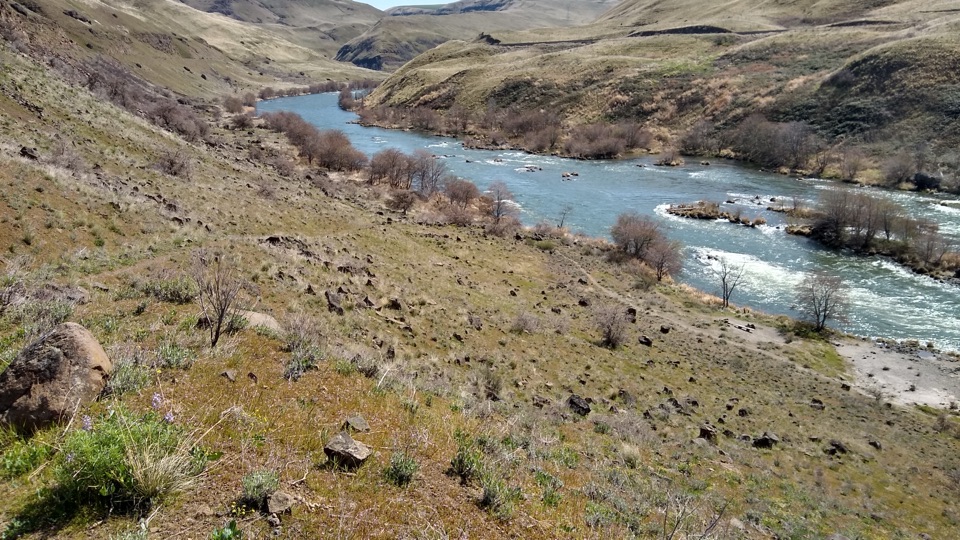 58Deschutes River TrailA long railbed walk beside rapids, cliffs and river history.
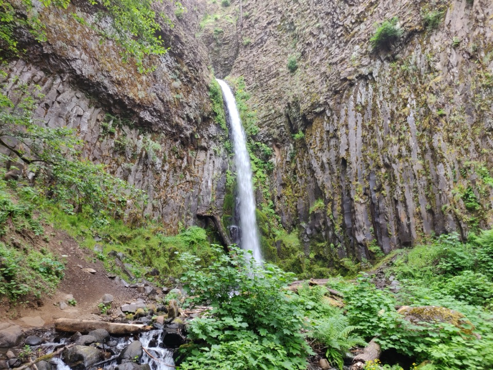 59Dry Creek Falls to Herman CreekA basalt waterfall and pinnacles on a longer PCT outing.
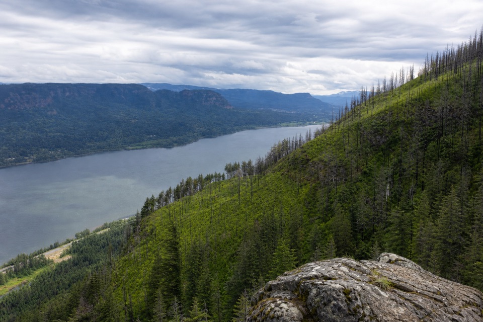 60Devil's Rest TrailWaterfalls and Gorge views arrive before the shaded summit.
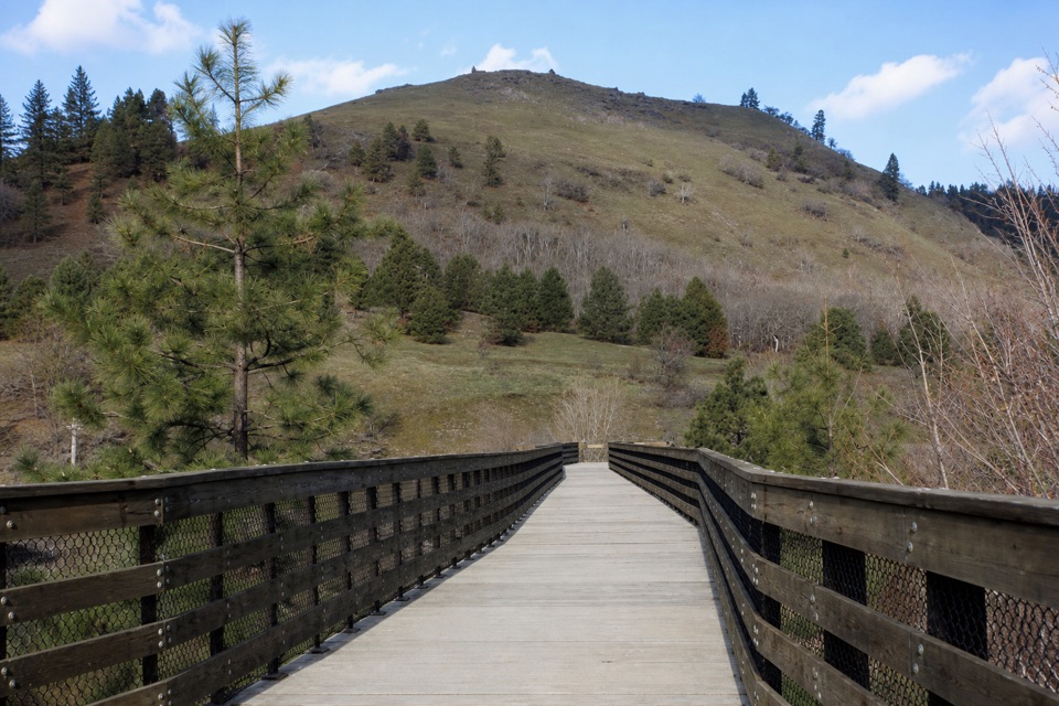 61Klickitat Trail: Lyle to Fisher Hill TrestleEasy riverside walking ends at Fisher Hill’s high trestle.
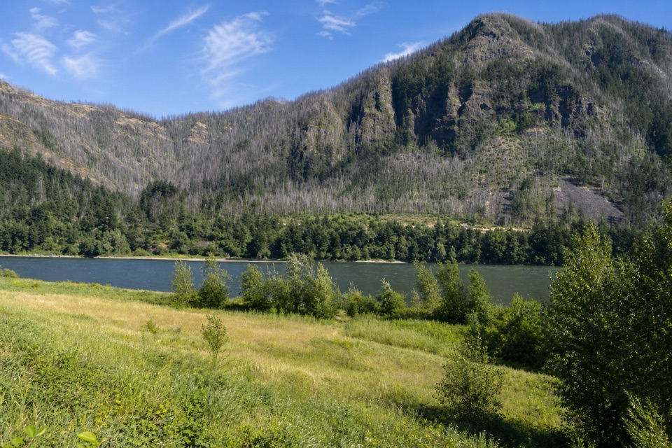 62Strawberry Island LoopA meadow in the river’s narrow middle, framed by both Gorge walls.
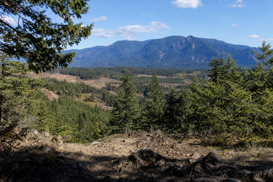 63Greenleaf OverlookFollow the PCT to a mossy perch above the Bonneville Slide.
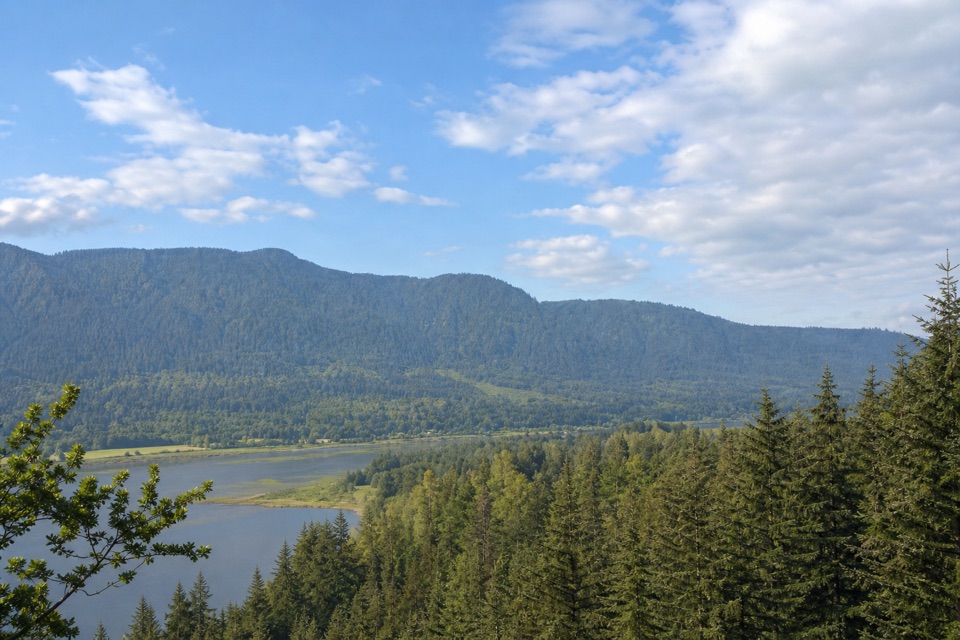 64River to Rock TrailA short forest connector with a Beacon Rock view at Riddell Lake
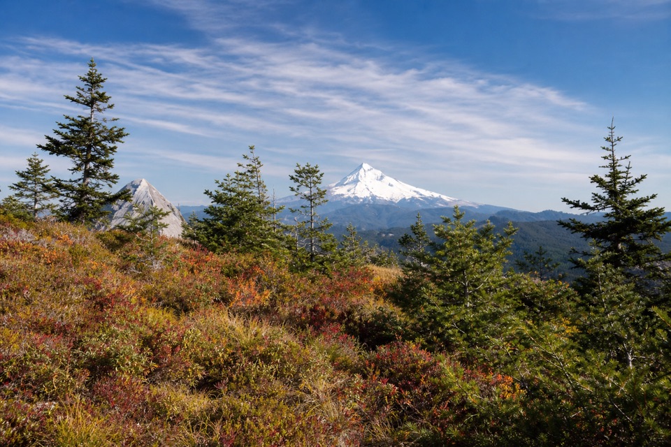 65Tanner Butte TrailA long climb to old firetower remains and a Mount Hood view.
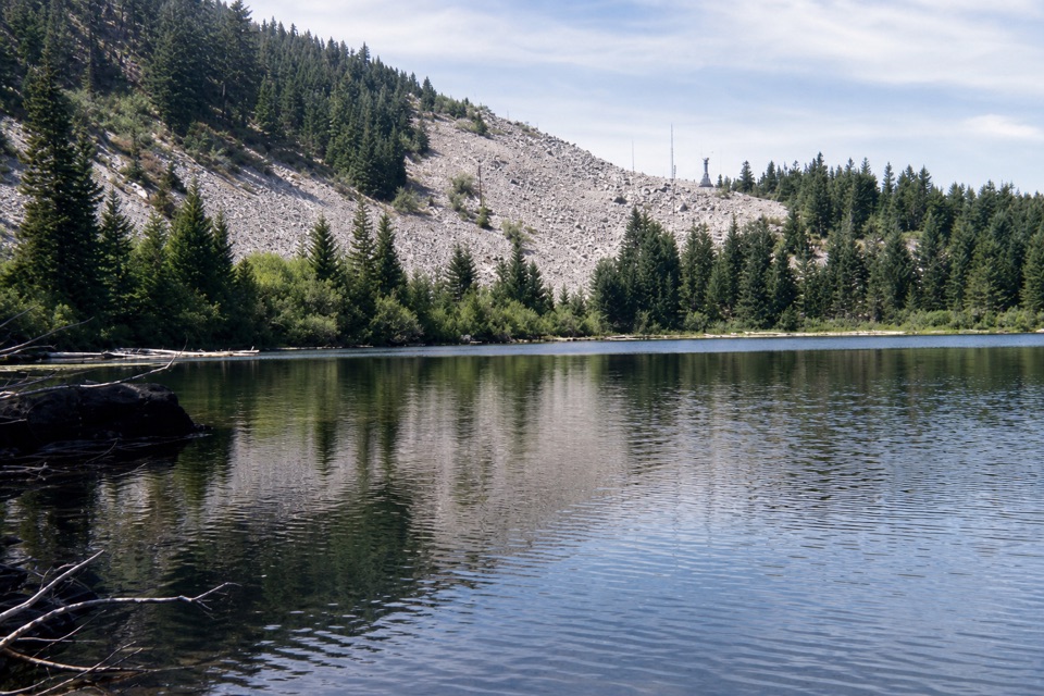 66Starvation Ridge to Warren Lake LoopA steep ridge climb earns a quiet stop at a high-country lake.
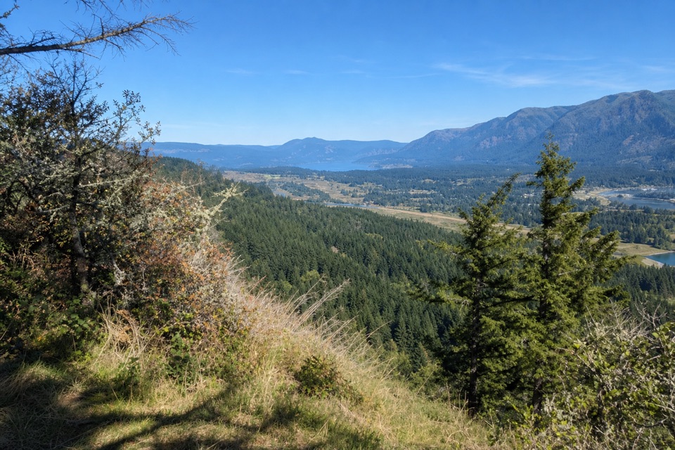 67Aldrich Butte TrailA wooded climb to a summit clearing with Columbia River Gorge views.
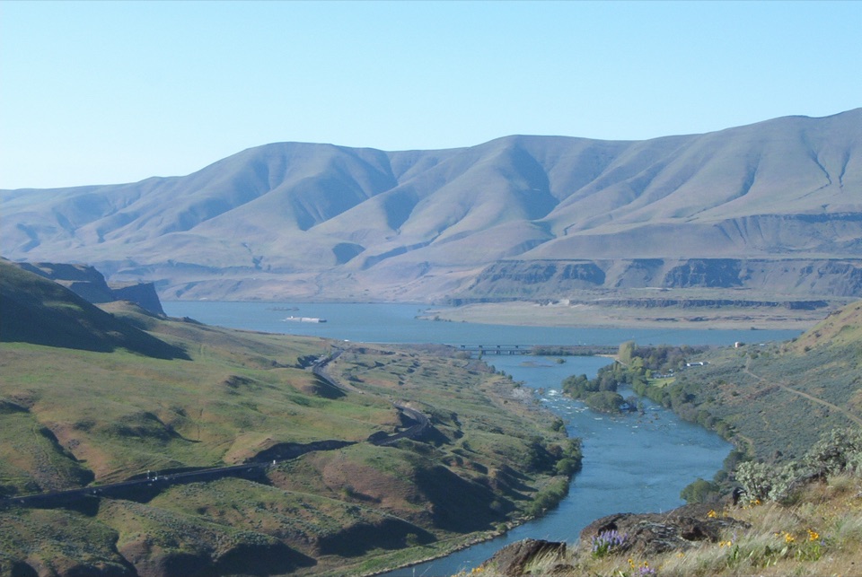 68Ferry Springs LoopRiver views, a spring canyon and flowers on one moderate loop.
 69Fort Cascades TrailA level riverside loop through a vanished portage town.
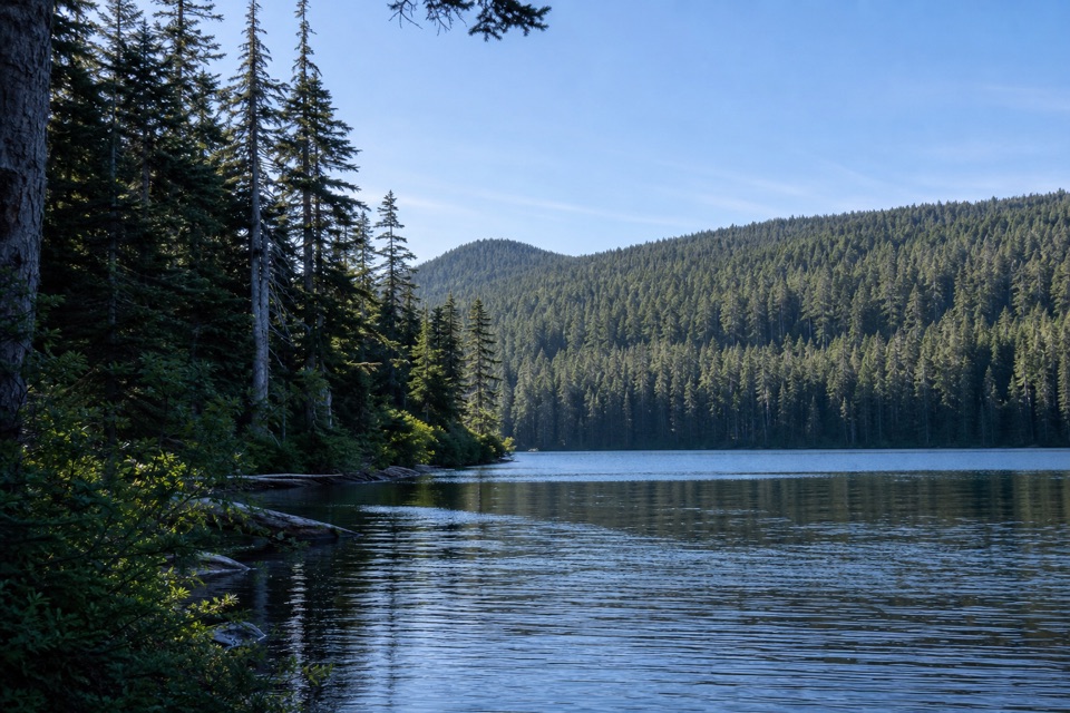 70Indian Mountain LoopA long wilderness loop through old forest, springs, and a rocky summit.
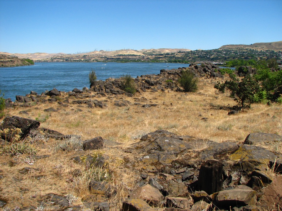 71The Dalles Riverfront TrailA riverfront path to historic Fort Camp, coves, and a sandy beach.
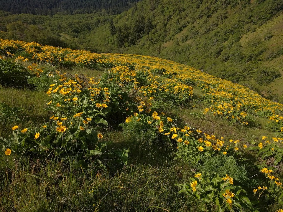 72Weldon Wagon TrailA 1911 wagon road climbs to oak meadows and Mount Hood views.
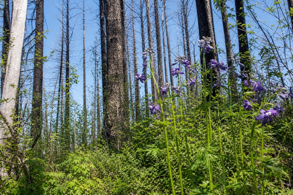 73Franklin Ridge Trail #427A rough ridge connector with a rare view across Oneonta Valley.
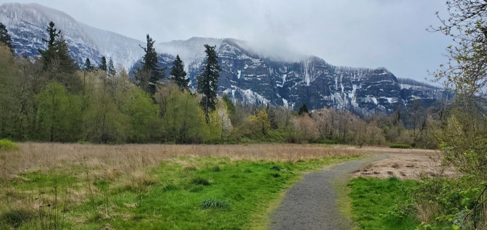 74Sams Walker LoopA gentle gravel circuit reaches river views through varied woods.
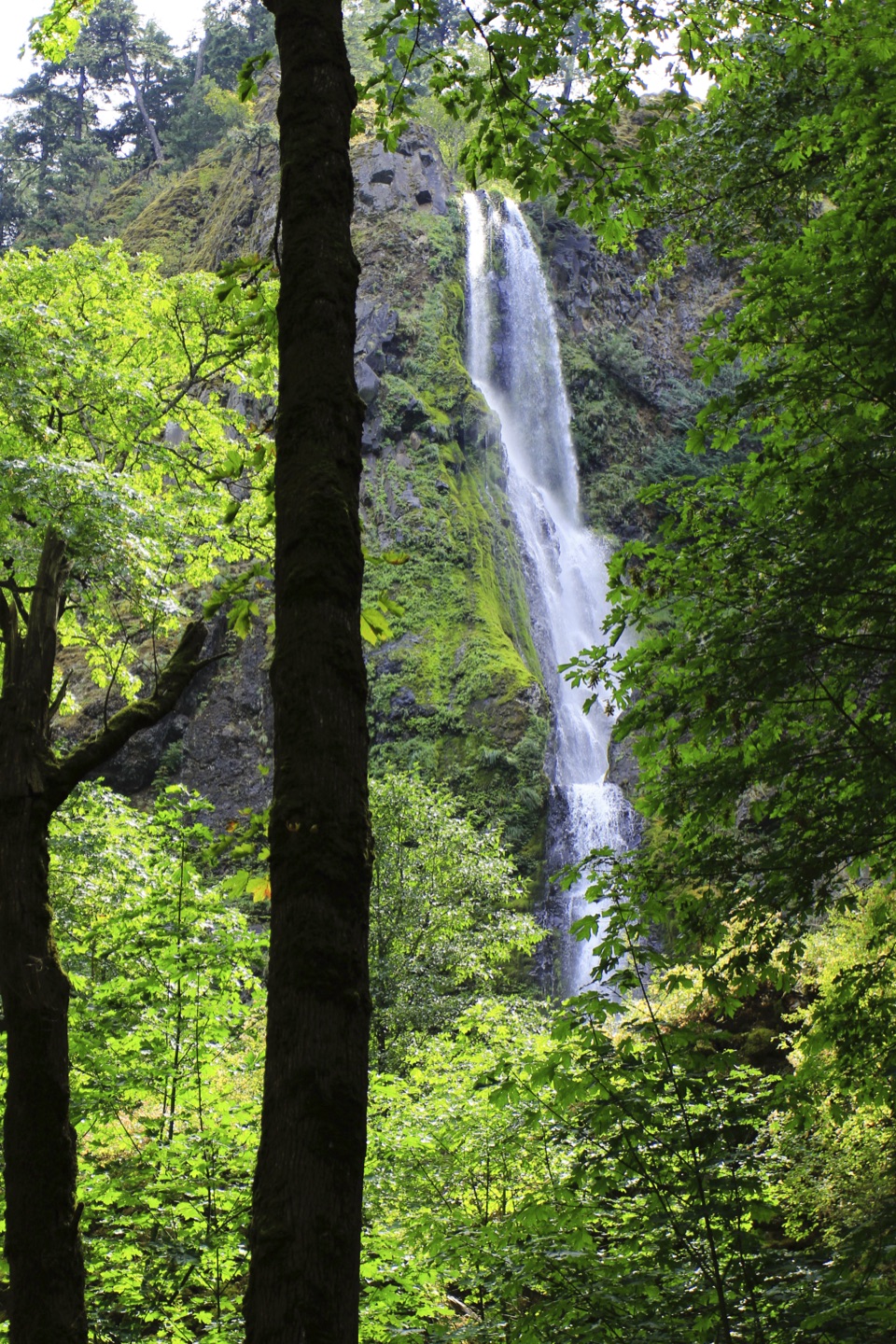 75Viento State Park to Lindsey CreekFour waterfalls and river views on a gently graded paved walk.
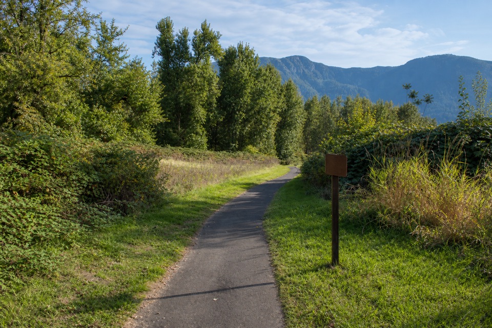 76Doetsch Walking PathA nearly flat meadow loop with Gorge views and ranch history.
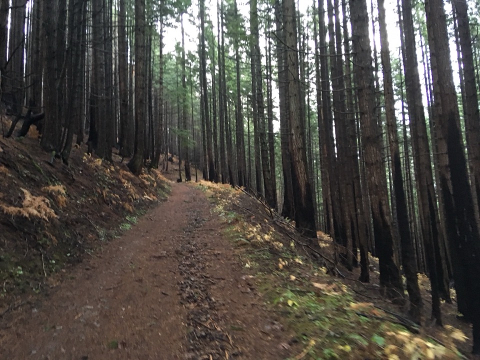 77Herman Creek to Casey CreekA steady climb past waterfalls to a shaded Casey Creek crossing.
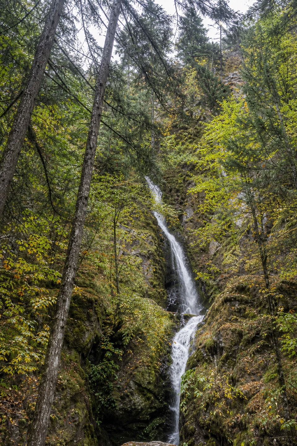 78Hole-in-the-Wall FallsA paved walk to a waterfall created by a 1938 creek diversion.
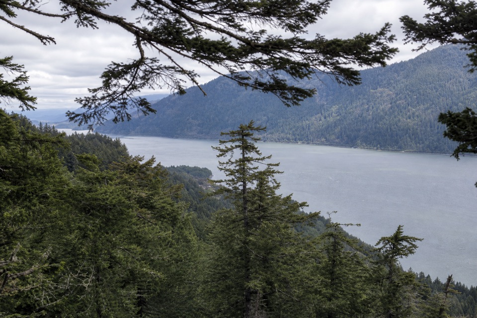 79Wygant Peak TrailThe summit hides its best view in the meadow below.
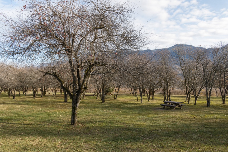 80St. Cloud Interpretive Trail #4410An orchard loop with river views and a story rooted in 1909.
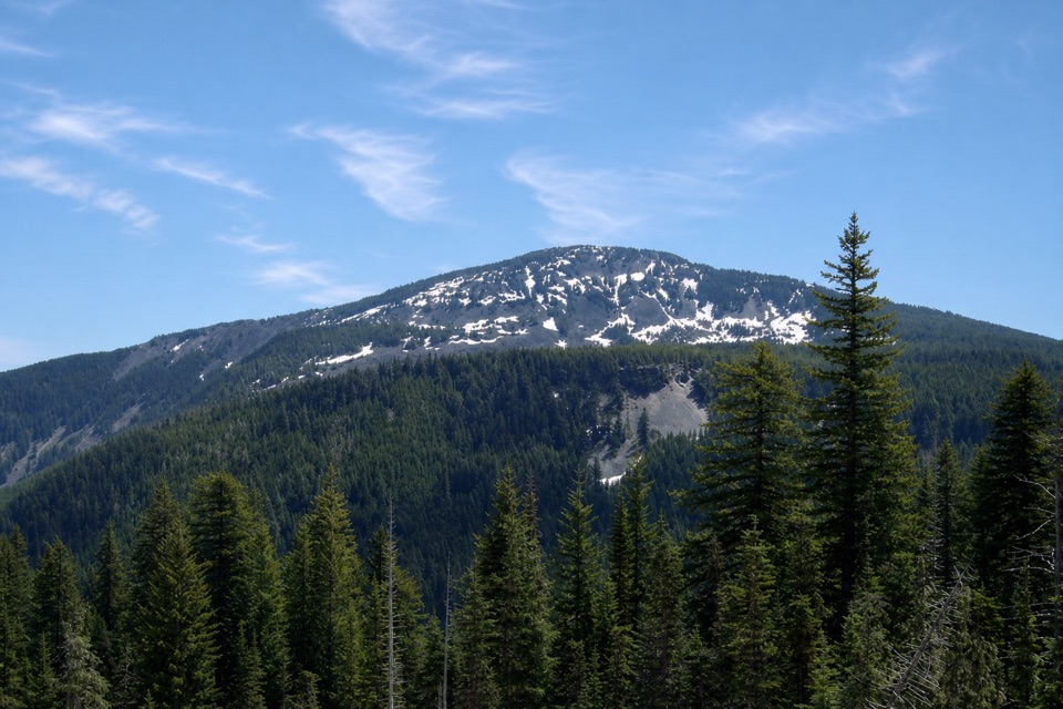 81Green Point Ridge LoopA steep ridge loop with North Lake and wide Gorge views.
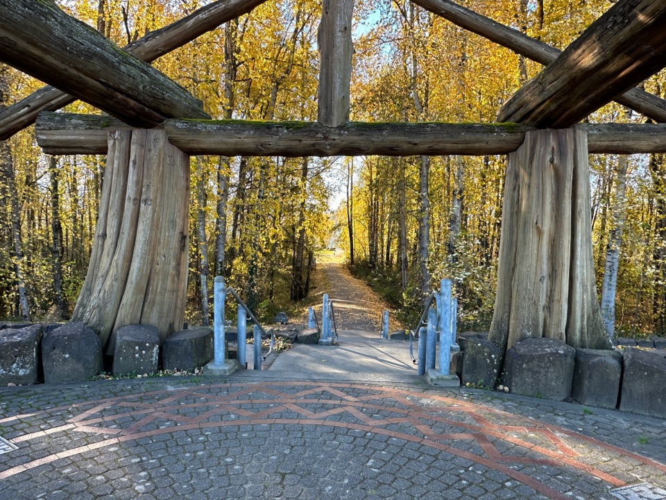 82Washougal Waterfront TrailFlat, paved 2-mile walk beside the Columbia River
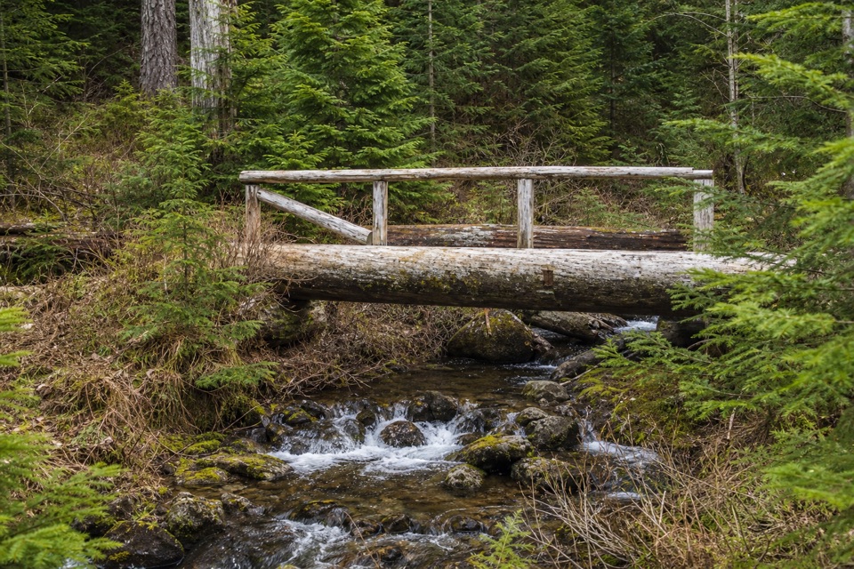 83Bell Creek Trail #459Old-growth forest and a timber bridge on a wilderness link.
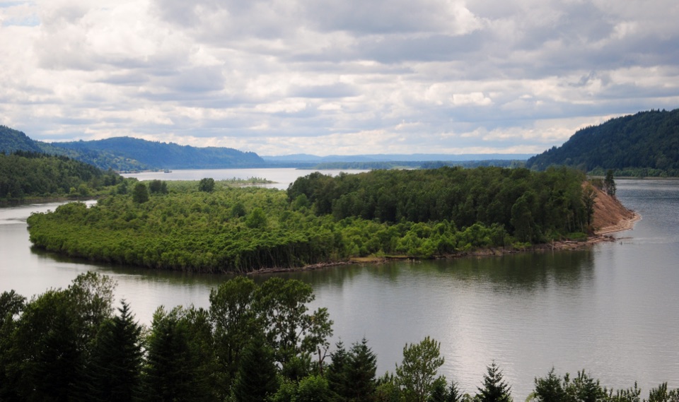 84Bridal Veil Overlook Loop TrailA brief paved loop for river cliffs and basalt landmarks.
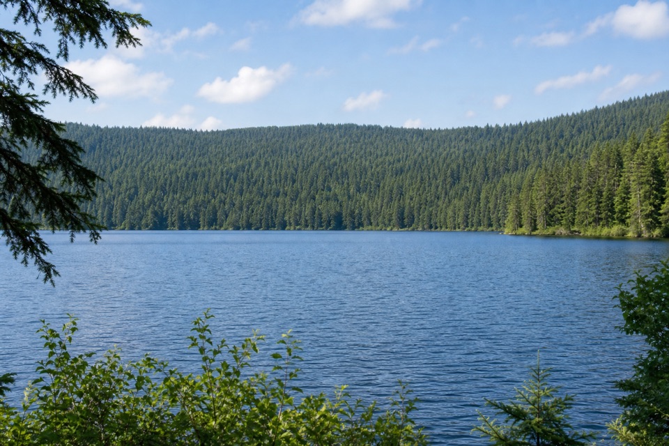 85Rainy Lake LoopSignal hut, summit views and a lakeshore dam in one loop.
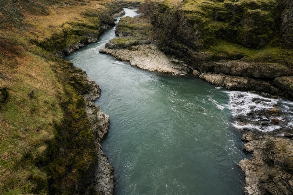 86Klickitat Trail: Fisher Hill Bridge to PittA long, gentle rail-trail walk beside the Klickitat River.
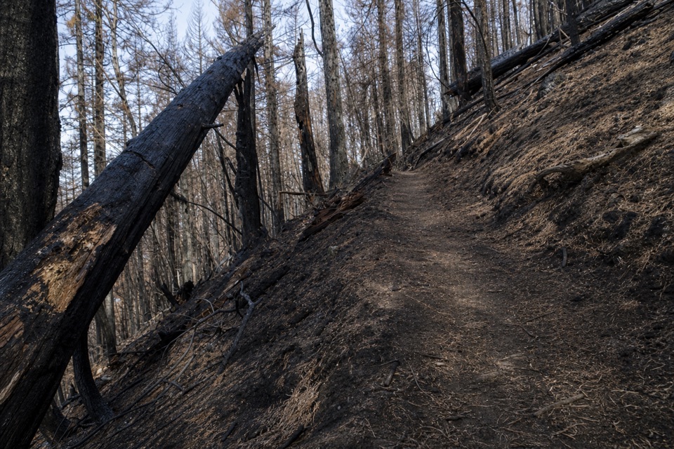 87Gorton Creek Trail #408A steep one-way wilderness route with brushy tread beyond Deadwood.
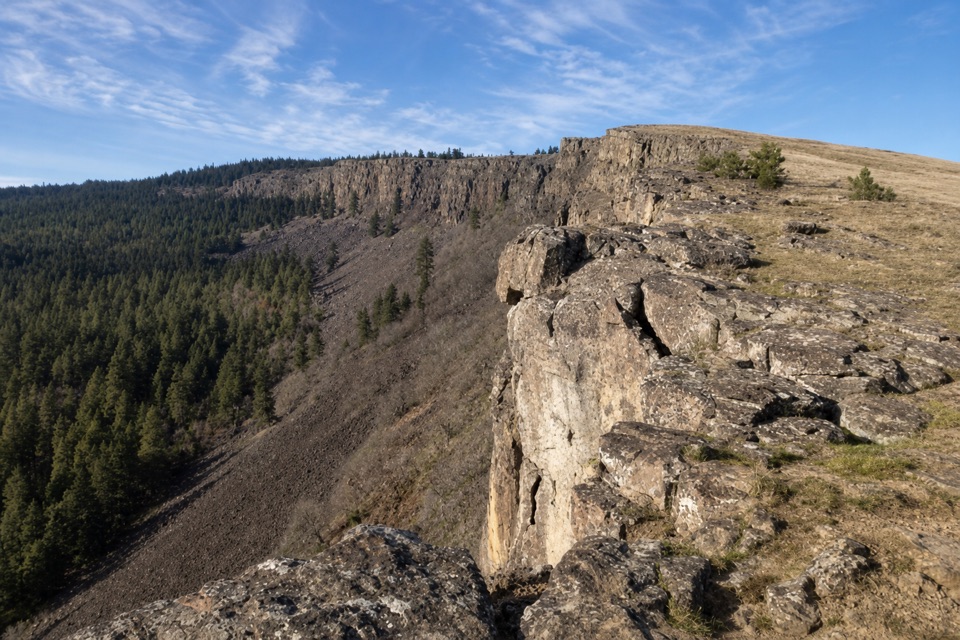 88Little Moab TrailA rocky basalt rim walk above steep wooded slopes.
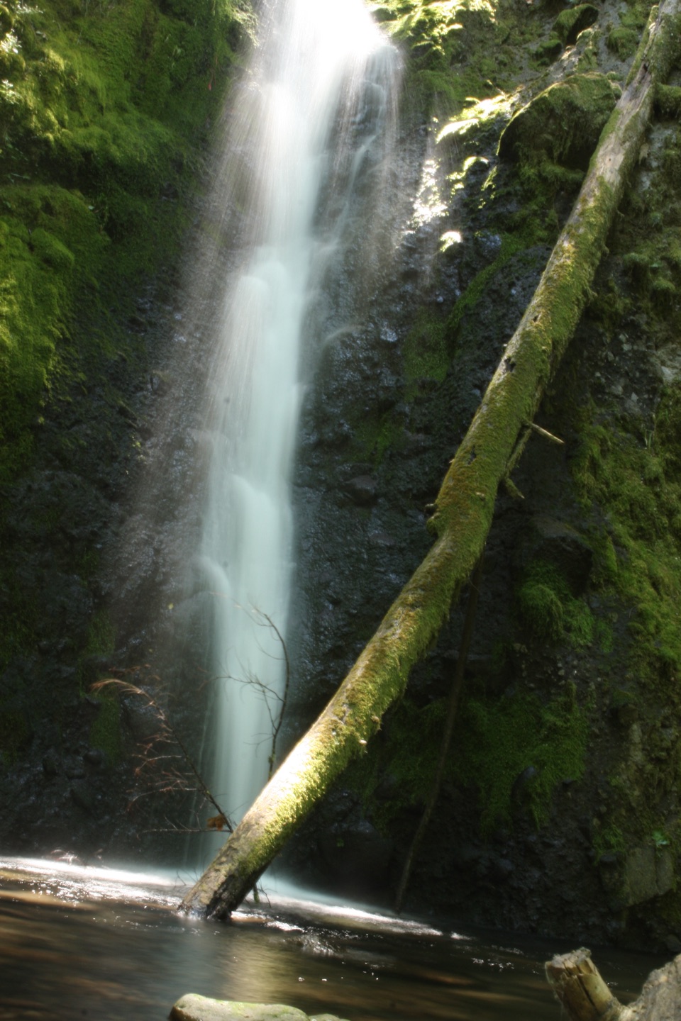 89Ruckel Creek Trail #405A steep creek climb reaches spring meadows and the Benson Plateau.
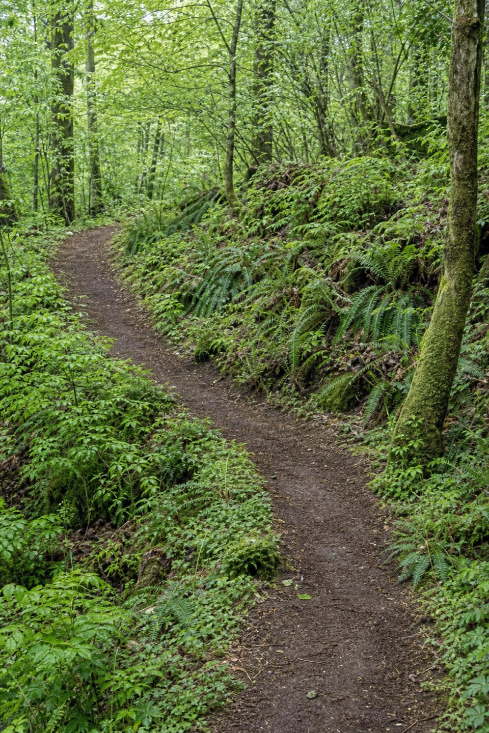 90Herman Creek to Mud LakeWaterfalls, old growth, and a high lake reward a full-day climb.
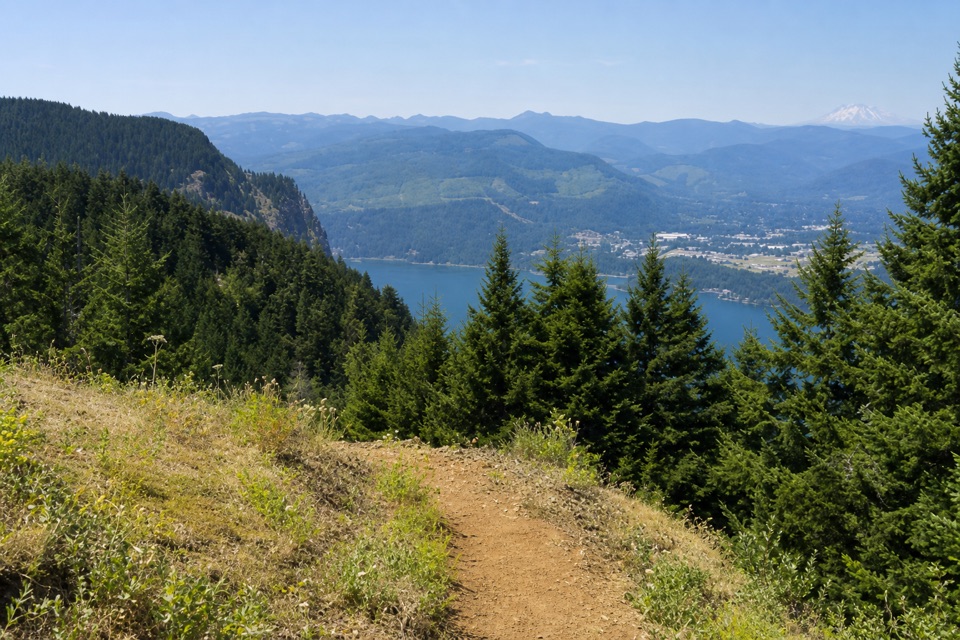 91North Lake via Wyeth TrailA steep climb through fire-opened slopes ends at a headwater lake.
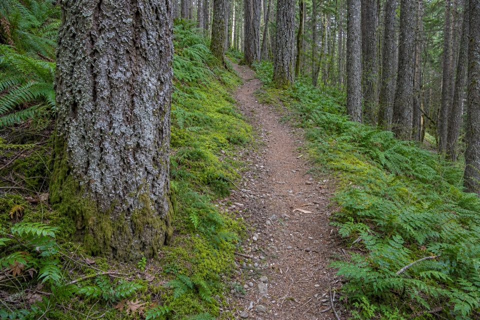 92Wyeth Trail #411A steep 7.3-mile climb from old forest into Eagle Creek fire scar.
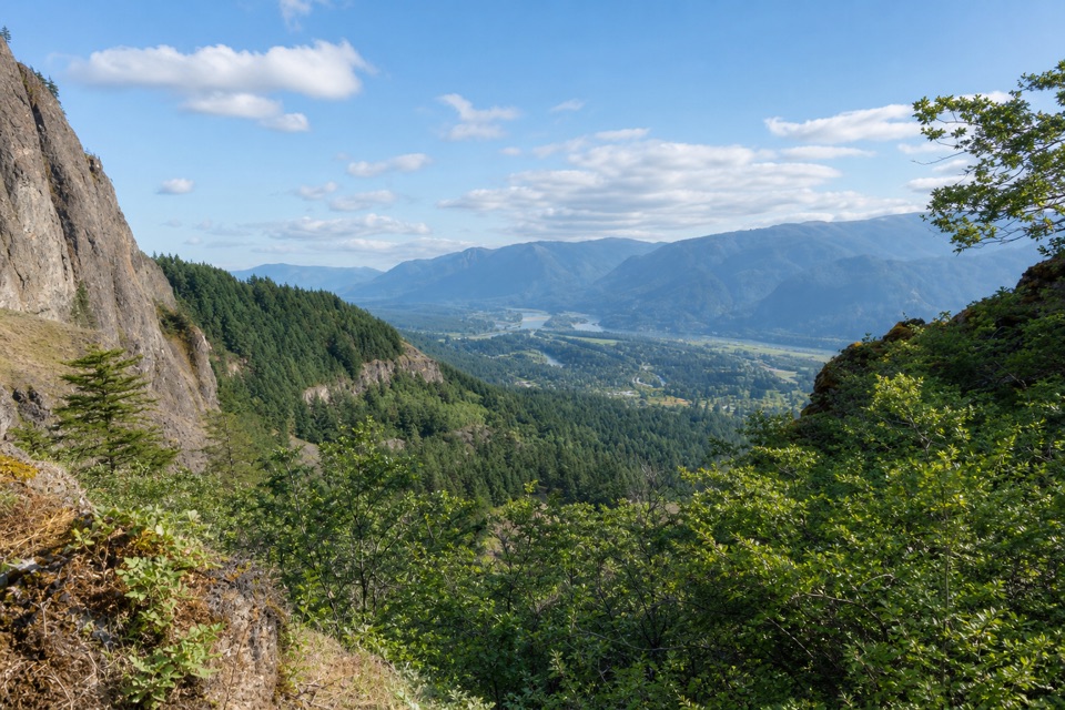 93West Hardy TrailA steady climb opens to west-facing Columbia Gorge views.
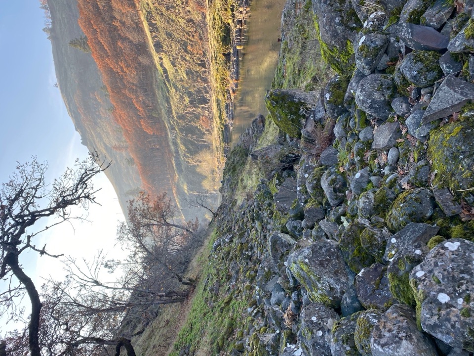 94Klickitat Trail — Fisher Hill to KlickitatA quiet riverside rail bed, with a fishway and a long walk.
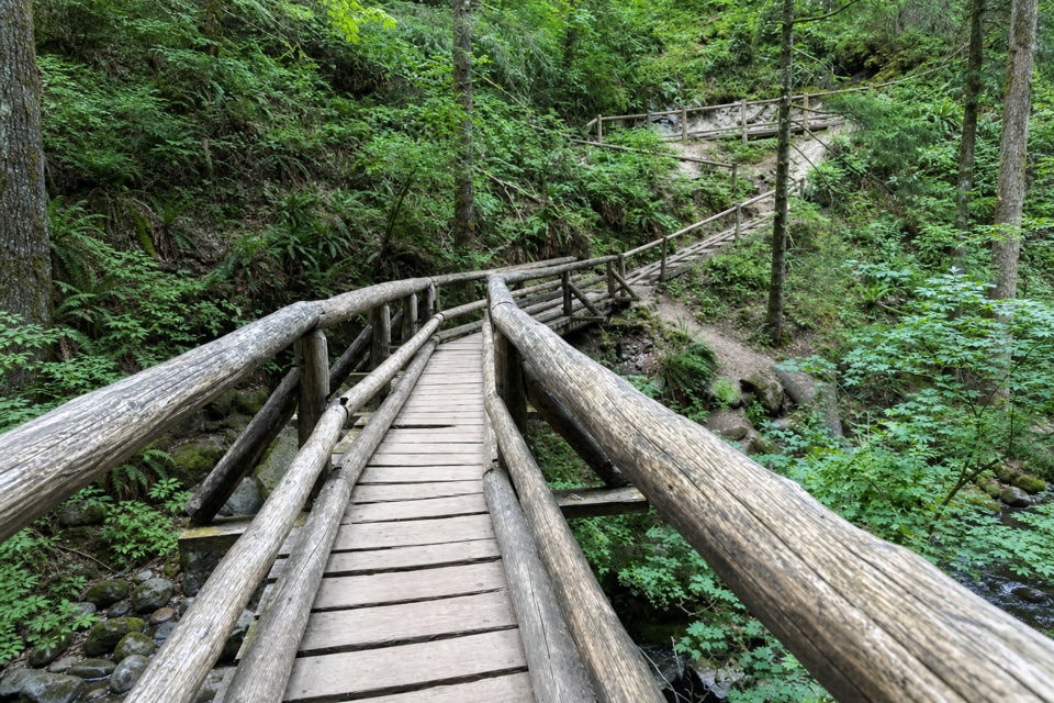 95Bridge Trail LoopA wooded loop to Hardy Creek’s big wooden bridge.
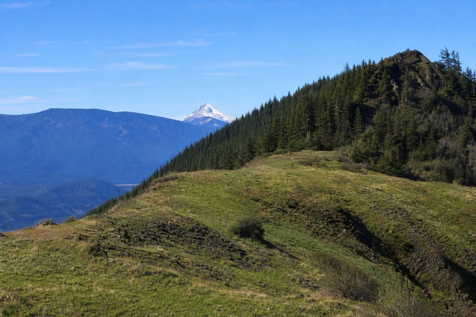 96The Saddle via Equestrian TrailA steady forest climb ends in a rocky gorge overlook.
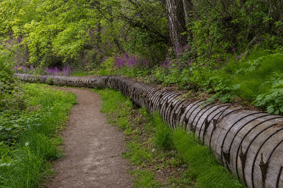 97Indian Creek Trail (Hazel Avenue section)A leafy creek walk past a historic water flume.
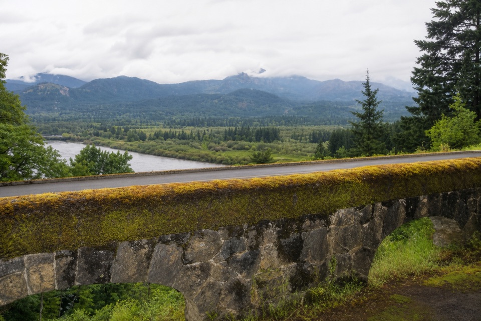 98Tooth Rock LoopStone viaduct, river views, and a rough old road back.
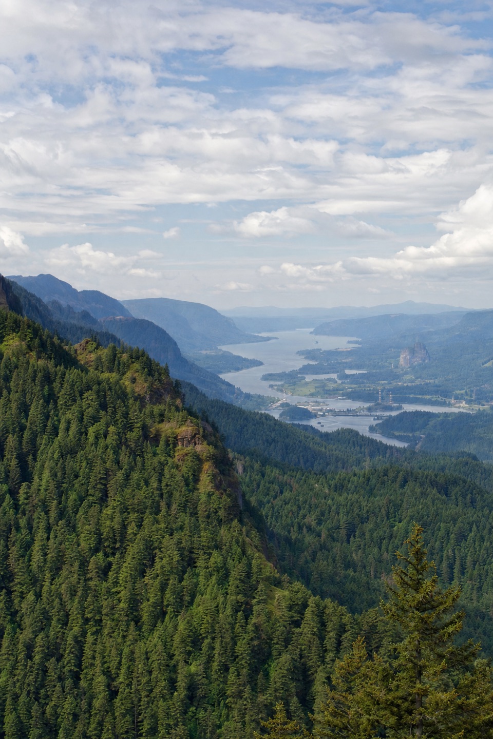 99Nick Eaton TrailA steep, fire-scarred climb to a rocky ridge high above the Gorge.100Sherrard Point TrailA short paved climb ends at a fenced perch above the Cascades.
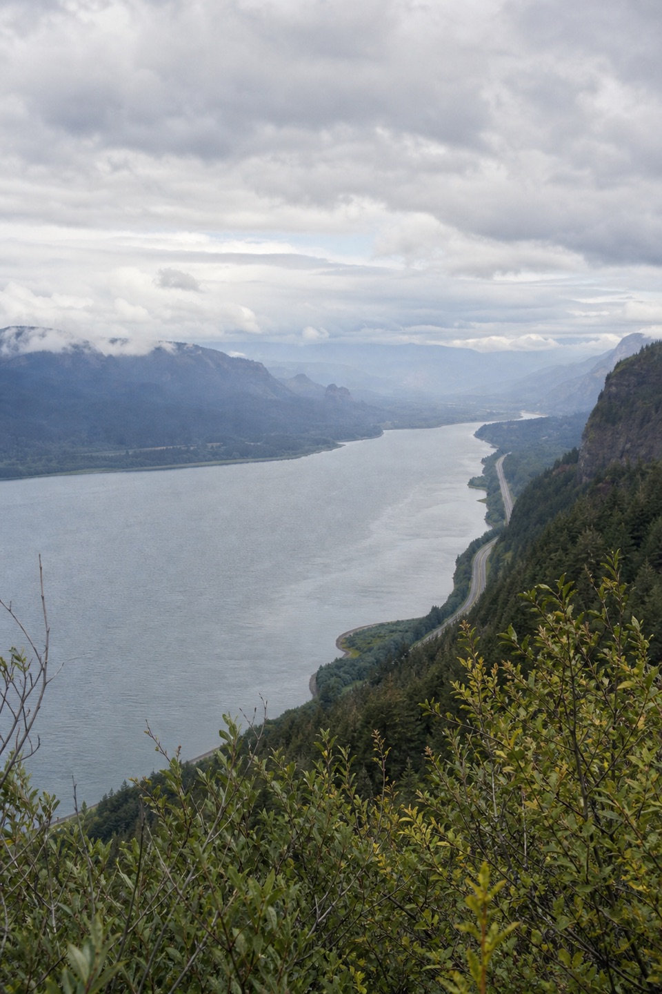 101Vista Point Trail #419A short upper trail trades the spring stop for a river view.
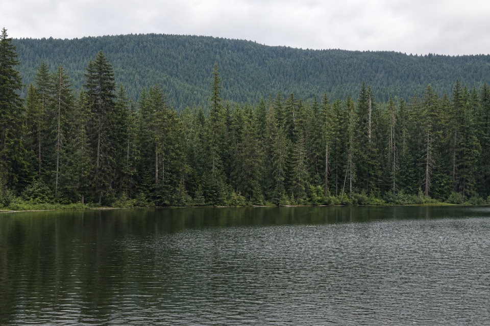 102Bear Lake via Mount Defiance South TrailA quiet lake below Mount Defiance, reached by a short forest climb.
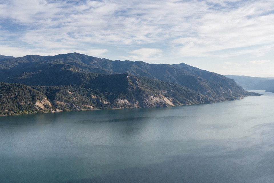 103Horsetail Creek Trail (#425)An 8.6-mile one-way climb from Oneonta to Nesmith Point Road.
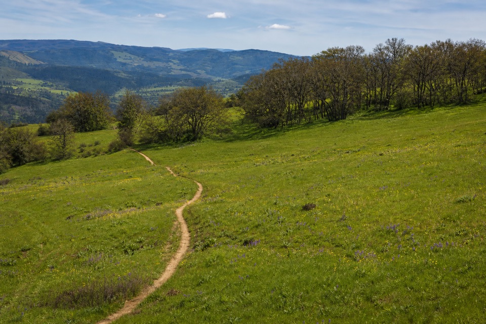 104Old Ranch Road TrailA long, rocky climb from old pavement to Gorge views.
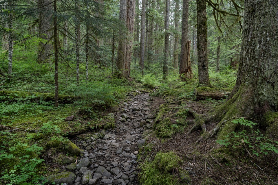 105Multnomah Creek Way Trail (#444)A creekside link with a meadow view of Sherrard Point.
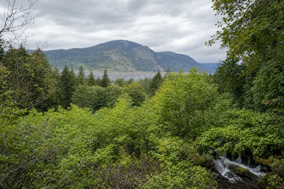 106Lancaster Falls TrailThree waterfall views along an easy, paved stretch of gorge.
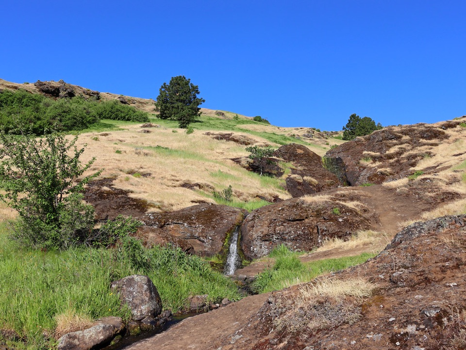 107Little Maui Trail #4425Open oak meadows give way to streamside cascades.
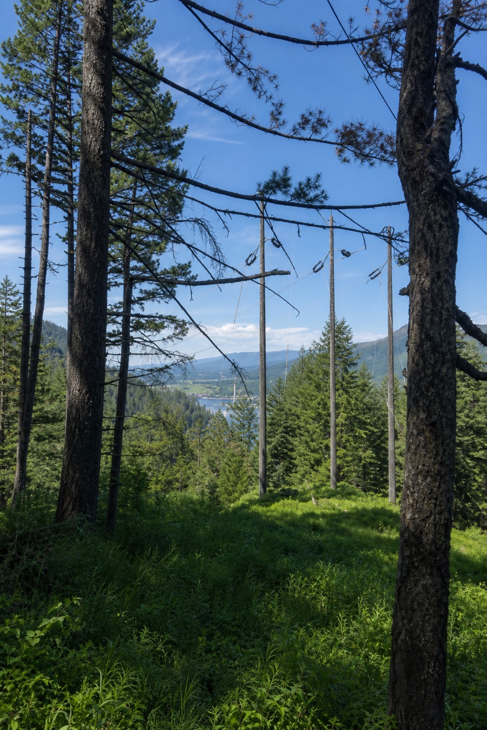 108Buck Point TrailSteep steps lead to a Gorge river view beneath the powerlines.
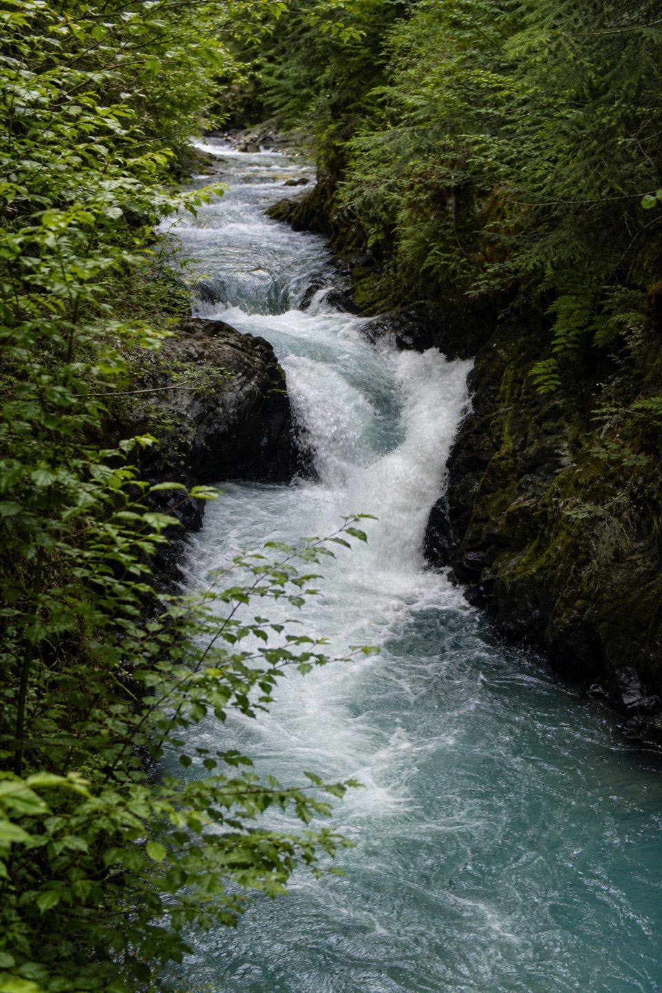 109BZ TrailA half-mile riverside walk reaches a small-canyon waterfall.
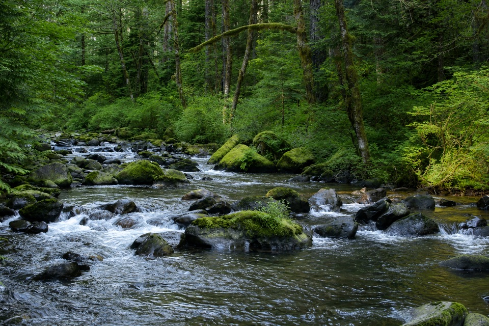 110Moffett Creek Trail #430A steep wilderness traverse to Von Ahn Rim and a tucked-away pond.
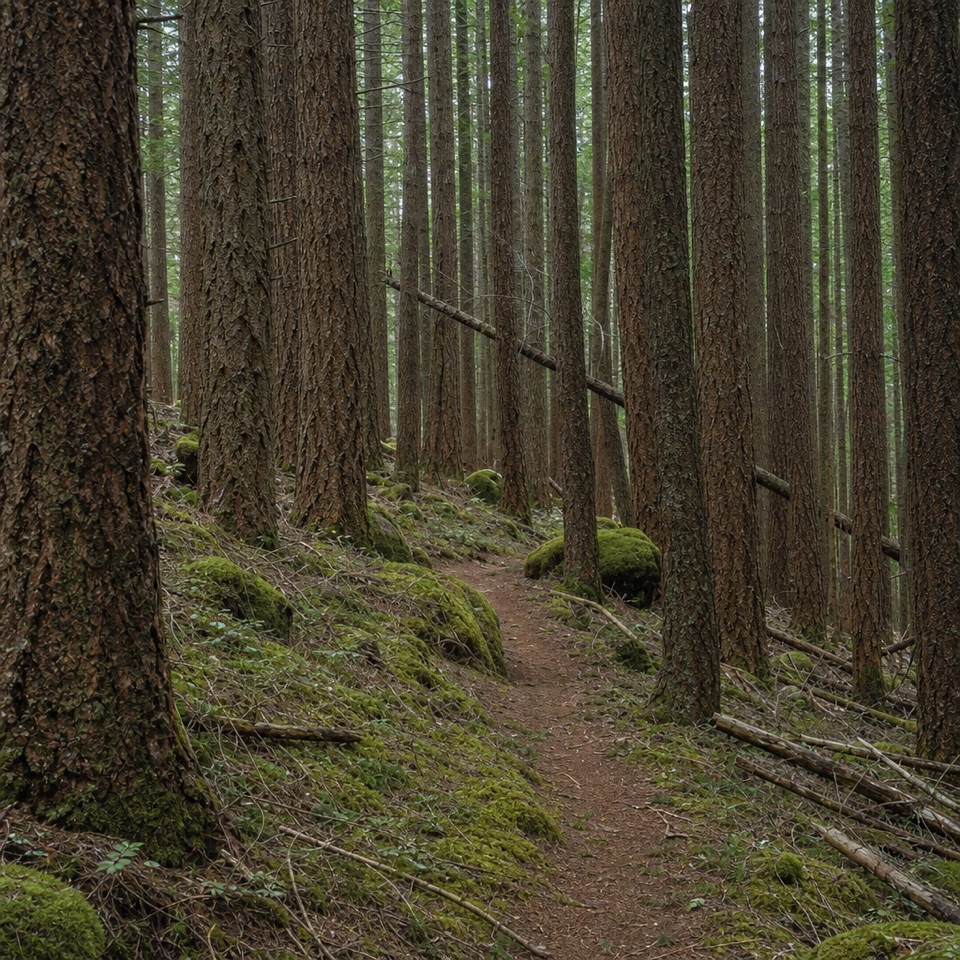 111Deadwood Trail #422A faint wilderness link between two longer routes.
The highest, rockiest slopes around here are a summer buffet for grizzly bears.
Columbia River Gorge Tour Guide
Columbia River Gorge, narrated.
Parkwolf is a GPS audio tour guide for Columbia River Gorge National Scenic Area. As you drive, it chimes in with what’s ahead: hidden gems, upcoming stops, history, geology, and wildlife, right through your car’s speakers.
Recorded for this place
Multnomah Falls and Lodge0:00 / 0:36
“You're approaching Multnomah Falls and its historic lodge. The falls drop about six hundred and twenty feet in two tiers, with Benson Bridge crossing between them.”
Plays as you drive up to Multnomah Falls in the Parkwolf Columbia River Gorge Tour Guide.
More stories near here in the app
- Benson State Recreation Area
- Wahkeena Falls
- The Falls’ Hidden Supply
- St. Cloud Day Use Area
- 217 audio storiesacross Columbia River Gorge’s roads, triggered by GPS as you drive
- Wildlife heatmapsfor Bald Eagle, Black Bear, American Pika, and 13 more
- Works offlinemaps, 111 trails, 78 places, and audio download before you lose signal
- CarPlay readysimple controls built for the drive
“Fantastic app with many points of information… It’s great to just turn on while you’re driving and it gives you an audio tour of the national Park. We love it!!!!”

