Pacific Crest Trail in Crater Lake National Park

Crater Lake National Park, OR

Pacific Crest Trail

A 33-mile crossing through pumice, forest, and open burn.

Photo: National Park Service
Length
33mi
Time
14hr
Elev. change
1,024ft
Difficulty
Challenging
  • Dogs allowed
  • High point 6,572 ft
Parkwolf audio tour58 stories across Crater Lake’s roads

Overview

About Pacific Crest Trail

Why go

  • A true park-length PCT crossing, with pumice flats and open burned country.
  • Three documented road access points let hikers plan shorter sections.

Heads up

  • The full 33 miles is a major one-way commitment with no single trailhead lot.
  • Backcountry water sources can dry by late summer.

Map & elevation

The route

Loading the Crater Lake map
Full map
Elevation5,548–6,572 ft
TrailheadPacific Crest Trail at the park's southern boundary42.80118, -122.17579
Keep this map with you offline in the Parkwolf app

Plan your hike

Before you go

Parking

No single lot serves the full 33-mile crossing. The park lists road access on Highway 62, North Entrance Road, and Highway 138 for southbound PCT hikers. Its shorter Highway 62 to North Entrance Road itinerary is about 18 miles and requires two vehicles; parking capacity and fees for the full corridor were not verified.

Safety

This is a long, exposed through-route with scarce water and major elevation changes. Many backcountry sources typically dry by late July or early August; treat creek water. Patchy snow can persist through June. A backcountry permit is required for overnight camping except for the PCTA through-hike permit and register exception on the main PCT corridor or at Grouse Hill.

2 active Crater Lake alerts

  • ClosureCleetwood Cove Trail closed for rehabilitationCleetwood Cove Trail is closed to the public during construction to rehabilitate the trail and marina.Official details
  • CautionPinnacles Road restricted to hikers and bicyclistsPinnacles Road is open only to hikers and bicyclists because of a road construction project; motor vehicles cannot use it.Official details
Crater Lake alerts
A park ranger sits on a dash-mounted phone, talking, as Parkwolf’s Tour Guide plays “Army Cutworm Moths: A Grizzly Bear Buffet” on Grand Loop Road below Dunraven Pass in Yellowstone
Parkwolf Tour GuideThe highest, rockiest slopes around here are a summer buffet for grizzly bears.

Crater Lake Tour Guide

Your drive to Pacific Crest Trail, narrated.

Parkwolf is a GPS audio tour guide for Crater Lake National Park. As you drive, it chimes in with what’s ahead: hidden gems, upcoming stops, history, geology, and wildlife, right through your car’s speakers.

See the Crater Lake audio tour

More stories near here in the app

  • Lodgepole Picnic Area and Pumice Flat
  • Annie Falls Picnic Area
  • When Snow Turns Pink
  • A Jay's Winter Stores
  • 58 audio storiesacross Crater Lake’s roads, triggered by GPS as you drive
  • Wildlife heatmapsfor Black Bear, Mule Deer, Common Raven, and 13 more
  • Works offlinemaps, 34 trails, 49 places, and audio download before you lose signal
  • CarPlay readysimple controls built for the drive
★★★★★
“Fantastic app with many points of information… It’s great to just turn on while you’re driving and it gives you an audio tour of the national Park. We love it!!!!”
JMJamesApp Store review
Download Parkwolf on the App StoreGet Parkwolf on Google Play

4.7 from 8,600+ ratings

Trail guide

Hiking Pacific Crest Trail

The main PCT through the parkThe Pacific Crest Trail crosses Crater Lake National Park as a 33-mile, one-way route between…

The Pacific Crest Trail crosses Crater Lake National Park as a 33-mile, one-way route between the park's southern and northern access points. This is a through-hike, not a loop. I'd plan on about 14 hours of moving time for the full length; the park's shorter Highway 62 to North Entrance Road crossing is about 18 miles and is listed at 7½ hours, with two vehicles needed. The six-mile caldera-rim route is a separate alternate that climbs from Dutton Creek and rejoins the PCT at Grouse Hill, so it is not part of this route.

Use the access that fits your tripThe park lists PCT access on Highway 62, North Entrance Road, and Highway 138 for southbound…

The park lists PCT access on Highway 62, North Entrance Road, and Highway 138 for southbound hikers. Those are useful road crossings, but no single lot serves the full boundary-to-boundary walk. This is a better fit for a through-hiker or a carefully arranged shuttle than an improvised day hike. The trail is pet friendly.

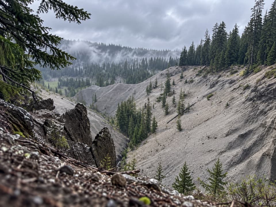
Pumice flats and burned forestThe walk passes through pumice flats and forest, with noticeable changes in elevation.

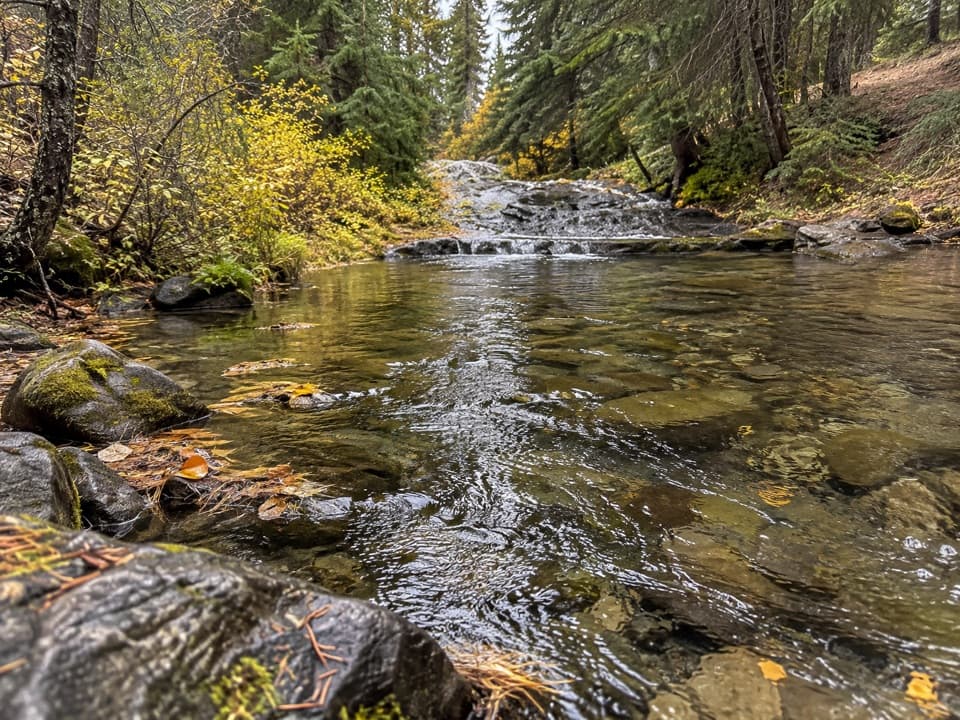
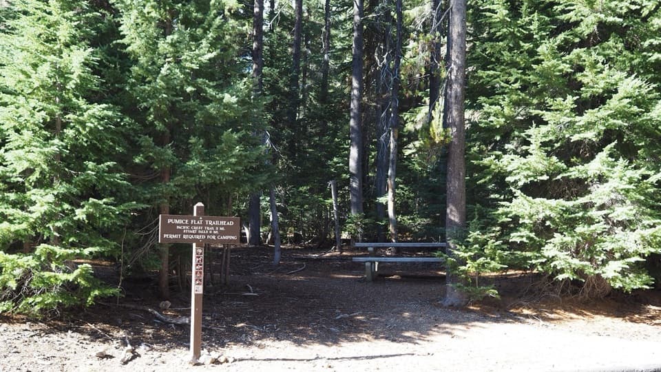
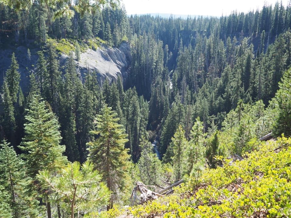
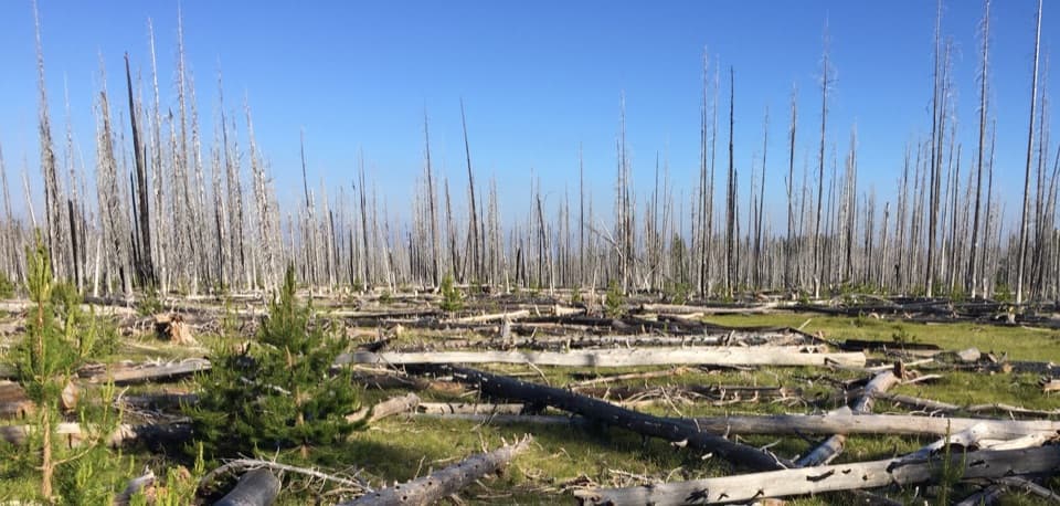
The walk passes through pumice flats and forest, with noticeable changes in elevation. Around Pumice Flat, the first half-mile is shaded before the route opens into pumice, burned trees, grassy meadows, wildflowers, and pollinator habitat. North of Red Cone, the PCT crosses a very exposed, relatively flat burned area. It passes the cone; there is no trail to the summit.

Water is the main constraintWater is scarce in the park backcountry.

Water is scarce in the park backcountry. In a typical year, many springs and creek sources dry by late July or early August. The park recommends carrying at least a gallon per person and treating creek water. Build your plan around the water you can verify, not the blue lines on a map.

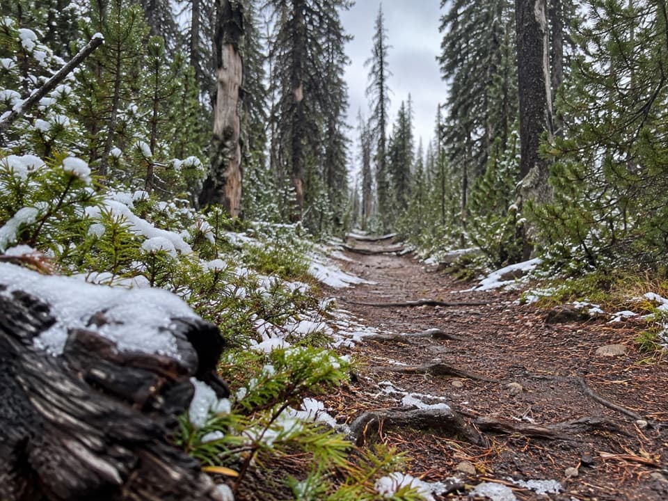
Snow and camping rulesExpect patchy snow through June, and the route has large elevation changes.

Expect patchy snow through June, and the route has large elevation changes. Backcountry camping requires a permit. PCT hikers with a PCTA through-hike permit can sign the park's north and south registers to camp on the main PCT corridor or at Grouse Hill; other backcountry camping requires a park permit. Camping is prohibited on the caldera-rim alternate.

A route with a longer historyThis Oregon section follows a landscape crossed by the earlier Oregon Skyline Trail, one of the…

This Oregon section follows a landscape crossed by the earlier Oregon Skyline Trail, one of the first built parts of the route that became the PCT. The full Mexico-to-Canada trail was completed and first hiked in 1972.

Wildlife

Wildlife in Crater Lake

All Crater Lake wildlife maps

Sighting maps show where each species has been reported across Crater Lake. Wildlife moves, so no sighting is guaranteed.

Keep exploring

Near Pacific Crest Trail

See it all on the map

Trails that start nearby

Places near the trailhead

Parkwolf’s Crater Lake ranking

Top-rated trails in Crater Lake

All 34 trails
  1. 1Garfield Peak TrailModerate · 3.6 mi
  2. 2Watchman Peak TrailModerate · 1.6 mi
  3. 3Mount Scott TrailChallenging · 4.4 mi
  4. 4Cleetwood Cove TrailChallenging · 2.2 mi
  5. 5Wizard Island Summit TrailModerate · 2.4 mi
  6. 6Sun Notch TrailEasy · 0.8 mi

Take Parkwolf to Crater Lake.

The audio tour guide for the drive, plus offline maps, trails, and wildlife heatmaps for when the signal drops.

4.7 from 8,600+ ratings

Download Parkwolf on the App StoreGet Parkwolf on Google Play