1 active Cuyahoga Valley alert
- ClosureCuyahoga River closure and paddling hazardsMentions Cuyahoga River, referenced in this guideDo not paddle through the river-mile-17 closure or the woody-debris hazard upstream of Lock 39.Official details
Sight · Cuyahoga Valley National Park
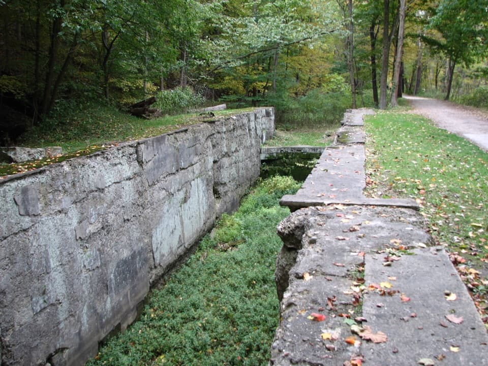
Boat jams, pole jousts and a stone lock beside the Towpath.
Overview
Map
Plan your stop

The highest, rockiest slopes around here are a summer buffet for grizzly bears.
Cuyahoga Valley Tour Guide
Parkwolf is a GPS audio tour guide for Cuyahoga Valley National Park. As you drive, it chimes in with what’s ahead: hidden gems, upcoming stops, history, geology, and wildlife, right through your car’s speakers.
See the Cuyahoga Valley audio tourRecorded for this place
Peninsula Village and Depot“Peninsula village is ahead, with the depot, canal history, and food stops close enough to combine on foot. Use Lock Twenty-Nine parking, and allow extra walking time if the lot fills.”
Plays as you drive up to Lock 30 in the Parkwolf Cuyahoga Valley Tour Guide.
More stories near here in the app
“Fantastic app with many points of information… It’s great to just turn on while you’re driving and it gives you an audio tour of the national Park. We love it!!!!”


Guide
Lock 30 is a surviving stone lock on the Ohio & Erie Canal in Peninsula, with an interpretive exhibit about the troublesome stretch between Locks 29 and 30. Stop if you like the working history behind an old travel route; the overgrown lock channel reads as a remnant, not a polished reconstruction.
Park at Lock 29 Trailhead on Mill Street and walk north on the Towpath. The directions don't give a distance, so check a map if the length matters. Lock 30 is marked wheelchair accessible, though the approach surface and grade aren't described. The Lock 29 lot serves several popular activities and can be busy.
The canal opened in 1832 after construction from 1825, linking the Ohio River at Portsmouth with Lake Erie at Cleveland. The exhibit explains how this section could snarl traffic: boats waited near the Lock 29 aqueduct and bend, and some wedged in shallow water because of excess cargo, leaks, or sediment. Canal crews drained sections and cleared mud with shovels and wheelbarrows; freeing a wedged boat meant unloading it, shifting it, then reloading it. When two boats reached a lock together, the boat coming upstream had right of way. Disputes could turn into pole jousting.
The nearby Peninsula Feeder, built in 1830, diverted water from the Cuyahoga River to help keep the canal about four feet deep for boats. Its sluice walls and gates were part of the same practical system as the locks: move boats through, and keep enough water in the channel for them to float.
Wildlife
 321 sightingsBald EagleMost seen around 7 AMSighting map
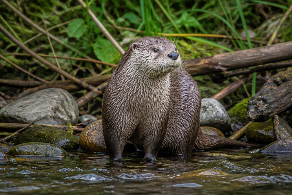 12 sightingsRiver OtterMost seen around 7 AMSighting map
 103 sightingsCoyoteMost seen around 7 PMSighting map
 251 sightingsBeaverMost seen around 8 PMSighting map
 498 sightingsWhite-tailed DeerMost seen around 6 AMSighting map
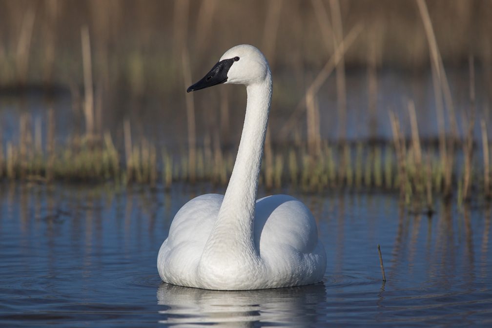 104 sightingsTrumpeter SwanMost seen around 5 PMSighting map
Sighting maps show where each species has been reported across Cuyahoga Valley. Wildlife moves, so no sighting is guaranteed.
Keep exploring
 ModerateQuarry Trail1.4 mi · 1 hr · 1.1 mi awayOld millstones and quarry steps reward this short wooded walk.
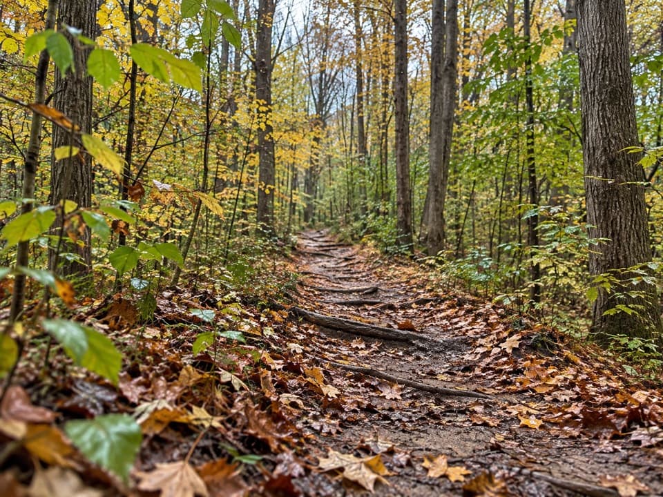 ModerateWildlife Woods Trail0.8 mi · 45 min · 1.1 mi awayA short, rooty climb with a longer trail loop nearby.
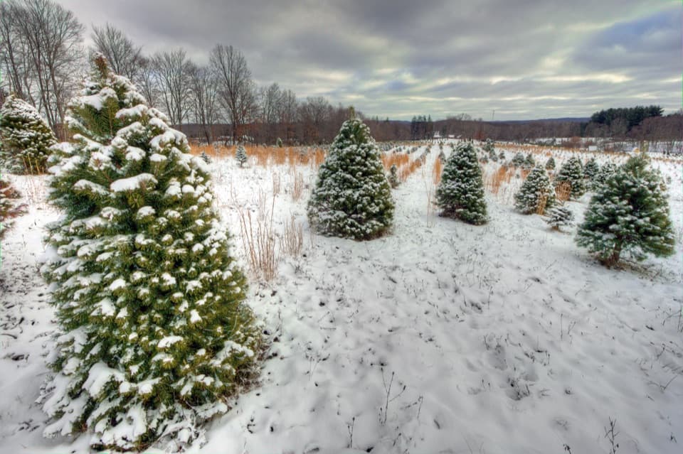 ModerateTree Farm Trail2.8 mi · 1.5 hr · 1.2 mi awayOld field rows and recovering woods make a quietly changing loop.
 ModerateBoston to Peninsula Buckeye and Towpath Loop7.4 mi · 4 hr · 1.2 mi awayClimb wooded ravines, then coast back beside the historic canal.
 ModerateBuckeye Trail Loop7.1 mi · 4 hr · 1.2 mi awayTake the hilly Buckeye leg out and flat Towpath back.
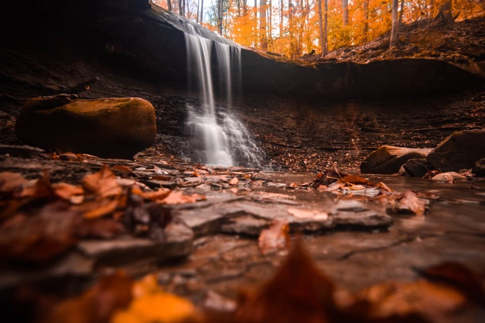
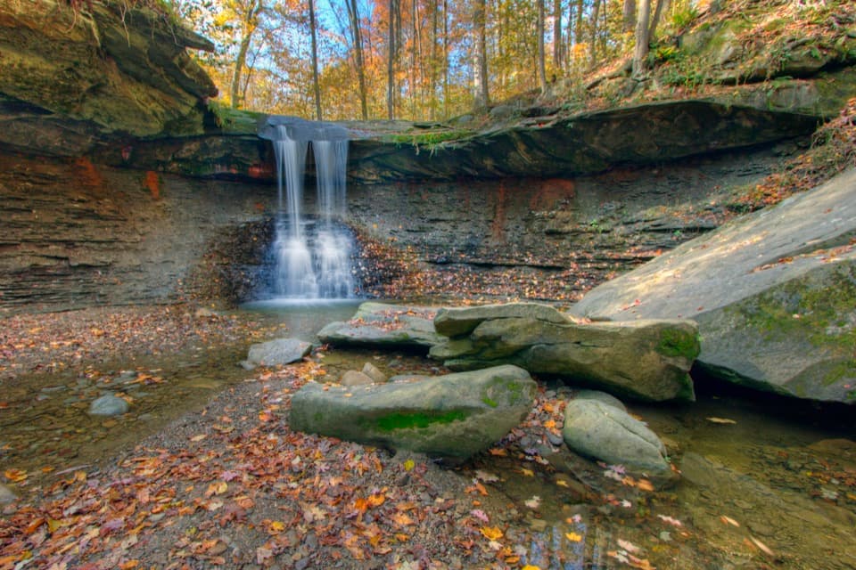 ModerateBlue Hen Falls Trail3 mi · 1.5 hr · 1.2 mi awayA steep Buckeye Trail climb ends at a 15-foot waterfall.
 ModerateButtermilk Falls via Blue Hen Falls3.5 mi · 2.5 hr · 1.2 mi awayTwo waterfalls, steep ridges, and a rough creekside finish.
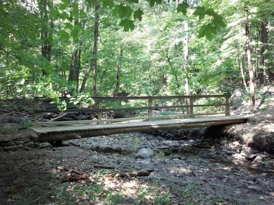 ModerateStanford Trail3.5 mi · 2.5 hr · 1.9 mi awayA wooden creek bridge and switchbacks lead to the falls.Sight · 0.3 mi awayLock 29Step inside a sandstone lock that bottlenecked canal traffic.
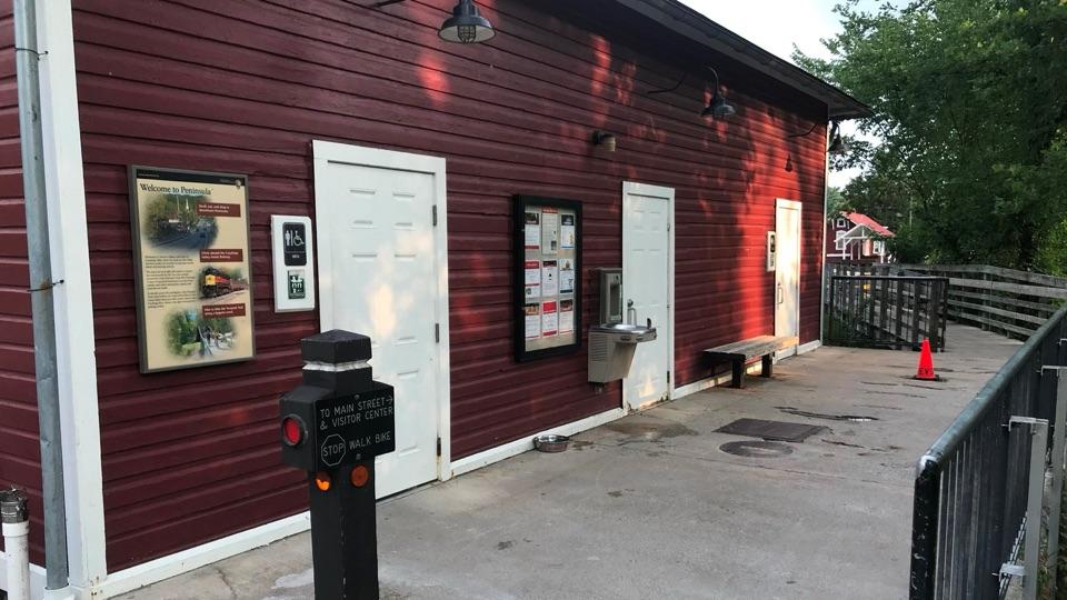 Restroom · 0.3 mi awayPeninsula Public RestroomsA practical trailhead stop with flush toilets and a railroad story.
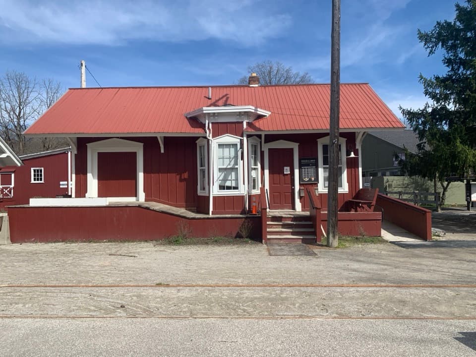 Sight · 0.4 mi awayPeninsula DepotCatch a train from the valley's only surviving historic depot.
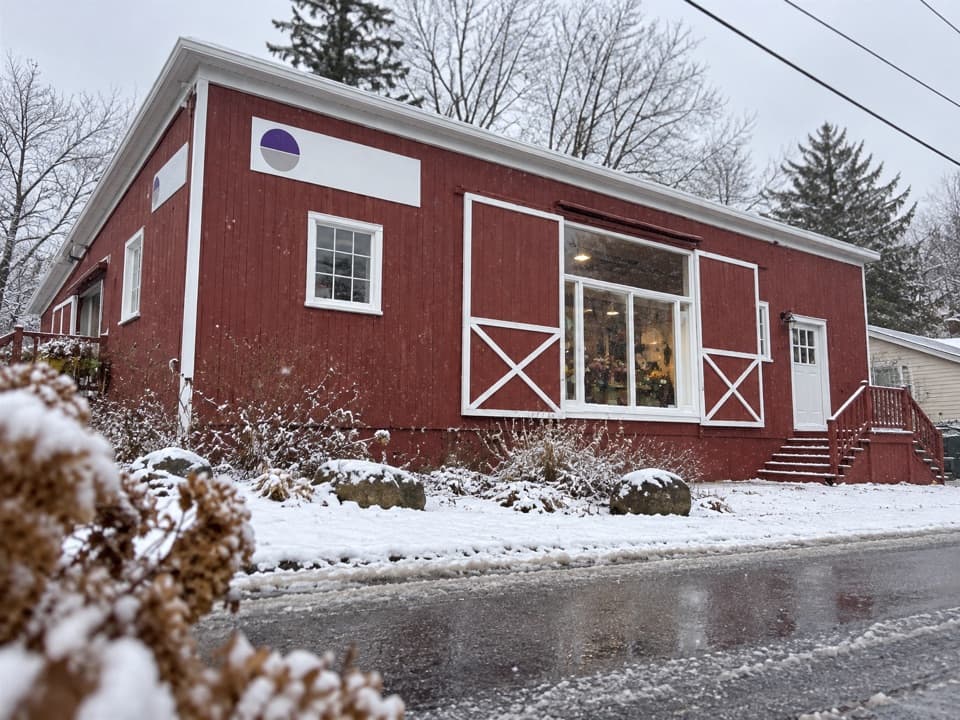 Store · 0.4 mi awayPurplebrown Farm StoreLocal groceries, coffee, and seasonal lunch in Peninsula.
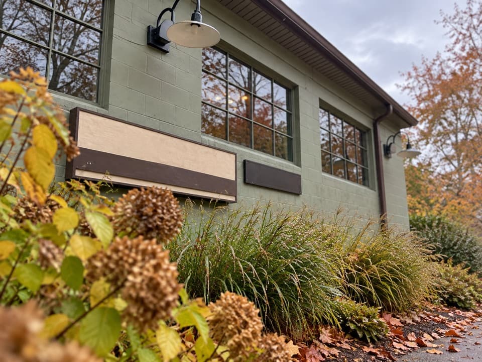 Store · 0.4 mi awayTrail Mix PeninsulaGifts, ice cream, and a train track right beside the shop.
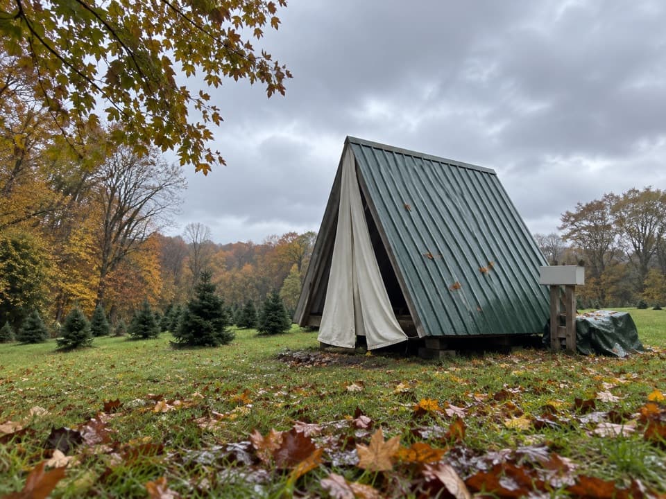 Campground · 0.5 mi awayHeritage FarmsChristmas trees, fall pumpkins, and walk-in camping.
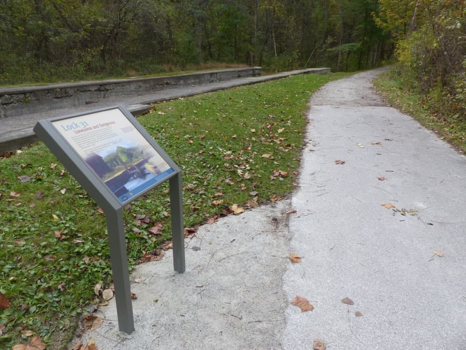 Sight · 0.6 mi awayLock 31One stop in a 44-lock, 395-foot canal ascent.
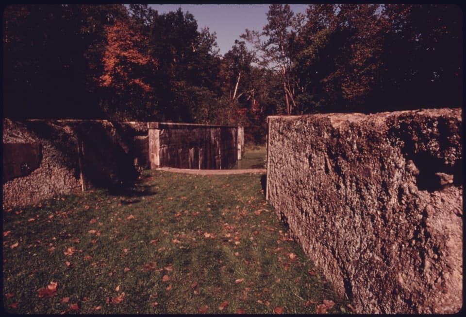 Sight · 0.8 mi awayDeep Lock QuarryA wooded hike to historic quarry walls and the canal's deepest lock.
Parkwolf’s Cuyahoga Valley ranking

The audio tour guide for the drive, plus offline maps, trails, and wildlife heatmaps for when the signal drops.