Parking
Use the Deep Lock Quarry Metro Park entrance lot at 5779 Riverview Road, Peninsula. The park map marks parking, restrooms and picnic sites by the trailhead.
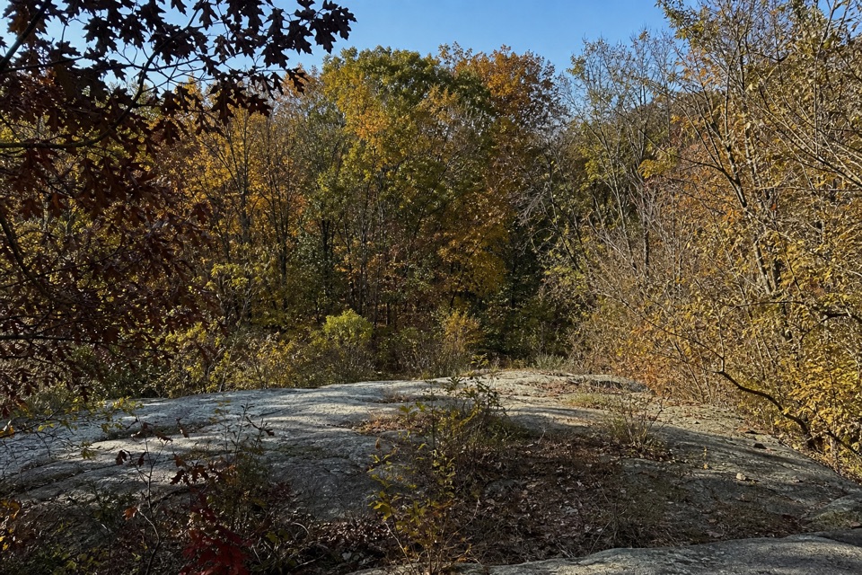
Cuyahoga Valley National Park, OH
Old millstones and quarry steps reward this short wooded walk.
Overview
Map & elevation
Plan your hike

The highest, rockiest slopes around here are a summer buffet for grizzly bears.
Cuyahoga Valley Tour Guide
Parkwolf is a GPS audio tour guide for Cuyahoga Valley National Park. As you drive, it chimes in with what’s ahead: hidden gems, upcoming stops, history, geology, and wildlife, right through your car’s speakers.
Recorded for this trailhead
Deep Lock Quarry“You're nearing the trailhead for Deep Lock Quarry, where a wooded walk takes you past old quarry walls and discarded millstones.”
Plays as you drive up to this trailhead in the Parkwolf Cuyahoga Valley Tour Guide.
More stories near here in the app
“Fantastic app with many points of information… It’s great to just turn on while you’re driving and it gives you an audio tour of the national Park. We love it!!!!”


Trail guide
The Quarry Trail is a short, moderate network of connected loops through Deep Lock Quarry Metro Park. The posted route is 1.4 miles; walking the complete mapped circuit from the entrance, including the short paved access link, measures about 1.5 miles. The route passes through woods to quarry steps, scattered millstones, building foundations and views toward the Cuyahoga River. Allow about an hour, with a little extra time to stop at the stonework.
Start near the Riverview Road entrance and take the short paved shared path to the Quarry Trail network. The trail branches into linked loops rather than one simple circle, so follow the Quarry Trail line on the park map. The Towpath and Buckeye Trail are separate routes. A multipurpose connection leads toward Lock 28 and the canal Towpath; continuing along it adds a different walk, not more of the Quarry Trail. The shared path is used by cyclists.
The quarry supplied Berea sandstone for canal locks and other structures. Later, Ferdinand Schumacher had millstones cut here to process oats for Akron's American Cereal Works, later known as Quaker Oats. You pass discarded stones and building foundations as you walk through the old quarry. The last stone was removed in the 1930s by the Civilian Conservation Corps for Metro Parks facilities.
Lock 28, the deepest lock on the Ohio & Erie Canal at 17 feet, sits off the separate multipurpose link. Seeps through the porous sandstone created a shallow swamp on the quarry floor, and the old canal bed provides habitat for frogs, turtles and salamanders. The park is also an Important Bird Area used by nesting migrants, including hybrid warblers; wildlife sightings vary.
Wildlife
 319 sightingsBald EagleMost seen around 7 AMSighting map
 12 sightingsRiver OtterMost seen around 7 AMSighting map
 103 sightingsCoyoteMost seen around 7 PMSighting map
 248 sightingsBeaverMost seen around 8 PMSighting map
 492 sightingsWhite-tailed DeerMost seen around 6 AMSighting map
 99 sightingsTrumpeter SwanMost seen around 5 PMSighting map
Sighting maps show where each species has been reported across Cuyahoga Valley. Wildlife moves, so no sighting is guaranteed.
Keep exploring
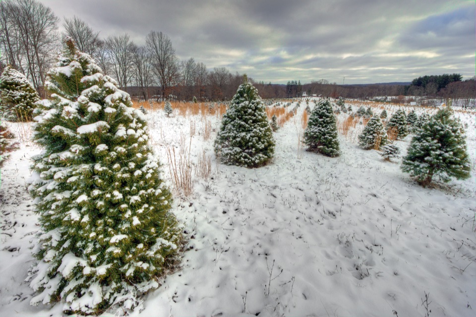 ModerateTree Farm Trail2.8 mi · 1.5 hr · 0.8 mi awayOld field rows and recovering woods make a quietly changing loop.
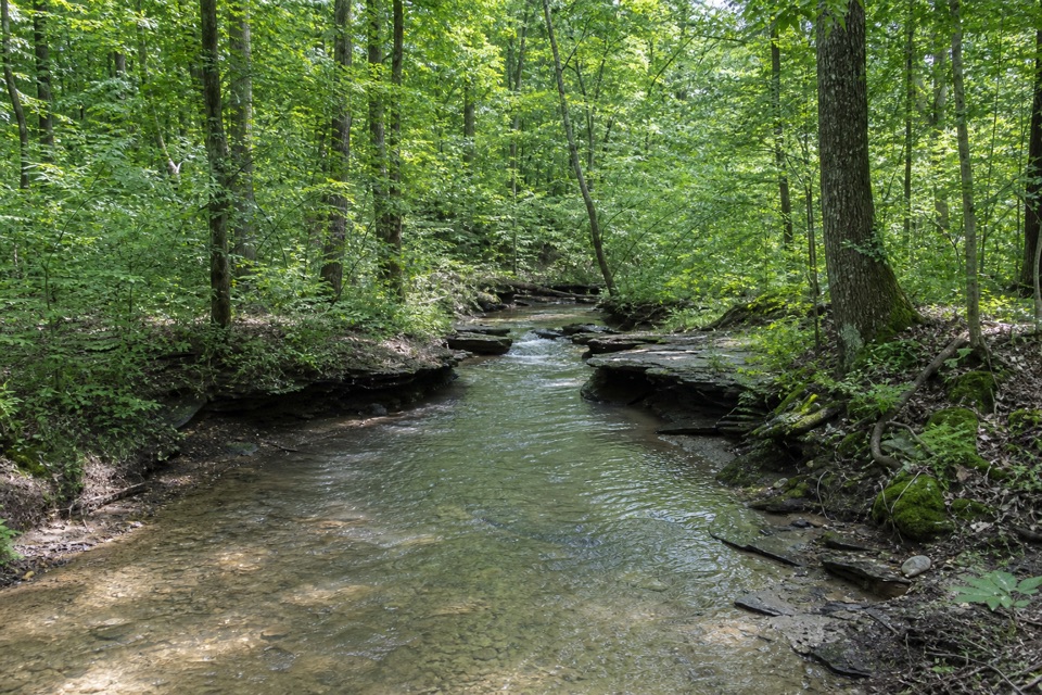 ModerateWetmore Trail4.6 mi · 2.5 hr · 1.3 mi awayA hilly woods loop with creeks and old farm paths
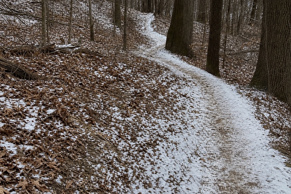 ModerateLanges Run Trail3.3 mi · 2.5 hr · 1.3 mi awayA hilly woodland trail shared with horses, creeks and wildflowers
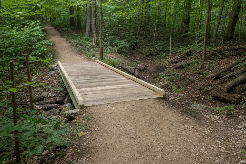 EasyTabletop Trail0.7 mi · 30 min · 1.3 mi awayA short dirt segment through the Wetmore trail network.
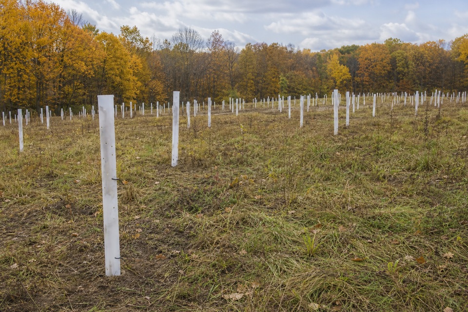 EasyButlers Trail0.7 mi · 18 min · 1.3 mi awayA short rolling dirt path into the Wetmore trail network.
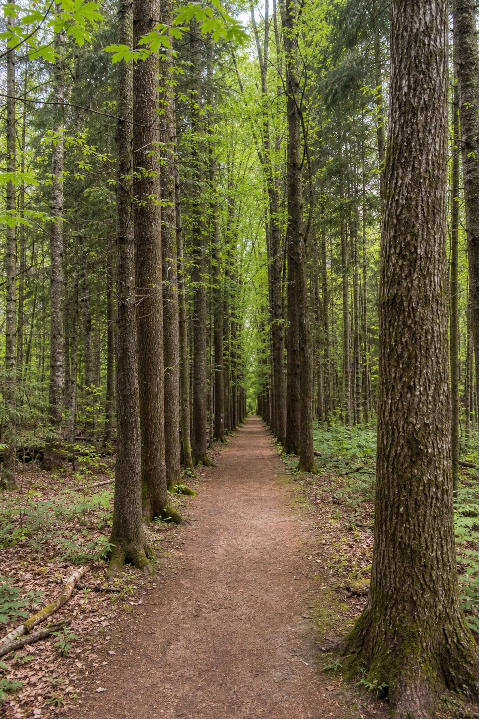 ModeratePlateau Trail4.6 mi · 2.5 hr · 1.4 mi awayA long woodland loop past three ponds and a pine corridor
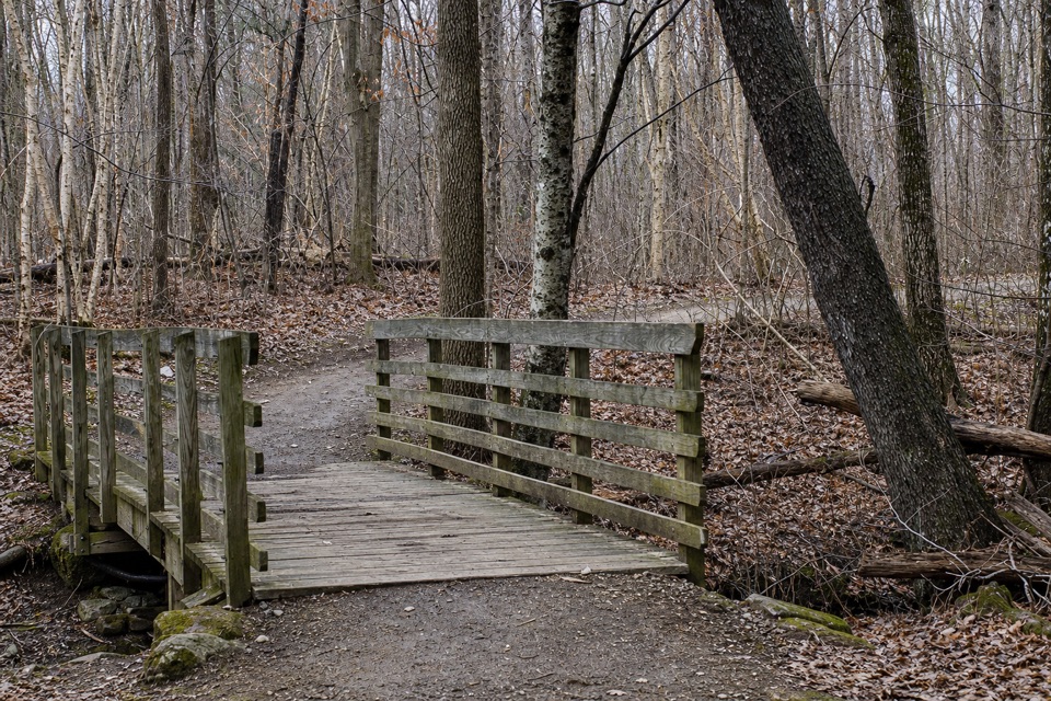 EasyOak Hill Trail1.4 mi · 45 min · 1.4 mi awayA gentle loop past Sylvan Pond and old farm traces.
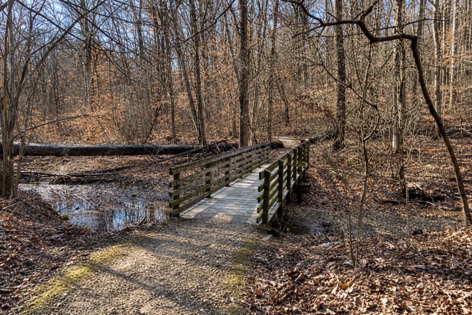 ModerateSalt Run Trail3.3 mi · 2 hr · 1.6 mi awayA 3.3-mile woods loop with bridges, ravines and a long stair climb.
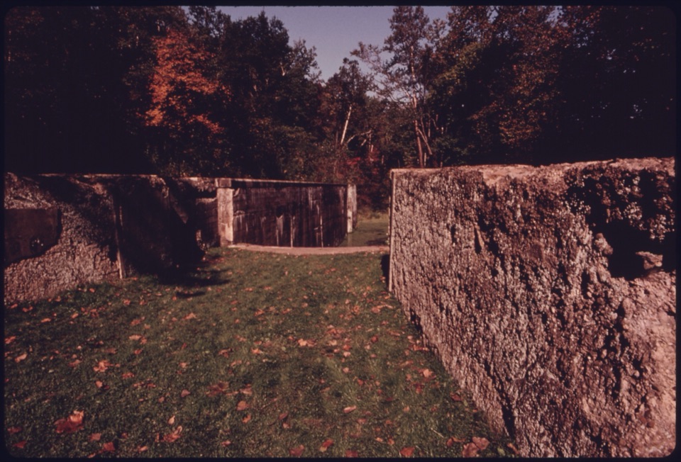 Sight · 0.3 mi awayDeep Lock QuarryA wooded hike to historic quarry walls and the canal's deepest lock.
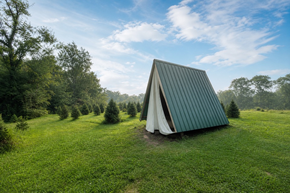 Campground · 0.6 mi awayHeritage FarmsChristmas trees, fall pumpkins, and walk-in camping.
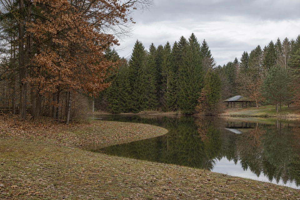 Sight · 0.8 mi awayHorseshoe PondA calm pond stop for fishing, a picnic, or a short walk.
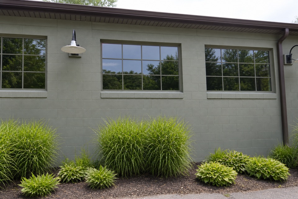 Store · 0.9 mi awayTrail Mix PeninsulaGifts, ice cream, and a train track right beside the shop.
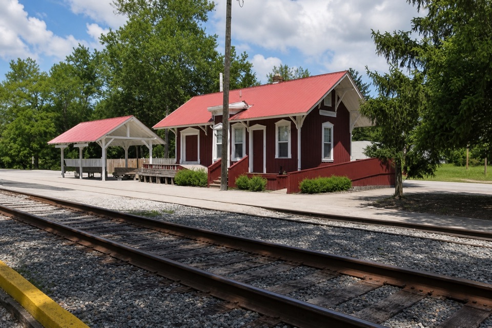 Sight · 0.9 mi awayPeninsula DepotCatch a train from the valley's only surviving historic depot.
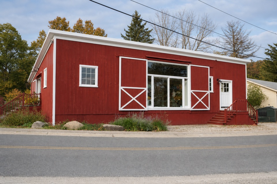 Store · 0.9 mi awayPurplebrown Farm StoreLocal groceries, coffee, and seasonal lunch in Peninsula.
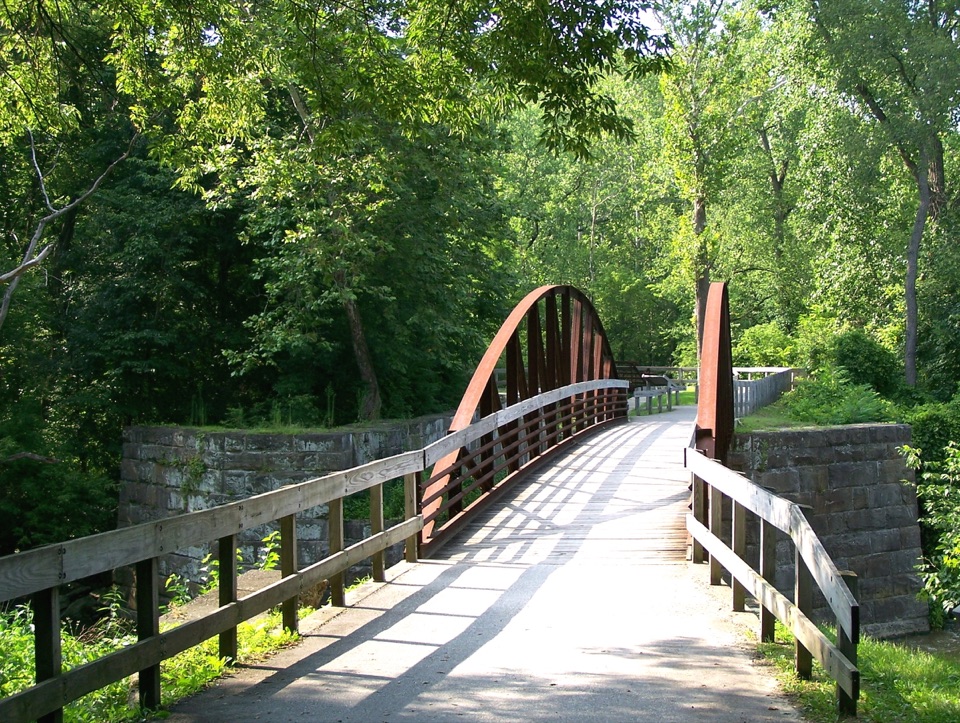 Sight · 0.9 mi awayLock 29Step inside a sandstone lock that bottlenecked canal traffic.
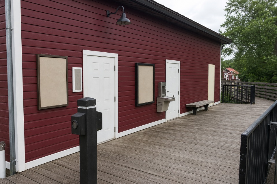 Restroom · 0.9 mi awayPeninsula Public RestroomsA practical trailhead stop with flush toilets and a railroad story.
Parkwolf’s Cuyahoga Valley ranking

The audio tour guide for the drive, plus offline maps, trails, and wildlife heatmaps for when the signal drops.





