Parking
Wetmore Trailhead at Robinson Field, on Wetmore Road. The lot is primarily for horse trailers; hiker parking is available at Pine Hollow, 5465 Quick Road. Wetmore has an accessible vault restroom.
Cuyahoga Valley National Park, OH
A short rolling dirt path into the Wetmore trail network.
Overview
Map & elevation
Plan your hike

The highest, rockiest slopes around here are a summer buffet for grizzly bears.
Cuyahoga Valley Tour Guide
Parkwolf is a GPS audio tour guide for Cuyahoga Valley National Park. As you drive, it chimes in with what’s ahead: hidden gems, upcoming stops, history, geology, and wildlife, right through your car’s speakers.
Recorded for this trailhead
Wetmore Trailhead“You're approaching Wetmore Trailhead, where the four-point-six-mile Wetmore loop follows old horse paths and logging roads through woods and creek valleys.”
Plays as you drive up to this trailhead in the Parkwolf Cuyahoga Valley Tour Guide.
More stories near here in the app
“Fantastic app with many points of information… It’s great to just turn on while you’re driving and it gives you an audio tour of the national Park. We love it!!!!”


Trail guide
Butlers Trail is a 0.7-mile point-to-point dirt path through rolling hills south of Wetmore Road. Expect about 150 feet of elevation change and roughly 20 minutes one way. The mapped route continues toward the Langes Run network; it is a corridor, not a loop. The distance convention is not stated, so treat 0.7 miles as one way. Retracing it would be about 1.4 miles, plus the walk between the parking area and the path.
Begin at Wetmore Trailhead at Robinson Field. The trailhead board directs hikers across Wetmore Road to Butler's and nearby trails. The lot is mainly for horse trailers; hikers can park at Pine Hollow, 5465 Quick Road. An accessible vault restroom is available at Wetmore. There is no named viewpoint or destination documented on this short segment, so it works best as one part of a longer walk.
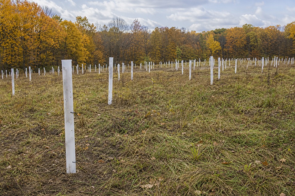
A field of white tree tubes marks habitat restoration at the trailhead. The former Blackacre Farm buildings were removed in 2022, and thousands of young trees were planted to slow runoff into the Cuyahoga River.
This is an unpaved path shared with horses. Give riders the right-of-way and leave room to pass. The dirt can be muddy in spring or after heavy rain. Trails in the wider Wetmore area reuse old horse paths and logging roads, a reminder of the property's farming and equestrian past. Dogs are allowed on park trails on a leash no longer than six feet.
Wildlife
 319 sightingsBald EagleMost seen around 7 AMSighting map
 12 sightingsRiver OtterMost seen around 7 AMSighting map
 103 sightingsCoyoteMost seen around 7 PMSighting map
 248 sightingsBeaverMost seen around 8 PMSighting map
 492 sightingsWhite-tailed DeerMost seen around 6 AMSighting map
 99 sightingsTrumpeter SwanMost seen around 5 PMSighting map
Sighting maps show where each species has been reported across Cuyahoga Valley. Wildlife moves, so no sighting is guaranteed.
Keep exploring
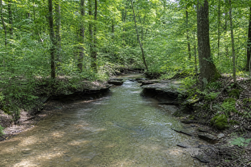 ModerateWetmore Trail4.6 mi · 2.5 hr · At the trailheadA hilly woods loop with creeks and old farm paths
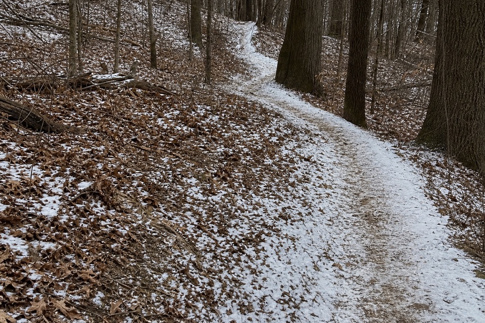 ModerateLanges Run Trail3.3 mi · 2.5 hr · At the trailheadA hilly woodland trail shared with horses, creeks and wildflowers
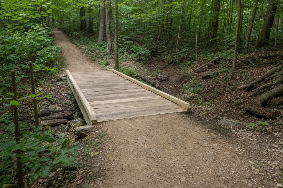 EasyTabletop Trail0.7 mi · 30 min · At the trailheadA short dirt segment through the Wetmore trail network.
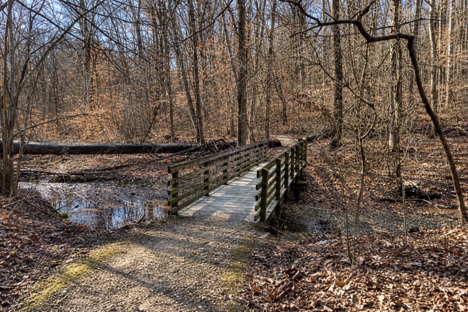 ModerateSalt Run Trail3.3 mi · 2 hr · 0.7 mi awayA 3.3-mile woods loop with bridges, ravines and a long stair climb.
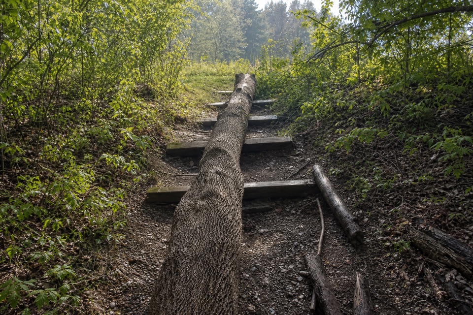 EasyDickerson Run Trail1.2 mi · 40 min · 0.9 mi awayA shaded, gradual connector from Langes Run to Wetmore.
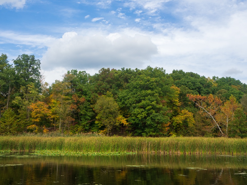 EasyLake Trail1 mi · 45 min · 1.1 mi awayA gentle loop threads a stone tunnel and marshy lake shore.
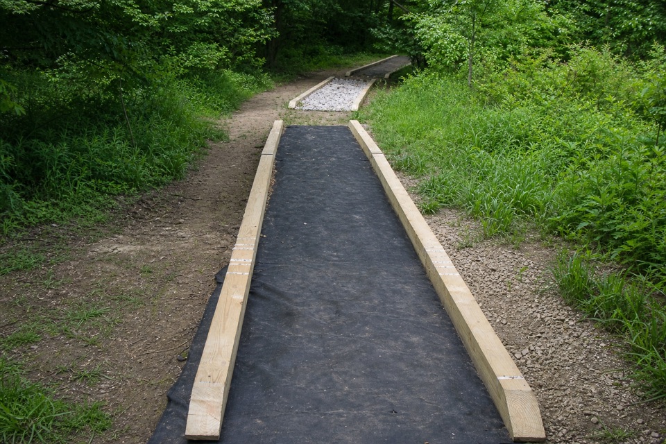 ModerateCross Country Trail2.5 mi · 1.5 hr · 1.1 mi awayA hilly dirt loop through a field returning to forest.
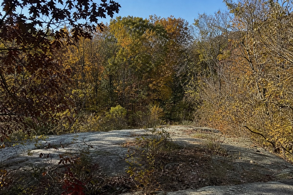 ModerateQuarry Trail1.4 mi · 1 hr · 1.3 mi awayOld millstones and quarry steps reward this short wooded walk.
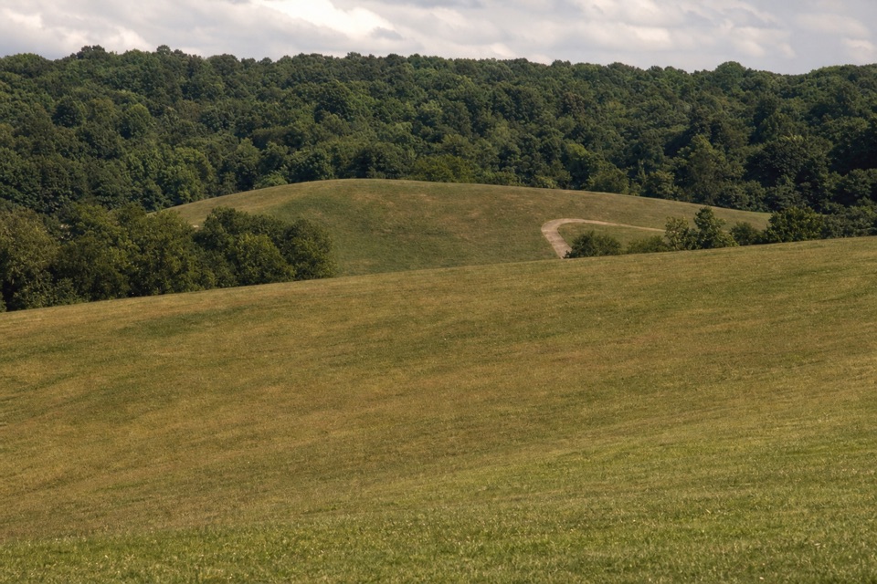 Sight · 0.7 mi awayKendall HillsSledding slopes in winter; trails and meadows through the year.
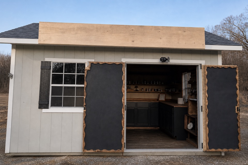 Store · 0.9 mi awayKeleman Point FarmA year-round stand for the farm’s rotating local goods.
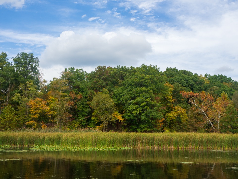 Sight · 1 mi awayKendall LakeA CCC lake, fishing pier and shelter in one easy stop.
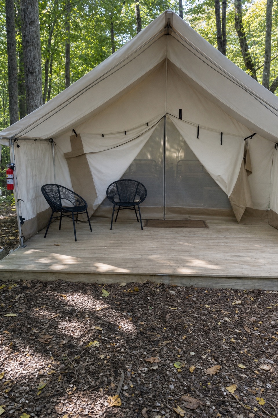 Campground · 1.2 mi awayValley OverlookA wooded base with furnished tents, cabins, and a west-facing valley view.
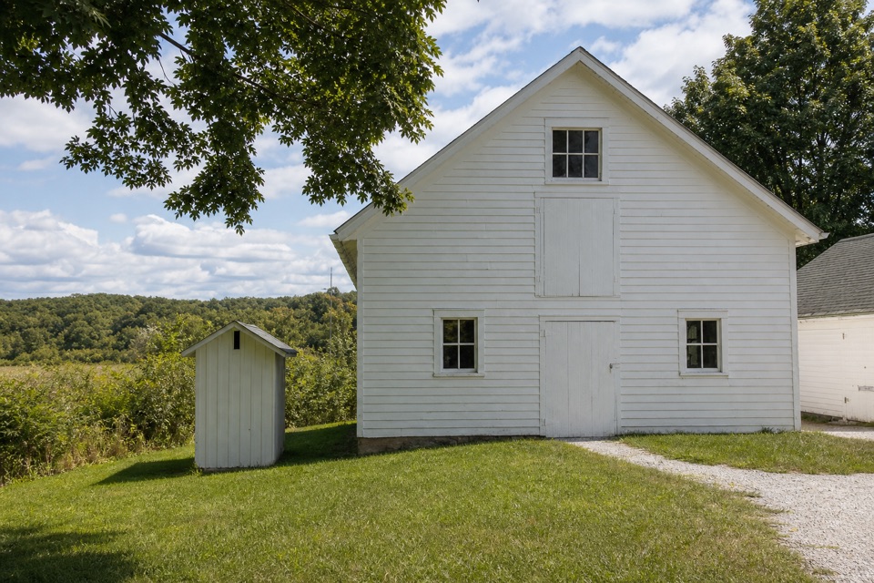 Visitor center · 1.6 mi awayHunt House and Outdoor ExhibitsA small historic house with hands-on stories of life in Everett.
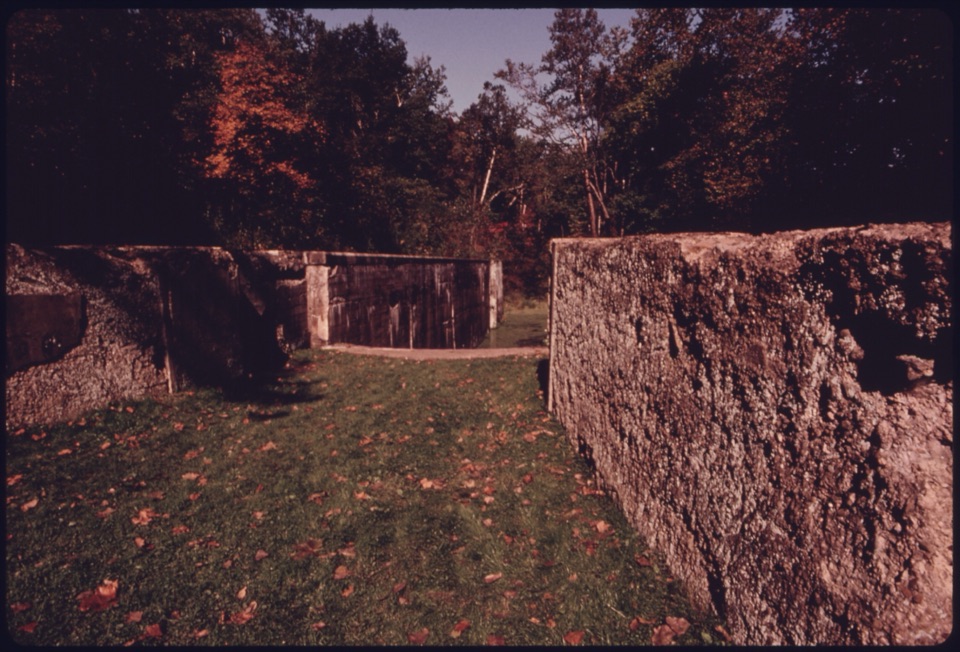 Sight · 1.6 mi awayDeep Lock QuarryA wooded hike to historic quarry walls and the canal's deepest lock.
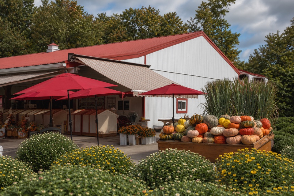 Store · 1.7 mi awaySzalay’s Farm & MarketA farm-market stop for sweet corn and fall fun.
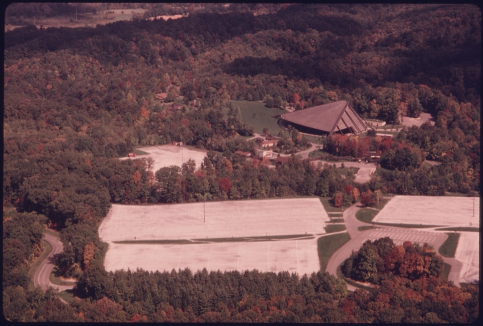 Sight · 1.7 mi awayBlossom Music CenterCleveland Orchestra’s summer home: covered Pavilion, open Lawn.
Parkwolf’s Cuyahoga Valley ranking

The audio tour guide for the drive, plus offline maps, trails, and wildlife heatmaps for when the signal drops.





