1 active Cuyahoga Valley alert
- ClosureCuyahoga River closure and paddling hazardsDo not paddle through the river-mile-17 closure or the woody-debris hazard upstream of Lock 39.Official details
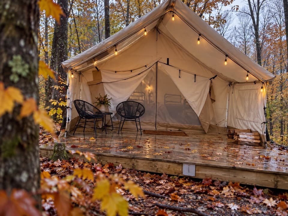
Campground · Cuyahoga Valley National Park
A wooded base with furnished tents, cabins, and a west-facing valley view.


Overview
Map
Plan your stop

The highest, rockiest slopes around here are a summer buffet for grizzly bears.
Cuyahoga Valley Tour Guide
Parkwolf is a GPS audio tour guide for Cuyahoga Valley National Park. As you drive, it chimes in with what’s ahead: hidden gems, upcoming stops, history, geology, and wildlife, right through your car’s speakers.
See the Cuyahoga Valley audio tourRecorded for this area
Szalay’s Farm Market and Hunt House“Szalay's Farm Market is coming up, a seasonal stop for sweet corn beside the Towpath. The family started farming here in nineteen thirty-one, and four generations have kept it going.”
Plays on the road 0.5 mi from Valley Overlook in the Parkwolf Cuyahoga Valley Tour Guide.
More stories near here in the app
“Fantastic app with many points of information… It’s great to just turn on while you’re driving and it gives you an audio tour of the national Park. We love it!!!!”
Guide
Valley Overlook is a private campground on about 62 wooded acres at the former Camp Mueller site, near Cuyahoga Valley National Park. You can book a primitive tent site, a furnished canvas tent, or a four-season cabin. Despite the name, this is overnight lodging, not a public day-use overlook; visitors without a reservation need advance written approval. It makes a handy base about five road miles from Boston Mill Visitor Center.
Camping is not drive-up: most sites are a two- to three-minute walk from parking, and shared flush toilets and showers are a short walk from campsites. Water is available from an outdoor spigot by the office, not at individual sites. Most sites have fire pits with grill attachments, but check the listing for the one you book; outside firewood is prohibited and firewood is sold on site. Pets, RVs, trailers, and vehicle camping are not offered. Wi-Fi is available on the grounds, though coverage can vary by site.
Walk from camp to the ridge line for a west-facing view over the Cuyahoga Valley; late-day light makes the outing especially appealing. The route has no published distance or grade, so treat it as an exploratory walk rather than a measured hike. The Towpath Trail is about half a mile away at the Hunt House Trailhead, but campground trails do not link directly to park trails. For other trailheads, plan on a separate drive. For food, bring groceries for campfire cooking or head to Peninsula or Cuyahoga Falls for a restaurant meal.
Before it became a campground, Camp Mueller opened in 1941 as an overnight youth camp run by Cleveland's Phillis Wheatley Association, founded by social worker Jane Edna Hunter. Its early program served African American girls; by the early 1960s, the camp was described as interracial while remaining predominantly Black. It was named for benefactor Ralph S. Mueller, who bought land for the camp. Young campers swam, made crafts, studied nature, and performed here, giving the place a history that reaches beyond its current role as a place to sleep.
Wildlife
 321 sightingsBald EagleMost seen around 7 AMSighting map
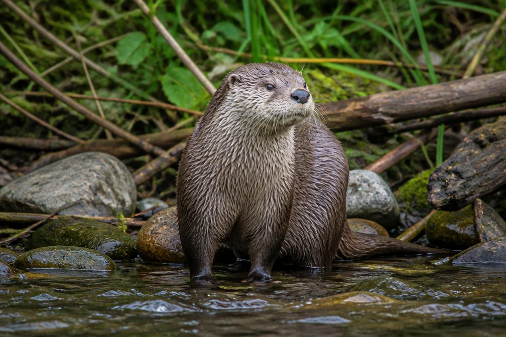 12 sightingsRiver OtterMost seen around 7 AMSighting map
 103 sightingsCoyoteMost seen around 7 PMSighting map
 251 sightingsBeaverMost seen around 8 PMSighting map
 498 sightingsWhite-tailed DeerMost seen around 6 AMSighting map
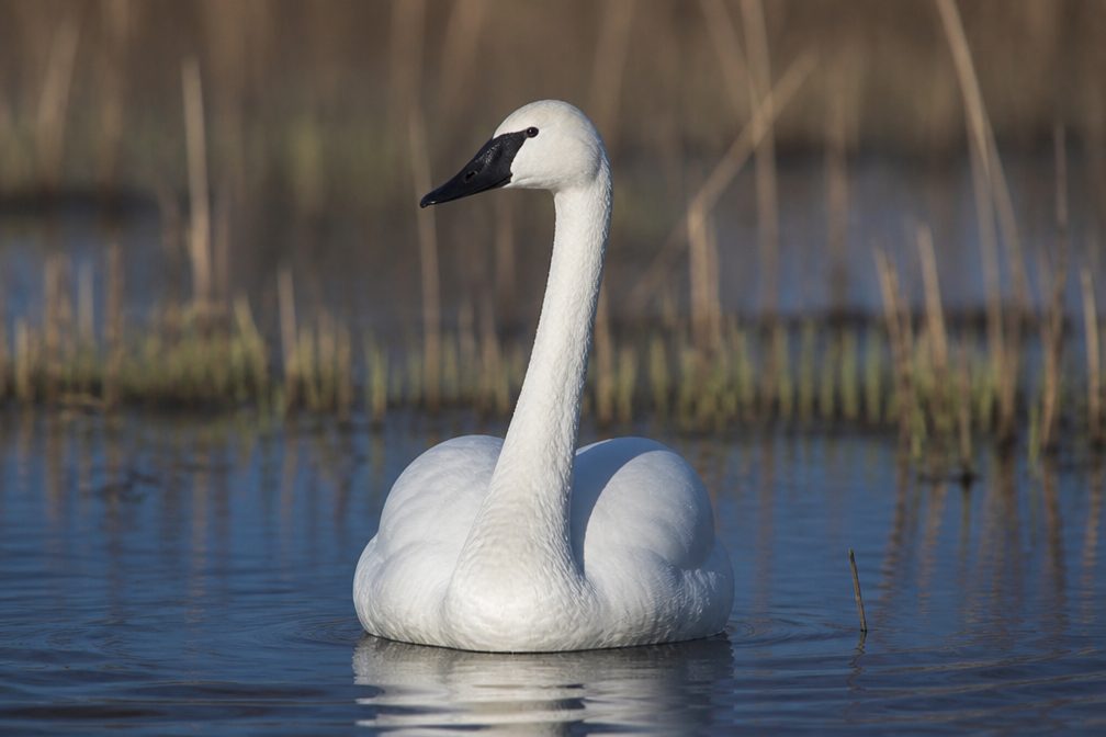 104 sightingsTrumpeter SwanMost seen around 5 PMSighting map
Sighting maps show where each species has been reported across Cuyahoga Valley. Wildlife moves, so no sighting is guaranteed.
Keep exploring
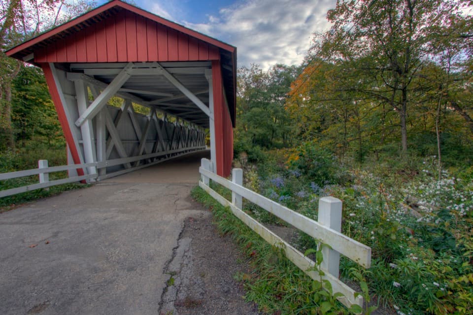 ChallengingPerkins Trail3.8 mi · 2.5 hr · 0.9 mi awayA covered bridge gives way to two rough creek crossings.
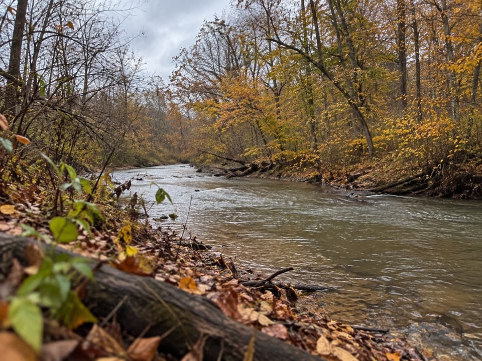 ModerateFurnace Run Trail1.9 mi · 1.3 hr · 1.1 mi awayMore than 90 stairs lead into a quiet wooded loop
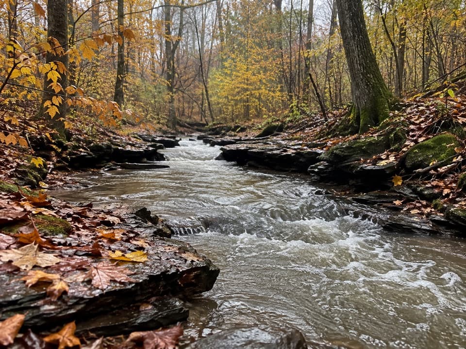 ModerateWetmore Trail4.6 mi · 2.5 hr · 1.2 mi awayA hilly woods loop with creeks and old farm paths
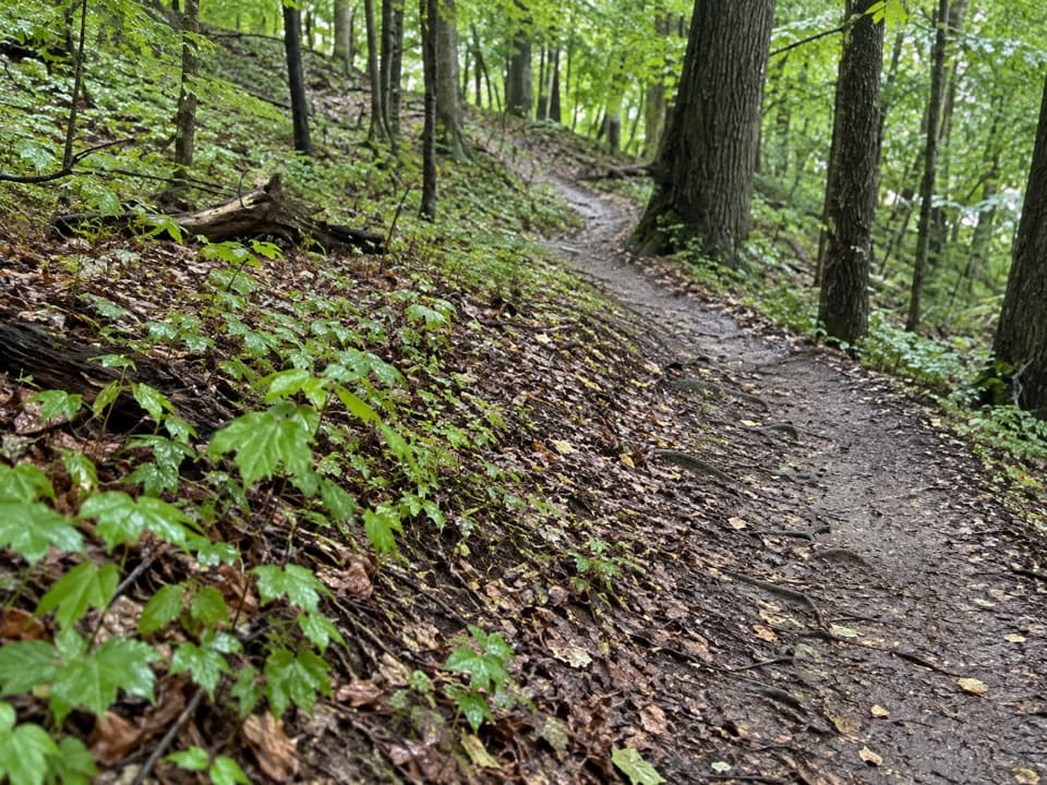 ModerateLanges Run Trail3.3 mi · 2.5 hr · 1.2 mi awayA hilly woodland trail shared with horses, creeks and wildflowers
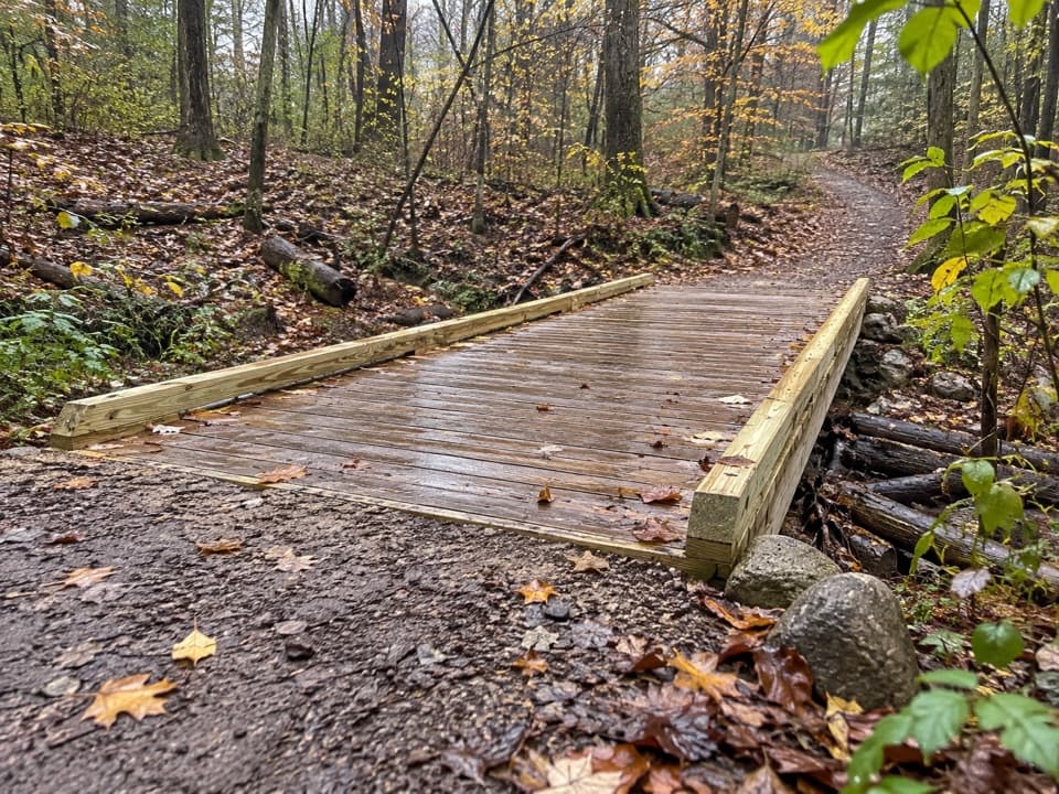 EasyTabletop Trail0.7 mi · 30 min · 1.2 mi awayA short dirt segment through the Wetmore trail network.
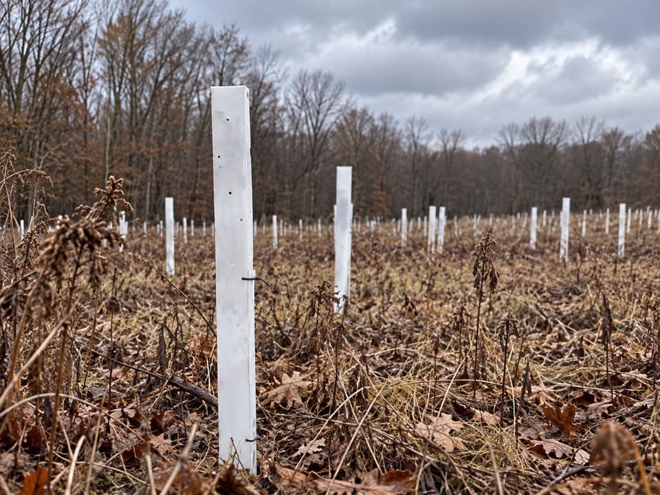 EasyButlers Trail0.7 mi · 18 min · 1.2 mi awayA short rolling dirt path into the Wetmore trail network.
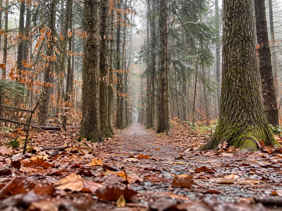 ModeratePlateau Trail4.6 mi · 2.5 hr · 1.4 mi awayA long woodland loop past three ponds and a pine corridor
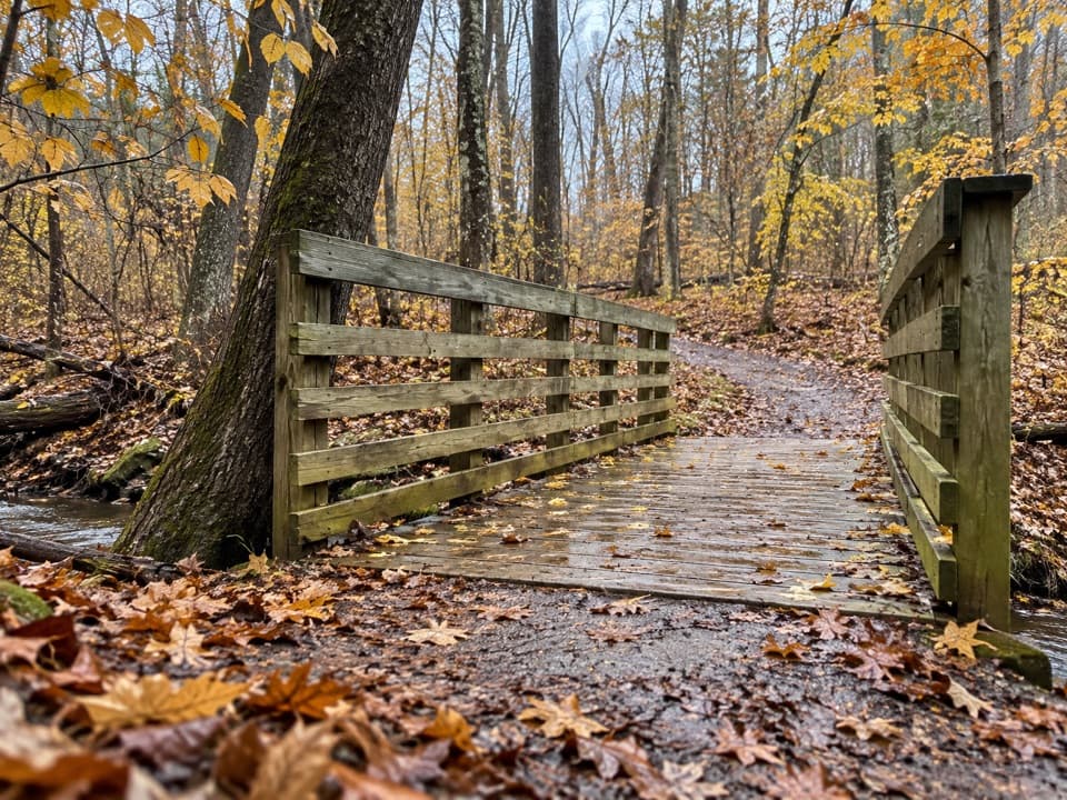 EasyOak Hill Trail1.4 mi · 45 min · 1.4 mi awayA gentle loop past Sylvan Pond and old farm traces.
 Store · 0.3 mi awayKeleman Point FarmA year-round stand for the farm’s rotating local goods.
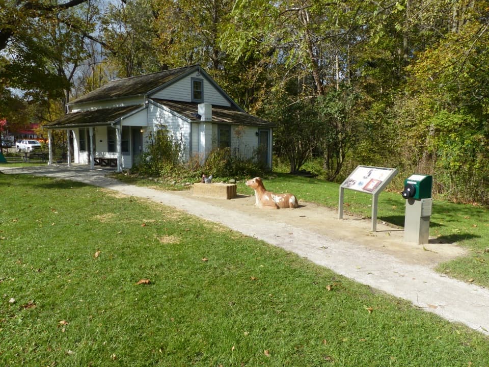 Visitor center · 0.5 mi awayHunt House and Outdoor ExhibitsA small historic house with hands-on stories of life in Everett.
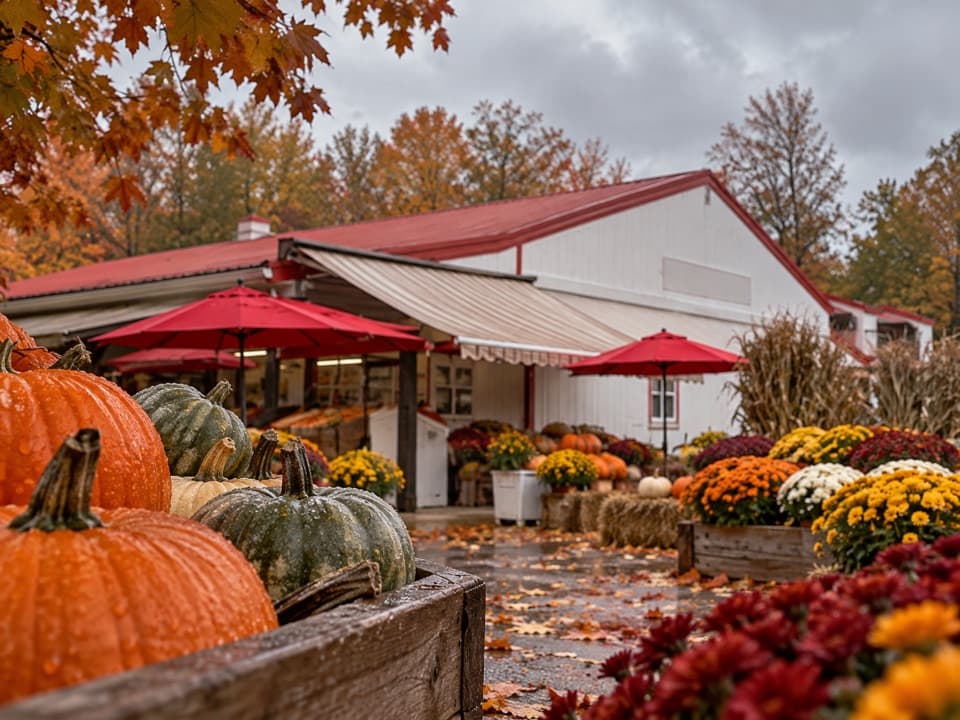 Store · 0.5 mi awaySzalay’s Farm & MarketA farm-market stop for sweet corn and fall fun.
 Sight · 0.8 mi awayBlossom Music CenterCleveland Orchestra’s summer home: covered Pavilion, open Lawn.
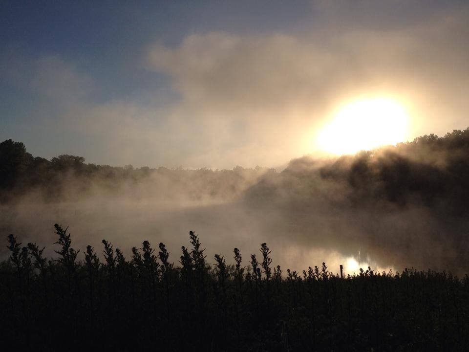 Sight · 1 mi awayIndigo LakeA former mine turned low-key lakeside picnic stop
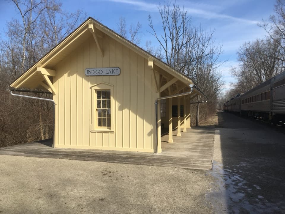 Sight · 1 mi awayIndigo Lake StationA train stop for an easy lake loop and Towpath connection.
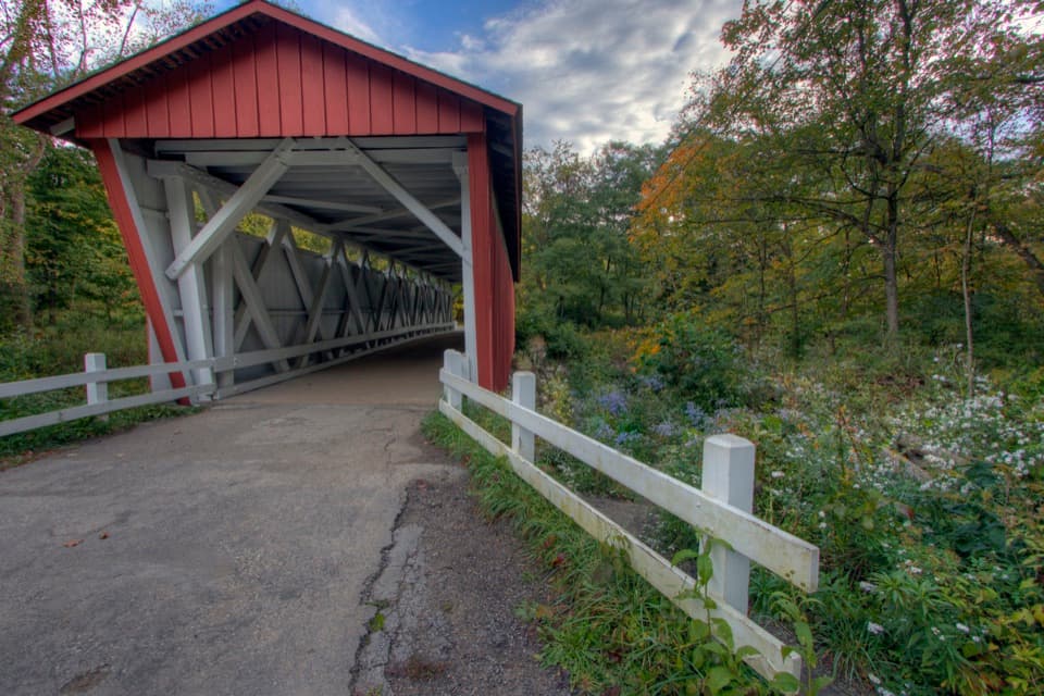 Sight · 1.1 mi awayEverett Covered BridgeSummit County's last covered bridge, rebuilt after a devastating flood.
 Sight · 1.3 mi awayBeaver MarshA short boardwalk crosses a wetland shaped by returning beavers.
Parkwolf’s Cuyahoga Valley ranking

The audio tour guide for the drive, plus offline maps, trails, and wildlife heatmaps for when the signal drops.