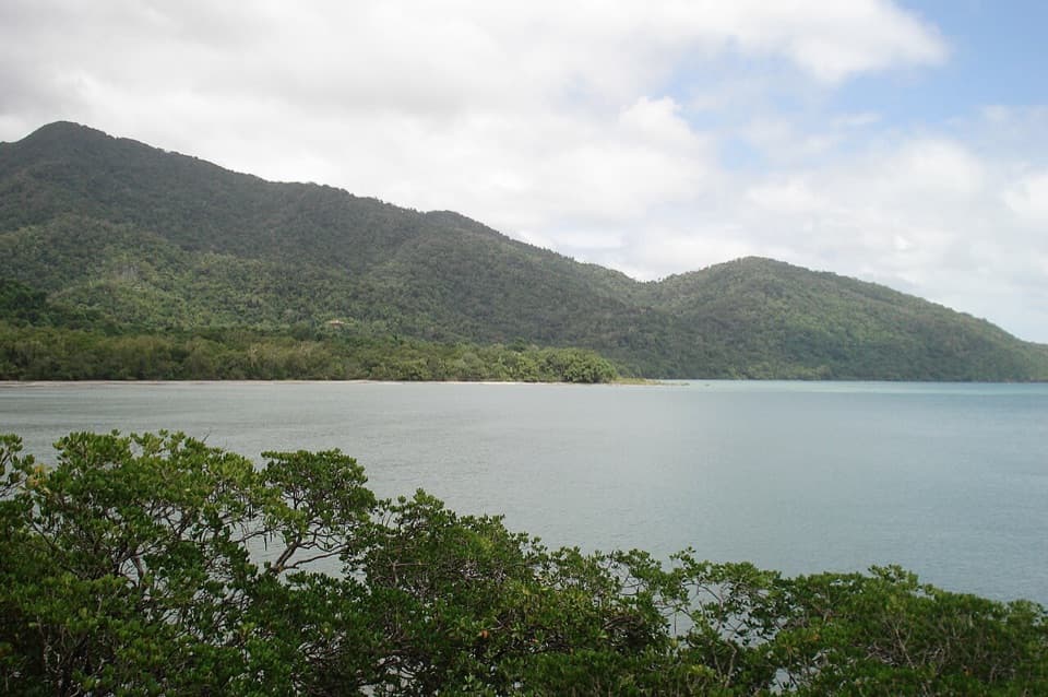
Parking
No confirmed public trailhead or parking. Contact QPWS for the current authorized approach; do not use the older mapped start without confirmation.

Daintree National Park, QLD
Remote 21.4km peak climb; verify access before using this route.
Overview
Map & elevation
Plan your hike

The highest, rockiest slopes around here are a summer buffet for grizzly bears.
Daintree Tour Guide
Parkwolf is a GPS audio tour guide for Daintree National Park. As you drive, it chimes in with what’s ahead: hidden gems, upcoming stops, history, geology, and wildlife, right through your car’s speakers.
See the Daintree audio tourMore stories near here in the app
“Fantastic app with many points of information… It’s great to just turn on while you’re driving and it gives you an audio tour of the national Park. We love it!!!!”


Trail guide
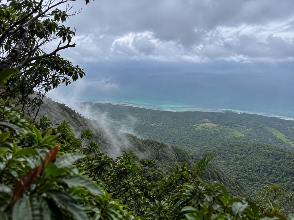
Thornton Peak Walking Track is a remote out-and-back route in Daintree National Park, with 21.4 km for the return trip. The older mapped line runs 10.7 km to a high ridge above the lowland rainforest and back. Its profile rises from about 29 m to 1,310 m, though mapped climb totals differ, so don't plan around a precise ascent figure. The older map estimate is about seven hours moving before breaks; leave a full day. I'd attempt this only with remote-walk experience and a current, authorized route.
The stored line follows the older Thornton Peak approach past points labelled Base Camp and High / Summit Camp to its marked endpoint. Those names do not establish that camping is permitted. There is also a summit-location disagreement: the endpoint is labelled Thornton Peak, but a separately marked 1,374 m high point lies about 1 km east, and no connecting track was verified. Treat the saved line as the older mapped approach to the high ridge, not proof that it reaches the highest point. A newer Flat Peak Pass approach is reported at about 14 km one way, but its route and access could not be confirmed, so it is not mixed into this line.
A current public trailhead, parking arrangement, and access or permit rules have not been confirmed. Get the current authorized approach from QPWS before you travel, and don't navigate to the older mapped start without that confirmation. No route-specific toilets, water, or camping permission were verified. Domestic pets are prohibited in Queensland national parks, apart from certified support dogs and assistance animals.
Wildlife
 688 sightingsSouthern CassowaryMost seen around 5 PMSighting map
 1,788 sightingsSaltwater CrocodileMost seen around 4 PMSighting map
 242 sightingsSpectacled Flying-foxMost seen around 6 PMSighting map
 332 sightingsBoyd's Forest DragonMost seen around 10 AMSighting map
 46 sightingsVictoria's RiflebirdMost seen around 7 AMSighting map
 188 sightingsLace MonitorMost seen around 10 AMSighting map
Sighting maps show where each species has been reported across Daintree. Wildlife moves, so no sighting is guaranteed.
Keep exploring
 EasyDaintree Discovery Centre Walk0.9 km · 1 hr · 7 km awayA ticketed canopy walk through cassowary country and rainforest stories.
 ModerateJindalba Circuit Track3 km · 1.5 hr · 7.4 km awayLeave the easy boardwalk for a rougher rainforest circuit
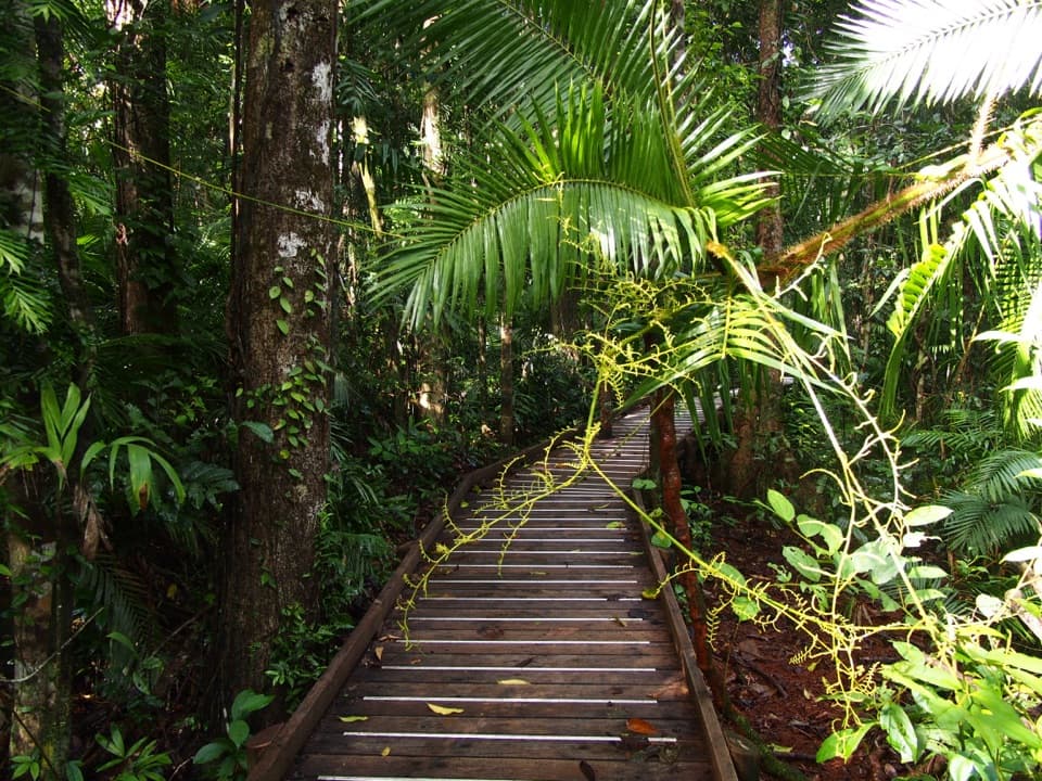 EasyJindalba Boardwalk Loop0.7 km · 45 min · 7.5 km awayA short rainforest loop for creek views and ancient king ferns.
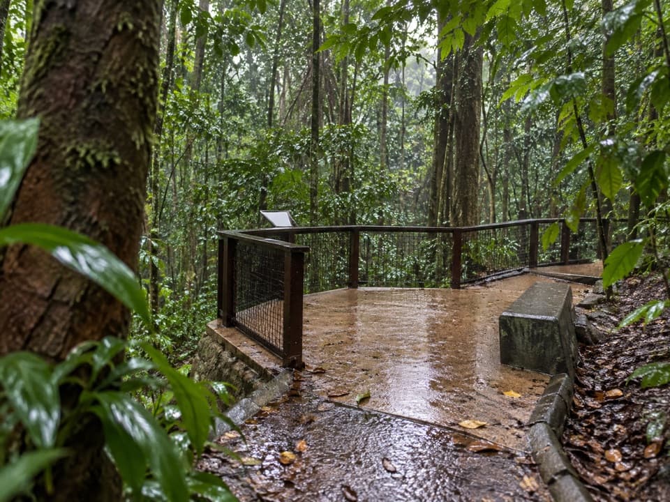 EasyJindalba Rainforest Walk0.1 km · 10 min · 7.5 km awayA short, accessible rainforest path leads to a clear creek lookout.
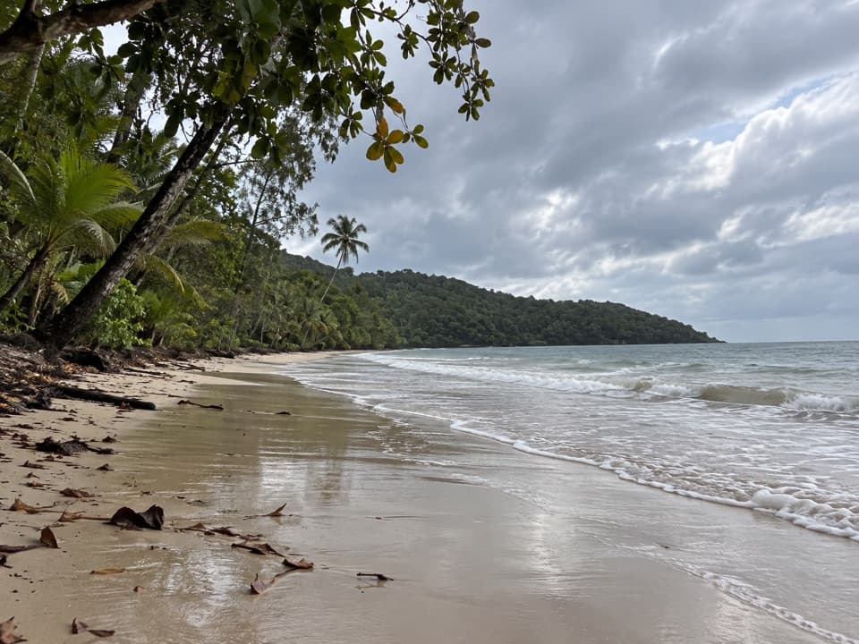 EasyCape Kimberley Walk5 km · 1.5 hr · 12.6 km awayA 5 km beach walk to the Daintree River mouth.
 EasyMadja Boardwalk1.2 km · 45 min · 13.9 km awayRainforest boardwalk, mangrove creek, and an easy loop
 ChallengingManjal Jimalji (Devils Thumb) Trail12 km · 10 hr · 17.3 km awayA hard rainforest climb to coral fern and a boulder lookout.
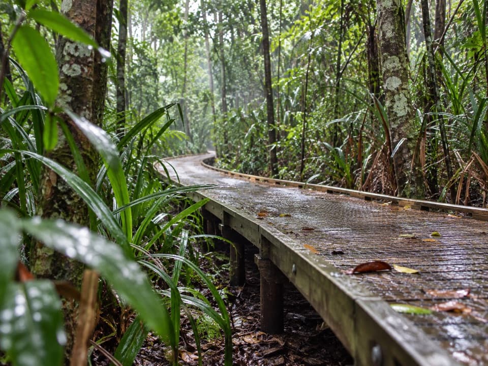 EasyDubuji Boardwalk1.5 km · 45 min · 19.7 km awayAn easy loop through palms, creeks and salty mangroves.
 Sight · 2.4 km awayBruce Belcher’s Daintree River CruisesA guide’s eye makes crocodiles and other wildlife easier to spot.
 Sight · 4.2 km awaySolar Whisper Daintree River CruisesQuiet solar power and a sharp guide help find camouflaged wildlife.
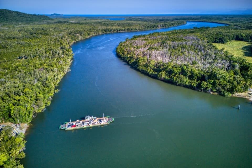 Sight · 4.5 km awayDaintree River FerryA five-minute cable ferry opens the road to Cape Tribulation.
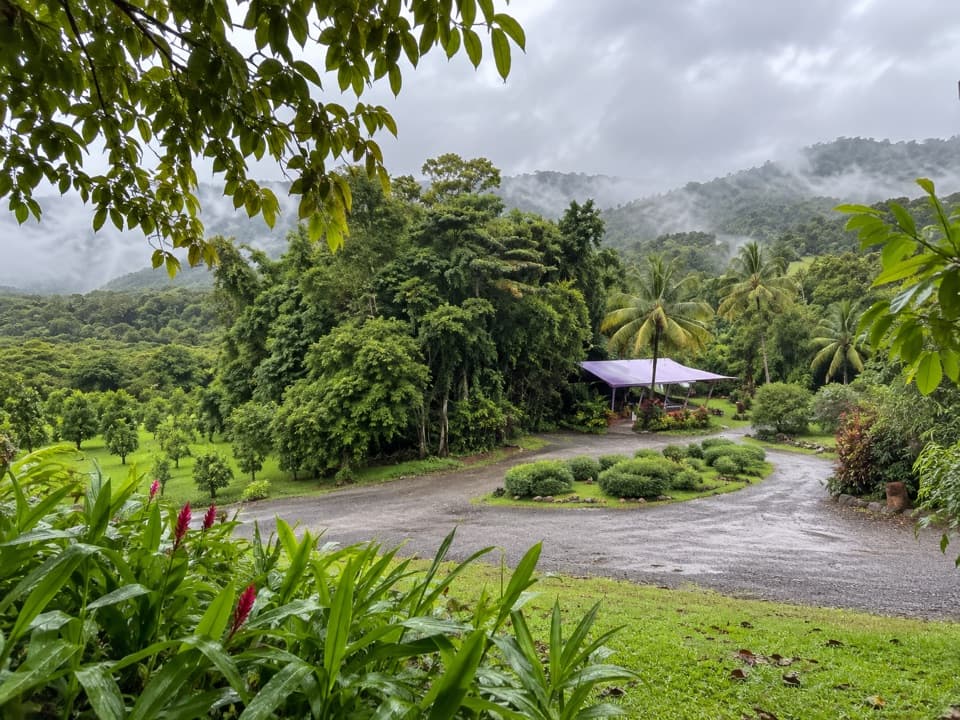 Food · 5.2 km awayDaintree Ice Cream CompanyFour changing fruit flavours, then a free orchard walk.
 Campground · 6.4 km awayDaintree SiestaRainforest camping, guest-only walks and barramundi on site
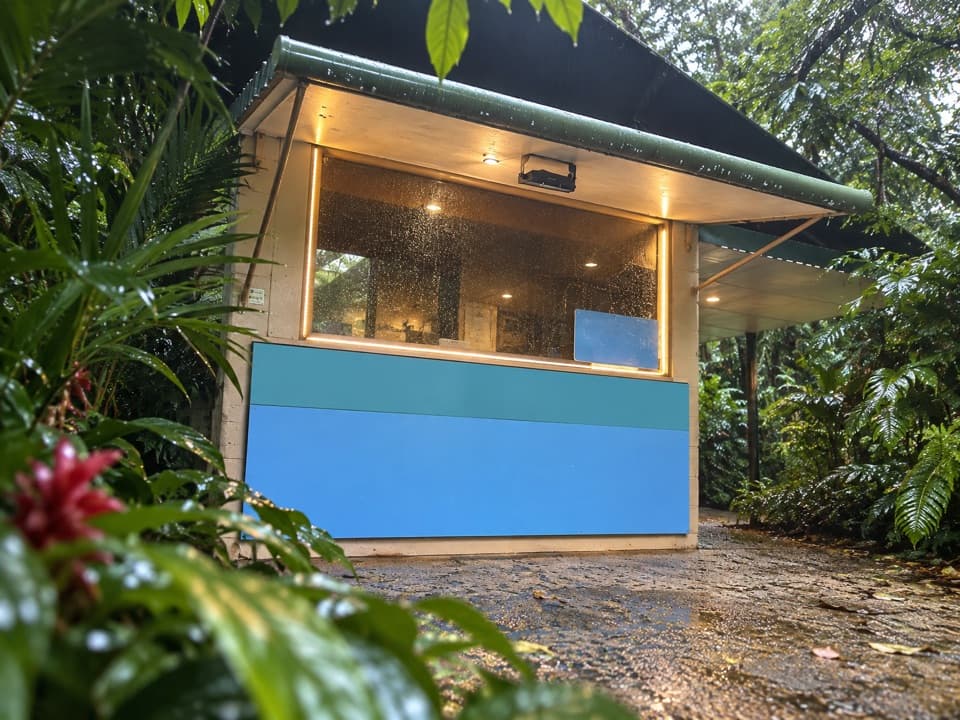 Food · 6.5 km awayFloravilla Ice CreamerySeasonal tropical-fruit ice cream in a shady Daintree garden.
 Store · 6.7 km awayDaintree Tea Farmgate StallA quick roadside stop for Daintree-grown tea and honey.
 Sight · 7 km awayDaintree Discovery CentreFive tower platforms lift you into different rainforest layers.
Parkwolf’s Daintree ranking

The audio tour guide for the drive, plus offline maps, trails, and wildlife heatmaps for when the signal drops.