Parking
Use the small dirt turnout on the right side of Emigrant Canyon Road, about 7.1 road miles south of CA-190 and roughly half a mile beyond Journigan’s Mill water tanks. It holds only three to four vehicles.
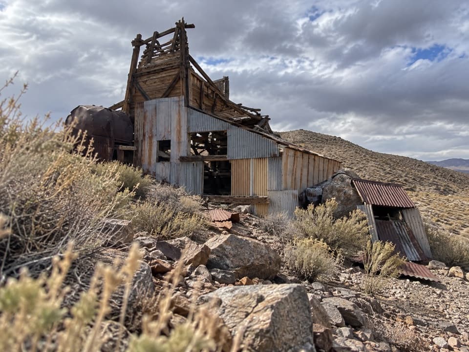
Death Valley National Park, CA · NV
Old road to a desert mill; ridge views close the loop.
Overview
Map & elevation
Plan your hike

The highest, rockiest slopes around here are a summer buffet for grizzly bears.
Death Valley Tour Guide
Parkwolf is a GPS audio tour guide for Death Valley National Park. As you drive, it chimes in with what’s ahead: hidden gems, upcoming stops, history, geology, and wildlife, right through your car’s speakers.
See the Death Valley audio tourRecorded for this trailhead
Greene-Denner-Drake Mill: The Canyon Walk“You're coming up on the trailhead for Greene-Denner-Drake Mill, a walk to a timber-and-metal mill in a remote desert canyon.”
Plays as you drive up to this trailhead in the Parkwolf Death Valley Tour Guide.
More stories near here in the app
“Fantastic app with many points of information… It’s great to just turn on while you’re driving and it gives you an audio tour of the national Park. We love it!!!!”


Trail guide
This 2.59-mile loop leaves Emigrant Canyon Road, follows an old mine road through a broad desert canyon to the Greene-Denner-Drake mill, then climbs a ridge and returns by a separate line. The ridge reaches about 5,338 feet, roughly 830 feet above the turnout. Allow two to three hours, including time at the mill. If you want a shorter outing, turn around at the mill for about a 1.8-mile out-and-back; you will miss the ridge views and loop return.
The approach follows a rough dirt track through low shrubs and grasses. The mill sits on a rise about a mile from the pullout. From there, the route climbs roughly a quarter mile to the ridge, then follows the ridge line back toward the start. The ridge gives a view down to the mill and across the surrounding desert. Turn back toward the site for a photo that shows it in the canyon. This is a remote wilderness walk with little shade, not a developed interpretive path.
From CA-190, follow Emigrant Canyon Road south for about 7.1 miles to a small dirt pullout on the right, roughly half a mile beyond the water tanks at Journigan's Mill. It fits only three or four vehicles. The walk begins near dirt piles and wilderness-boundary signs that block vehicles from the old road. Bring the water and food you need; no services are described at the turnout. Pets are limited to developed areas and cannot accompany this off-road wilderness hike.
The low rise holds the old mill building, a small house, outbuildings, water tanks and vehicle remains. The site dates to the early 1950s and appears to have been abandoned around 1970; its exact mining purpose is less certain. The mill's timber frame and corrugated-metal walls make the site easy to recognize from the ridge. The structures are unstable, so look from outside and leave every object where it is.
Wildlife
 72 sightingsBighorn SheepMost seen around 6 PMSighting map
 101 sightingsDesert TortoiseMost seen around 8 AMSighting map
 466 sightingsCoyoteMost seen around 6 PMSighting map
 29 sightingsFeral BurroMost seen around 5 PMSighting map
 30 sightingsMule DeerMost seen around 7 PMSighting map
 65 sightingsKit FoxMost seen around 7 PMSighting map
Sighting maps show where each species has been reported across Death Valley. Wildlife moves, so no sighting is guaranteed.
Keep exploring
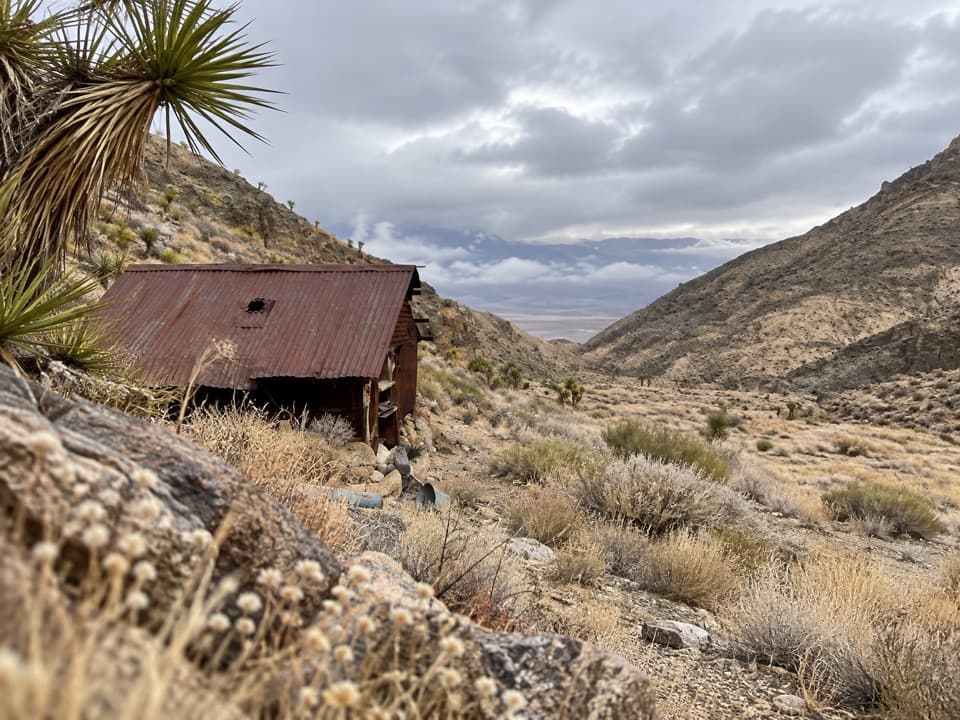 ModerateLemoigne Canyon to Lemoigne Cabin6.5 mi · 5 hr · 8.5 mi awayA remote wash hike to a tiny cabin built around 1890.
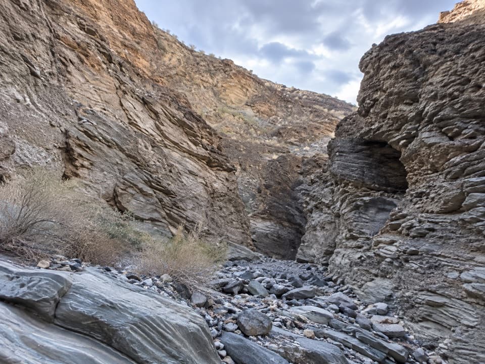 ModerateLower Stretched Pebble Canyon2.7 mi · 3 hr · 11.3 mi awayA rough desert approach to canyon walls of flattened rock.
 ModerateMosaic Canyon4 mi · 2.8 hr · 11.3 mi awayPolished marble narrows lead to a dryfall amphitheater.
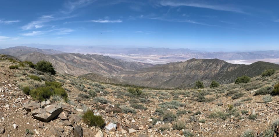 ChallengingWildrose Peak Trail7.9 mi · 6 hr · 12.6 mi awayFrom 1877 charcoal kilns to high summit views over two valleys.
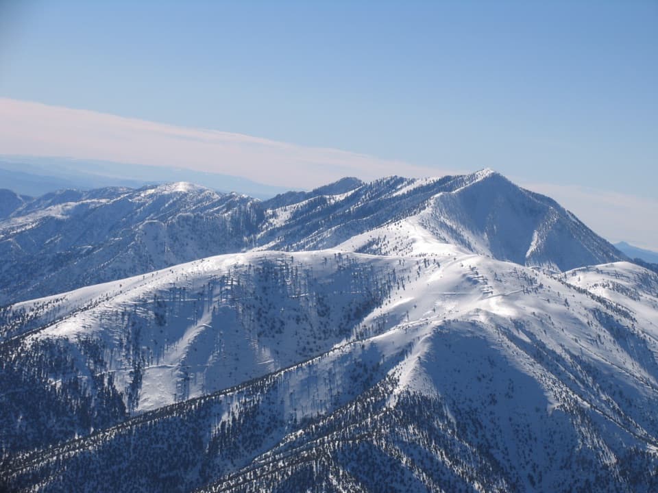 ChallengingRogers Peak via Arcane Meadows5.1 mi · 4.5 hr · 13.8 mi awayA rocky ridge ends at summit towers and views in every direction.
 ChallengingTelescope Peak Trail12.2 mi · 7 hr · 13.8 mi awayClimb above both valleys to Death Valley’s 11,049-foot summit.
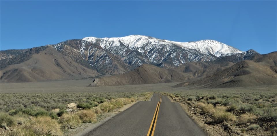 ChallengingBennett Peak5.7 mi · 5 hr · 13.8 mi awayA high, unmarked summit above Arcane Meadows
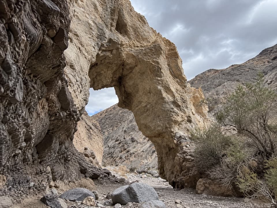 ChallengingLittle Bridge Canyon7 mi · 5 hr · 13.9 mi awayA pale natural bridge in a rugged, unmarked Death Valley canyon.
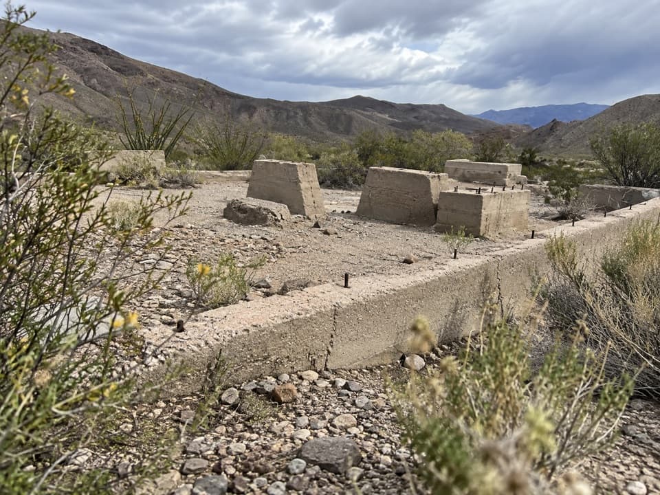 Sight · 0.4 mi awayJournigan’s MillA quick roadside look at a 1930s gold mill’s remains.
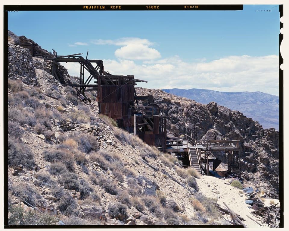 Sight · 2.2 mi awaySkidoo MillA surviving stamp mill waits beyond Skidoo's empty townsite.
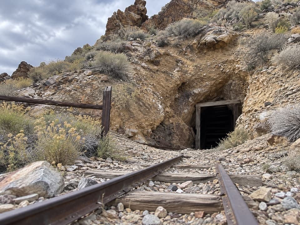 Sight · 5 mi awayHarrisburg and Eureka MineA two-room cabin tells Pete Aguereberry’s gold-mining story.
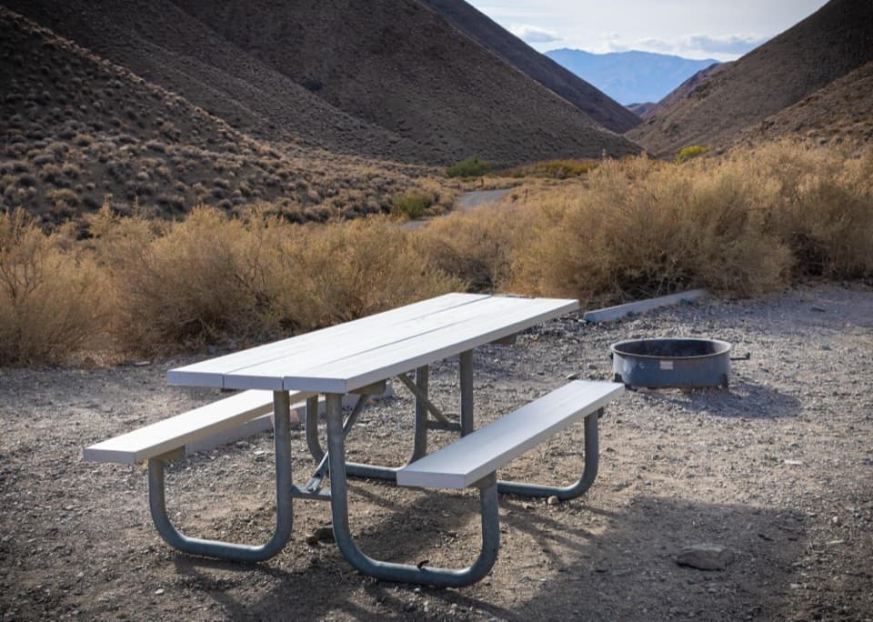
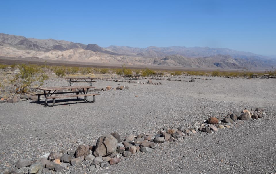 Campground · 6.7 mi awayEmigrant CampgroundTen tent sites, wide skies, and rocky ground that fights weak stakes.
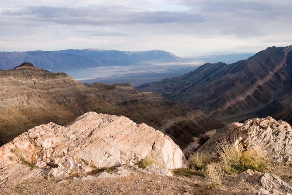 Sight · 7.9 mi awayAguereberry PointA long, rough drive opens a west-side panorama of Death Valley.
 Campground · 10 mi awayWildrose CampgroundA no-frills, dark-sky base camp in the Panamint Mountains.
Parkwolf’s Death Valley ranking

The audio tour guide for the drive, plus offline maps, trails, and wildlife heatmaps for when the signal drops.


