Little Bridge Canyon in Death Valley National Park

Death Valley National Park, CA · NV

Little Bridge Canyon

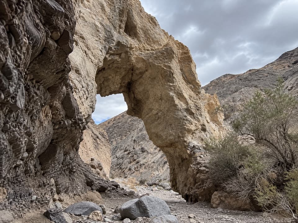
A pale natural bridge in a rugged, unmarked Death Valley canyon.

Length
7mi
Time
5hr
Elev. change
1,969ft
Difficulty
Challenging
  • Loop
  • High point 1,949 ft

Hear the audio tour

Little Bridge Canyon: A Backcountry Arch

Overview

About Little Bridge Canyon

Why go

  • A natural stone arch and vivid mineral veins make a memorable canyon finish.
  • The direct outbound and easier wash return add variety to the round trip.

Heads up

  • No marked trail or signs; navigation is part of the difficulty.

Map & elevation

The route

Loading the Death Valley map
Full map
Elevation-20–1,949 ft
TrailheadCA-190 eastbound mile marker 89 shoulder36.60115, -117.09758
Keep this map with you offline in the Parkwolf app

Plan your hike

Before you go

Parking

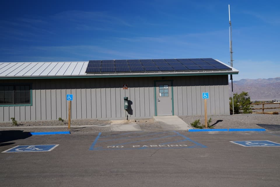
Use the eastbound CA-190 shoulder at mile marker 89; there is no formal lot or trail sign. Several vehicles can fit, but the shoulder is a poor fit for large RVs. Traffic is fast. The nearest vault toilets are at Mesquite Flat Dunes parking, about one mile east.

Safety

This is trail-less cross-country terrain. Bring a map and compass; the GPS track is supplemental. On the direct approach, cross the high-walled drainage and climb the opposite gully—the tempting drainage uphill ends at large falls. Take care at the highway shoulder and carry water for the full five-hour hike.

4 active Death Valley alerts

  • ClosureRoad closures and hazardous conditionsSeveral park roads are closed or hazardous; follow closures and vehicle restrictions.Official details
  • ClosureSaline Valley Lower Springs closed after wildfireLower Springs pools at Saline Valley Warm Springs remain closed because the September 15 wildfire left safety hazards, including potential hazardous chemicals; do not enter the closed area.Official details
See all 4 alerts
A park ranger sits on a dash-mounted phone, talking, as Parkwolf’s Tour Guide plays “Army Cutworm Moths: A Grizzly Bear Buffet” on Grand Loop Road below Dunraven Pass in Yellowstone
Parkwolf Tour GuideThe highest, rockiest slopes around here are a summer buffet for grizzly bears.

Death Valley Tour Guide

Your drive to Little Bridge Canyon, narrated.

Parkwolf is a GPS audio tour guide for Death Valley National Park. As you drive, it chimes in with what’s ahead: hidden gems, upcoming stops, history, geology, and wildlife, right through your car’s speakers.

See the Death Valley audio tour

Recorded for this trailhead

Little Bridge Canyon: A Backcountry Arch
0:00 / 0:30
“You're approaching the highway-shoulder start for Little Bridge Canyon, a difficult five-hour hike to a natural stone arch.”

Plays as you drive up to this trailhead in the Parkwolf Death Valley Tour Guide.

More stories near here in the app

  • Mesquite Flat Sand Dunes: Choose Your Walk
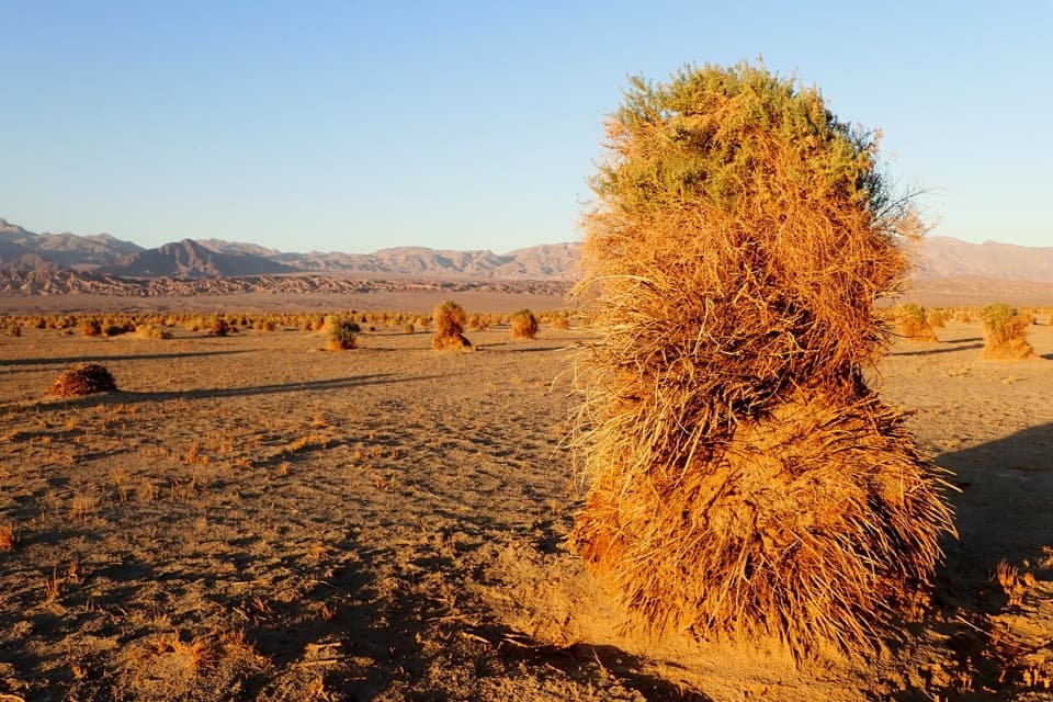
  • Devil's Cornfield: Arrowweed Mounds
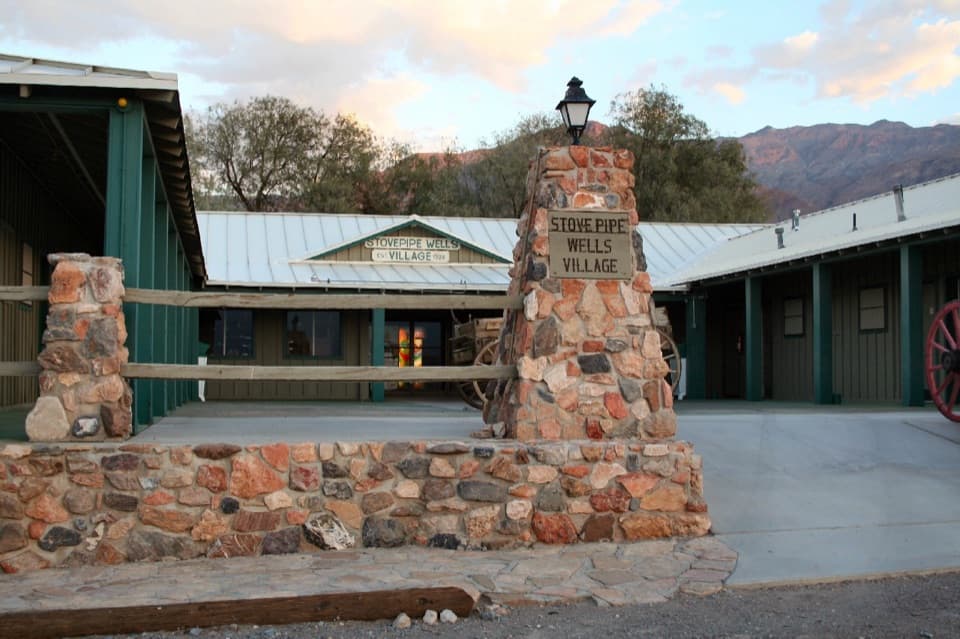
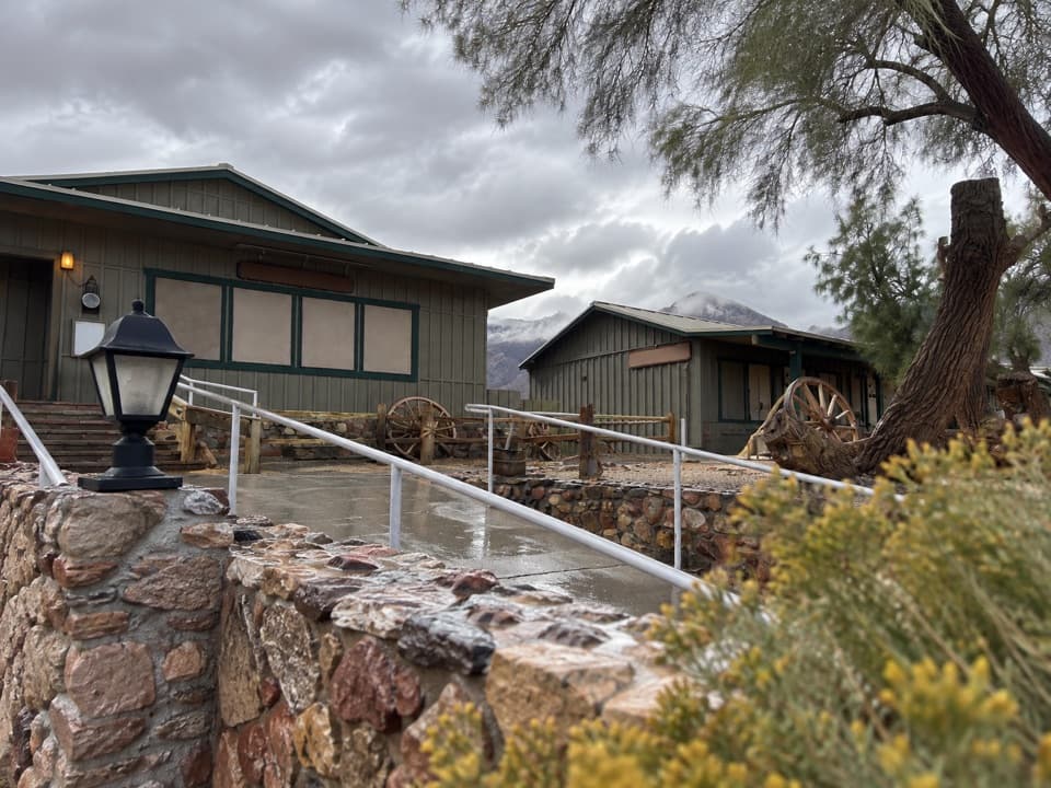
  • Stovepipe Wells: A Meal and Fuel Stop
  • The Cloud That Holds Its Place
  • 228 audio storiesacross Death Valley’s roads, triggered by GPS as you drive
  • Wildlife heatmapsfor Bighorn Sheep, Desert Tortoise, Coyote, and 13 more
  • Works offlinemaps, 57 trails, 81 places, and audio download before you lose signal
  • CarPlay readysimple controls built for the drive
★★★★★
“Fantastic app with many points of information… It’s great to just turn on while you’re driving and it gives you an audio tour of the national Park. We love it!!!!”
JMJamesApp Store review
Download Parkwolf on the App StoreGet Parkwolf on Google Play

4.7 from 8,600+ ratings

Trail guide

Hiking Little Bridge Canyon

What you’re signing up forLittle Bridge Canyon is a 7-mile round trip from the eastbound CA-190 shoulder at mile marker…

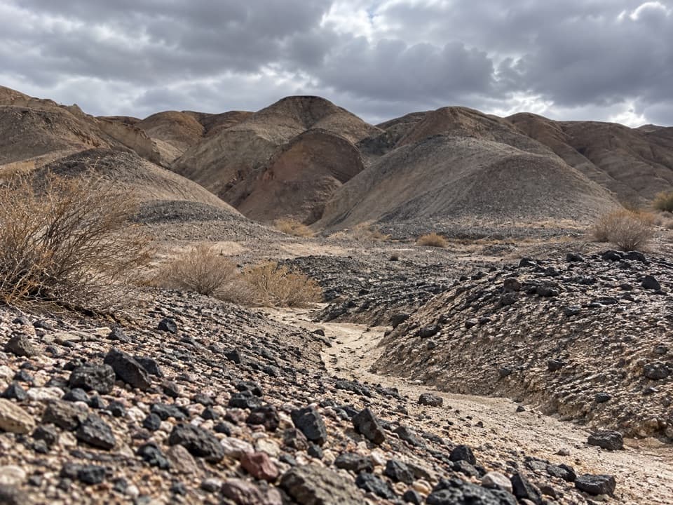
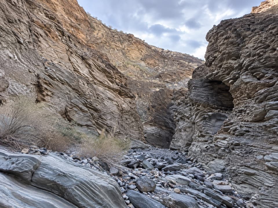
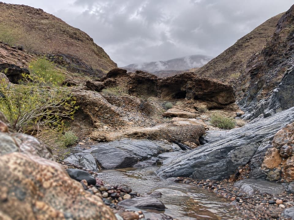
Little Bridge Canyon is a 7-mile round trip from the eastbound CA-190 shoulder at mile marker 89. Allow about five hours for the difficult cross-country walk, which climbs about 1,900 feet through open washes and rocky slopes to a natural bridge in a narrow canyon. There is no trail or signage, so finding the right drainage is a major part of the hike. Go if you’re comfortable navigating desert terrain; this is not a marked canyon stroll.

Take the direct way outThe more scenic direct approach is harder to follow.

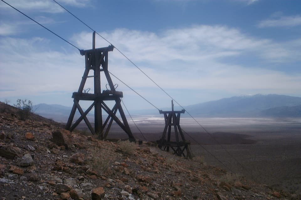
The more scenic direct approach is harder to follow. Head on a true bearing of 137° toward the utility poles, reached after roughly half a mile, then continue on 163° for about another half mile. At the high-walled drainage, cross it and climb the opposite gully; the tempting canyon uphill ends at large falls. Keep across the smaller washes to the reddish canyon mouth. On the return, retrace the canyon to that junction and use the easier wash route back to the highway. Carry a map and compass, and treat the GPS line as backup.

The bridge and the rockThe namesake is a natural stone arch spanning the wash, and it is the usual turnaround even…

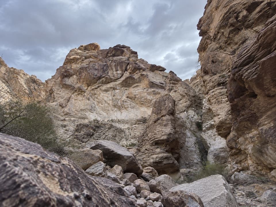
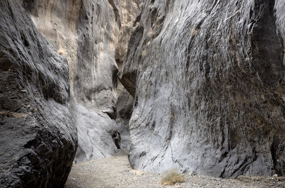
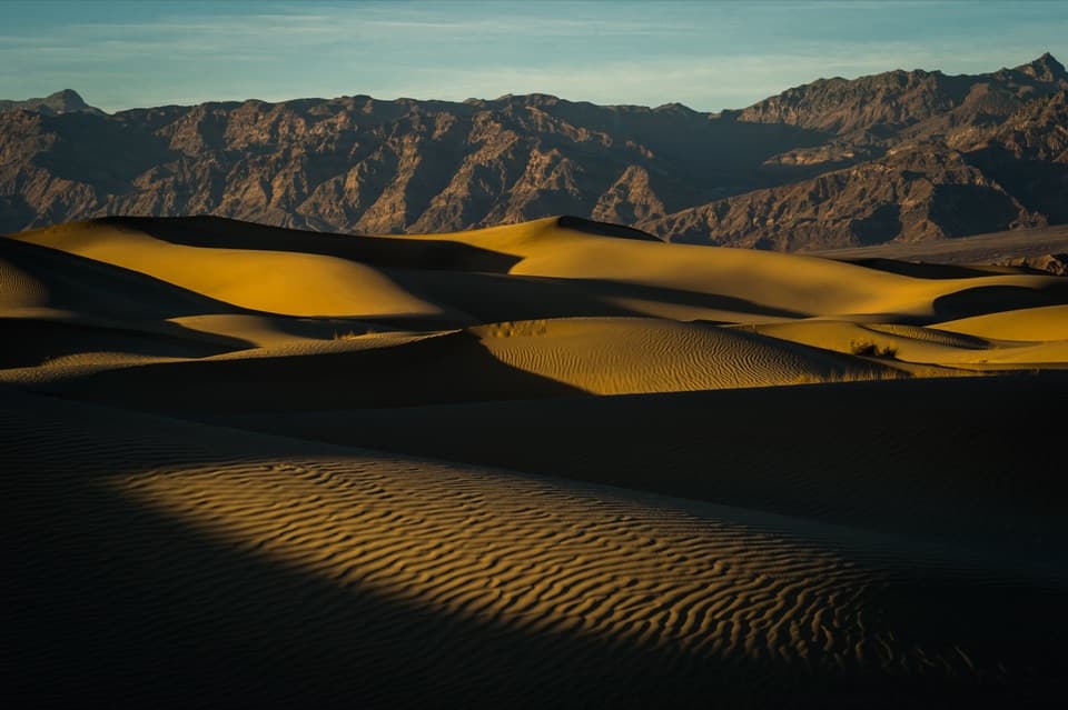
The namesake is a natural stone arch spanning the wash, and it is the usual turnaround even though the canyon continues beyond it. White Eureka Quartzite is streaked with mineral veins in yellows and reds, mostly iron oxide. Coming back down-canyon, look out toward the sand dunes. For a photo, include the wash floor and darker canyon wall so the arch reads as a span rather than a close-up of pale rock.

Getting to the startThere is no formal lot or trail sign: use the eastbound shoulder at CA-190 mile marker 89.

There is no formal lot or trail sign: use the eastbound shoulder at CA-190 mile marker 89. Traffic moves quickly, so take care when leaving and returning to the car. Several vehicles can fit, but the shoulder is a poor fit for large RVs. The nearest vault toilets are at Mesquite Flat Dunes parking, about a mile east. Bring enough water for the full five-hour outing.

Wildlife

Wildlife in Death Valley

All Death Valley wildlife maps

Sighting maps show where each species has been reported across Death Valley. Wildlife moves, so no sighting is guaranteed.

Keep exploring

Near Little Bridge Canyon

See it all on the map

Trails that start nearby

Places near the trailhead

Parkwolf’s Death Valley ranking

Top-rated trails in Death Valley

All 57 trails
  1. 1Badwater Salt FlatEasy · 1.9 mi
  2. 2Mosaic CanyonModerate · 4 mi
  3. 3Golden Canyon to Red CathedralModerate · 3 mi
  4. 4Telescope Peak TrailChallenging · 12.2 mi
  5. 5Golden Canyon Complete CircuitChallenging · 7.8 mi
  6. 6Gower Gulch LoopModerate · 4.3 mi

Take Parkwolf to Death Valley.

The audio tour guide for the drive, plus offline maps, trails, and wildlife heatmaps for when the signal drops.

4.7 from 8,600+ ratings

Download Parkwolf on the App StoreGet Parkwolf on Google Play