Parking
From Stovepipe Wells General Store, continue 3.3 miles west on CA-190 to the roadside Stretched Pebble Canyon trailhead. The route heads southeast toward the gray pyramid-shaped hill at the base of Tucki Mountain.
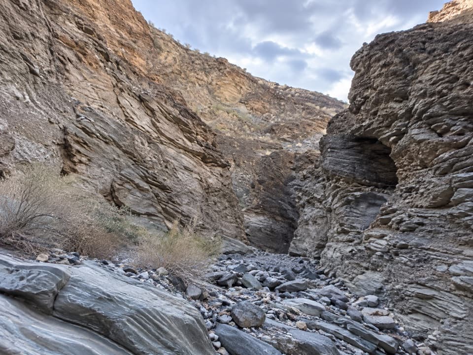
Death Valley National Park, CA · NV
A rough desert approach to canyon walls of flattened rock.
Overview
Map & elevation
Plan your hike

The highest, rockiest slopes around here are a summer buffet for grizzly bears.
Death Valley Tour Guide
Parkwolf is a GPS audio tour guide for Death Valley National Park. As you drive, it chimes in with what’s ahead: hidden gems, upcoming stops, history, geology, and wildlife, right through your car’s speakers.
See the Death Valley audio tourRecorded for this trailhead
Lower Stretched Pebble Canyon: Flattened Stones“Lower Stretched Pebble Canyon's roadside start is ahead, for a hike to walls containing stones flattened by heat and pressure.”
Plays as you drive up to this trailhead in the Parkwolf Death Valley Tour Guide.
More stories near here in the app
“Fantastic app with many points of information… It’s great to just turn on while you’re driving and it gives you an audio tour of the national Park. We love it!!!!”


Trail guide
Lower Stretched Pebble Canyon is a 2.66-mile out-and-back from a roadside start on CA-190, across an open desert fan and into a narrow wash. This version turns at the first major chockstone. The short distance hides around 600 feet of climbing, loose route-finding ground and a few scrambles over easier pour-overs; allow about three hours, longer if finding the right drainage takes time. Pick it for the close-up geology and tight canyon walls, not for a marked trail or an easy stroll.
From the road, head southeast toward the oddly gray, pyramid-shaped hill at the base of Tucki Mountain. The washes trend south and can pull you off course; aim for the hill, then enter the wash with the high south wall. The approach is cross-country, with no continuous marked tread to follow, so use the mapped line and the landform together.
The canyon narrows at its mouth and stays tight. Easier pour-overs lead to a large chockstone above a drop; that is the turnaround for this lower-canyon route. Some descriptions continue to a second obstruction farther in and report about 2.9 miles round trip. Turning at the first major obstruction keeps this route at 2.66 miles. Beyond it, the upper canyon becomes technical climbing on poor, crumbly rock.
The canyon walls expose sedimentary and metamorphic rock, including rounded stones flattened by heat and pressure. Those pancake-like clasts are the namesake feature, and the water-polished walls make them easy to inspect up close. The proposed geological sequence behind them is uncertain, so the visible deformation is the safest story to tell.
The open approach is sparsely vegetated and exposed. No water source is confirmed along the route, and the narrow canyon is vulnerable to flash floods; stay out if rain threatens. Pets are not permitted on this route into the wilderness area; park rules limit them to developed areas.
Wildlife
 72 sightingsBighorn SheepMost seen around 6 PMSighting map
 101 sightingsDesert TortoiseMost seen around 8 AMSighting map
 466 sightingsCoyoteMost seen around 6 PMSighting map
 29 sightingsFeral BurroMost seen around 5 PMSighting map
 30 sightingsMule DeerMost seen around 7 PMSighting map
 65 sightingsKit FoxMost seen around 7 PMSighting map
Sighting maps show where each species has been reported across Death Valley. Wildlife moves, so no sighting is guaranteed.
Keep exploring
 ModerateMosaic Canyon4 mi · 2.8 hr · 2.5 mi awayPolished marble narrows lead to a dryfall amphitheater.
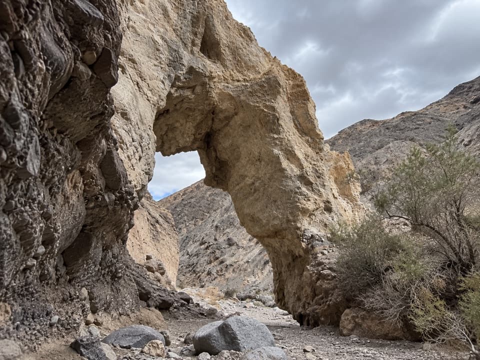 ChallengingLittle Bridge Canyon7 mi · 5 hr · 5.5 mi awayA pale natural bridge in a rugged, unmarked Death Valley canyon.
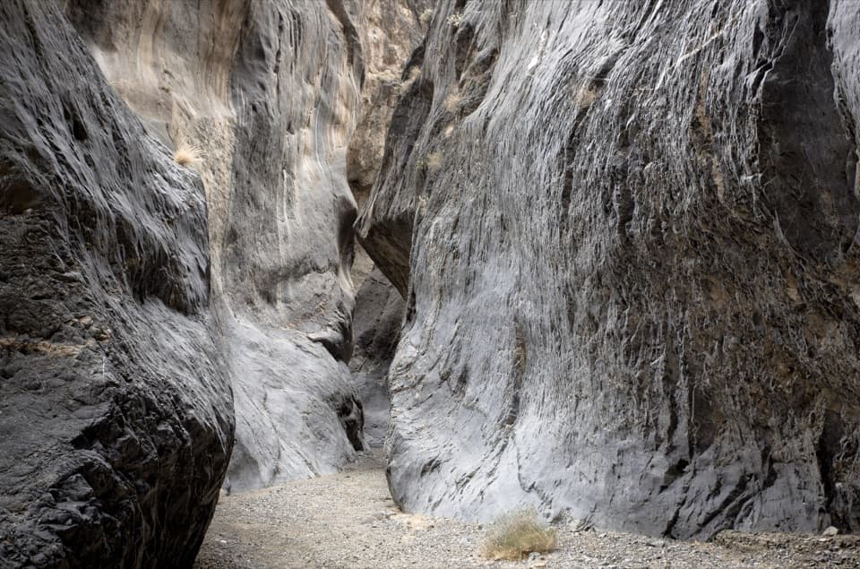 ChallengingCottonwood Marble Loop26.3 mi · 1 day · 7.2 mi awayA hard, 26-mile wilderness loop through three remote desert canyons.
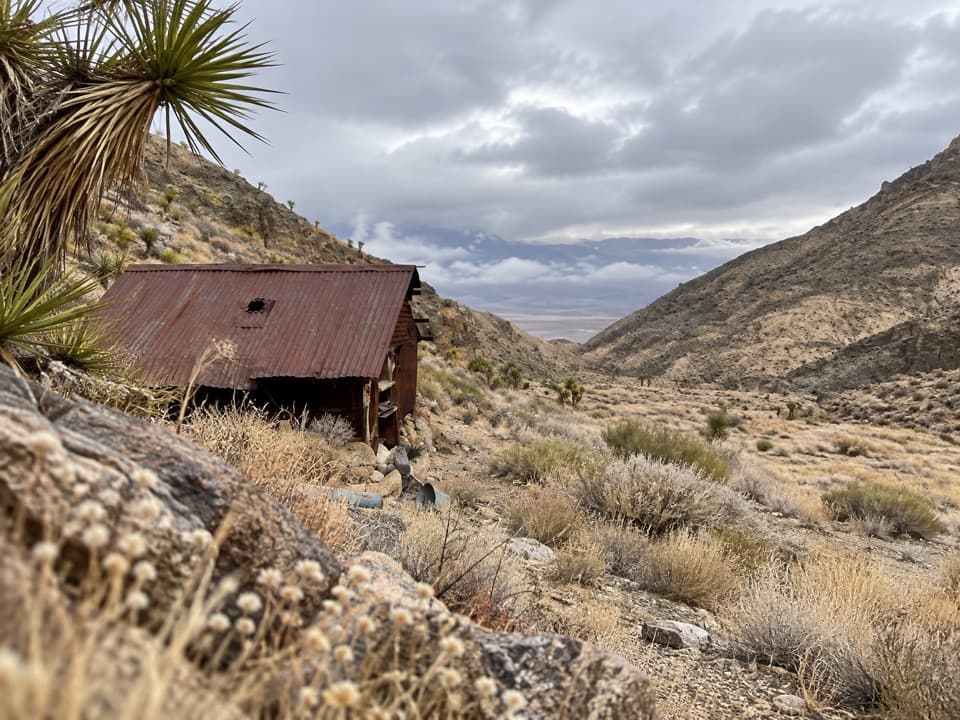 ModerateLemoigne Canyon to Lemoigne Cabin6.5 mi · 5 hr · 7.6 mi awayA remote wash hike to a tiny cabin built around 1890.ModerateLower Marble Canyon8.4 mi · 6 hr · 8.5 mi awayAn 8.4-mile wash hike to polished narrows and dragon eggs.
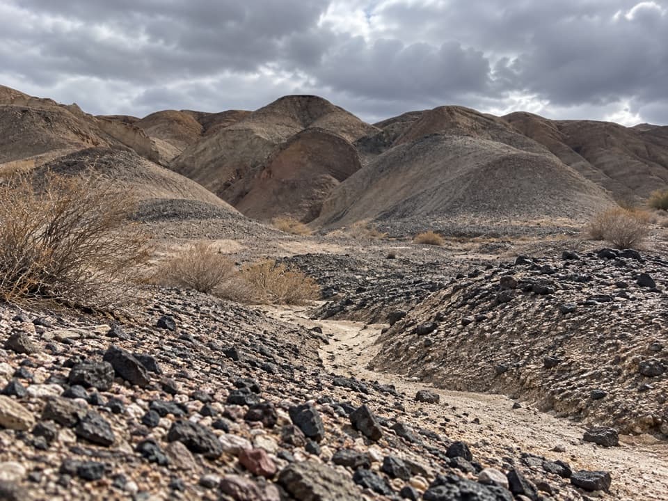 ModerateKit Fox Hills Trail5.3 mi · 4 hr · 9.2 mi awayA rough cross-country route through dark gravel washes.
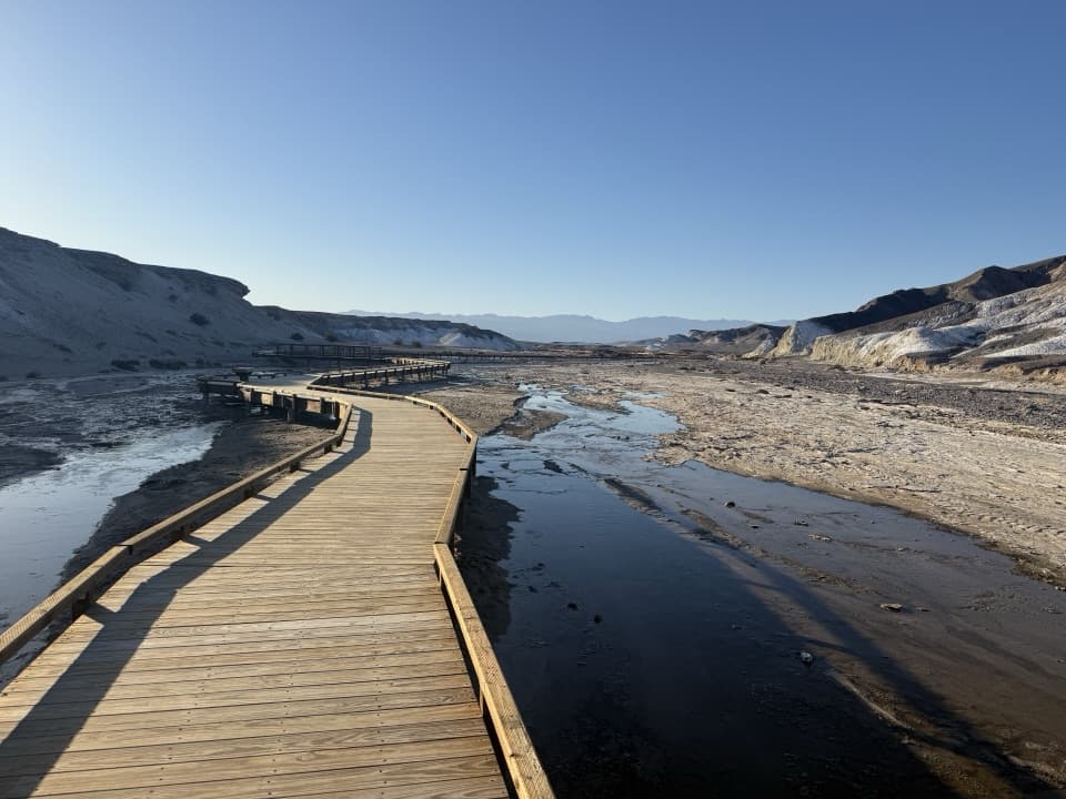 EasySalt Creek Interpretive Trail0.8 mi · 30 min · 11.1 mi awayA short boardwalk puts endemic pupfish in view.
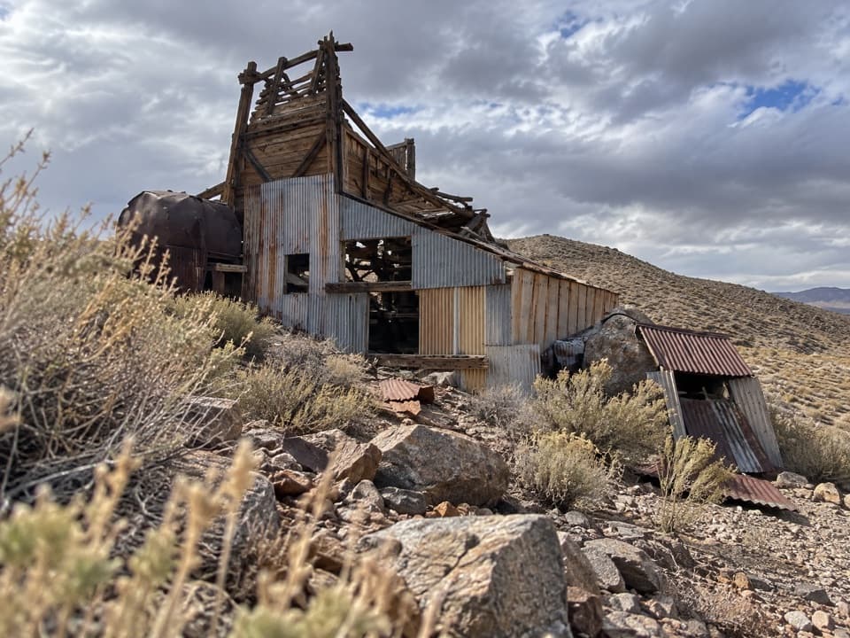 ModerateGreene-Denner-Drake Mill and Overlook Trail2.6 mi · 2.5 hr · 11.3 mi awayOld road to a desert mill; ridge views close the loop.
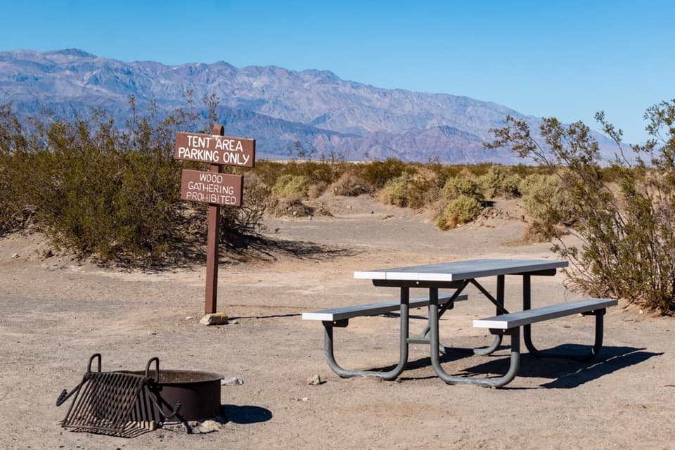 Campground · 3.3 mi awayStovepipe Wells CampgroundA gravel base for dune walks, canyons, and starry nights.
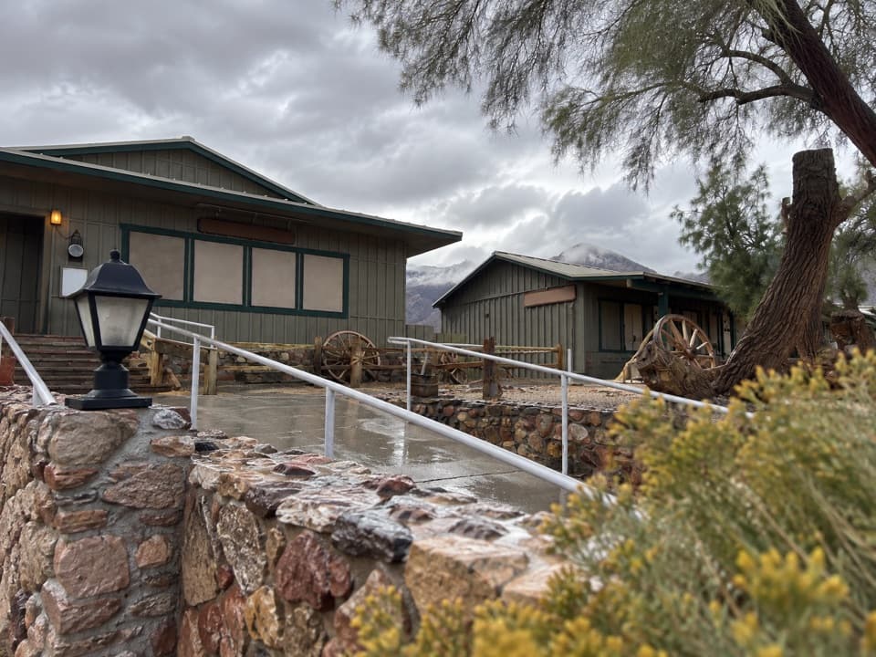 Restaurant · 3.3 mi awayToll Road RestaurantA sit-down meal stop on CA-190 at Stovepipe Wells.
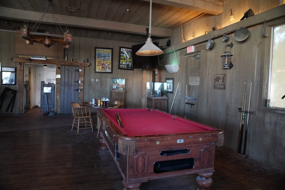 Restaurant · 3.3 mi awayBadwater SaloonA full bar and a sit-down meal at Stovepipe Wells.
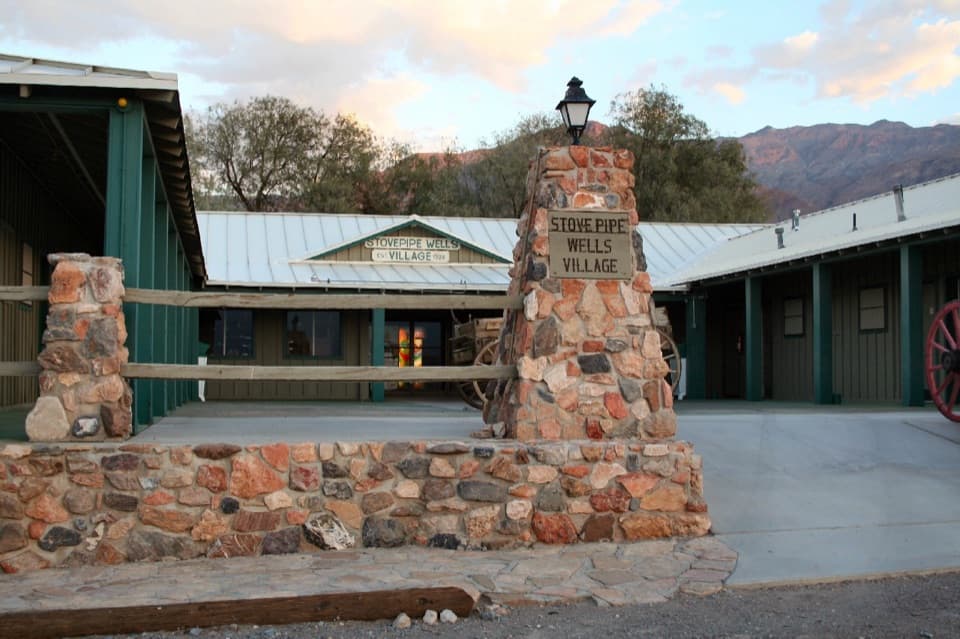 Lodging · 3.3 mi awayStovepipe Wells VillageA practical stop to refuel, eat and stay near the dunes.
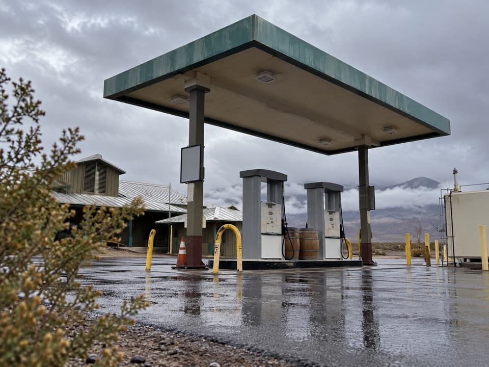 Gas station · 3.4 mi awayStovepipe Wells Gas StationA useful refueling stop where the next station is far away.
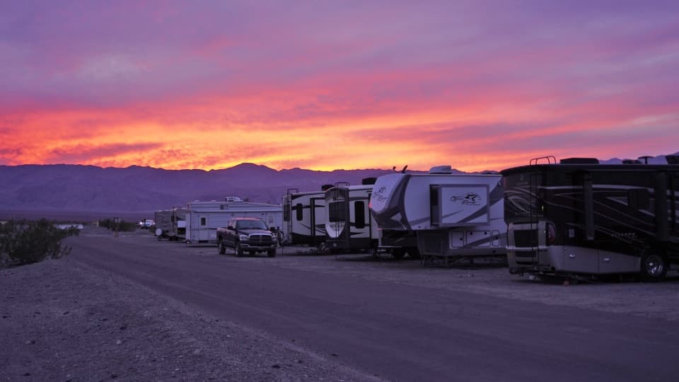 Campground · 3.4 mi awayStovepipe Wells RV ParkA 14-site full-hookup RV park with village pool access.
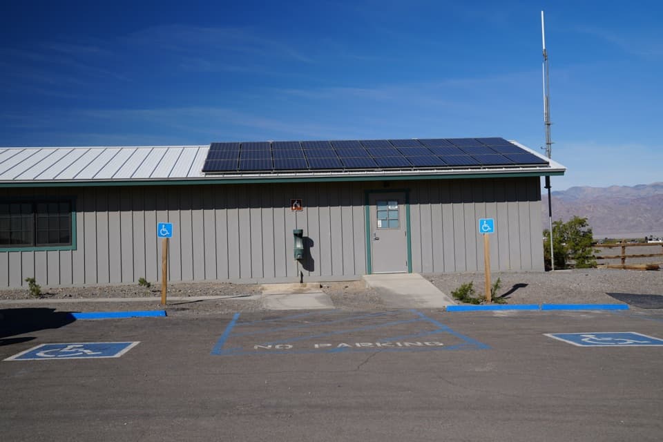 Ranger station · 3.5 mi awayStovepipe Wells Ranger StationA ranger contact stop on the CA-190 drive.
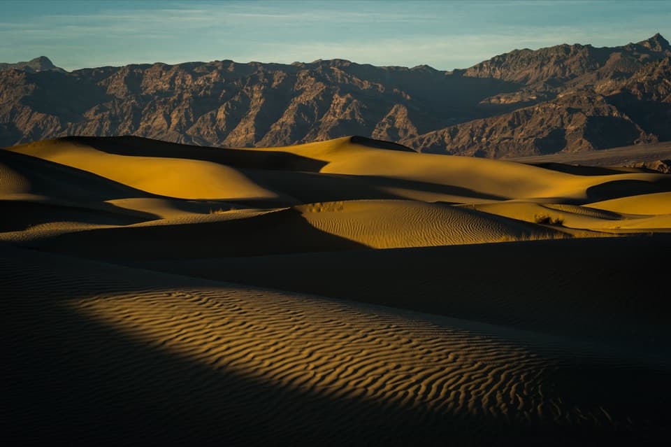 Sight · 4.7 mi awayMesquite Flat Sand DunesClimb the dunes when low sun draws out their ripples.
Parkwolf’s Death Valley ranking

The audio tour guide for the drive, plus offline maps, trails, and wildlife heatmaps for when the signal drops.



