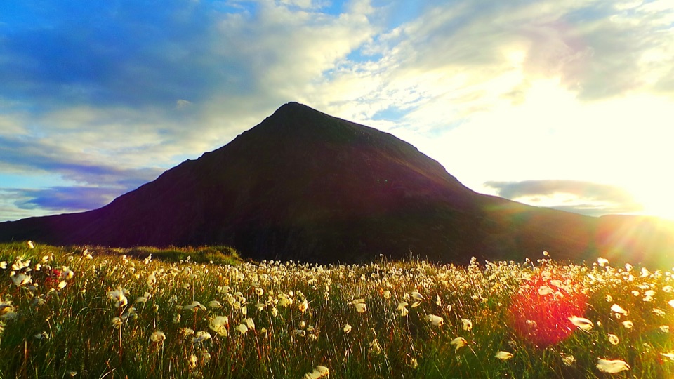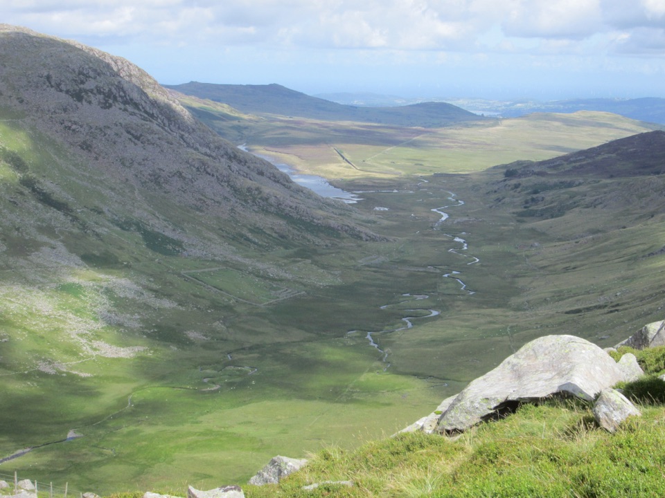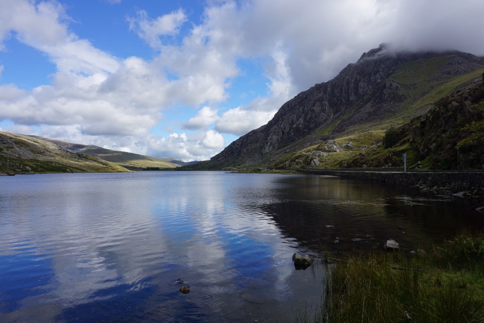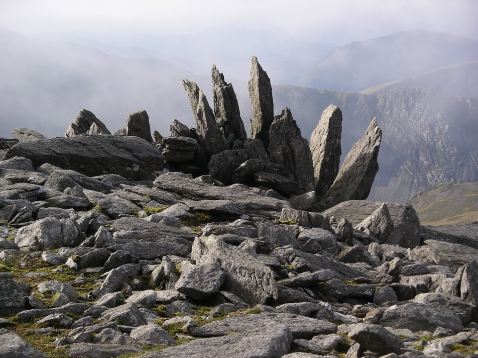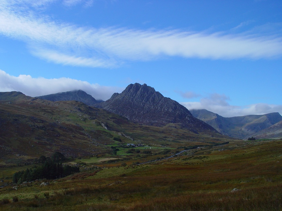
Carnedd Llewelyn in Eryri National Park

Sight · Eryri National Park

Carnedd Llewelyn

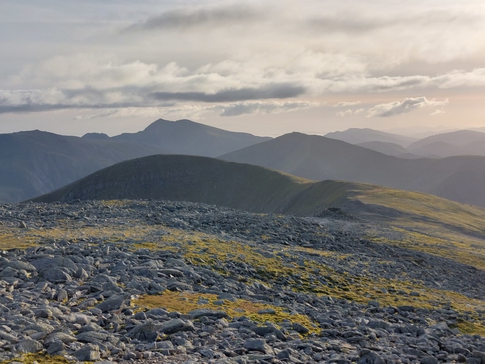
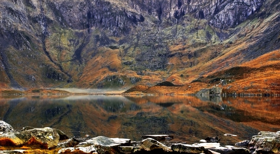
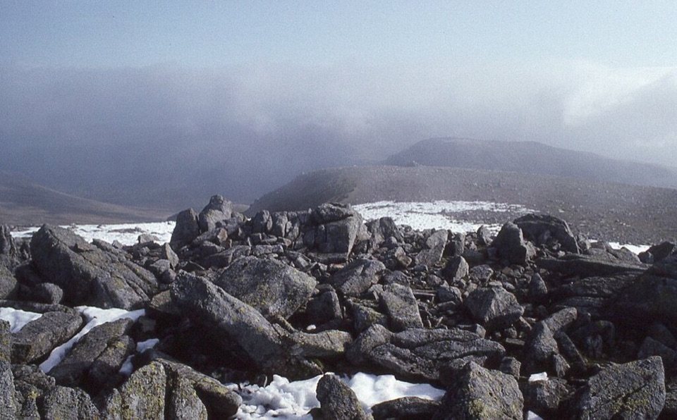
Windswept 1,064 m boulder plateau crowning the wild Carneddau ridges

Photo: Wikimedia Commons
Type
Sight
Nearest trail
4.3 km
  • #35 of 73 sights

Hear the audio tour

Llyn Ogwen

Overview

About Carnedd Llewelyn

Why stop

  • Wide views toward Tryfan, the Glyderau and Anglesey
  • A quieter feel than Yr Wyddfa

Heads up

  • Long, exposed approach over rough rocky ground
  • Cloud can turn the broad plateau into a navigation test

Map

Where it is

Loading the Eryri map
Full map
SightCarnedd Llewelyn53.16010, -3.97030
Keep this map with you offline in the Parkwolf app

Plan your stop

Before you go

Routes and access reality

Every way up is a serious hill day. As one example, the Ffynnon Llugwy approach runs roughly 7 miles out and back with around 2,670 ft of ascent and steep rocky ground high up. A round taking in Carnedd Dafydd is nearer 9.6 miles, and longer Cwm Eigiau circuits reach about 10 miles with roughly 3,640 ft of ascent and eight hours of walking, including boggy ground and narrow ridges. Some approaches involve short grade-1 scrambling, so check the line you pick before setting off.


A park ranger sits on a dash-mounted phone, talking, as Parkwolf’s Tour Guide plays “Army Cutworm Moths: A Grizzly Bear Buffet” on Grand Loop Road below Dunraven Pass in Yellowstone
Parkwolf Tour GuideThe highest, rockiest slopes around here are a summer buffet for grizzly bears.

Eryri Tour Guide

Your drive to Carnedd Llewelyn, narrated.

Parkwolf is a GPS audio tour guide for Eryri National Park. As you drive, it chimes in with what’s ahead: hidden gems, upcoming stops, history, geology, and wildlife, right through your car’s speakers.

Recorded for this place

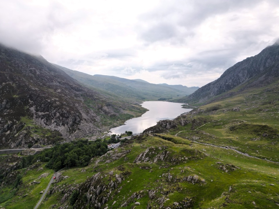
Llyn Ogwen
0:00 / 0:32
“You're nearing Llyn Ogwen, the shallow lake between the Carneddau and the Glyderau. This is the Ogwen stop I'd choose if you want the mountain setting without a climb.”

Plays as you drive up to Carnedd Llewelyn in the Parkwolf Eryri Tour Guide.

More stories near here in the app

  • The Road Beneath the Road
  • Tryfan Above Llyn Ogwen
  • The Lily on the Cliffs
  • The Cards in Bethesda's Windows
  • 298 audio storiesacross Eryri’s roads, triggered by GPS as you drive
  • Wildlife heatmapsfor Grey Heron, Tawny Owl, Common Raven, and 9 more
  • Works offlinemaps, 120 trails, 82 places, and audio download before you lose signal
  • CarPlay readysimple controls built for the drive
★★★★★
“Fantastic app with many points of information… It’s great to just turn on while you’re driving and it gives you an audio tour of the national Park. We love it!!!!”
JMJamesApp Store review
Download Parkwolf on the App StoreGet Parkwolf on Google Play

4.7 from 8,600+ ratings

Guide

More about Carnedd Llewelyn

Why bother with the climbAt 1,064 m this is the highest point of the Carneddau and one of Wales's highest summits, yet…

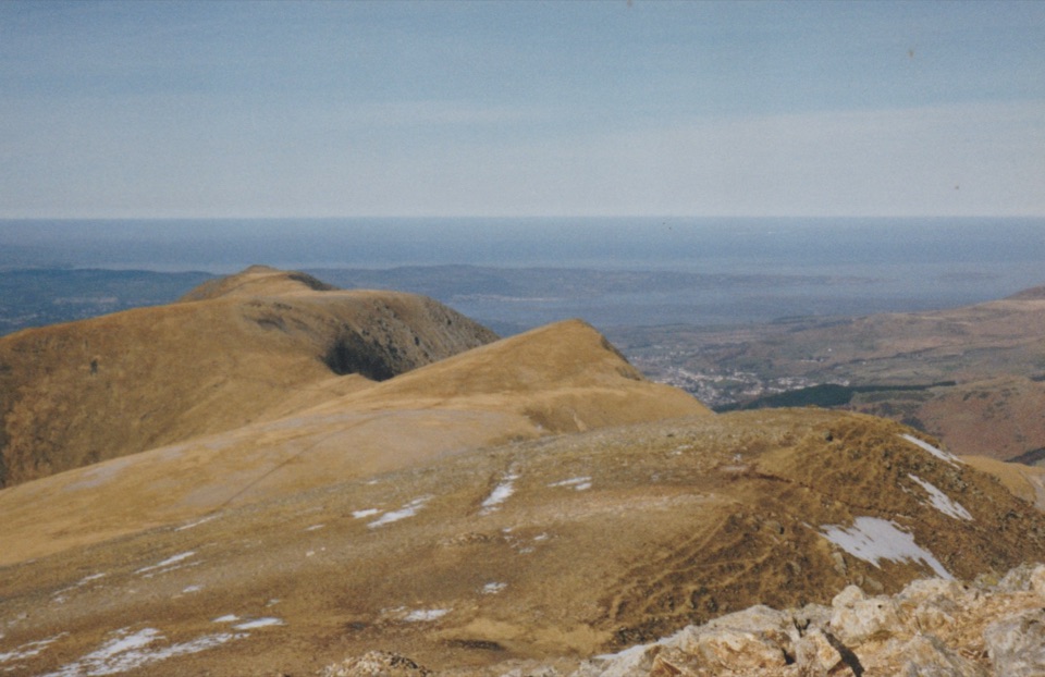
At 1,064 m this is the highest point of the Carneddau and one of Wales's highest summits, yet it sees a fraction of the boots that pour up Yr Wyddfa. On a clear day the panorama is genuinely huge: Tryfan and the Glyderau across the Ogwen valley, ridge after ridge of peaks to the south, and the Menai Strait and Anglesey away to the northwest.

What the top is actually likeThe summit is a broad, stony, boulder-strewn plateau with a cairn, not a sharp pointed peak.

The summit is a broad, stony, boulder-strewn plateau with a cairn, not a sharp pointed peak. The scale is what people remember: bare high ground falling away into glacier-carved cwms and steep crags on several sides. Do not count on shelter or facilities up there, and be aware that in cloud the plateau can feel featureless.

How it differs from the neighboursUsually quieter than Yr Wyddfa, with no railway or cafe at the top.
  • Usually quieter than Yr Wyddfa, with no railway or cafe at the top.
  • Tryfan nearby is sharp scrambling ground, while this summit is reached by a long, high-level walk across big open ridges.
  • It sits at a hub of ridges, so Carnedd Dafydd, Yr Elen, Foel Grach and Pen yr Helgi Du can be linked into a longer Carneddau ridge walk.
Come preparedThis is a strenuous, exposed, rough mountain walk.

This is a strenuous, exposed, rough mountain walk. Bring sturdy footwear, warm and waterproof layers, plenty of food and water, and the navigation skills to get yourself off a broad plateau in cloud. Mountain weather here changes within minutes and the tops catch cold, wet westerly winds. In winter, snow and ice make this a full winter mountaineering objective.

Best conditionsStable, clear weather matters far more than the calendar.

Stable, clear weather matters far more than the calendar. Late spring through early autumn gives the longest daylight and the best odds of picking out Anglesey. If the cloud is down, plan the day around navigation instead of views, because the panorama simply is not there.

Wildlife you might seeThe wider Carneddau is home to semi-feral Carneddau ponies, and chough and rare arctic-alpine…

The wider Carneddau is home to semi-feral Carneddau ponies, and chough and rare arctic-alpine plants are possibilities rather than guarantees on these high slopes. If you do meet ponies, give them plenty of space and never feed them.

Honest drawbacksApproaches are long, rocky and often wet underfoot, the upper slopes are steep, and there is…

Approaches are long, rocky and often wet underfoot, the upper slopes are steep, and there is nothing at the summit to rely on. In mist the plateau gives you few landmarks and the view simply is not there. Anyone after a short, easy, well-serviced summit walk should look elsewhere.

Wildlife

Wildlife in Eryri

All Eryri wildlife maps

Sighting maps show where each species has been reported across Eryri. Wildlife moves, so no sighting is guaranteed.

Keep exploring

Near Carnedd Llewelyn

See it all on the map

Trails nearby

More stops nearby

Parkwolf’s Eryri ranking

Top sights in Eryri

All 82 places
  1. 1Yr Wyddfa (Snowdon)Sight
  2. 2Snowdon Mountain RailwaySight
  3. 3Cader IdrisSight
  4. 4Harlech CastleSight
  5. 5Betws-y-CoedSight
  6. 6LlanberisSight

Take Parkwolf to Eryri.

The audio tour guide for the drive, plus offline maps, trails, and wildlife heatmaps for when the signal drops.

4.7 from 8,600+ ratings

Download Parkwolf on the App StoreGet Parkwolf on Google Play