Parking
Take the narrow, winding, gated single-track road from the Tal-y-Bont / Dolgarrog side to the small Llyn Eigiau road-end parking area. Room is limited, so do not block gates or field access.
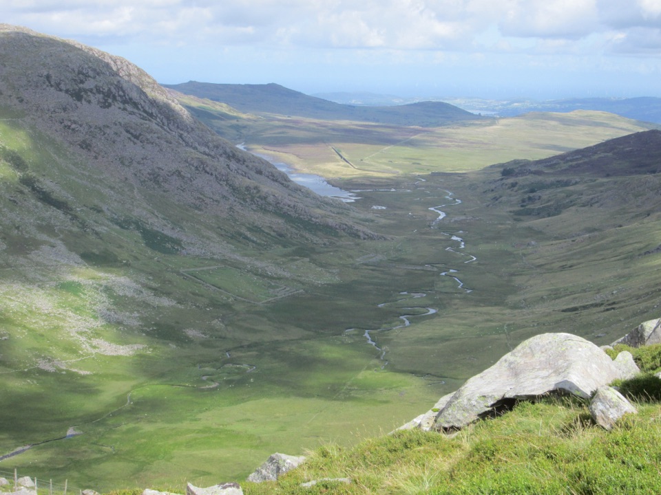
Eryri National Park, WA
Three big Carneddau summits, a short scramble and a wild reservoir return
Overview
A circular high mountain horseshoe of about 10.6 miles / 17 km, starting and finishing at the small road-end parking area near Llyn Eigiau. Distances here follow the full measured loop, including the short parking connector, the summit circuit, the descent toward Llyn Melynllyn, the path beside the reservoirs and the quarry-road return. This is the high-level route, not the shorter reservoir track walk.
Map & elevation
Plan your hike

The highest, rockiest slopes around here are a summer buffet for grizzly bears.
Eryri Tour Guide
Parkwolf is a GPS audio tour guide for Eryri National Park. As you drive, it chimes in with what’s ahead: hidden gems, upcoming stops, history, geology, and wildlife, right through your car’s speakers.
More stories near here in the app
“Fantastic app with many points of information… It’s great to just turn on while you’re driving and it gives you an audio tour of the national Park. We love it!!!!”


Trail guide
From the road end the loop climbs Pen Llithrig y Wrach (799 m), continues to Pen yr Helgi Du (833 m), then rises to Carnedd Llywelyn (1,064 m) before descending toward Llyn Melynllyn and returning on the Melynllyn Quarry Road. Expect a hard, full-day outing with roughly 1,100 m of ascent and a realistic time of about 8 hours, with around 7 to 8 hours of moving time for fit walkers.
Underfoot you get rugged paths, grass and heather, steep pulls and steep drops, and rocky ground high up. There is a short hands-on scramble near Bwlch Eryl Farchog, between Pen yr Helgi Du and Carnedd Llywelyn. It is described as free of cliff-edge exposure, but snow and ice make it considerably more serious in winter and it should not be treated as trivial.
The route is remote and navigation skills matter. The descent from Carnedd Llywelyn toward Llyn Melynllyn becomes less defined before you pick up the path between the lakes and the return track. Mountain weather can change fast, so carry map, compass and full hill kit. There is no dependable water source after the first summit, so carry enough for the whole day.
The three summits open out broad views across the Carneddau, the surrounding valleys and out to the coast. The line runs high above Cwm Eigiau and finishes through the Melynllyn and Dulyn reservoir landscape. Carneddau ponies and grazing livestock are often around, so give them space.
Access is by a narrow, winding, gated single-track road from the Tal-y-Bont and Dolgarrog side, ending at a small parking area with room for roughly 10 to 12 cars. Drive slowly, close gates behind you and do not block gates or field access. Treat this as an informal road-end pull-in rather than a serviced car park.
Dogs are allowed on public footpaths and open-access land here but must be under close control. A maximum 2 m lead is required on open-access land from 1 March to 31 July, and a short lead is expected around livestock and wildlife. Only bring a fit dog, and carry enough water for it as well.
For a lower-commitment day from the same road end, walk the reservoir access track toward Llyn Melynllyn and Llyn Dulyn and back. It shares the same wild setting with far less climbing and no scrambling, though it is a very different experience from the horseshoe.
Wildlife
 77 sightingsGrey HeronMost seen around 7 AMSighting map
 17 sightingsTawny OwlMost seen around 6 AMSighting map
 32 sightingsCommon RavenMost seen around 8 AMSighting map
 21 sightingsGreat Spotted WoodpeckerMost seen around 7 AMSighting map
 18 sightingsEuropean RabbitMost seen around 7 AMSighting map
 161 sightingsViviparous LizardMost seen around 10 AMSighting map
Sighting maps show where each species has been reported across Eryri. Wildlife moves, so no sighting is guaranteed.
Keep exploring
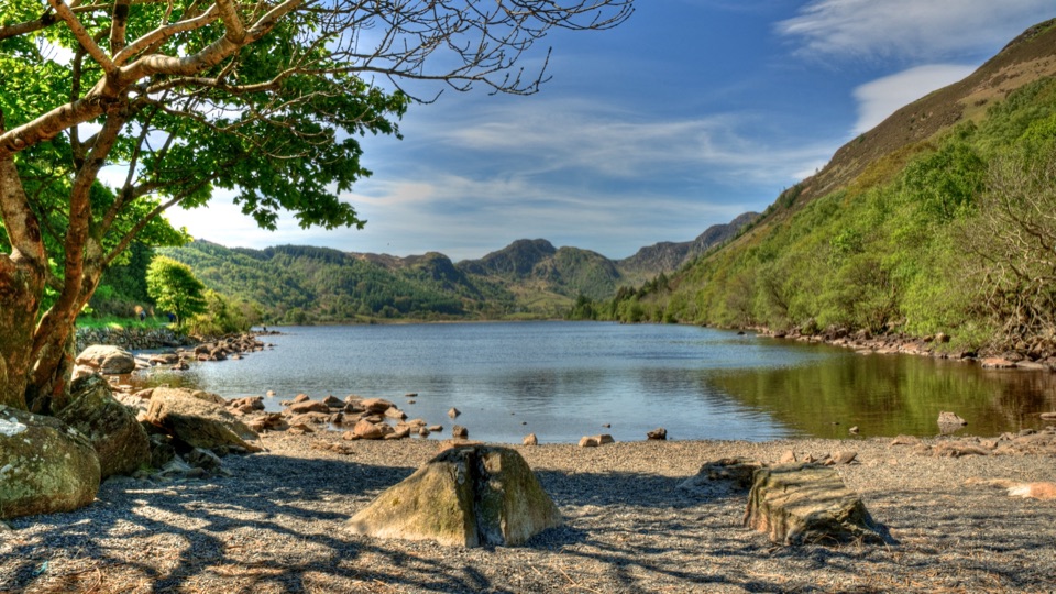 ChallengingCrafnant View Walk4.7 km · 2 hr · 5.1 km awayShort strenuous lakeside loop to a panoramic Crafnant Valley viewpoint
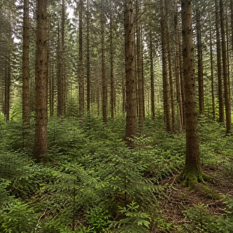 EasyAfon Crafnant Amble0.6 km · 30 min · 5.1 km awayLevel 0.4-mile riverside loop through conifers, birch and open grass
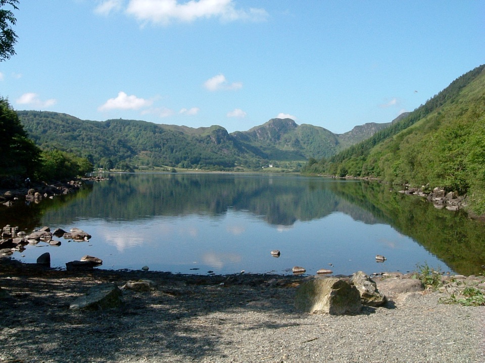 EasyLlyn Crafnant Circuit5 km · 1.5 hr · 5.1 km awayEasy 5 km lakeside loop beneath the crags of Crafnant Valley
 ModerateLady Mary’s Walk2.1 km · 1 hr · 7.9 km awayForest loop past a Tudor bowling green to Conwy Valley views
 ModerateLlanfairfechan Upland Walk6.9 km · 4 hr · 8 km awayHeath, hut circles and a Roman Road above the North Wales coast
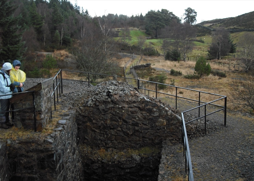 ModerateCyffty Mine Trail0.5 km · 20 min · 8.4 km awayPeer into a covered lead-mine shaft on a half-kilometre heritage loop
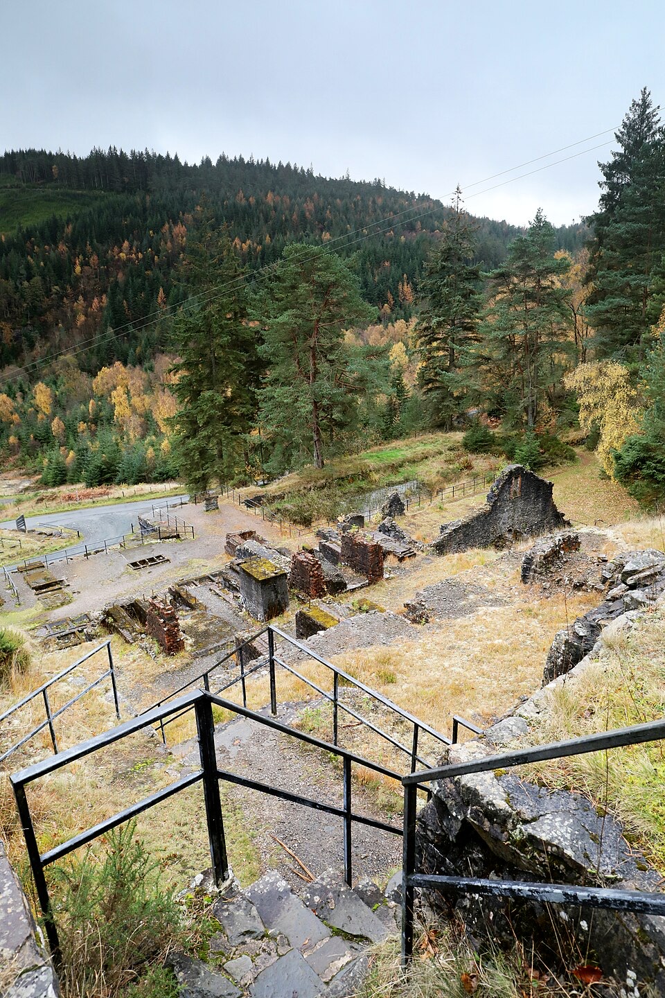 ModerateForest Lakes Walk4.2 km · 1.5 hr · 8.5 km awayThree upland reservoirs, a lead mine and a cliff-edge view above Llanrwst
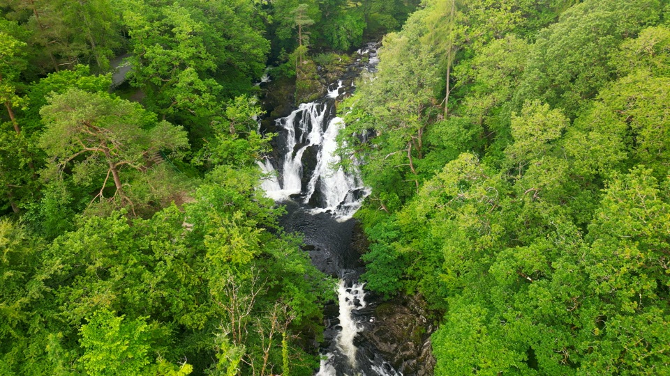 ChallengingSwallow Falls Walk3.5 km · 2 hr · 8.7 km awaySteep woodland loop to a waterfall viewpoint and Moel Siabod panoramas
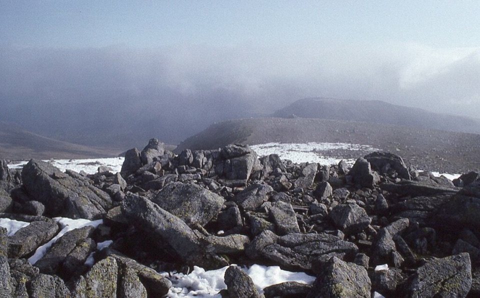 Sight · 5.2 km awayCarnedd LlewelynWindswept 1,064 m boulder plateau crowning the wild Carneddau ridges
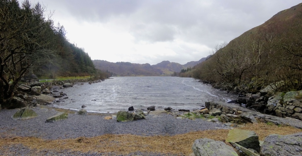 Sight · 5.6 km awayLlyn CrafnantA forest-ringed reservoir with easy lake walks and mountain reflections
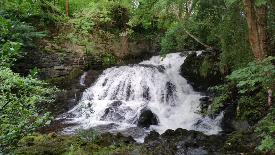 Sight · 5.7 km awayFairy Falls (Rhaeadr y Tylwyth Teg)Twenty-five feet of white water, ten minutes from the car park
 Sight · 5.9 km awayTrefriw Woollen MillsA living Welsh weaving mill where the looms still earn their keep
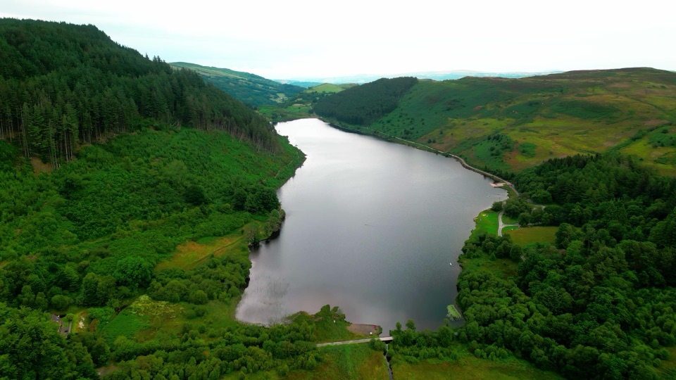 Sight · 6.6 km awayLlyn GeirionyddA forest-framed lake with a poet's monument and mountain views
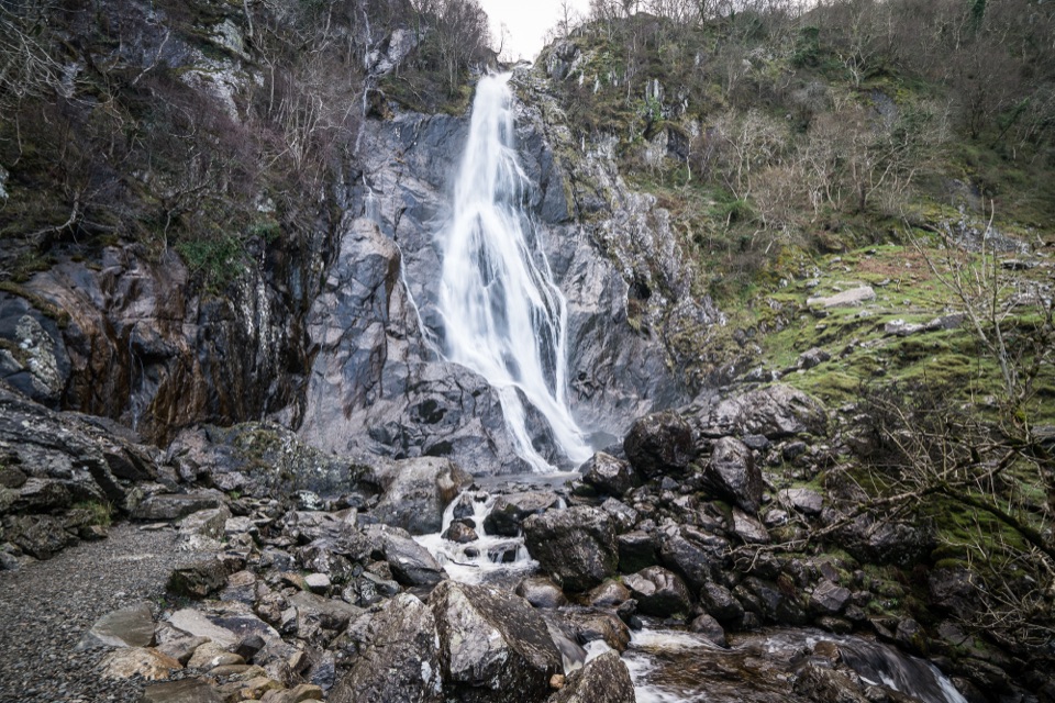 Sight · 7.3 km awayAber Falls (Rhaeadr Fawr)A 120-foot waterfall reached by an easy but uneven valley walk
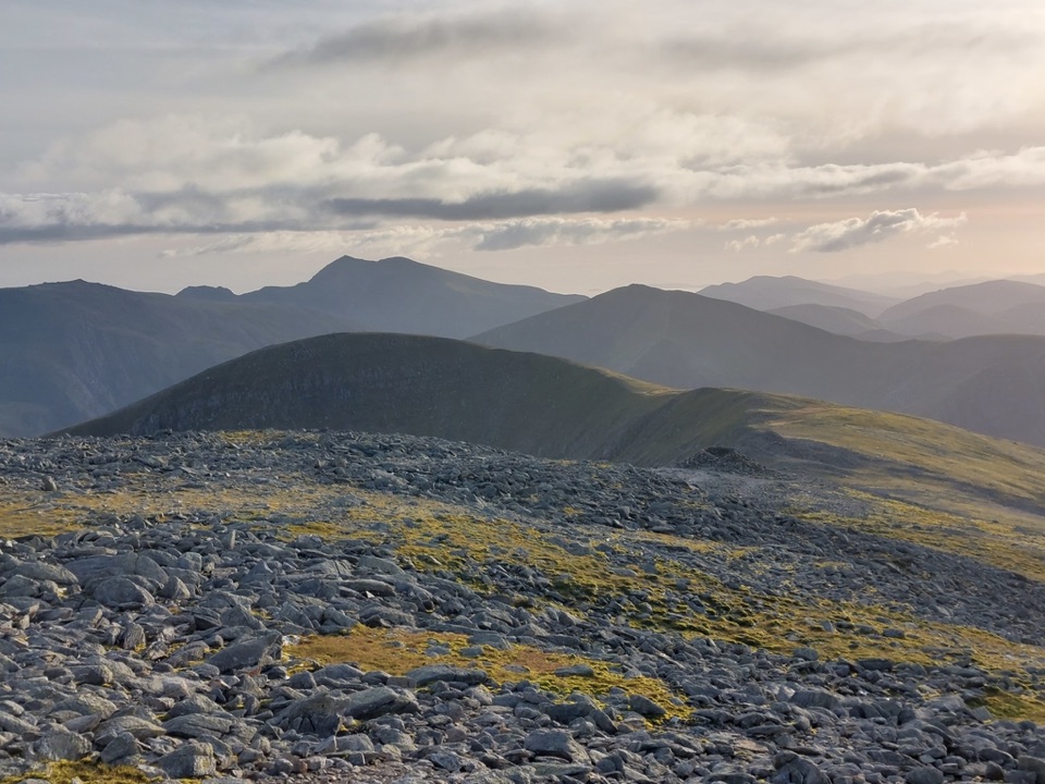 Sight · 7.6 km awayCarnedd DafyddA rugged 1,044m summit with wide Carneddau ridge views
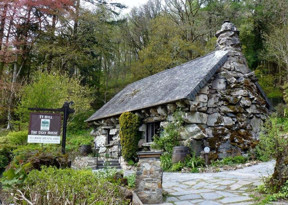 Sight · 9.1 km awayTŷ Hyll (The Ugly House)A storybook stone cottage with a surprisingly lovely pollinator garden
Parkwolf’s Eryri ranking

The audio tour guide for the drive, plus offline maps, trails, and wildlife heatmaps for when the signal drops.




