Parking
Use the Ogwen Cottage visitor and car-park access. Parking is limited and pressured at busy times, so arriving early is sensible.
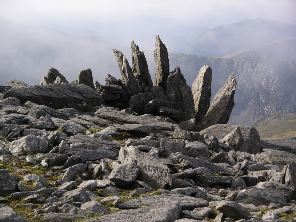
Eryri National Park, WA
Glacial lake, dark cliffs, two 900m summits on one hard rocky loop
Overview
Map & elevation
Plan your hike

The highest, rockiest slopes around here are a summer buffet for grizzly bears.
Eryri Tour Guide
Parkwolf is a GPS audio tour guide for Eryri National Park. As you drive, it chimes in with what’s ahead: hidden gems, upcoming stops, history, geology, and wildlife, right through your car’s speakers.
Recorded for this trailhead
Cwm Idwal and Ogwen“You're approaching the Ogwen start for Cwm Idwal, where a path climbs into an ice-carved bowl around Llyn Idwal. The full three-mile lake circuit takes around three hours.”
Plays as you drive up to this trailhead in the Parkwolf Eryri Tour Guide.
More stories near here in the app
“Fantastic app with many points of information… It’s great to just turn on while you’re driving and it gives you an audio tour of the national Park. We love it!!!!”


Trail guide
A closed hard mountain loop from the Ogwen Cottage visitor access, stored as 5.5 miles total (the mapped line is 8.77 km). Allow about 5 hours, and more if your party is slow or the cloud is down. This is the two-summit version of the Devil's Kitchen circuit, not the shorter Y Garn-only loop, and it does not take in Glyder Fach or Tryfan.
From Ogwen you head into Cwm Idwal and along Llyn Idwal, with the cliffs closing in ahead. The path climbs to Twll Du, the Devil's Kitchen, the dark cleft that gives the route its character, then works up onto the broad rocky ground of Glyder Fawr's summit area. From there you cross the rough high ground to Y Garn before dropping down the north-east ridge back to Ogwen. The payoff is the mix: a glacial lake basin, brooding cliff scenery, two summits over 900m, and long views across the Glyderau and down the Ogwen valley.
Treat this as a serious mountain day. The ground is rough and rocky throughout the high sections, with steep ascent out of the cwm and a steep descent off Y Garn. No technical climbing is required by the route as mapped, but expect hands-on movement over rock in places, and expect the boulder-strewn ground around Glyder Fawr to slow you down more than the distance suggests. Boots with real grip and ankle support make a difference here.
The high crossing between Glyder Fawr and Y Garn is open, exposed and genuinely hard to follow in poor visibility, where featureless rocky ground and few obvious landmarks make wayfinding difficult. Carry a map and compass and know how to use them rather than relying on a screen. If cloud is sitting on the tops, the views that justify the effort are gone and the navigation risk goes up, so this is a route worth saving for a clear day.
Dogs are welcome under close control. On open-access land between 1 March and 31 July they must be on a lead no longer than 2m because of livestock and ground-nesting birds. Bear in mind that the steep rocky sections and the descent ridge are hard work for most dogs.
For 5.5 miles this is a lot of effort, and the middle section across the tops is more monotonous rock-hopping than dramatic ridge walking. If you want the same lake and cliff scenery for less commitment, the shorter Y Garn-only Devil's Kitchen loop covers the best of Cwm Idwal without the long rough crossing from Glyder Fawr.
Wildlife
 77 sightingsGrey HeronMost seen around 7 AMSighting map
 17 sightingsTawny OwlMost seen around 6 AMSighting map
 32 sightingsCommon RavenMost seen around 8 AMSighting map
 21 sightingsGreat Spotted WoodpeckerMost seen around 7 AMSighting map
 18 sightingsEuropean RabbitMost seen around 7 AMSighting map
 161 sightingsViviparous LizardMost seen around 10 AMSighting map
Sighting maps show where each species has been reported across Eryri. Wildlife moves, so no sighting is guaranteed.
Keep exploring
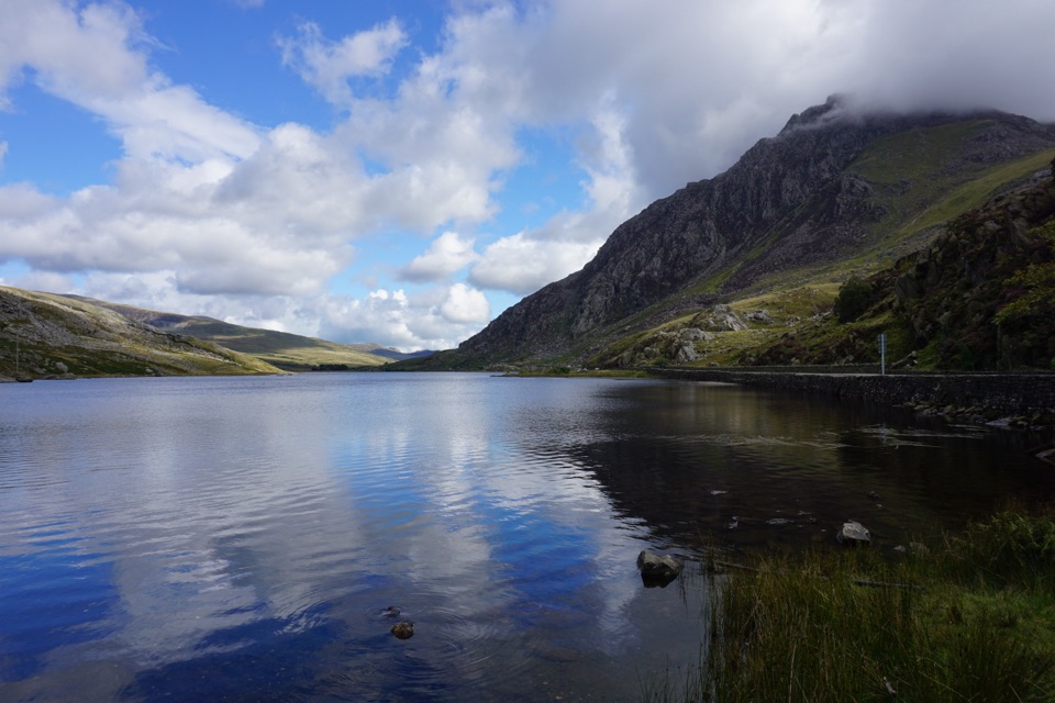 ModerateLlyn Ogwen Circular Walk4.7 km · 1.5 hr · At the trailheadBoulder-hopping lakeshore loop under Tryfan, back on the roadside pavement
 ModerateCwm Idwal Walk4.8 km · 3 hr · At the trailheadGlacier-carved bowl, stone lakeside path and the Devil's Kitchen headwall
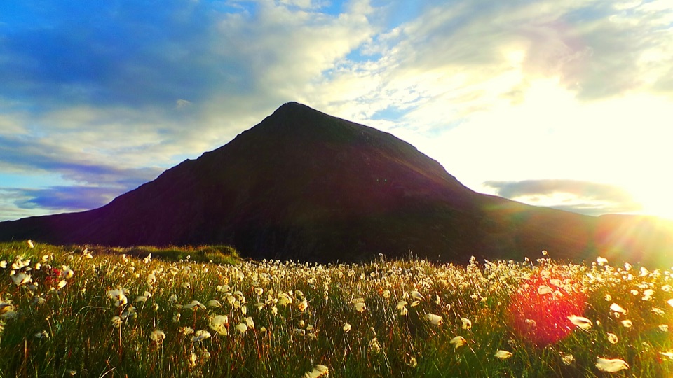 ChallengingHigh Carneddau from Llyn Ogwen15 km · 6.5 hr · 1.7 km awayThree Carneddau summits, one long rocky ridge, straight up from the A5
 ChallengingYr Wyddfa Pyg Track and Miners’ Track Loop12.1 km · 6 hr · 4.8 km awayRocky climb to Wales's highest summit, down past lakes and mine ruinsChallengingPyg Track11 km · 6 hr · 4.8 km awayRugged rocky climb from Pen-y-Pass to Yr Wyddfa's summit and back
 ChallengingMiners’ Track12.9 km · 6 hr · 4.8 km awayGentle lakeside start, then a steep scree haul up to Yr Wyddfa
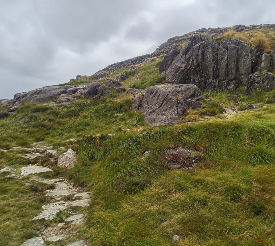 ChallengingPen y Gwryd to Pen y Pass2 km · 1 hr · 4.9 km awayA short, rough hill link that keeps you off the A4086 tarmac
 ChallengingLlanberis Path14.5 km · 7 hr · 6.9 km awayNine miles of steady, unrelenting ascent to the highest summit in Wales
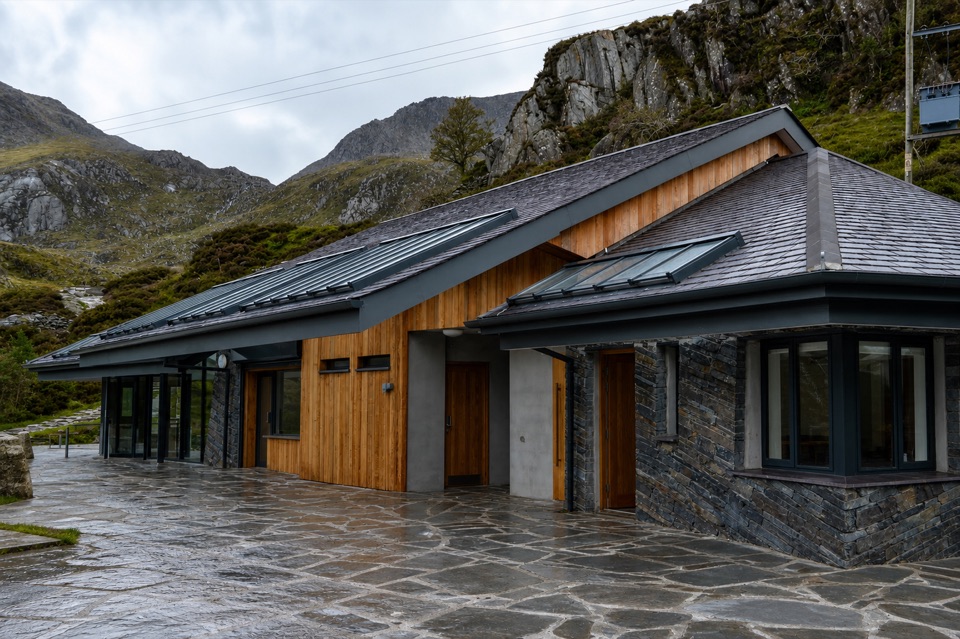 Visitor center · At the trailheadCwm Idwal CentreCoffee, showers and a doorway into a glacier-carved cwm
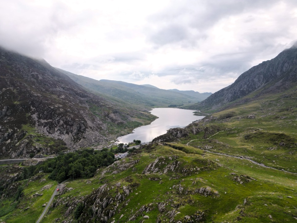 Sight · 0.9 km awayLlyn OgwenShallow ribbon lake mirroring the Glyderau, with Arthurian sword folklore
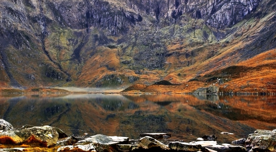 Sight · 1.2 km awayCwm IdwalA compact glacial amphitheatre wrapped around a mountain lake
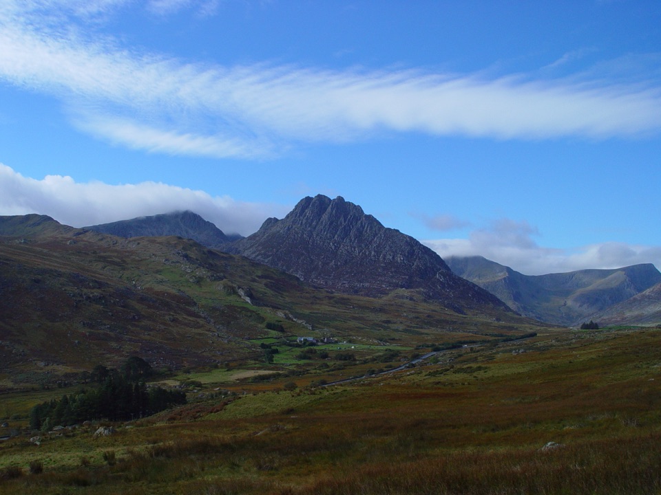 Sight · 1.8 km awayTryfanA jagged summit where every ascent becomes a hands-on scramble
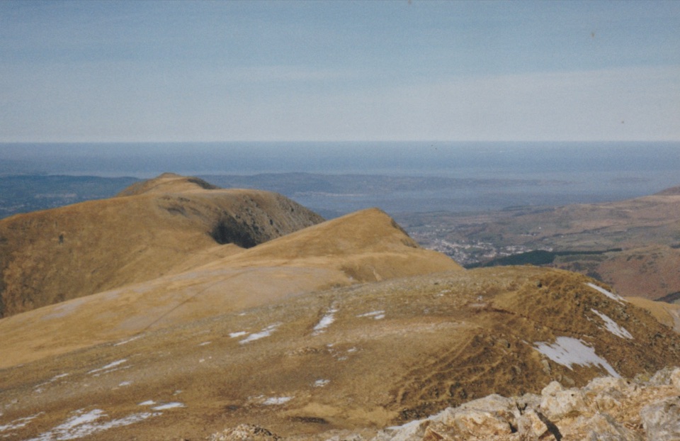 Sight · 2 km awayY Garn (Glyderau)A 947-metre summit with a front-row view of the Glyderau
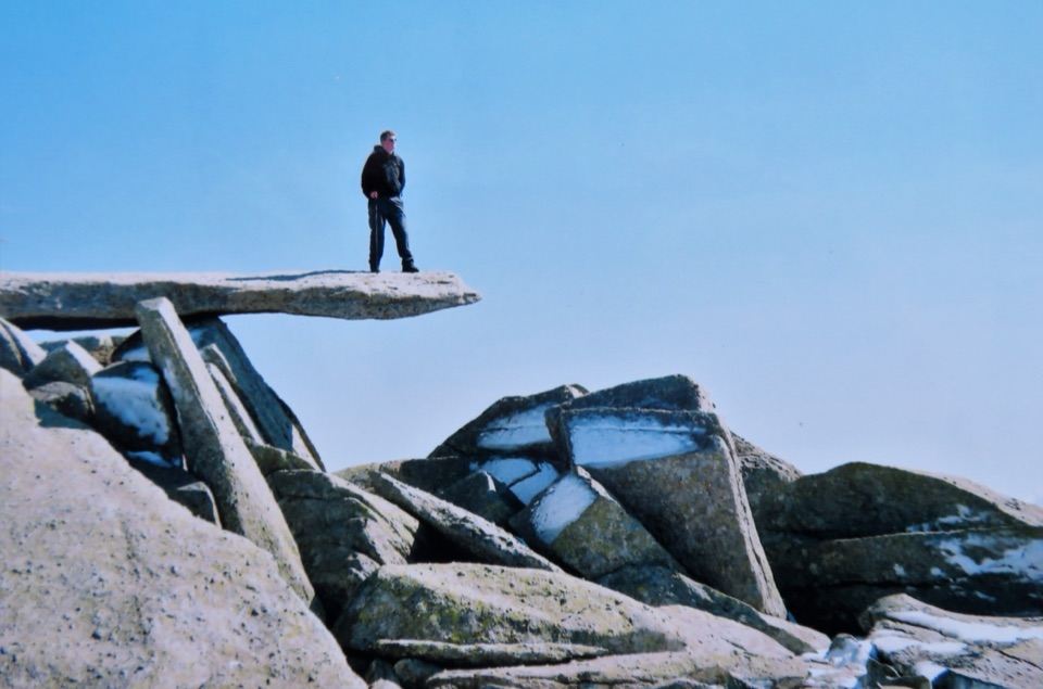 Sight · 2.2 km awayGlyder FachA jagged summit crowned by the famous Cantilever Stone
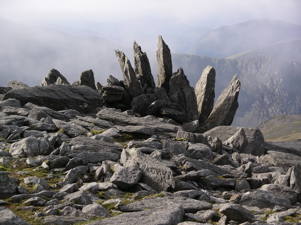 Sight · 2.5 km awayGlyder FawrA wild boulder plateau with wide views across Eryri
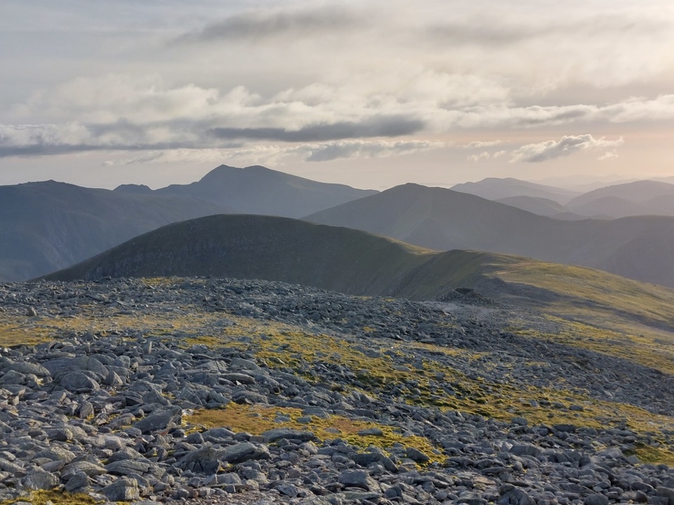 Sight · 3 km awayCarnedd DafyddA rugged 1,044m summit with wide Carneddau ridge views
Parkwolf’s Eryri ranking

The audio tour guide for the drive, plus offline maps, trails, and wildlife heatmaps for when the signal drops.
