Carnedd Dafydd in Eryri National Park

Sight · Eryri National Park

Carnedd Dafydd

A rugged 1,044m summit with wide Carneddau ridge views

Photo: Wikimedia Commons
Type
Sight
Nearest trail
2.6 km
Audio stories
5 nearby

Hear the audio tour

Llyn Ogwen

Overview

About Carnedd Dafydd

Why stop

  • Huge ridge and mountain views on a clear day
  • Striking rocky high-mountain landscape

Heads up

  • Long, strenuous approach over exposed rough ground
  • Cloud can erase the views and complicate navigation
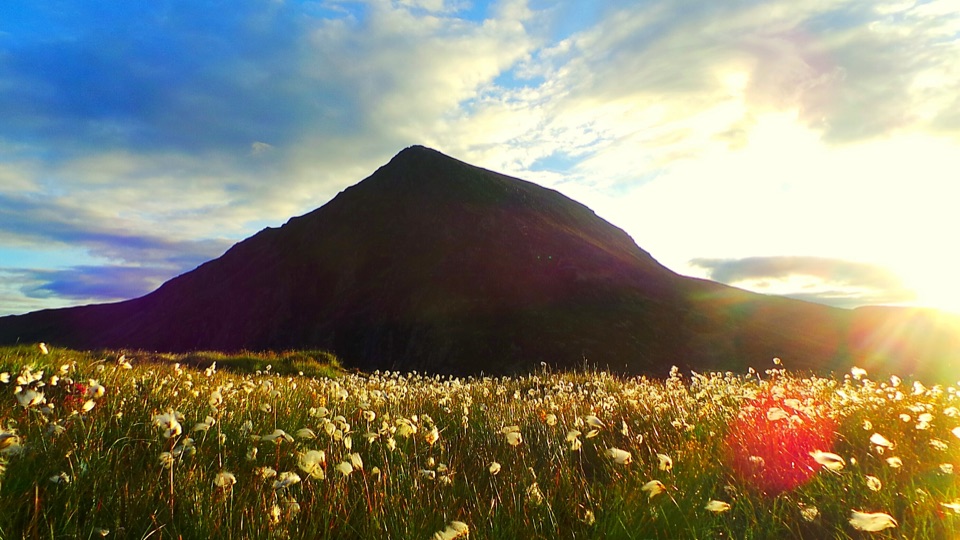
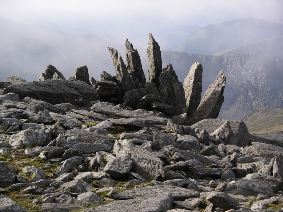
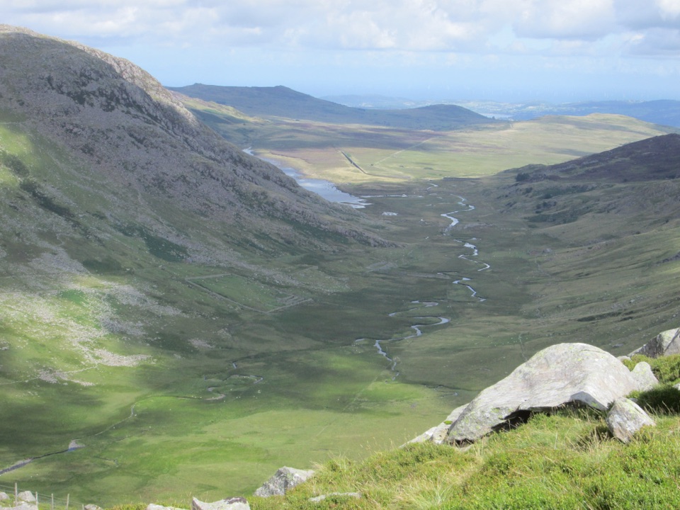
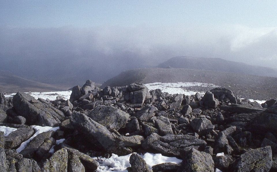
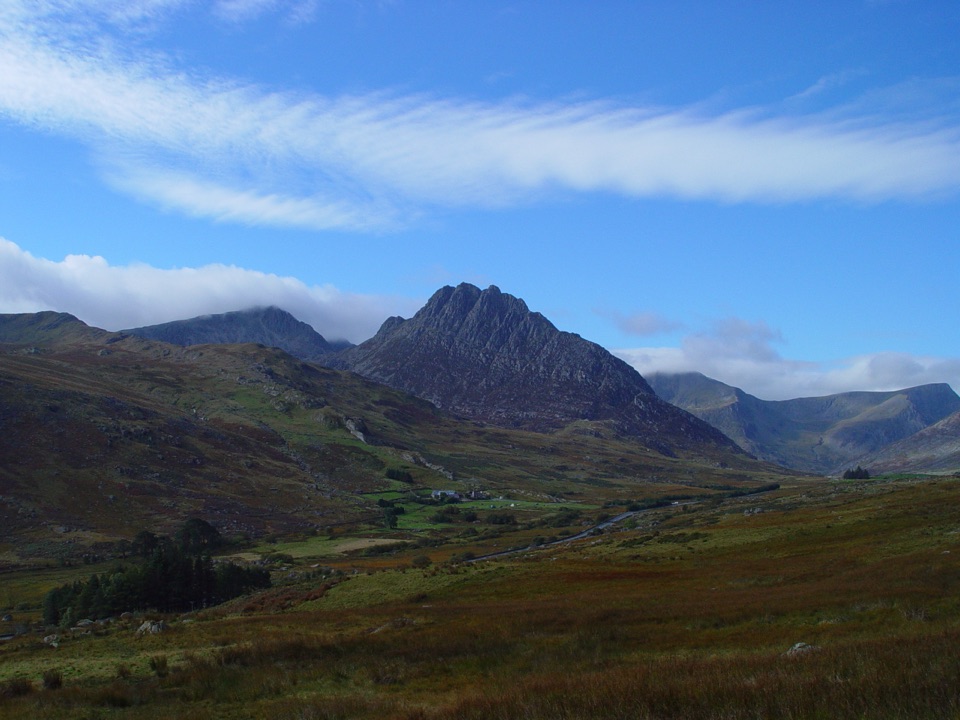
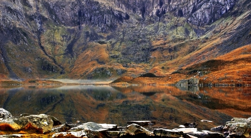
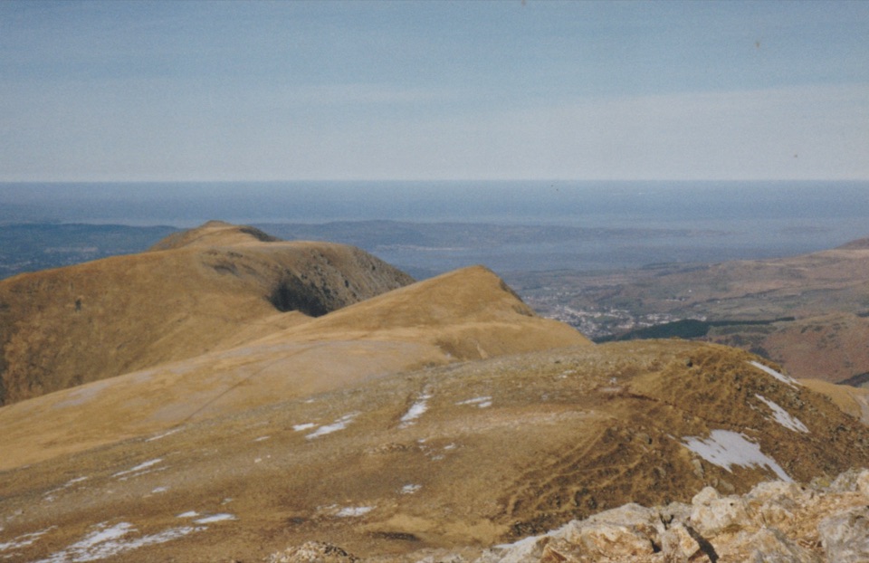
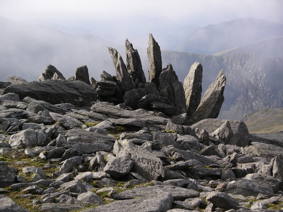
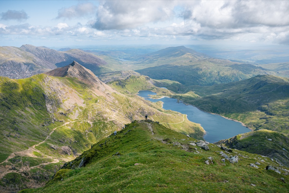
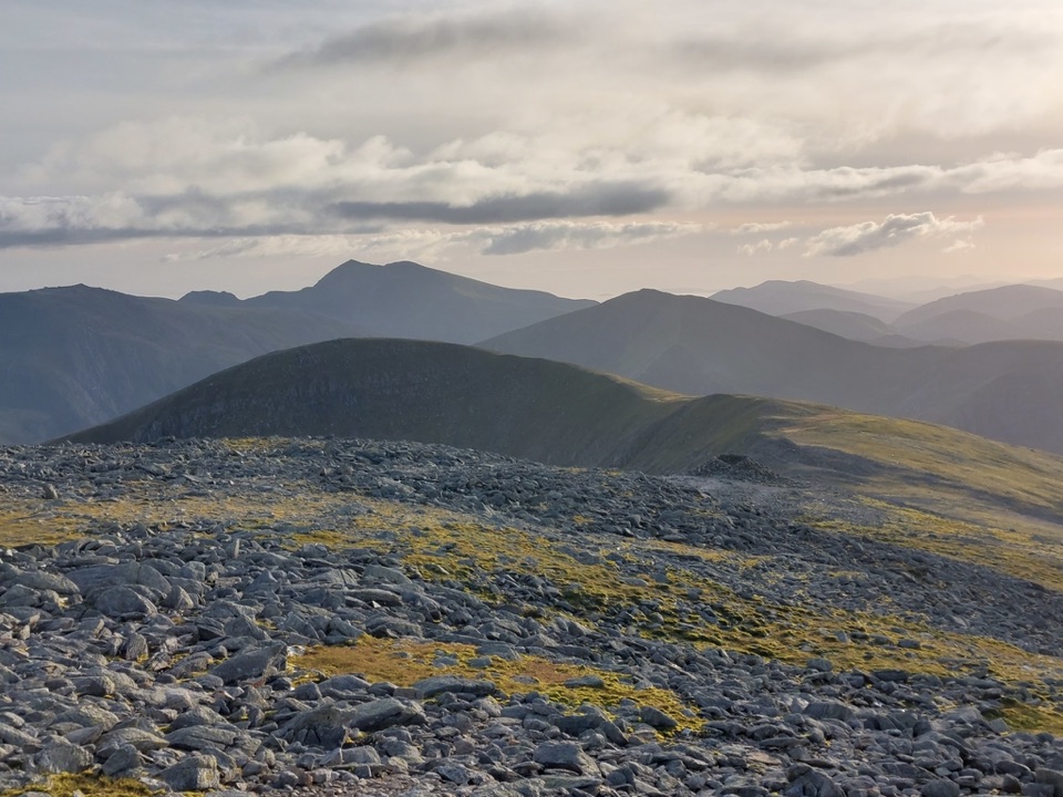
Carnedd Dafydd is a 1,044-metre summit in the Carneddau, with a rough, boulder-strewn top rather than a neatly pointed peak. The cairn and small stone shelter sit in an open high mountain landscape, and a clear day brings long views towards Pen yr Ole Wen, Yr Wyddfa, Carnedd Llewelyn, and the wider ridges of Eryri.
Parkwolf’s verdictWhy go

Map

Where it is

Loading the Eryri map
Full map
SightCarnedd Dafydd53.14773, -4.00084
Keep this map with you offline in the Parkwolf app

Plan your stop

Before you go

Best time to visit

Choose a day with a good visibility forecast and enough daylight for the whole route. Early morning or late afternoon gives softer light across the ridges, but cloud can arrive quickly at any time. Summer offers longer walking days but generally draws more people to the popular Ogwen approaches; spring and autumn can feel quieter but are often colder and wetter. Winter conditions need proper mountain experience and equipment. If wind, rain, ice, or cloud makes the route-finding feel beyond your ability, turn back rather than forcing the summit.


A park ranger sits on a dash-mounted phone, talking, as Parkwolf’s Tour Guide plays “Army Cutworm Moths: A Grizzly Bear Buffet” on Grand Loop Road below Dunraven Pass in Yellowstone
Parkwolf Tour GuideThe highest, rockiest slopes around here are a summer buffet for grizzly bears.

Eryri Tour Guide

Your drive to Carnedd Dafydd, narrated.

Parkwolf is a GPS audio tour guide for Eryri National Park. As you drive, it chimes in with what’s ahead: hidden gems, upcoming stops, history, geology, and wildlife, right through your car’s speakers.

Recorded for this place

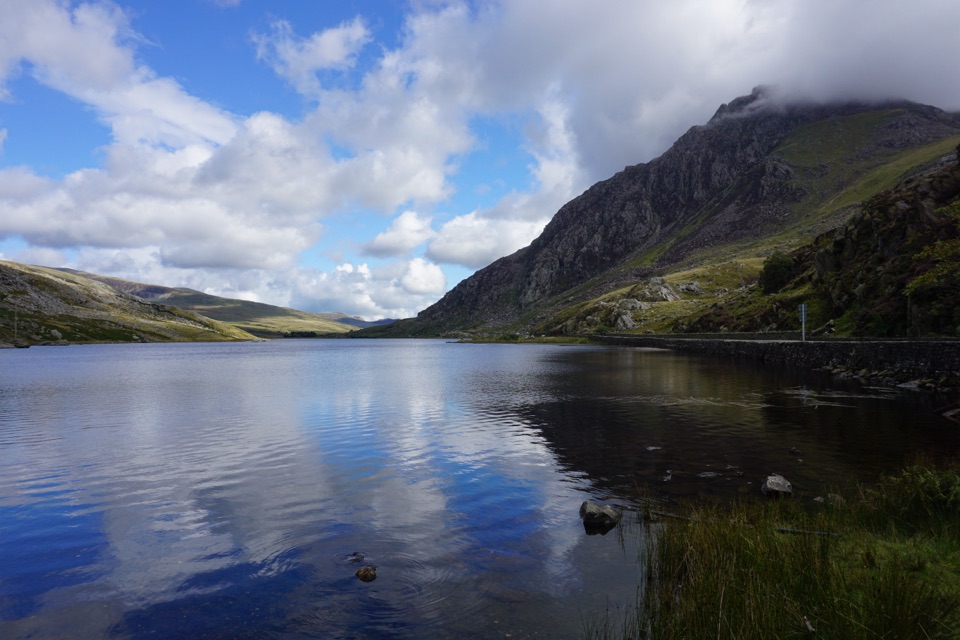
Llyn Ogwen
0:00 / 0:32
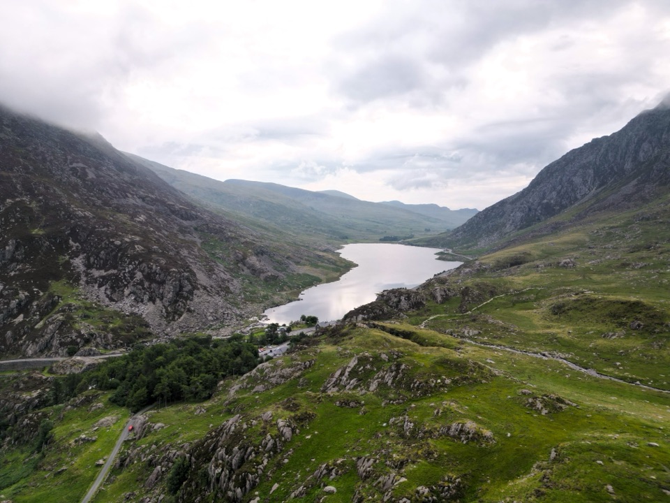
“You're nearing Llyn Ogwen, the shallow lake between the Carneddau and the Glyderau. This is the Ogwen stop I'd choose if you want the mountain setting without a climb.”

Plays as you drive up to Carnedd Dafydd in the Parkwolf Eryri Tour Guide.

More stories near here in the app

  • The Lily on the Cliffs
  • Tryfan Above Llyn Ogwen
  • Cwm Idwal and Ogwen
  • The Cards in Bethesda's Windows
  • 298 audio storiesacross Eryri’s roads, triggered by GPS as you drive
  • Wildlife heatmapsfor Grey Heron, Tawny Owl, Common Raven, and 9 more
  • Works offlinemaps, 120 trails, 82 places, and audio download before you lose signal
  • CarPlay readysimple controls built for the drive
★★★★★
“Fantastic app with many points of information… It’s great to just turn on while you’re driving and it gives you an audio tour of the national Park. We love it!!!!”
JMJamesApp Store review
Download Parkwolf on the App StoreGet Parkwolf on Google Play

4.7 from 8,600+ ratings

Guide

More about Carnedd Dafydd

The walkThis is a destination for a full mountain day, not a roadside stop.

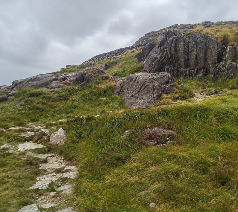
This is a destination for a full mountain day, not a roadside stop. A common approach from the Ogwen Valley climbs towards Pen yr Ole Wen before following the high ridge to Carnedd Dafydd; longer approaches also come from the Bethesda side. The exact route varies, but expect steep ascent, rough ground, exposed sections, and stretches where the path is faint. Some options include scrambling, so check the route carefully and do not treat the summit pin as a navigable trailhead.

There are no toilets, food, shops, or reliable water facilities at the summit. Carry everything you need, including food and drink, and take a paper map and compass as well as a charged phone. Wear sturdy boots and bring warm and waterproof layers even when the valley forecast looks comfortable. In cloud, the broad plateau can be harder to navigate than it first appears.
Landscape and wildlifeThe Carneddau changes from heath, grass, and peatland on the lower slopes to exposed rock and…

The Carneddau changes from heath, grass, and peatland on the lower slopes to exposed rock and open ridges higher up. Sheep are a familiar sight across the uplands, while the wider range is known for its semi-feral Carneddau ponies, usually more likely on rougher lower ground than among the summit boulders. Give grazing animals plenty of space and leave no trace.

Wildlife

Wildlife in Eryri

All Eryri wildlife maps

Sighting maps show where each species has been reported across Eryri. Wildlife moves, so no sighting is guaranteed.

Keep exploring

Near Carnedd Dafydd

See it all on the map

Trails nearby

More stops nearby

Parkwolf’s Eryri ranking

Top sights in Eryri

All 82 places
  1. 1Yr Wyddfa (Snowdon)Sight
  2. 2Snowdon Mountain RailwaySight
  3. 3Cader IdrisSight
  4. 4Harlech CastleSight
  5. 5Betws-y-CoedSight
  6. 6LlanberisSight

Take Parkwolf to Eryri.

The audio tour guide for the drive, plus offline maps, trails, and wildlife heatmaps for when the signal drops.

4.7 from 8,600+ ratings

Download Parkwolf on the App StoreGet Parkwolf on Google Play