Parking
Start at the Llyn Crafnant car park, located just before the road reaches the lake. Parking is free, Blue Badge spaces are available, toilets are open at all times, and overnight parking is not permitted.
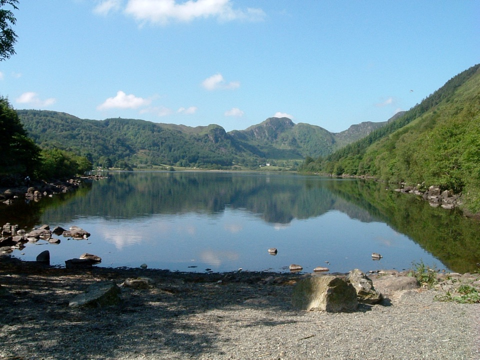
Eryri National Park, WA
Easy 5 km lakeside loop beneath the crags of Crafnant Valley
Overview
Map & elevation
Plan your hike

The highest, rockiest slopes around here are a summer buffet for grizzly bears.
Eryri Tour Guide
Parkwolf is a GPS audio tour guide for Eryri National Park. As you drive, it chimes in with what’s ahead: hidden gems, upcoming stops, history, geology, and wildlife, right through your car’s speakers.
Recorded for this trailhead
Llyn Crafnant“You're coming up on Llyn Crafnant, a reservoir in a wooded valley below the Carneddau. It was built to supply Llanrwst; a stone monument near the outflow marks that connection.”
Plays as you drive up to this trailhead in the Parkwolf Eryri Tour Guide.
More stories near here in the app
“Fantastic app with many points of information… It’s great to just turn on while you’re driving and it gives you an audio tour of the national Park. We love it!!!!”


Trail guide
This is a closed loop of 3.1 miles (5 km), starting and finishing at the Llyn Crafnant car park, and it usually takes one to two hours at a relaxed pace. It is graded Easy. The route climbs gently up the valley, with about 486 ft (148 m) of ascent spread across the circuit rather than concentrated in any hard pull.
Most of the way follows wide tracks, tarmac and forest roads, with rougher going in places along the lakeside. Gates on the route include accessible kissing gates, and the final stretch back to the car park is on a tarmac road. The circuit is suitable for adaptive equipment, including adaptive cycles, adaptive wheelchairs and mobility scooters.
Llyn Crafnant sits at the heart of the walk, framed by imposing crags at the head of the valley and the remains of old slate mines. The loop also looks across to Cwm Glas Crafnant National Nature Reserve, a steep site with no paths through it, so this walk is the best way to appreciate it. The woodland clinging to those cliffs is a rare type of ash woodland.
Parking at the site is free, with Blue Badge spaces available, and overnight parking is not permitted. Accessible toilets are on site and open at all times. There is a lakeside cafe, but it is privately owned, so plan as though refreshments may not be available.
Dogs can be walked on public footpaths and open access land. Keep dogs on a lead because of livestock, wildlife and other visitors. Access designations vary along the route, so the safest approach is a short lead throughout, with close control at minimum on public rights of way and a lead of no more than 2 m on open access land from 1 March to 31 July. Always clear up after your dog.
The walking itself is straightforward, but the crags and the nature reserve slopes above the lake are not places to explore. Keep to the route, and remember that the reservoir and the lakeside cafe are in private ownership.
Wildlife
 77 sightingsGrey HeronMost seen around 7 AMSighting map
 17 sightingsTawny OwlMost seen around 6 AMSighting map
 32 sightingsCommon RavenMost seen around 8 AMSighting map
 21 sightingsGreat Spotted WoodpeckerMost seen around 7 AMSighting map
 18 sightingsEuropean RabbitMost seen around 7 AMSighting map
 161 sightingsViviparous LizardMost seen around 10 AMSighting map
Sighting maps show where each species has been reported across Eryri. Wildlife moves, so no sighting is guaranteed.
Keep exploring
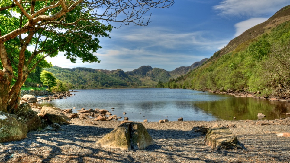 ChallengingCrafnant View Walk4.7 km · 2 hr · At the trailheadShort strenuous lakeside loop to a panoramic Crafnant Valley viewpoint
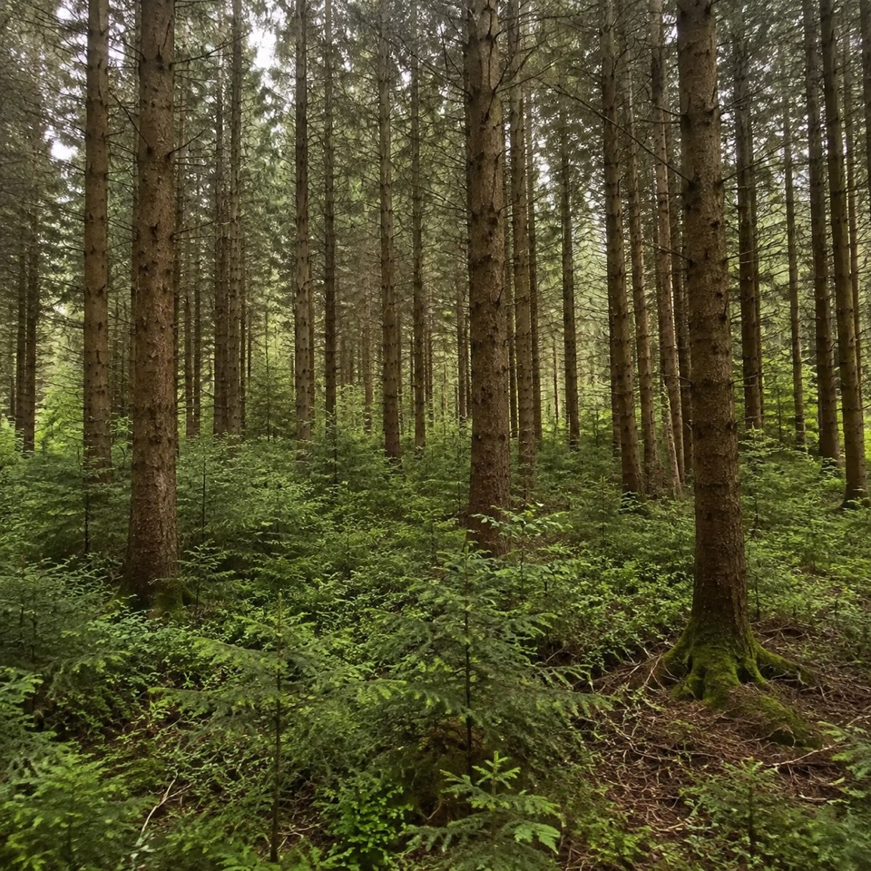 EasyAfon Crafnant Amble0.6 km · 30 min · At the trailheadLevel 0.4-mile riverside loop through conifers, birch and open grass
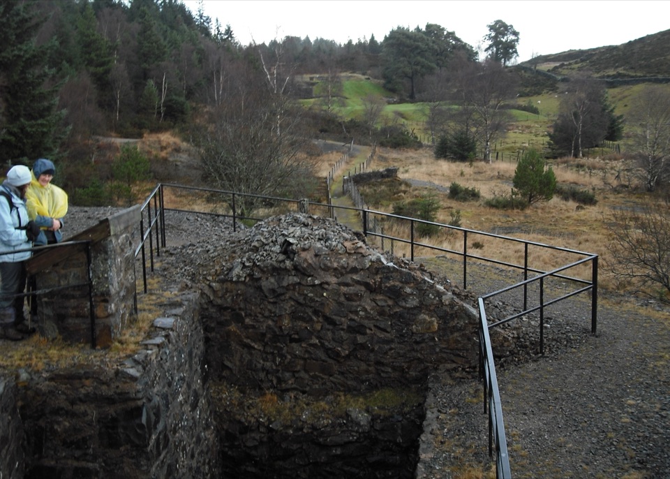 ModerateCyffty Mine Trail0.5 km · 20 min · 3.3 km awayPeer into a covered lead-mine shaft on a half-kilometre heritage loop
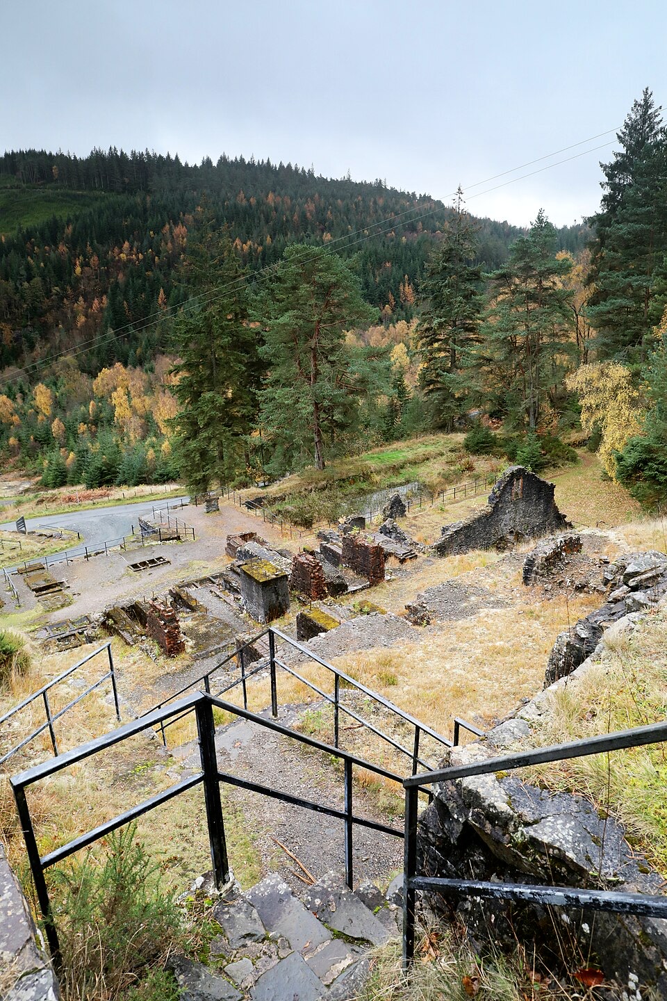 ModerateForest Lakes Walk4.2 km · 1.5 hr · 3.4 km awayThree upland reservoirs, a lead mine and a cliff-edge view above Llanrwst
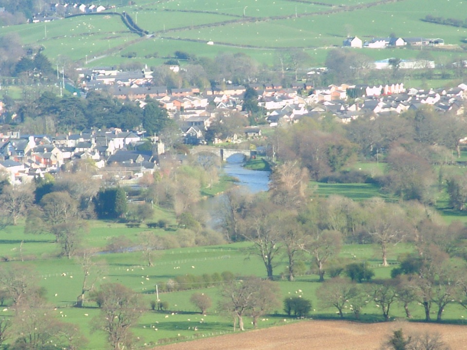 ModerateLady Mary’s Walk2.1 km · 1 hr · 3.5 km awayForest loop past a Tudor bowling green to Conwy Valley views
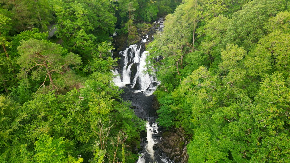 ChallengingSwallow Falls Walk3.5 km · 2 hr · 3.6 km awaySteep woodland loop to a waterfall viewpoint and Moel Siabod panoramas
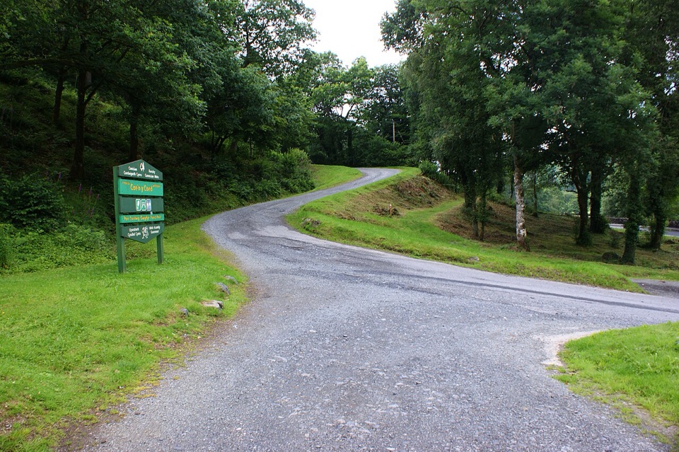 ChallengingCraig-Forris Walk3.3 km · 1.8 hr · 4.3 km awayShort, steep loop through an old arboretum to a mountain panorama
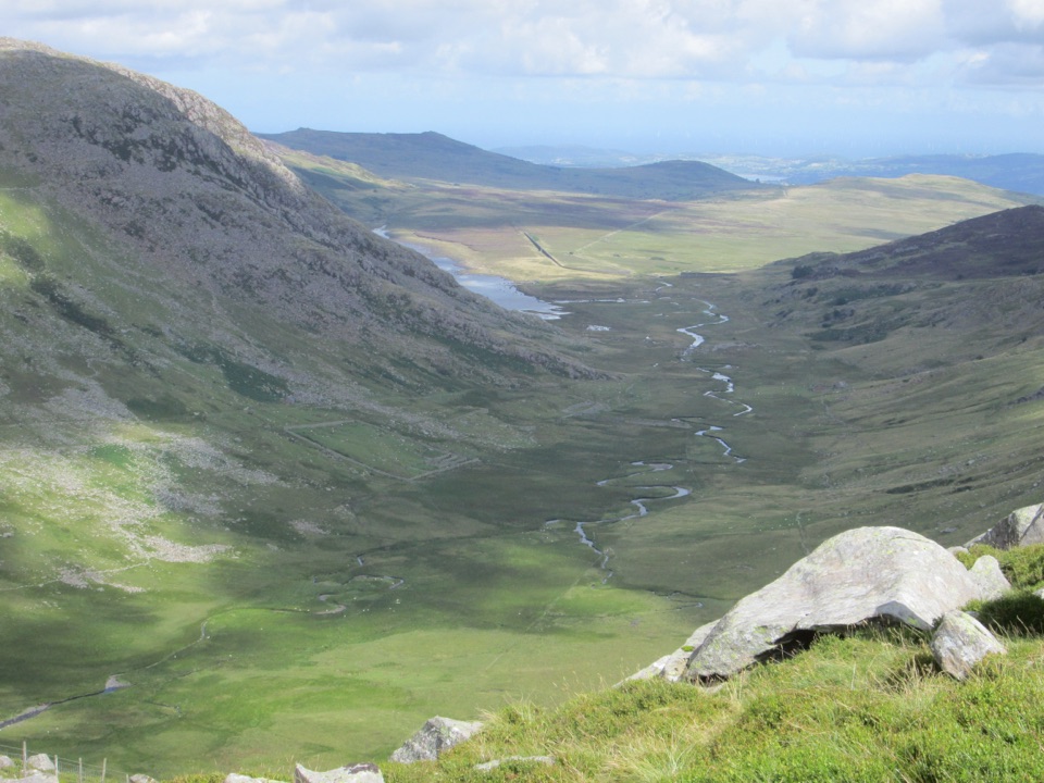 ChallengingCwm Eigiau Horseshoe17.1 km · 8 hr · 5.1 km awayThree big Carneddau summits, a short scramble and a wild reservoir return
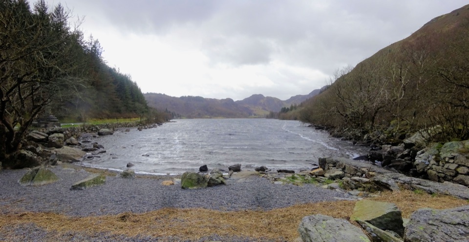 Sight · 1.1 km awayLlyn CrafnantA forest-ringed reservoir with easy lake walks and mountain reflections
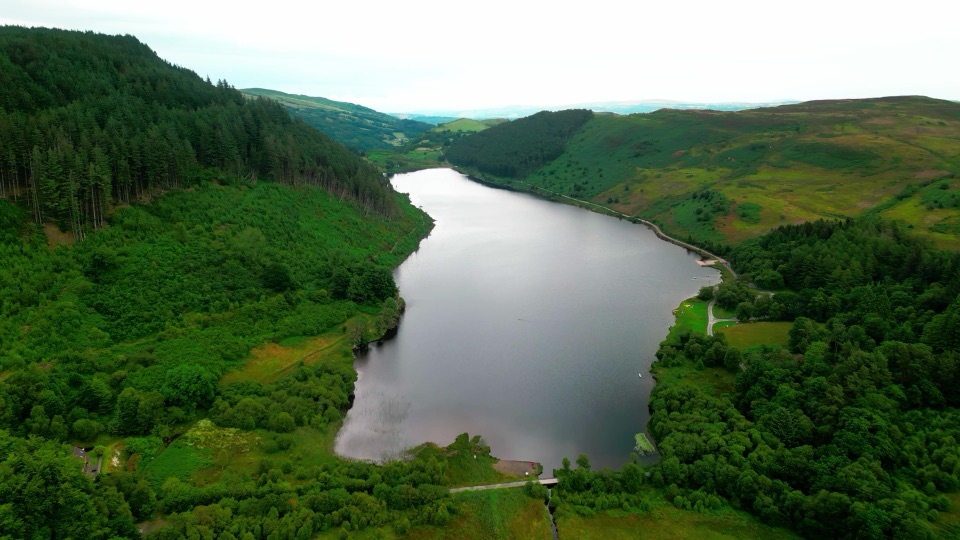 Sight · 1.5 km awayLlyn GeirionyddA forest-framed lake with a poet's monument and mountain views
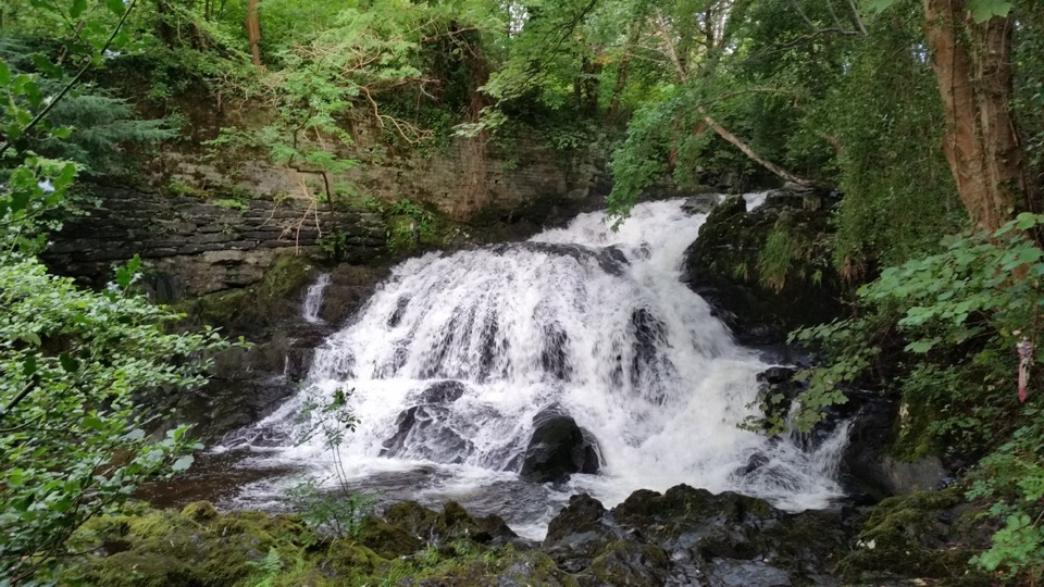 Sight · 2.5 km awayFairy Falls (Rhaeadr y Tylwyth Teg)Twenty-five feet of white water, ten minutes from the car park
 Sight · 2.7 km awayTrefriw Woollen MillsA living Welsh weaving mill where the looms still earn their keep
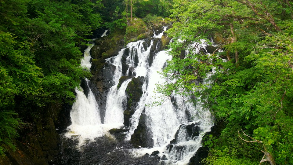 Sight · 4.1 km awaySwallow Falls (Rhaeadr Ewynnol)Foaming cascades plunge through a limestone gorge beside the A5
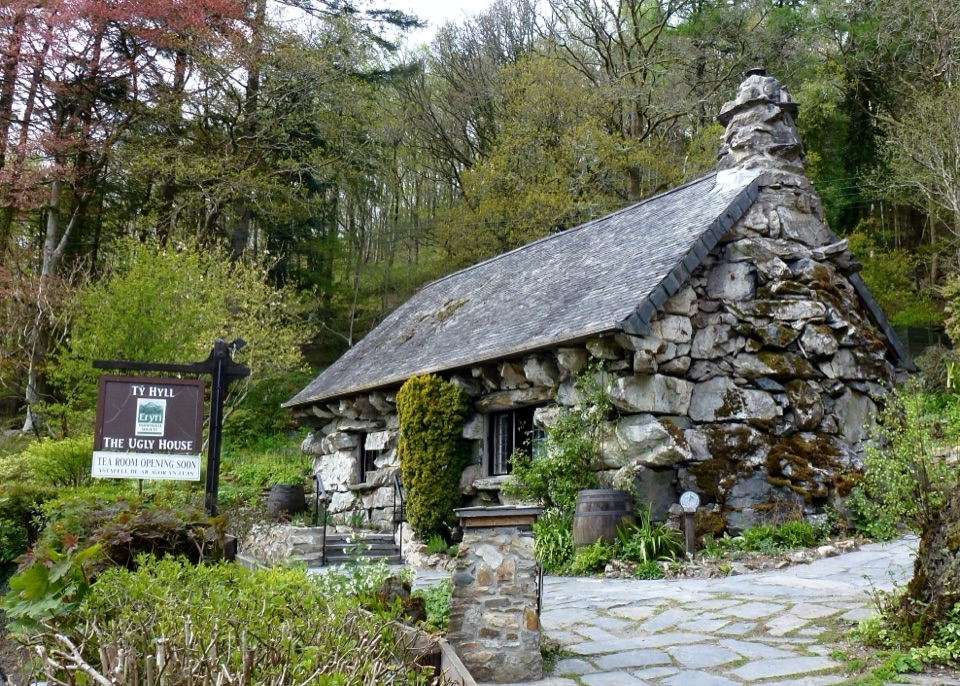 Sight · 4.2 km awayTŷ Hyll (The Ugly House)A storybook stone cottage with a surprisingly lovely pollinator garden
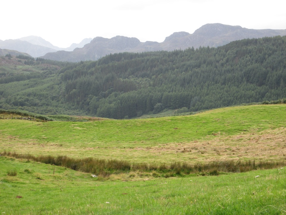 Sight · 6.2 km awayGwydir Forest ParkWoodland lakes, old mines, and big views around Betws-y-Coed
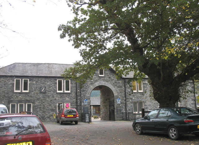 Visitor center · 6.4 km awayBetws-y-Coed Information CentreA practical base for maps, walks, and mountain-day know-how
Parkwolf’s Eryri ranking

The audio tour guide for the drive, plus offline maps, trails, and wildlife heatmaps for when the signal drops.




