Overview
About Y Garn (Glyderau)
Why stop
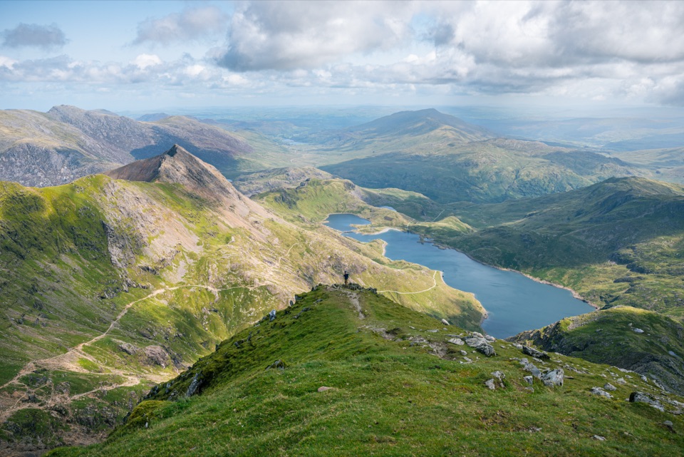
- Huge views across the Glyderau, Tryfan and Yr Wyddfa
Heads up
- Steep, rough ground and fast-changing mountain weather
Map
Where it is

The highest, rockiest slopes around here are a summer buffet for grizzly bears.
Eryri Tour Guide
Your drive to Y Garn (Glyderau), narrated.
Parkwolf is a GPS audio tour guide for Eryri National Park. As you drive, it chimes in with what’s ahead: hidden gems, upcoming stops, history, geology, and wildlife, right through your car’s speakers.
Recorded for this place
Cwm Idwal and Ogwen“You're approaching the Ogwen start for Cwm Idwal, where a path climbs into an ice-carved bowl around Llyn Idwal. The full three-mile lake circuit takes around three hours.”
Plays as you drive up to Y Garn (Glyderau) in the Parkwolf Eryri Tour Guide.
More stories near here in the app
- The Mountain That Stores Power
- Llyn Ogwen
- The Corner Above the Pass
- The Lily on the Cliffs
- 298 audio storiesacross Eryri’s roads, triggered by GPS as you drive
- Wildlife heatmapsfor Grey Heron, Tawny Owl, Common Raven, and 9 more
- Works offlinemaps, 120 trails, 82 places, and audio download before you lose signal
- CarPlay readysimple controls built for the drive
“Fantastic app with many points of information… It’s great to just turn on while you’re driving and it gives you an audio tour of the national Park. We love it!!!!”


Guide
More about Y Garn (Glyderau)
Why make the climb?Y Garn is a 947-metre mountain summit in the Glyderau and one of the Welsh 3,000-foot peaks.
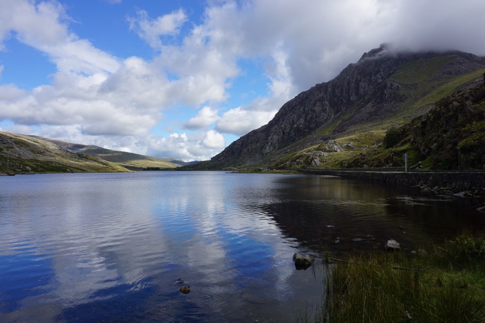
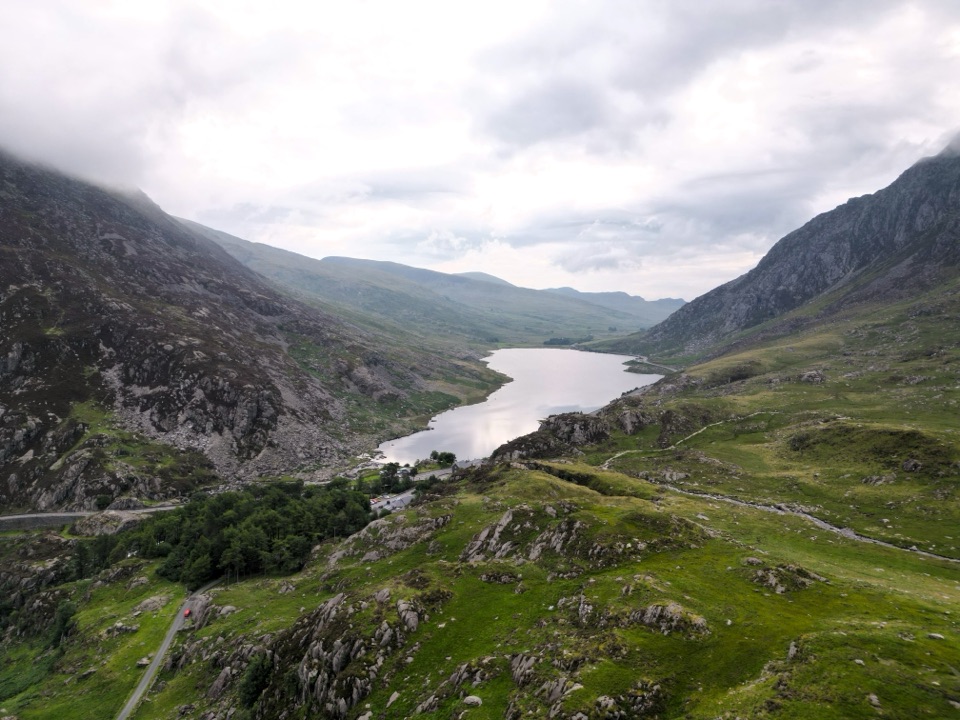
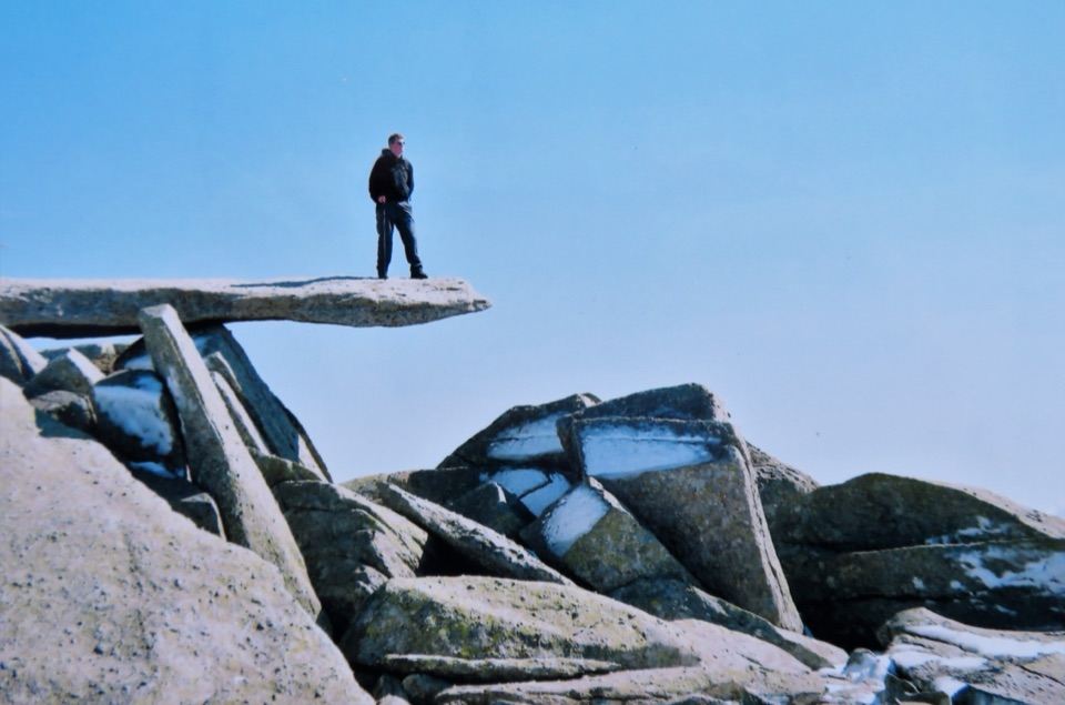
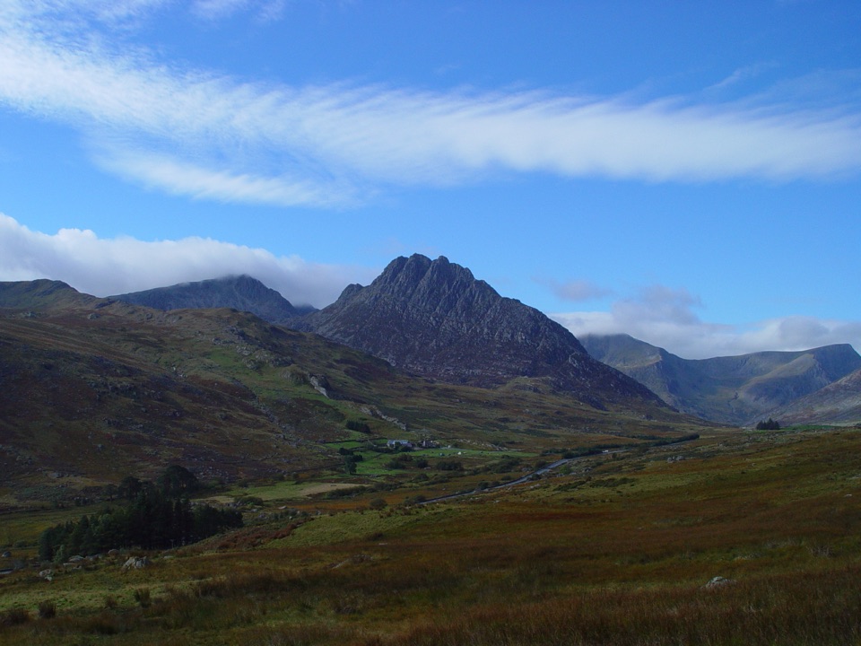
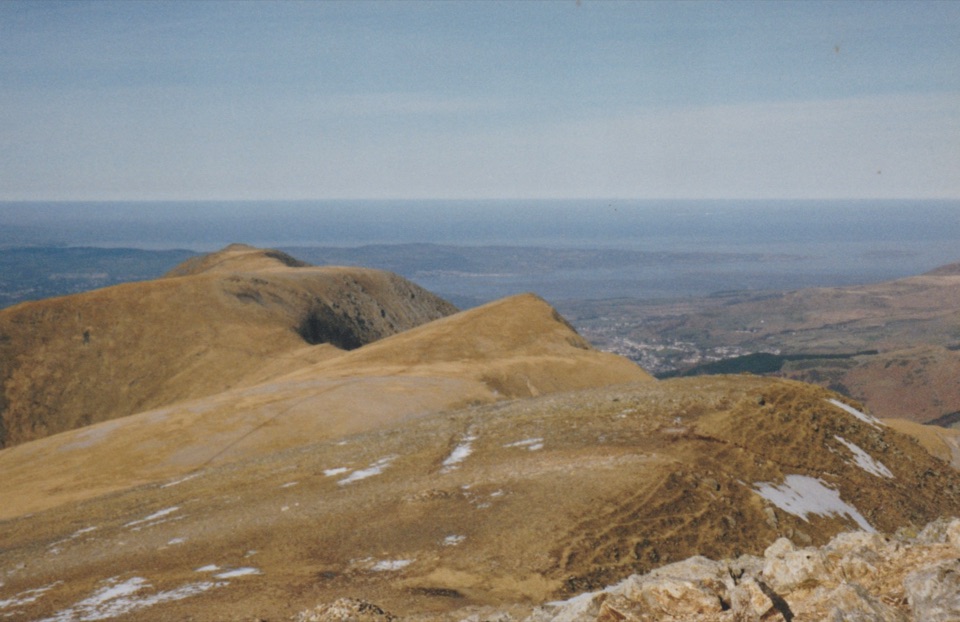
Y Garn is a 947-metre mountain summit in the Glyderau and one of the Welsh 3,000-foot peaks. Its reward is a proper high-level panorama: look across Cwm Idwal, Llyn Ogwen, Tryfan and the jagged Glyderau, with the Yr Wyddfa massif and, on exceptionally clear days, the coast and Llŷn Peninsula opening out beyond.
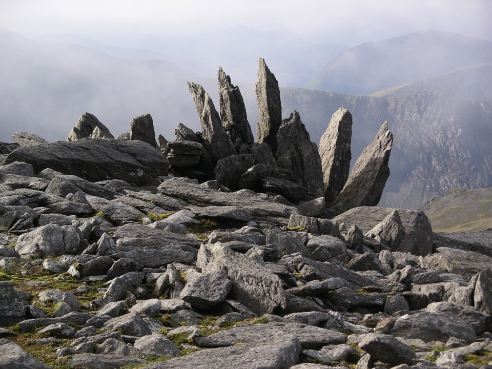
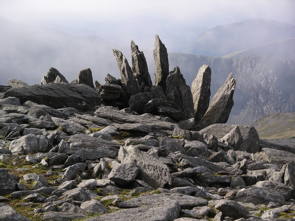
The summit is a rough, rocky cairn with a shelter rather than a developed viewpoint. That is part of the appeal. You get a satisfying mountain objective and big views without committing to a full Glyderau traverse, but it is still a serious hill day rather than a roadside attraction.
Route and effortThe classic Ogwen outing starts near the Ogwen Centre and Cwm Idwal Visitor Centre, heads past…
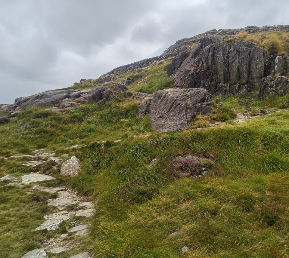
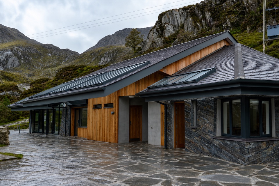
The classic Ogwen outing starts near the Ogwen Centre and Cwm Idwal Visitor Centre, heads past Llyn Idwal and climbs the northeast ridge. A typical loop to the summit is roughly 7-8 km with 600-700 m of ascent, taking about 3½-5 hours depending on the route, weather and pace. The climb is steep in places, with rough rock steps and loose scree near the high ground.
Many walkers return by Llyn y Cwn and Twll Du, better known as Devil’s Kitchen. The descent through the boulder field can be awkward and hard on the knees; hands may be useful in places. In clear weather the paths are generally easy to recognise, but cloud can arrive quickly around the summit, so do not treat a well-used path as a substitute for navigation.
Landscape and wildlifeThe route sits within the dramatic Cwm Idwal landscape, shaped by ancient geological forces and…
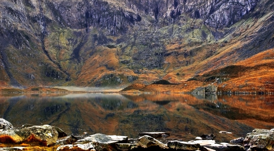
The route sits within the dramatic Cwm Idwal landscape, shaped by ancient geological forces and later glaciation. Look for the lake, moraine banks, scree and steep cirque walls, then watch the vegetation change as you gain height. In spring, wheatears and ring ouzels may be seen around the reserve; purple saxifrage and other rare upland plants are another reason to stay on the path and avoid trampling the fragile ground.
Plan the dayBring: map and compass, waterproof and warm layers, sturdy hiking boots, food, and plenty to…
- Bring: map and compass, waterproof and warm layers, sturdy hiking boots, food, and plenty to drink. Mountain weather can change within minutes.
- Start early or choose a weekday for a calmer walk and a better chance of finding space at Ogwen. Parking is limited and fills quickly on fine weekends and during the busier spring and summer period; the area also has a bus connection from Bethesda.
- The Ogwen start area has toilets and a place to buy drinks or snacks, but there are no services on Y Garn itself. Keep dogs close and on a lead around livestock and wildlife, stay out of Llyn Idwal, and do not camp in the nature reserve.
- Winter snow and ice can turn the same route into a mountaineering outing. If the forecast or visibility is poor, stay lower or turn back.
Wildlife
Wildlife in Eryri
 77 sightingsGrey HeronMost seen around 7 AMSighting map
 17 sightingsTawny OwlMost seen around 6 AMSighting map
 32 sightingsCommon RavenMost seen around 8 AMSighting map
 21 sightingsGreat Spotted WoodpeckerMost seen around 7 AMSighting map
 18 sightingsEuropean RabbitMost seen around 7 AMSighting map
 161 sightingsViviparous LizardMost seen around 10 AMSighting map
Sighting maps show where each species has been reported across Eryri. Wildlife moves, so no sighting is guaranteed.