Crafnant View Walk in Eryri National Park

Eryri National Park, WA

Crafnant View Walk

Short strenuous lakeside loop to a panoramic Crafnant Valley viewpoint

Photo: Wikimedia Commons
Length
4.7km
Time
2hr
Elev. change
156m
Difficulty
Challenging
  • Loop
  • Dogs allowed
  • High point 320 m

Hear the audio tour

Llyn Crafnant

Overview

About Crafnant View Walk

Why go

  • Panoramic views over Crafnant Valley
  • Quiet lake and conifer setting
  • Waymarked route with benches

Heads up

  • Strenuous climb on narrow, uneven ground
  • Two small fords and wet footing after rain
  • Parking approach uses a narrow road

Map & elevation

The route

Loading the Eryri map
Full map
Elevation164–320 m
TrailheadLlyn Crafnant car park53.13923, -3.86043
Keep this map with you offline in the Parkwolf app

Plan your hike

Before you go

Parking

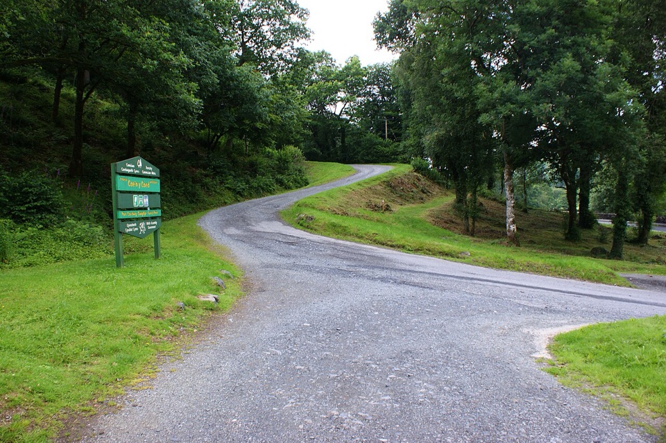
Use the Llyn Crafnant car park, about 4 miles west of Llanrwst. From Trefriw, turn onto the minor road opposite the pub and follow it for about 2 miles to the parking area before the lake. The grid reference is SH 756 618; LL27 0JZ covers a wide area.


Safety

This is an officially strenuous route. Expect a steep footpath under 80 cm wide, unmade uneven ground, mud, rocks and tree roots, plus two small fords. Waymarking includes a kissing gate and a barrier gap. Conditions can make the narrow sections and crossings slower.

A park ranger sits on a dash-mounted phone, talking, as Parkwolf’s Tour Guide plays “Army Cutworm Moths: A Grizzly Bear Buffet” on Grand Loop Road below Dunraven Pass in Yellowstone
Parkwolf Tour GuideThe highest, rockiest slopes around here are a summer buffet for grizzly bears.

Eryri Tour Guide

Your drive to Crafnant View Walk, narrated.

Parkwolf is a GPS audio tour guide for Eryri National Park. As you drive, it chimes in with what’s ahead: hidden gems, upcoming stops, history, geology, and wildlife, right through your car’s speakers.

Recorded for this trailhead

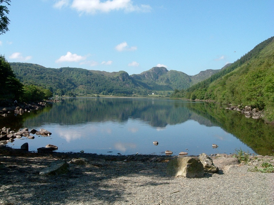
Llyn Crafnant
0:00 / 0:33
“You're coming up on Llyn Crafnant, a reservoir in a wooded valley below the Carneddau. It was built to supply Llanrwst; a stone monument near the outflow marks that connection.”

Plays as you drive up to this trailhead in the Parkwolf Eryri Tour Guide.

More stories near here in the app

  • Trefriw’s Iron Water
  • The Blanket with Two Faces
  • Taliesin by the Lake
  • The Church That Saved a Climb
  • 298 audio storiesacross Eryri’s roads, triggered by GPS as you drive
  • Wildlife heatmapsfor Grey Heron, Tawny Owl, Common Raven, and 9 more
  • Works offlinemaps, 120 trails, 82 places, and audio download before you lose signal
  • CarPlay readysimple controls built for the drive
★★★★★
“Fantastic app with many points of information… It’s great to just turn on while you’re driving and it gives you an audio tour of the national Park. We love it!!!!”
JMJamesApp Store review
Download Parkwolf on the App StoreGet Parkwolf on Google Play

4.7 from 8,600+ ratings

Trail guide

Hiking Crafnant View Walk

Route overviewThis is a waymarked loop, and the 2.9 miles quoted here is the complete circuit (4.

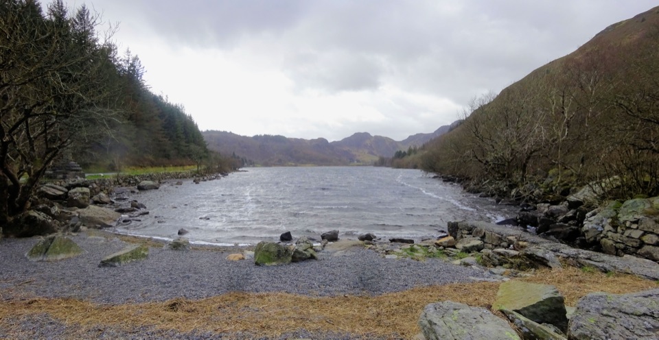
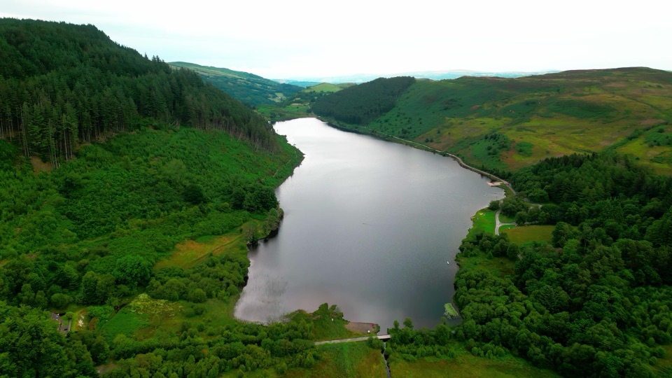
This is a waymarked loop, and the 2.9 miles quoted here is the complete circuit (4.8 km on the official signage). It starts at the Llyn Crafnant car park, follows the lake shore, climbs to a viewpoint on the shoulder of Mynydd Deulyn, then returns on forestry tracks. Allow 1.5 to 2.5 hours.

Lake, forest and the viewpointThe opening stretch runs beside Llyn Crafnant with forest on either side, then the path gains…

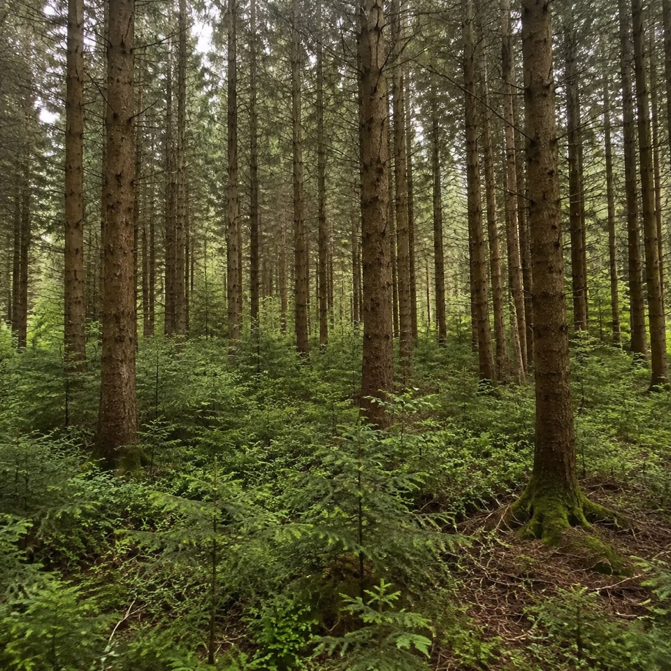
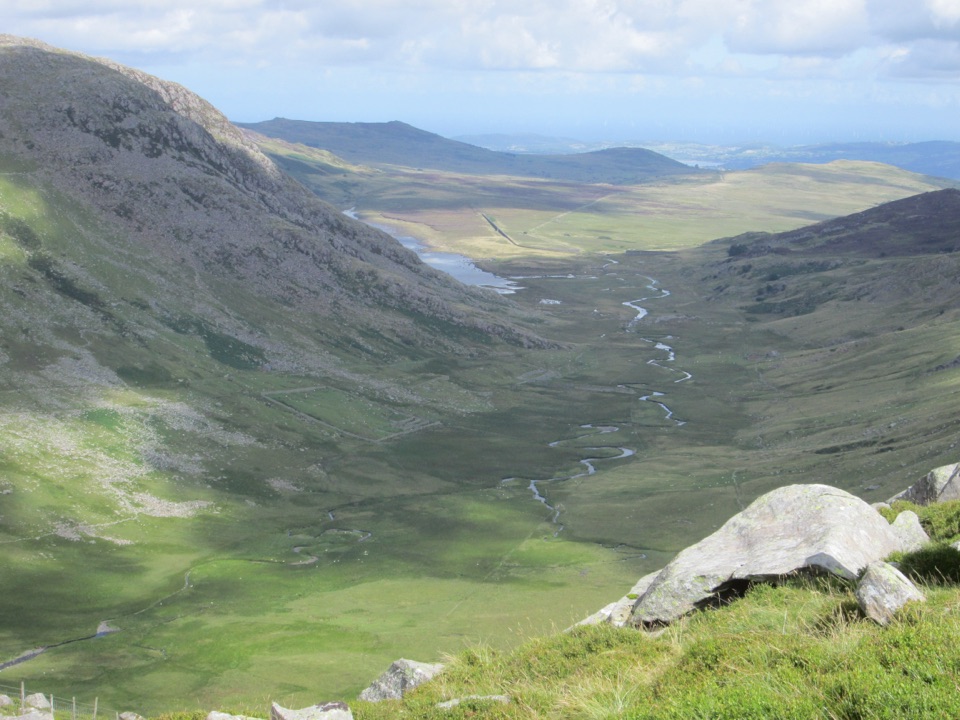
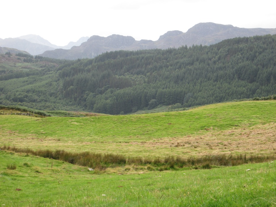
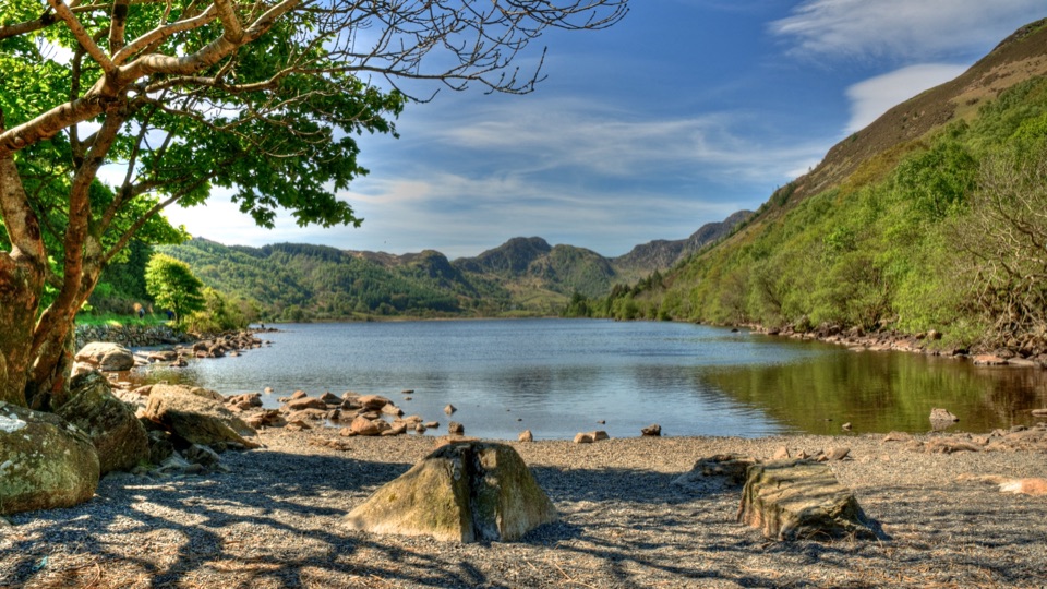
The opening stretch runs beside Llyn Crafnant with forest on either side, then the path gains height to a viewpoint that opens out over the Crafnant Valley. Benches and resting posts are spaced along the way if you want to break the climb or sit with the view.

Grade and climbThe route carries an official strenuous grade, with about 217 m of ascent.

The route carries an official strenuous grade, with about 217 m of ascent. From a start near 164 m the route reaches roughly 320 m on the shoulder, with some intermediate dips along the way, before descending to the lake.

Terrain and wayfindingSurfaces change often: forest roads and a section of tarmac road, plus a steep narrow footpath…

Surfaces change often: forest roads and a section of tarmac road, plus a steep narrow footpath under 80 cm wide with unmade, uneven ground, mud, rocks and tree roots. Waymarking guides the loop, and you pass through a kissing gate and a barrier gap. Two small fords cross the route, so expect wet feet or careful stepping after rain.

Access and parkingThe car park sits about 4 miles west of Llanrwst: take the B5106 to Trefriw, then the minor…

The car park sits about 4 miles west of Llanrwst: take the B5106 to Trefriw, then the minor road opposite the pub for 2 miles, reaching the parking area before the lake. Grid reference SH 756 618. The LL27 0JZ postcode covers a wide area, so use the grid reference or road directions rather than relying on satnav alone.

FacilitiesParking is free and includes Blue Badge spaces, with accessible toilets and a privately owned…

Parking is free and includes Blue Badge spaces, with accessible toilets and a privately owned cafe on site. Four picnic benches sit on the separate Afon Crafnant Amble rather than on this loop.

DogsDogs may be walked on public footpaths and open access land in Eryri.

Dogs may be walked on public footpaths and open access land in Eryri. Keep your dog under close control, and on a lead near livestock.

Wildlife

Wildlife in Eryri

All Eryri wildlife maps

Sighting maps show where each species has been reported across Eryri. Wildlife moves, so no sighting is guaranteed.

Keep exploring

Near Crafnant View Walk

See it all on the map

Trails that start nearby

Places near the trailhead

Parkwolf’s Eryri ranking

Top-rated trails in Eryri

All 120 trails
  1. 1Yr Wyddfa Pyg Track and Miners’ Track LoopChallenging · 12.1 km
  2. 2Llanberis PathChallenging · 14.5 km
  3. 3Pyg TrackChallenging · 11 km
  4. 4Miners’ TrackChallenging · 12.9 km
  5. 5Cwm Idwal WalkModerate · 4.8 km
  6. 6Watkin PathChallenging · 12.9 km

Take Parkwolf to Eryri.

The audio tour guide for the drive, plus offline maps, trails, and wildlife heatmaps for when the signal drops.

4.7 from 8,600+ ratings

Download Parkwolf on the App StoreGet Parkwolf on Google Play