Overview
About Llyn Ogwen
Why stop
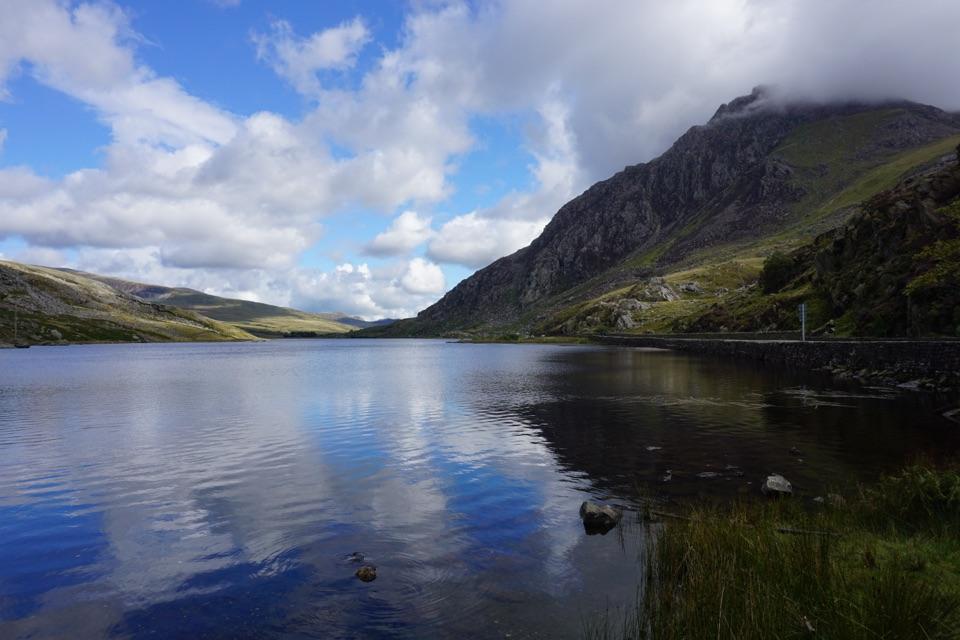
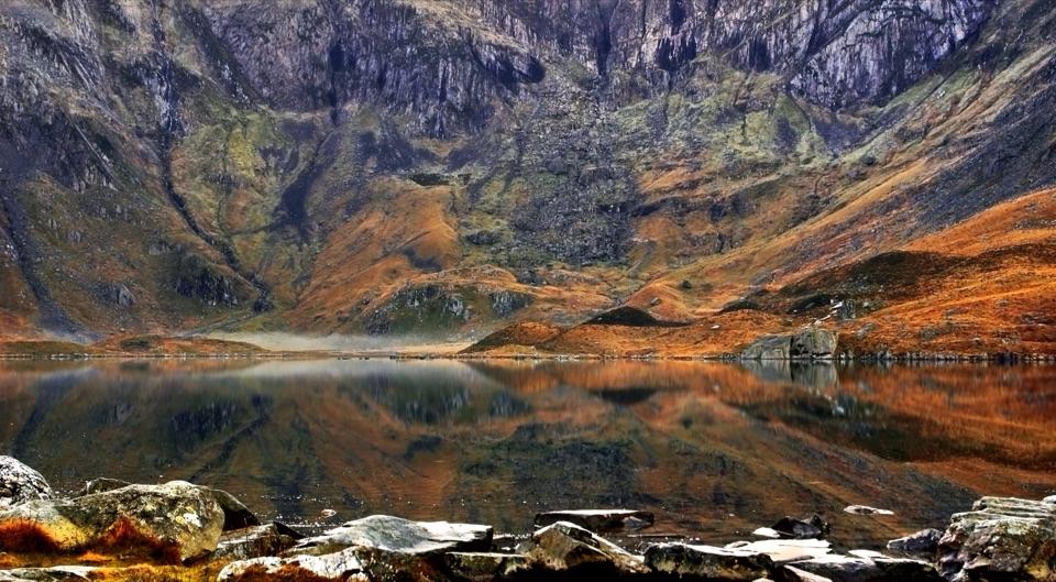
- Big-mountain reflections from the valley floor
Heads up
- The shoreline loop gets wet, muddy, and scrambly
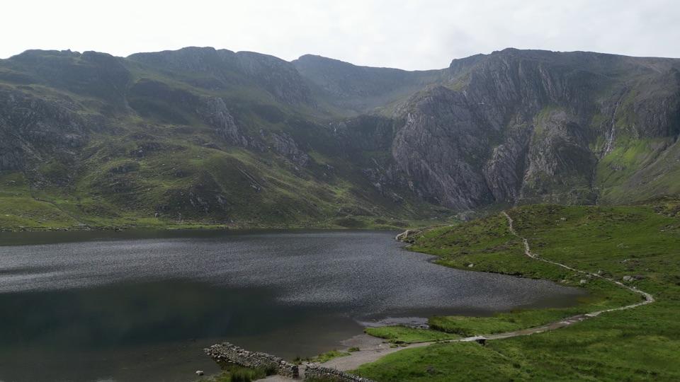
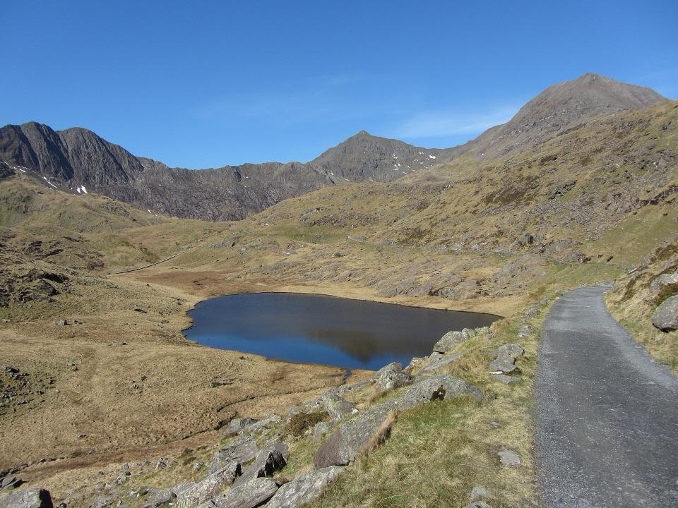
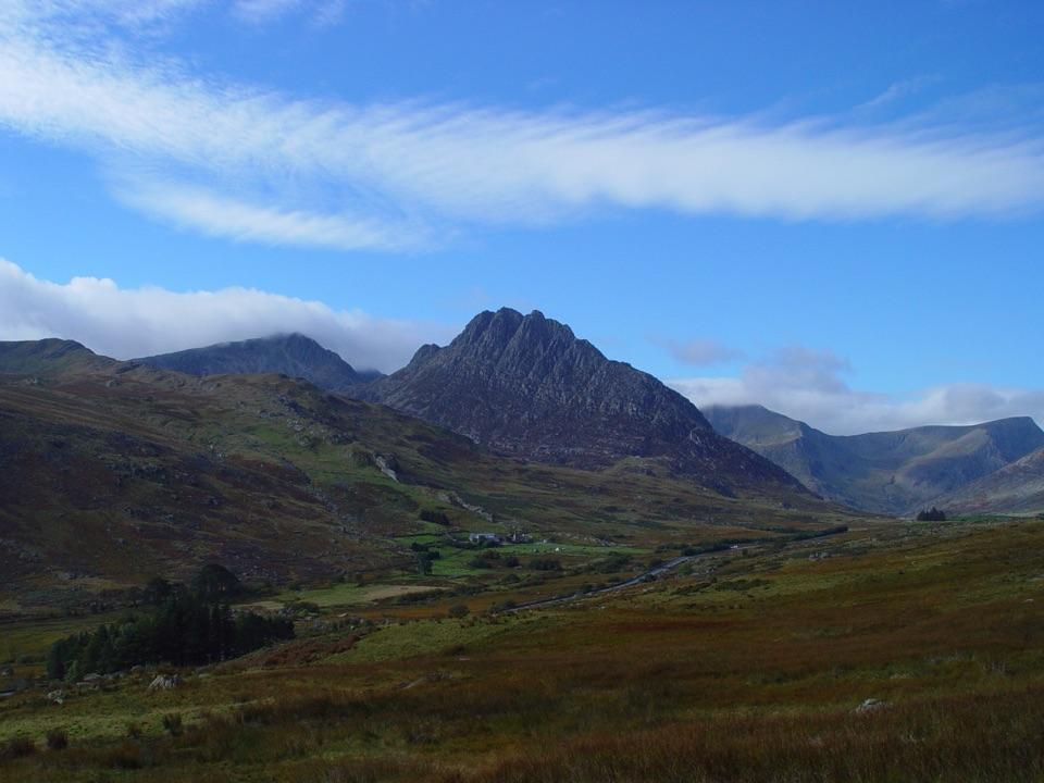
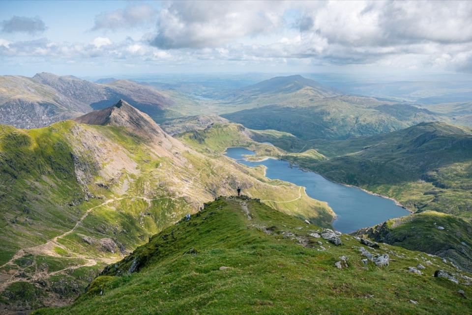
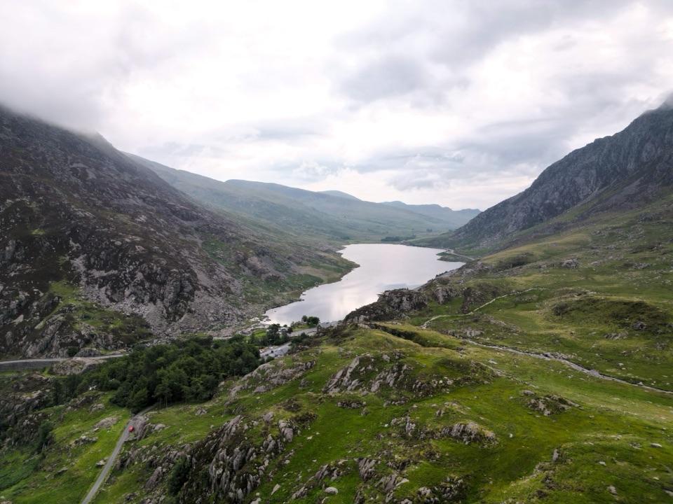
This is the shallow ribbon lake at the heart of the Ogwen valley, sitting at roughly 1,000 feet between two big mountain ranges: the Carneddau rising to the north and the Glyderau wall to the south. The A5 runs along one shore, so you can be looking at serious mountain scenery within a minute of leaving the car. Local folklore names it as a supposed resting place of King Arthur's sword, a legend rather than history, but it colours the mood of the place on a grey, still morning.
 Parkwolf’s verdictWhy stop here
Map
Where it is

The highest, rockiest slopes around here are a summer buffet for grizzly bears.
Eryri Tour Guide
Your drive to Llyn Ogwen, narrated.
Parkwolf is a GPS audio tour guide for Eryri National Park. As you drive, it chimes in with what’s ahead: hidden gems, upcoming stops, history, geology, and wildlife, right through your car’s speakers.
See the Eryri audio tourRecorded for this place
Llyn Ogwen“You're nearing Llyn Ogwen, the shallow lake between the Carneddau and the Glyderau. This is the Ogwen stop I'd choose if you want the mountain setting without a climb.”
Plays as you drive up to Llyn Ogwen in the Parkwolf Eryri Tour Guide.
More stories near here in the app
- Tryfan Above Llyn Ogwen
- Cwm Idwal and Ogwen
- The Lily on the Cliffs
- The Road Beneath the Road
- 298 audio storiesacross Eryri’s roads, triggered by GPS as you drive
- Wildlife heatmapsfor Grey Heron, European Badger, Tawny Owl, and 10 more
- Works offlinemaps, 122 trails, 84 places, and audio download before you lose signal
- CarPlay readysimple controls built for the drive
“Fantastic app with many points of information… It’s great to just turn on while you’re driving and it gives you an audio tour of the national Park. We love it!!!!”


Guide
More about Llyn Ogwen
How it differs from Cwm Idwal and the peaksCwm Idwal, just up the slope, is the classic hanging valley visited for its geology and its…
Cwm Idwal, just up the slope, is the classic hanging valley visited for its geology and its enclosed rock amphitheatre, and it asks for a climb. The high routes onto Tryfan and the Glyderau are a full mountain day. Llyn Ogwen is the valley floor viewpoint: long open water, reflections, and a broad sense of the whole glacial trench in one look. If you have an hour rather than a day, this is the version of Ogwen that fits.
What you see and doViews up and across to the ridges and buttresses that frame the valley, with the lake giving…
- Views up and across to the ridges and buttresses that frame the valley, with the lake giving reflections when the air is calm.
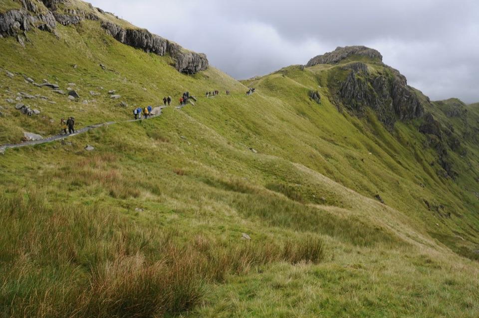
- The circular lakeshore walk, about 2.9 miles (4.64 km), usually 1 to 2 hours.
- Photography from the roadside pull-ins and from the quieter far shore.
- The lake has a long association with trout fishing; check what permission is required before you plan on it.
Practical access and walk conditionsAccess is by the A5.
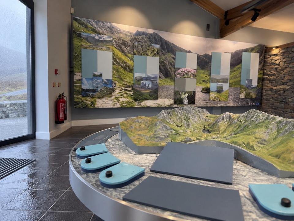
Access is by the A5. There is a small National Park Authority car park at the Ogwen Centre, and parking in the valley is limited and fills quickly in good weather and holidays. Parts of the A5 have double yellow lines where parking is not allowed, so do not count on a roadside space. Arrive early or use public transport if spaces are gone. Nearby valley facilities include the Cwm Idwal Centre with an interactive exhibition, public toilets and showers, and an Ogwen snack bar for drinks and snacks. These are shared valley facilities near the lake, not services on the shoreline itself.
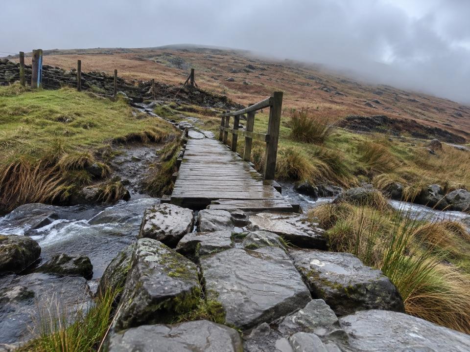
Treat the loop as moderate and uneven rather than a flat stroll. Walkers regularly report wet and muddy ground, stiles, rocks, and short scrambly sections, which is why the two-hour end of the range is common. Wear boots and expect to pick your line.
A photograph from the shoreFrame the length of the lake with the ridges behind it to show how the valley fits together.
Frame the length of the lake with the ridges behind it to show how the valley fits together. On a still day the water can reflect the mountains, but wind and low cloud can quickly change the view.
The A5 brings road noise to the near shore, and the rough loop is a poor choice if you need an easy surfaced path.
Wildlife
Wildlife in Eryri
 80 sightingsGrey HeronMost seen around 7 AMSighting map
 10 sightingsEuropean BadgerMost seen around 8 PMSighting map
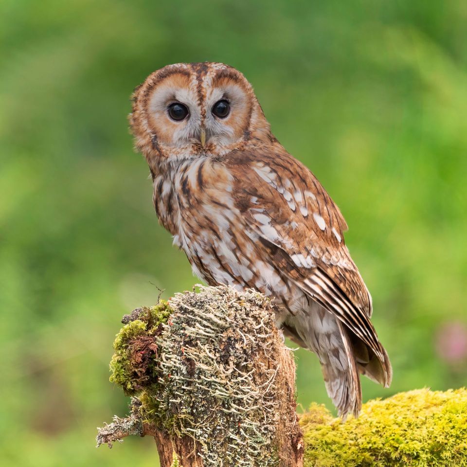 17 sightingsTawny OwlMost seen around 6 AMSighting map
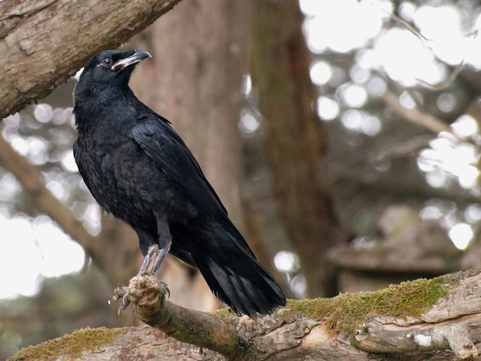 36 sightingsCommon RavenMost seen around 8 AMSighting map
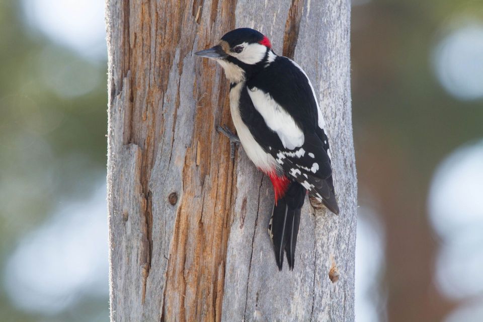 21 sightingsGreat Spotted WoodpeckerMost seen around 7 AMSighting map
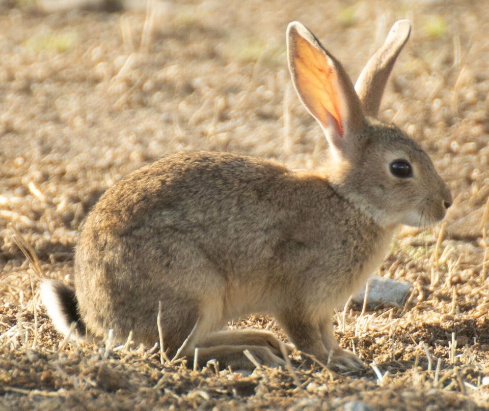 18 sightingsEuropean RabbitMost seen around 7 AMSighting map
Sighting maps show where each species has been reported across Eryri. Wildlife moves, so no sighting is guaranteed.