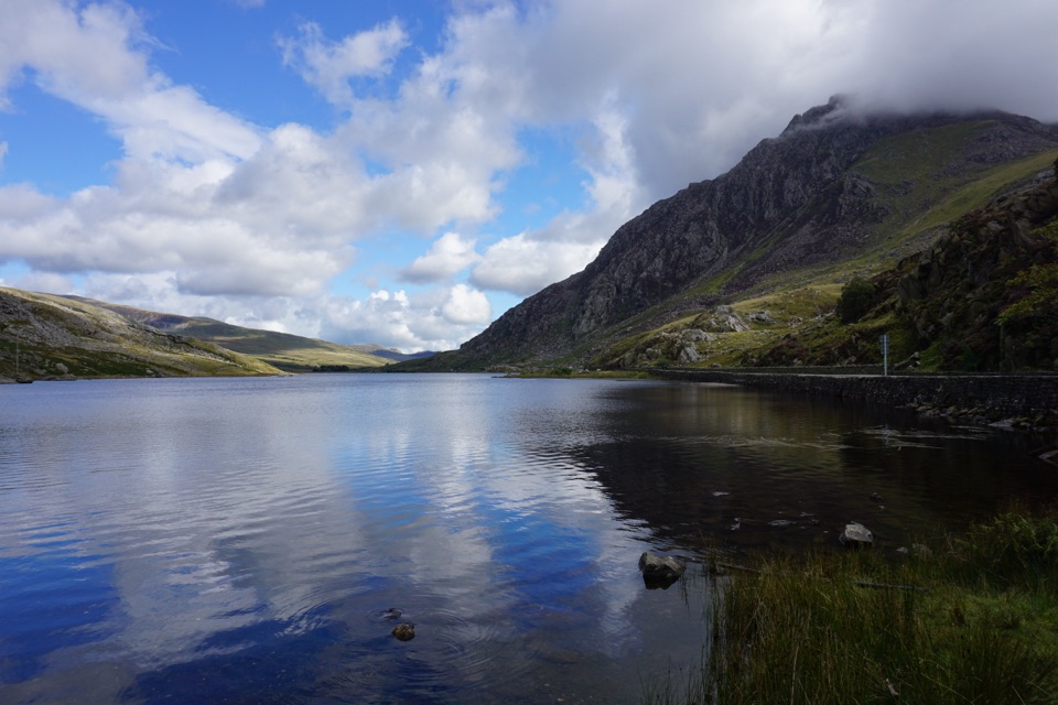
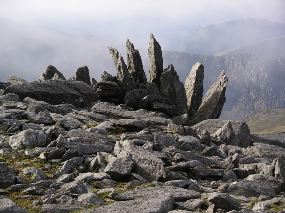
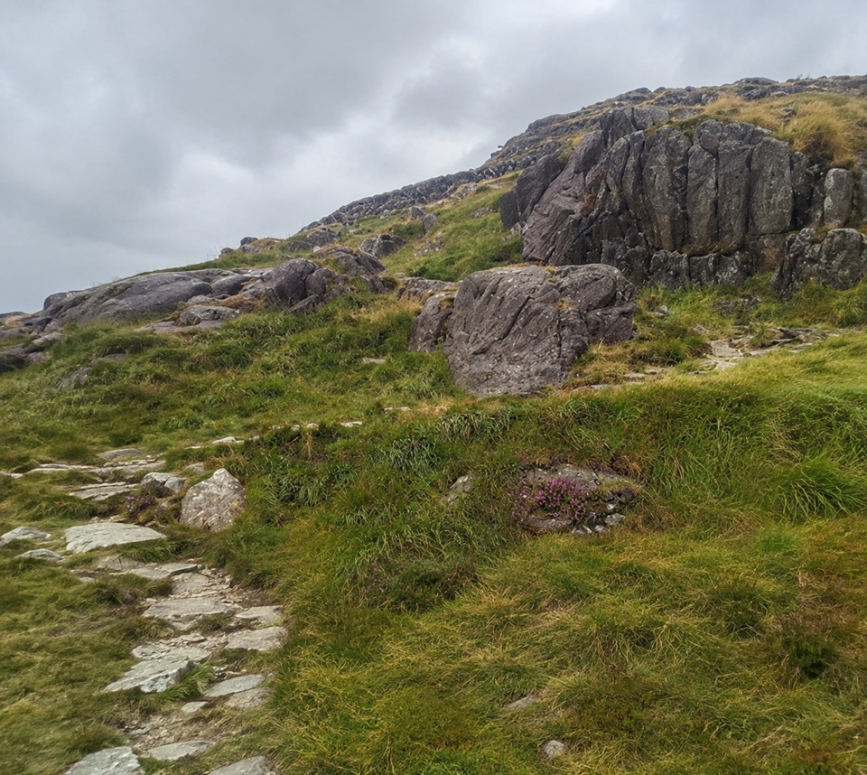
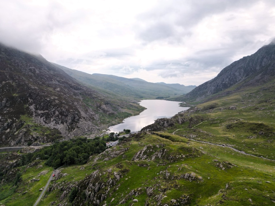
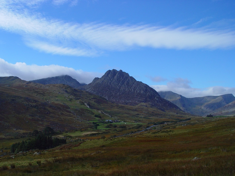
High Carneddau from Llyn Ogwen in Eryri National Park

Eryri National Park, WA

High Carneddau from Llyn Ogwen

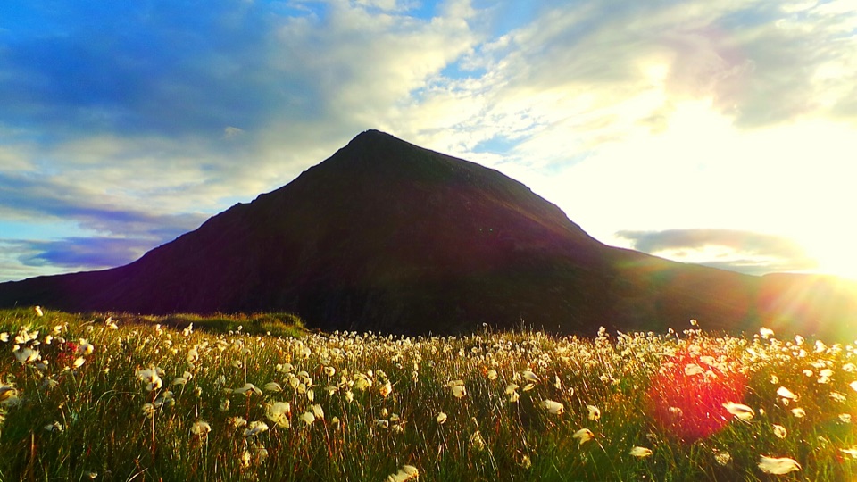
Three Carneddau summits, one long rocky ridge, straight up from the A5

Photo: Wikimedia Commons
Length
15km
Time
6.5hr
Elev. change
721m
Difficulty
Challenging
  • Loop
  • Dogs allowed
  • High point 1,020 m
  • #24 of 120 in Eryri

Hear the audio tour

Llyn Ogwen

Overview

About High Carneddau from Llyn Ogwen

Why go

  • Three high Carneddau summits in one demanding loop
  • Long open ridge views across Eryri

Heads up

  • Long commitment once on the ridge
  • Limited parking at the A5 access

Map & elevation

The route

Loading the Eryri map
Full map
Elevation299–1,020 m
TrailheadLlyn Ogwen A5 roadside access53.12478, -3.99509
Keep this map with you offline in the Parkwolf app

Plan your hike

Before you go

Parking

Use the roadside access and legally permitted spaces on the A5 near Llyn Ogwen. Do not park on double yellow lines, block the road or use unsuitable verges. Parking is limited, so arrive early or use bus services from Bethesda when spaces are full.

Best time to go

Summer gives the longest daylight and the best odds of the big views, and the heather adds colour to the lower slopes late in the season. Shoulder seasons and winter bring shorter days, colder ridge conditions and a harder, more serious outing on the steep rocky descent. Cloud sitting on the tops is common at any time of year, and it changes this from a scenic ridge walk into a navigation exercise.

Safety

Steep rocky mountain ground and exposed high ridge; difficult navigation in cloud; fast-changing mountain weather; wet or boggy sections; and a steep rocky descent from Pen yr Ole Wen. Keep dogs and children close near unprotected edges, livestock and wildlife.

A park ranger sits on a dash-mounted phone, talking, as Parkwolf’s Tour Guide plays “Army Cutworm Moths: A Grizzly Bear Buffet” on Grand Loop Road below Dunraven Pass in Yellowstone
Parkwolf Tour GuideThe highest, rockiest slopes around here are a summer buffet for grizzly bears.

Eryri Tour Guide

Your drive to High Carneddau from Llyn Ogwen, narrated.

Parkwolf is a GPS audio tour guide for Eryri National Park. As you drive, it chimes in with what’s ahead: hidden gems, upcoming stops, history, geology, and wildlife, right through your car’s speakers.

Recorded for this trailhead

Llyn Ogwen
0:00 / 0:32
“You're nearing Llyn Ogwen, the shallow lake between the Carneddau and the Glyderau. This is the Ogwen stop I'd choose if you want the mountain setting without a climb.”

Plays as you drive up to this trailhead in the Parkwolf Eryri Tour Guide.

More stories near here in the app

  • Tryfan Above Llyn Ogwen
  • Cwm Idwal and Ogwen
  • The Road Beneath the Road
  • The Lily on the Cliffs
  • 298 audio storiesacross Eryri’s roads, triggered by GPS as you drive
  • Wildlife heatmapsfor Grey Heron, Tawny Owl, Common Raven, and 9 more
  • Works offlinemaps, 120 trails, 82 places, and audio download before you lose signal
  • CarPlay readysimple controls built for the drive
★★★★★
“Fantastic app with many points of information… It’s great to just turn on while you’re driving and it gives you an audio tour of the national Park. We love it!!!!”
JMJamesApp Store review
Download Parkwolf on the App StoreGet Parkwolf on Google Play

4.7 from 8,600+ ratings

Trail guide

Hiking High Carneddau from Llyn Ogwen

The short versionA circular loop of about 15 km / 9.

A circular loop of about 15 km / 9.3 miles for the complete round, starting and finishing at the same roadside access on the A5 near Llyn Ogwen. Mapped geometry comes out at 14.95 km, and the whole thing closes back on itself at the start. Reckon on 6 to 7 hours at a steady hillwalking pace. The start sits at around 299 m, the high point on the ridge is 1,020 m, and independent route sources put total ascent at roughly 982 m, which is climbing spread across the day rather than one single pull.

How the loop runsFrom the A5 you pick up the Water Company Road heading in toward Ffynnon Llugwy, then leave it…

From the A5 you pick up the Water Company Road heading in toward Ffynnon Llugwy, then leave it for the mountain path climbing to the bwlch between Pen yr Helgi Du and Craig yr Ysfa. From there it is up to Carnedd Llewelyn, then a long high ridge walk to Carnedd Dafydd and on to Pen yr Ole Wen. The descent drops steeply toward Ffynnon Lloer and follows Afon Lloer back down to the road. The Yr Elen out and back spur is not part of this route.

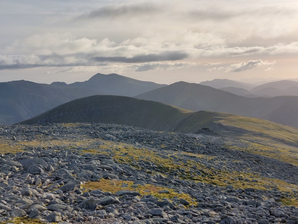
The payoff is the middle of the day: a long, open, rugged ridge linking three big summits, with very little of it feeling like filler.

How hard it isHard, and a genuine mountain day for experienced hillwalkers.

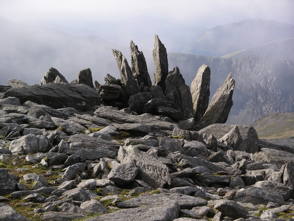
Hard, and a genuine mountain day for experienced hillwalkers. The ascent is sustained, the ground is rough and rocky for long stretches, and the ridge is high and exposed. The drop from Pen yr Ole Wen toward Ffynnon Lloer is steep and rocky and asks for care, especially with tired legs. If you want a straightforward stroll, this is not it.

Footing, exposure and navigationRocky and broken ground on the climbs, summits and descent, with wet and boggy patches lower…
  • Rocky and broken ground on the climbs, summits and descent, with wet and boggy patches lower down
  • Unprotected edges and real exposure in places along the high ridge
  • Route finding gets difficult in cloud or poor visibility, and the broad Carneddau tops give few obvious handrails
  • Mountain weather can change fast, so map, compass and the ability to use them matter here
Views and photographyOn a clear day the ridge opens up across to the Glyderau and Yr Wyddfa, with the Menai Strait…

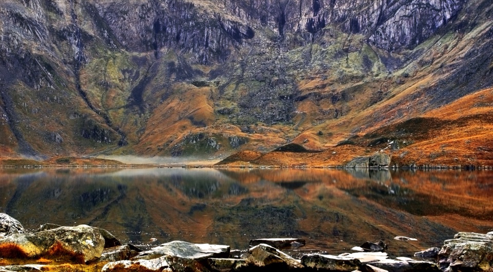
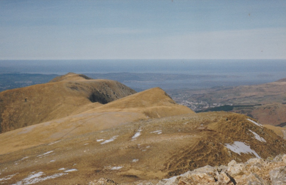
On a clear day the ridge opens up across to the Glyderau and Yr Wyddfa, with the Menai Strait and the Conwy Valley visible from the higher ground. Lower and middle sections carry heather and upland grass, while the summits are rocky and bare. Early morning and late afternoon light are kindest for the long ridge lines and for the cwms below, though building a full loop of this length around late light means planning your finish carefully.

Getting there, parking and dogsAccess is roadside on the A5 near Llyn Ogwen, with limited parking.

Access is roadside on the A5 near Llyn Ogwen, with limited parking. Double yellow sections cannot be used, Ogwen spaces fill quickly, and bus services from Bethesda are the usual fallback when there is no room. Arriving early helps.

Dogs are allowed on public footpaths and open access land in Eryri but must be under close control. On open access land a lead no longer than 2 m is required from 1 March to 31 July, and a short lead is sensible near livestock or wildlife. Practically speaking, this high, exposed, rocky day is a poor choice for many dogs and their owners.

Drawbacks and a shorter alternativeThe commitment is the main drawback: once you are on the ridge, cutting the day short is not…

The commitment is the main drawback: once you are on the ridge, cutting the day short is not simple, and the descent still has to be done. Parking pressure at Ogwen is a regular frustration. If you want Carneddau and Ogwen scenery without a full mountain day, Cwm Idwal or the Llyn Ogwen lakeshore walk are much shorter and more structured options.

Wildlife

Wildlife in Eryri

All Eryri wildlife maps

Sighting maps show where each species has been reported across Eryri. Wildlife moves, so no sighting is guaranteed.

Keep exploring

Near High Carneddau from Llyn Ogwen

See it all on the map

Trails that start nearby

Places near the trailhead

Parkwolf’s Eryri ranking

Top-rated trails in Eryri

All 120 trails
  1. 1Yr Wyddfa Pyg Track and Miners’ Track LoopChallenging · 12.1 km
  2. 2Llanberis PathChallenging · 14.5 km
  3. 3Pyg TrackChallenging · 11 km
  4. 4Miners’ TrackChallenging · 12.9 km
  5. 5Cwm Idwal WalkModerate · 4.8 km
  6. 6Watkin PathChallenging · 12.9 km

Take Parkwolf to Eryri.

The audio tour guide for the drive, plus offline maps, trails, and wildlife heatmaps for when the signal drops.

4.7 from 8,600+ ratings

Download Parkwolf on the App StoreGet Parkwolf on Google Play