Parking
Start at the public car park by Ogwen Cottage and Ranger Base, Nant Ffrancon. The route crosses the main road and returns along its pavement; the car park and toilets are not National Trust facilities.
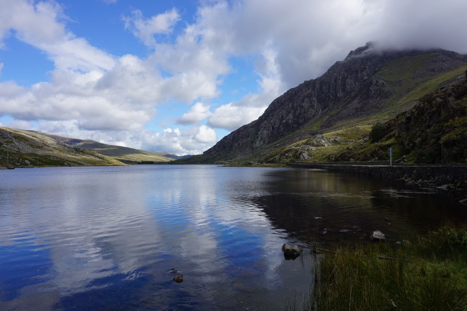
Eryri National Park, WA
Boulder-hopping lakeshore loop under Tryfan, back on the roadside pavement
Overview
A circular walk of 2.9 miles (about 4.7 km) around Llyn Ogwen, starting and finishing at Ogwen Cottage and the Ranger Base. Official difficulty is Moderate, and the official time of one to two hours is honest: allow about 1.5 hours if you are not rushing, and more if you stop to look at Tryfan and the Glyderau.
Map & elevation
Plan your hike

The highest, rockiest slopes around here are a summer buffet for grizzly bears.
Eryri Tour Guide
Parkwolf is a GPS audio tour guide for Eryri National Park. As you drive, it chimes in with what’s ahead: hidden gems, upcoming stops, history, geology, and wildlife, right through your car’s speakers.
Recorded for this trailhead
Llyn Ogwen“You're nearing Llyn Ogwen, the shallow lake between the Carneddau and the Glyderau. This is the Ogwen stop I'd choose if you want the mountain setting without a climb.”
Plays as you drive up to this trailhead in the Parkwolf Eryri Tour Guide.
More stories near here in the app
“Fantastic app with many points of information… It’s great to just turn on while you’re driving and it gives you an audio tour of the national Park. We love it!!!!”


Trail guide
From the start you cross the main road, cross the bridge and take the stile onto the lakeside route. Follow the river upstream and clamber over large boulders to reach the lake, then track the shore and waymarkers for about half a mile. A slight hill and another stile bring you onto an upper path that passes a farmhouse and footbridge before joining a farm track. That track takes you back to the main road, and you finish on the pavement beside the lake.
Graded moderate, and the grade comes from the ground rather than the climbing. The first section is the technical part, with large boulders to get over, and the path is easy to lose before it becomes clearer further along. Expect uneven ground and wet, boggy patches, which are more pronounced in winter. Boots with grip and ankle support make more sense here than trainers.
Waymarkers help along the shore, but you should still be prepared to pick your line over the boulders and to lose the path briefly early on. Carrying the route map and checking it at the stiles and the farmhouse section is worth the small effort.
Llyn Ogwen sits below Tryfan and the Glyderau, and the far shore gives you a different angle on both than the roadside does. Look under the modern road bridge for Hen Bont Pont Pen-y-benglog, the older drover's bridge, and watch for World War II pill boxes in the valley as you walk.
The last stretch is on the pavement alongside the main road, back above the lake shore. It is a straightforward way to close the loop, and it means the whole walk can be done without retracing your steps.
There is a public car park with toilets at the start, though these are not National Trust facilities. The T10 bus stops at Ogwen Cottage / Llyn Ogwen if you would rather not drive. Dogs are welcome but must be on a lead at all times.
Cwm Idwal, close by, is a separate loop of roughly three miles through glacial terrain with more dramatic mountain scenery. It is its own walk, not an extension of this one, so treat it as a second outing rather than an add-on.
Wildlife
 77 sightingsGrey HeronMost seen around 7 AMSighting map
 17 sightingsTawny OwlMost seen around 6 AMSighting map
 32 sightingsCommon RavenMost seen around 8 AMSighting map
 21 sightingsGreat Spotted WoodpeckerMost seen around 7 AMSighting map
 18 sightingsEuropean RabbitMost seen around 7 AMSighting map
 161 sightingsViviparous LizardMost seen around 10 AMSighting map
Sighting maps show where each species has been reported across Eryri. Wildlife moves, so no sighting is guaranteed.
Keep exploring
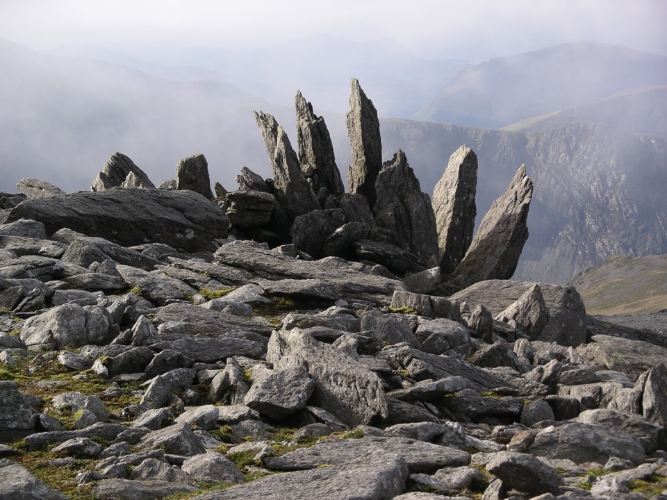 ChallengingGlyder Fawr and Y Garn via Devil’s Kitchen8.9 km · 5 hr · At the trailheadGlacial lake, dark cliffs, two 900m summits on one hard rocky loop
 ModerateCwm Idwal Walk4.8 km · 3 hr · At the trailheadGlacier-carved bowl, stone lakeside path and the Devil's Kitchen headwall
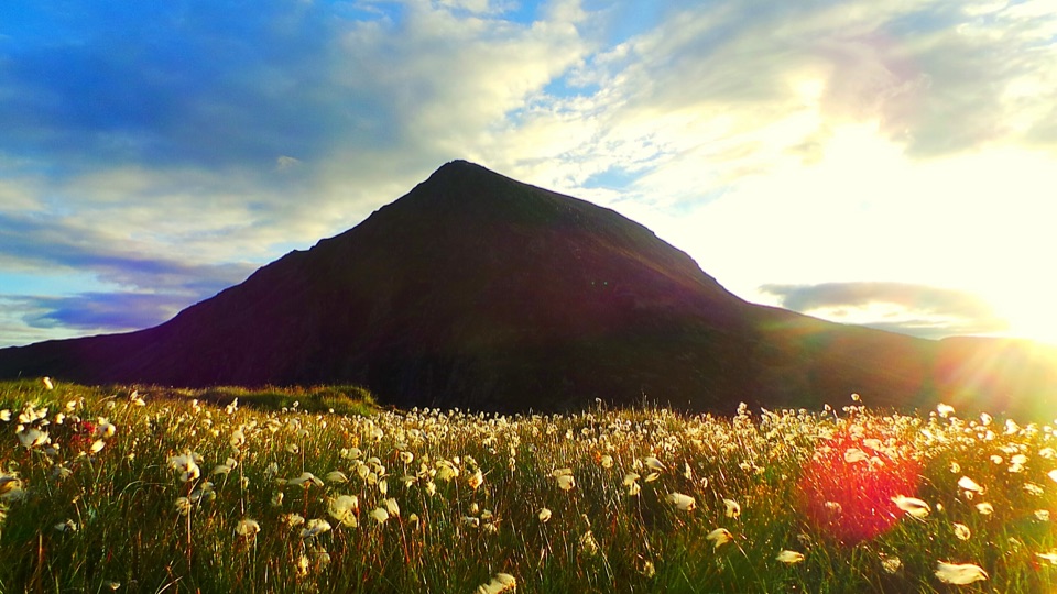 ChallengingHigh Carneddau from Llyn Ogwen15 km · 6.5 hr · 1.7 km awayThree Carneddau summits, one long rocky ridge, straight up from the A5
 ChallengingYr Wyddfa Pyg Track and Miners’ Track Loop12.1 km · 6 hr · 4.8 km awayRocky climb to Wales's highest summit, down past lakes and mine ruinsChallengingPyg Track11 km · 6 hr · 4.8 km awayRugged rocky climb from Pen-y-Pass to Yr Wyddfa's summit and back
 ChallengingMiners’ Track12.9 km · 6 hr · 4.8 km awayGentle lakeside start, then a steep scree haul up to Yr Wyddfa
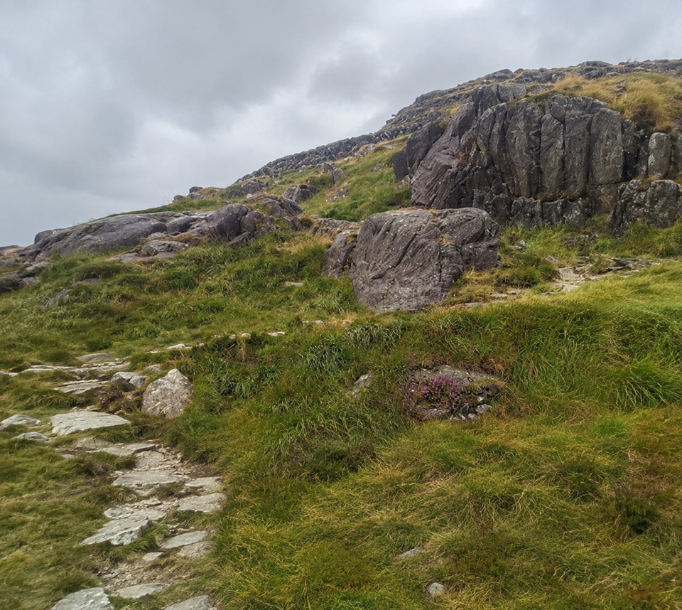 ChallengingPen y Gwryd to Pen y Pass2 km · 1 hr · 4.9 km awayA short, rough hill link that keeps you off the A4086 tarmac
 ChallengingLlanberis Path14.5 km · 7 hr · 6.9 km awayNine miles of steady, unrelenting ascent to the highest summit in Wales
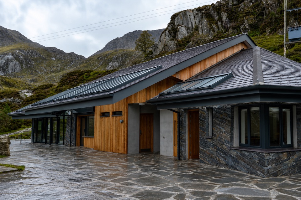 Visitor center · At the trailheadCwm Idwal CentreCoffee, showers and a doorway into a glacier-carved cwm
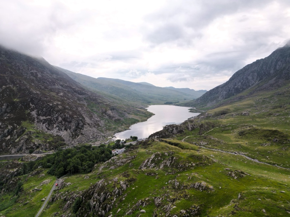 Sight · 0.9 km awayLlyn OgwenShallow ribbon lake mirroring the Glyderau, with Arthurian sword folklore
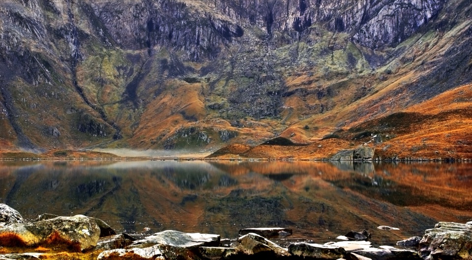 Sight · 1.2 km awayCwm IdwalA compact glacial amphitheatre wrapped around a mountain lake
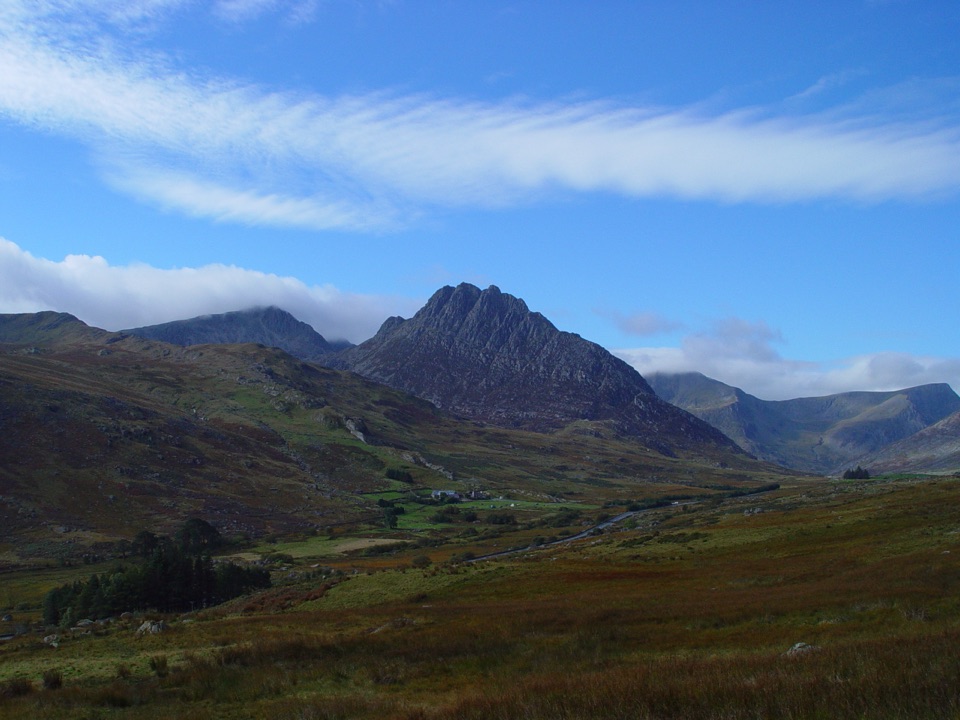 Sight · 1.8 km awayTryfanA jagged summit where every ascent becomes a hands-on scramble
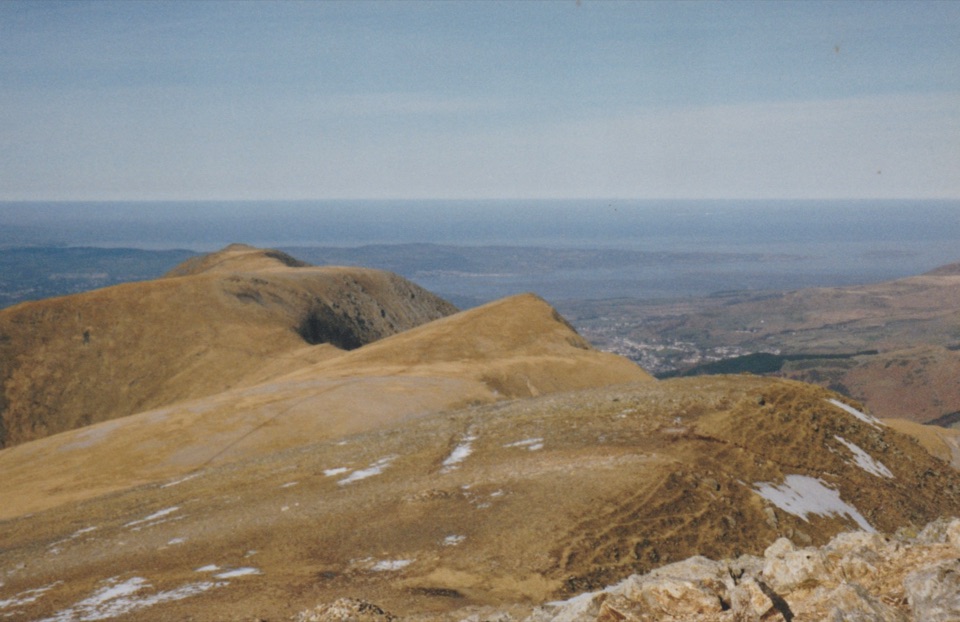 Sight · 2 km awayY Garn (Glyderau)A 947-metre summit with a front-row view of the Glyderau
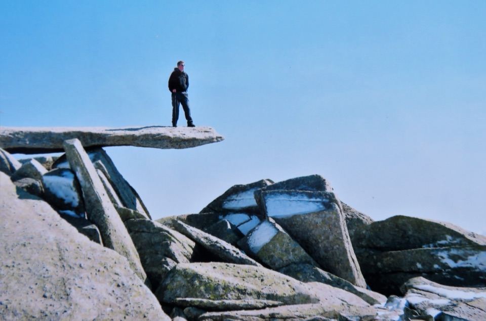 Sight · 2.2 km awayGlyder FachA jagged summit crowned by the famous Cantilever Stone
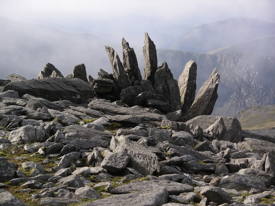 Sight · 2.5 km awayGlyder FawrA wild boulder plateau with wide views across Eryri
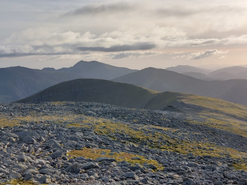 Sight · 3 km awayCarnedd DafyddA rugged 1,044m summit with wide Carneddau ridge views
Parkwolf’s Eryri ranking

The audio tour guide for the drive, plus offline maps, trails, and wildlife heatmaps for when the signal drops.
