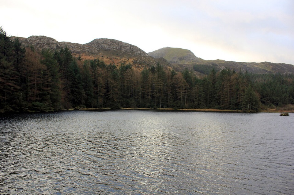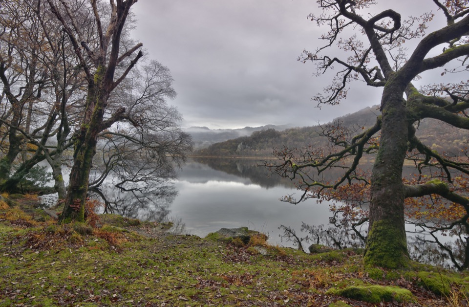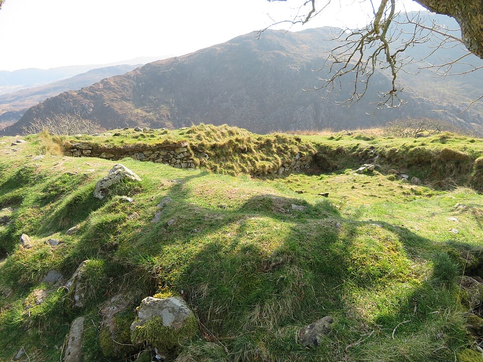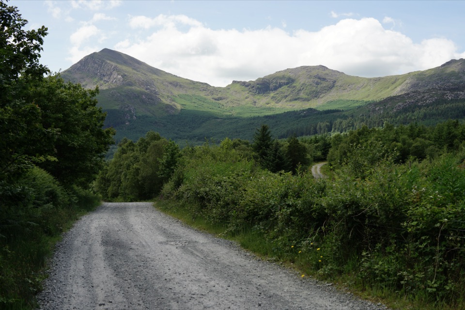
Moel Hebog in Eryri National Park

Sight · Eryri National Park

Moel Hebog

A proud 783-metre summit with sweeping views across the ridges

Photo: Public Domain
Type
Sight
Nearest trail
2.6 km
Audio stories
2 nearby

Hear the audio tour

Beddgelert Village and Gelert’s Grave

Overview

About Moel Hebog

Why stop

  • Wide summit views toward Yr Wyddfa and the Nantlle Ridge

Heads up

  • Steep, loose ground and short scrambling make the descent demanding

Map

Where it is

Loading the Eryri map
Full map
SightMoel Hebog53.00051, -4.14010
Keep this map with you offline in the Parkwolf app

Plan your stop

Before you go

Best time to go

Choose a clear, settled day if the views are the main reason for going, and start early or walk midweek for a better chance of having the ridge to yourself. Early or late light gives the slopes more texture than flat midday sun, while cloud and mist can make the summit feel atmospheric but erase the panorama. Bring waterproof footwear, warm layers, rain protection and enough food and water for a serious mountain walk.


A park ranger sits on a dash-mounted phone, talking, as Parkwolf’s Tour Guide plays “Army Cutworm Moths: A Grizzly Bear Buffet” on Grand Loop Road below Dunraven Pass in Yellowstone
Parkwolf Tour GuideThe highest, rockiest slopes around here are a summer buffet for grizzly bears.

Eryri Tour Guide

Your drive to Moel Hebog, narrated.

Parkwolf is a GPS audio tour guide for Eryri National Park. As you drive, it chimes in with what’s ahead: hidden gems, upcoming stops, history, geology, and wildlife, right through your car’s speakers.

Recorded for this area

Beddgelert Village and Gelert’s Grave
0:00 / 0:29
“You're approaching Beddgelert, a slate-roofed village where the Colwyn and Glaslyn rivers meet. I'd stop for the short riverside walk to Gelert's Grave; allow about an hour for the loop.”

Plays on the road 2.8 km from Moel Hebog in the Parkwolf Eryri Tour Guide.

More stories near here in the app

  • Aberglaslyn Pass
  • The Railway Built Twice
  • The Copper Buckets Above Aberglaslyn
  • Dinas Emrys from Craflwyn
  • 298 audio storiesacross Eryri’s roads, triggered by GPS as you drive
  • Wildlife heatmapsfor Grey Heron, Tawny Owl, Common Raven, and 9 more
  • Works offlinemaps, 120 trails, 82 places, and audio download before you lose signal
  • CarPlay readysimple controls built for the drive
★★★★★
“Fantastic app with many points of information… It’s great to just turn on while you’re driving and it gives you an audio tour of the national Park. We love it!!!!”
JMJamesApp Store review
Download Parkwolf on the App StoreGet Parkwolf on Google Play

4.7 from 8,600+ ratings

Guide

More about Moel Hebog

Why climb itMoel Hebog is the 783-metre mountain above Beddgelert, a broad, solitary summit with a…

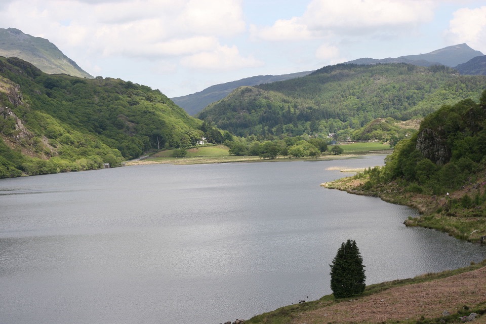
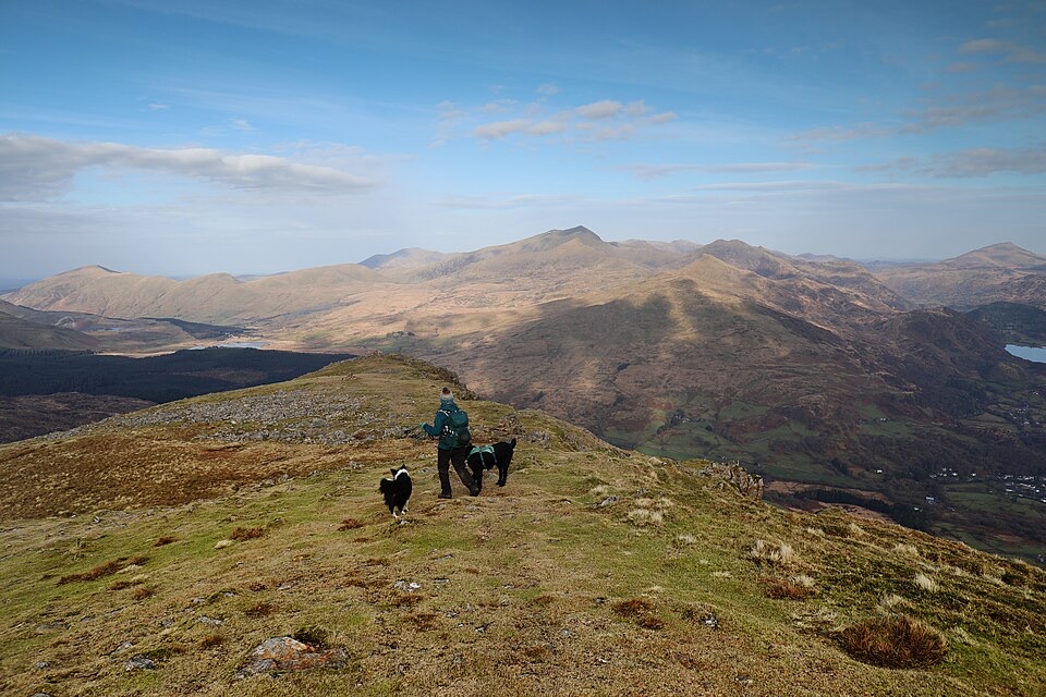
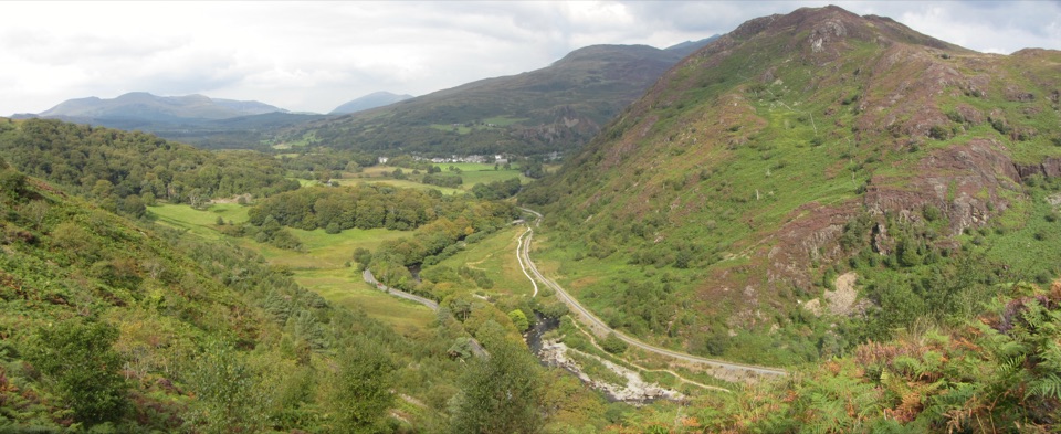
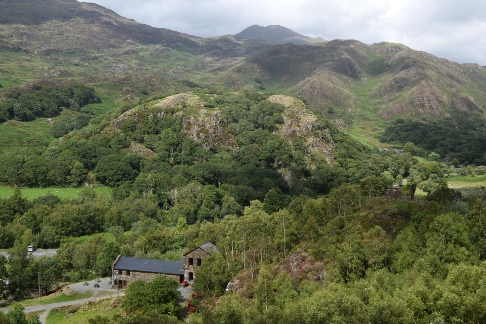
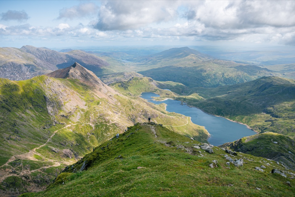
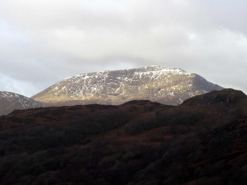
Moel Hebog is the 783-metre mountain above Beddgelert, a broad, solitary summit with a character of its own rather than a smaller encore to Yr Wyddfa. The top opens into a fine mountain panorama: on a clear day you can pick out the Yr Wyddfa massif, the Nantlle Ridge and the valleys around Beddgelert. The Welsh name means bare hill of the hawk, which fits the open, wind-shaped upper slopes.

This is a rewarding destination for walkers who want a proper summit day and a quieter-feeling alternative to Eryri's busiest mountain paths. Many routes can be extended over Moel yr Ogof and Moel Lefn, but Moel Hebog is worthwhile on its own.

Route and effortThe usual ascent from Beddgelert is roughly 9 km, with about 750 metres of ascent and around 4…

The usual ascent from Beddgelert is roughly 9 km, with about 750 metres of ascent and around 4 to 5 hours for the out-and-back, depending on the line taken and conditions. Expect a persistent climb, not a gentle stroll. The upper mountain brings steep, rocky and sometimes loose ground, with short sections where using your hands helps. The descent can feel harder than the way up when the rock is wet.

There are no services on the summit. Sort out food, water, parking and toilets in Beddgelert before setting off, then carry an offline map or paper map because the higher slopes can be indistinct in cloud. Keep dogs under close control around grazing sheep and on exposed ground. In poor visibility, slow down near the western crags and do not rely on cairns alone.

Wildlife

Wildlife in Eryri

All Eryri wildlife maps

Sighting maps show where each species has been reported across Eryri. Wildlife moves, so no sighting is guaranteed.

Keep exploring

Near Moel Hebog

See it all on the map

Trails nearby

More stops nearby

Parkwolf’s Eryri ranking

Top sights in Eryri

All 82 places
  1. 1Yr Wyddfa (Snowdon)Sight
  2. 2Snowdon Mountain RailwaySight
  3. 3Cader IdrisSight
  4. 4Harlech CastleSight
  5. 5Betws-y-CoedSight
  6. 6LlanberisSight

Take Parkwolf to Eryri.

The audio tour guide for the drive, plus offline maps, trails, and wildlife heatmaps for when the signal drops.

4.7 from 8,600+ ratings

Download Parkwolf on the App StoreGet Parkwolf on Google Play