Parking
Use the Beddgelert village car park west of the central bridge. Follow the signed access toward the route; the mapped line begins near Pont Alyn, about 400 m beyond the parking point.
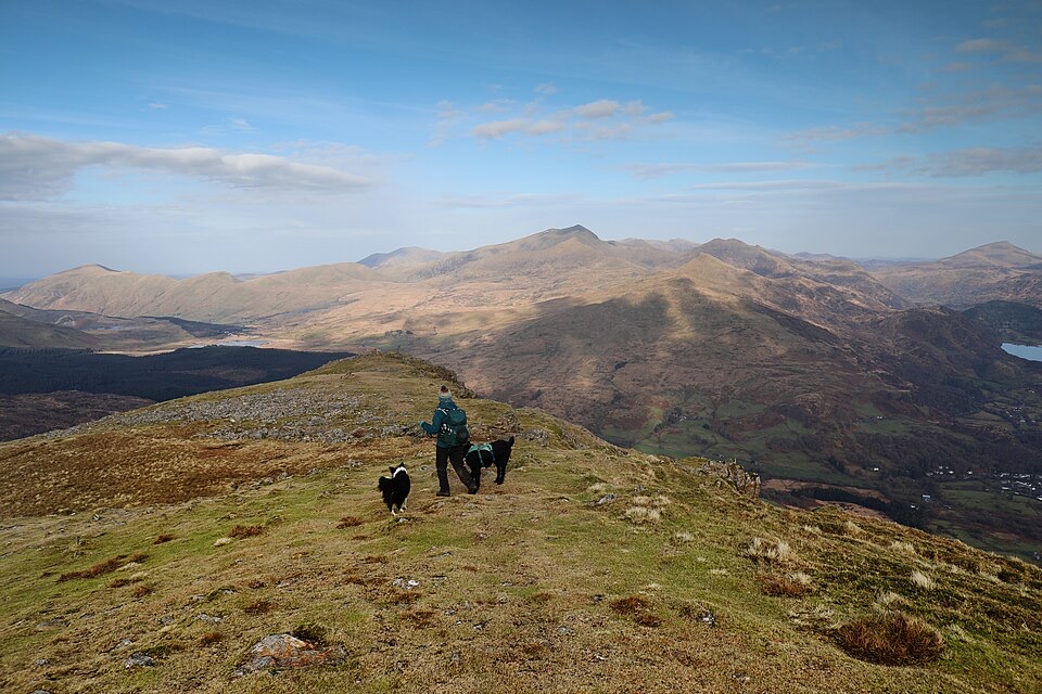
Eryri National Park, WA
Steep scree, three summits, then a forest descent back to Beddgelert
Overview
The summit view is the reason to come: Yr Wyddfa and its neighbours across the valley, the Nantlle Ridge running away northwest, Moel Siabod and the Moelwynion to the east, and the Eifionydd lowlands and coast to the southwest. The ridge section gives a genuine sense of height and airiness without technical difficulty. The rocky ground around Moel yr Ogof is the most characterful part, and the Owain Glyndwr cave lies in that area, though finding or entering it is not part of the walk and should not be counted on. The change from bare open mountain to enclosed conifer forest on the return is abrupt and gives the loop two very different halves.
 Parkwolf’s verdictThe payoff
Map & elevation
Plan your hike

The highest, rockiest slopes around here are a summer buffet for grizzly bears.
Eryri Tour Guide
Parkwolf is a GPS audio tour guide for Eryri National Park. As you drive, it chimes in with what’s ahead: hidden gems, upcoming stops, history, geology, and wildlife, right through your car’s speakers.
Recorded for this area
Beddgelert Village and Gelert’s Grave“You're approaching Beddgelert, a slate-roofed village where the Colwyn and Glaslyn rivers meet. I'd stop for the short riverside walk to Gelert's Grave; allow about an hour for the loop.”
Plays on the road 0.2 km from the trailhead in the Parkwolf Eryri Tour Guide.
More stories near here in the app
“Fantastic app with many points of information… It’s great to just turn on while you’re driving and it gives you an audio tour of the national Park. We love it!!!!”


Trail guide
A circular loop from Beddgelert, quoted as 10 km total for the full round. The mapped line measures 10.64 km because it preserves the detailed GPS corridor rather than smoothing the corners, so expect small differences against your own tracker.
The sequence is straightforward to picture and hard to walk: a rising approach from the valley fields into the cwm below Moel Hebog, a long sustained pull to the 782 m summit, then a ridge line north over Moel yr Ogof and Moel Lefn, a drop through the bwlch, and a return along forest tracks and paths back to the village side. Total ascent is around 992 m, most of it earned in one continuous climb.
Rated hard, 8/10, and that is a fair reading rather than a cautious one. Allow 4.5 to 5 hours at an ordinary mountain pace with stops.
There is no sustained exposure, but steep grass above rough ground is the real hazard here, particularly in descent and in poor visibility. This is a route for walkers who are comfortable on rough mountain terrain and carrying proper footwear, waterproofs, map and compass.
Navigation is manageable in clear weather but the route is not well waymarked. The ridge is intuitive when you can see it; in cloud it is not. The forest return is the most common place to lose the thread, with junctions and tracks that look alike. Carry a map and know where you intend to leave the forest before you enter it.
Start from the Beddgelert village car park area west of the central bridge, then follow the signed village-side access toward the route. There is no dedicated parking at the foot of the mountain. The mapped line begins at the signed access near Pont Alyn, roughly 400 m from the parking point, which is a deliberate short offset rather than a gap in the route.
Pets are permitted on the public footpath and open access sections, but this is working sheep country and the restrictions matter:
If the full round looks like too much, a direct out-and-back to Moel Hebog and straight back down is about 7 km and considerably simpler. It keeps the summit view but skips the ridge over Moel yr Ogof and Moel Lefn and the forest return, which are the parts that make the loop worth the extra effort. Note also that a longer 15 km version of this circuit exists using an extended forest approach; it is a different day out from the route described here.
Wildlife
 77 sightingsGrey HeronMost seen around 7 AMSighting map
 17 sightingsTawny OwlMost seen around 6 AMSighting map
 32 sightingsCommon RavenMost seen around 8 AMSighting map
 21 sightingsGreat Spotted WoodpeckerMost seen around 7 AMSighting map
 18 sightingsEuropean RabbitMost seen around 7 AMSighting map
 161 sightingsViviparous LizardMost seen around 10 AMSighting map
Sighting maps show where each species has been reported across Eryri. Wildlife moves, so no sighting is guaranteed.
Keep exploring
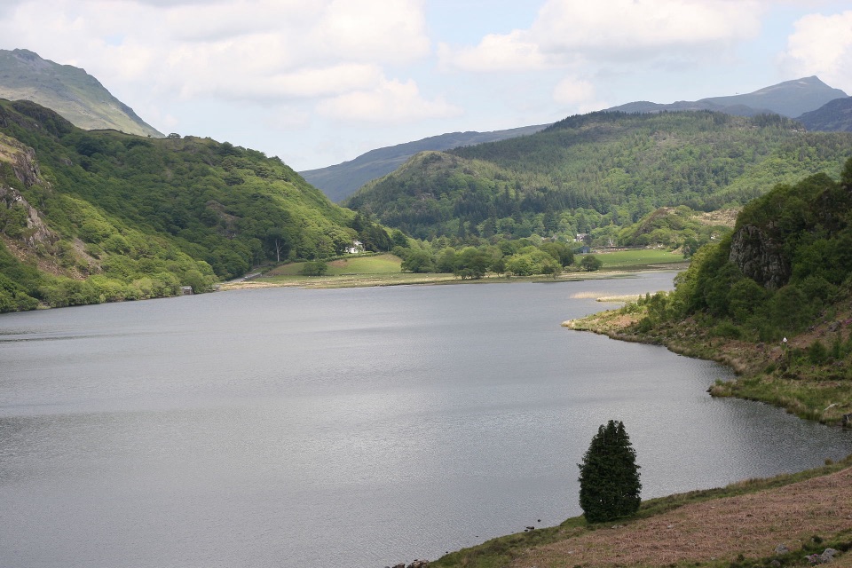 ChallengingFisherman’s Path and Cwm Bychan10 km · 5 hr · 0.1 km awayA strenuous gorge and copper-mine loop from Beddgelert village
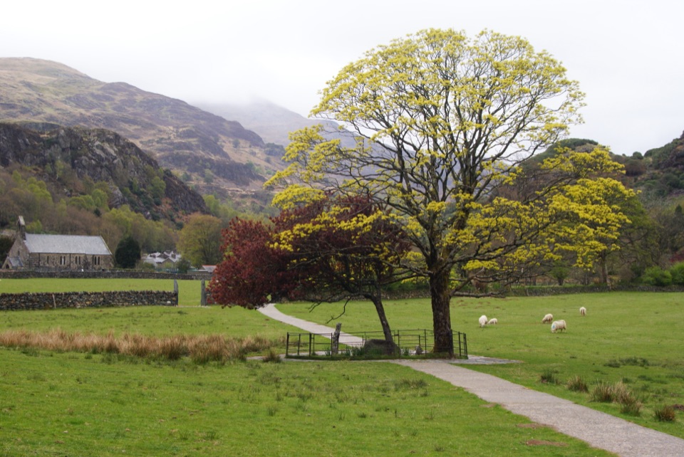 EasyGelert's Grave Walk2.1 km · 45 min · 0.3 km awayShort riverside loop to Gelert's stone memorial, with herons and dippers
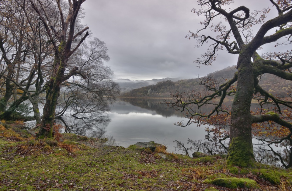 ModerateCraflwyn, Hafod y Llan and Llyn Dinas Walk10.5 km · 3.5 hr · 1.4 km awayOak woods, waterfalls and open heath on a loop to Llyn Dinas
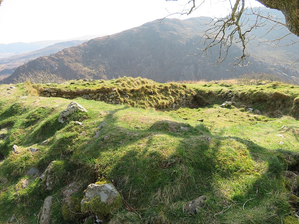 ModerateThe Legendary Trail of Dinas Emrys3.5 km · 2 hr · 1.4 km awayWoodland climb to a hillfort summit above Llyn Dinas and Nant Gwynant
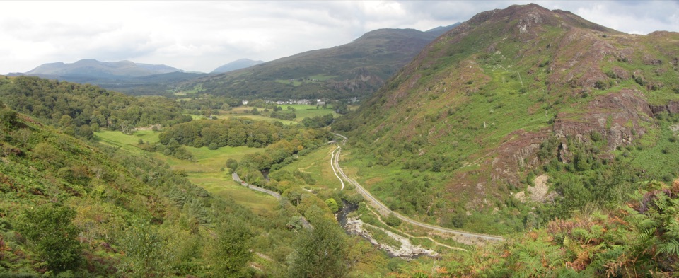 ChallengingAberglaslyn, Bryn Du and Beddgelert Walk5.6 km · 2 hr · 2.1 km awaySteep woodland climb to Bryn Du, then Gelert's grave and river paths
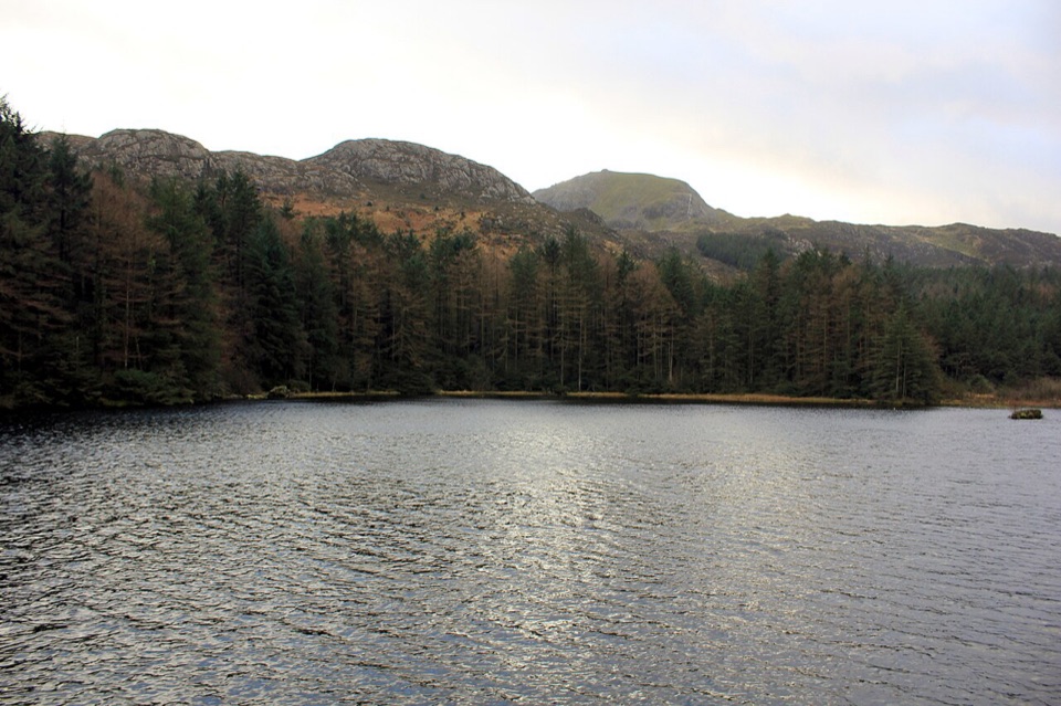 ModerateLlyn Llywelyn Walk4.3 km · 2.5 hr · 2.6 km awayForest roads climb to a hidden reservoir with Yr Wyddfa views
 ChallengingWatkin Path12.9 km · 6 hr · 4.7 km awayWaterfalls, slate ruins and a brutally steep finish to Yr Wyddfa's summit
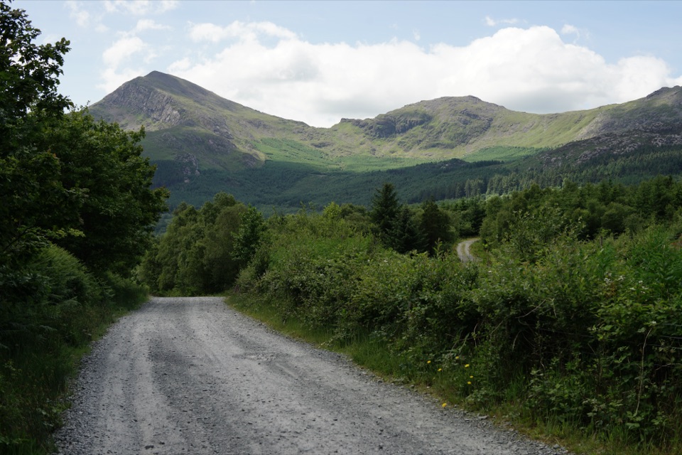 EasyLôn Gwyrfai7.2 km · 3 hr · 4.8 km awayEasy valley path linking Rhyd Ddu and Beddgelert with Yr Wyddfa views
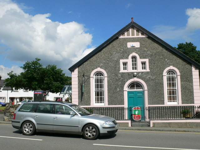 Visitor center · At the trailheadBeddgelert Information CentreA practical base for maps, mountain days, and Beddgelert know-how
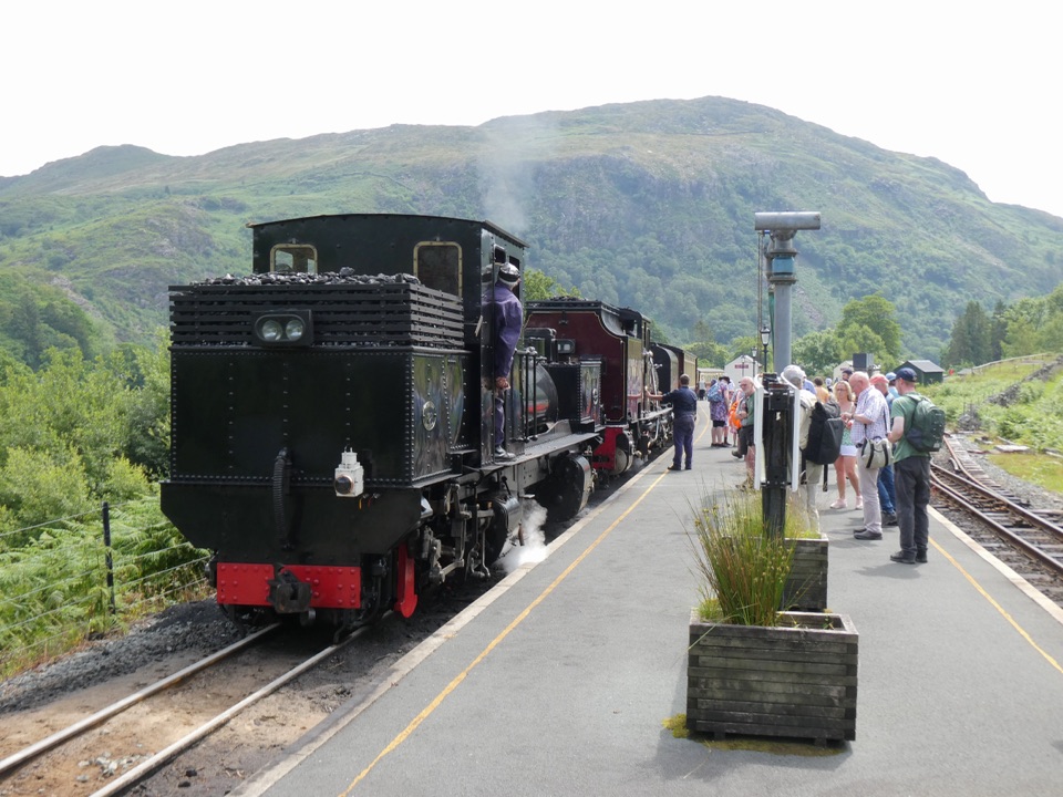 Sight · 0.1 km awayWelsh Highland RailwaySteam, mountain scenery, and a historic ride through Eryri
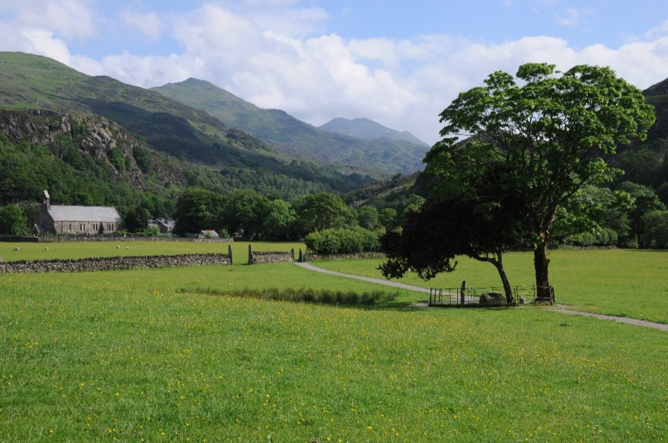 Sight · 0.2 km awayBeddgelertSlate-roofed village where two rivers meet beneath rugged peaks
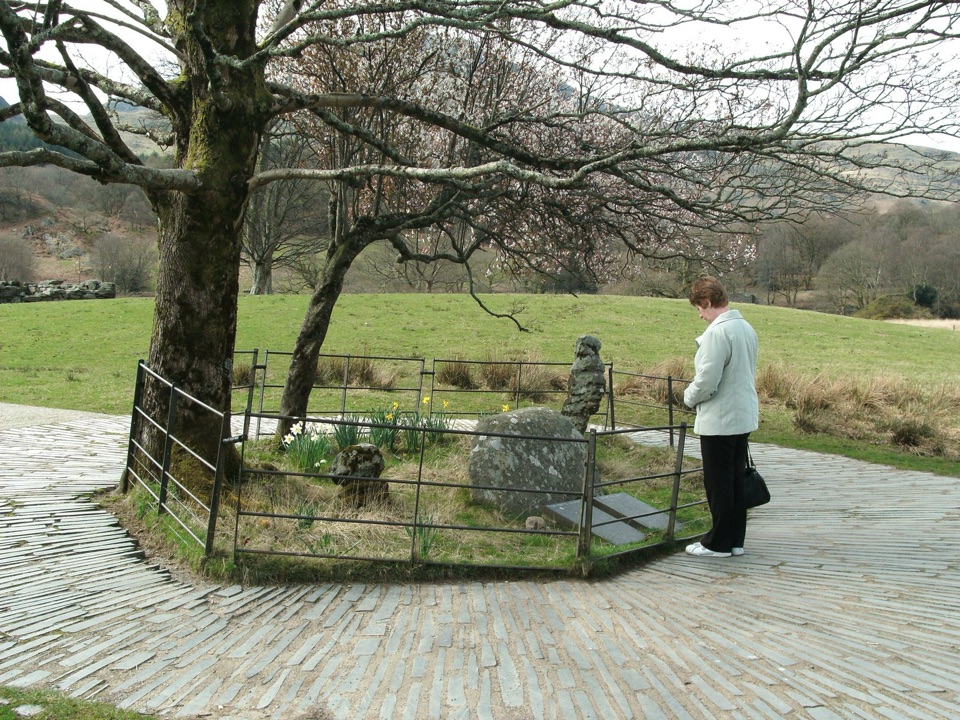 Sight · 0.4 km awayBedd Gelert (Gelert's Grave)A riverside memorial wrapped in Wales' most famous dog legend
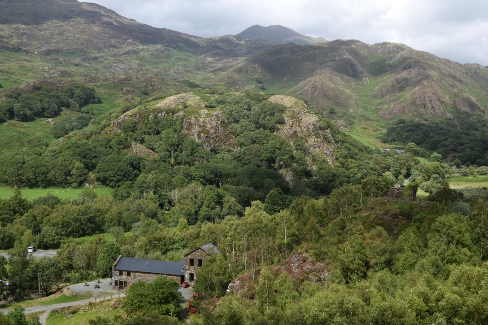 Sight · 1.8 km awaySygun Copper MineVictorian mine tunnels climb to a surprise mountain panorama
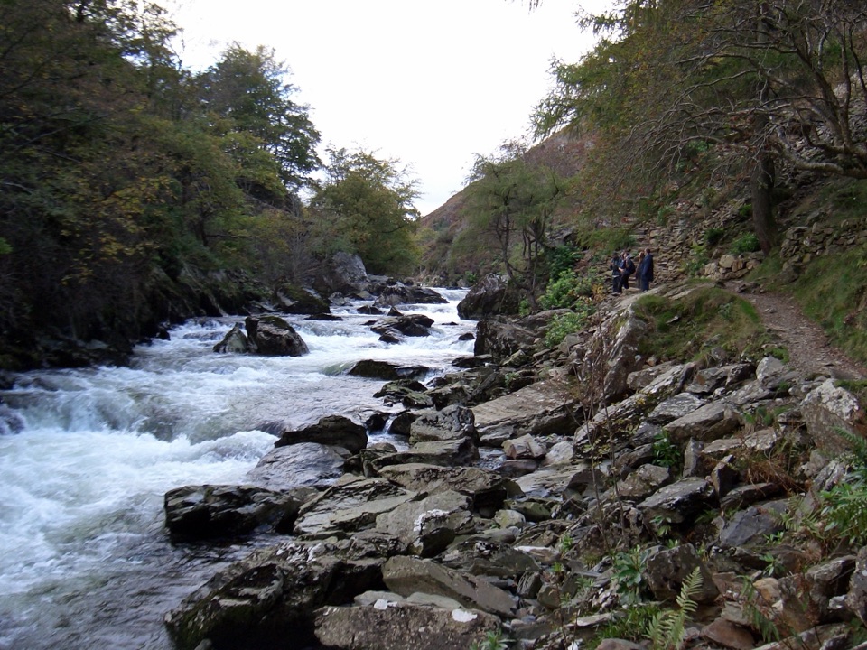 Sight · 1.9 km awayAberglaslyn PassA rushing river threading a dramatic wooded gorge
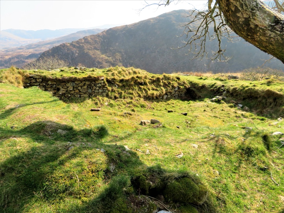 Sight · 2.1 km awayDinas EmrysA dragon legend, hillfort ruins, and a big Nant Gwynant view
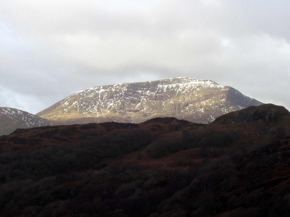 Sight · 2.6 km awayMoel HebogA proud 783-metre summit with sweeping views across the ridges
Parkwolf’s Eryri ranking
The audio tour guide for the drive, plus offline maps, trails, and wildlife heatmaps for when the signal drops.



