Aberglaslyn, Bryn Du and Beddgelert Walk in Eryri National Park

Eryri National Park, WA

Aberglaslyn, Bryn Du and Beddgelert Walk

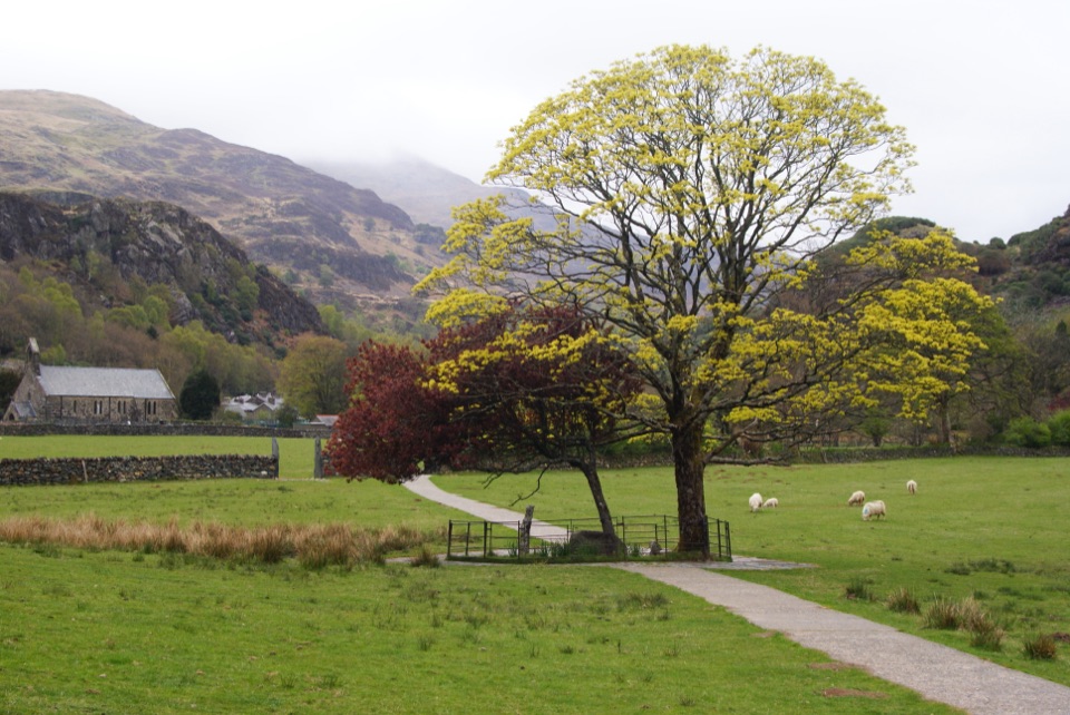
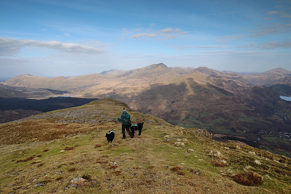
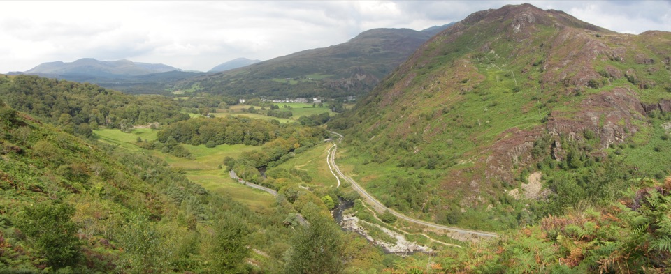
Steep woodland climb to Bryn Du, then Gelert's grave and river paths

Photo: Wikimedia Commons
Length
5.6km
Time
2hr
Elev. change
142m
Difficulty
Challenging
  • Loop
  • Dogs allowed
  • High point 174 m
  • #38 of 120 in Eryri

Hear the audio tour

Aberglaslyn Pass

Overview

About Aberglaslyn, Bryn Du and Beddgelert Walk

Why go

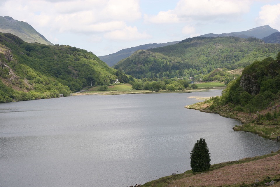
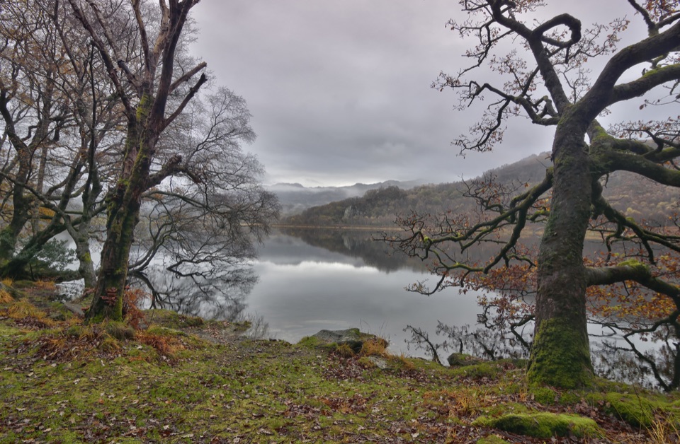
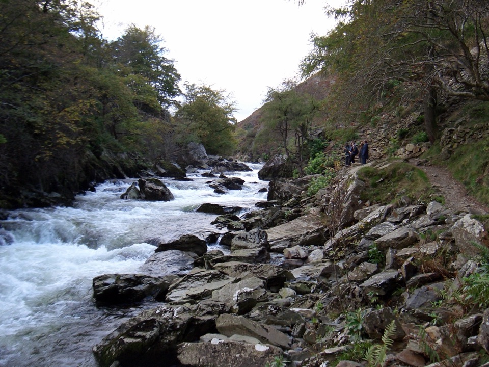
  • Dramatic gorge and river scenery
  • Bryn Du views and Beddgelert included

Heads up

  • Steep start with steps and stiles
  • Short road and railway crossings
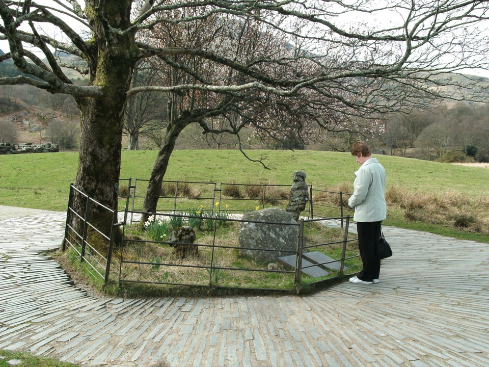
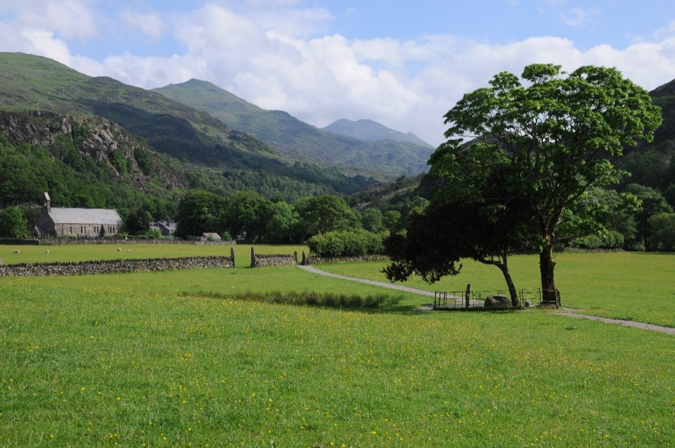
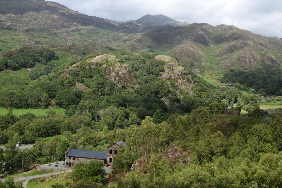
The reward is variety in a short distance: a rocky wooded gorge, the height and long valley views from Bryn Du, Gelert's grave and sculpture, and an easy riverside return through Beddgelert. Height gain is modest in absolute terms, with the route rolling between roughly 30 and 175 metres, but it comes in concentrated bursts.
Parkwolf’s verdictThe payoff

Map & elevation

The route

Loading the Eryri map
Full map
Elevation32–174 m
TrailheadNational Trust car park, Nantmor52.99470, -4.09185
Keep this map with you offline in the Parkwolf app

Plan your hike

Before you go

Parking

National Trust car park at Aberglaslyn in Nantmor, LL55 4YG. From Beddgelert, take the A498 toward Porthmadog, turn left over the River Glaslyn onto the A4085 toward Penrhyndeudraeth, then after about 0.2 miles turn left into the car park. Sat-nav may direct you to Nantmor village rather than the car park.


Safety

Steep opening climb, rough ground, steps, stiles, and short road and railway crossings. Keep children close at crossings and dogs under control around livestock.

A park ranger sits on a dash-mounted phone, talking, as Parkwolf’s Tour Guide plays “Army Cutworm Moths: A Grizzly Bear Buffet” on Grand Loop Road below Dunraven Pass in Yellowstone
Parkwolf Tour GuideThe highest, rockiest slopes around here are a summer buffet for grizzly bears.

Eryri Tour Guide

Your drive to Aberglaslyn, Bryn Du and Beddgelert Walk, narrated.

Parkwolf is a GPS audio tour guide for Eryri National Park. As you drive, it chimes in with what’s ahead: hidden gems, upcoming stops, history, geology, and wildlife, right through your car’s speakers.

Recorded for this trailhead

Aberglaslyn Pass
0:00 / 0:32
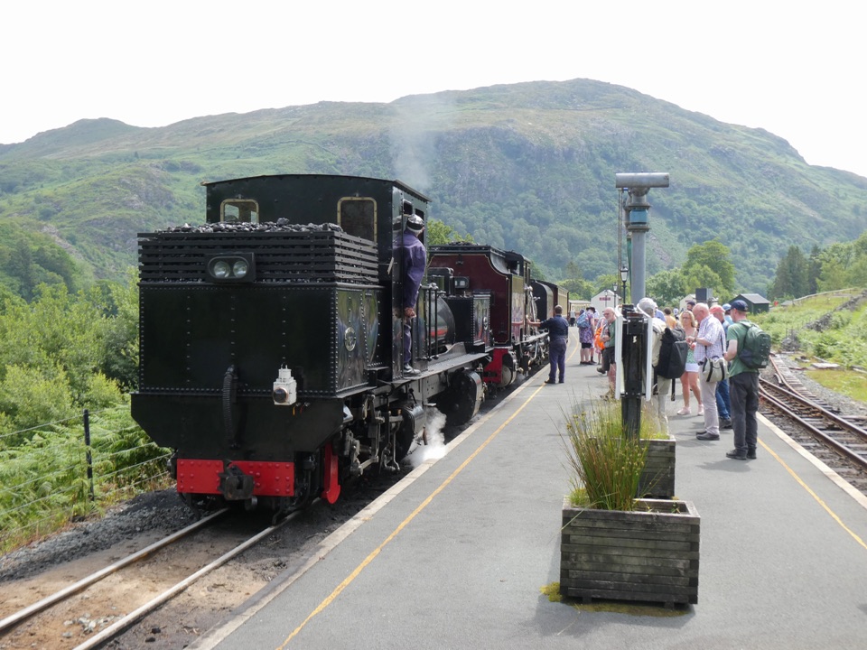
“You're approaching Aberglaslyn Pass, where the Glaslyn rushes through a narrow wooded gorge beside the Welsh Highland Railway.”

Plays as you drive up to this trailhead in the Parkwolf Eryri Tour Guide.

More stories near here in the app

  • The Copper Buckets Above Aberglaslyn
  • Hear the Kingfisher First
  • Beddgelert Village and Gelert’s Grave
  • Croesor's Scholar in the Quarry Office
  • 298 audio storiesacross Eryri’s roads, triggered by GPS as you drive
  • Wildlife heatmapsfor Grey Heron, Tawny Owl, Common Raven, and 9 more
  • Works offlinemaps, 120 trails, 82 places, and audio download before you lose signal
  • CarPlay readysimple controls built for the drive
★★★★★
“Fantastic app with many points of information… It’s great to just turn on while you’re driving and it gives you an audio tour of the national Park. We love it!!!!”
JMJamesApp Store review
Download Parkwolf on the App StoreGet Parkwolf on Google Play

4.7 from 8,600+ ratings

Trail guide

Hiking Aberglaslyn, Bryn Du and Beddgelert Walk

The walk in shortA circular route of 3.5 miles (5.

A circular route of 3.5 miles (5.6 km) through the Glaslyn valley, starting and finishing at the car park at Nantmor. That figure is the full loop back to your car, not a one way distance. Allow 1 hour 30 minutes to 2 hours 30 minutes, and expect a graded challenging walk rather than a gentle stroll.

How the route unfoldsEight short stages link woodland, open hillside and riverside:

Eight short stages link woodland, open hillside and riverside:

  • Leave the car park through the gate signed toward Aberglaslyn and drop down to the River Glaslyn, then pass a kissing gate and cross the road bridge.
  • Follow the road briefly to the Coed Aberglaslyn sign, take the footpath to the stream and climb steps up through the trees.
  • Cross a stile onto Bryn Du, where an optional detour leads to a small hilltop tower.
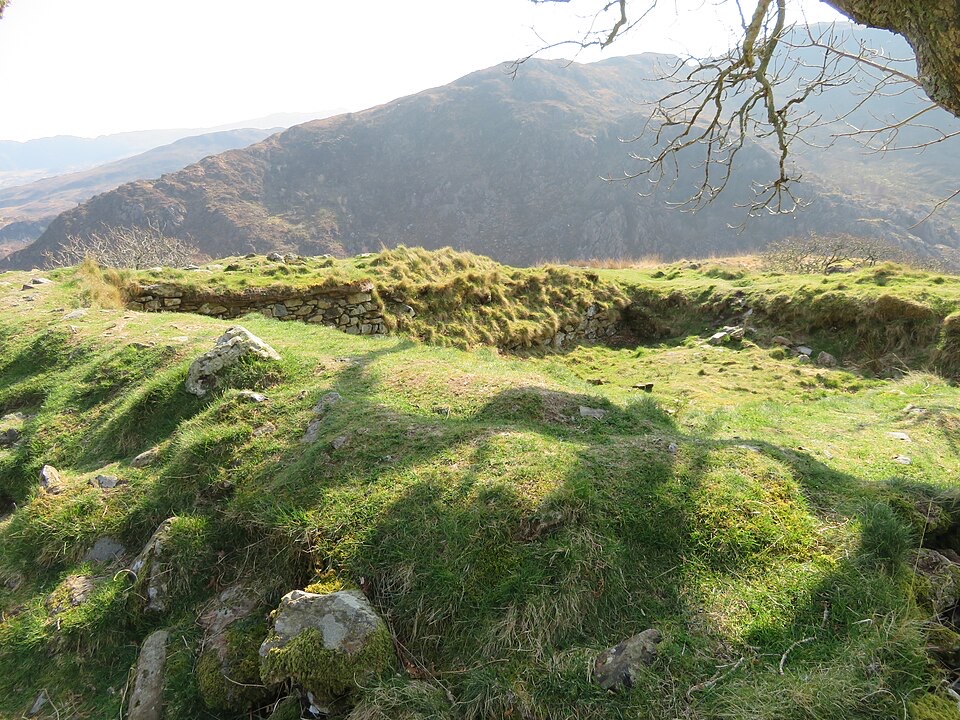
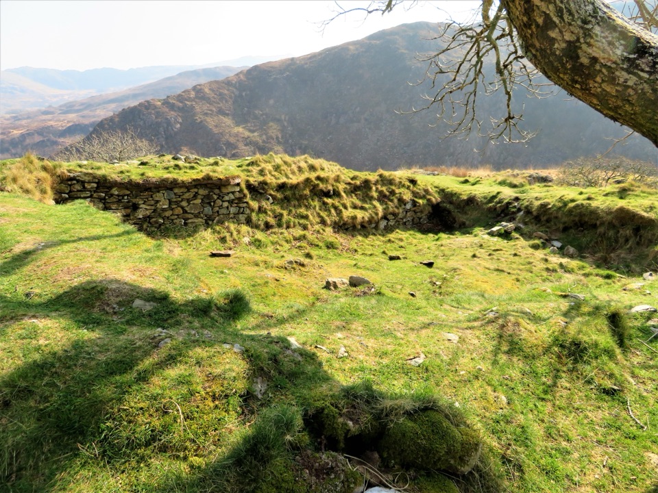
  • Descend through a gate beside a ruined building with a fallen tree, cross a stile and field, then cross the railway and road and continue on a track through a small wooden gate.
  • Visit Gelert's grave and sculpture, carry on into Beddgelert, cross the bridge and follow the river downstream before turning up into woodland back to the car park.

Practical difficulty and surfacesThe climb starts early and steeply, so warm up before you set off.

The climb starts early and steeply, so warm up before you set off. Underfoot you will meet woodland paths, flights of steps, uneven and rough ground on the open hillside, and stiles. Those features call for a reasonable degree of mobility. There is a short section along the main road, plus a railway crossing and road crossings, so keep children close and stay alert at those points. Walking boots with grip are sensible.

DogsDogs are welcome but must be kept under control throughout, particularly on the field and…

Dogs are welcome but must be kept under control throughout, particularly on the field and hillside sections where livestock may be grazing, and along the road and railway crossings.

Getting there and parkingUse the car park at Aberglaslyn in Nantmor, LL55 4YG, with toilets on site.

Use the car park at Aberglaslyn in Nantmor, LL55 4YG, with toilets on site. Sat-nav often directs drivers to Nantmor village about 0.6 miles away instead of the car park itself, so it helps to know the final approach: from Beddgelert take the A498 toward Porthmadog, turn left over the River Glaslyn onto the A4085 toward Penrhyndeudraeth, and after about 0.2 miles turn left into the car park.

If you want a longer dayFrom the same area, the Aberglaslyn, Llyn Dinas and Cwm Bychan circuit covers 5.7 miles (9.

From the same area, the Aberglaslyn, Llyn Dinas and Cwm Bychan circuit covers 5.7 miles (9.12 km) and is also graded challenging, a good choice if 3.5 miles feels too short.

Wildlife

Wildlife in Eryri

All Eryri wildlife maps

Sighting maps show where each species has been reported across Eryri. Wildlife moves, so no sighting is guaranteed.

Keep exploring

Near Aberglaslyn, Bryn Du and Beddgelert Walk

See it all on the map

Trails that start nearby

Places near the trailhead

Parkwolf’s Eryri ranking

Top-rated trails in Eryri

All 120 trails
  1. 1Yr Wyddfa Pyg Track and Miners’ Track LoopChallenging · 12.1 km
  2. 2Llanberis PathChallenging · 14.5 km
  3. 3Pyg TrackChallenging · 11 km
  4. 4Miners’ TrackChallenging · 12.9 km
  5. 5Cwm Idwal WalkModerate · 4.8 km
  6. 6Watkin PathChallenging · 12.9 km

Take Parkwolf to Eryri.

The audio tour guide for the drive, plus offline maps, trails, and wildlife heatmaps for when the signal drops.

4.7 from 8,600+ ratings

Download Parkwolf on the App StoreGet Parkwolf on Google Play