Overview
About Aberglaslyn Pass
Why stop
- Rushing river through a dramatic wooded gorge
- Railway, bridges, and woodland add variety
Heads up
- Rocky, slippery path with narrow sections
- Limited car-park space on popular days
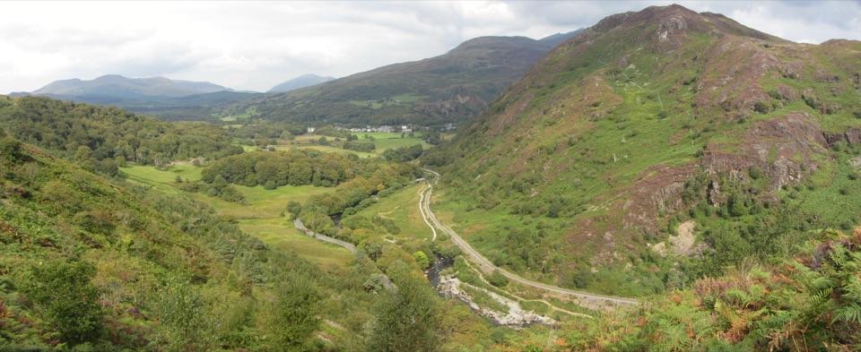
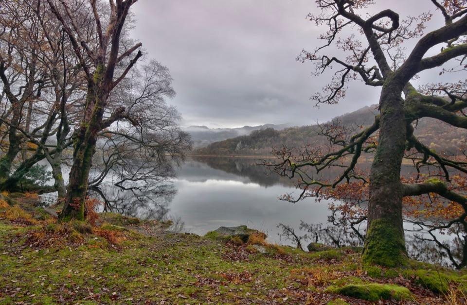
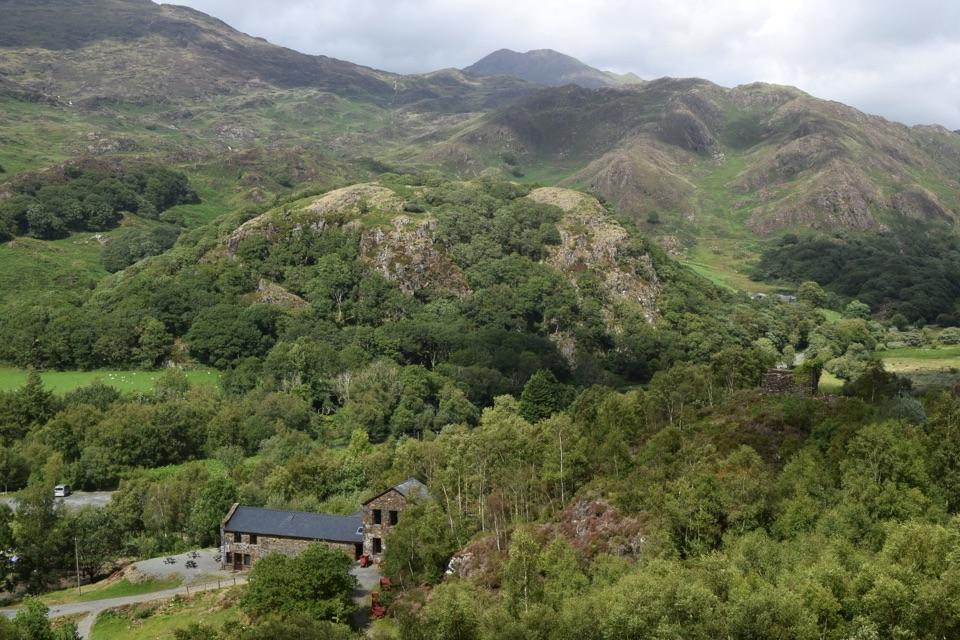
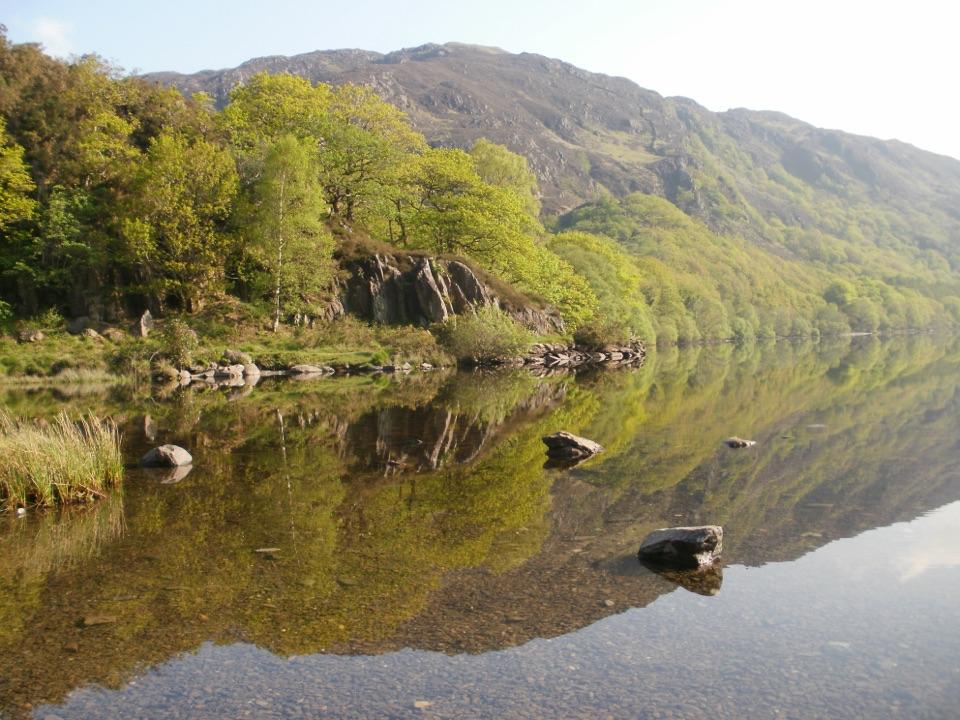
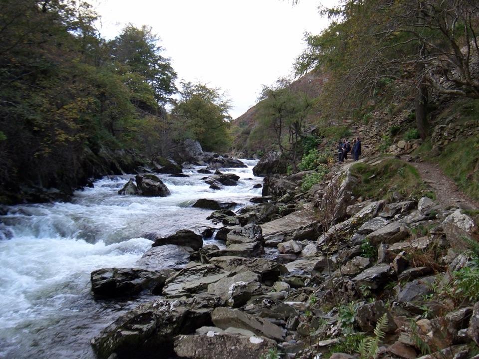
Aberglaslyn Pass is a narrow, wooded gorge where the River Glaslyn squeezes between steep rocky sides. The Fisherman's Path keeps close to the water, passing mossy rock, woodland and fast-running cascades before crossing the railway and the river toward Beddgelert. It feels properly wild for a short outing, but the river and gorge do most of the work, so you do not need a mountain day to enjoy it.
 Parkwolf’s verdictWhy stop
Map
Where it is

The highest, rockiest slopes around here are a summer buffet for grizzly bears.
Eryri Tour Guide
Your drive to Aberglaslyn Pass, narrated.
Parkwolf is a GPS audio tour guide for Eryri National Park. As you drive, it chimes in with what’s ahead: hidden gems, upcoming stops, history, geology, and wildlife, right through your car’s speakers.
See the Eryri audio tourRecorded for this place
Aberglaslyn Pass“You're nearing Aberglaslyn Pass, where the Glaslyn rushes through a narrow wooded gorge beside the Welsh Highland Railway.”
Plays as you drive up to Aberglaslyn Pass in the Parkwolf Eryri Tour Guide.
More stories near here in the app
- The Copper Buckets Above Aberglaslyn
- Beddgelert Village and Gelert’s Grave
- Hear the Kingfisher First
- Croesor's Scholar in the Quarry Office
- 298 audio storiesacross Eryri’s roads, triggered by GPS as you drive
- Wildlife heatmapsfor Grey Heron, European Badger, Tawny Owl, and 10 more
- Works offlinemaps, 122 trails, 84 places, and audio download before you lose signal
- CarPlay readysimple controls built for the drive
“Fantastic app with many points of information… It’s great to just turn on while you’re driving and it gives you an audio tour of the national Park. We love it!!!!”


Guide
More about Aberglaslyn Pass
The walkFrom the National Trust car park at Nantmor, follow the Fisherman's Path upstream toward…
From the National Trust car park at Nantmor, follow the Fisherman's Path upstream toward Beddgelert, then return the same way. This is not a smooth promenade: expect steps, exposed rock, roots, narrow sections and mud after rain. Take particular care on the stone buttress above the river and at the railway crossing.
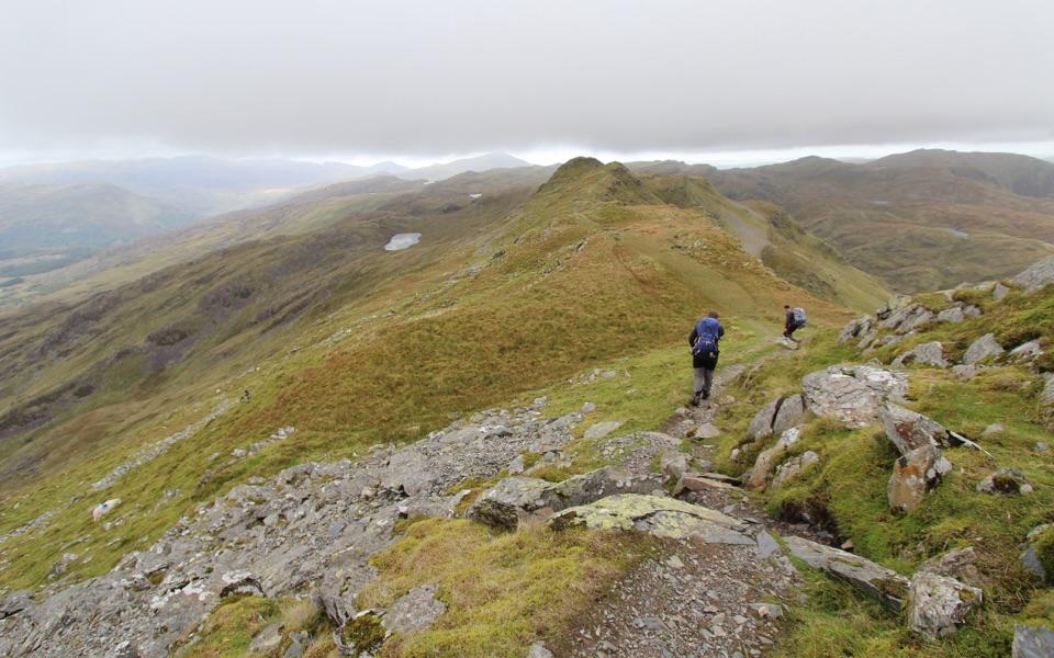
For a longer day, the National Trust's circular walks add Beddgelert, Bryn Du, Llyn Dinas, or the old copper workings at Cwm Bychan. Those extensions become proper hill walks, with steeper ground and more navigation, so treat the short gorge walk and the larger circuits as different outings.
Practical detailsUse the National Trust car park at Nantmor, postcode LL55 4YG.
Use the National Trust car park at Nantmor, postcode LL55 4YG. Sat nav may leave you at Nantmor village rather than the entrance, so follow the signed approach from the A4085 and do not block the narrow road, field entrances, or residential access. A toilet is available in the car park; there are no reliable facilities along the gorge itself.
Dogs are welcome; keep them on a lead, as livestock may be present on the walking routes. Rain makes the rocks and path slippery. Keep children close by the water and at crossings: the river runs fast and the rocks can be slick.
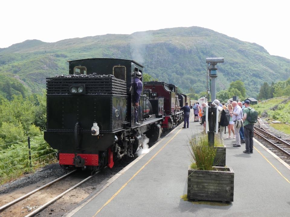
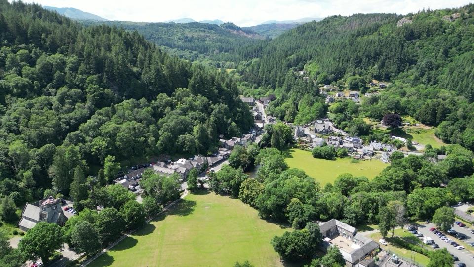
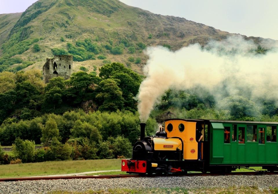
Why stopThe restored Welsh Highland Railway is part of the scenery too.
The restored Welsh Highland Railway is part of the scenery too. Its track runs through the pass and disappears into old tunnels, giving the walk an unusual mix of river gorge, railway history, and working landscape. Continue toward Beddgelert for a village stop, or make the gorge the main event and turn around when the footing or time stops being fun.
Wildlife
Wildlife in Eryri
 80 sightingsGrey HeronMost seen around 7 AMSighting map
 10 sightingsEuropean BadgerMost seen around 8 PMSighting map
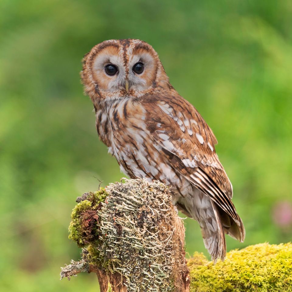 17 sightingsTawny OwlMost seen around 6 AMSighting map
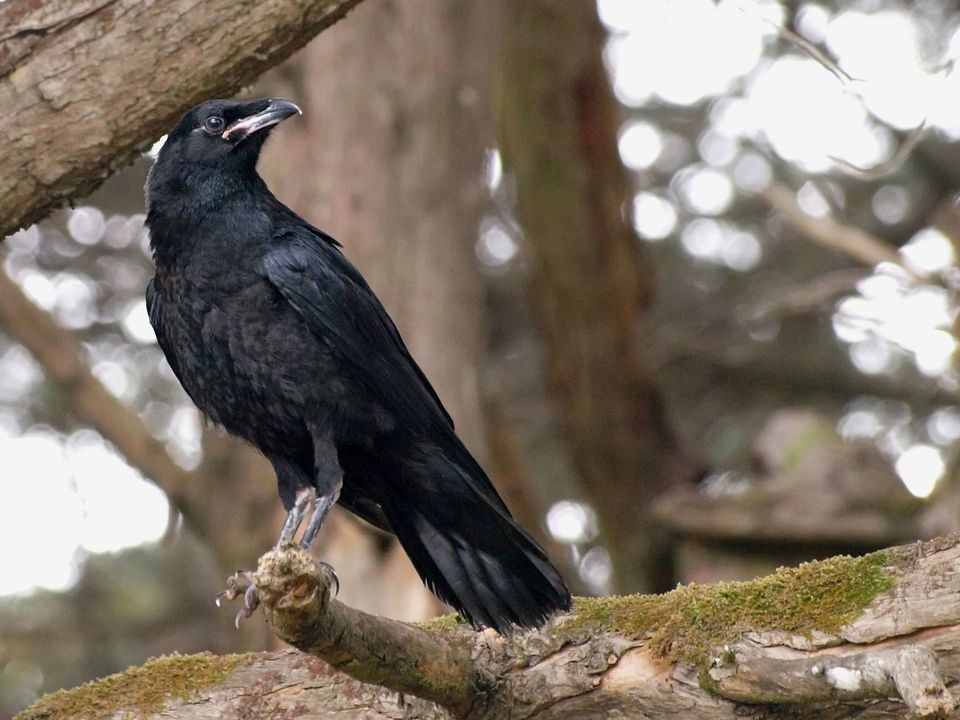 36 sightingsCommon RavenMost seen around 8 AMSighting map
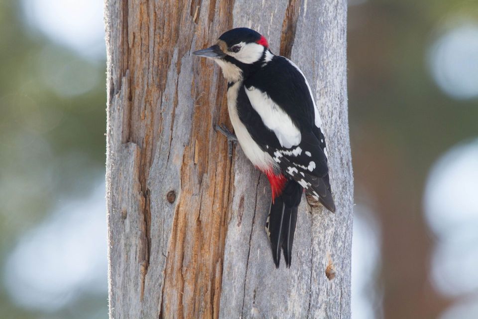 21 sightingsGreat Spotted WoodpeckerMost seen around 7 AMSighting map
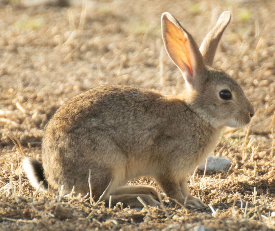 18 sightingsEuropean RabbitMost seen around 7 AMSighting map
Sighting maps show where each species has been reported across Eryri. Wildlife moves, so no sighting is guaranteed.