Parking
Use a public car park in Beddgelert and walk to the southern village-centre footbridge. There are no National Trust car parks in Beddgelert; the nearest are Craflwyn (about 1 mile) and Nantmor (about 2 miles).
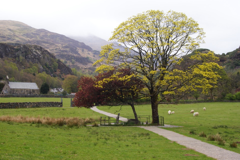
Eryri National Park, WA
Short riverside loop to Gelert's stone memorial, with herons and dippers
Overview
Map & elevation
Plan your hike

The highest, rockiest slopes around here are a summer buffet for grizzly bears.
Eryri Tour Guide
Parkwolf is a GPS audio tour guide for Eryri National Park. As you drive, it chimes in with what’s ahead: hidden gems, upcoming stops, history, geology, and wildlife, right through your car’s speakers.
Recorded for this trailhead
Beddgelert Village and Gelert’s Grave“You're approaching Beddgelert, a slate-roofed village where the Colwyn and Glaslyn rivers meet. I'd stop for the short riverside walk to Gelert's Grave; allow about an hour for the loop.”
Plays as you drive up to this trailhead in the Parkwolf Eryri Tour Guide.
More stories near here in the app
“Fantastic app with many points of information… It’s great to just turn on while you’re driving and it gives you an audio tour of the national Park. We love it!!!!”


Trail guide
This is a circular walk of about 1.28 miles (2.07 km), the full mapped loop distance on record. The route information gives a rounded headline of 1 mile (1.6 km) and 40 minutes to 1 hour, which is the same route described in simpler round numbers. Start and finish at the footbridge over the River Glaslyn just south of Beddgelert village centre.
From the footbridge the route passes St Mary's church, then follows the Glaslyn downstream and crosses a field to the stone memorial known as Gelert's Grave. It continues to Beudy Buarth Gwyn, where a bronze cast of Gelert stands, crosses a small tributary footbridge, and passes the wooded island of Ynys Dol-leian. The path stays with the river to a second footbridge, crosses the Glaslyn there and returns upstream to the starting footbridge. The payoff is the memorial itself and a riverside stretch with mountain views, plus the village name that carries the story.
The walking is on a defined riverside footpath, field paths and short footbridges, with no sustained climbing. The route description says the walk is suitable for wheelchairs. Field sections are unpaved and can be uneven, so shoes with some grip are sensible. Because the loop is short and level, it suits families, mixed-ability groups and anyone with a spare hour.
Dogs are welcome. Keep them under control, and on a lead wherever livestock are present in the riverside fields.
There are no National Trust car parks in Beddgelert. The nearest are at Craflwyn, about 1 mile away, and Nantmor, about 2 miles away. If you use a public car park in the village, walk through to the footbridge at the southern end of the centre to begin. Public toilets are on the narrow lane past Ty Isaf shop near the bridge.
The memorial is tied to the legend of Gelert and Prince Llywelyn, and that story is a legend rather than recorded history. Alongside it, the Glaslyn is an important salmon-spawning river, and the route notes herons and dippers along the water. Wetland meadow plants include hay rattle, purple loosestrife, whorled caraway and ragged robin. Look for the copper steam-train gate, a nod to local copper mining and Welsh Highland Railway heritage.
Wildlife
 77 sightingsGrey HeronMost seen around 7 AMSighting map
 17 sightingsTawny OwlMost seen around 6 AMSighting map
 32 sightingsCommon RavenMost seen around 8 AMSighting map
 21 sightingsGreat Spotted WoodpeckerMost seen around 7 AMSighting map
 18 sightingsEuropean RabbitMost seen around 7 AMSighting map
 161 sightingsViviparous LizardMost seen around 10 AMSighting map
Sighting maps show where each species has been reported across Eryri. Wildlife moves, so no sighting is guaranteed.
Keep exploring
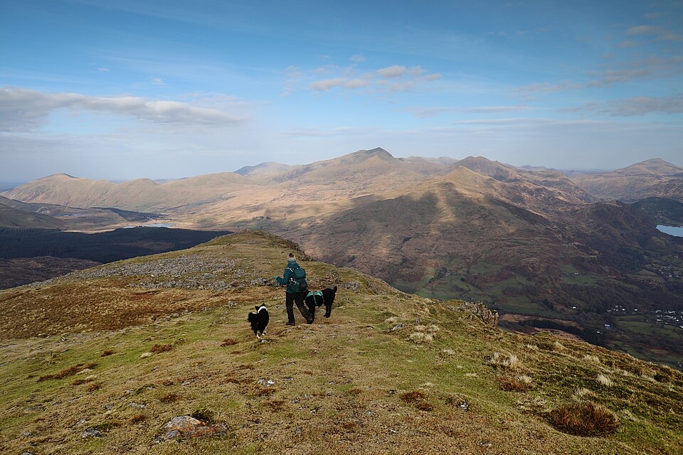 ChallengingMoel Hebog Circular10.6 km · 5 hr · 0.3 km awaySteep scree, three summits, then a forest descent back to Beddgelert
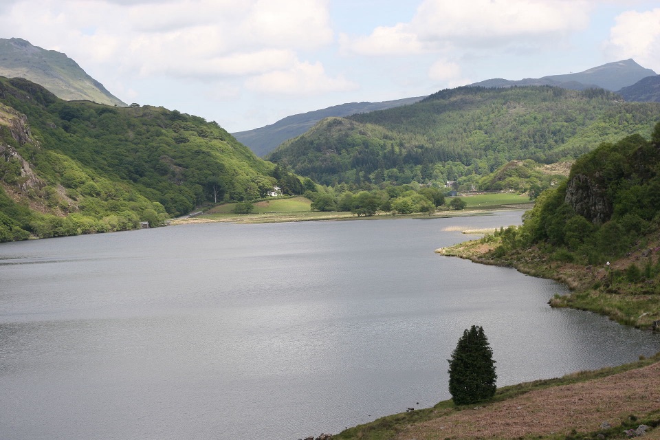 ChallengingFisherman’s Path and Cwm Bychan10 km · 5 hr · 0.4 km awayA strenuous gorge and copper-mine loop from Beddgelert village
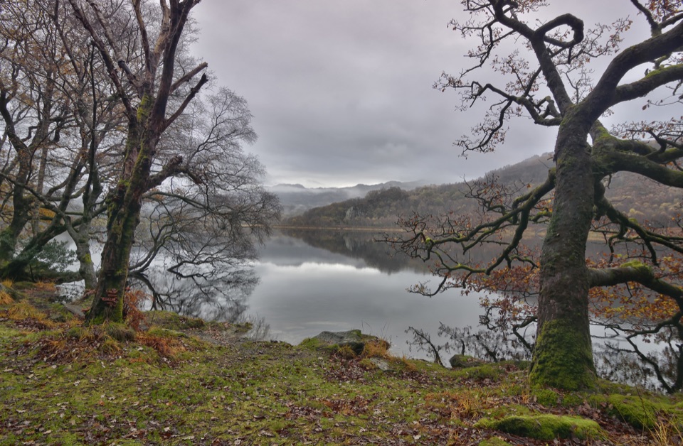 ModerateCraflwyn, Hafod y Llan and Llyn Dinas Walk10.5 km · 3.5 hr · 1.2 km awayOak woods, waterfalls and open heath on a loop to Llyn Dinas
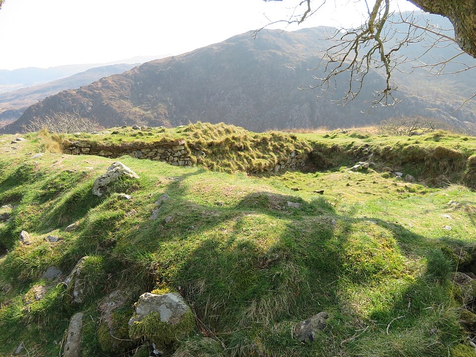 ModerateThe Legendary Trail of Dinas Emrys3.5 km · 2 hr · 1.2 km awayWoodland climb to a hillfort summit above Llyn Dinas and Nant Gwynant
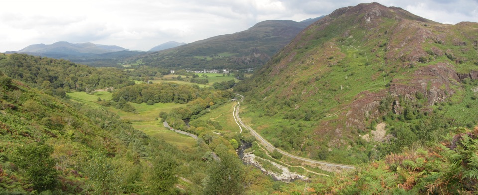 ChallengingAberglaslyn, Bryn Du and Beddgelert Walk5.6 km · 2 hr · 2 km awaySteep woodland climb to Bryn Du, then Gelert's grave and river paths
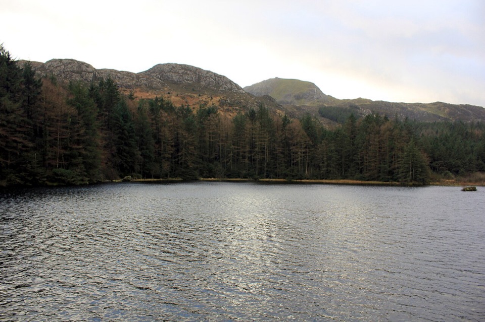 ModerateLlyn Llywelyn Walk4.3 km · 2.5 hr · 2.8 km awayForest roads climb to a hidden reservoir with Yr Wyddfa views
 ChallengingWatkin Path12.9 km · 6 hr · 4.5 km awayWaterfalls, slate ruins and a brutally steep finish to Yr Wyddfa's summit
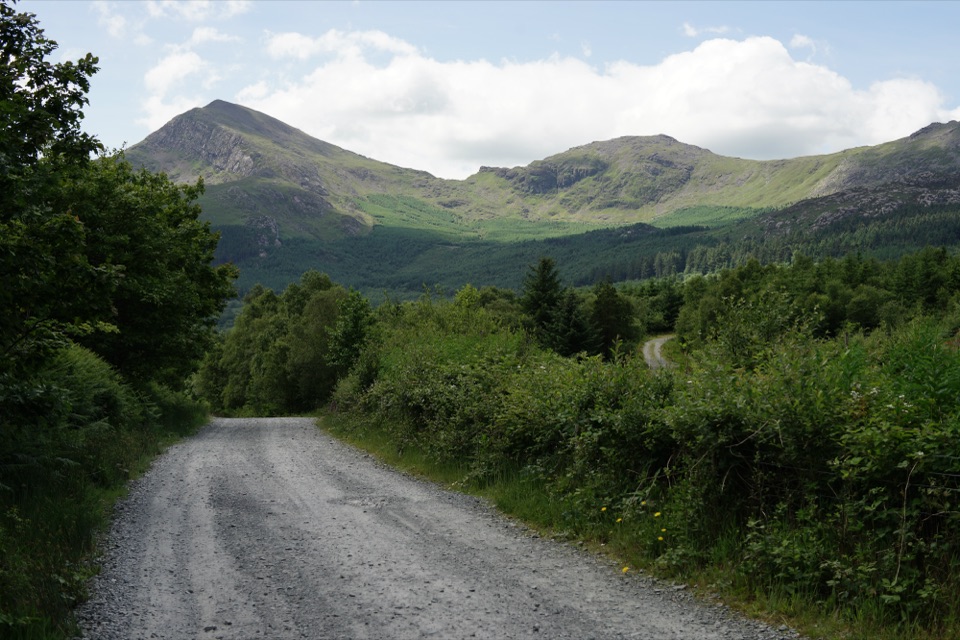 EasyLôn Gwyrfai7.2 km · 3 hr · 4.9 km awayEasy valley path linking Rhyd Ddu and Beddgelert with Yr Wyddfa views
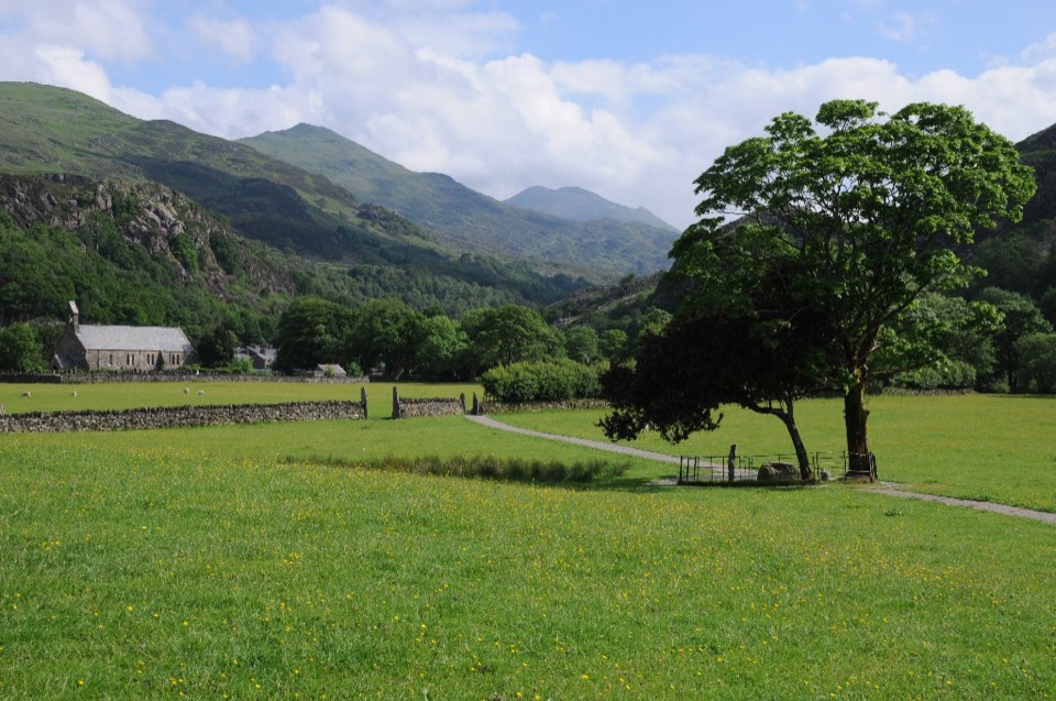 Sight · 0.1 km awayBeddgelertSlate-roofed village where two rivers meet beneath rugged peaks
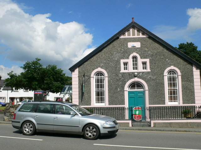 Visitor center · 0.2 km awayBeddgelert Information CentreA practical base for maps, mountain days, and Beddgelert know-how
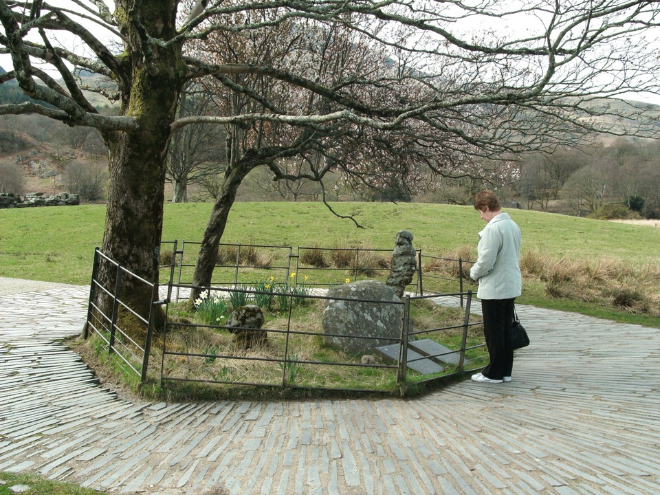 Sight · 0.3 km awayBedd Gelert (Gelert's Grave)A riverside memorial wrapped in Wales' most famous dog legend
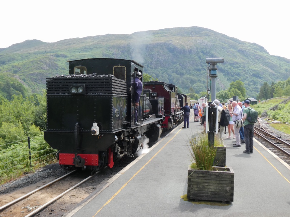 Sight · 0.4 km awayWelsh Highland RailwaySteam, mountain scenery, and a historic ride through Eryri
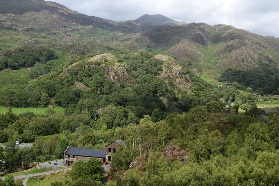 Sight · 1.5 km awaySygun Copper MineVictorian mine tunnels climb to a surprise mountain panorama
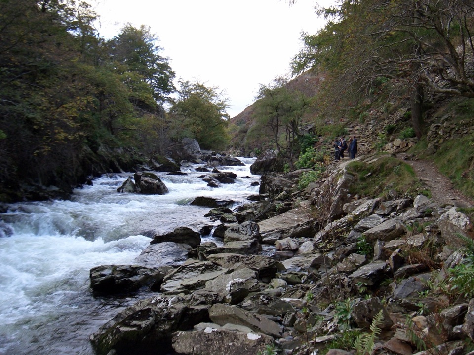 Sight · 1.9 km awayAberglaslyn PassA rushing river threading a dramatic wooded gorge
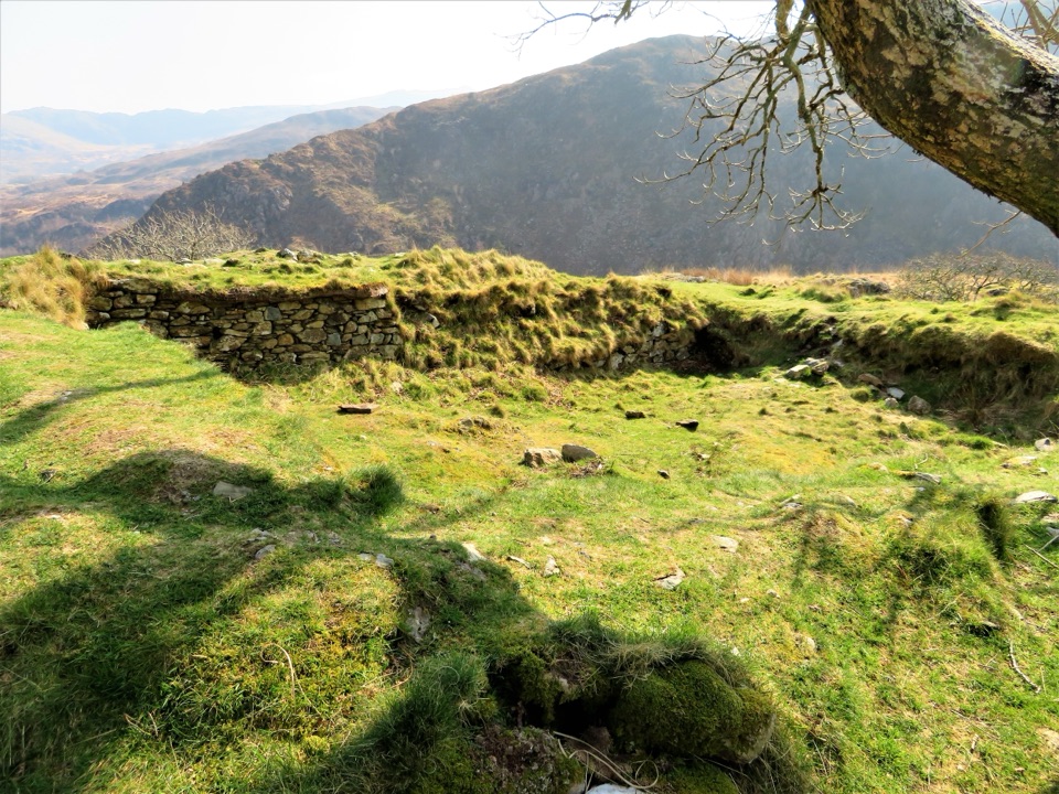 Sight · 1.9 km awayDinas EmrysA dragon legend, hillfort ruins, and a big Nant Gwynant view
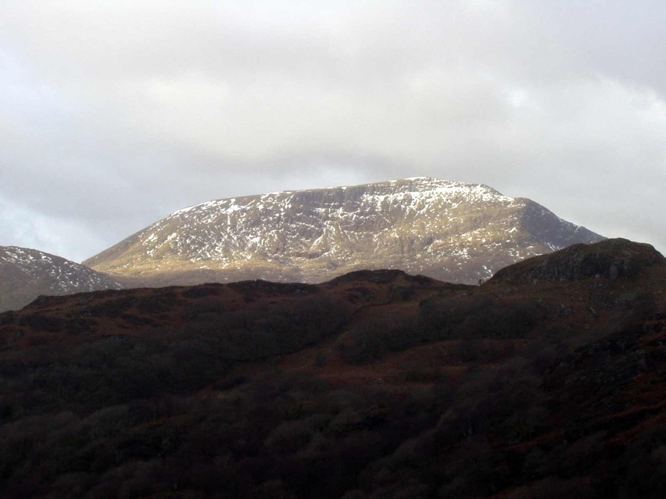 Sight · 2.9 km awayMoel HebogA proud 783-metre summit with sweeping views across the ridges
Parkwolf’s Eryri ranking

The audio tour guide for the drive, plus offline maps, trails, and wildlife heatmaps for when the signal drops.



