Overview
About Dinas Emrys
Why stop
- Merlin-and-dragons folklore gives the climb real character
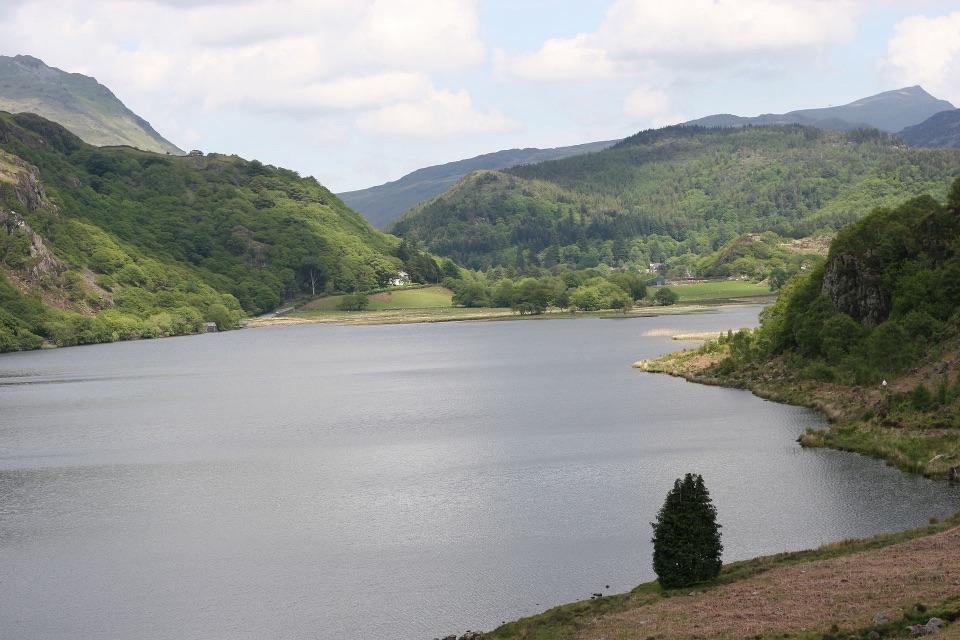
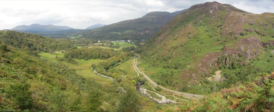
- Wide views over Llyn Dinas and Nant Gwynant
Heads up
- Steep, rocky final section can be awkward when wet
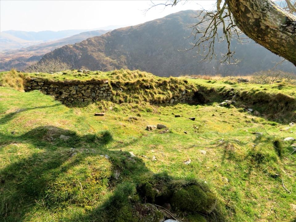
- The summit ruins are subtle rather than a complete castle
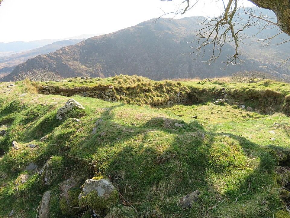
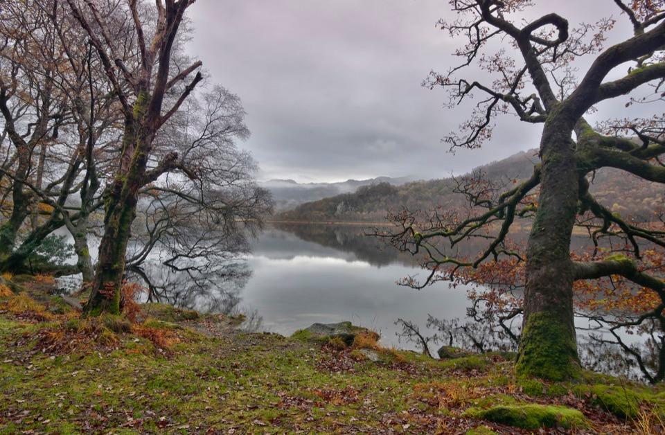
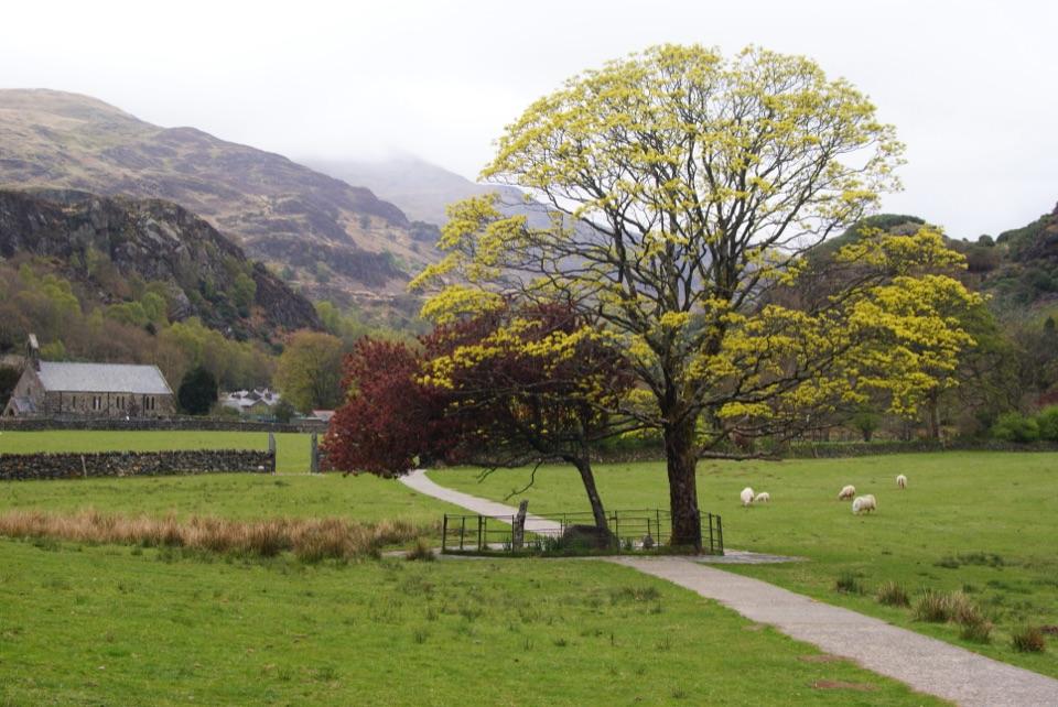
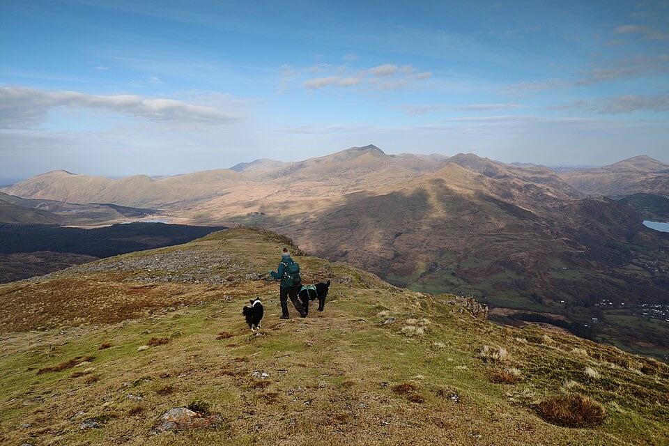
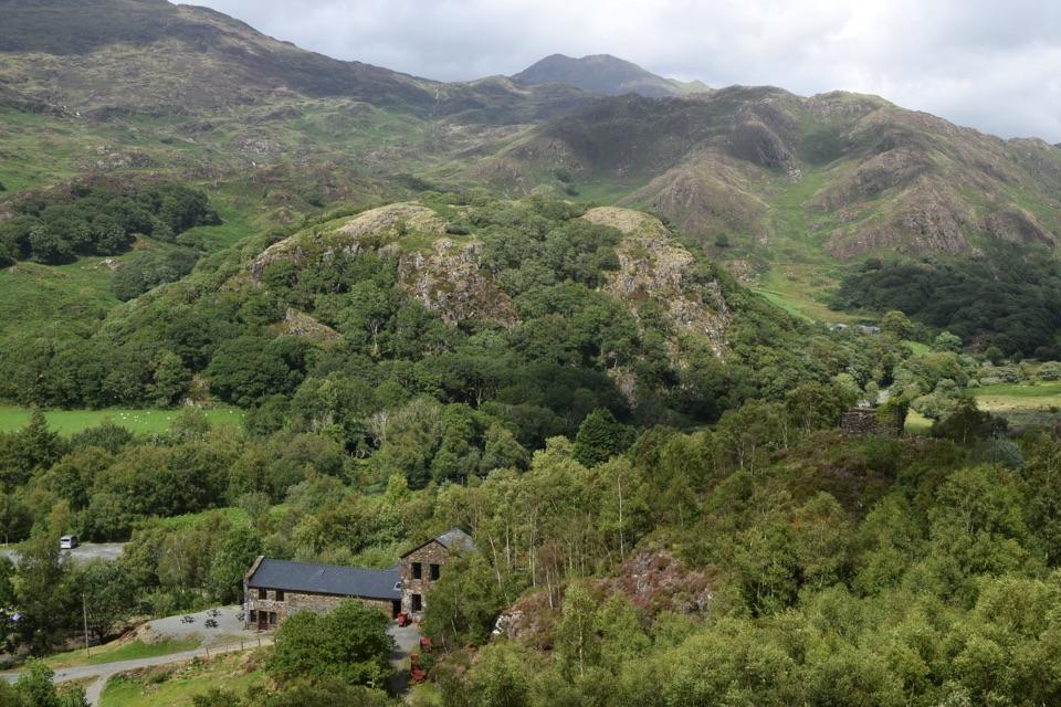
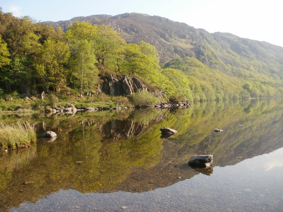
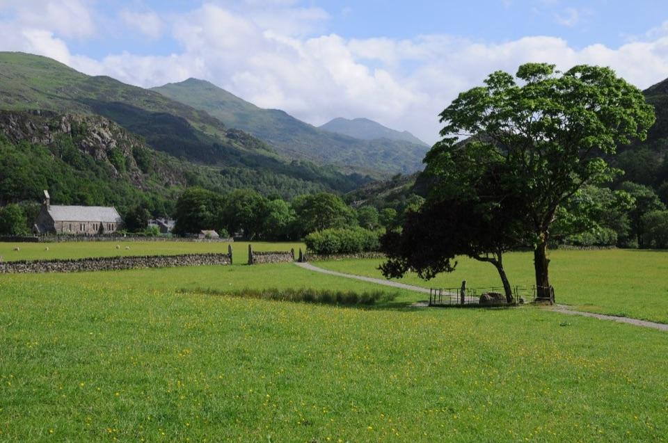
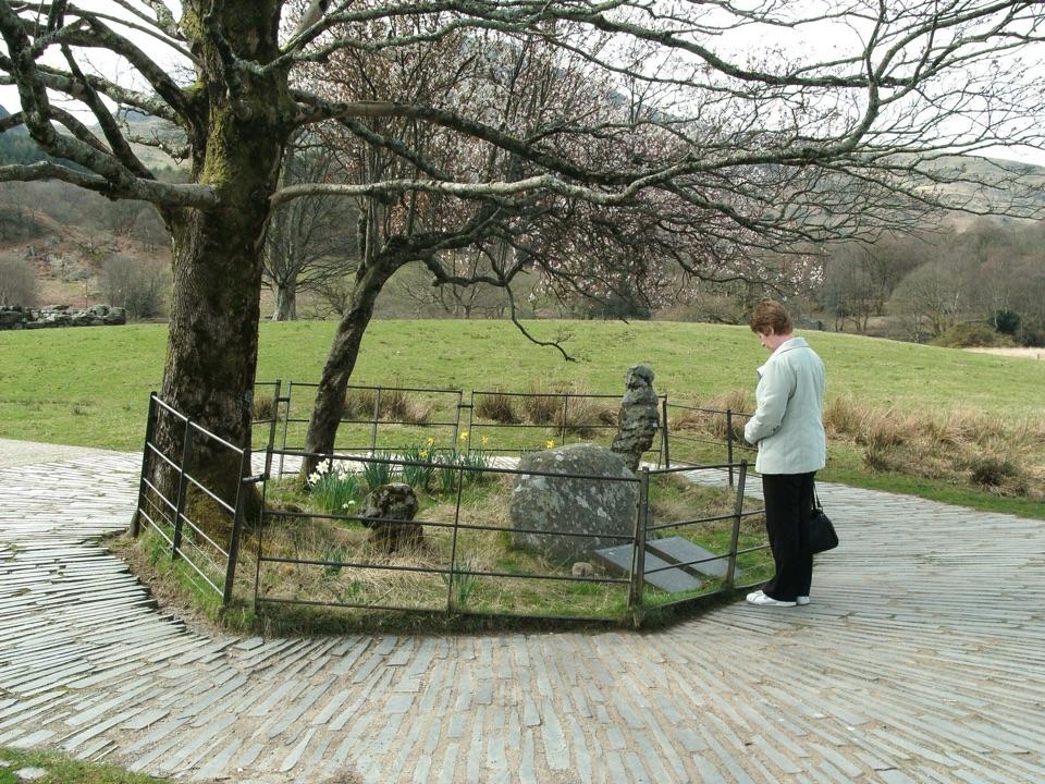
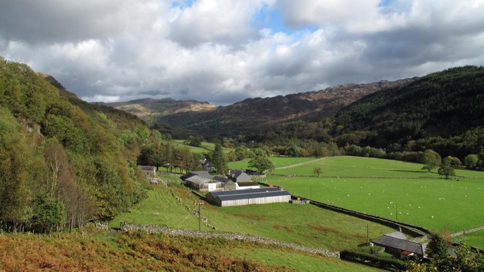
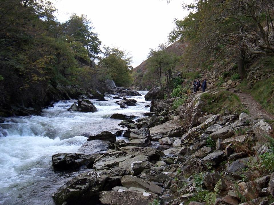
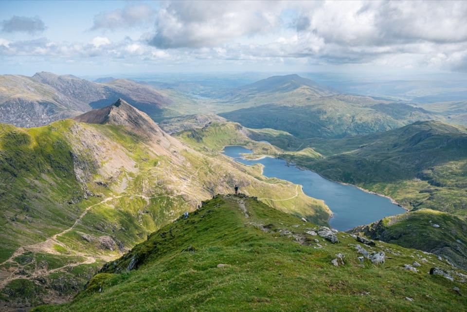
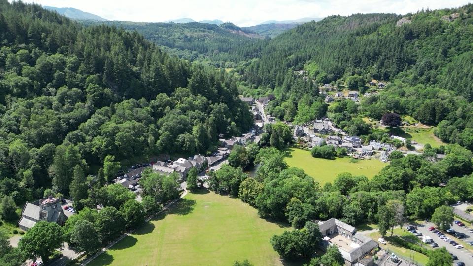
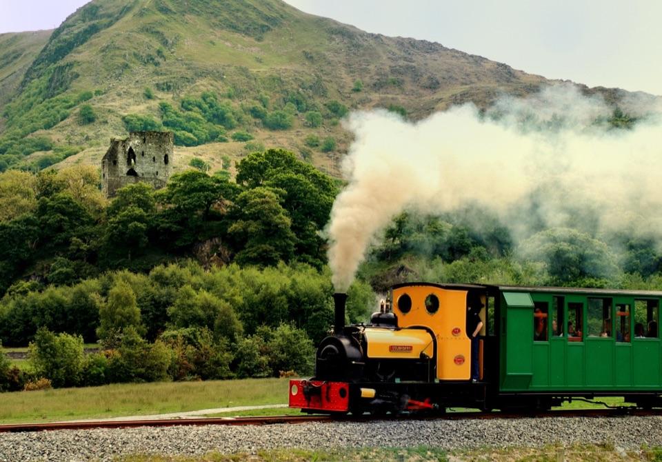
Dinas Emrys is a small, wooded hillfort with an outsized place in Welsh legend. The summit holds the remains of a square tower and defensive ramparts, while the climb opens onto views of Llyn Dinas and Nant Gwynant. The route also passes waterfalls, oak woodland, a dragon bench, and the spot known as Merlin's Pool.
 Parkwolf’s verdictWhy stop
Map
Where it is

The highest, rockiest slopes around here are a summer buffet for grizzly bears.
Eryri Tour Guide
Your drive to Dinas Emrys, narrated.
Parkwolf is a GPS audio tour guide for Eryri National Park. As you drive, it chimes in with what’s ahead: hidden gems, upcoming stops, history, geology, and wildlife, right through your car’s speakers.
See the Eryri audio tourRecorded for this place
Dinas Emrys from Craflwyn“You're approaching Craflwyn, the start of the walk to Dinas Emrys, a wooded hillfort tied to Wales's red dragon.”
Plays as you drive up to Dinas Emrys in the Parkwolf Eryri Tour Guide.
More stories near here in the app
- Pots from Across the Sea
- Sygun Copper Mine
- Llyn Dinas by the Glaslyn
- Beddgelert Village and Gelert’s Grave
- 298 audio storiesacross Eryri’s roads, triggered by GPS as you drive
- Wildlife heatmapsfor Grey Heron, European Badger, Tawny Owl, and 10 more
- Works offlinemaps, 122 trails, 84 places, and audio download before you lose signal
- CarPlay readysimple controls built for the drive
“Fantastic app with many points of information… It’s great to just turn on while you’re driving and it gives you an audio tour of the national Park. We love it!!!!”


Guide
More about Dinas Emrys
The story and the stonesThe tale says that King Vortigern's castle walls kept collapsing until the young Merlin…
The tale says that King Vortigern's castle walls kept collapsing until the young Merlin revealed two dragons beneath the hill. The red dragon defeated the white one, and Dinas Emrys became part of the story behind Wales's national symbol. That is legend, but the hill has real archaeology: an excavation found a lake and a repeatedly rebuilt fortress linked to the period associated with Vortigern.
Walk detailsStart at the Craflwyn car park, about a mile outside Beddgelert, and follow the marked route to…
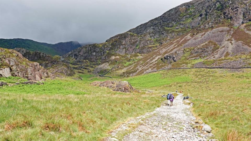
Start at the Craflwyn car park, about a mile outside Beddgelert, and follow the marked route to the summit. The out-and-back walk is about 2.2 miles (3.5 km) and usually takes 1½ to 2½ hours. It is mostly a gentle uphill walk, but the final approach becomes steep and rocky, with uneven ground, steps, and stiles along the way. One rocky section is particularly awkward when wet, and muddy patches are common after rain.
Dogs are welcome on leads. Toilets and the practical parking are at the Craflwyn starting point, not on the hilltop, not on the hilltop. The summit ruins are fragmentary rather than a complete castle.
Wildlife
Wildlife in Eryri
 80 sightingsGrey HeronMost seen around 7 AMSighting map
 10 sightingsEuropean BadgerMost seen around 8 PMSighting map
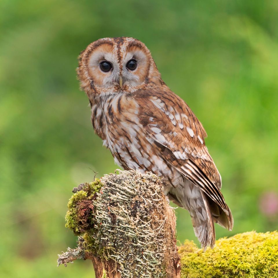 17 sightingsTawny OwlMost seen around 6 AMSighting map
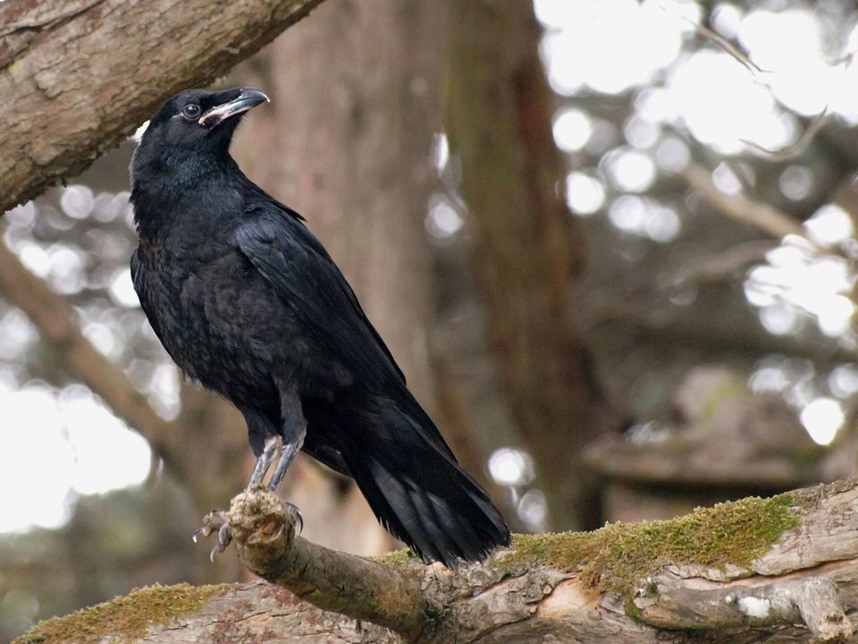 36 sightingsCommon RavenMost seen around 8 AMSighting map
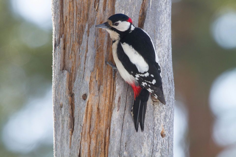 21 sightingsGreat Spotted WoodpeckerMost seen around 7 AMSighting map
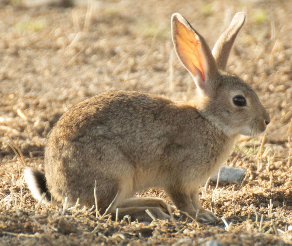 18 sightingsEuropean RabbitMost seen around 7 AMSighting map
Sighting maps show where each species has been reported across Eryri. Wildlife moves, so no sighting is guaranteed.