Moelwyn Mawr in Eryri National Park

Sight · Eryri National Park

Moelwyn Mawr

A quiet 770-metre summit above slate country and sweeping views

Photo: Wikimedia Commons
Type
Sight
Nearest trail
2.5 km
Audio stories
3 nearby

Hear the audio tour

Cwmorthin Slate Quarry

Overview

About Moelwyn Mawr

Why stop

  • Wide views from a quiet summit ridge
  • Slate quarry history gives the hike a real sense of place

Heads up

  • Long, rough approach with faint paths and boggy ground
  • Cloud and wind can erase the views quickly
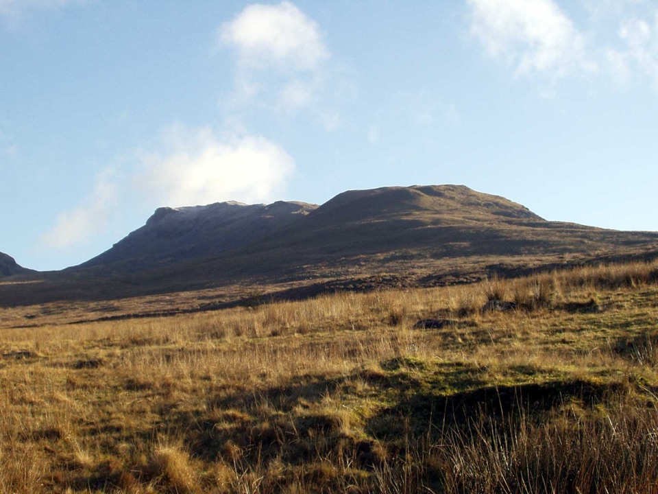
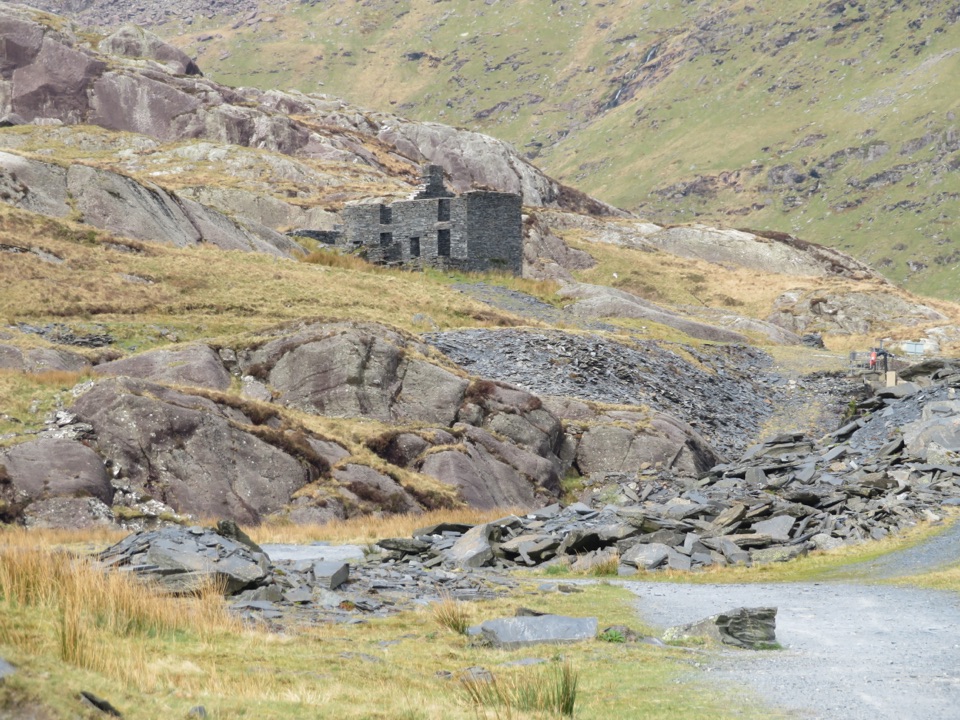
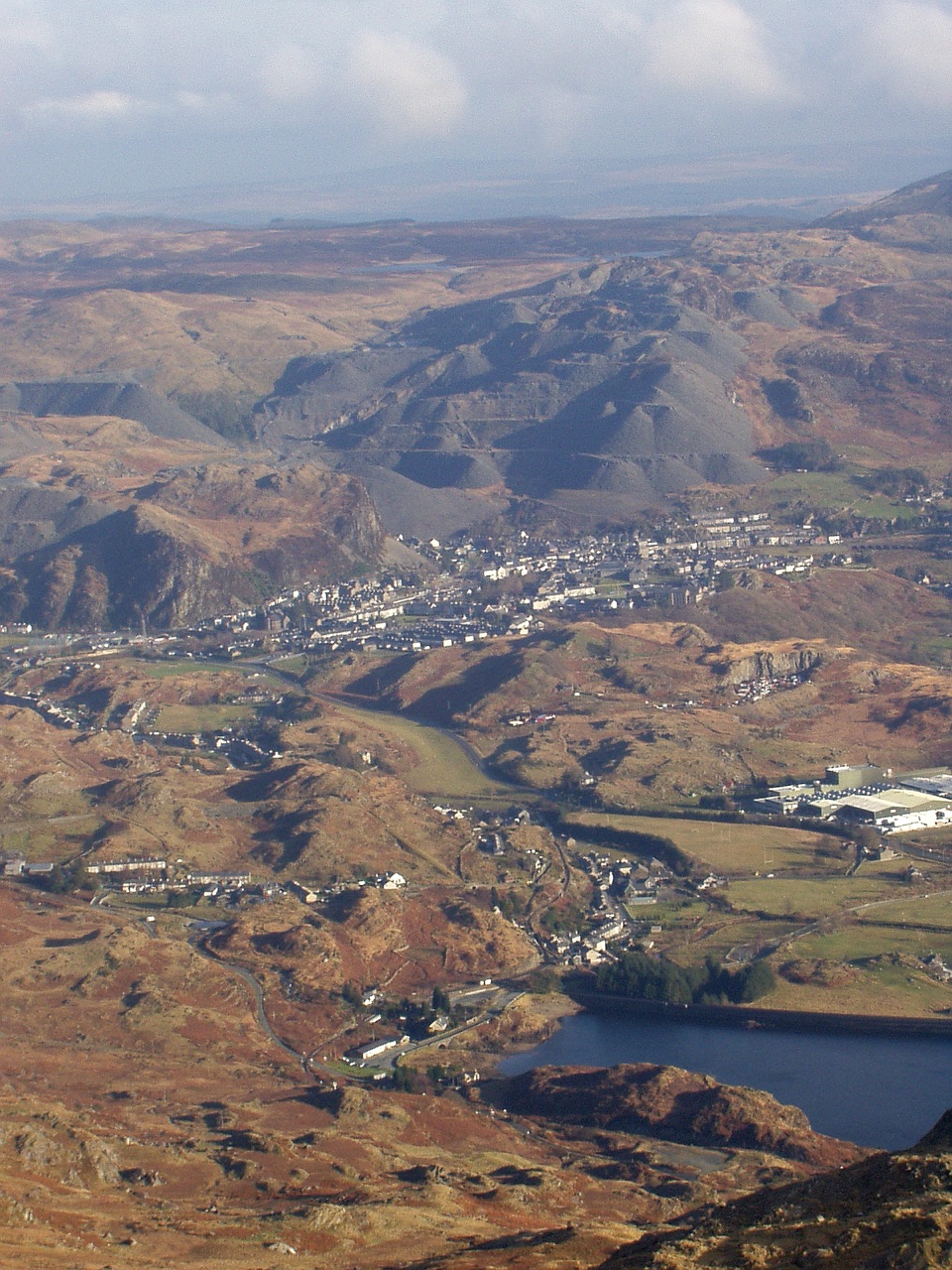
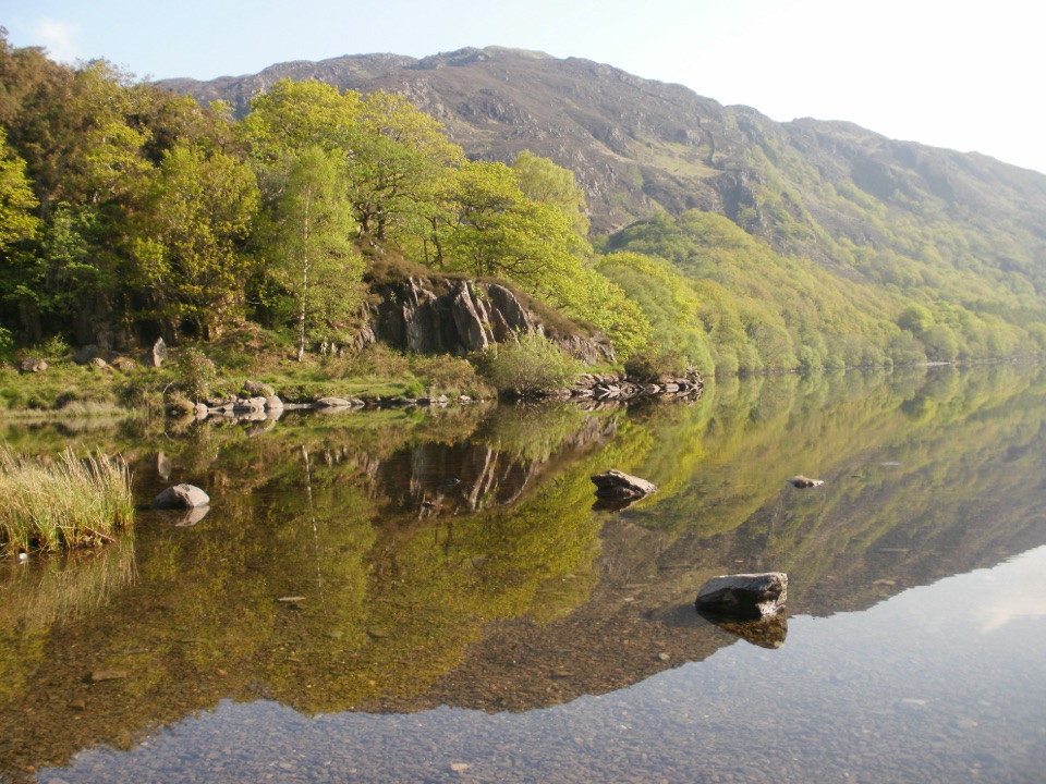
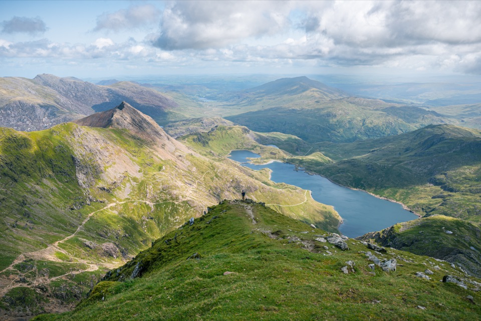
Moelwyn Mawr is a 770-metre summit in the Moelwynion range, with a broad, rocky ridge and a genuinely wide outlook. On a clear day you can pick out the Vale of Ffestiniog, the coast of North Wales, Cnicht, and the higher mountains around Yr Wyddfa. It is a good choice when you want a real mountain day without the foot traffic of Eryri's marquee summits.
Parkwolf’s verdictWhy go

Map

Where it is

Loading the Eryri map
Full map
SightMoelwyn Mawr52.98421, -4.00019
Keep this map with you offline in the Parkwolf app

Plan your stop

Before you go

Best time to go

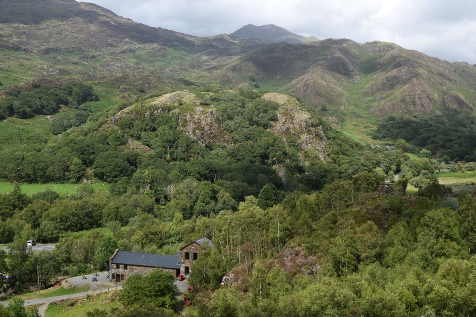
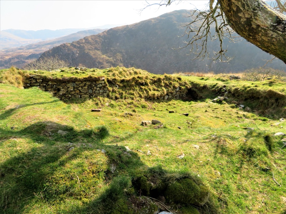
The mountain sits in a landscape shaped by glaciation and slate quarrying. Its rough summit ridge and scree are part of the area’s designated scientific interest, while the old workings below show how intensely the upper valleys were once used. That mix of exposed geology, industrial traces, and long views is the reason to choose this summit over a simpler hill walk.

Go on a clear, settled day for the best chance of seeing the coast and the Snowdon massif. Early starts or weekdays should feel quieter, but the summit is exposed and cloud can arrive quickly. Treat the forecast as a planning aid rather than a guarantee.


A park ranger sits on a dash-mounted phone, talking, as Parkwolf’s Tour Guide plays “Army Cutworm Moths: A Grizzly Bear Buffet” on Grand Loop Road below Dunraven Pass in Yellowstone
Parkwolf Tour GuideThe highest, rockiest slopes around here are a summer buffet for grizzly bears.

Eryri Tour Guide

Your drive to Moelwyn Mawr, narrated.

Parkwolf is a GPS audio tour guide for Eryri National Park. As you drive, it chimes in with what’s ahead: hidden gems, upcoming stops, history, geology, and wildlife, right through your car’s speakers.

Recorded for this place

Cwmorthin Slate Quarry
0:00 / 0:32
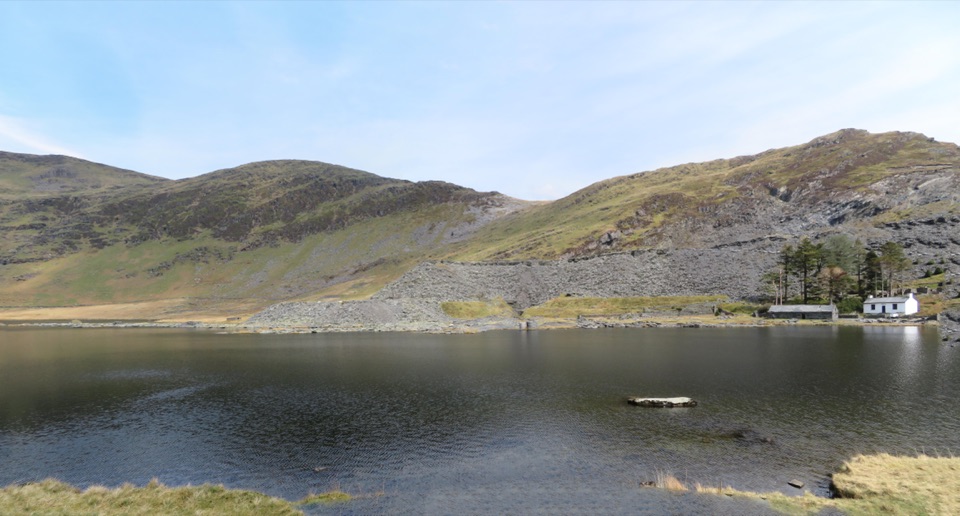
“You're approaching the Cwmorthin walk above Tanygrisiau, where a steep slate track leads into a high valley of waterfalls, Llyn Cwmorthin and deserted quarry buildings.”

Plays as you drive up to Moelwyn Mawr in the Parkwolf Eryri Tour Guide.

More stories near here in the app

  • Croesor and Cnicht
  • The Quarry Powered by Water
  • The River a Salmon Remembers
  • Llyn Mair and Tan-y-Bwlch Woods
  • 298 audio storiesacross Eryri’s roads, triggered by GPS as you drive
  • Wildlife heatmapsfor Grey Heron, Tawny Owl, Common Raven, and 9 more
  • Works offlinemaps, 120 trails, 82 places, and audio download before you lose signal
  • CarPlay readysimple controls built for the drive
★★★★★
“Fantastic app with many points of information… It’s great to just turn on while you’re driving and it gives you an audio tour of the national Park. We love it!!!!”
JMJamesApp Store review
Download Parkwolf on the App StoreGet Parkwolf on Google Play

4.7 from 8,600+ ratings

Guide

More about Moelwyn Mawr

What the walk is likeThis is a hillwalk, not a roadside viewpoint.

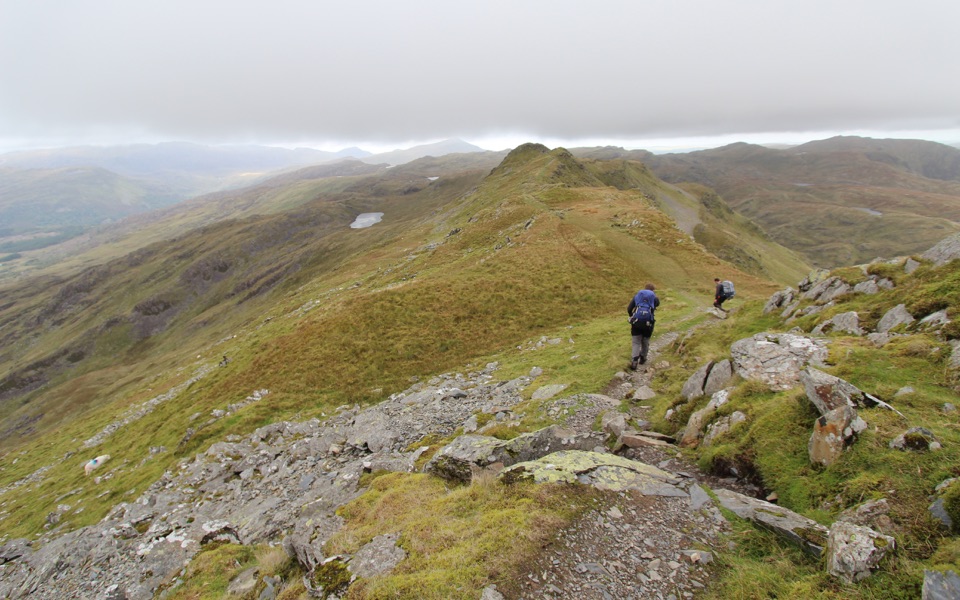
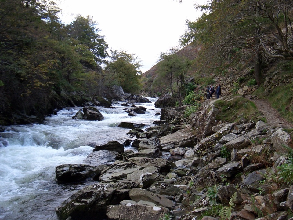
This is a hillwalk, not a roadside viewpoint. A direct route from Croesor village uses old quarry tracks and rough mountain paths to reach the ridge. Typical versions are about 10 km with roughly 700 metres of ascent and take 3–4 hours; longer circuits that add Moelwyn Bach, Rhosydd Quarry, and Cnicht can run to 15–16 km and most of a day. Expect steep, rocky, and sometimes boggy ground, with a short scrambly section around Craigysgafn and limited waymarking.

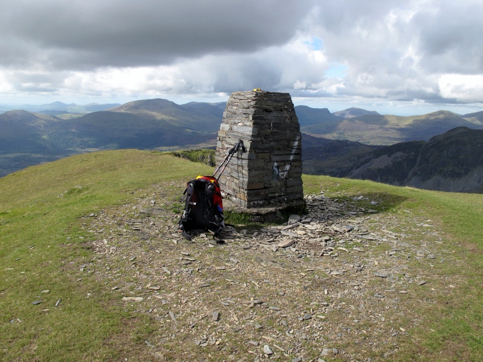
The summit itself is a rewarding place to pause: a slate-built triangulation pillar sits among loose slate and grass, with Llyn Stwlan and the Moelwynion spread around it. The surrounding quarry remains and old tramway approaches give the walk more texture than a bare summit ascent.

Prepare properlyBring a map and compass, and know how to use them. Paths can be faint, especially in mist.
  • Bring a map and compass, and know how to use them. Paths can be faint, especially in mist.
  • Wear hiking boots, waterproofs, and warm spare layers. Carry enough food and water for a full mountain outing.
  • Keep dogs on a lead where the route crosses agricultural land, and use only designated parking in Croesor without blocking homes, field entrances, or narrow roads.
  • This is best for walkers with suitable fitness, navigation skills, and experience on rough upland terrain. Turn around if the conditions or your group’s ability no longer fit the route.

Wildlife

Wildlife in Eryri

All Eryri wildlife maps

Sighting maps show where each species has been reported across Eryri. Wildlife moves, so no sighting is guaranteed.

Keep exploring

Near Moelwyn Mawr

See it all on the map

Trails nearby

More stops nearby

Parkwolf’s Eryri ranking

Top sights in Eryri

All 82 places
  1. 1Yr Wyddfa (Snowdon)Sight
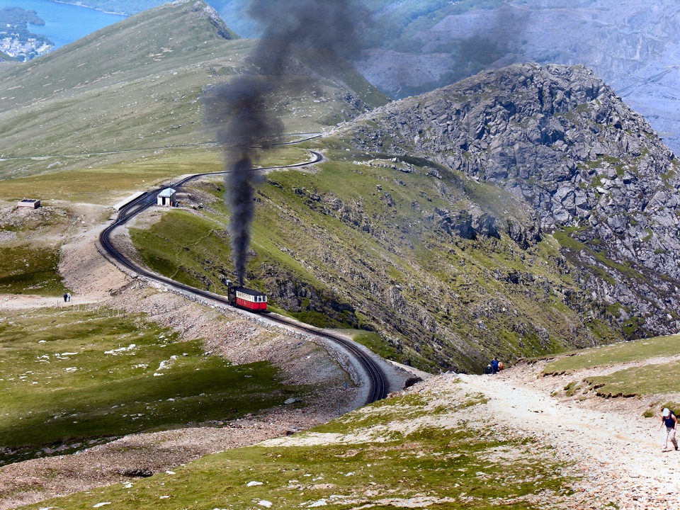
  2. 2Snowdon Mountain RailwaySight
  3. 3Cader IdrisSight
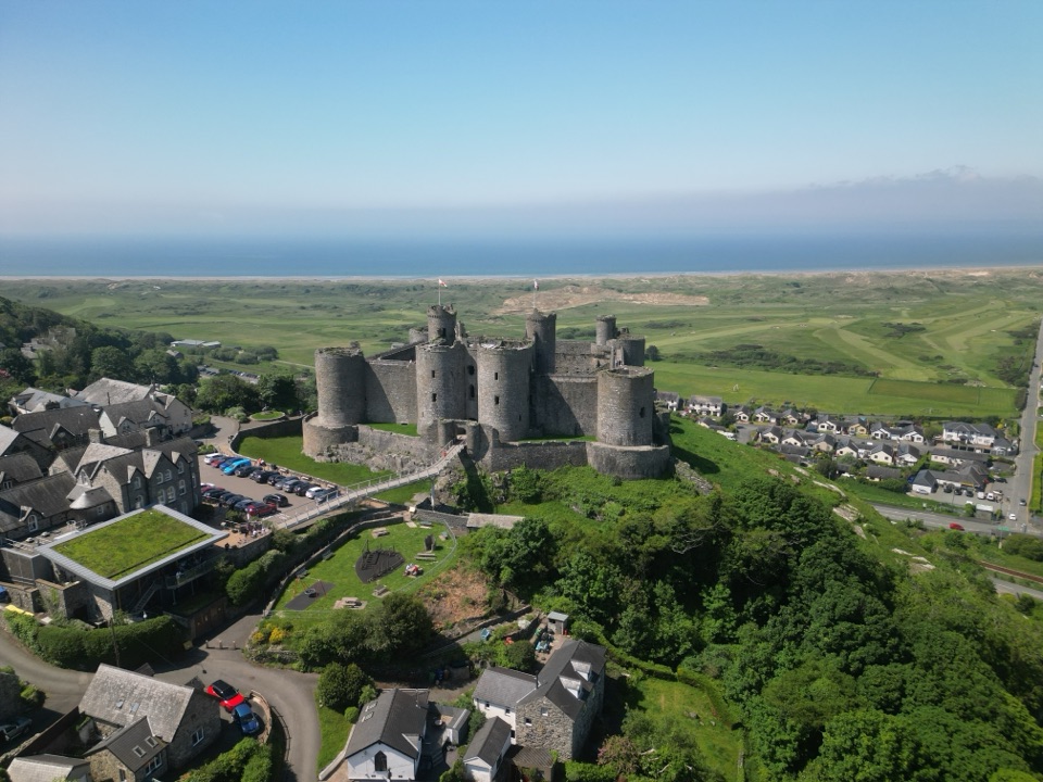
  4. 4Harlech CastleSight
  5. 5Betws-y-CoedSight
  6. 6LlanberisSight

Take Parkwolf to Eryri.

The audio tour guide for the drive, plus offline maps, trails, and wildlife heatmaps for when the signal drops.

4.7 from 8,600+ ratings

Download Parkwolf on the App StoreGet Parkwolf on Google Play