Parking
Start at the designated car park in Croesor village. Use marked spaces only and do not block entrances.
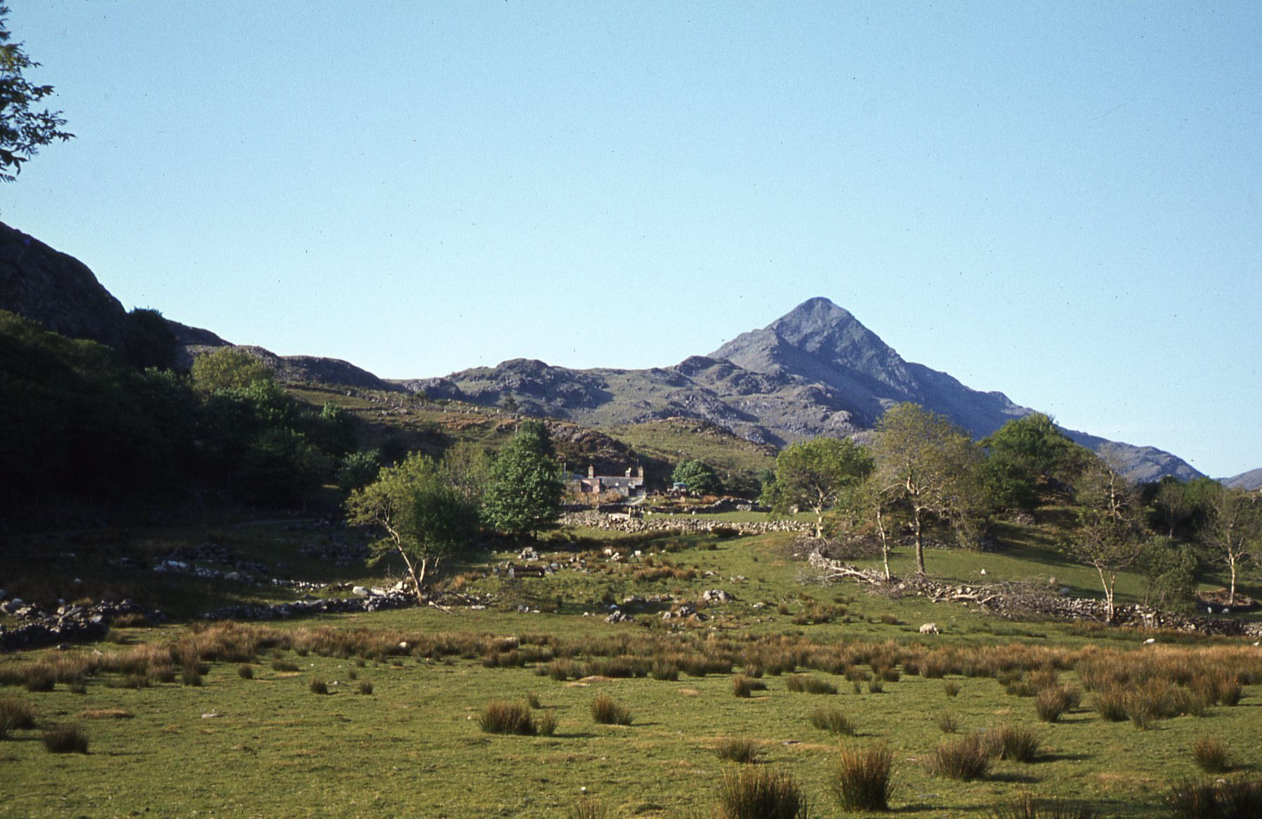
Eryri National Park, WA
A 5.5 km loop under the Welsh Matterhorn, past slate and river
Overview
A circular route of 5.5 km (3.4 miles), starting and finishing at the car park in the village of Croesor, graded moderate and usually given as three hours. The published figure follows the convention that counts the mapped car park approach as the loop closure; the drawn line measures about 5.45 km, so plan on the same three hours either way.
Map & elevation
Plan your hike

The highest, rockiest slopes around here are a summer buffet for grizzly bears.
Eryri Tour Guide
Parkwolf is a GPS audio tour guide for Eryri National Park. As you drive, it chimes in with what’s ahead: hidden gems, upcoming stops, history, geology, and wildlife, right through your car’s speakers.
Recorded for this trailhead
Croesor and Cnicht“You're approaching Croesor, the start for Cnicht, the pointed peak above the village.”
Plays as you drive up to this trailhead in the Parkwolf Eryri Tour Guide.
More stories near here in the app
“Fantastic app with many points of information… It’s great to just turn on while you’re driving and it gives you an audio tour of the national Park. We love it!!!!”


Trail guide
Leave the car park and follow the road to the crossroads, then head downhill toward the cattle grid. Gates and waymarkers lead across track and field toward Park Quarry, where the workings sit above the river. Beyond the quarry you pass slate spoil and a farm track, drop to the concrete bridge over the River Maesgwm, then follow the water down to the A4085, cross the bridge and pass the entrance to Felin Parc. The return begins with the steep concrete track by Tan y Glogwyn, then a footpath past Ty Gelli and uphill through woodland to the ridge, the payoff of the day, with wide views over the valley. From there it is woodland, farm tracks by Garth y Foel and Cae-glas, and the road back into Croesor.
The shape is a long descent followed by a sustained climb. From about 155 m at the village the ground rises briefly to roughly 190 m, then loses close to 180 m to the valley floor near 15 m, before regaining around 145 m to the ridge and back to Croesor. Several sections are wet underfoot, and the path past the quarry remains carries a steep slope toward the river, so keep well to the inside line with children or dogs. The concrete track on the return is short but steeply graded. There is also a brief stretch beside the busy A4085, where walking single file and crossing at the bridge is the sensible approach.
Cnicht, known as the Welsh Matterhorn, is the defining view from Croesor and sets the scene for the whole circuit. The walk strings together upland valley, river, woodland, fields, slate spoil and quarry remains in a small distance. The shapes are glacial: harder igneous intrusions stand up as Cnicht and Moelwyn Mawr, while softer Ordovician sedimentary rock has been worn down around them. The human layer is just as visible, since Croesor and nearby Rhosydd quarries built the village, Croesor Quarry opening around 1856 and the Croesor Tramway serving the workings. Expect mixed woodland and grazing land along the way, with livestock in the fields the path crosses.
Use designated parking only and never block entrances. The circuit follows public footpaths and permissive paths across agricultural land, so keep dogs on a lead, use the gates provided and follow the waymarkers. For navigation, the route sits on Explorer sheet OL18, covering Harlech, Porthmadog and Bala.
Wildlife
 77 sightingsGrey HeronMost seen around 7 AMSighting map
 17 sightingsTawny OwlMost seen around 6 AMSighting map
 32 sightingsCommon RavenMost seen around 8 AMSighting map
 21 sightingsGreat Spotted WoodpeckerMost seen around 7 AMSighting map
 18 sightingsEuropean RabbitMost seen around 7 AMSighting map
 161 sightingsViviparous LizardMost seen around 10 AMSighting map
Sighting maps show where each species has been reported across Eryri. Wildlife moves, so no sighting is guaranteed.
Keep exploring
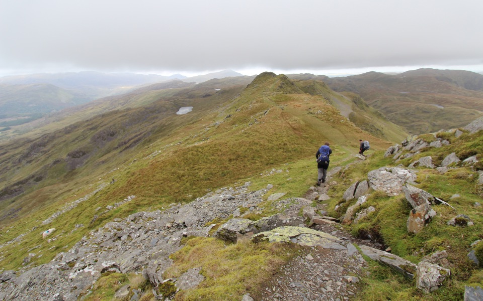 ChallengingCnicht from Croesor8.7 km · 3.5 hr · At the trailheadSharp ridge summit loop above Cwm Croesor, with slate country below
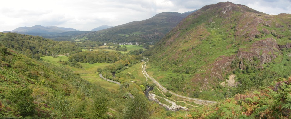 ChallengingAberglaslyn, Bryn Du and Beddgelert Walk5.6 km · 2 hr · 3.7 km awaySteep woodland climb to Bryn Du, then Gelert's grave and river paths
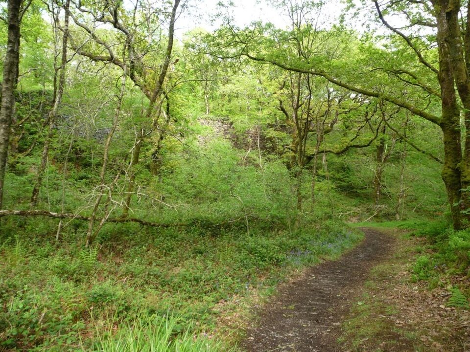 EasyStation Link Walk0.6 km · 30 min · 3.9 km awayBrief oak woodland climb linking the car park to Tan-y-Bwlch station
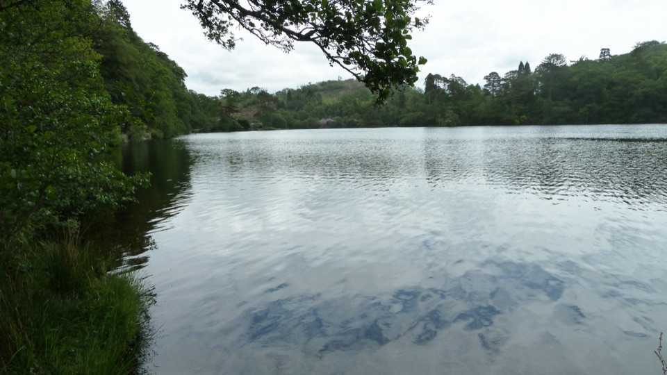 EasyDyffryn Maentwrog Woods and Llyn Mair Path3 km · 1 hr · 4.7 km awayGentle hour circuit to a wooded lake, small dam and picnic glades
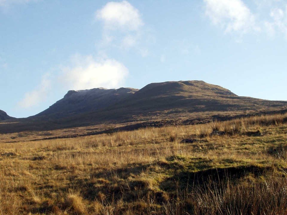 ChallengingMoelwyn Mawr and Moelwyn Bach Circular10.1 km · 5 hr · 5.2 km awayTwo rugged summits above slate ruins, quarry lakes and coastal views
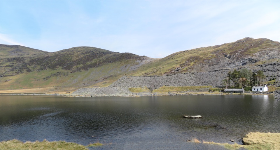 ModerateCwmorthin and Rhosydd Quarry Walk5.3 km · 2.3 hr · 5.2 km awaySlate ruins, a dark lake and remote quarry workings above the valley
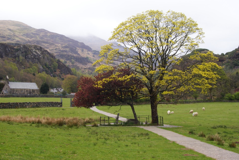 EasyGelert's Grave Walk2.1 km · 45 min · 5.3 km awayShort riverside loop to Gelert's stone memorial, with herons and dippers
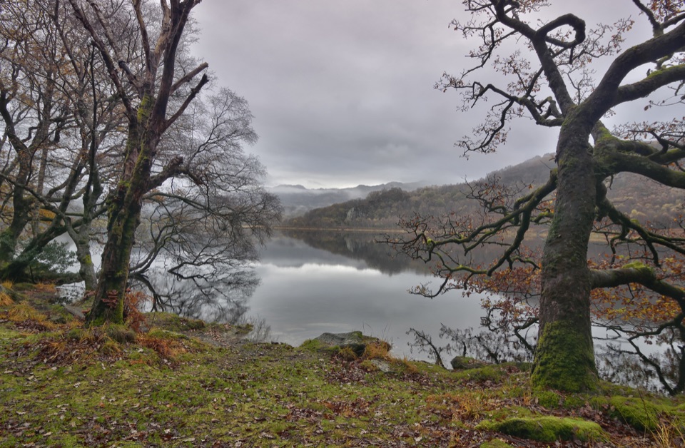 ModerateCraflwyn, Hafod y Llan and Llyn Dinas Walk10.5 km · 3.5 hr · 5.3 km awayOak woods, waterfalls and open heath on a loop to Llyn Dinas
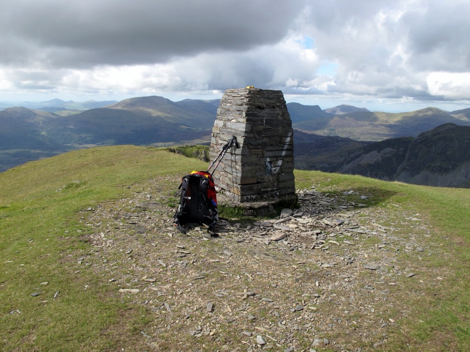 Sight · 2.7 km awayMoelwyn MawrA quiet 770-metre summit above slate country and sweeping views
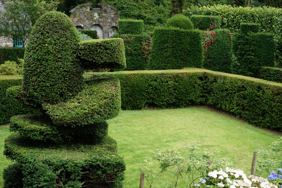 Sight · 2.9 km awayPlas Brondanw GardensTopiary, turquoise details, and mountain views in a garden of rooms
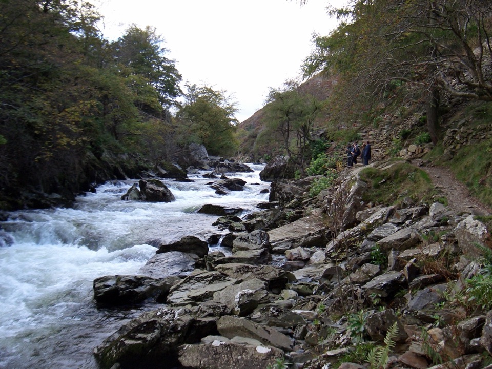 Sight · 4 km awayAberglaslyn PassA rushing river threading a dramatic wooded gorge
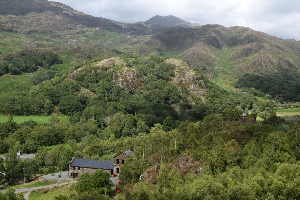 Sight · 4.9 km awaySygun Copper MineVictorian mine tunnels climb to a surprise mountain panorama
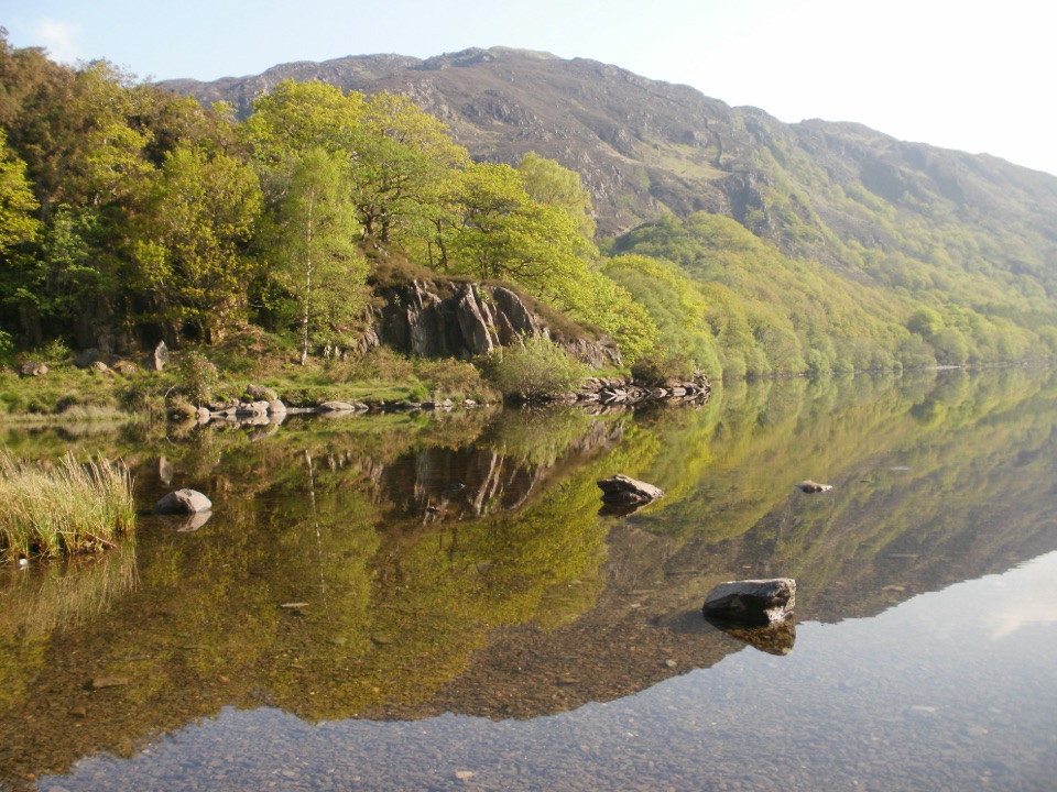 Sight · 5.1 km awayLlyn DinasMirror-calm Glaslyn water beneath the dragon-legend hill of Dinas Emrys
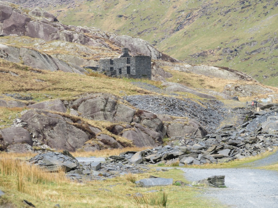 Sight · 5.1 km awayCwmorthin Slate QuarrySlate ruins, a mountain lake, and a steep path into industrial history
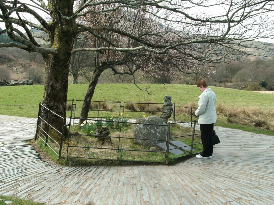 Sight · 5.1 km awayBedd Gelert (Gelert's Grave)A riverside memorial wrapped in Wales' most famous dog legend
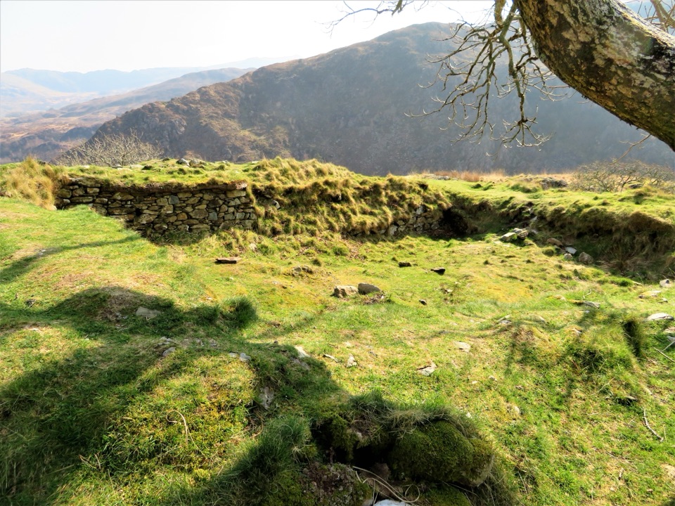 Sight · 5.2 km awayDinas EmrysA dragon legend, hillfort ruins, and a big Nant Gwynant view
Parkwolf’s Eryri ranking

The audio tour guide for the drive, plus offline maps, trails, and wildlife heatmaps for when the signal drops.




