Parking
Use the small Cwmorthin car park on Cwmorthin Road near Tanygrisiau. The approach is narrow; park considerately without blocking the road, track or passing places.
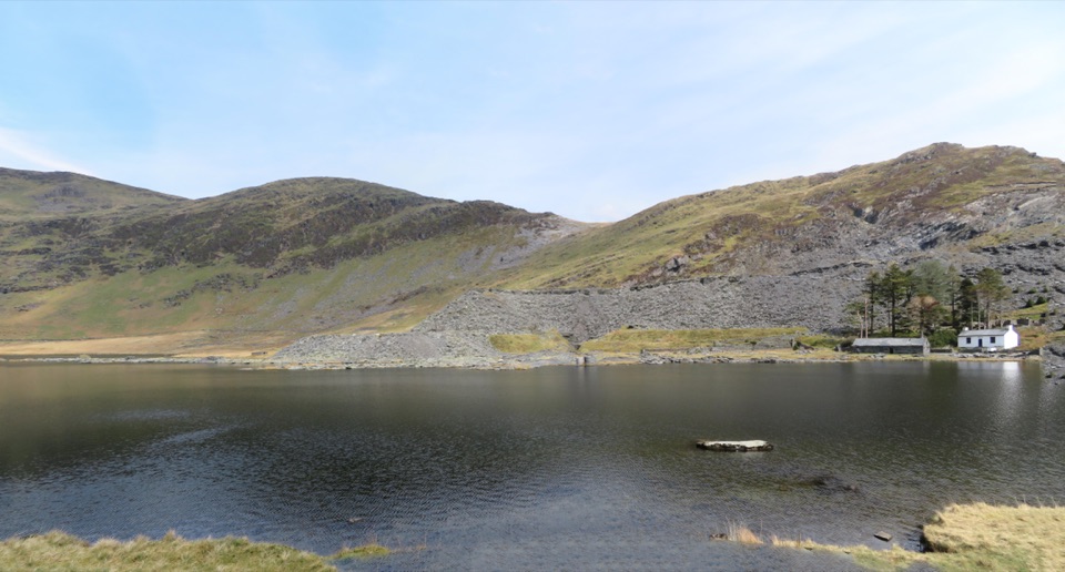
Eryri National Park, WA
Slate ruins, a dark lake and remote quarry workings above the valley
Overview
The walk begins with a steep pull away from the car park, then settles into steady uphill walking on a slate track and an old tramway line beside the Cwmorthin valley. You pass along Llyn Cwmorthin, with mountain walls rising on both sides, then reach the scatter of quarry buildings and the ruined chapel and settlement area. From there the route continues to the higher Rhosydd workings and barracks, a remote and open industrial landscape of spoil, roofless walls and stone shells.
 Parkwolf’s verdictThe way up and the payoff
Map & elevation
Plan your hike

The highest, rockiest slopes around here are a summer buffet for grizzly bears.
Eryri Tour Guide
Parkwolf is a GPS audio tour guide for Eryri National Park. As you drive, it chimes in with what’s ahead: hidden gems, upcoming stops, history, geology, and wildlife, right through your car’s speakers.
Recorded for this trailhead
Cwmorthin Slate Quarry“You're approaching the Cwmorthin walk above Tanygrisiau, where a steep slate track leads into a high valley of waterfalls, Llyn Cwmorthin and deserted quarry buildings.”
Plays as you drive up to this trailhead in the Parkwolf Eryri Tour Guide.
More stories near here in the app
“Fantastic app with many points of information… It’s great to just turn on while you’re driving and it gives you an audio tour of the national Park. We love it!!!!”


Trail guide
This is an out-and-back walk from the small Cwmorthin car park on Cwmorthin Road near Tanygrisiau up to the Rhosydd Quarry and barracks area, returning along the same corridor. Total distance is about 3.3 miles / 5.3 km round trip, since the valley track is walked in both directions. Allow around 2 hours 15 minutes, or 2 to 2.5 hours with stops.
Rated moderate. The climb is substantial, from roughly 277 m at the start to about 446 m at the far end, with rolling ground in between, though this is not a summit route. Expect rough slate track, loose rock, wet patches and uneven path, especially near the workings. Wear boots or shoes with good grip and take the descent slowly, since slate underfoot can be slippery.
The disused quarry buildings, levels and workings are dangerous and must not be entered. Keep well clear of unstable edges, shafts, spoil slopes and standing water. Higher up, the ground is more open and the return line can be hard to pick out in mist, so note your route as you go and turn back rather than guess. Follow any signs and landowner instructions on the ground; a quarry or destination being listed on a map is not permission to explore it.
Parking is at a small free area at the start, and the approach road is narrow, so arrive early and park considerately without blocking the track or passing places. The valley walk uses tracks, gates and waymarked sections, with an old tramway forming much of the line.
Dogs are allowed on public footpaths and open access land here but must be kept under close control. Use a short lead near livestock and wildlife, and a lead no longer than 2 m on open access land from 1 March to 31 July.
Wildlife
 77 sightingsGrey HeronMost seen around 7 AMSighting map
 17 sightingsTawny OwlMost seen around 6 AMSighting map
 32 sightingsCommon RavenMost seen around 8 AMSighting map
 21 sightingsGreat Spotted WoodpeckerMost seen around 7 AMSighting map
 18 sightingsEuropean RabbitMost seen around 7 AMSighting map
 161 sightingsViviparous LizardMost seen around 10 AMSighting map
Sighting maps show where each species has been reported across Eryri. Wildlife moves, so no sighting is guaranteed.
Keep exploring
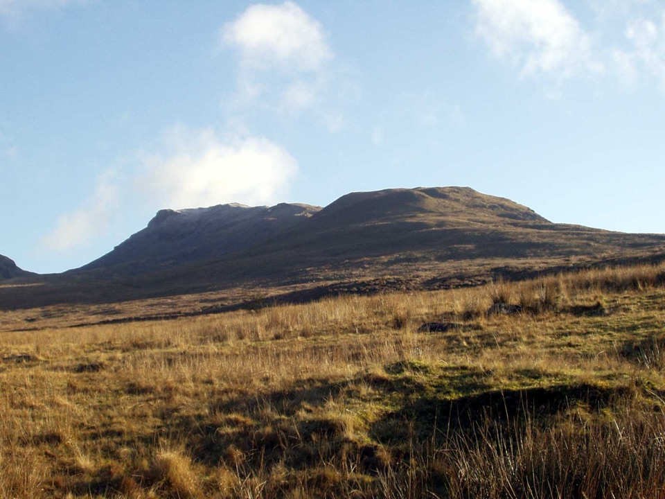 ChallengingMoelwyn Mawr and Moelwyn Bach Circular10.1 km · 5 hr · At the trailheadTwo rugged summits above slate ruins, quarry lakes and coastal views
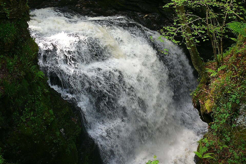 ChallengingRhaeadr Cynfal Waterfall Walk2.3 km · 1 hr · 3.9 km awayShort, steep out-and-back to a Victorian platform above a mossy gorge
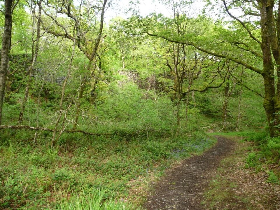 EasyStation Link Walk0.6 km · 30 min · 5.1 km awayBrief oak woodland climb linking the car park to Tan-y-Bwlch station
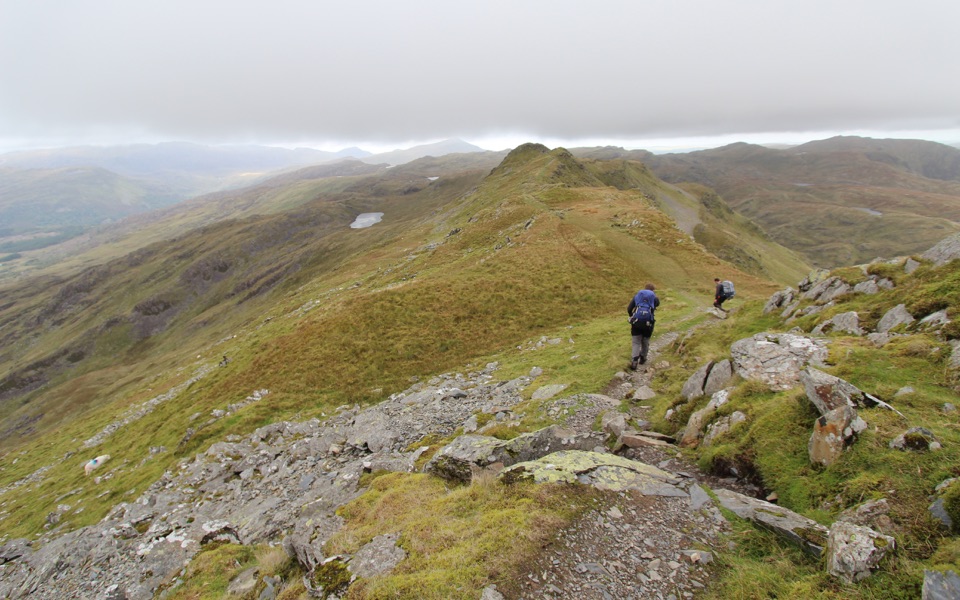 ChallengingCnicht from Croesor8.7 km · 3.5 hr · 5.2 km awaySharp ridge summit loop above Cwm Croesor, with slate country below
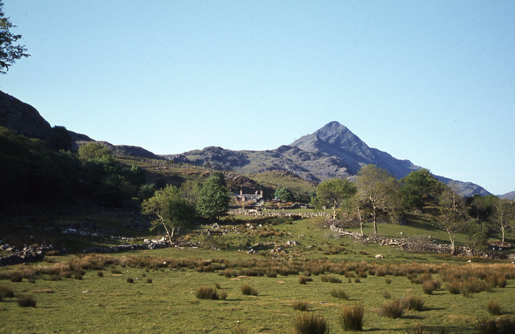 ModerateCroesor Circular5.5 km · 3 hr · 5.2 km awayA 5.5 km loop under the Welsh Matterhorn, past slate and river
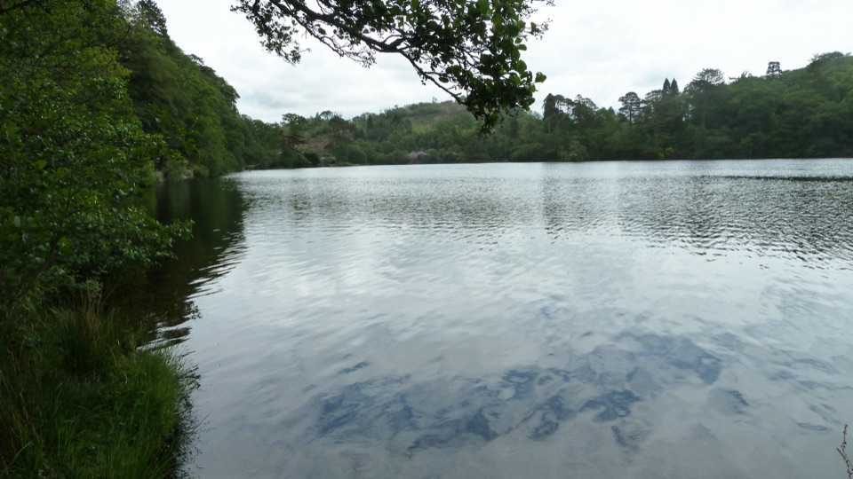 EasyDyffryn Maentwrog Woods and Llyn Mair Path3 km · 1 hr · 5.3 km awayGentle hour circuit to a wooded lake, small dam and picnic glades
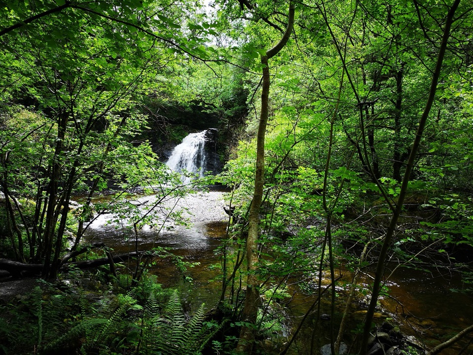 ChallengingRhaeadr Ddu Waterfall Walk (Ceunant Llennyrch)1.6 km · 1 hr · 6.4 km awaySteep mossy oakwood loop down to a hidden waterfall and ravine
 ChallengingWatkin Path12.9 km · 6 hr · 7.6 km awayWaterfalls, slate ruins and a brutally steep finish to Yr Wyddfa's summit
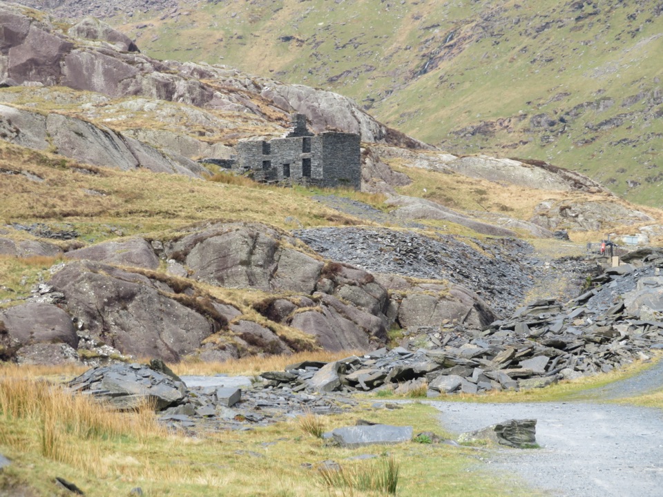 Sight · 0.6 km awayCwmorthin Slate QuarrySlate ruins, a mountain lake, and a steep path into industrial history
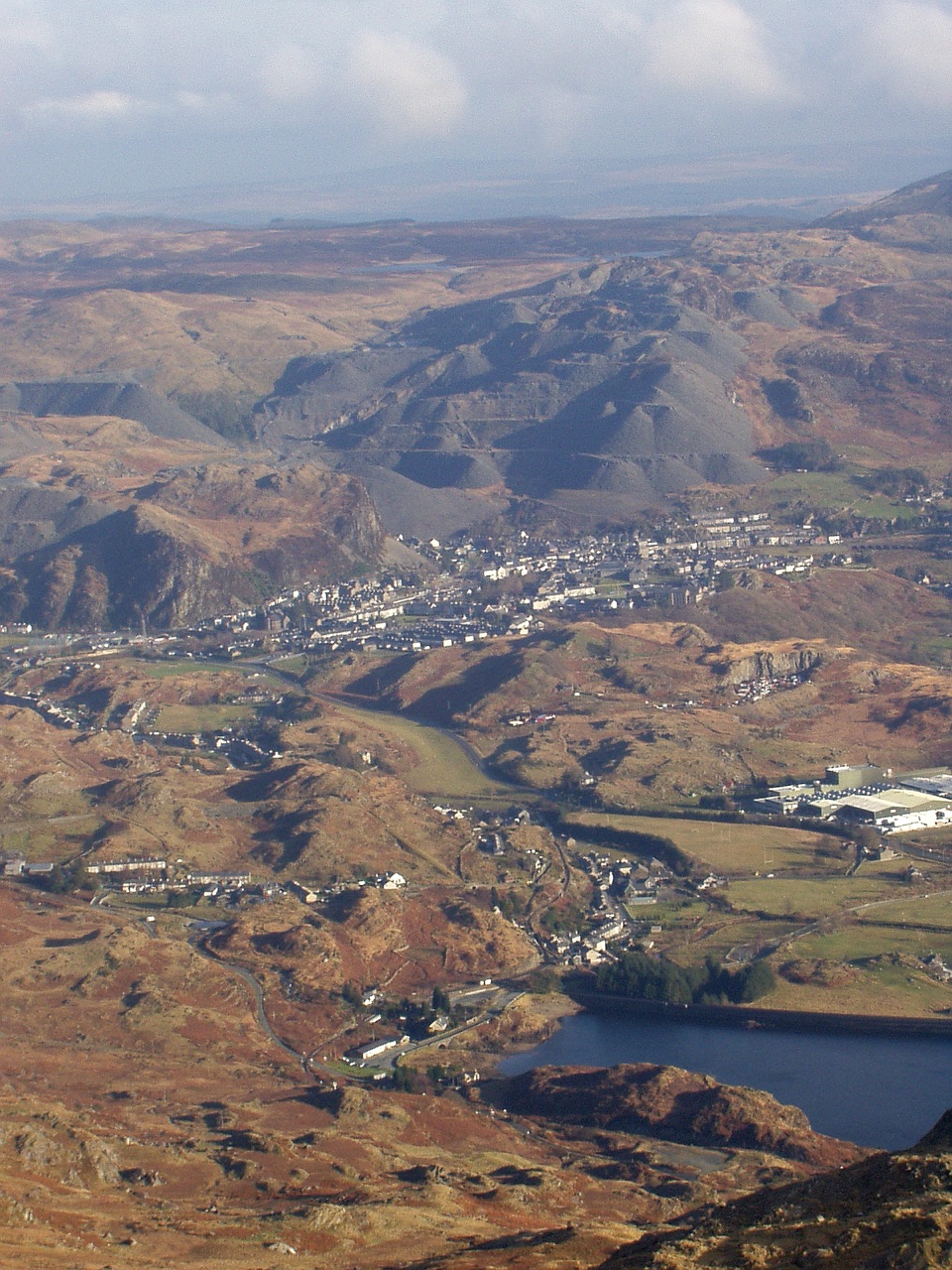 Sight · 1.9 km awayBlaenau FfestiniogSlate-built streets beneath the quarry scars of the Moelwynion
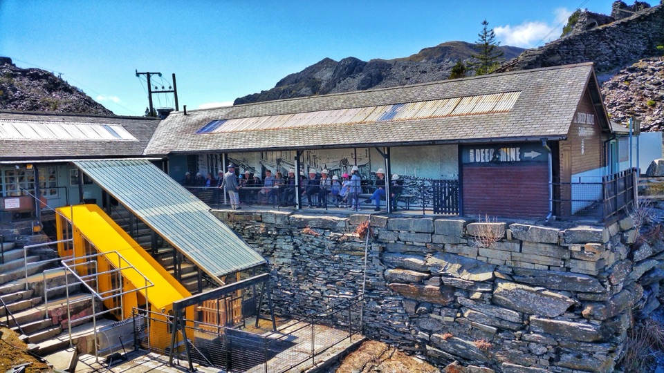 Sight · 2.3 km awayZip World LlechweddSlate mines turned into a full day of underground adventure
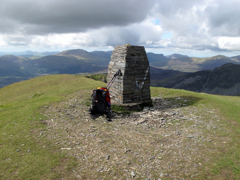 Sight · 2.5 km awayMoelwyn MawrA quiet 770-metre summit above slate country and sweeping views
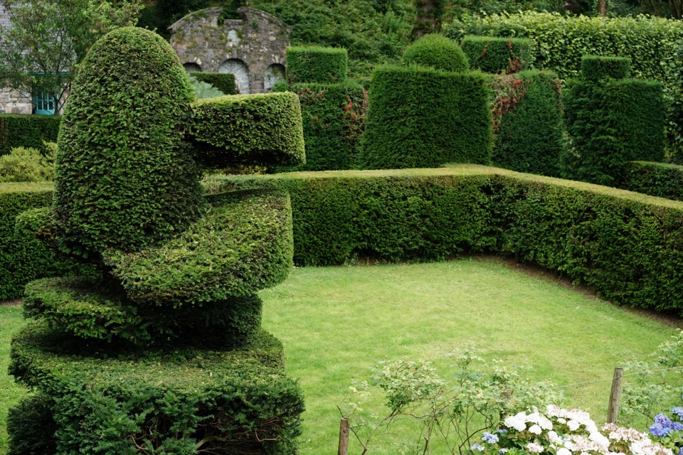 Sight · 7.4 km awayPlas Brondanw GardensTopiary, turquoise details, and mountain views in a garden of rooms
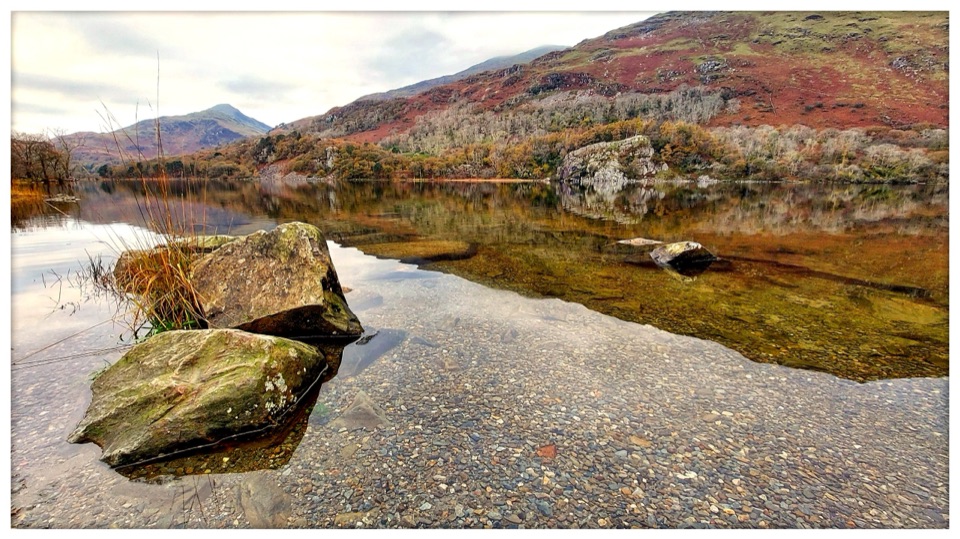 Sight · 7.5 km awayLlyn GwynantMountain reflections, cold swims, and a classic valley lake
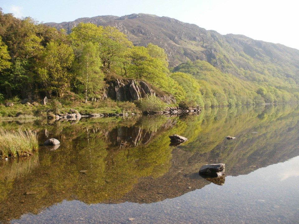 Sight · 7.7 km awayLlyn DinasMirror-calm Glaslyn water beneath the dragon-legend hill of Dinas Emrys
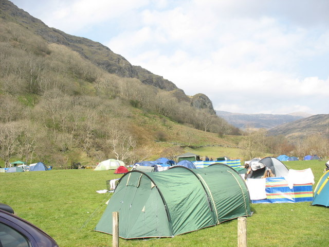 Campground · 7.8 km awayLlyn Gwynant CampsiteLakeside camping with direct access to wild swimming and mountain walks
Parkwolf’s Eryri ranking
The audio tour guide for the drive, plus offline maps, trails, and wildlife heatmaps for when the signal drops.



