Parking
Start and finish at the small National Park car park in Croesor village, near grid reference SH 631446. Spaces are limited. Use designated spaces only and never block homes, driveways or field entrances.
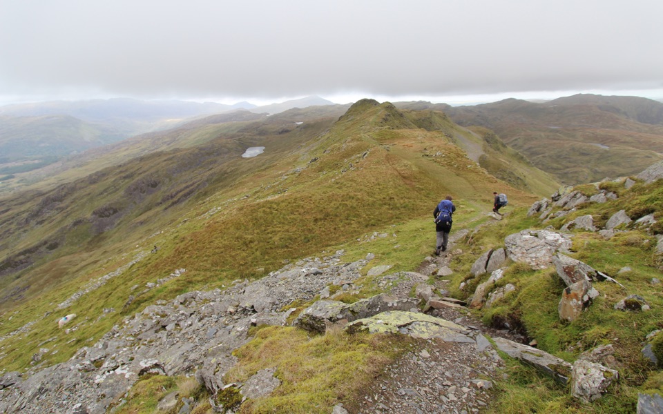
Eryri National Park, WA
Sharp ridge summit loop above Cwm Croesor, with slate country below
Overview
Map & elevation
Plan your hike

The highest, rockiest slopes around here are a summer buffet for grizzly bears.
Eryri Tour Guide
Parkwolf is a GPS audio tour guide for Eryri National Park. As you drive, it chimes in with what’s ahead: hidden gems, upcoming stops, history, geology, and wildlife, right through your car’s speakers.
Recorded for this trailhead
Croesor and Cnicht“You're approaching Croesor, the start for Cnicht, the pointed peak above the village.”
Plays as you drive up to this trailhead in the Parkwolf Eryri Tour Guide.
More stories near here in the app
“Fantastic app with many points of information… It’s great to just turn on while you’re driving and it gives you an audio tour of the national Park. We love it!!!!”


Trail guide
A circular loop of 8.7 km / 5.4 miles from Croesor village up to the summit of Cnicht (689 m), with roughly 620 m of ascent. Allow 3 to 4 hours with stops. It is a hard mountain day hike, 7/10, mostly because the climb is sustained and the return crosses rough, faint ground.
The start is tarmac and stony track. Above that expect grass, rock and boggy patches, with a rocky finish to the summit. Navigation becomes the main challenge after the summit. The high-level line toward Llyn y Biswail and the descent to the valley can be indistinct and wet, so carry a map and compass or an offline map and know how to use them in cloud. Sturdy boots with ankle support and grip make the descent far easier.
Dogs are welcome on this mix of public footpaths and permissive paths, kept under close control. Use a short lead near livestock and wildlife, and on open-access ground a lead of no more than 2 m is required from 1 March to 31 July. Bag and carry out waste, and take extra care around grazing sheep on the open mountain.
There is a shorter lower-level circular walk from the same village, around 5.5 km and about 3 hours, which stays in the valley and gives you the slate and glacial scenery without the summit climb or the navigation demands.
Wildlife
 77 sightingsGrey HeronMost seen around 7 AMSighting map
 17 sightingsTawny OwlMost seen around 6 AMSighting map
 32 sightingsCommon RavenMost seen around 8 AMSighting map
 21 sightingsGreat Spotted WoodpeckerMost seen around 7 AMSighting map
 18 sightingsEuropean RabbitMost seen around 7 AMSighting map
 161 sightingsViviparous LizardMost seen around 10 AMSighting map
Sighting maps show where each species has been reported across Eryri. Wildlife moves, so no sighting is guaranteed.
Keep exploring
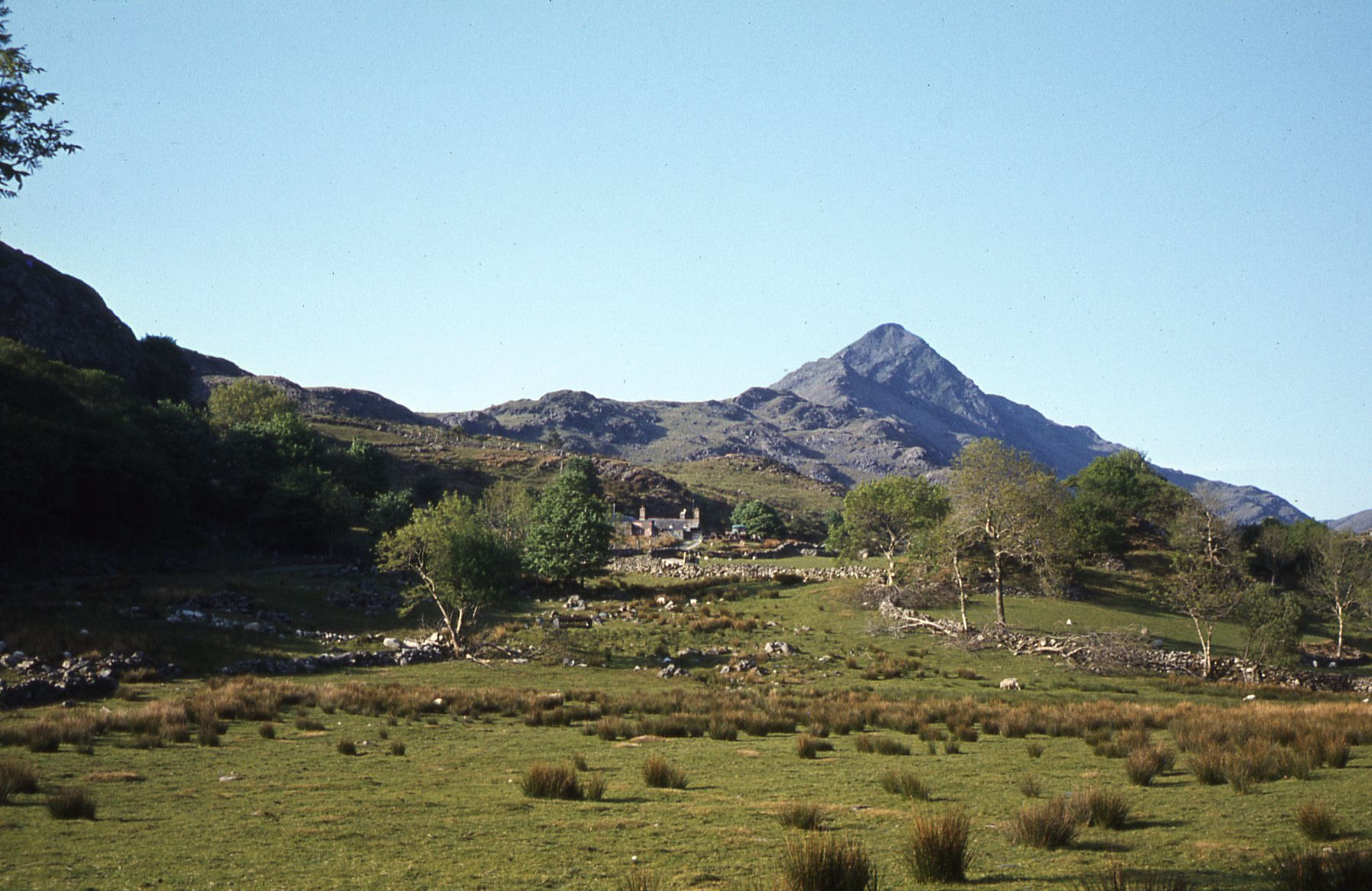 ModerateCroesor Circular5.5 km · 3 hr · At the trailheadA 5.5 km loop under the Welsh Matterhorn, past slate and river
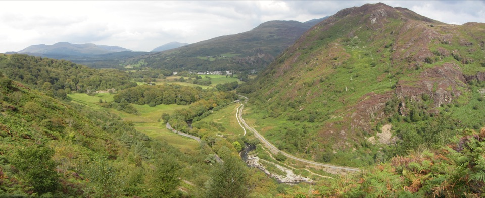 ChallengingAberglaslyn, Bryn Du and Beddgelert Walk5.6 km · 2 hr · 3.8 km awaySteep woodland climb to Bryn Du, then Gelert's grave and river paths
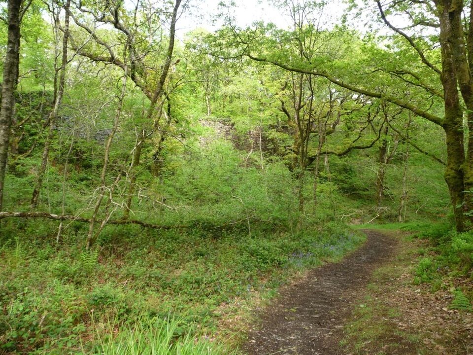 EasyStation Link Walk0.6 km · 30 min · 3.9 km awayBrief oak woodland climb linking the car park to Tan-y-Bwlch station
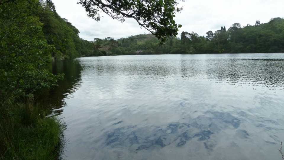 EasyDyffryn Maentwrog Woods and Llyn Mair Path3 km · 1 hr · 4.7 km awayGentle hour circuit to a wooded lake, small dam and picnic glades
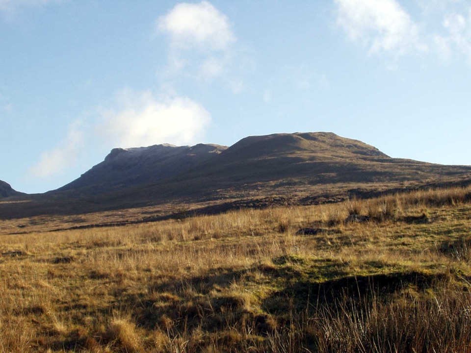 ChallengingMoelwyn Mawr and Moelwyn Bach Circular10.1 km · 5 hr · 5.2 km awayTwo rugged summits above slate ruins, quarry lakes and coastal views
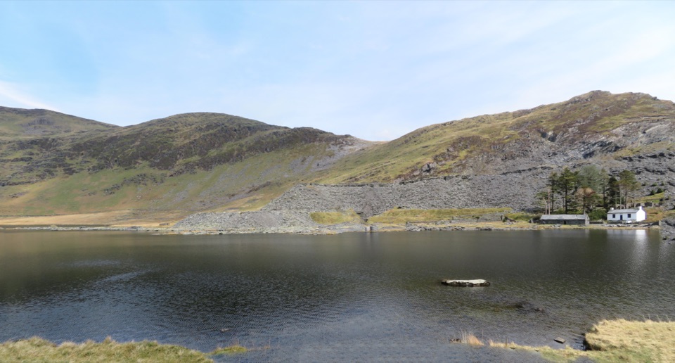 ModerateCwmorthin and Rhosydd Quarry Walk5.3 km · 2.3 hr · 5.2 km awaySlate ruins, a dark lake and remote quarry workings above the valley
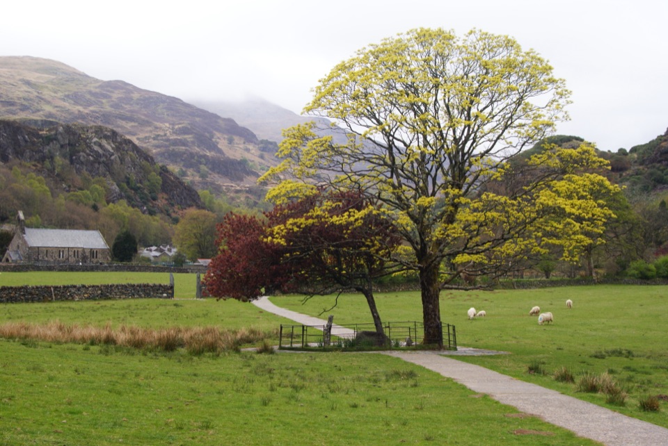 EasyGelert's Grave Walk2.1 km · 45 min · 5.3 km awayShort riverside loop to Gelert's stone memorial, with herons and dippers
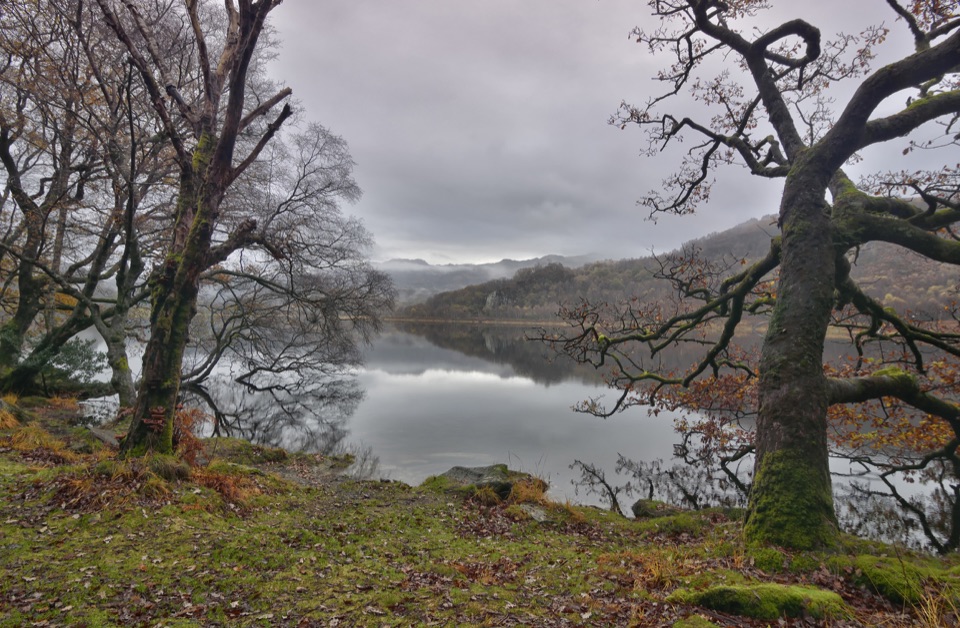 ModerateCraflwyn, Hafod y Llan and Llyn Dinas Walk10.5 km · 3.5 hr · 5.3 km awayOak woods, waterfalls and open heath on a loop to Llyn Dinas
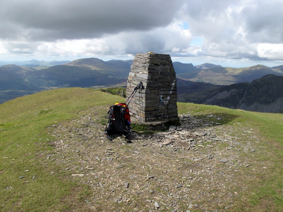 Sight · 2.7 km awayMoelwyn MawrA quiet 770-metre summit above slate country and sweeping views
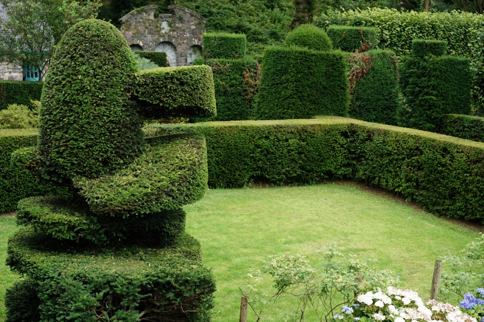 Sight · 2.9 km awayPlas Brondanw GardensTopiary, turquoise details, and mountain views in a garden of rooms
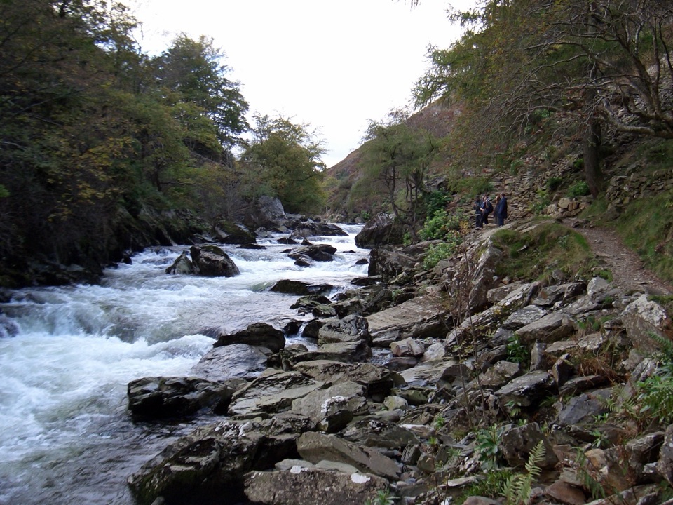 Sight · 4 km awayAberglaslyn PassA rushing river threading a dramatic wooded gorge
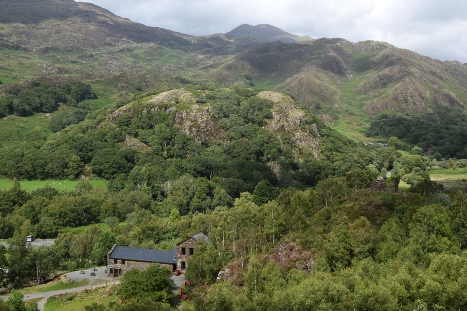 Sight · 4.9 km awaySygun Copper MineVictorian mine tunnels climb to a surprise mountain panorama
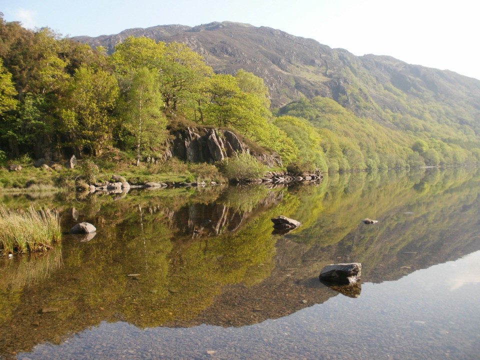 Sight · 5.1 km awayLlyn DinasMirror-calm Glaslyn water beneath the dragon-legend hill of Dinas Emrys
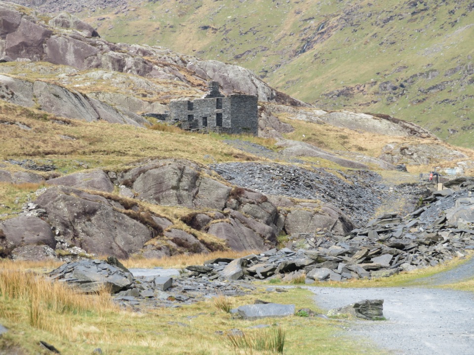 Sight · 5.1 km awayCwmorthin Slate QuarrySlate ruins, a mountain lake, and a steep path into industrial history
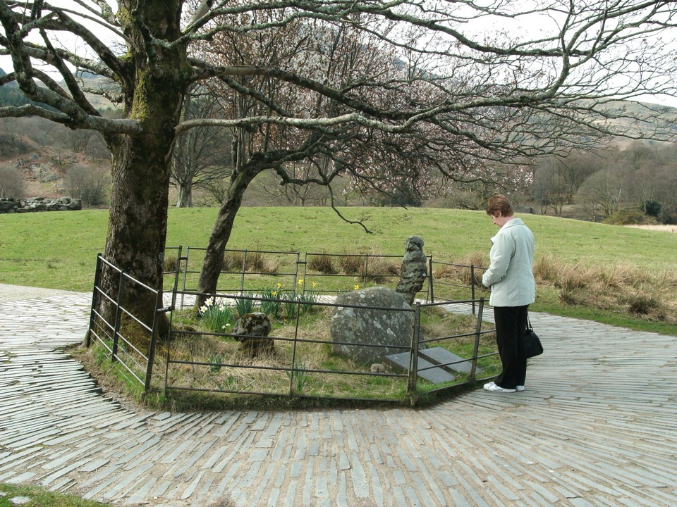 Sight · 5.1 km awayBedd Gelert (Gelert's Grave)A riverside memorial wrapped in Wales' most famous dog legend
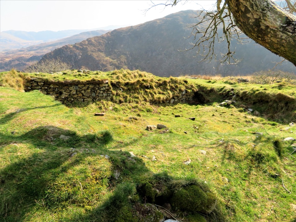 Sight · 5.2 km awayDinas EmrysA dragon legend, hillfort ruins, and a big Nant Gwynant view
Parkwolf’s Eryri ranking

The audio tour guide for the drive, plus offline maps, trails, and wildlife heatmaps for when the signal drops.




