Parking
Start from Cwmorthin Car Park near Tanygrisiau, at the eastern end of the route. It is the correct starting access and has a free medium-sized lot.
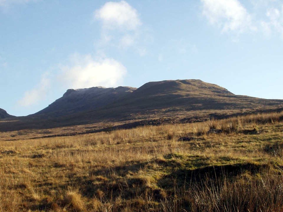
Eryri National Park, WA
Two rugged summits above slate ruins, quarry lakes and coastal views
Overview
Map & elevation
Plan your hike

The highest, rockiest slopes around here are a summer buffet for grizzly bears.
Eryri Tour Guide
Parkwolf is a GPS audio tour guide for Eryri National Park. As you drive, it chimes in with what’s ahead: hidden gems, upcoming stops, history, geology, and wildlife, right through your car’s speakers.
Recorded for this trailhead
Cwmorthin Slate Quarry“You're approaching the Cwmorthin walk above Tanygrisiau, where a steep slate track leads into a high valley of waterfalls, Llyn Cwmorthin and deserted quarry buildings.”
Plays as you drive up to this trailhead in the Parkwolf Eryri Tour Guide.
More stories near here in the app
“Fantastic app with many points of information… It’s great to just turn on while you’re driving and it gives you an audio tour of the national Park. We love it!!!!”


Trail guide
A hard circular mountain walk of 6.3 miles starting and finishing at Cwmorthin Car Park outside Tanygrisiau, taking in two summits, Moelwyn Mawr (around 770 m) and Moelwyn Bach (around 710 m), with roughly 2,444 ft of climbing. Depending on how you track it, the connected line through the full sequence can measure nearer 6.8 miles.
This is proper mountain walking rather than a low-level stroll. Expect steep, unrelenting ascents on grass, spoil and rock, and a steep rocky, mildly scrambly descent between Moelwyn Mawr, Craigysgafn and Bwlch Stwlan where hands may be needed and a head for heights helps. Lower sections through Cwmorthin can be boggy, and some paths are faint, so navigation skills and the ability to keep a line in poor visibility are important. Sturdy boots, waterproofs, food and water, and a map and compass you can use are sensible.
The payoff is two summits in a compact loop, with wide mountain views across the ranges and out towards the coast on clear days, plus the dark water of Llyn Cwmorthin below and Llyn Stwlan held in its bowl beneath the ridge. The valley floor is dense with slate-quarrying remains, including the shell of Capel Rhosydd and the Conglog and Rhosydd workings, giving the first and last miles a strong industrial character before the ground turns to open mountain.
The loop is best in settled, dry conditions with clear air, when the ridge is grippy and the summit views open up; late spring through early autumn generally offers the longest days and driest ground. Wet, windy or low-cloud days make the Craigysgafn section slippery and the faint paths harder to follow, and winter can bring snow and ice that demand more experience and equipment. Dogs should be kept under close control throughout, as the route crosses rough mountain and grazing land with quarry ruins, steep drops and uneven rock.
You get two summits, quarry heritage and big views for a fairly short distance, but the price is steep climbing, an exposed rocky descent, boggy ground and route-finding. If you want a gentler day, choose a lower valley walk instead; if you are confident on mountain terrain, this is a rewarding half-day round.
Wildlife
 77 sightingsGrey HeronMost seen around 7 AMSighting map
 17 sightingsTawny OwlMost seen around 6 AMSighting map
 32 sightingsCommon RavenMost seen around 8 AMSighting map
 21 sightingsGreat Spotted WoodpeckerMost seen around 7 AMSighting map
 18 sightingsEuropean RabbitMost seen around 7 AMSighting map
 161 sightingsViviparous LizardMost seen around 10 AMSighting map
Sighting maps show where each species has been reported across Eryri. Wildlife moves, so no sighting is guaranteed.
Keep exploring
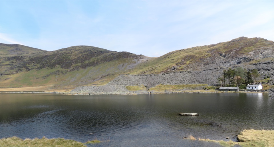 ModerateCwmorthin and Rhosydd Quarry Walk5.3 km · 2.3 hr · At the trailheadSlate ruins, a dark lake and remote quarry workings above the valley
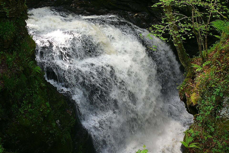 ChallengingRhaeadr Cynfal Waterfall Walk2.3 km · 1 hr · 3.9 km awayShort, steep out-and-back to a Victorian platform above a mossy gorge
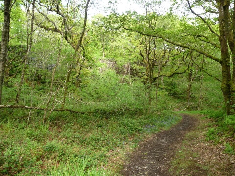 EasyStation Link Walk0.6 km · 30 min · 5.1 km awayBrief oak woodland climb linking the car park to Tan-y-Bwlch station
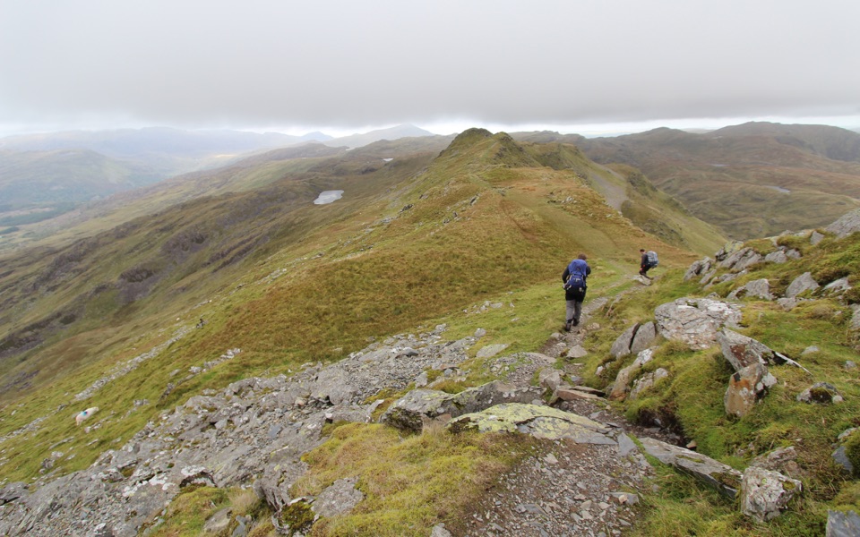 ChallengingCnicht from Croesor8.7 km · 3.5 hr · 5.2 km awaySharp ridge summit loop above Cwm Croesor, with slate country below
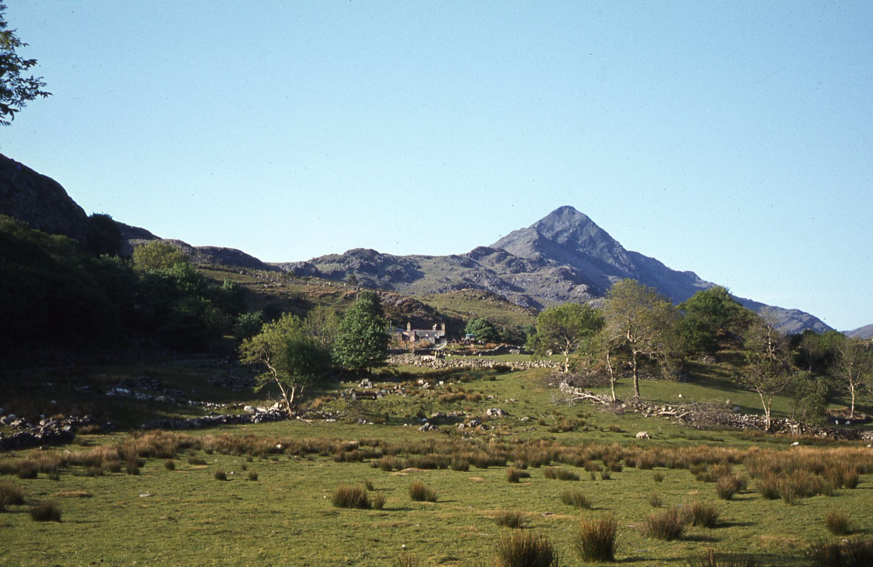 ModerateCroesor Circular5.5 km · 3 hr · 5.2 km awayA 5.5 km loop under the Welsh Matterhorn, past slate and river
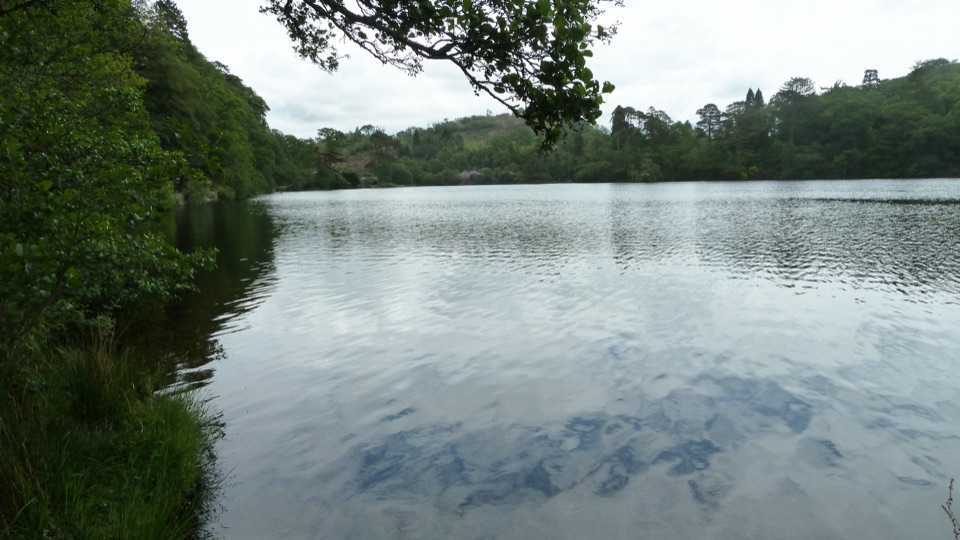 EasyDyffryn Maentwrog Woods and Llyn Mair Path3 km · 1 hr · 5.3 km awayGentle hour circuit to a wooded lake, small dam and picnic glades
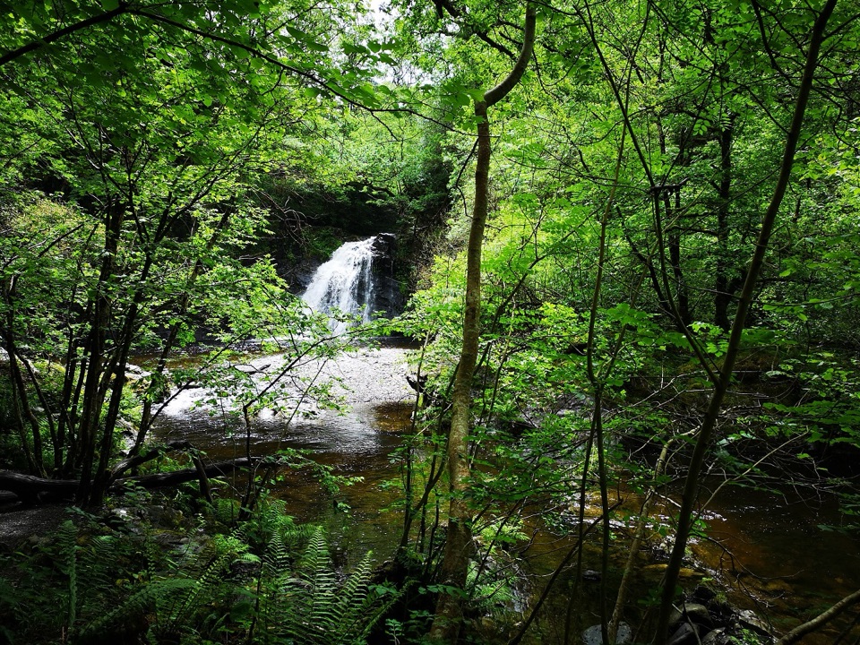 ChallengingRhaeadr Ddu Waterfall Walk (Ceunant Llennyrch)1.6 km · 1 hr · 6.4 km awaySteep mossy oakwood loop down to a hidden waterfall and ravine
 ChallengingWatkin Path12.9 km · 6 hr · 7.6 km awayWaterfalls, slate ruins and a brutally steep finish to Yr Wyddfa's summit
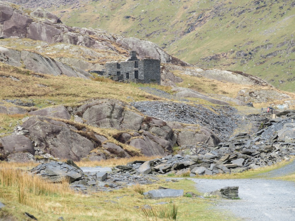 Sight · 0.6 km awayCwmorthin Slate QuarrySlate ruins, a mountain lake, and a steep path into industrial history
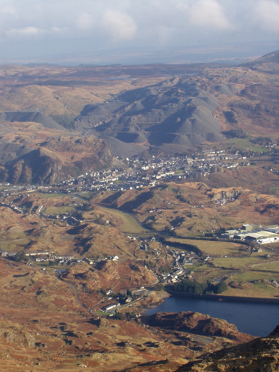 Sight · 1.9 km awayBlaenau FfestiniogSlate-built streets beneath the quarry scars of the Moelwynion
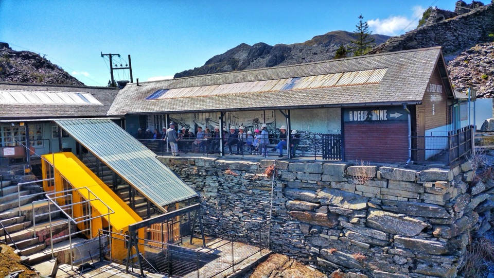 Sight · 2.3 km awayZip World LlechweddSlate mines turned into a full day of underground adventure
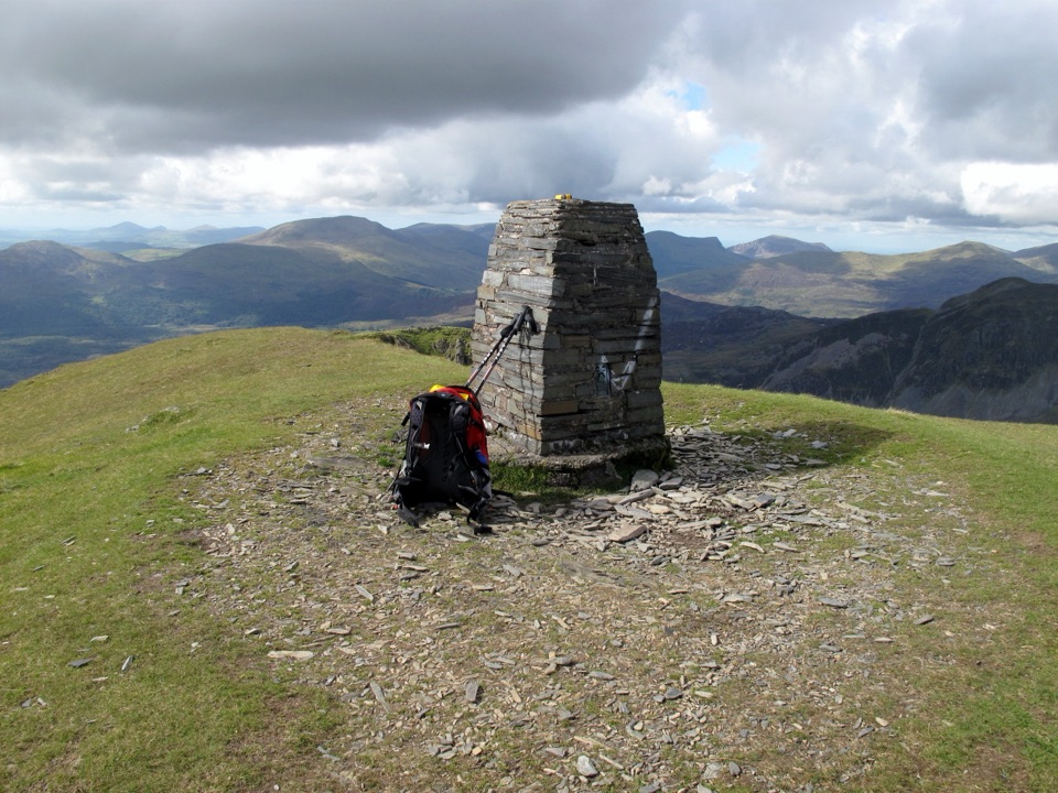 Sight · 2.5 km awayMoelwyn MawrA quiet 770-metre summit above slate country and sweeping views
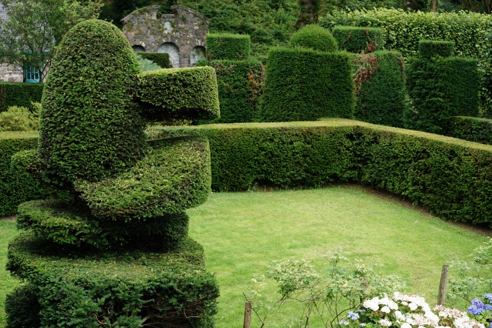 Sight · 7.4 km awayPlas Brondanw GardensTopiary, turquoise details, and mountain views in a garden of rooms
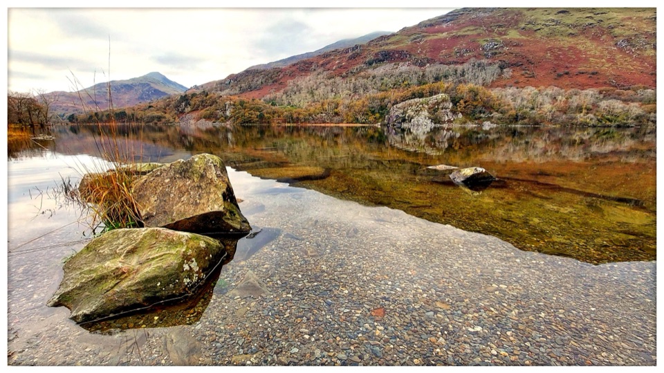 Sight · 7.5 km awayLlyn GwynantMountain reflections, cold swims, and a classic valley lake
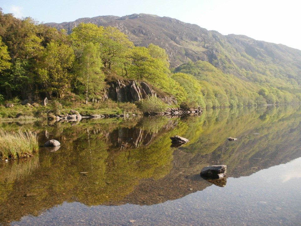 Sight · 7.7 km awayLlyn DinasMirror-calm Glaslyn water beneath the dragon-legend hill of Dinas Emrys
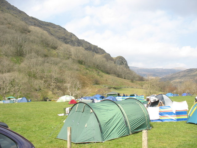 Campground · 7.8 km awayLlyn Gwynant CampsiteLakeside camping with direct access to wild swimming and mountain walks
Parkwolf’s Eryri ranking

The audio tour guide for the drive, plus offline maps, trails, and wildlife heatmaps for when the signal drops.



